The best running trails around Parco naturale Alta Valsesia
3.8
(15)
2,039
runners
101
runs
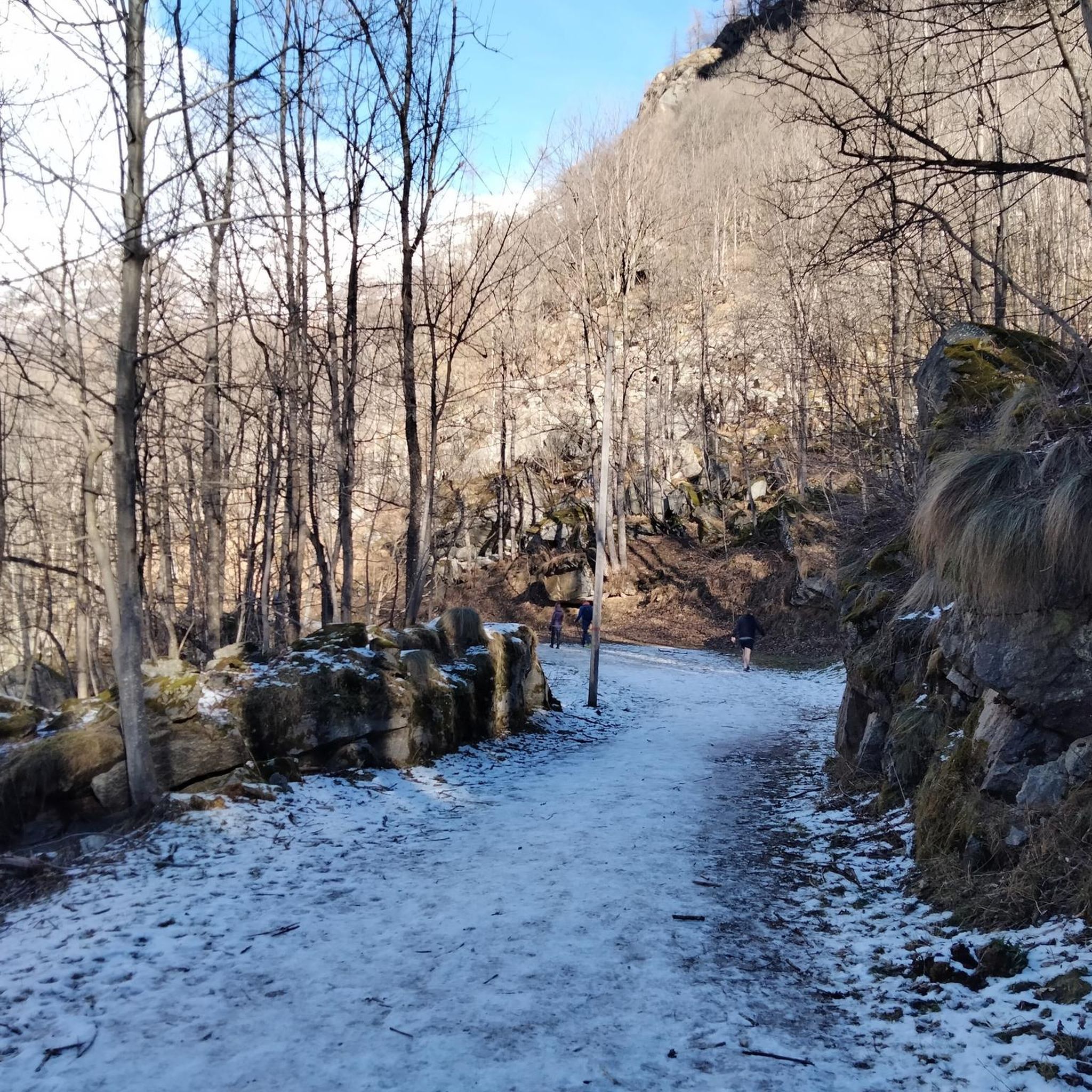
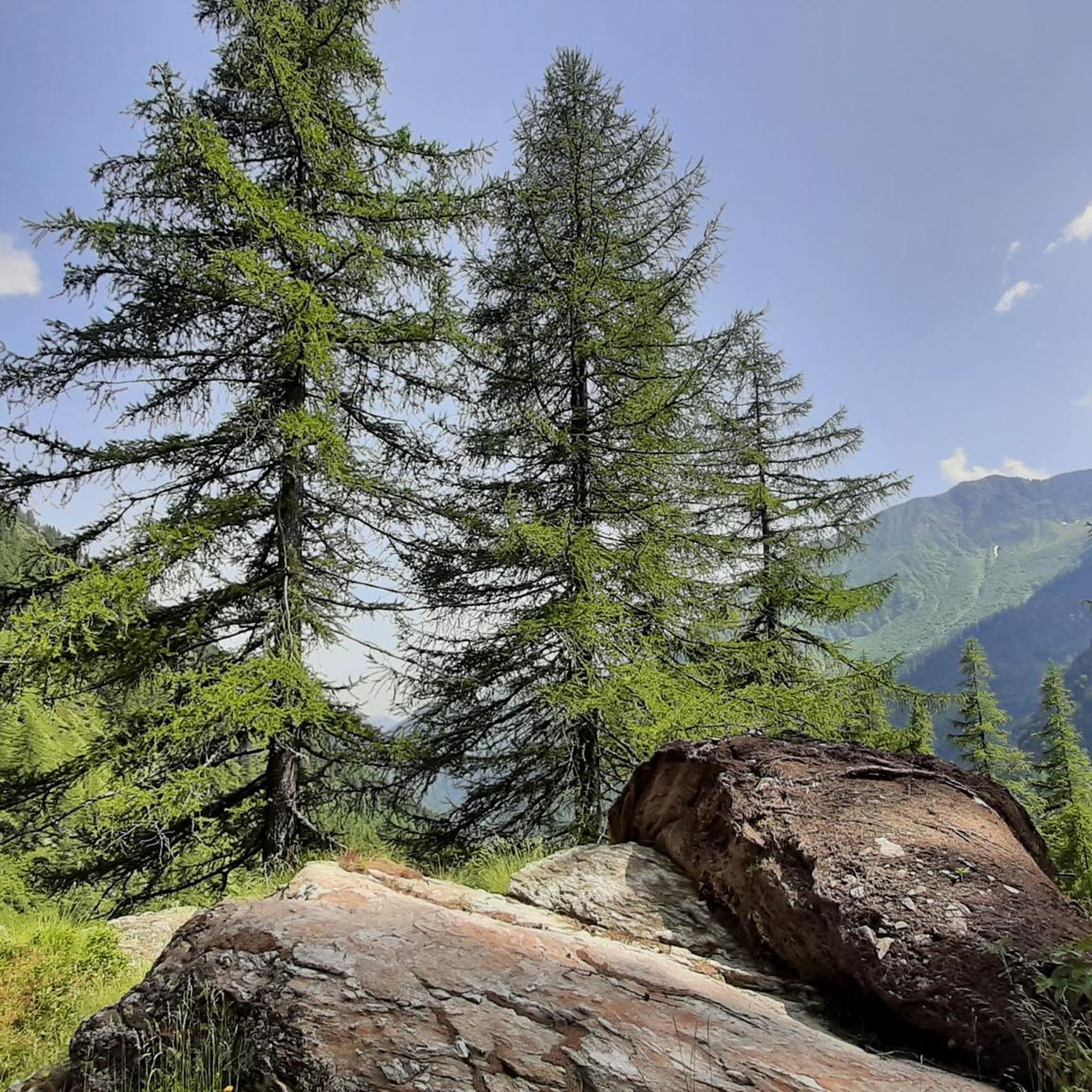
Jogging around Parco naturale Alta Valsesia offers diverse terrains within Europe's highest natural park, ranging from 880 meters up to 4,554 meters. The region is characterized by its glacial morphology, featuring majestic glaciers, alpine meadows, and dense larch and coniferous forests. Joggers can explore routes along the Sesia River, which has sculpted unique formations, and through areas with beech and spruce forests. This varied landscape provides a wide spectrum of running environments.
Best jogging routes around Parco naturale Alta Valsesia
…Last updated: August 1, 2026
1
runners
11.7km
03:18
1,230m
1,230m
This difficult 7.3-mile jogging loop to Passo della Moriana in Alta Valsesia offers alpine terrain, 4024 feet of gain, and panoramic views.
21
runners
6.44km
00:49
140m
130m
Hard run. Good fitness required. Sure-footedness, sturdy shoes and alpine experience required.

Sign up for free
28
runners
Hard run. Very good fitness required. Sure-footedness, sturdy shoes and alpine experience required.
27
runners
18.6km
03:47
1,430m
1,430m
Hard run. Very good fitness required. Sure-footedness, sturdy shoes and alpine experience required.
19
runners
10.6km
02:09
770m
770m
Jog the difficult 6.6-mile Glaciological trail in Parco Naturale Alta Valsesia for stunning Monte Rosa views and glacial insights.
Get access to more routes and recommendations from other explorers.
Sign up for free
Already have an account?
Our route recommendations are based on thousands of hikes, rides, and runs completed by other people on komoot.
Start today with a free account
Your next adventure awaits.
Login or Signup
Popular around Parco naturale Alta Valsesia
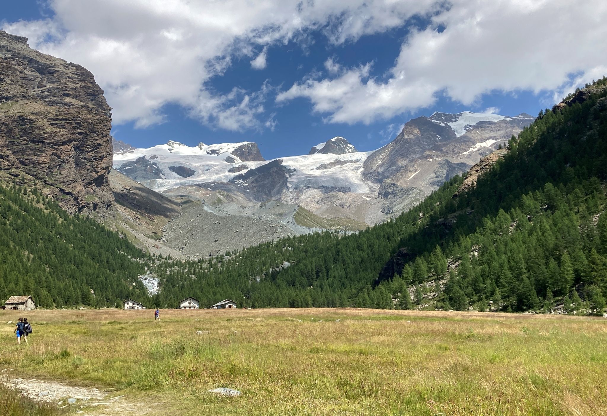
Tour of Monte Rosa – a trek among the Giants between Italy and Switzerland
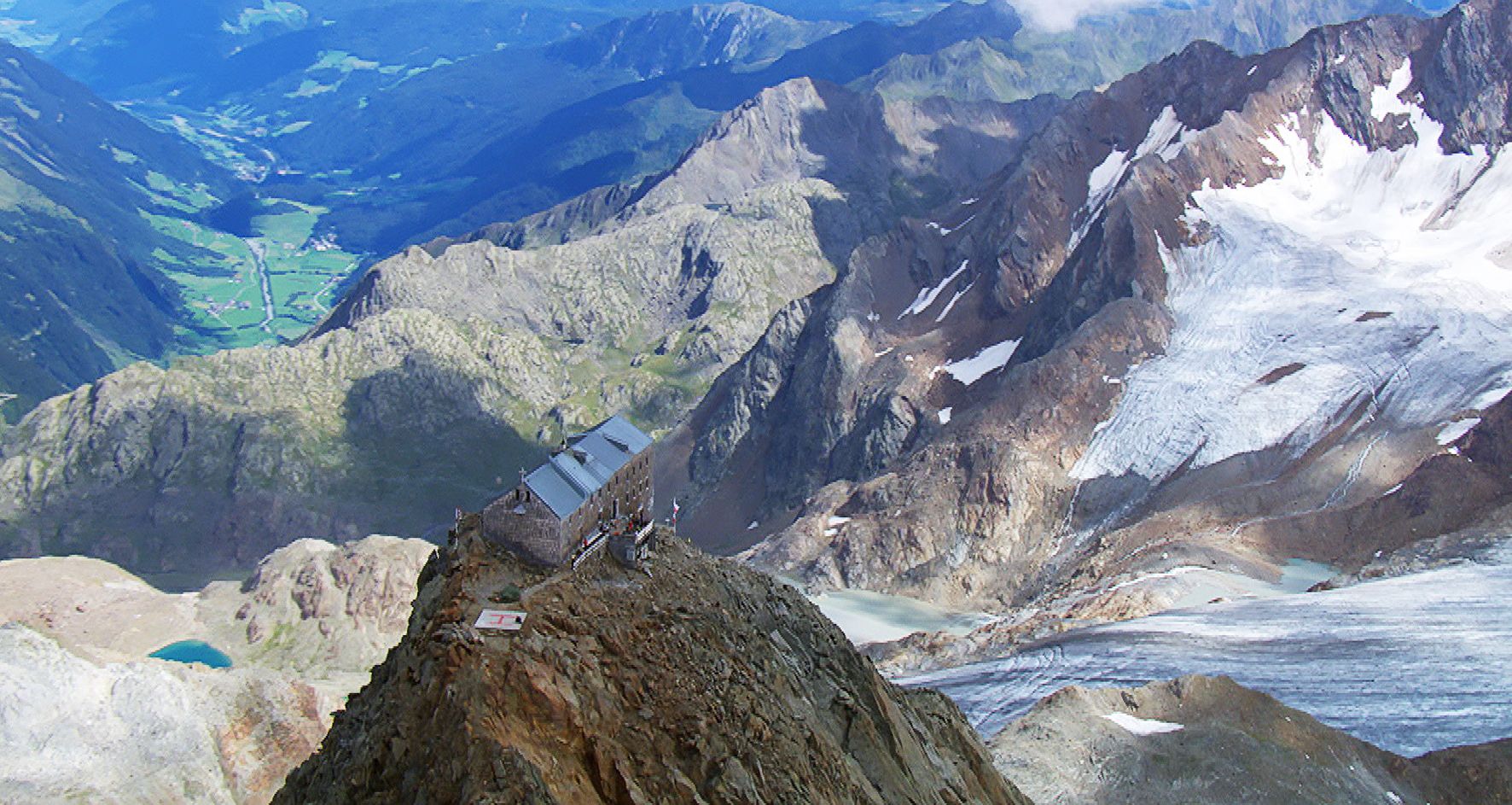
Sleep above 3000 meters
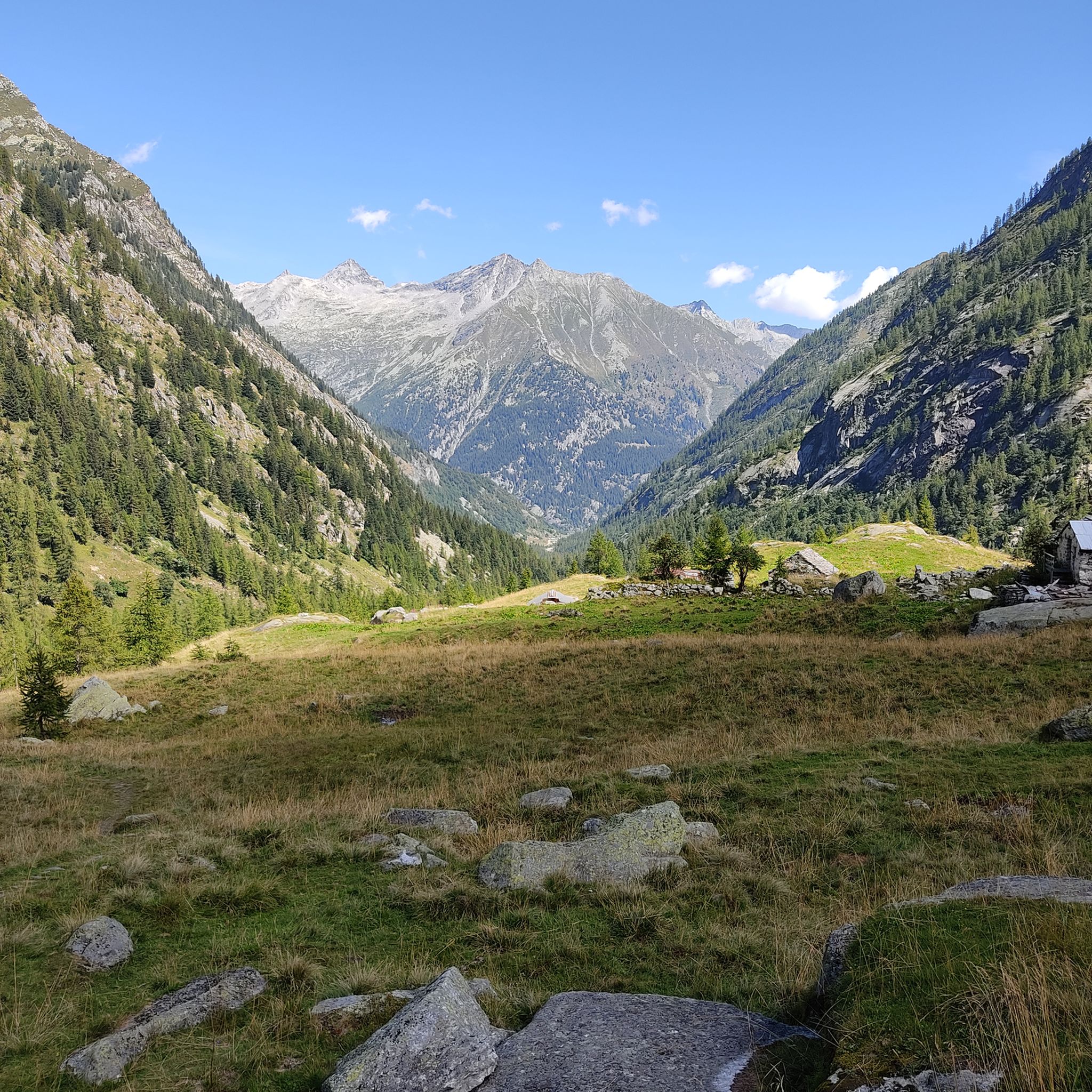
Hiking around Parco naturale Alta Valsesia
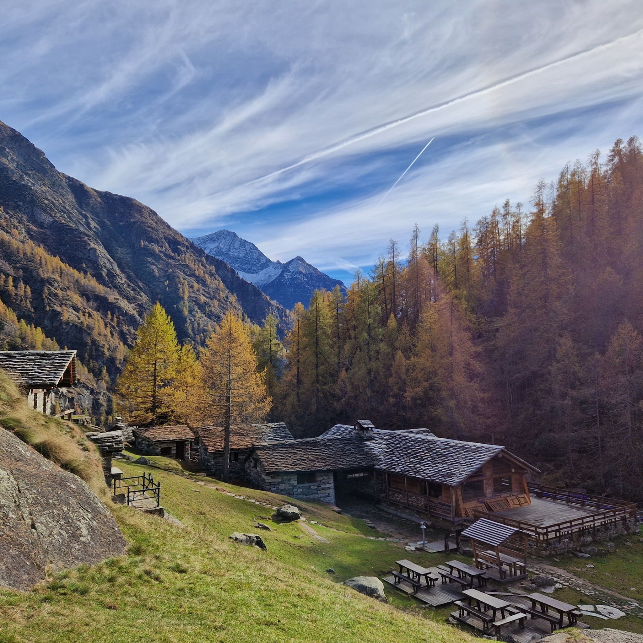
MTB Trails around Parco naturale Alta Valsesia
Road Cycling Routes around Parco naturale Alta Valsesia
Cycling around Parco naturale Alta Valsesia

Mountain Hikes around Parco naturale Alta Valsesia
Other adventures around Parco naturale Alta Valsesia


Tips from the Community


bridge towards Alpe Pile
0
1
clearly visible from the square of the same name at the end of Via Miniere
0
1

One of the refuges where I've eaten the best, the food is truly excellent. If you're passing through, I highly recommend stopping for a bite to eat. It's in a great location beneath Monte Rosa; you can see the Margherita hut through a telescope, and they also have tent sites for sleeping.
0
0

The waterfalls are spectacular especially in winter when they freeze! They are worth a visit. In winter, crampons are recommended
0
0

Excerpt from our experience ‘Top meeting with Monte Rosa in Alagna': Like the many small waterfalls, we plunge into the depths towards Rifugio Pastore. A pleasant meeting place where adventurers start or arrive. Not only are water bottles filled here, but adventurous spirits are also richly inspired by wild stories. Small glasses in combination with large amber-colored ones with a finished white collar find their way to dry lips. The stories become tougher and tougher. Unfortunately, time has not paused and has kept on going. You cannot stop time, and certainly not the last shuttle bus. By attending this youthful, carefree conviviality, we missed the last shuttle bus. In the Alagna valley, the streetlights are lit and locals are ready for the late-night news. The red lantern is lit and along a steep, sobering evening walk through the deeply eroded riverbed, we arrive back at the empty parking lot in Wold. We stand here all alone, just the two of us. No ‘Maglia Rosa’ for us today. Besides sore knees and overloaded joints, we still hold a beautiful memory of the top meeting with Monte Rosa. Triggered to the whole hiking experience? Read the whole story at https://www.komoot.com/nl-nl/tour/803208791
2
2

This pass is just below Cima delle Pisse and offers a unique view that repays the challenging effort to reach it. The Moriana Pass and the Cima are located along the ridge that separates the Val d'Egua from the Anzasca Valley (or rather from the Moriana Valley.)
0
0
Beautiful waterfalls and nature immersion area not very popular.
1
0
Frequently Asked Questions
How many running routes are available in Parco naturale Alta Valsesia?
The Parco naturale Alta Valsesia region offers a wide variety of running routes, with over 70 different trails available for exploration. These routes cater to various preferences, from challenging mountain runs to more accessible paths.
What kind of terrain can I expect when jogging in Parco naturale Alta Valsesia?
Jogging in Parco naturale Alta Valsesia offers incredibly diverse terrain. As Europe's highest natural park, you'll encounter everything from lush larch and coniferous forests to expansive alpine meadows and dramatic glacial landscapes. Routes often follow the Sesia River, which has sculpted unique formations, and can include areas with dense beech and spruce forests, providing a wide spectrum of running environments.
Are there any running routes that feature waterfalls?
Yes, several routes in the park feature stunning waterfalls. For example, the Rio Passone Waterfalls – Colle d'Egua loop from Carcoforo is a difficult 5.7-mile path that includes waterfalls and mountain passes. Another option is the Acqua Bianca Waterfall – Rifugio Ferrero loop from Cascata dell'Acqua Bianca, a 5.1-mile trail leading through mountainous terrain with the beautiful Acqua Bianca Waterfall.
What are some notable landmarks or points of interest I might see along the running trails?
The park is rich in natural and cultural landmarks. Along your runs, you might encounter impressive mountain passes like Colle del Turlo (2738 m), or enjoy views of majestic peaks such as Vincent Pyramid. Mountain huts like Rifugio F. Pastore (Alpe Pile) also offer scenic stops and impressive views of Monte Rosa's south face.
Are there any easy or beginner-friendly jogging routes in the Parco naturale Alta Valsesia?
While many routes in Parco naturale Alta Valsesia are challenging, there are a few options suitable for beginners or those looking for an easier run. The guide indicates that 4 routes are classified as easy, and 5 as moderate, out of the total 74. These typically feature less elevation gain and more gentle paths, though specific route names for easy trails are not detailed here.
What do other runners enjoy most about jogging in Parco naturale Alta Valsesia?
The running routes in Parco naturale Alta Valsesia are highly rated by the komoot community, with an average score of 4.2 stars from 10 reviews. Runners often praise the breathtaking alpine scenery, the diverse glacial landscapes, and the extensive network of trails that cater to various levels of experience. The opportunity to spot wildlife like ibexes and marmots also adds to the experience.
Can I find circular running routes in the park?
Yes, many of the running routes in Parco naturale Alta Valsesia are designed as loops, offering varied scenery without retracing your steps. Examples include the Cima delle Pisse and Corno della Busacca Loop, the Rio Passone Waterfalls – Colle d'Egua loop from Carcoforo, and the Acqua Bianca Waterfall – Rifugio Ferrero loop from Cascata dell'Acqua Bianca.
What is the typical duration for a running route in this region?
The duration of running routes in Parco naturale Alta Valsesia varies significantly based on distance and difficulty. For instance, the Cima delle Pisse and Corno della Busacca Loop, a difficult 7.3-mile trail, typically takes around 3 hours 17 minutes. A shorter, difficult route like the Acqua Bianca Waterfall – Rifugio Ferrero loop (5.1 miles) can be completed in about 1 hour 43 minutes.
Are there any specific trails that offer views of Monte Rosa?
Yes, the park's unique alpine environment, extending up to Punta Gnifetti at 4,554 meters on the Monte Rosa massif, means many trails offer stunning views. The Rifugio Barba Ferrero loop is specifically highlighted as being at the foot of Monte Rosa, providing excellent vistas. Additionally, the Glaciological Trail in Alagna is known for offering stunning views of Monte Rosa.
What is the best time of year to go running in Parco naturale Alta Valsesia?
Parco naturale Alta Valsesia is best enjoyed for running during the warmer months, typically from late spring to early autumn. This period offers more accessible trails, pleasant weather, and the full beauty of alpine meadows and forests. During winter, many higher-altitude trails may be covered in snow, making them suitable only for ski mountaineering or requiring specialized equipment.
Can I expect to see wildlife while jogging in the park?
Yes, Parco naturale Alta Valsesia is a haven for wildlife. Joggers often have the opportunity to spot various animals during their excursions, including ibexes, chamois, marmots, roe deer, black grouse, hares, and even golden eagles. The park's diverse ecosystems, from forests to alpine meadows, provide habitats for a rich array of species.
What is the 'Glaciological Trail' and where is it located?
The 'Glaciological Trail' is a particularly notable route for joggers located in Alagna. It is approximately 6.6 miles long and offers an engaging way to learn about the area's glacial history while providing stunning views of Monte Rosa. This trail allows runners to experience the unique glacial morphology that defines much of the park's landscape.
Most popular routes around Parco naturale Alta Valsesia
Most popular attractions around Parco naturale Alta Valsesia

Get inspired with the komoot mobile app


Explore more
Browse the best Running Trails & Routes in other regions.
