The best mountain hikes around Parco naturale dell'Alto Garda Bresciano
4.7
(181)
1,151
hikers
57
hikes
Mountaineering routes around Parco naturale dell'Alto Garda Bresciano offer a diverse landscape, transitioning from Mediterranean lakeside vegetation to rugged alpine peaks. The region is characterized by steep rocky cliffs, extensive natural terraces, and vast hilly and mountainous areas, creating a dramatic contrast between the mild climate of Lake Garda and the alpine wilderness. This natural park, home to 137 named peaks, provides a rich environment for challenging ascents and panoramic views.
Best mountaineering routes around Parco naturale dell'Alto Garda Bresciano
…Last updated: August 28, 2026
5.0
(5)
18
hikers
Hard mountaineering route. Great for any fitness level. Sure-footedness, sturdy shoes and alpine experience required.
5.0
(1)
11
hikers
6.76km
03:06
480m
480m
Hard mountaineering route. Good fitness required. Sure-footedness, sturdy shoes and alpine experience required.

Sign up for free
4.8
(16)
94
hikers
11.4km
06:04
1,020m
1,020m
Hard mountaineering route. Very good fitness required. Sure-footedness, sturdy shoes and alpine experience required.
3.8
(5)
85
hikers
Hard mountaineering route. Good fitness required. Sure-footedness, sturdy shoes and alpine experience required.
5.0
(1)
24
hikers
7.95km
04:12
710m
710m
Hard mountaineering route. Good fitness required. Sure-footedness, sturdy shoes and alpine experience required.
Get access to more routes and recommendations from other explorers.
Sign up for free
Already have an account?
Our route recommendations are based on thousands of hikes, rides, and runs completed by other people on komoot.
Start today with a free account
Your next adventure awaits.
Login or Signup
Popular around Parco naturale dell'Alto Garda Bresciano
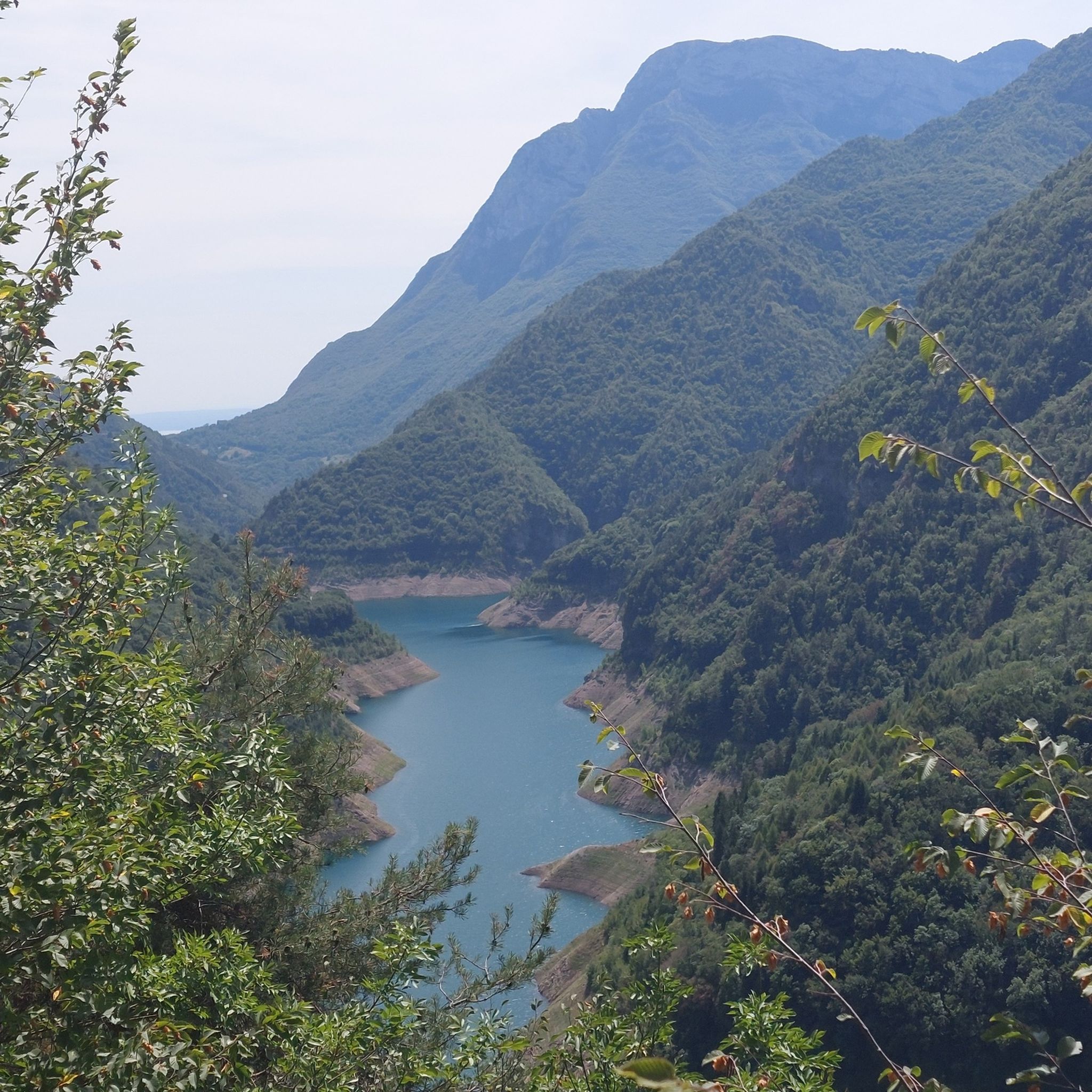
Hiking around Parco naturale dell'Alto Garda Bresciano
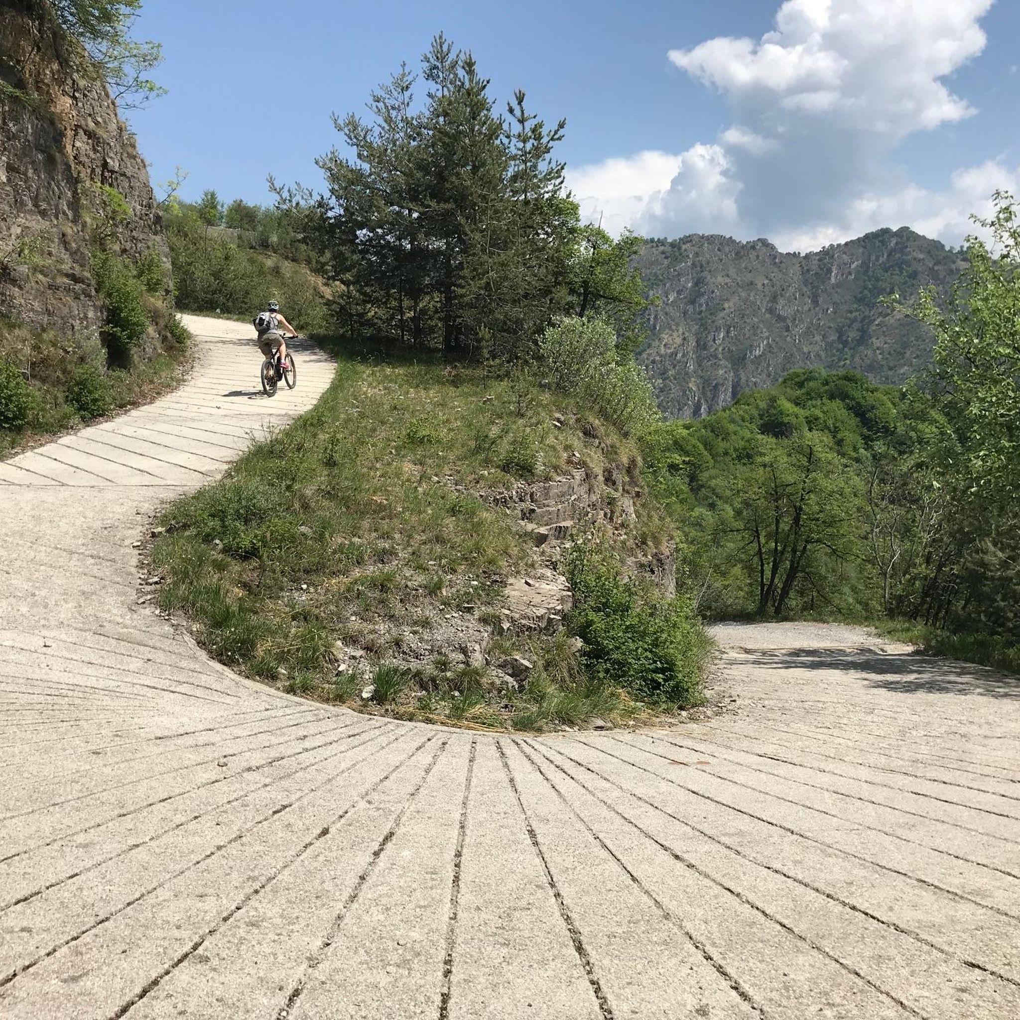
Road Cycling Routes around Parco naturale dell'Alto Garda Bresciano
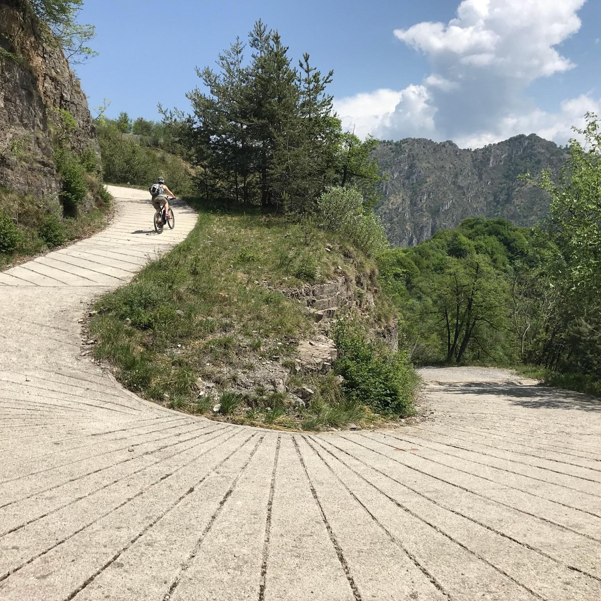
Cycling around Parco naturale dell'Alto Garda Bresciano
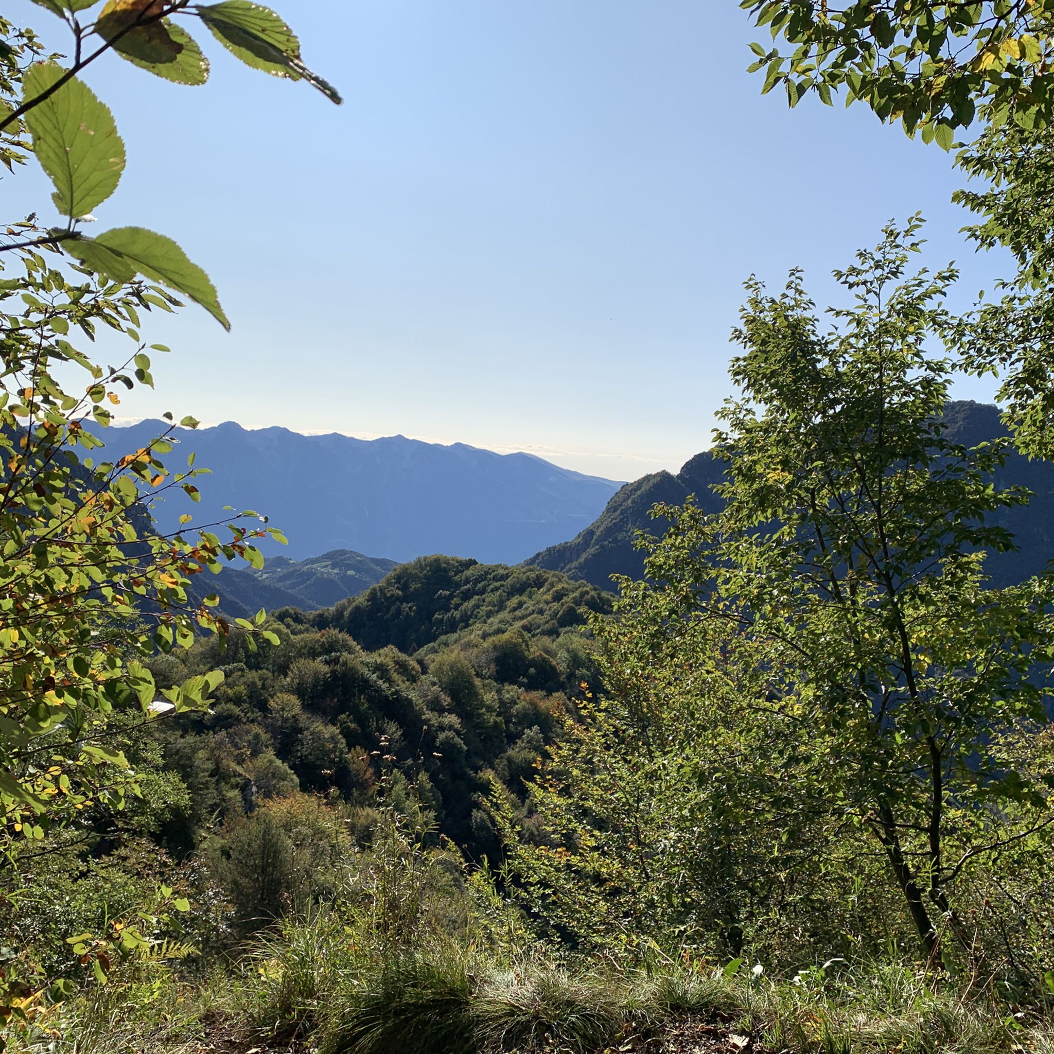
MTB Trails around Parco naturale dell'Alto Garda Bresciano
Running Trails around Parco naturale dell'Alto Garda Bresciano

Gravel biking around Parco naturale dell'Alto Garda Bresciano
Tips from the Community

Tips on where to park if you are in a group?
0
0

A top spot, beautifully situated directly above Lake Garda; if you set off early, you can visit the chapel and the hermit's living quarters alone; impressive views over Gargnano on the way there; it's best to park in Sasso and then follow the signposted trail; just before reaching the destination, there's a slight downhill section over rocks with safety ropes.
0
0

The return included the circumnavigation of Monte Castello di Gaino, passing through the Camerate valley (or Cartiere valley) where, in addition to being able to cool off in the stream, it is essential to pay maximum attention to the landslides in the area, currently placed under maximum attention and subject to safety interventions. Along the forest road, there are two barriers that delimit the risk area, with great caution it is possible to cross them.
0
0
Be careful in some places because the white and red markings are not always clearly visible, but the path is quite well-trodden. Challenging for people with little training in their legs.
0
0

Spectacular view, and beautiful route with only a little technical sections.
0
0

Not far from the path that leads to Monte Castello di Gaino, this panoramic point offers a spectacular view of Lake Garda. From here, you can admire the blue waters of the lake that extend to the horizon, surrounded by the rolling hills and mountains that outline its profile.
0
0

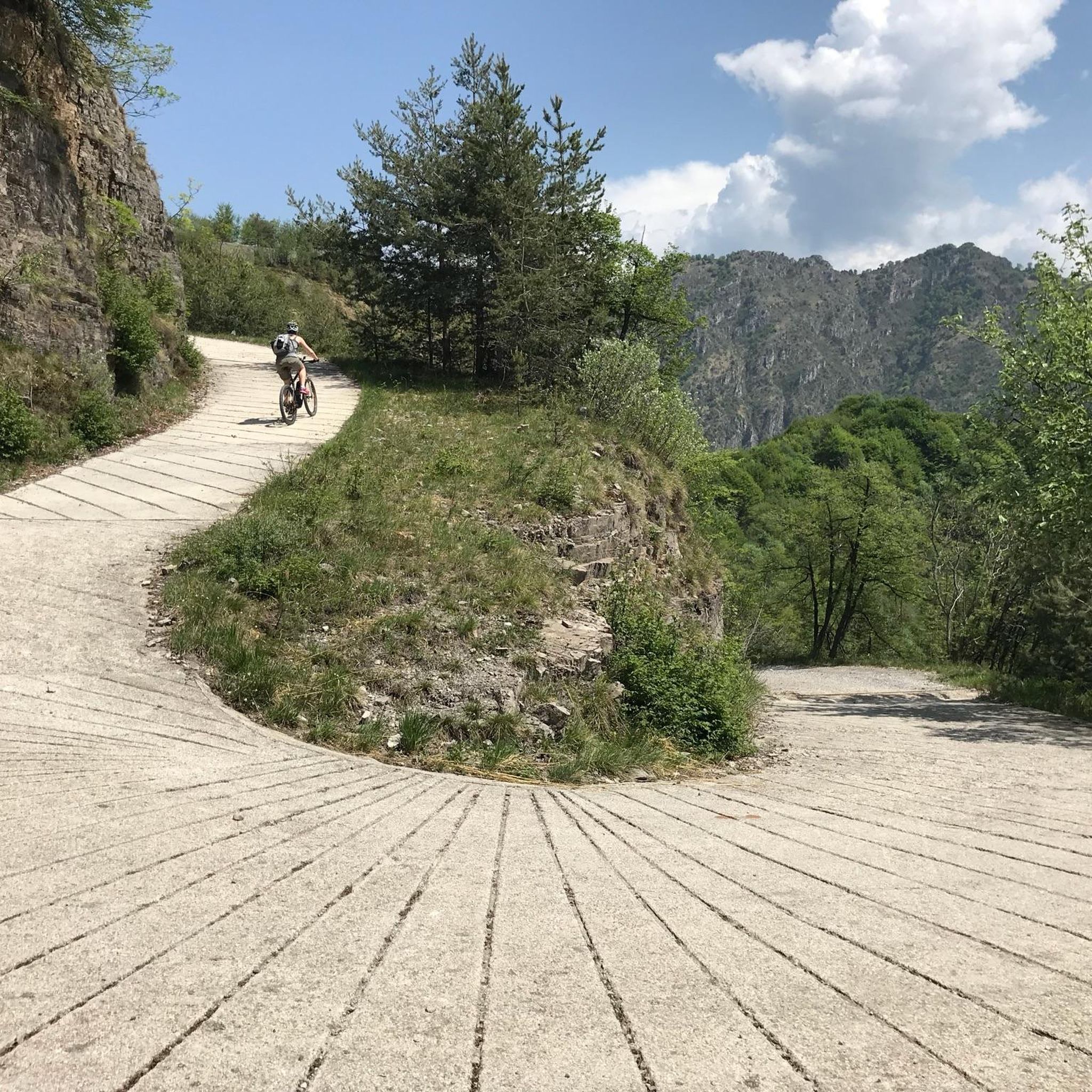
Going up the mountain out of Sasso, the road offers fantastic views of the town and the lake.
0
0
Frequently Asked Questions
What are the typical difficulties of mountaineering routes in Parco naturale dell'Alto Garda Bresciano?
The mountaineering routes in Parco naturale dell'Alto Garda Bresciano are generally challenging. You'll find 27 moderate and 41 difficult routes, offering a range of experiences from demanding ascents to high-altitude treks. The terrain often includes steep rocky cliffs and mountainous areas.
Are there any less demanding mountaineering routes suitable for those with some experience?
While there are no routes classified as 'easy' for mountaineering, there are 27 moderate routes available. These still offer a good challenge but might be more accessible than the most difficult climbs. For example, the Monte Castello Summit loop from Navazzo is a difficult route but is shorter, taking under 2 hours to complete.
Which routes offer the best panoramic views of Lake Garda?
Many routes provide stunning vistas. The Monte Pizzocolo Summit loop from Municipio di Toscolano Maderno is renowned for its views from Monte Pizzocolo. Other peaks like Monte Caplone also offer breathtaking panoramas of Lake Garda and the surrounding alpine landscape.
What natural features or landmarks can I expect to see along the mountaineering routes?
You'll encounter a diverse landscape, from Mediterranean lakeside vegetation to rugged alpine peaks. Notable features include the Valvestino Valley with its pristine forests and the artificial Lake Valvestino, which has a fjord-like appearance. You might also discover waterfalls and serene streams along various trails. Peaks like Monte Caplone and viewpoints like Termen Viewpoint offer spectacular sights.
Are there any circular mountaineering routes in the park?
Yes, several mountaineering routes in Parco naturale dell'Alto Garda Bresciano are circular. Examples include the popular Monte Castello Summit loop from Navazzo and the longer Monte Pizzocolo Summit loop from Municipio di Toscolano Maderno. These loops allow you to start and end at the same point, offering a convenient way to explore the area.
What do other mountaineers enjoy most about the routes in Parco naturale dell'Alto Garda Bresciano?
The routes in Parco naturale dell'Alto Garda Bresciano are highly rated by the komoot community, with an average score of 4.7 stars from over 170 reviews. Mountaineers often praise the diverse terrain, the challenging ascents, and the rewarding panoramic views of Lake Garda and the alpine wilderness.
Can I bring my dog on the mountaineering trails?
While the region is generally dog-friendly, it's always best to check specific trail regulations within the Parco naturale dell'Alto Garda Bresciano. Some protected areas or trails might have restrictions, especially concerning wildlife. Always keep your dog on a leash and ensure they are capable of handling the challenging terrain and elevation changes.
Are there any historical sites or cultural points of interest along the mountaineering routes?
Yes, the park integrates cultural heritage with its natural beauty. The Entrance to the War Cemetery – Emergency Shelter loop from Vesio traverses historical sites. You can also find medieval hamlets and sites like the Santuario Madonna del Rio in the broader region. The Valvestino Valley features an open-air ecological museum, including the Milk Museum of Persone.
What is the best time of year for mountaineering in Parco naturale dell'Alto Garda Bresciano?
The best time for mountaineering is typically from late spring to early autumn (May to October) when the weather is more stable and trails are clear of snow at higher elevations. The mild climate of the Garda coast contrasts with the alpine wilderness, so conditions can vary. Always check local weather forecasts before heading out.
Are there any routes that pass by interesting water features like lakes or dams?
Yes, some routes offer views of or pass near significant water features. The Valvestino Valley, for instance, is home to the artificial Lake Valvestino, created by the Ponte Cola Dam. You might also encounter the Submerged Ruins of Lake Valvestino, adding a unique element to your hike.
What should I bring for a mountaineering trip in this region?
Given the challenging terrain and varying altitudes, it's essential to be well-prepared. Bring appropriate mountaineering boots, layered clothing suitable for changing weather, plenty of water, high-energy snacks, a map and compass or GPS device, and a first-aid kit. Trekking poles can also be very helpful on steep ascents and descents.
Are there any routes suitable for families with older children who have some hiking experience?
While many routes are classified as difficult, some moderate routes might be suitable for families with older, experienced children. It's crucial to assess the specific route's elevation gain, distance, and terrain. Always choose a route that matches the fitness and experience level of the least experienced member of your group. The Church of San Valentino loop from Gargnano is a difficult route but offers a shorter distance, which might be manageable for active families.
Most popular routes around Parco naturale dell'Alto Garda Bresciano
Most popular attractions around Parco naturale dell'Alto Garda Bresciano

Get inspired with the komoot mobile app


Explore more
Browse the best Mountain Hikes & Routes in other regions.
