The best running trails around Parco naturale regionale dell'Aveto
4.7
(30)
2,434
runners
57
runs
Jogging routes around Parco naturale regionale dell'Aveto traverse a diverse landscape within the Ligurian Apennines, characterized by high-mountain areas, extensive woodlands, and pristine valleys. The region features beech, chestnut, and conifer forests, alongside open meadows and pastures, with crystal-clear streams winding through the terrain. Geological formations, including rocky peaks like Groppo Rosso, and ancient glacial lakes such as Lago delle Lame, contribute to the varied environment. The park's terrain ranges from gentle slopes to challenging ascents, offering a wide array of running experiences.
Best jogging routes around Parco naturale regionale dell'Aveto
- The most popular jogging route is From Passo dell'Incisa to Monte Penna – ring run, a 2.3 miles (3.6 km) trail that takes 42 minutes to complete. This route offers views of Monte Penna and the surrounding high-mountain landscape.
- Another top favourite among local runners is Monte Zatta di Levante – Monte Zatta di Ponente loop from Passo del Bocco, a difficult 4.6 miles (7.4 km) path. This route winds through varied terrain, including woodlands and open areas near mountain passes.
- Local runners also love the Rifugio Casermette del Penna – Monte Trevine loop from Monte Penna, a 5.8 miles (9.3 km) trail leading through mountainous terrain near Monte Penna, often completed in about 1 hour 19 minutes.
- Jogging around Parco naturale regionale dell'Aveto is defined by lush forests, clear waters, and mountainous vistas. The extensive network of routes offers options for different ability levels, from easy runs around lakes to more challenging ascents.
- The routes in Parco naturale regionale dell'Aveto are highly rated by the komoot community with an average score of 4.6 stars from over 18 reviews. More than 1700 runners have used komoot to explore Parco naturale regionale dell'Aveto's varied terrain.
Last updated: October 30, 2026
3.64km
00:42
240m
240m
This difficult ring run takes you from Passo dell'Incisa to Monte Penna, covering 2.3 miles (3.6 km) with a significant 781 feet (238 metres) of elevation gain, typically taking about 42 minutes for jogging. You will encounter varied terrain, from more accessible forest roads to rocky ascents as you climb towards Monte Penna. The route winds through dense beech and fir forests, offering glimpses of the picturesque Lago del Penna, a small glacial lake nestled among the trees. From the summit of Monte Penna, you can enjoy extraordinary 360-degree panoramic views that, on clear days, extend all the way to the Ligurian Sea.
This trail is considered difficult, especially for jogging, due to its challenging nature and significant elevation changes. Some sections may be technical or hazardous, requiring good fitness and sure-footedness. You should wear robust footwear and be prepared for mountainous terrain. Prior experience and specialist equipment might be necessary for certain parts of the route.
Monte Penna, at 1735 meters, is a significant peak in the Ligurian Apennines, known for its expansive views and a statue of the Madonna. The trail also passes Passo dell'Incisa, a crucial crossing point of the Alta Via dei Monti Liguri, whose name is said to derive from the Romans felling forests. Keep an eye out for the unique "Nave del Penna," a conical glacial formation resembling a ship's hull on the north side of the mountain.
8
runners
5.31km
00:40
180m
180m
Hard run. Good fitness required. Sure-footedness, sturdy shoes and alpine experience required.

9
runners
17.1km
02:24
540m
540m
Hard run. Very good fitness required. Sure-footedness, sturdy shoes and alpine experience required.
5
runners
30.8km
04:35
1,190m
1,190m
Hard run. Very good fitness required. Sure-footedness, sturdy shoes and alpine experience required.
12
runners
50.8km
07:50
2,310m
2,310m
Hard run. Very good fitness required. Sure-footedness, sturdy shoes and alpine experience required.
Get access to more routes and recommendations from other explorers.
Already have an account?
Our route recommendations are based on thousands of hikes, rides, and runs completed by other people on komoot.
Start today with a free account
Your next adventure awaits.
Popular around Parco naturale regionale dell'Aveto
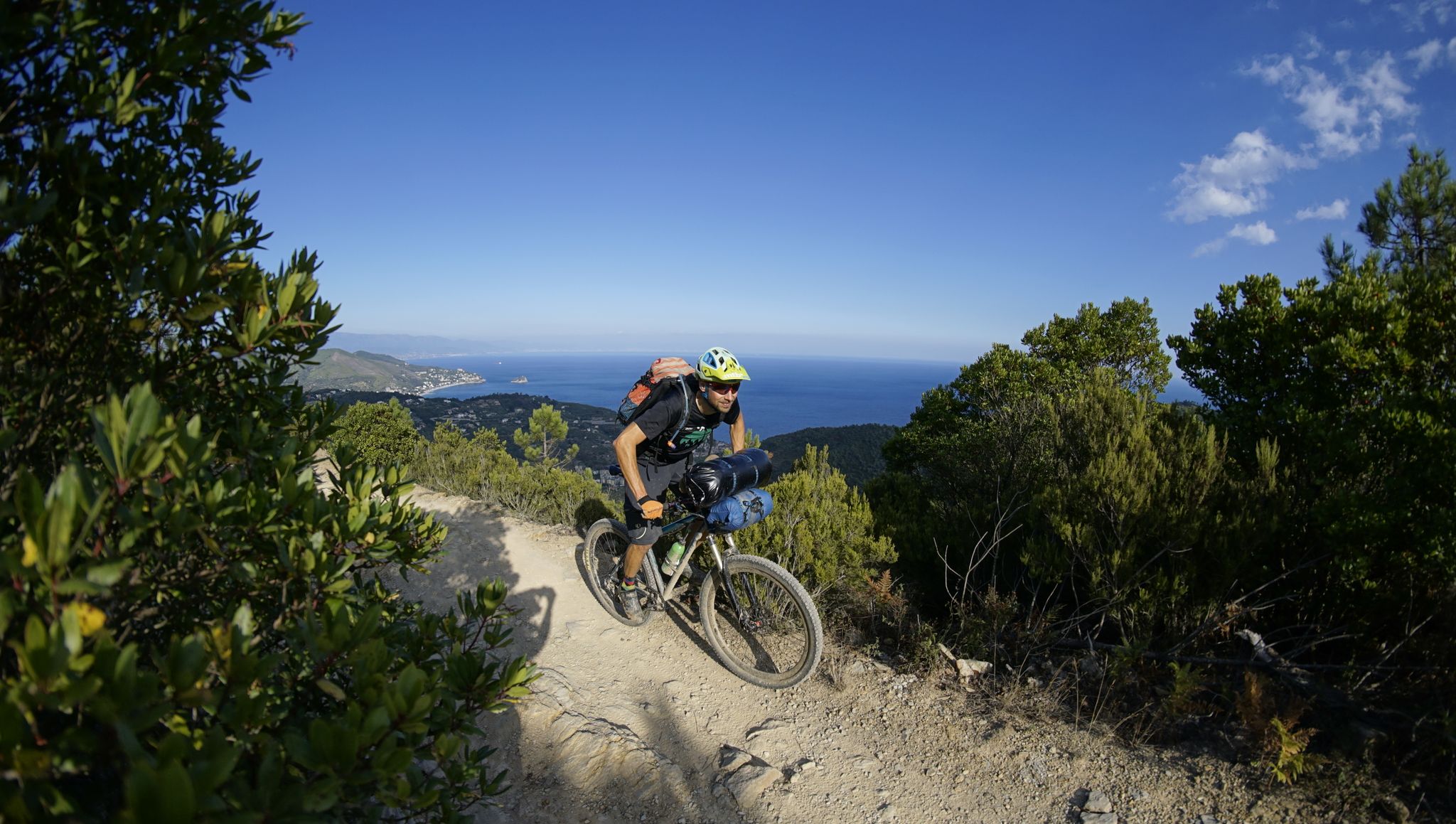
Alta Via Stage Race – Only the brave
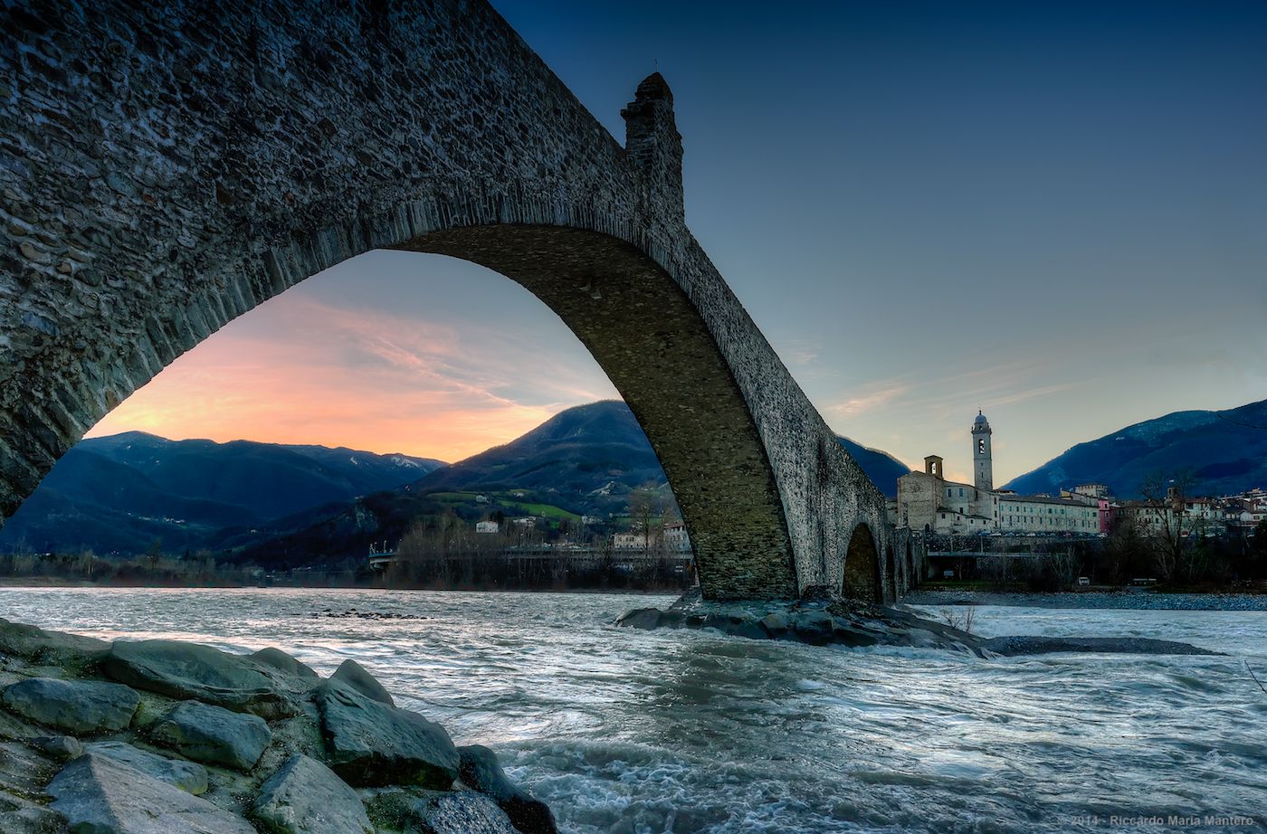
Hike from Milan to the sea – Path of the Celts and Ligurians
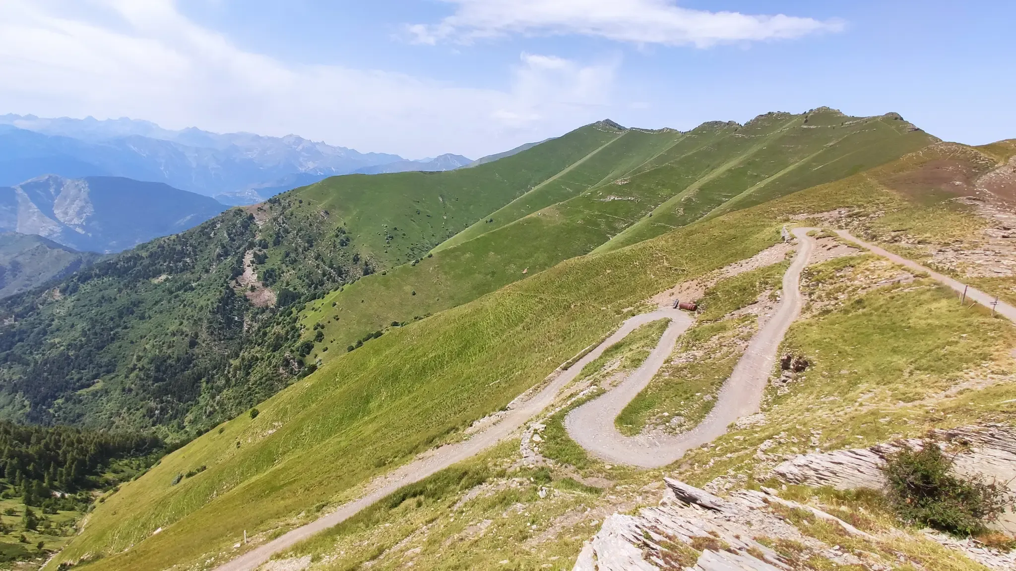
MTB between sky, land and sea – Italy’s Alta Via dei Monti Liguri

Hiking around Parco naturale regionale dell'Aveto
MTB Trails around Parco naturale regionale dell'Aveto
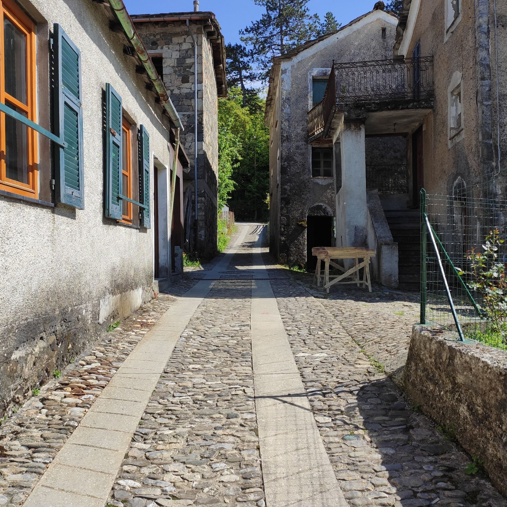
Road Cycling Routes around Parco naturale regionale dell'Aveto
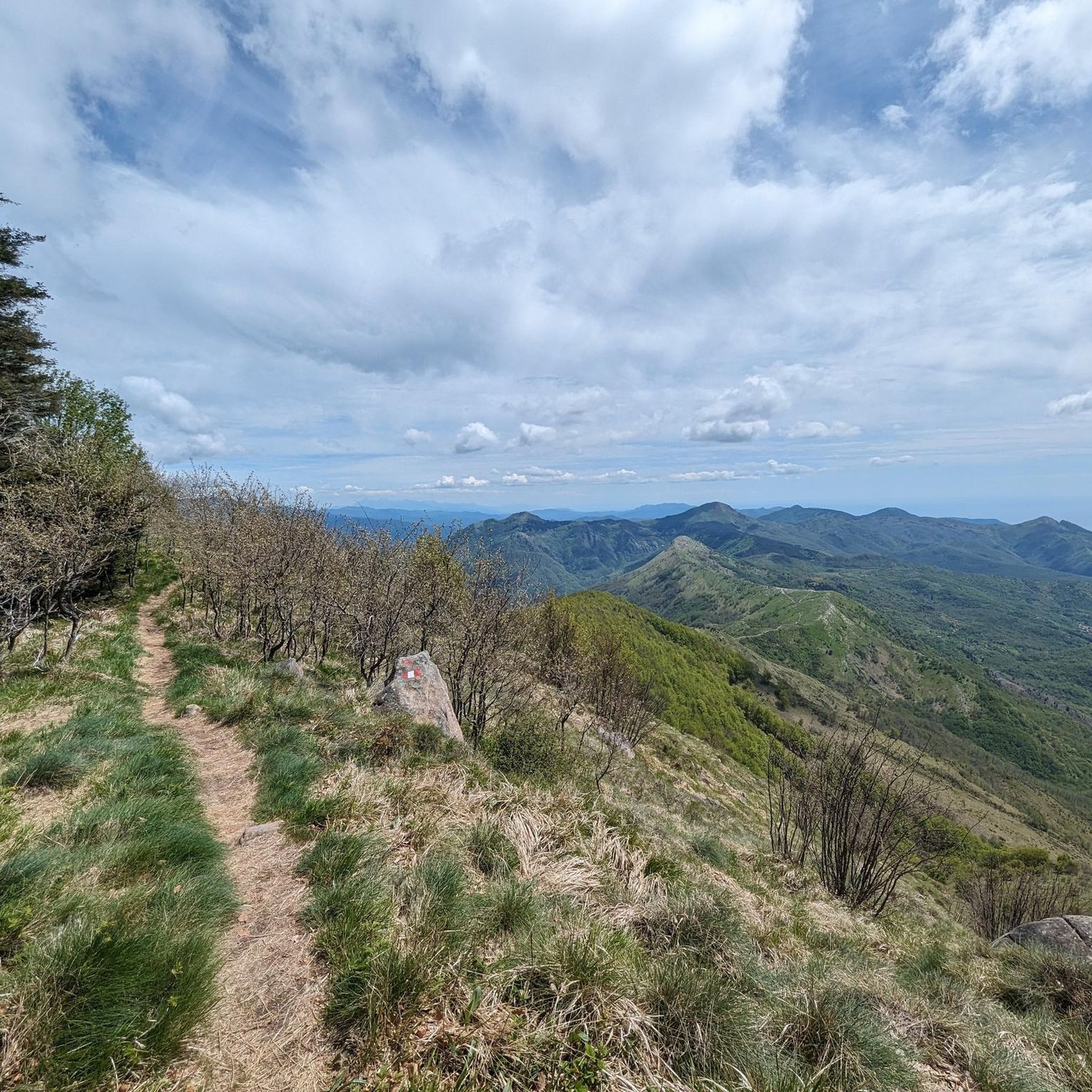
Cycling around Parco naturale regionale dell'Aveto

Gravel biking around Parco naturale regionale dell'Aveto
Other adventures around Parco naturale regionale dell'Aveto


Tips from the Community

From Rifugio Aiona you can enjoy the view of the sea shimmering in the distance! Magical place. In a short time you can reach Pietra Borghese
0
0

It is easily well marked along the forest road.
1
0
Beautiful hiking structure located at 1,400 meters, surrounded by beech trees and positioned on the border with the municipalities of Bedonia and Tornolo for the province of Parma, and Santo Stefano d'Aveto for the metropolitan city of Genoa. Too bad it is never open despite the structure being recent and in good condition.
0
0
Beautiful pass of the Ligurian Apennines located at 1,468 meters. Strategic point that offers various alternatives to start a walk or a long hike.
0
0
Pass of the Ligurian Apennines located at an altitude of 1,452 m, it is reachable by car and is a crossroads where various hiking trails branch off.
0
0
Born from the recovery of old barracks, it is a beautiful refuge where you can both eat and stay overnight. The location is stunning and makes it a must-stop when visiting these areas.
1
0

The Lago di Giacopiane is a charming artificial basin located at 1,015 meters above sea level in the municipality of Borzonasca, within the Aveto Regional Natural Park in Liguria. Built in the 1920s for hydroelectric purposes, the reservoir is famous for being surrounded by dense woods and for hosting herds of wild Aveto horses that graze freely along its shores.
1
0

Frequently Asked Questions
How many running routes are available in Parco naturale regionale dell'Aveto?
Parco naturale regionale dell'Aveto offers a wide selection of running routes, with over 50 trails to explore. These routes cater to various preferences, ranging from easy jogs to more challenging mountain runs.
What kind of terrain can I expect when running in Parco naturale regionale dell'Aveto?
The park features a diverse landscape, from high-mountain areas and extensive woodlands to pristine valleys. You'll encounter beech, chestnut, and conifer forests, open meadows, and crystal-clear streams. The terrain varies from gentle slopes around lakes to more challenging ascents on mountains like Monte Aiona and Monte Penna, providing a rich and varied running experience.
Are there running routes suitable for beginners or families in Parco naturale regionale dell'Aveto?
Yes, the park has routes suitable for different fitness levels. While many trails are more challenging, there are 4 easy routes and 12 moderate routes that are great for beginners or families looking for a less strenuous run. These often include paths around the scenic lakes or through gentler forest sections.
What do other runners enjoy most about jogging in Parco naturale regionale dell'Aveto?
The running routes in Parco naturale regionale dell'Aveto are highly rated by the komoot community, with an average score of 4.6 stars from over 18 reviews. Runners frequently praise the lush forests, clear waters, and stunning mountainous vistas. The extensive network of routes and the opportunity to escape summer heat are also highly valued.
Can I find circular running routes in the park?
Yes, many of the routes in Parco naturale regionale dell'Aveto are designed as loops, offering a convenient way to start and finish your run at the same point. For example, the challenging route Monte Zatta di Levante – Monte Zatta di Ponente loop from Passo del Bocco is a popular circular option that winds through varied terrain.
Are there any scenic lakes to run around in Parco naturale regionale dell'Aveto?
Absolutely! The park is home to beautiful glacial lakes that are perfect for picturesque runs. Lame Lake is a notable example, offering a serene backdrop for a jog. Other scenic lakes include Lago di Giacopiane and Lago degli Abeti, which provide lovely focal points for your route.
What natural landmarks or points of interest can I discover on a run in the park?
You can encounter several striking natural and historical landmarks. Keep an eye out for rocky peaks like Groppo Rosso, known for its pink hue. You might also pass through significant mountain passes such as Incisa Pass or Bocco Pass. The Statue of the Madonna on Monte Penna is another prominent feature, often visible from higher trails.
Are there any waterfalls I can incorporate into my running routes?
Yes, the park features attractive natural waterfalls that can add a refreshing element to your run. The Cascata della Ravezza and Cascate del Barbaira are beautiful natural features that you might encounter, offering picturesque spots to pause and enjoy the scenery.
Is it possible to see unique wildlife while jogging in Parco naturale regionale dell'Aveto?
One of the unique attractions in the park is the presence of wild horses, particularly around the Lago di Giacopiane. These animals roam freely and offer an extraordinary sight for visitors, adding a special touch to your outdoor experience.
What is a good challenging running route for experienced runners?
For experienced runners seeking a challenge, the Rifugio Casermette del Penna – Monte Trevine loop from Monte Penna is a great option. This 5.8-mile (9.3 km) trail leads through mountainous terrain near Monte Penna and is typically completed in about 1 hour and 19 minutes, offering significant elevation changes.
Are there any long-distance running trails in Parco naturale regionale dell'Aveto?
Yes, for those looking for longer runs, the park offers several extended trails. A notable long-distance option is the Passo dell'Incisa loop from Santo Stefano d'Aveto, which spans approximately 17.7 km (11 miles) and involves significant elevation gain, making it a demanding yet rewarding experience.
What is the best time of year for running in Parco naturale regionale dell'Aveto?
Parco naturale regionale dell'Aveto is suitable for running throughout the year, but autumn is particularly captivating due to the vibrant foliage. The park is also known as a great place to escape the summer heat, with fresh mountain air providing a motivating backdrop. Spring offers blooming wildflowers, while winter can provide unique snowy landscapes for those prepared for colder conditions.
Most popular routes around Parco naturale regionale dell'Aveto
Most popular attractions around Parco naturale regionale dell'Aveto

Get inspired with the komoot mobile app


Explore more
Browse the best Running Trails & Routes in other regions.
