The best walks and hikes around Parco dei Monti Aurunci
4.4
(804)
4,224
hikers
36
hikes
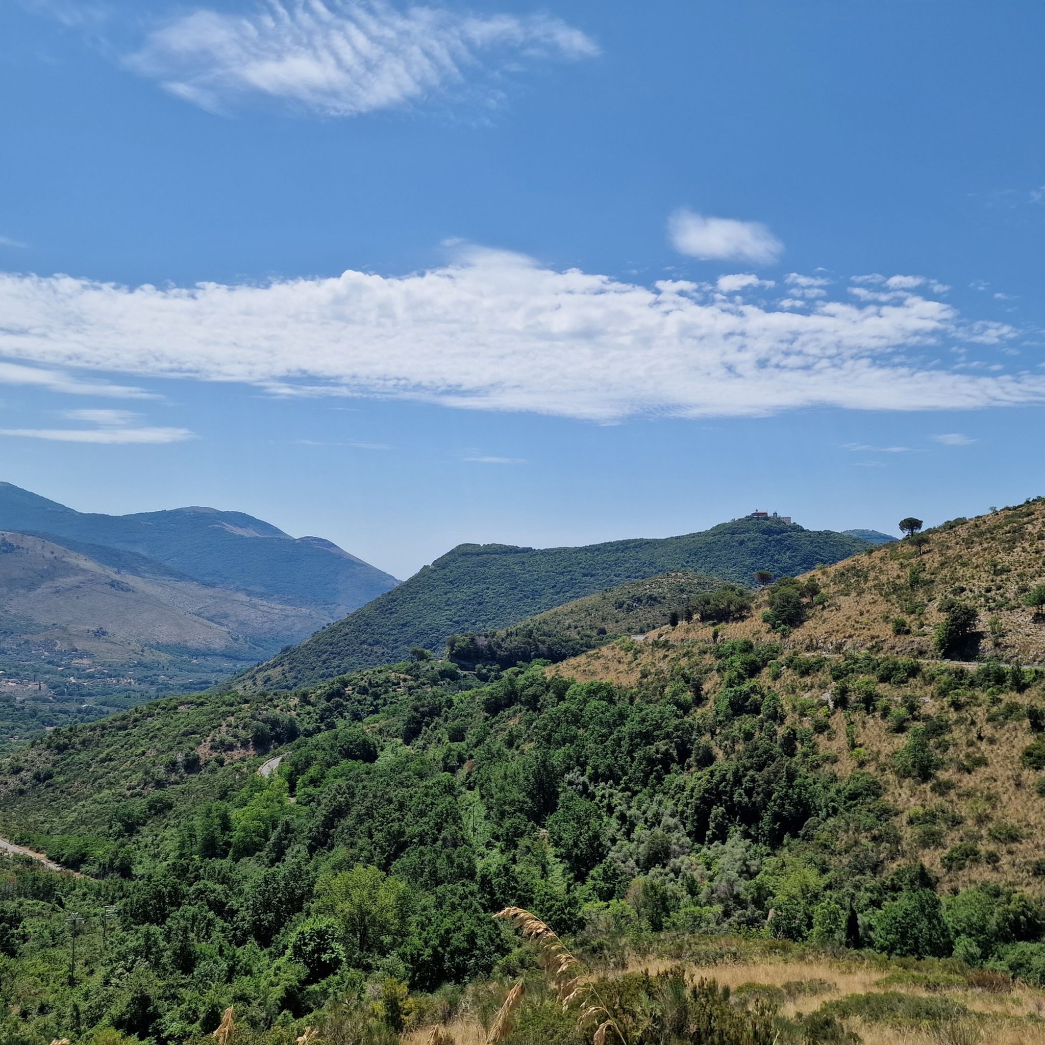
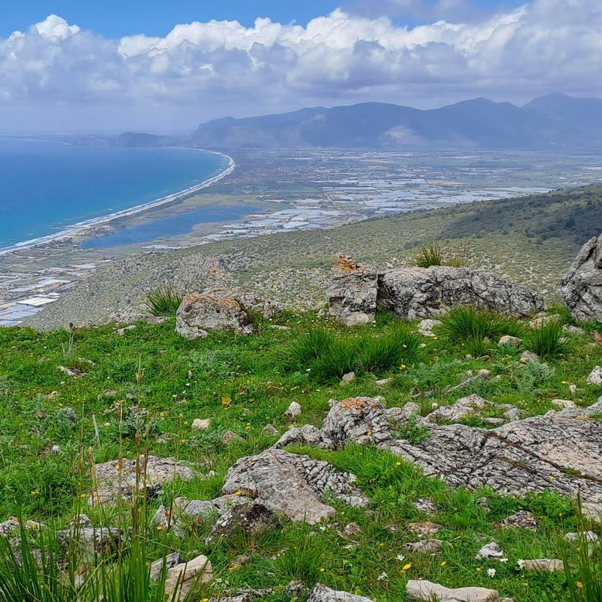
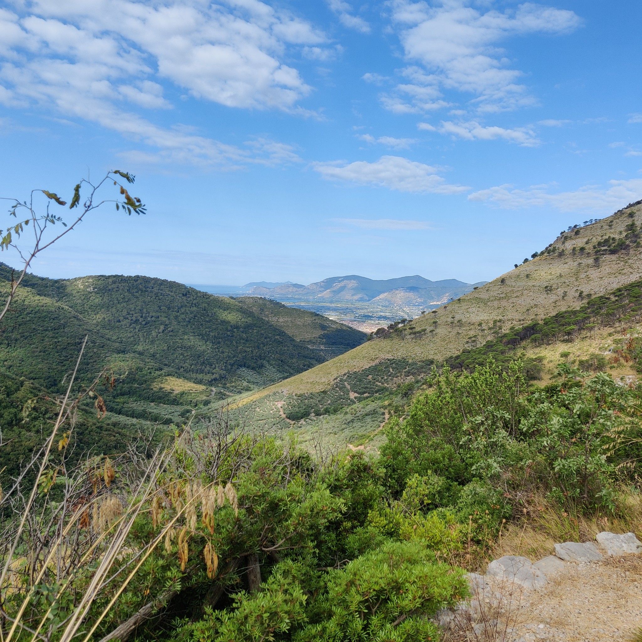
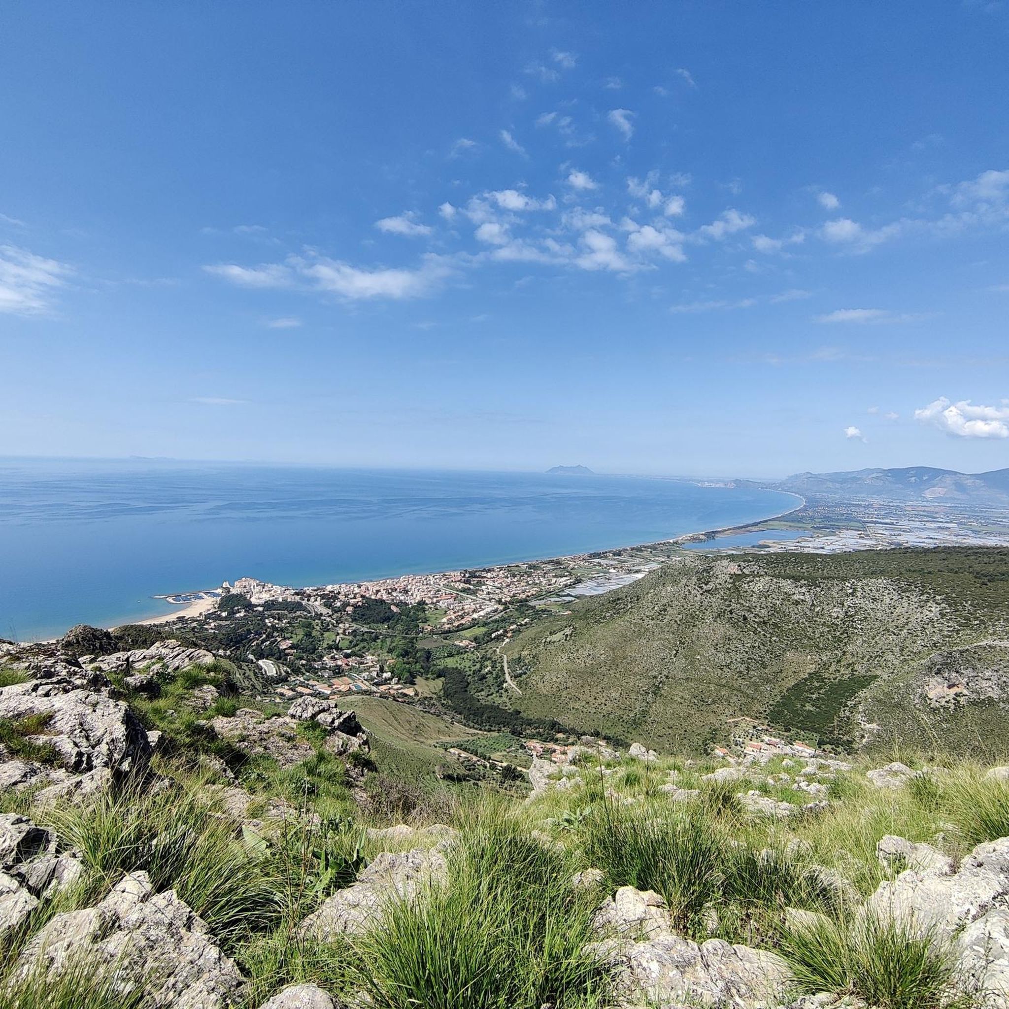
Hiking around Parco dei Monti Aurunci offers a diverse landscape characterized by karst geology, ranging from coastal areas to mountainous peaks. The park features a varied terrain with elevations from approximately 30 meters to 1,533 meters at Monte Petrella. Hikers encounter Mediterranean scrub, holm oak forests, and dense beech forests, providing a range of environments. From higher points, panoramic views of the Tyrrhenian Sea, Pontine Islands, and the Circeo promontory are visible.
Best hiking trails around Parco dei Monti Aurunci
…Last updated: October 10, 2026
4.4
(25)
50
hikers
8.55km
03:01
470m
470m
St. Philip Neri's Way - Stage 5 is a challenging 5.3-mile hike with 1556 feet of gain, leading to Monte Redentore's panoramic views.
4.5
(11)
38
hikers
6.37km
02:35
510m
510m
Hike the moderate 4.0-mile Rifugio Acquaviva - Monte Ruazzo Trail for panoramic views of the Gulf of Gaeta and diverse terrain.

5.0
(1)
11
hikers
8.01km
03:10
620m
620m
Embark on the Selvacava-Monte Fammera Trail, a moderate hike that takes you through varied landscapes, from wooded sections to exposed, rocky terrain. You will follow an ancient mule track, winding…
4.8
(17)
85
hikers
Moderate hike. Good fitness required. Easily-accessible paths. Suitable for all skill levels.
4.8
(79)
328
hikers
Moderate hike. Good fitness required. Easily-accessible paths. Suitable for all skill levels.
Get access to more routes and recommendations from other explorers.
Already have an account?
Our route recommendations are based on thousands of hikes, rides, and runs completed by other people on komoot.
Start today with a free account
Your next adventure awaits.
Tips from the Community

The summit of Redentore (1,253 m) is one of the most striking peaks in the Aurunci Mountains, located in the territory of Formia, famous for the statue of Christ the Redeemer. The summit offers spectacular panoramic views of the Gulf of Gaeta, the Pontine Islands, and the Apennines. The mountain is a destination for hikers and pilgrims, especially due to the famous Hermitage of Saint Michael the Archangel, dating back to the 9th century BC.
0
0
Once at the top of the climb, a wonderful panorama opens up over the valley with a view of Christ the Redeemer.
0
0

Mystical place for contemplation where everything flows slowly amidst the beauty of a church nestled in the rock.
0
0
The climb to the Redentore rewards with a breathtaking panorama of the Gulf of Gaeta
0
0

This saddle is fast and allows you to catch your breath before the last ramps that give access to the monument.
0
0
It's the real reward for all the climbing. The ramps that lead up to the monument are technically challenging. Lower the saddle, put a hard gear and push all the way to the top.
2
0
Challenging until the end where roots and rocks increase the difficulty level but also the technical fun
0
0

Very suggestive place, it is absolutely worth taking a short break to stop and admire the hermitage and the view below. A visit is recommended in the afternoon hours when it is illuminated by the sun.
1
0
Frequently Asked Questions
How many hiking trails are there in Parco dei Monti Aurunci?
Parco dei Monti Aurunci offers a wide selection of hiking opportunities, with over 30 distinct routes available for exploration. These trails cater to various skill levels, including easy walks, moderate ascents, and more challenging treks.
What kind of terrain and landscapes can I expect when hiking in Parco dei Monti Aurunci?
The park's terrain is characterized by its unique karst geology, featuring sinkholes, caves, and rocky formations. You'll encounter diverse landscapes ranging from Mediterranean scrub and holm oak forests on maritime slopes to dense beech forests on cooler northern faces. Higher elevations offer magnificent panoramic views of the Tyrrhenian Sea, the Pontine Islands, and the Circeo promontory.
What are some notable landmarks or attractions to see while hiking in the park?
Hikers can discover several points of interest. A prominent landmark is the Hermitage of St. Michael the Archangel, a church built directly into the rock on Monte Redentore. Other attractions include the Cima del Redentore (Monte Altino), offering breathtaking vistas, and the Rifugio Acquaviva. The park also contains historical sites like the ancient Appian Way and the ruins of Rocca Guglielma.
Are there any easy or beginner-friendly hiking routes in Parco dei Monti Aurunci?
Yes, the park offers several easy routes suitable for beginners. Out of the 30 available trails, 6 are classified as easy, providing accessible options for those new to hiking or looking for a more relaxed experience. These trails allow you to enjoy the park's natural beauty without significant challenge.
What do other hikers enjoy most about the trails in Parco dei Monti Aurunci?
The trails in Parco dei Monti Aurunci are highly regarded by the komoot community, holding an average rating of 4.4 stars from nearly 500 reviews. Hikers frequently praise the diverse terrain, the stunning panoramic views of the Tyrrhenian Sea, and the unique blend of mountainous and coastal scenery.
Are there any long-distance hiking routes in the park?
Yes, for those seeking a more immersive experience, the park features the 'Cammino degli Aurunci.' This long-distance route spans approximately 100 km and is divided into several stages, allowing hikers to explore a significant portion of the park's natural and historical highlights over multiple days.
Can I bring my dog on the hiking trails in Parco dei Monti Aurunci?
Generally, dogs are permitted on trails in Parco dei Monti Aurunci, but it's always advisable to keep them on a leash, especially in areas with wildlife or near other hikers. Always check specific trail regulations or park notices for any restrictions that might apply to certain areas or seasons.
Are there family-friendly hiking options available?
Yes, Parco dei Monti Aurunci offers various trails suitable for families. While specific routes vary in difficulty, many of the easier trails provide a great opportunity for families to enjoy nature together. It's recommended to check individual route descriptions for details on length, elevation, and suitability for children.
What are the highest peaks in Parco dei Monti Aurunci?
The highest peak in the park is Monte Petrella, reaching an elevation of 1,533 meters. Other significant peaks include Monte Redentore, which offers extensive panoramic views, and Mount Ruazzo.
Is there public transport available to reach Parco dei Monti Aurunci trailheads?
Public transport options to specific trailheads within Parco dei Monti Aurunci can be limited. While some towns bordering the park may have bus services, direct access to many trail starting points often requires a car. It's advisable to research local bus schedules and routes in advance or consider carpooling.
Are there circular hiking routes in Parco dei Monti Aurunci?
Yes, many of the trails in Parco dei Monti Aurunci are designed as circular routes, allowing hikers to start and end at the same point without retracing their steps. This provides a varied experience and is convenient for those using personal vehicles. For example, the "Madonna of the Cliffs of Gaeta – Hermitage of St. Michael the Archangel loop" is a popular circular option.
What is the best time of year to go hiking in Parco dei Monti Aurunci?
The park is enjoyable throughout much of the year. Spring (April-June) and autumn (September-October) are particularly pleasant, offering mild temperatures and vibrant natural colors. Spring also brings a bloom of wild orchids. Summer can be hot, especially on exposed trails, while winter offers a different, often quieter, experience, though higher elevations may see snow.
Where can I find information about accommodation or food near the park?
Towns surrounding Parco dei Monti Aurunci, such as Itri, Gaeta, and Sperlonga, offer various accommodation options, from hotels to agriturismi. You'll also find restaurants and cafes serving local cuisine in these areas. For more general information about the region, you can visit Visit Lazio.
Most popular routes around Parco dei Monti Aurunci
Most popular attractions around Parco dei Monti Aurunci

Get inspired with the komoot mobile app


Explore more
Browse the best Hikes in other regions.
