The best road cycling routes around Natural Park Valle del Ticino
4.3
(1678)
37,047
riders
667
rides
Road cycling routes around Natural Park Valle del Ticino traverse a diverse landscape shaped by the Ticino River, which forms Europe's first river park and a UNESCO Man and the Biosphere Reserve. The terrain is predominantly flat, especially along the river and canal systems, making it suitable for various road cycling abilities. The park features extensive riparian forests, wetlands, and traditional agricultural areas like paddy fields and cornfields. This ecological corridor offers a network of well-paved paths, with some segments…
Last updated: November 18, 2026
4.3
(16)
178
riders
69.8km
03:02
470m
470m
Moderate road ride. Good fitness required. Mostly well-paved surfaces and easy to ride.
1
riders
179km
07:12
590m
590m
Hard road ride. Very good fitness required. Mostly well-paved surfaces and easy to ride.

4.3
(15)
601
riders
99.3km
04:35
1,060m
1,060m
Hard road ride. Very good fitness required. Mostly well-paved surfaces and easy to ride.
4.4
(7)
117
riders
36.5km
01:37
250m
250m
Easy road ride. Mostly well-paved surfaces and easy to ride.
4.0
(1)
96
riders
34.5km
01:37
240m
240m
Moderate road ride. Some segments of this route may be unpaved and difficult to ride.
Get access to more routes and recommendations from other explorers.
Already have an account?
Our route recommendations are based on thousands of hikes, rides, and runs completed by other people on komoot.
Start today with a free account
Your next adventure awaits.
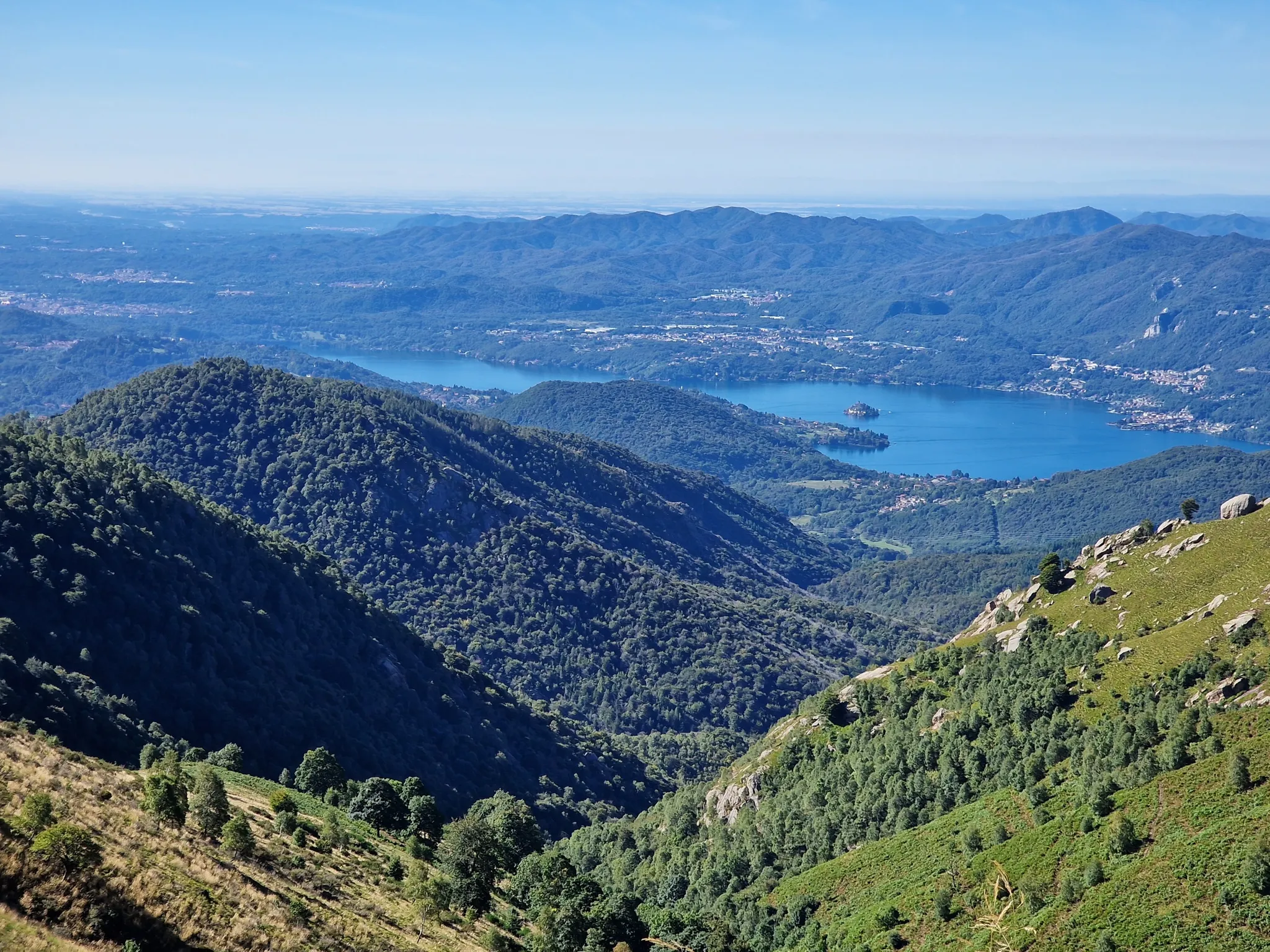
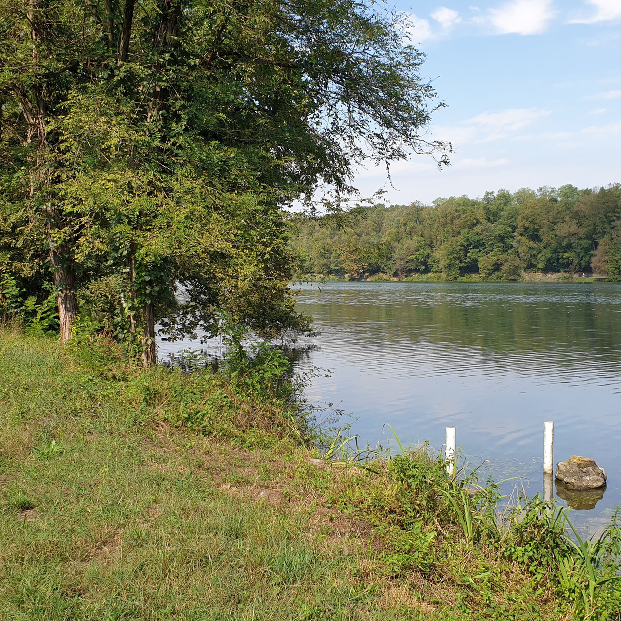
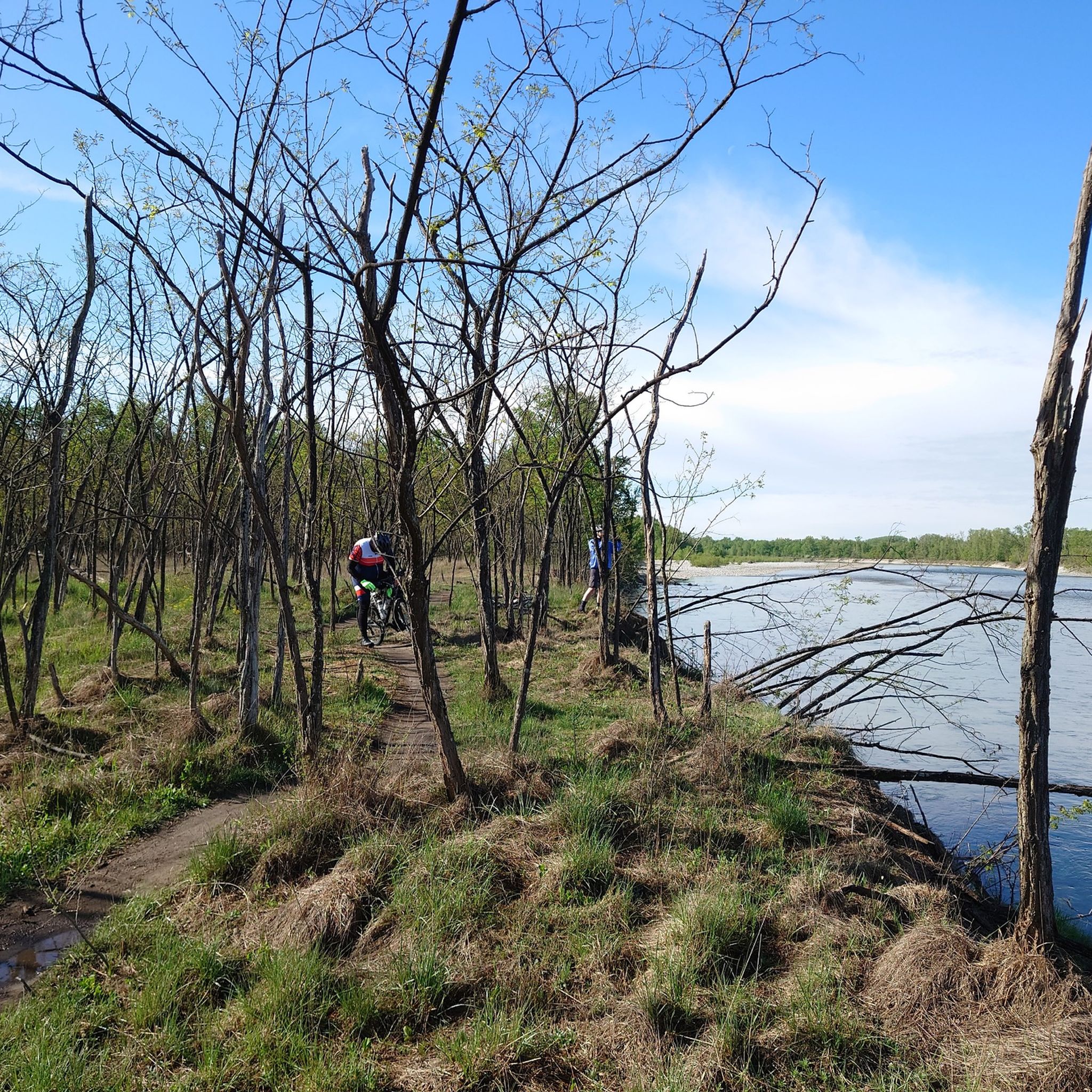
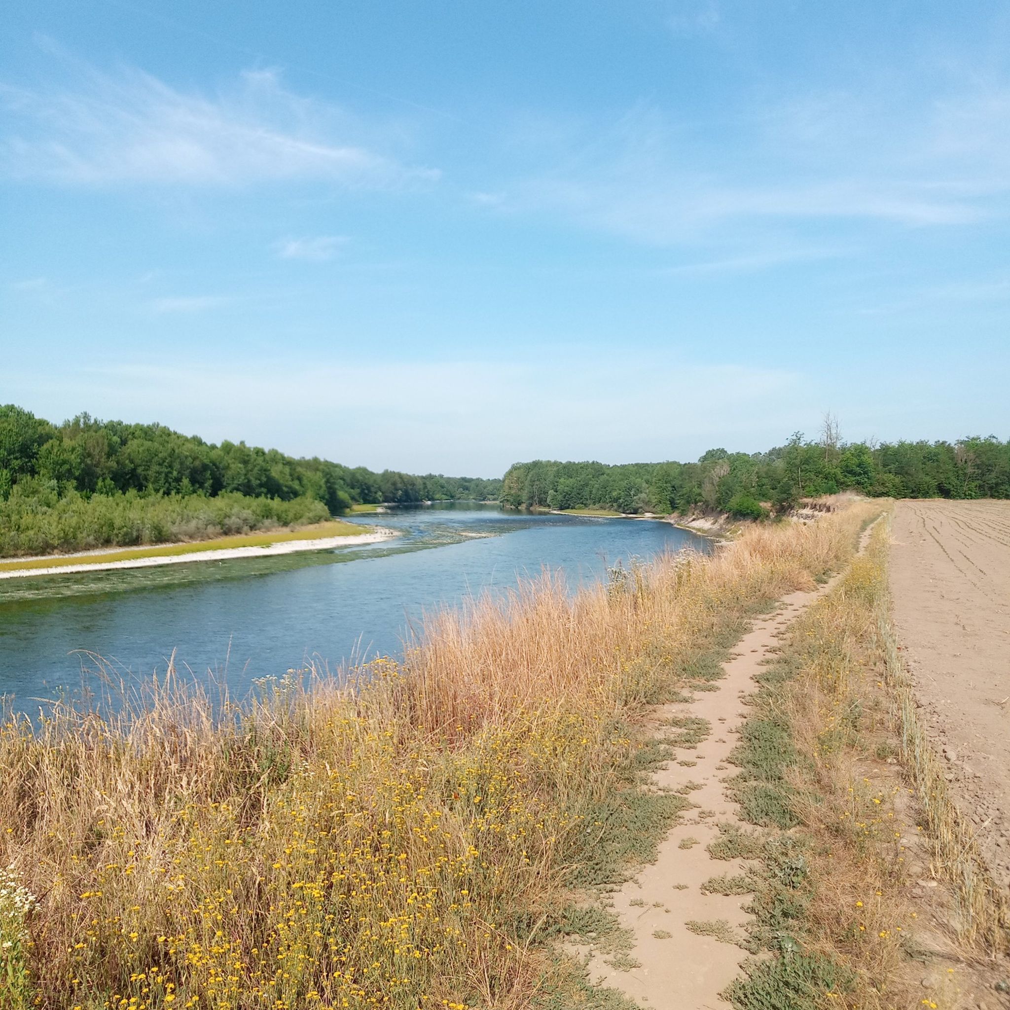

Other adventures around Natural Park Valle del Ticino

Tips from the Community

The Ticino River is one of the most important waterways in northern Italy and southern Switzerland. It is the main tributary of the Po River by water volume and the second Italian river by average discharge. It measures a total of 248 km and is considered one of the healthiest and best-preserved rivers in Italy from an ecological point of view.
0
0
The best-known and most appreciated road and riverside walk along the Ticino is in Sesto Calende, winding for about 3.5 kilometers from the Ponte di Ferro to Golasecca.
0
0
The Sesto Calende riverside walk winds along the banks of the Ticino river at the exact point where the waters of Lake Maggiore leave the basin to continue their course.
0
0
The Ticino river cycle path offers one of the most evocative panoramic points to admire Sesto Calende, the river waters, and the majestic Monte Rosa chain in the background
1
0
The Monument to the jet of the Cameri Air Base is an installation located at the entrance of the military airport (headquarters of FACO F-35 Leonardo and NATO base Juragentium). The square is characterized by the presence of a historic F-104 Starfighter fighter-bomber with "Tiger" Clipper livery. Cameri Airport (NO) boasts a long Komoot tradition, having been founded in 1910 as one of the first flight schools in Italy Facebook. At the base, there is also an outdoor museum area with historic aircraft, and sometimes guided tours or open days of the Aeronautica Militare are planned.
0
0

L'Alzaia del Naviglio di Bereguardo is the historic towpath, today transformed into a splendid cycle-pedestrian path of about 19 kilometers, which runs along the artificial canal of the same name. It connects Castelletto di Abbiategrasso (where the canal originates, branching off from the Naviglio Grande) to the municipality of Bereguardo, finally flowing into the Ticino river. Built in the 15th century at the behest of the Dukes of Milan (the Visconti first, then the Sforza), the canal served as a fundamental commercial route (particularly for salt and cheeses) to connect the city to the Po river and the sea.
2
0

Splendid little town on the Piedmontese side of Lake Maggiore.
0
0
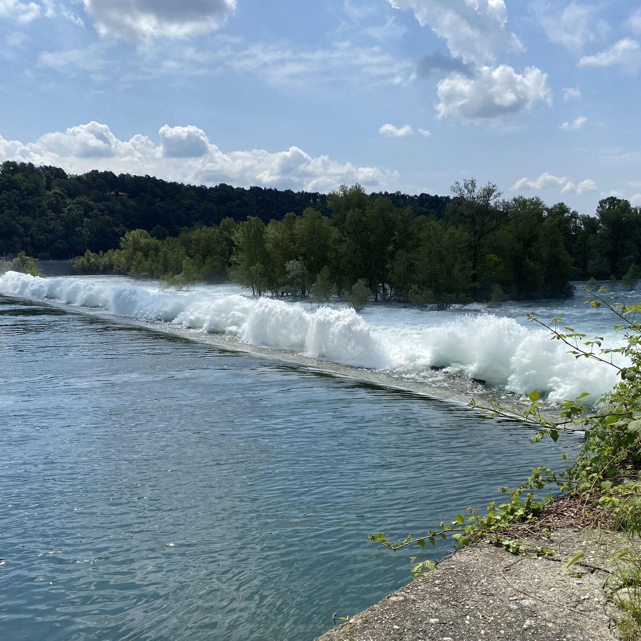
The unique name "Panperduto" derives mainly from the local dialect and ancient stories related to river navigation before the construction of the dam. In the past, commercial barges carrying goods or stones often collided with the rapids and rocky riverbeds of this stretch of the river, ending up capsizing and losing their entire cargo. This meant the loss of the entire day's work and the earnings needed to buy food, hence the saying "we lost the bread" (hence Panperduto).
0
0
Frequently Asked Questions
What kind of terrain can I expect when road cycling in Natural Park Valle del Ticino?
The Natural Park Valle del Ticino is characterized by predominantly flat terrain, especially along the Ticino River and its extensive canal systems. This makes it suitable for various road cycling abilities. While most paths are well-paved, some segments might be unpaved, offering a mix of surfaces.
Are there road cycling routes suitable for beginners or those seeking an easier ride?
Yes, the park offers many routes with minimal elevation gain, perfect for beginners or those looking for a relaxed ride. Out of over 700 routes, 212 are classified as easy. For example, the route Castelnovate power plant – Binda Bike Bar loop from Castelnovate is a moderate 28 km ride with low elevation.
What are some of the longer or more challenging road cycling routes in the area?
For experienced cyclists seeking a challenge, the park features longer routes that can take a full day to complete. A notable difficult route is the Gran Tour del Parco Ticino da Sesto Calende a Pavia − giro ad anello, which spans over 179 km and showcases a significant portion of the park's varied landscape.
Can I find circular road cycling routes in Natural Park Valle del Ticino?
Yes, many road cycling routes in the Natural Park Valle del Ticino are designed as loops, allowing you to start and end at the same point. An excellent example is the Tour of the Ticino Park between Oleggio, Bellinzago and Sesto Calende − loop tour, a 69.8 km route that comprehensively explores the heart of the river park.
What natural features or landmarks can I see along the road cycling routes?
The park is rich in natural beauty and historical sites. You can cycle past the Ticino River, extensive riparian forests, and traditional agricultural landscapes including paddy fields. Notable landmarks include the Panperduto Dam, the Iron Bridge over the Ticino River, and various castles like those in Vigevano and Pavia. You might also encounter highlights such as the Cameri viewpoint or the tranquil Pelobates Fuscus Pond 🐥.
Is Natural Park Valle del Ticino suitable for family-friendly road cycling?
Absolutely. The park's generally flat terrain, especially along the river and canal systems, makes it ideal for family-friendly road cycling. Many routes are moderate and can be enjoyed by cyclists of varying ages and abilities. Shorter scenic rides around Lake Comabbio, such as the Water lilies at Lake Comabbio – View of Lake Monate loop from Sesto Calende, are popular choices.
What is the best time of year for road cycling in Natural Park Valle del Ticino?
The park is enjoyable for road cycling for much of the year. Spring and autumn generally offer the most pleasant temperatures and beautiful scenery, with lush greenery in spring and vibrant colors in autumn. Summer can be warm, but routes along the river offer shade. Winter cycling is possible, though conditions may vary.
Are there any specific parking areas for cyclists near the road cycling routes?
While specific designated cyclist parking areas are not explicitly detailed, many towns and villages within and around the Natural Park Valle del Ticino offer public parking facilities. It's advisable to check local parking options in starting points like Sesto Calende, Oleggio, or Bellinzago Novarese.
Can I access the road cycling routes using public transport with my bike?
The Natural Park Valle del Ticino is accessible by public transport, and some regional train lines and buses may allow bikes, though policies can vary. It's recommended to check with local transport providers like Trenord for specific routes and bike carriage rules, especially during peak times, to plan your journey effectively.
Do I need a permit to cycle in Natural Park Valle del Ticino?
Generally, no specific permit is required for recreational road cycling on the established paths and roads within Natural Park Valle del Ticino. As a public park, it encourages outdoor activities. However, always respect local regulations and signage, especially in protected or private areas.
What do other road cyclists enjoy most about road cycling in Natural Park Valle del Ticino?
The area is highly rated by the komoot community, with an average score of 4.4 stars from over 1,300 reviews. Reviewers often praise the diverse landscape shaped by the Ticino River, the extensive network of well-maintained paths, and the opportunity to explore both natural beauty and historical sites. The relatively flat terrain is also frequently highlighted as a positive aspect.
Are there places to stop for refreshments or accommodation along the routes?
Yes, the towns and villages scattered throughout the Natural Park Valle del Ticino offer various options for cafes, restaurants, and accommodation. You'll find places to refuel and rest in locations like Sesto Calende, Oleggio, Bellinzago Novarese, and Pavia, ensuring you have amenities available during your ride.
Most popular routes around Natural Park Valle del Ticino
Most popular attractions around Natural Park Valle del Ticino

Get inspired with the komoot mobile app


Explore more
Browse the best Road cycling routes in other regions.
