The best running trails around Parco Regionale Naturale dei Monti Lucretili
4.3
(14)
770
runners
22
runs
Jogging around Parco Regionale Naturale dei Monti Lucretili offers diverse terrain across its 18,000 hectares, characterized by a pre-Apennine calcareous ridge. The landscape features a blend of mountain peaks, extensive forests, and karst plateaus, providing varied environments for running. Trails traverse altitudes from cultivated orchards to mixed deciduous and beech forests, with higher elevations leading to meadows. This natural park provides a rich setting for trail running and jogging.
Best jogging routes around Parco Regionale Naturale dei Monti Lucretili
- The…
Last updated: August 4, 2026
4.2
(5)
139
runners
Hard run. Very good fitness required. Mostly paved surfaces. Suitable for all skill levels.
108
runners
18.7km
03:00
1,160m
1,160m
Hard run. Very good fitness required. Sure-footedness, sturdy shoes and alpine experience required.

Sign up for free
5.0
(2)
155
runners
24.9km
04:33
1,920m
1,920m
Hard run. Very good fitness required. Sure-footedness, sturdy shoes and alpine experience required.
24
runners
13.7km
02:40
1,090m
1,090m
Hard run. Very good fitness required. Sure-footedness, sturdy shoes and alpine experience required.
21
runners
7.33km
01:17
530m
530m
Hard run. Very good fitness required. Mostly paved surfaces. Suitable for all skill levels.
Get access to more routes and recommendations from other explorers.
Sign up for free
Already have an account?
Our route recommendations are based on thousands of hikes, rides, and runs completed by other people on komoot.
Start today with a free account
Your next adventure awaits.
Login or Signup
Popular around Parco Regionale Naturale dei Monti Lucretili
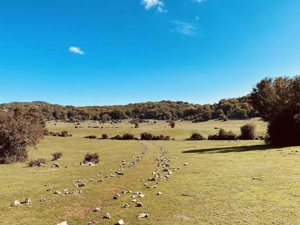
The ice mountain – hikes in Italy’s Lucretili Mountains
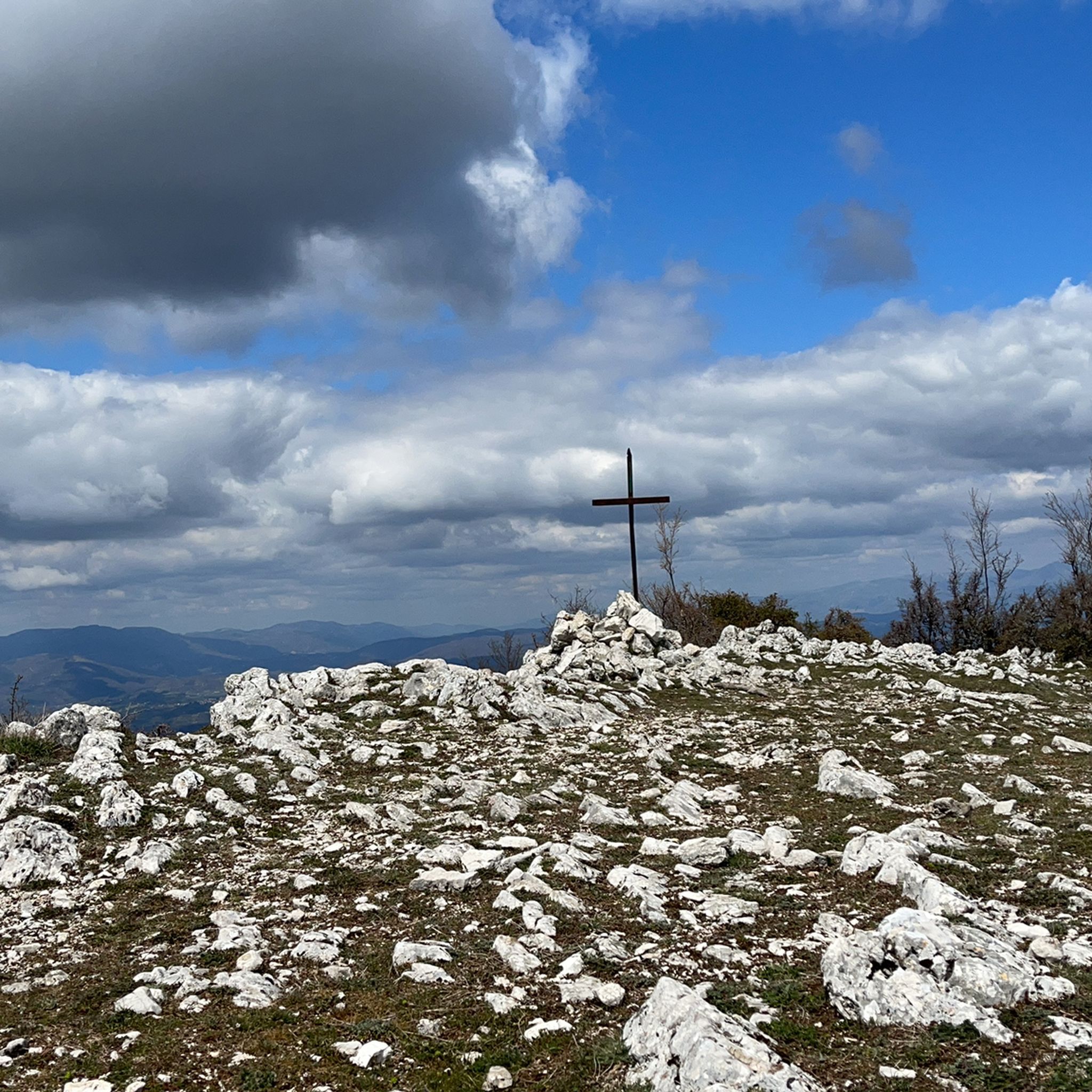
Hiking around Parco Regionale Naturale dei Monti Lucretili
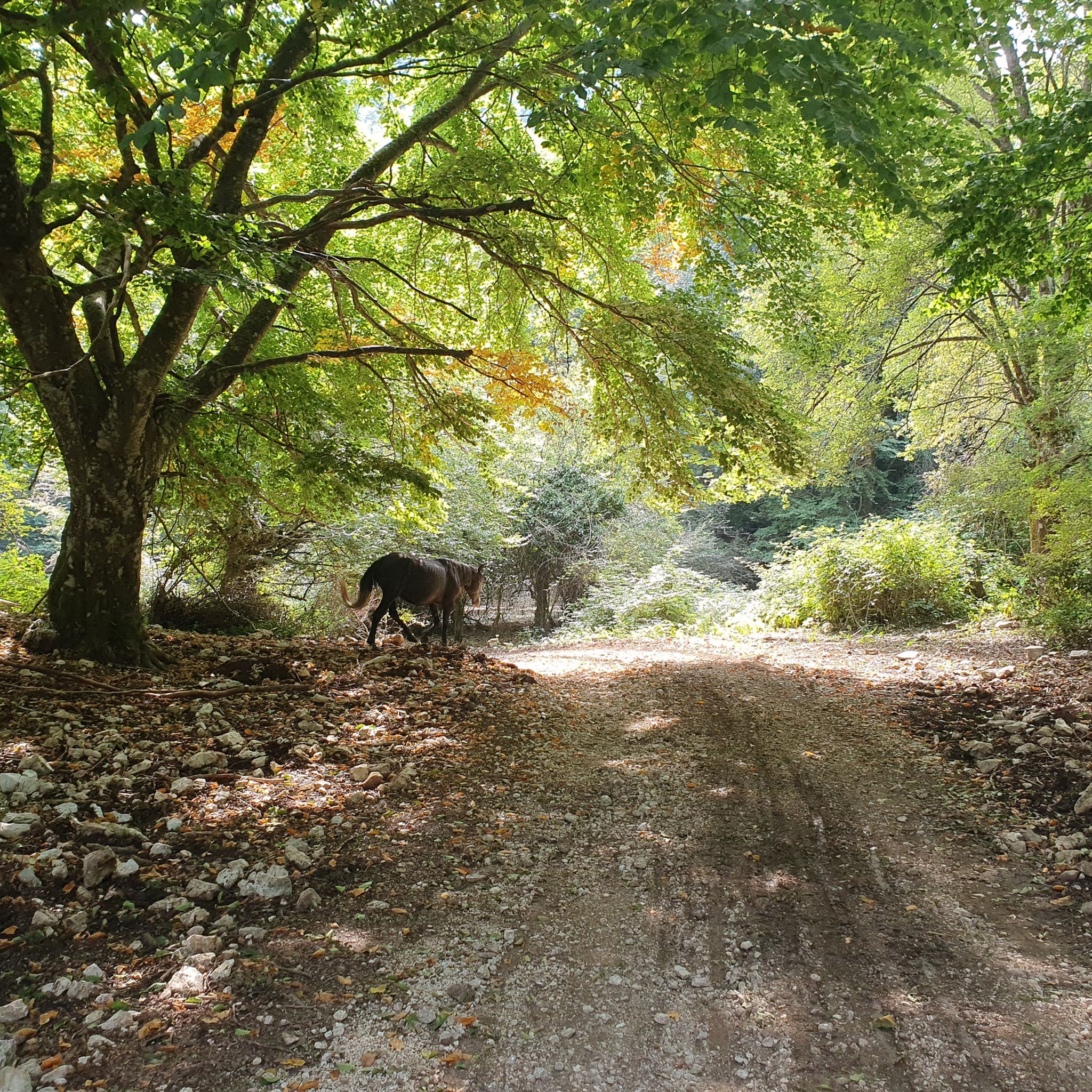
MTB Trails around Parco Regionale Naturale dei Monti Lucretili
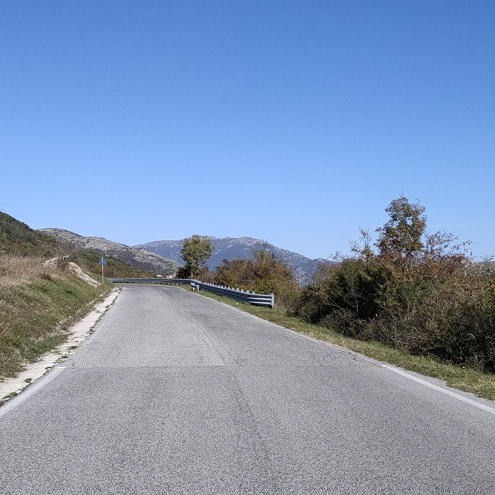
Road Cycling Routes around Parco Regionale Naturale dei Monti Lucretili
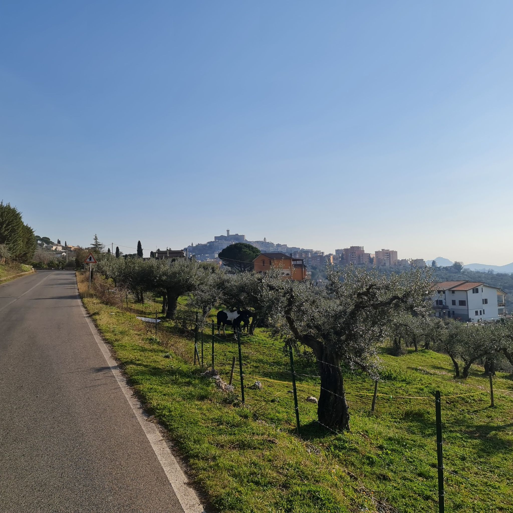
Cycling around Parco Regionale Naturale dei Monti Lucretili

Gravel biking around Parco Regionale Naturale dei Monti Lucretili
Other adventures around Parco Regionale Naturale dei Monti Lucretili

Tips from the Community

Flat spot before the ascent of Monte Gennaro
0
0

Suggestive to say the least, very low grass and populated by cows and horses. An excellent refreshment point before the summit!
0
1
Pratone landmark. Unfortunately for the conditions in which it concerns, full of manure and plastic.
0
0
Visible from miles away, and far from ancient, it represents one of the symbols of the mountain. For the more athletic and risk-takers there is also an iron staircase planted inside which would allow you to climb to the top of the tower. It is strongly not recommended judging by the stability of the structure.
0
0

More than a trail marker, this ancient beech tree is a timepiece! Perhaps this is why some of its protruding roots protect a small improvised nativity scene. The "troscia" indicates the puddle of water that you come across on the path just south of the beech tree.
0
0
Large grassy clearing of karst nature, one kilometer long and about 500 meters wide. For hundreds of years it has been the destination of the transhumance of local shepherds. Today you can admire horses and cows grazing in the wild.
1
0

Very pleasant excursion, the only part that can present difficulties is the stony ground before reaching the top
0
0

Fantastic panorama over the whole landscape
0
0
Frequently Asked Questions
How many running routes are available in Parco Regionale Naturale dei Monti Lucretili?
The park offers over 20 dedicated running routes. While most are considered difficult, there are a few moderate options available, catering to various fitness levels.
What kind of terrain can I expect on the running trails in Monti Lucretili?
The Monti Lucretili region features a diverse landscape, from cultivated orchards and olive groves at lower altitudes to mixed Mediterranean and Balkan woodlands, and higher up, mixed deciduous and beech forests. You'll encounter mountain peaks, extensive forests, and karst plateaus, providing a varied and engaging experience for trail runners.
Are there challenging running trails for experienced runners in the park?
Absolutely. The majority of running routes in Parco Regionale Naturale dei Monti Lucretili are rated as difficult, featuring significant elevation gains and mountainous terrain. For example, the Monte le Ferule – Colle dei Ciociari loop from Palombara Sabina is a demanding 20 km trail with over 1200 meters of ascent.
Can I find circular running routes in Parco Regionale Naturale dei Monti Lucretili?
Yes, many of the running paths in the park are circular, allowing you to start and finish at the same point. This is convenient for planning your run. An example is the Monte Gennaro – Rifugio M. Gennaro loop from Marcellina, which offers a rewarding circular experience.
What natural attractions or viewpoints can I see along the jogging routes?
The park is rich in natural beauty. Along your runs, you might encounter stunning viewpoints like Pizzo Pellecchia or the expansive Monte Gennaro Meadow. There are also serene spots like the Lagustelli di Percile, offering picturesque natural scenery.
Is Parco Regionale Naturale dei Monti Lucretili suitable for family-friendly running or walks?
While many routes are challenging, the park's diverse environment means there are also easier sections and wider paths that can be suitable for families looking for a less strenuous jog or walk. It's advisable to check individual route details for difficulty and length to find the best fit for your family.
Are dogs allowed on the running trails in Monti Lucretili?
Generally, dogs are permitted in Italian regional parks, often on a leash. However, specific regulations can vary. It's always best to check the official park website or local signage for the most current rules regarding dogs on trails within Parco Regionale Naturale dei Monti Lucretili to ensure a pleasant experience for everyone.
What is the best season for jogging in Parco Regionale Naturale dei Monti Lucretili?
The park's varied ecosystems make it enjoyable across seasons. Spring and autumn offer pleasant temperatures and vibrant foliage, while summer mornings can be ideal for higher-altitude runs. Winter running is also possible, but be prepared for colder conditions and potentially snow at higher elevations.
Are there any historical or cultural landmarks to discover while running?
Yes, the park has a rich history. Beyond its natural beauty, you can find traces of human interaction with the landscape dating back to Palaeolithic times, Roman settlements, and medieval periods. Keep an eye out for structures like the Monte Gennaro Tower or the Mural of the Marcellina Gold Mine, which add a cultural dimension to your run.
What do other runners enjoy most about jogging in Parco Regionale Naturale dei Monti Lucretili?
The area is highly rated by the komoot community, with an average score of 4.3 stars. Reviewers often praise the stunning mountain and forest scenery, the extensive network of well-signposted trails, and the diverse ecosystems that make each run unique. The sense of being in a wild, unspoiled environment so close to Rome is frequently highlighted.
Is parking available near the trailheads in Monti Lucretili?
Yes, parking is generally available near the main access points and trailheads, especially in towns like Palombara Sabina and Marcellina, which serve as common starting points for many routes. It's advisable to check specific route descriptions for detailed parking information.
Can I access the running trails using public transport?
While less direct than driving, some areas of the park are accessible via public transport, particularly from towns bordering the park. You may need to combine train and bus services to reach certain starting points. Planning your journey in advance is recommended if relying on public transport.
Most popular routes around Parco Regionale Naturale dei Monti Lucretili
Most popular attractions around Parco Regionale Naturale dei Monti Lucretili

Get inspired with the komoot mobile app


Explore more
Browse the best Running Trails & Routes in other regions.
