Parch Natural Pöz-Odles - Naturpark Puez-Geisler - Parco Naturale Puez-Odle
Parch Natural Pöz-Odles - Naturpark Puez-Geisler - Parco Naturale Puez-Odle
The best walks and hikes around Parch Natural Pöz-Odles - Naturpark Puez-Geisler - Parco Naturale Puez-Odle
4.6
(57710)
316,575
hikers
94
hikes
Hiking around Parch Natural Pöz-Odles - Naturpark Puez-Geisler - Parco Naturale Puez-Odle traverses the Dolomites, a UNESCO World Heritage site in South Tyrol, Italy. The region is characterized by jagged mountain peaks, extensive high plateaus, and lush alpine pastures. Diverse terrain includes forests, scree slopes, and karstic highlands, shaped by geological processes. Water features like Lake Crespeina add to the varied landscape.
Best hiking trails around Parch Natural Pöz-Odles - Naturpark Puez-Geisler - Parco Naturale Puez-Odle
- The most popular hiking…
Last updated: August 3, 2026
4.9
(1459)
5,788
hikers
9.69km
03:24
460m
450m
Embark on the Adolf Munkel Trail for a memorable hike through the Puez-Odle Nature Park. This moderate route guides you through serene stone pine and spruce forests, eventually revealing expansive…
4.9
(1332)
6,195
hikers
14.7km
05:21
680m
680m
Embark on the challenging Hike around Sasso Putia - Ring tour, a difficult 9.1-mile (14.7 km) loop that takes approximately 5 hours and 20 minutes to complete. You will gain…

Sign up for free
4.9
(1268)
5,717
hikers
13.3km
04:39
570m
580m
Embark on the Peitlerkofel Circuit Trail, a moderate hike that takes you through a captivating mix of alpine pastures, fragrant spruce forests, and rocky sections. As you traverse the route,…
4.9
(1023)
3,761
hikers
8.12km
02:50
390m
390m
Embark on a moderate hike along the Adolf Munkel Trail, a 5.0-mile (8.1 km) route that offers stunning views of the jagged Geisler peaks. You'll gain about 1275 feet (389…
4.7
(248)
1,497
hikers
7.42km
02:09
190m
190m
Moderate hike. Good fitness required. Easily-accessible paths. Suitable for all skill levels.
Get access to more routes and recommendations from other explorers.
Sign up for free
Already have an account?
Our route recommendations are based on thousands of hikes, rides, and runs completed by other people on komoot.
Start today with a free account
Your next adventure awaits.
Login or Signup
Popular around Parch Natural Pöz-Odles - Naturpark Puez-Geisler - Parco Naturale Puez-Odle
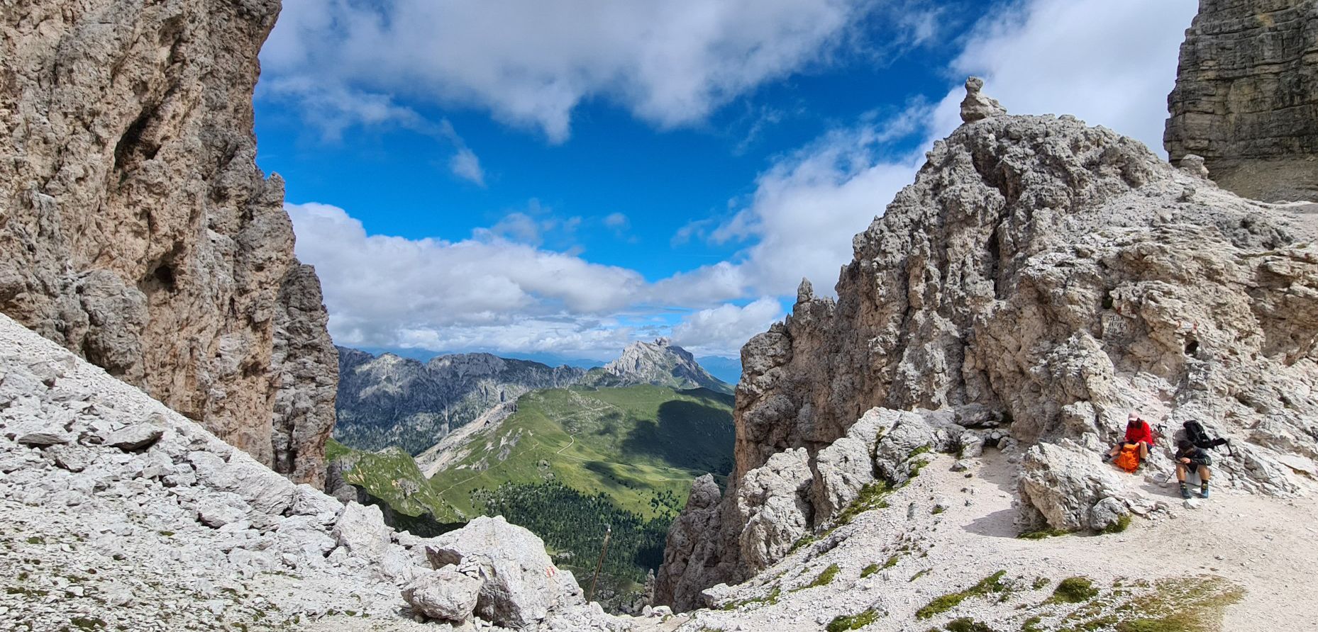
Puez-Odle Nature Park – Hike the Italian Dolomites
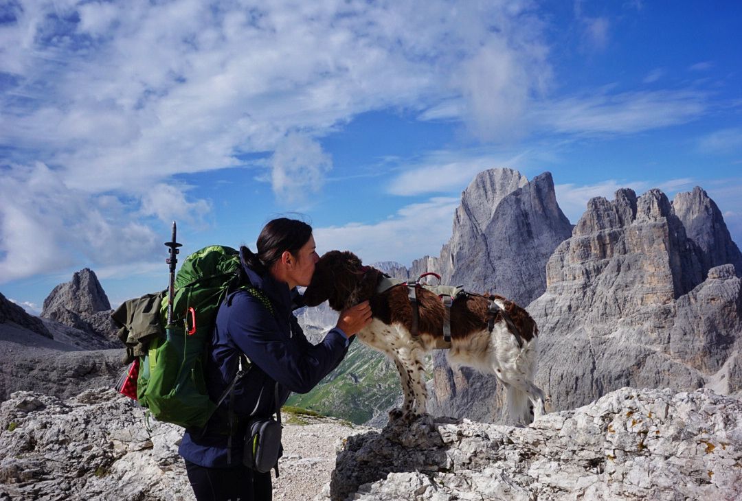
The extra-large Dolomites round – an out-of-this-world hiking adventure

Via Venezia Alpina – hiking across the Alps to the Adriatic Sea

The "Dream Path" hiking trail – From Munich to Venice in 28 stages
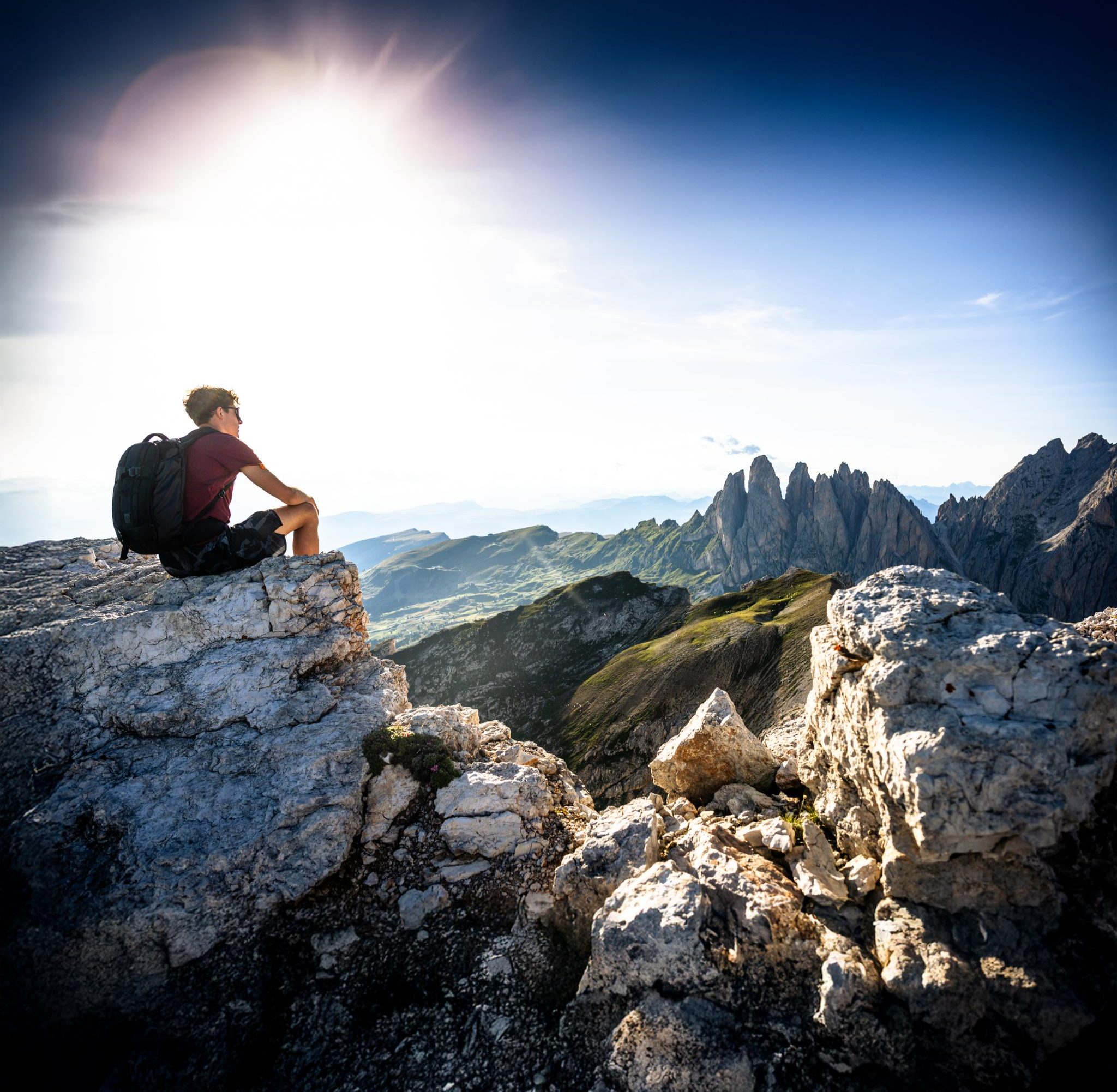
Secret Dolomites – spring hiking in Val Gardena
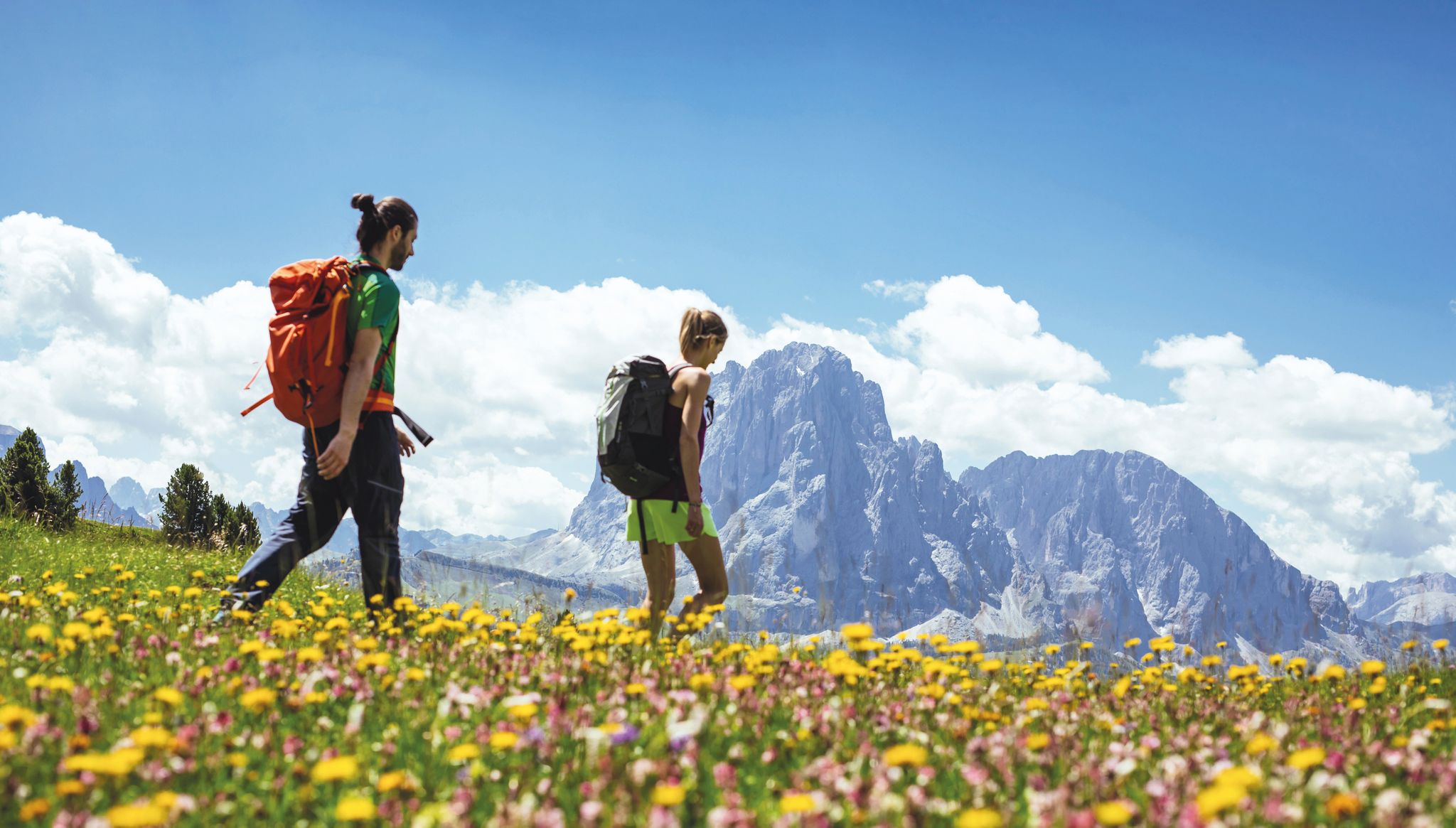
Hiking in Val Gardena – Dolomites
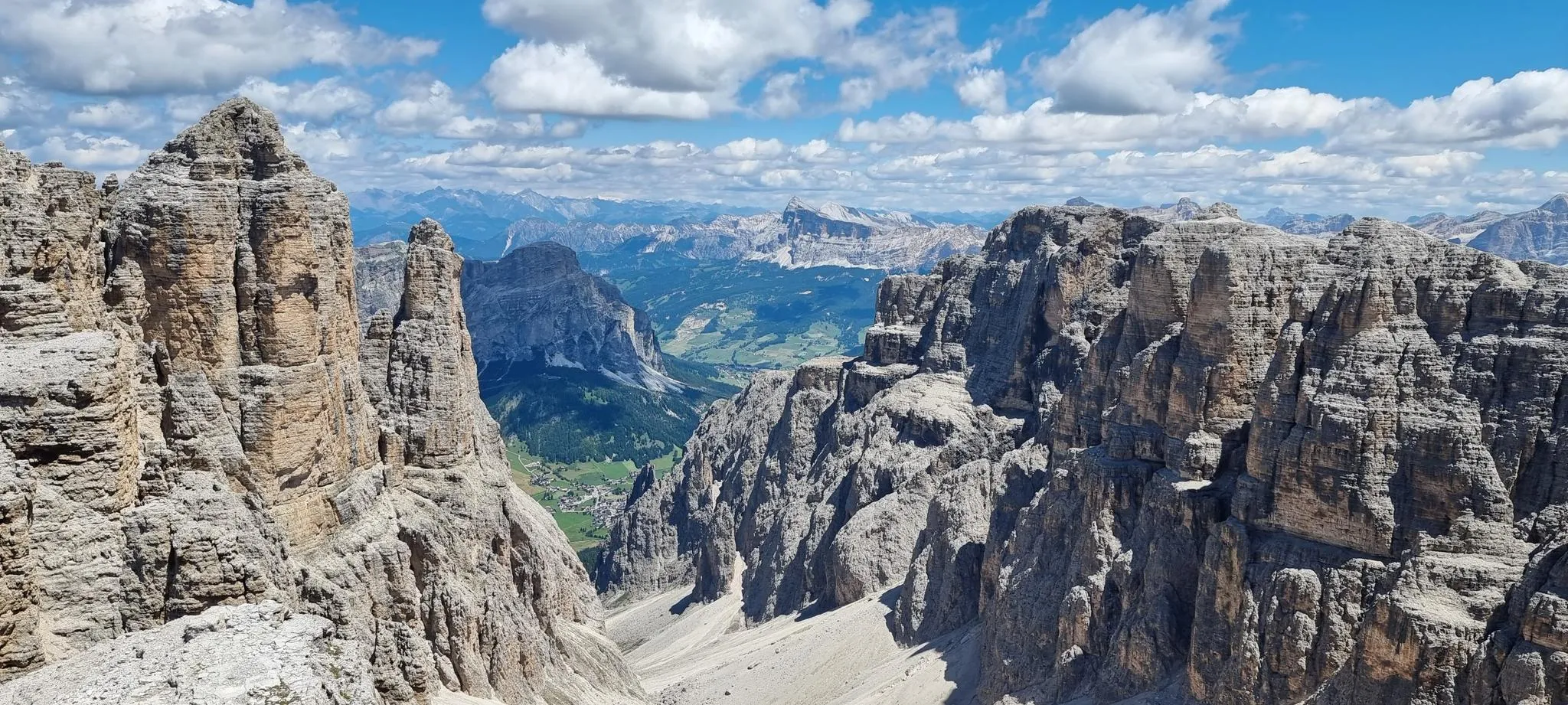
In the wake of legends – the Alta Via 2 of the Dolomites
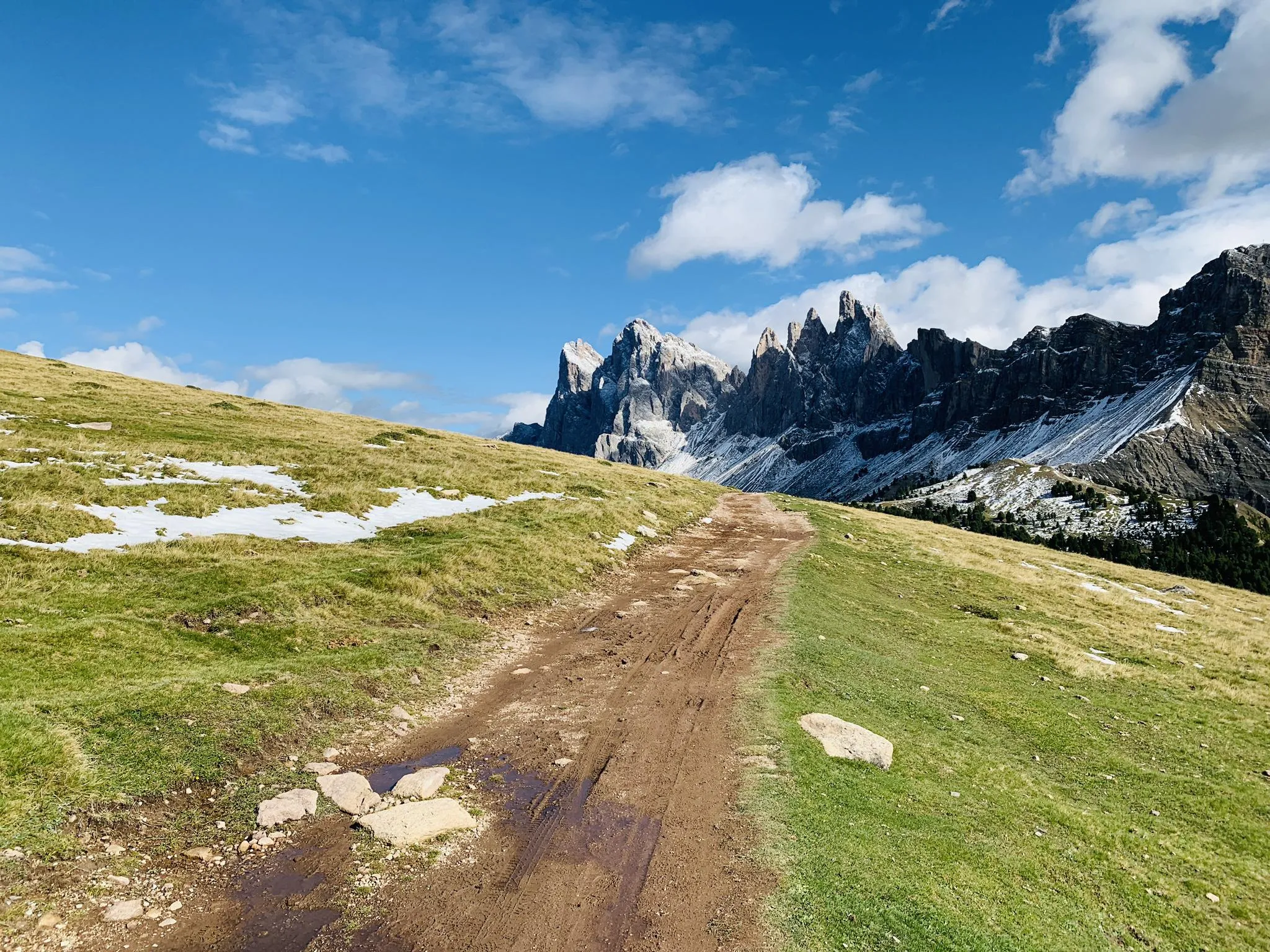
Between gorges and peaks – Dolomites UNESCO Geotrail
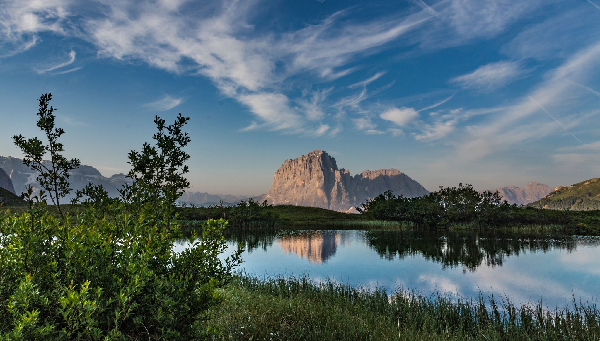
Secret Dolomites - beautiful spring in Val Gardena
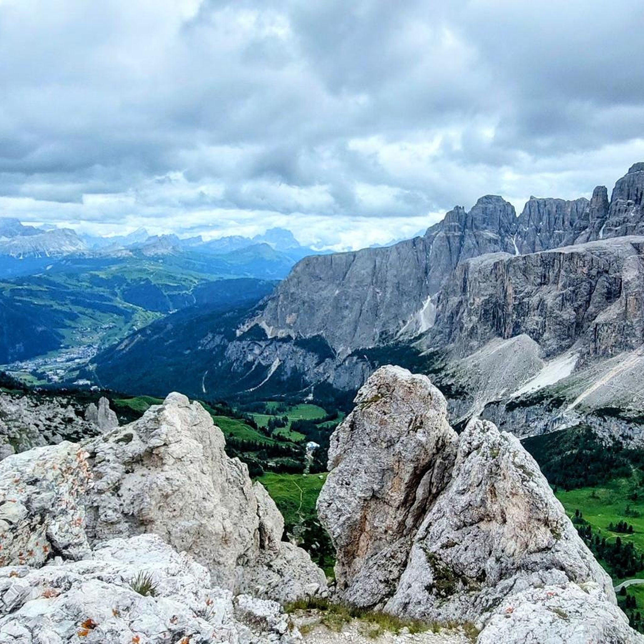
Road Cycling Routes around Parch Natural Pöz-Odles - Naturpark Puez-Geisler - Parco Naturale Puez-Odle
Other adventures around Parch Natural Pöz-Odles - Naturpark Puez-Geisler - Parco Naturale Puez-Odle


Tips from the Community

The Adolf Munkel Trail is the ideal route for a beautiful circular tour with recurring views of the fascinating Geisler peaks.
0
0

Beautiful hut ☘️Great bread and butter with delicious ham☘️cheese and salami☘️
0
0

Stunning hut, recommended for lunch after the Putia tour and also breakfast before the tour (opens at 9am)
1
0

Beautifully situated alpine pasture at the foot of the Peitlerkofel. Prompt service and delicious food. 🍴🍺 If you can find a spot, you can admire the mountain range from the curved loungers. 😲 There's no shortage of play opportunities for children.
2
0
Board with rules of conduct in winter
3
0
Beautifully situated hut. Good food and excellent service. 🍴🍺 With a view of the east side of the Peitlerkofel.
6
0
The peak is known not only for its 360-degree panorama, which it offers thanks to its remoteness, but also for the easy via ferrata that leads there. In fact, those who have never attempted a via ferrata are often recommended to choose this route.
5
0
Frequently Asked Questions
How many hiking trails are available in Puez-Geisler Nature Park, and what are their difficulty levels?
Puez-Geisler Nature Park offers a wide range of hiking experiences with over 90 trails. These are categorized to suit various abilities: approximately 11 easy routes, 38 moderate trails, and 43 difficult paths, ensuring options for every hiker.
What kind of natural attractions can I expect to see along the hiking trails?
The park is a UNESCO World Heritage site, renowned for its dramatic Dolomites geology. Hikers can discover jagged peaks like the Villnöss Geisler range, vast alpine pastures, and unique karstic landscapes. Picturesque spots such as Lake Crespeina and the tranquil Vallunga are also notable features. You'll also find stunning viewpoints like the View of the Puez and Odle groups and the View of the Geisler (Odle) Group.
Are there any family-friendly hiking options in Puez-Geisler Nature Park?
Yes, the park offers several family-friendly trails. The Adolf Munkel Trail is a popular moderate route that leads through forests and meadows, providing stunning views of the Odle/Geisler peaks. The Zans Nature Experience Trail is another excellent circular option suitable for families.
What are some challenging hikes for experienced trekkers in the park?
For experienced trekkers, the park offers demanding routes that showcase its rugged beauty. The Hike around Sasso Putia - Ring tour is a difficult 14.7 km path offering a strenuous circuit. Another challenging option is the Peitlerkofel Circuit Trail, which traverses varied alpine terrain.
Are there any circular hiking routes available?
Yes, circular routes are a great way to experience the diverse landscapes of Puez-Geisler Nature Park. The Hike around Sasso Putia - Ring tour is a well-known difficult circular path. The Zans Nature Experience Trail is also a family-friendly circular option.
What is the best time of year to go hiking in Puez-Geisler Nature Park?
The best time for hiking in Puez-Geisler Nature Park is typically from late spring to early autumn (May to October). During these months, the trails are generally free of snow, and the alpine meadows are in full bloom, offering pleasant temperatures and clear views of the Dolomites.
What do other hikers enjoy most about the trails in Puez-Geisler Nature Park?
The trails in Puez-Geisler Nature Park are highly rated by the komoot community, with an average score of 4.5 stars from over 9,600 reviews. Hikers frequently praise the stunning Dolomites landscapes, the well-maintained paths, and the diverse terrain that ranges from lush alpine pastures to dramatic jagged peaks.
Are there any specific landmarks or mountain passes I should look out for?
Absolutely. The park is home to several notable landmarks and mountain passes. You might encounter the Rifugio Genova – Schlüter Hut, a popular mountain hut, or traverse passes like Forcella Cir / Cirjoch and Peitlerscharte (Forcella Sass Putia), which offer spectacular views.
What kind of wildlife and plant life can be observed in the park?
Puez-Geisler Nature Park boasts rich biodiversity. Hikers can spot rare plants such as the black vanilla orchid, dotted gentian, and lady's-slipper orchid. The park is also home to various wildlife, including chamois, deer, roe deer, marmots, and bird species like eagles and capercaillie.
Are there any long-distance hiking routes that pass through the park?
Yes, the park is part of significant long-distance routes. The renowned Dolomites High Trail No. 2, also known as the High Trail of Legends, traverses the middle of the nature park, passing by Lake Crespeina. The Dolomites World Heritage Geotrail 11 also offers panoramic views through the region, providing multi-day adventures for experienced hikers.
Is there a hike that leads to a lake?
Yes, you can hike to picturesque water features within the park. The Lech de Ciampedel is a moderate 7.4 km trail that leads to a beautiful lake, offering a serene hiking experience.
Most popular routes around Parch Natural Pöz-Odles - Naturpark Puez-Geisler - Parco Naturale Puez-Odle
Most popular attractions around Parch Natural Pöz-Odles - Naturpark Puez-Geisler - Parco Naturale Puez-Odle

Get inspired with the komoot mobile app


Explore more
Browse the best Hikes in other regions.
