The best walks and hikes around Parco regionale del Matese
4.3
(436)
1,774
hikers
91
hikes
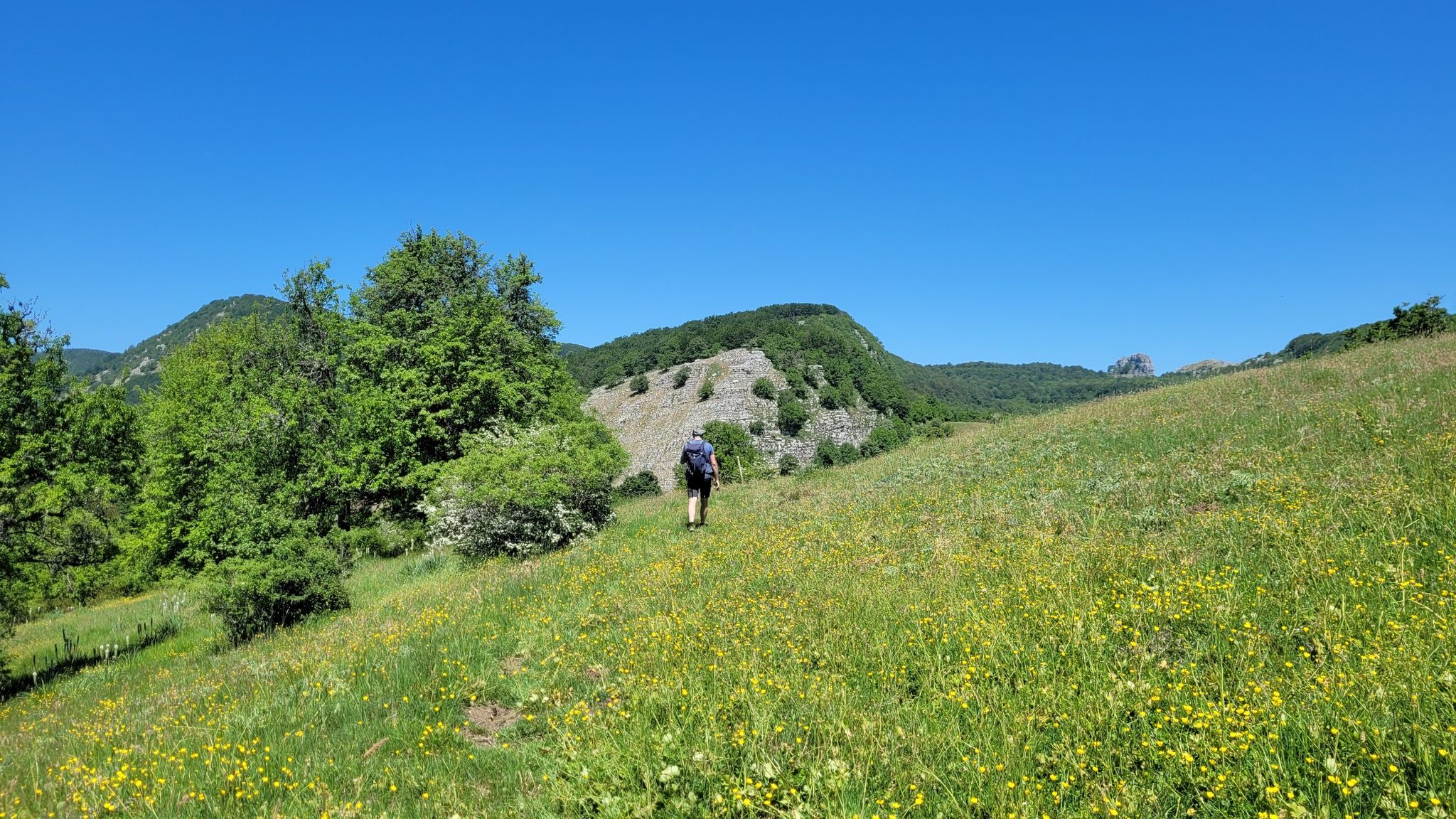
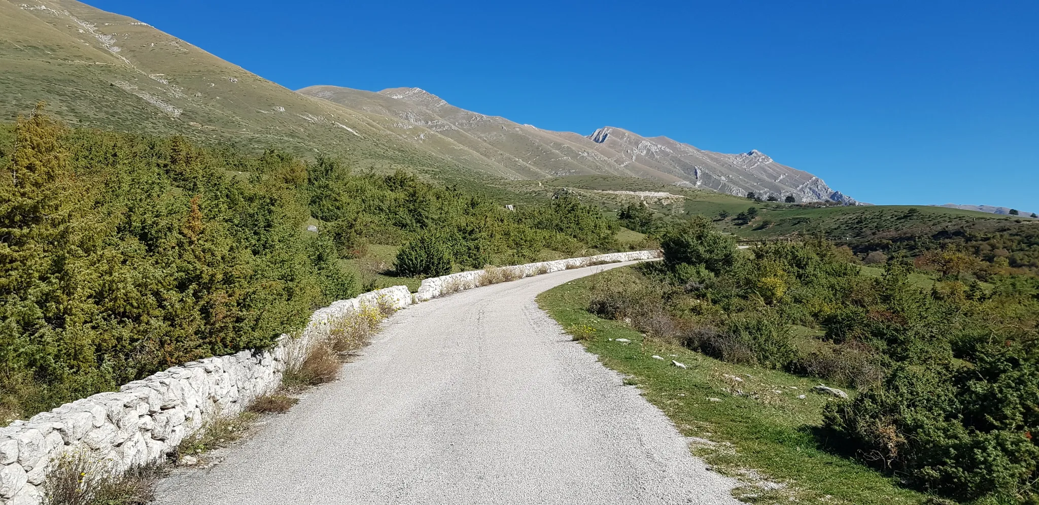
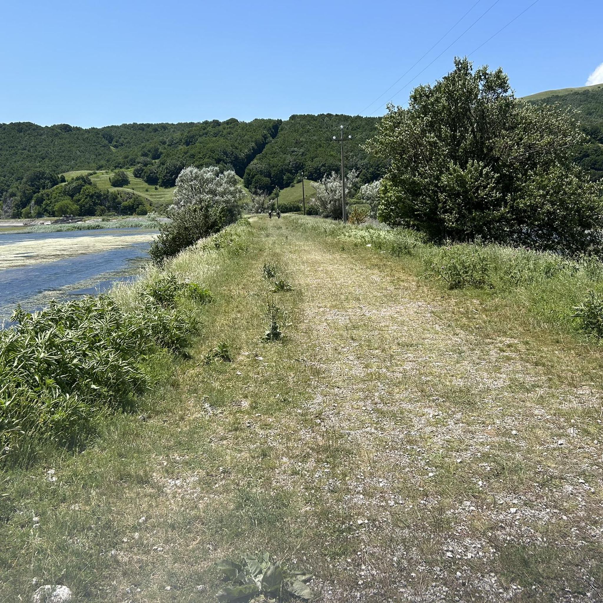
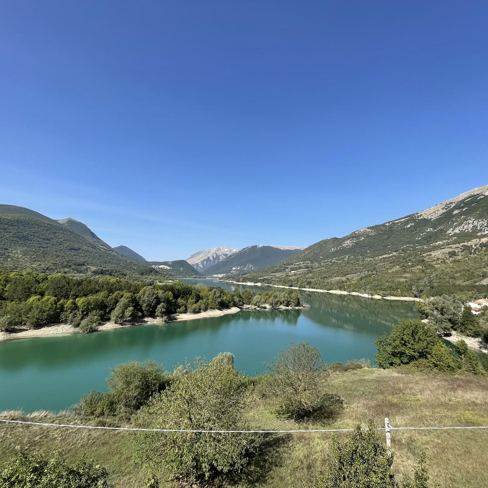
Hiking trails around Parco regionale del Matese traverse a diverse landscape characterized by rugged mountains, deep valleys, and extensive forests. The park is dominated by the Matese massif, featuring limestone peaks such as Monte Miletto, and includes Italy's highest karst lake, Lago del Matese. Hikers can explore ancient beech forests and encounter various karst phenomena like sinkholes. The terrain offers a range of elevations suitable for different hiking experiences.
Best hiking trails around Parco regionale del Matese
- The most popular hiking route is Monte Mutria Summit Loop, a 3.0 miles (4.8 km) trail that takes 1 hour 40 minutes to complete. This easy route offers views from Monte Mutria.
- Another top favourite among local hikers is Grotta delle fate – ring tour – Parco Regionale del Matese, an easy 2.9 miles (4.6 km) path. This trail explores the area around the "Grotta delle fate" (Fairy Cave).
- Local hikers also love the Pianellone and Belvedere Loop Trail, a 4.3 miles (6.9 km) trail leading through ancient beech forests, often completed in about 1 hour 56 minutes.
- Hiking around Parco regionale del Matese is defined by limestone peaks, karst lakes, and dense beech forests. The network of routes offers options for various ability levels, from easy walks to challenging mountain ascents.
- The routes in Parco regionale del Matese are highly rated by the komoot community with an average score of 4.4 stars from over 180 reviews. More than 700 hikers have used komoot to explore Parco regionale del Matese's varied terrain.
Last updated: July 20, 2026
4.0
(8)
45
hikers
4.80km
01:41
260m
260m
Imagine hiking through varied terrain, from shaded paths in ancient beech forests to open sections offering expansive views. This easy 3.0-mile (4.8 km) loop takes about 1 hour and 40 minutes to complete, with an elevation gain of 859 feet (262 metres). As you ascend, the landscape opens up, leading you to the summit of Monte Mutria and past the Chapel of Saint Anthony.
Parking is generally available at Bocca della Selva, which serves as a common starting point for this hike. The route is well-marked with CAI signs, making it easy to follow your way. While there are no specific warnings, be aware that mountain blooms appear in spring, and conditions can change with the seasons. Always check local conditions before you go.
This loop offers a rewarding experience within Matese National Park, providing a unique perspective on the region. From the summit of Monte Mutria, you can enjoy magnificent panoramic views. On clear days, you might even spot the Tyrrhenian and Adriatic Seas, along with Lake Matese, adding a special touch to your hike.
5.0
(1)
1
hikers
4.64km
01:36
230m
230m
Easy hike. Great for any fitness level. Easily-accessible paths. Suitable for all skill levels.

Sign up for free
4.2
(6)
22
hikers
14.1km
04:21
470m
470m
This moderate 8.8-mile (14.1 km) hike in the Gallo Matese area, taking about 4 hours and 20 minutes to complete, guides you through the diverse terrain of the Matese Regional Park. You will gain around 1540 feet (469 metres) in elevation as you explore clear calcareous mountains, lush forests, and serene valleys. Keep an eye out for the crystal-clear waterfalls and pools formed by the Sava River, often found within cypress forests. The route also showcases karst phenomena like sinkholes, adding to the varied landscape.
This route is considered moderate, requiring good fitness, but it follows easily accessible paths. The village of Gallo Matese, situated at 875 meters above sea level, serves as a natural starting point, offering views of the surrounding landscapes. The park offers a range of trails, but this specific route balances challenge with accessibility, making it a solid choice for a rewarding day out.
The Matese Regional Park is a protected area known for its rich biodiversity and remote tranquility, making it an ideal escape from busier regions. You will experience stunning natural landscapes, including pristine lakes and extensive forests. The park is home to diverse flora and fauna, with rare bird species like the golden eagle and peregrine falcon. The nearby village of Gallo Matese adds to the charm with its traditional stone houses and rustic character.
4.5
(11)
22
hikers
8.90km
03:02
450m
450m
Hike the moderate 5.5-mile Forre di Lavello Loop Trail in Parco Regionale del Matese, exploring river-carved gorges and ancient paths.
4.3
(6)
35
hikers
6.88km
01:56
140m
140m
Embark on the Pianellone and Belvedere Loop Trail, an easy hike that takes you through ancient beech forests and peaceful clearings. This 4.3-mile (6.9 km) route involves a gentle ascent of 464 feet (142 metres), making it suitable for a relaxed outing. You can expect to complete the loop in about 1 hour and 55 minutes. As you hike, you will encounter the expansive Pianellone Karst Plateau, a unique basin where animals often graze. The highlight is the Belvedere del Pianellone, a natural viewpoint offering wide vistas of Lake Matese and the surrounding peaks.
Before you head out, remember to check local conditions, particularly the weather in Matese Regional Park, to ensure a pleasant hike. This trail is classified as a 'tourist trail,' meaning it is well-suited for families and casual walkers. Parking is usually available near trailheads within the park, but it is wise to confirm specific details for the Monte Pianellone trailhead locally before your visit.
The Pianellone and Belvedere Loop Trail offers a gentle introduction to the diverse landscapes of the Matese Regional Park. You will experience the tranquility of nature while exploring the unique karst topography of the Pianellone plateau. The panoramic views from the Belvedere del Pianellone showcase Lake Matese, Italy's highest karst lake, providing a memorable perspective of this distinctive mountain range.
Get access to more routes and recommendations from other explorers.
Sign up for free
Already have an account?
Our route recommendations are based on thousands of hikes, rides, and runs completed by other people on komoot.
Start today with a free account
Your next adventure awaits.
Login or Signup
Popular around Parco regionale del Matese
Other adventures around Parco regionale del Matese


Tips from the Community

Monte Mutria is the highest peak of the Guardiaregia-Campochiaro Regional Reserve, with its 1823 meters of altitude. Near the top is the chapel of Sant'Antonio, built in the 1990s and a destination for summer pilgrimages. The panorama extends over the great mountains of the Apennines, and on the clearest days you can even see the sea.
2
0

Here we are in an area with forest near the "5 of Coins" (they are along the path continuing south). This is five beech hedge.
1
0
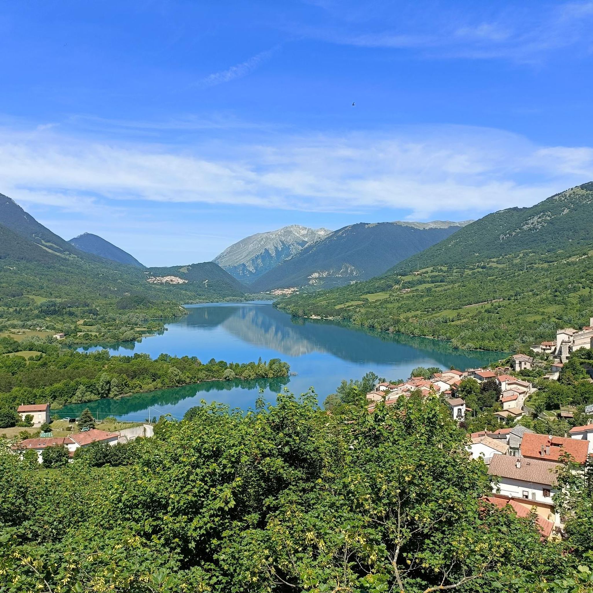
This rooftop terrace offers a breathtaking view of the Maltese lake.
1
0
The Pianellone is located at an altitude of 1390 meters. It is one of the largest karst basins in the Matese area.
1
0
From here it is possible to enjoy a beautiful panoramic view of the Pesco Lombardo and Pastonico mountains, among the closest ones, and the whole valley below.
1
0
The drywall can be found along the fairy path; as in other places in Italy it often tells us the story of old settlements, or is a trace of the transhumance practiced here in the past.
1
0
The path of the fairies is a path that starts from Gallo Matese, and goes towards Campo Figliolo. The official route is approx. 6 kilometers.
3
0
the area around Campo Figliuolo is full of surprises, with various springs, springs, valleys and very beautiful woods, in addition to the historical importance for the brigandage activities of this area.
1
0
Frequently Asked Questions
How many hiking trails are available in Parco regionale del Matese, and what are their difficulty levels?
Parco regionale del Matese offers a wide range of hiking experiences with over 70 trails. You'll find options for all skill levels, including 18 easy routes, 29 moderate trails, and 30 more challenging hikes.
Are there any trails that feature waterfalls or caves in Parco regionale del Matese?
Yes, the park is known for its natural wonders. You can explore trails near hidden waterfalls, such as the Lete Waterfalls. The Grotta delle fate – ring tour specifically explores the area around the 'Fairy Cave' (Fairy Cave), which is part of the larger Lete Caves system known for its stalactites and stalagmites.
What are some good options for easy or beginner-friendly hikes in the region?
For an easy and rewarding experience, consider the Monte Mutria Summit Loop. This 4.8 km trail offers views from Mount Mutria. Another accessible option is the Grotta delle fate – ring tour, which is 4.6 km and explores a charming natural area.
Are there any circular hiking routes in Parco regionale del Matese?
Yes, many trails in Parco regionale del Matese are designed as loops. Popular circular routes include the Monte Mutria Summit Loop, the Grotta delle fate – ring tour, and the Pianellone and Belvedere Loop Trail, which takes you through ancient beech forests.
What kind of natural features and viewpoints can I expect to see along the trails?
The park is rich in diverse landscapes. You'll encounter rugged limestone peaks like Monte Miletto, deep valleys, and extensive ancient beech forests. Notable viewpoints include the Belvedere del Pianellone: View over Lake Matese, offering stunning vistas of Italy's highest karst lake, Lake Matese. You can also find dramatic karst phenomena like sinkholes and the Lavello Gorges.
Are there any challenging or advanced hiking routes for experienced hikers?
For experienced hikers seeking a challenge, Parco regionale del Matese offers 30 difficult routes. A notable option is the Campo dell'Arco and Monte Miletto from Lago del Matese – loop. This demanding 14.9 km trail involves significant elevation gain, leading towards Monte Miletto, the highest peak in the massif.
What do other hikers enjoy most about hiking in Parco regionale del Matese?
The area is highly rated by the komoot community, with an average score of 4.4 stars from over 180 reviews. Hikers often praise the diverse landscapes, from rugged mountains to serene lakes and lush forests, as well as the well-maintained network of trails suitable for various abilities.
Is Parco regionale del Matese suitable for family hikes?
Yes, the park offers several family-friendly options. Many of the 18 easy routes are suitable for families, providing accessible paths through beautiful scenery without excessive difficulty. The diverse natural features, including lakes and forests, make for an engaging outdoor experience for all ages.
What is the best time of year to go hiking in Parco regionale del Matese?
The best time for hiking in Parco regionale del Matese is generally from spring through autumn. During these seasons, the weather is pleasant, and the natural beauty of the forests and lakes is at its peak. Summer offers cool refuges in the extensive beech forests, while autumn provides vibrant foliage. Winter transforms the park into a destination for snow sports, but some trails may be challenging due to snow and ice.
Are there any trails that pass by lakes or offer lake views?
Absolutely. The park is home to several picturesque lakes. The Pianellone and Belvedere Loop Trail offers panoramic views of Lake Matese, Italy's highest karst lake. You can also find trails with views of Lake Letino, adding to the scenic beauty of your hike.
What kind of wildlife might I encounter while hiking in Parco regionale del Matese?
Parco regionale del Matese is a haven for wildlife. Hikers might spot wild boars, deer, and various birds of prey like falcons and eagles. The park is also home to wolves and a rich diversity of smaller animals, making it an excellent spot for nature observation.
Are there any historical or cultural sites to explore near the hiking trails?
Beyond its natural beauty, Parco regionale del Matese is rich in history. You can explore ancient ruins, churches, and traditional rural villages that showcase the region's heritage, with traces of Samnite, Roman, and Norman civilizations. Charming towns like Cusano Mutri and Roccamandolfi offer architectural insights and historical significance.
Most popular routes around Parco regionale del Matese
Most popular attractions around Parco regionale del Matese

Get inspired with the komoot mobile app


Explore more
Browse the best Hikes in other regions.
