The best mountain hikes around Park of the Modenese Apennine
4.6
(16)
97
hikers
14
hikes
Mountaineering routes around Park of the Modenese Apennine traverse a diverse landscape characterized by significant peaks, extensive forests, and glacial lakes. The region, also known as Frignano Park, spans approximately 15,000 hectares, with elevations ranging from lower-altitude oak and chestnut woods to higher beech and coniferous forests. Prominent summits like Mount Cimone, the highest in the northern Apennines at 2,165 m, and Monte Giovo define the challenging terrain. Numerous glacial lakes, including Lake Santo and Lake Baccio, are nestled between…
Last updated: May 24, 2026
4.3
(3)
15
hikers
Hard mountaineering route. Good fitness required. Sure-footedness, sturdy shoes and alpine experience required.
4.0
(1)
4
hikers
10.8km
04:21
550m
550m
Hard mountaineering route. Good fitness required. Sure-footedness, sturdy shoes and alpine experience required.

Sign up for free
4.0
(1)
9
hikers
4.78km
02:43
470m
470m
Hard mountaineering route. Good fitness required. Sure-footedness, sturdy shoes and alpine experience required.
5.0
(2)
4
hikers
13.3km
05:33
740m
740m
Hard mountaineering route. Very good fitness required. Sure-footedness, sturdy shoes and alpine experience required.
5.0
(1)
3
hikers
11.7km
04:39
760m
760m
Moderate mountaineering route. Good fitness required. Mostly accessible paths. Sure-footedness required.
Get access to more routes and recommendations from other explorers.
Sign up for free
Already have an account?
Our route recommendations are based on thousands of hikes, rides, and runs completed by other people on komoot.
Start today with a free account
Your next adventure awaits.
Login or Signup
Popular around Park of the Modenese Apennine
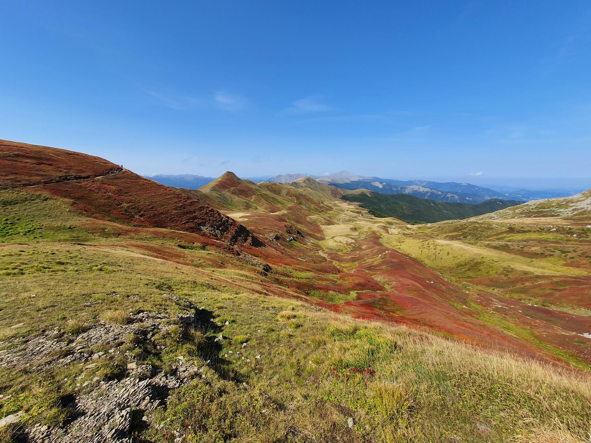
Abetone to Lake Brasimone – Alta Via dei Parchi (part 2)

Berceto to Abetone – Alta Via dei Parchi (part 1)
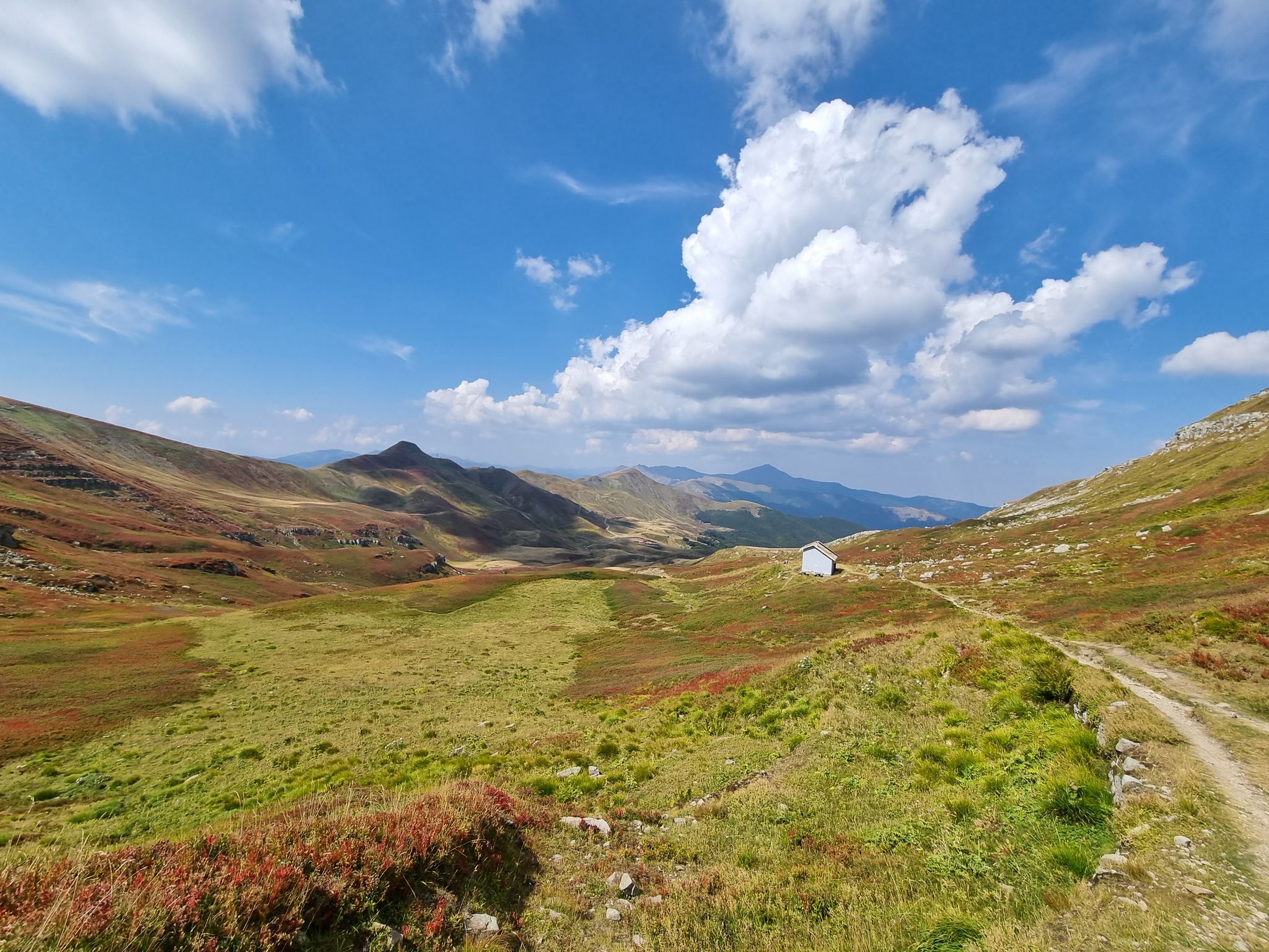
Three days of trails between Cimone and Corno alle Scale
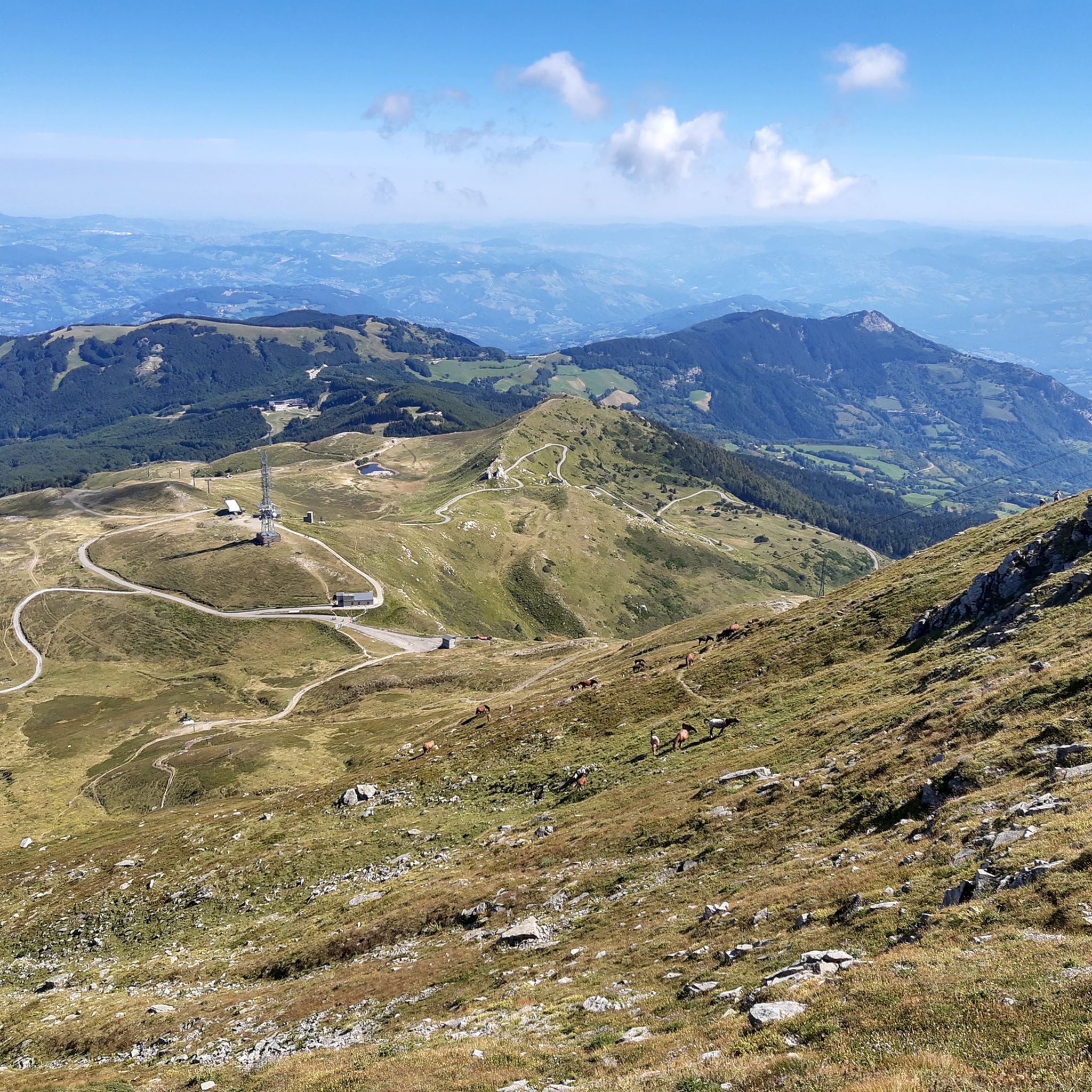
Hiking around Park of the Modenese Apennine
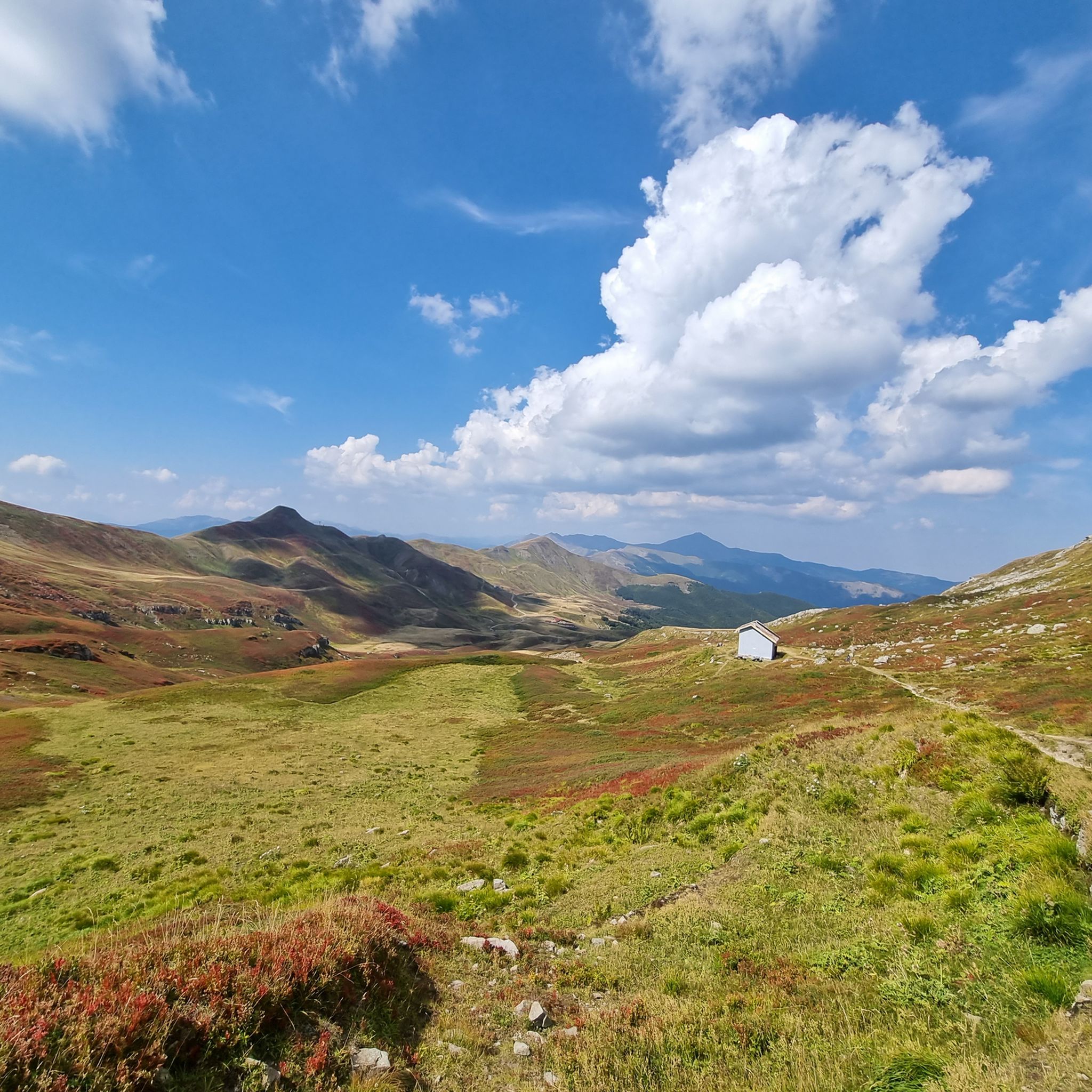
MTB Trails around Park of the Modenese Apennine
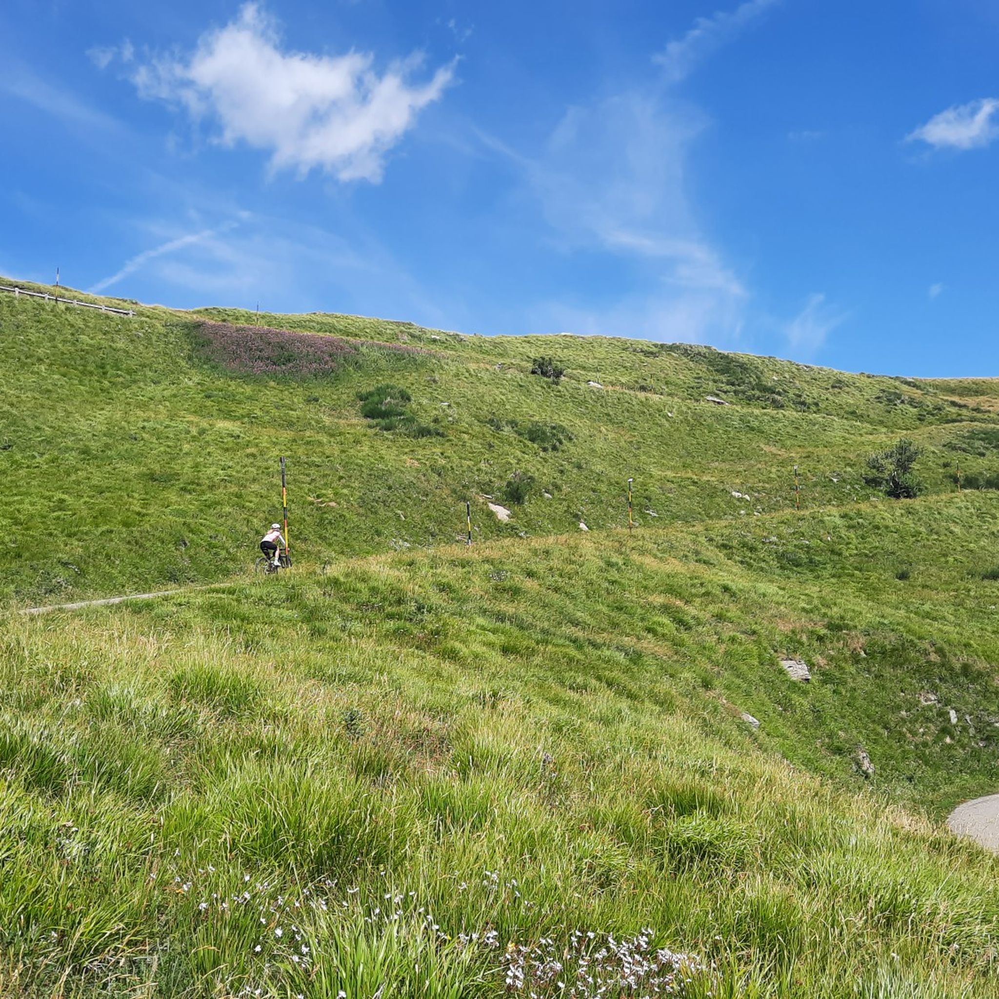
Road Cycling Routes around Park of the Modenese Apennine
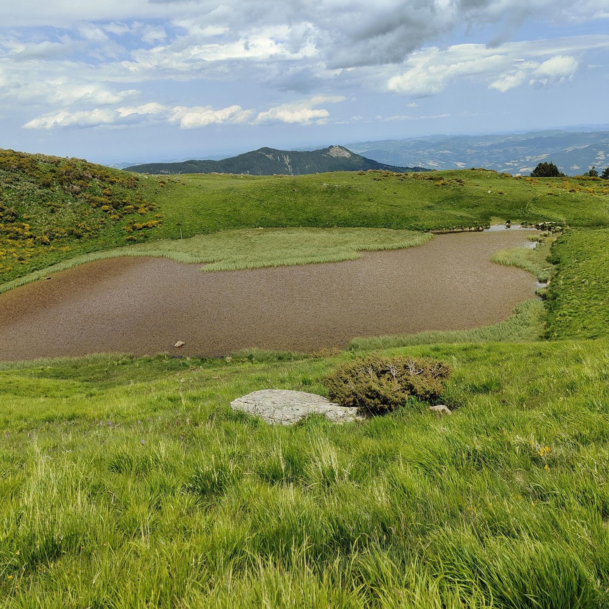
Running Trails around Park of the Modenese Apennine
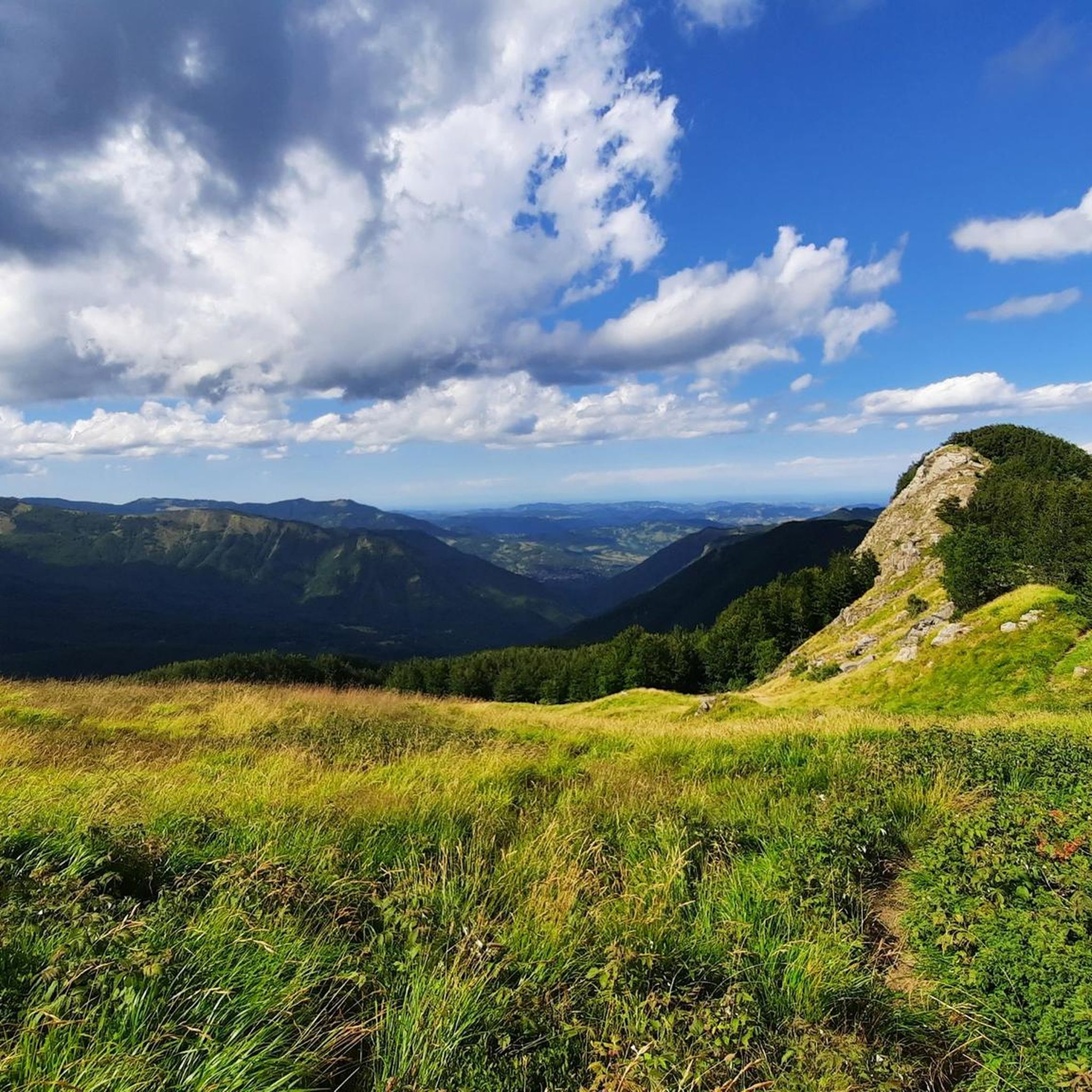
Cycling around Park of the Modenese Apennine

Gravel biking around Park of the Modenese Apennine
Other adventures around Park of the Modenese Apennine


Tips from the Community

In summer, Balzi dell'Ora is a challenging CAI trail due to its exposure and some technical sections. In winter, with snow and ice, it's a winter mountaineering route that, depending on snow conditions, could be quite respectable. I climbed it alone with two ice axes and crampons. If you're climbing as a team in the conditions I encountered, I think sure-footedness and experience are essential, as there are many traverses and ridge sections with sparse protection, and you'll obviously need adequate winter mountaineering gear. In any case, it's a beautiful climb with magnificent views and a very rewarding experience.
0
0
In winter, with the right snow conditions, the Punta Sofia cross is a popular destination, ascending from the Balzi dell'Ora or the north gullies, or from the east face (a more complicated option). In other seasons, it's a beautiful hike along the various CAI trails. On clear days, you can admire a breathtaking view.
0
0
In winter, the second gully (starting from the left) has the steepest exit, 60/70 degrees, depending on the snow. I recommend tackling it with two ice axes. If you're climbing in a roped-up rock, about 60 meters from the gully exit, there's a bolt on the right that's useful for a belay. Another bolt is located at the gully exit, but it's often covered by the ship. It's obviously a good idea to check the snow conditions and equip yourself with the appropriate winter mountaineering gear.
0
0

A refuge with renovated private rooms and excellent cuisine. It's an excellent starting point for various hikes in the area, and the management is very friendly. From the (paid) parking lot, it's about a 10-minute walk uphill to the refuge. The manager, Massimo, is a wonderful person; it's always a pleasure to return!
1
0

The summit of Mount Cupolino behind Lake Scaffaiolo
0
0

Monte Giovo, 1991 metres, is the highest peak in this part of the Apennines.
0
0
Passo Boccaia 1574 meters, crossroads of paths, arriving from Passo Eolo on the left you go down to Lago Santo, on the right you go down into the valley below Colle Bruciata continuing straight you start the climb (be careful very long and tiring) that leads to the summit of Monte Giovo at 1991 meters
0
0
Mount Cimone! the panettone! with its 2165 meters it is the highest peak of the northern Apennines. Iconic point of arrival and special panoramic point as it is unique in Italy for this characteristic (from its summit it is possible to observe, on the clearest days, the largest land surface of the Italian territory, from the Gran Sasso Apennines to the Alpine mountain range)
0
0
Frequently Asked Questions
How many mountaineering routes are available in the Park of the Modenese Apennine?
There are over 15 mountaineering routes documented in the Park of the Modenese Apennine, offering a range of experiences from moderate to difficult. These routes traverse diverse landscapes, including significant peaks, extensive forests, and glacial lakes.
What kind of terrain can I expect on mountaineering routes in the Park of the Modenese Apennine?
The terrain in the Park of the Modenese Apennine is highly varied. You'll encounter everything from oak and chestnut woods at lower altitudes to beech and coniferous forests higher up, culminating in bilberry heathland and vast meadows on elevated plateaus. Prominent peaks like Mount Cimone and Monte Giovo define the challenging, often rocky, terrain, with numerous glacial lakes nestled between them.
Are there any moderate mountaineering routes suitable for those with less experience?
Yes, there are several moderate routes. For example, the Il Passetto loop from Lago Santo modenese is a moderate 7.0 km path that provides access to high-altitude meadows and offers beautiful views of the surrounding Apennine landscape. There are 7 moderate routes in total.
What are some challenging mountaineering routes for experienced climbers?
For experienced mountaineers, the park offers 11 difficult routes. Consider the Altaretto – Monte Giovo loop from Lago Santo modenese, a 9.2 km trail with significant ascents to prominent peaks. Another challenging option is the Monte Giovo – Colle Traversata loop from Lago Santo modenese, which is nearly 11 km long and takes around 4 hours and 27 minutes to complete.
Are there any circular mountaineering routes in the Park of the Modenese Apennine?
Yes, many of the mountaineering routes in the Park of the Modenese Apennine are circular, allowing you to start and end at the same point. Examples include the Altaretto – Il Passetto loop from Lago Santo modenese, a 7.1 km trail through varied mountain terrain, and the Punta Sofia loop from Corno alle Scale.
What natural features or landmarks can I see along the mountaineering routes?
The Park of the Modenese Apennine is rich in natural beauty. You can encounter several glacial lakes, such as Lake Scaffaiolo, Lake Santo, and Lake Baccio. The majestic Monte Cimone Summit, the highest in the northern Apennines, offers breathtaking panoramic views. You might also discover impressive waterfalls like the Doccione Waterfall, which has a total drop of 120 meters.
What do other mountaineers say about the routes in the Park of the Modenese Apennine?
The mountaineering routes in the Park of the Modenese Apennine are highly rated by the komoot community, with an average score of 4.7 stars from over 17 reviews. Mountaineers often praise the diverse terrain, the stunning views from the peaks, and the well-maintained trails that lead to glacial lakes and through ancient forests.
Is the Park of the Modenese Apennine suitable for family-friendly mountaineering?
While many mountaineering routes here are challenging, the extensive trail network includes options suitable for families. Look for routes categorized as 'moderate' or 'easy' (though there are no easy mountaineering routes listed in this guide, other guides for hiking in the region may offer them). These often wind through historic villages and ancient forests, providing a less strenuous experience. Always check the specific route details for elevation gain and distance to ensure it matches your family's ability.
Are dogs allowed on the mountaineering trails in the Park of the Modenese Apennine?
Generally, dogs are permitted on trails in national parks in Italy, but they must be kept on a leash, especially in areas with wildlife. It's always best to check specific park regulations or local signage for any particular restrictions on certain routes or protected areas within the Park of the Modenese Apennine to ensure a pleasant and compliant experience for you and your dog.
What is the best time of year for mountaineering in the Park of the Modenese Apennine?
The best time for mountaineering typically spans from late spring through early autumn (May to October) when the weather is generally stable and trails are clear of snow. During these months, you can enjoy the diverse ecosystems and wildlife. In winter, the area transforms into a destination for snow sports, offering opportunities for ski-mountaineering, but requires specialized gear and experience.
Are there any huts or refuges along the mountaineering routes for breaks or overnight stays?
Yes, there are several huts and refuges in the area that can serve as excellent resting points or even overnight accommodations. Notable examples include the Rifugio Duca degli Abruzzi at Lake Scaffaiolo, the Taburri Mountain Hut, and the Tassoni Hut. These provide opportunities for refreshments and shelter, especially on longer routes.
Can I reach the mountaineering starting points using public transport?
While some villages and towns near the Park of the Modenese Apennine are accessible by public transport, direct access to specific mountaineering trailheads can be limited. It's advisable to research local bus services or consider carpooling/taxis from the nearest public transport hubs to reach more remote starting points. Planning ahead is key for logistics.
Most popular routes around Park of the Modenese Apennine
Most popular attractions around Park of the Modenese Apennine

Get inspired with the komoot mobile app


Explore more
Browse the best Mountain Hikes & Routes in other regions.
