The best road cycling routes around Ötigheim
4.6
(649)
9,486
riders
21
rides
Road cycling routes around Ötigheim are primarily situated in the Rhine plain, offering generally flat to gently rolling terrain suitable for various skill levels. The region is characterized by its proximity to the Murg River and the Rhine, providing scenic routes along waterways and through agricultural landscapes. Towards the east, the terrain gradually rises towards the foothills of the Black Forest, introducing more challenging climbs and descents. This geographical diversity allows for a range of road cycling experiences, from leisurely…
Last updated: September 28, 2026
4.7
(9)
186
riders
125km
04:53
200m
200m
Moderate road ride. Good fitness required. Mostly well-paved surfaces and easy to ride.
4.4
(7)
91
riders
26.5km
01:02
40m
40m
Easy road ride. Great for any fitness level. Mostly well-paved surfaces and easy to ride.

5.0
(2)
40
riders
82.1km
03:33
550m
550m
Moderate road ride. Good fitness required. Some segments of this route may be unpaved and difficult to ride.
4.8
(6)
45
riders
105km
04:59
1,250m
1,250m
Hard road ride. Very good fitness required. Some segments of this route may be unpaved and difficult to ride.
41
riders
Hard road ride. Very good fitness required. Mostly well-paved surfaces and easy to ride.
Get access to more routes and recommendations from other explorers.
Already have an account?
Our route recommendations are based on thousands of hikes, rides, and runs completed by other people on komoot.
Start today with a free account
Your next adventure awaits.
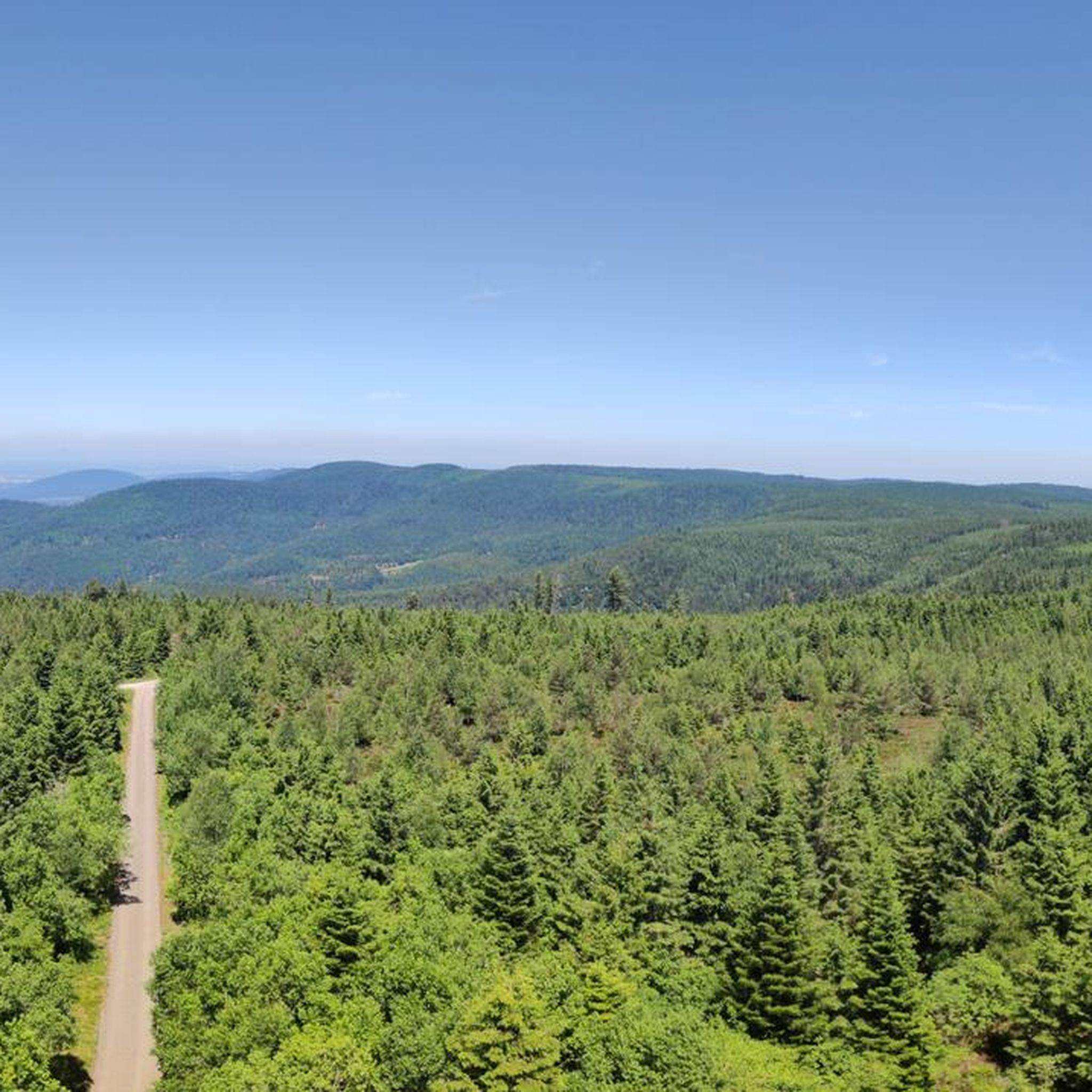
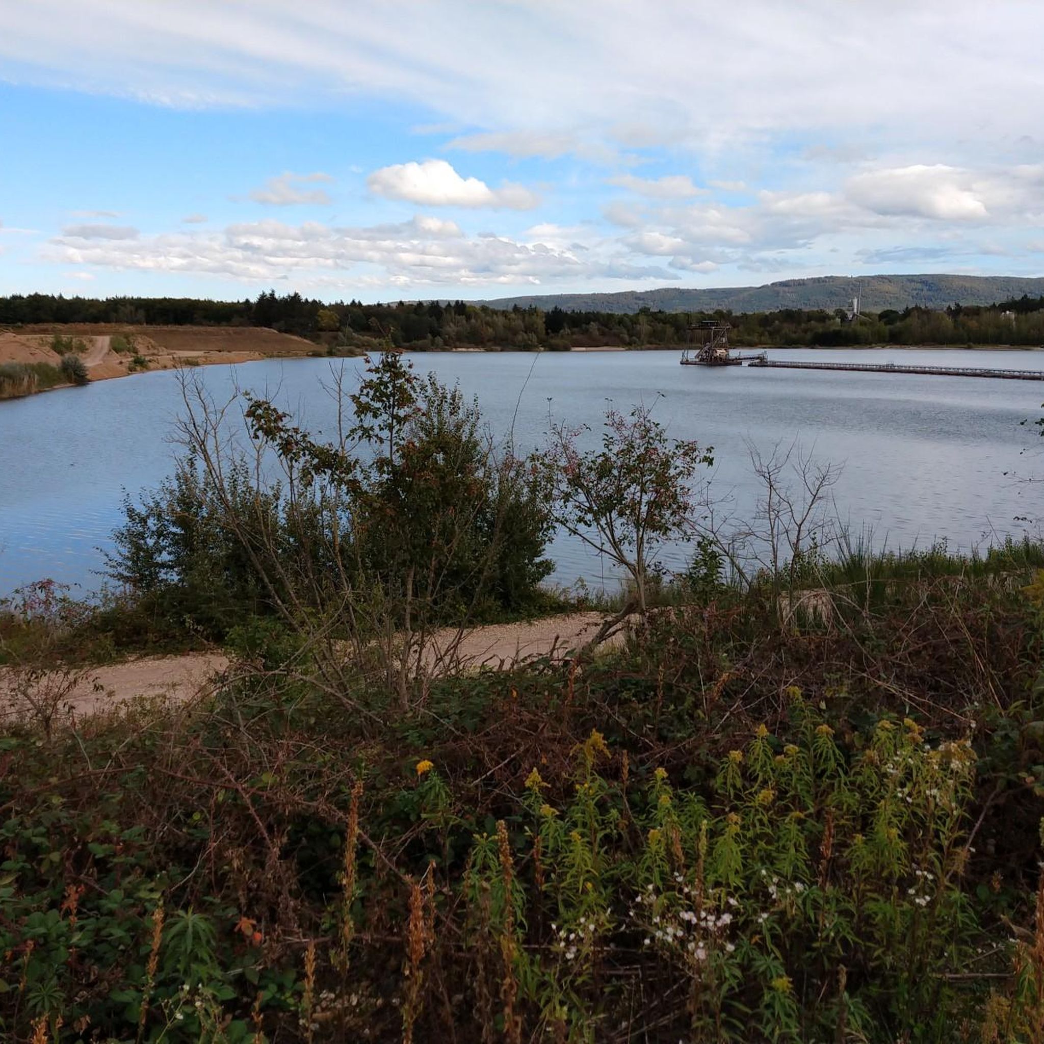
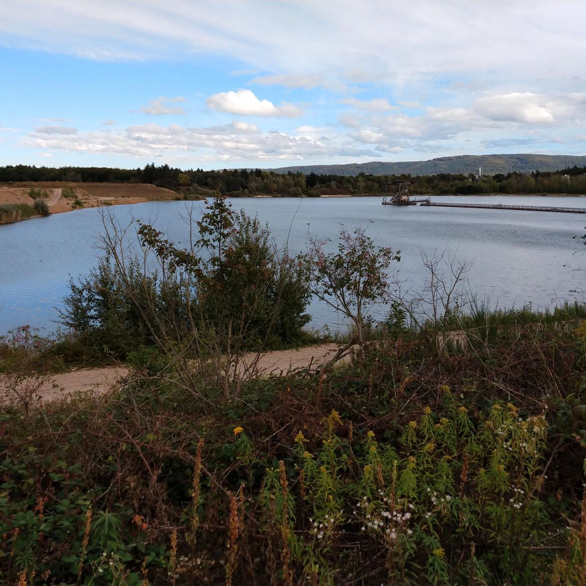
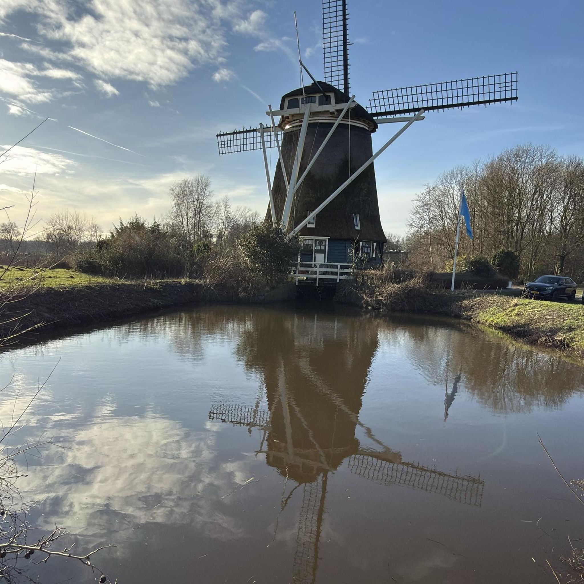
Tips from the Community

Great trails with a view over the Rhine valley 😍
0
0

One of the oldest and most traditional casinos in Europe
9
0

Great route as an alternative to the main road
0
0

Beautiful cycle path through the nature reserve.
0
0


You can enter a few meters inside the casino.
5
0
Neo-Renaissance palace from the 1880s.
1
0

You can cross the city along the Murg River. A few smaller stops along the way also invite you to pause.
0
0
Frequently Asked Questions
What kind of terrain can I expect on road cycling routes around Ötigheim?
Road cycling routes around Ötigheim primarily traverse the Rhine plain, offering generally flat to gently rolling terrain. You'll find scenic routes along the Murg River and the Rhine, passing through agricultural landscapes. Towards the east, the terrain gradually rises into the foothills of the Black Forest, providing more challenging climbs and descents for those seeking elevation.
Are there road cycling routes suitable for beginners or families in Ötigheim?
Yes, Ötigheim offers several easy road cycling routes perfect for beginners or families. The region's flat river plains provide smooth surfaces for a relaxed ride. For example, the St. Andreas Church Au am Rhein – Mörsch–Neuburgweier cycle path loop from Ötigheim is an easy 16.5-mile route through the flat Rhine floodplains.
Where can I find more challenging road cycling routes near Ötigheim?
For more challenging rides, head towards the eastern parts of the region, where the terrain rises into the Black Forest foothills. Routes like the Mummelsee – View of the Rhine Plain loop from Ötigheim offer significant elevation gain, with over 1200 meters of climbing, providing a demanding experience for experienced cyclists.
Are there any circular road cycling routes available in Ötigheim?
Many of the road cycling routes around Ötigheim are designed as loops, allowing you to start and end in the same location. A popular moderate circular route is the Rheinau-Gambsheim Lock – Kaelben loop from Ötigheim, which covers 78.2 miles along the Rhine.
What are some scenic viewpoints or landmarks I can see along the routes?
The routes offer various scenic points, especially along the rivers and as you approach the Black Forest foothills. You might encounter views of the Rhine plain, and if you venture towards the nearby peaks, you can find highlights like the Mahlberg Tower and View from Mahlberg or the Eichelberg Summit.
What is the best time of year for road cycling in Ötigheim?
The best time for road cycling in Ötigheim is typically from spring through autumn. During these seasons, the weather is generally mild, and the landscapes along the Rhine and Murg rivers are vibrant. Summer offers longer daylight hours, while spring and autumn provide pleasant temperatures for longer rides.
Are there any road cycling routes around 50km in length?
Yes, there are several road cycling routes around the 50km mark. The Ottersdorf–Wintersdorf cycle path – The Murg River in Rastatt loop from Ötigheim is a moderate 49.4-mile (79.5 km) path that offers a scenic journey alongside the Murg River, characterized by flat and smooth surfaces.
What do other road cyclists say about the routes in Ötigheim?
The road cycling routes in Ötigheim are highly rated by the komoot community, with an average score of 4.6 stars from over 30 reviews. Cyclists often praise the diverse terrain, from flat river plains to challenging ascents, and the well-maintained paths that cater to various skill levels.
Can I access road cycling routes in Ötigheim using public transport?
Ötigheim is generally well-connected, and many routes are accessible from the town center, which can be reached by public transport. For specific starting points of routes, it's advisable to check local bus or train schedules to see which stops are closest to your desired starting location.
Are there any routes that offer a good mix of flat sections and some elevation?
Absolutely. The region's geography, transitioning from the Rhine plain to the Black Forest foothills, naturally provides routes with a varied profile. The Hairpin Bends to Baden-Baden – Gernsbach Old Town loop from Ötigheim is a moderate 82.2 km route that combines flatter sections with notable climbs as it approaches the Baden-Baden area.
How many road cycling routes are available around Ötigheim?
There are 19 road cycling routes available around Ötigheim, offering a wide range of options for different skill levels and preferences. This includes 5 easy routes, 11 moderate routes, and 3 difficult routes.
Most popular attractions around Ötigheim

Get inspired with the komoot mobile app


Explore more
Browse the best Road cycling routes in other regions.
