The best cycling routes around Dinosaur Geopark Haţeg
5.0
(3)
30
riders
4
rides
Touring cycling routes around Dinosaur Geopark Haţeg traverse an amphitheater-shaped relief, featuring a central piedmont plain, expansive terraces, and meadows. The region is framed by the Southern Carpathian mountain chains, including Retezat, Șureanu, Tarcu, and Poiana Rusca. Cyclists can explore diverse ecosystems, from alpine shrubs and grasslands to spruce fir, beech, and sessile oak forests. The area also includes deep gorges and, at higher altitudes, glacial lakes.
Best touring cycling routes around Dinosaur Geopark Haţeg
- The most popular touring cycling…
Last updated: August 11, 2026
3
riders
56.1km
03:30
550m
550m
Hard bike ride. Very good fitness required. Mostly paved surfaces. Suitable for all skill levels.
5.0
(3)
6
riders
28.7km
01:40
170m
170m
Moderate bike ride. Good fitness required. Mostly paved surfaces. Suitable for all skill levels.

Sign up for free
10
riders
42.7km
02:37
400m
400m
Moderate bike ride. Good fitness required. Mostly paved surfaces. Suitable for all skill levels.
4
riders
51.1km
03:01
250m
250m
Hard bike ride. Good fitness required. You may need to push your bike for some segments of this route.
2
riders
44.1km
02:54
630m
630m
Hard bike ride. Very good fitness required. Mostly paved surfaces. Suitable for all skill levels.
Our route recommendations are based on thousands of hikes, rides, and runs completed by other people on komoot.
Start today with a free account
Your next adventure awaits.
Login or Signup
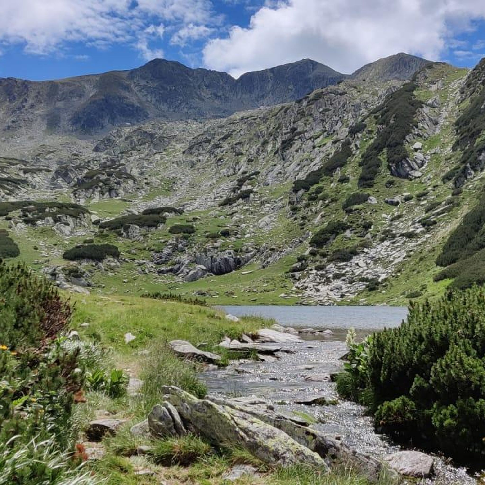

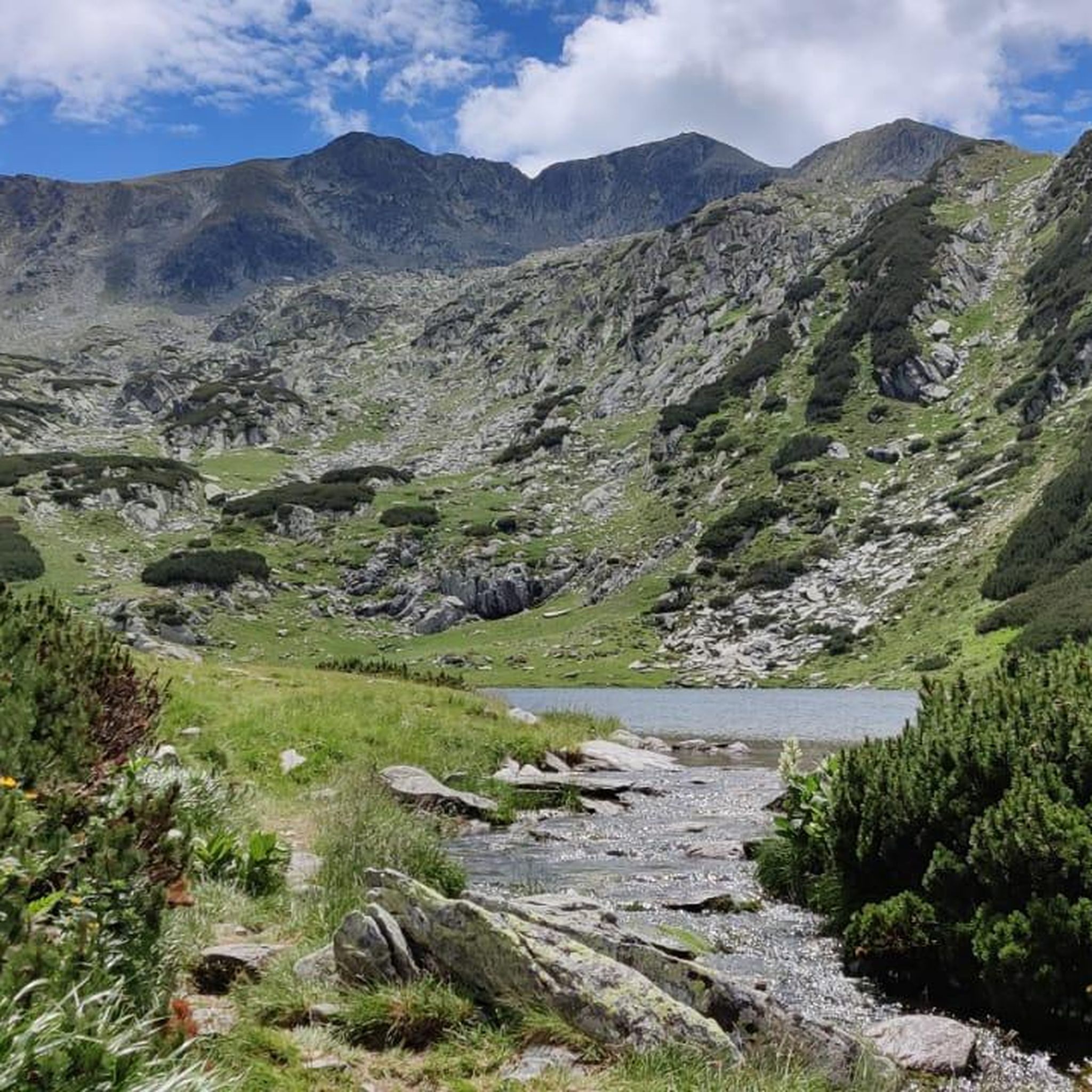
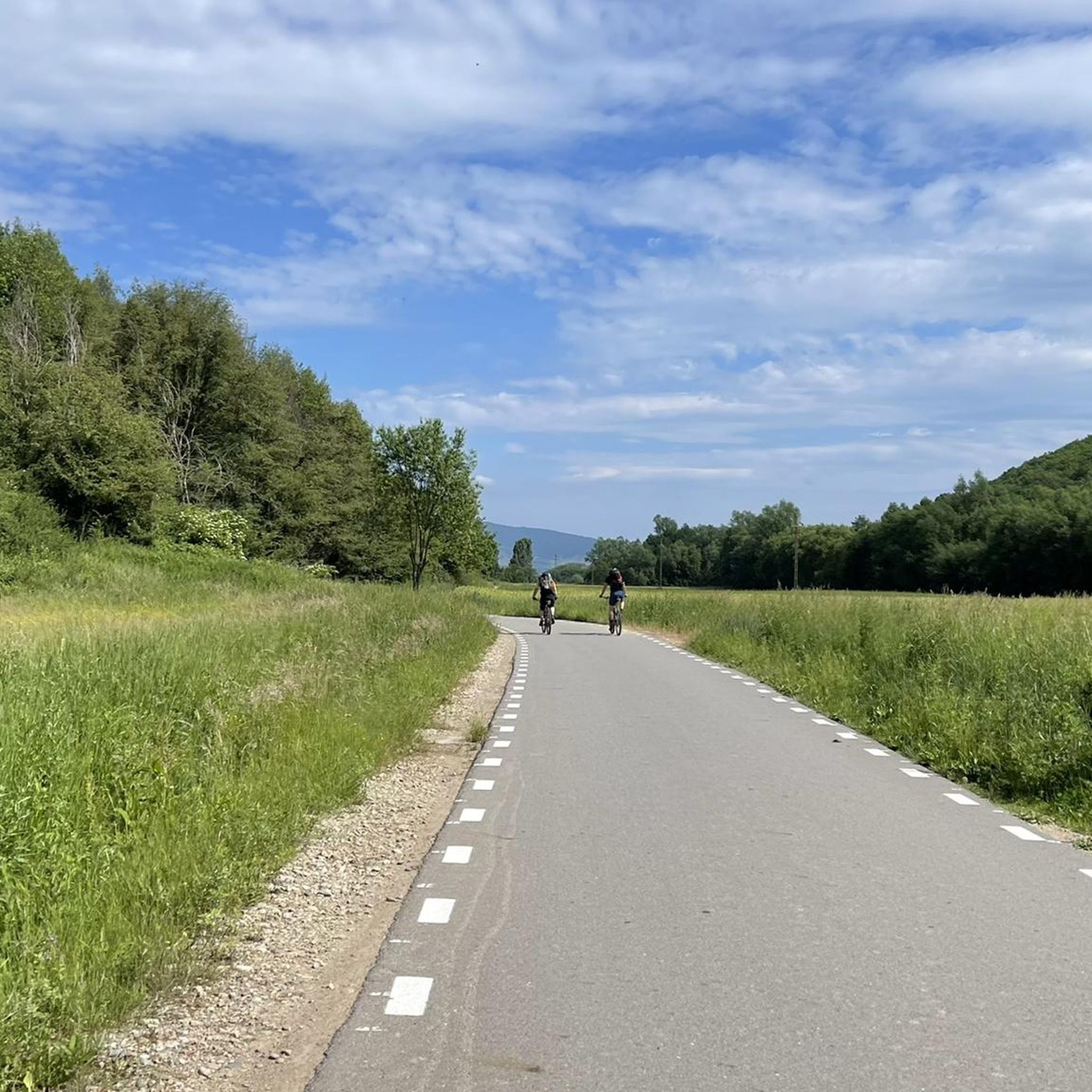
Tips from the Community

Here the rivers Jiul de Est and Jiul de Vest flow together to form the Jiu River.
0
0
After the climb, the perfect place to stop, drink fresh water and refill water supplies.
0
0

Uricani (obsolete Uricani-Hobițeni, Uricani-Hobiceni; Hungarian Urikány or Hobicaurikány, German Goldenbach)[3] is a small town in Hunedoara County in Romania. Uricani is a relatively late settlement that has probably existed since the end of the 18th century. It was first mentioned in documents in 1786 under the name Uricani-Hobiceni (Hungarian Hobiczény és Felső Urikány). The first settlers were Romanians, came from the villages of Hobița and Uric in the Hațeg area and named the new settlement after their hometowns. At first, forestry and livestock farming were the most important industries. Soon, however, mining of hard coal and lignite played the main role.[4] In 1857, a coking plant was put into operation.[5] The rapid economic development led to a rapid increase in population. As a result of the First World War, the town passed from Austria-Hungary to Romania and was officially named Uricani. After the Second World War, coal mining was intensified again. In 1965, Uricani was granted town status.[4] The economic upheaval after the revolution in 1989 led to the closure of some of the coal mines and left many miners unemployed.
0
0
Petroșani (Hungarian: Petrozsény, German: Petroschen, formerly: Steinthal) is a city in Romania; it is located in the Hunedoara County in the Transylvanian Alps. The town is the center of a mining region and is known as the "City of Coal", as well as a university town.
0
0

Super private camp site for cyclistes. Outdoor solar shower, covered kitchen with all the needs for cooking and eating. All super clean with a lot of love put in every details. Very quiet ( frogs in the pond may bother some) surrounded by nature. Flat grassy camp spots and many other goodies. Highly recommended. A cabin is available if you you looking at a night not tenting. 35lei/person. 3 grocery stores at Rau de Mori, less than 1km away.
1
0

100m more and then right, fixed my bike straight away and was very helpful!
0
0
Frequently Asked Questions
What kind of terrain can I expect on touring cycling routes in Dinosaur Geopark Haţeg?
The routes in Dinosaur Geopark Haţeg offer a diverse landscape. You'll encounter an amphitheater-shaped relief with central piedmont plains, expansive terraces, and lush meadows. Routes are framed by the Southern Carpathian mountain chains, including Retezat, Șureanu, Tarcu, and Poiana Rusca. Expect varied ecosystems, from alpine shrubs and grasslands to spruce fir, beech, and sessile oak forests. Some routes, like the Uricani Memorial Monument – Picnic Area with Stone Wall loop from Vâscoza, pass through traditional villages and arable areas, while others, such as the Vulcan – Petroșani loop from Vulcan, lead through forested mountain slopes.
Are there any easy touring cycling routes suitable for beginners in the Geopark?
While the Geopark features routes with varying difficulty, including some challenging options, there are moderate paths available. The Uricani Memorial Monument – Picnic Area with Stone Wall loop from Vâscoza is a moderate 17.8-mile (28.7 km) path that offers a scenic experience through traditional villages and arable areas, making it a good option for those seeking a less strenuous ride.
What are some challenging touring cycling routes for experienced riders?
For experienced touring cyclists looking for a challenge, the Geopark offers routes with significant elevation changes. The Balta Rosie Campsite loop from Subcetate is a difficult 34.9-mile (56.1 km) trail with varied terrain and substantial climbing. Another difficult option is the Vulcan – Petroșani loop from Vulcan, a 27.4-mile (44.1 km) trail through forested areas with notable elevation.
What historical and natural landmarks can I explore while cycling in Dinosaur Geopark Haţeg?
The Geopark is rich in both natural and historical sites. You can visit the ruins of Sarmizegetusa Ulpia Traiana, the ancient Roman capital of Dacia province, or explore medieval churches like the magnificent Densus church. Fortresses such as Mălăiești Fortress also dot the landscape. Naturally, the Geopark is renowned for its 'dwarf dinosaurs,' with sites like the 'House of Dwarf Dinosaurs' in Sânpetru and the 'House of the Geopark' offering exhibits. The 'Volcano Road' trail in Densuș allows you to observe ancient volcanic formations, including well-preserved pillow lavas.
Are there any family-friendly cycling options in the Dinosaur Geopark Haţeg?
The Geopark aims to be accessible for various visitors, including families. While specific 'family-friendly' designated routes aren't detailed in the provided data, the presence of moderate paths and traditional village routes suggests that some sections could be suitable for families. The 'Dinosaur Valley Themed Trail,' which connects Sânpetru, Ohaba-Sibișel, and Nucșoara, is described as suitable for cycling and offers an engaging dinosaur-themed experience that families might enjoy.
What is the best time of year for touring cycling in Dinosaur Geopark Haţeg?
The region's diverse ecosystems, from alpine shrubs to forests and meadows, suggest that spring, summer, and early autumn would be ideal for touring cycling. These seasons typically offer pleasant weather conditions for exploring the varied terrain and enjoying the natural beauty of the Southern Carpathian foothills and plains.
What do other touring cyclists say about their experience in Dinosaur Geopark Haţeg?
The touring cycling routes in Dinosaur Geopark Haţeg are highly rated by the komoot community, with an average score of 5.0 stars from over 1 review. Cyclists often appreciate the varied terrain, from piedmont plains to forested mountain slopes, and the opportunity to pass through traditional villages, offering a comprehensive experience of the region's natural and cultural tapestry.
Are there any circular touring cycling routes available?
Yes, the Geopark features several circular routes. Examples include the Balta Rosie Campsite loop from Subcetate, the Uricani Memorial Monument – Picnic Area with Stone Wall loop from Vâscoza, and the Vulcan – Petroșani loop from Vulcan. These loops allow cyclists to start and end their journey in the same location, making logistics simpler.
Can I find places to eat or stay near the cycling routes?
The region includes traditional villages and arable areas, suggesting that local amenities such as cafes or guesthouses might be available, particularly in larger settlements or along more frequented routes. The mention of 'Balta Rosie Campsite' in one route name also indicates camping options are present. For specific recommendations, it's advisable to check local listings or mapping services for establishments along your chosen route.
How many touring cycling routes are available in Dinosaur Geopark Haţeg?
There are at least 4 touring cycling routes documented in Dinosaur Geopark Haţeg, offering a range of experiences from moderate to difficult, and covering diverse landscapes across the region.
Is public transport available to access the cycling routes?
While specific public transport details for accessing trailheads are not provided, the region's focus on sustainable development and geotourism often implies efforts to improve accessibility. It's recommended to research local bus or train services connecting to the main towns or villages within the Geopark, such as Haţeg, Subcetate, or Vulcan, which serve as starting points for some routes.
Are there any specific regulations or permits required for cycling in the Geopark?
The Dinosaur Geopark Haţeg is a UNESCO Global Geopark, emphasizing sustainable development and geotourism. While general cycling is encouraged, it's always good practice to respect local regulations, especially concerning protected areas or private land. No specific permits for cycling are mentioned in the provided information, but staying on marked trails and respecting natural habitats is always advised.
Most popular routes around Dinosaur Geopark Haţeg

Get inspired with the komoot mobile app


Explore more
Browse the best Cycling routes in other regions.
