The best walks and hikes around Ostrach
4.5
(7273)
29,401
hikers
83
hikes
Hiking around Ostrach offers diverse landscapes, characterized by extensive fen and wetland areas like the Pfrunger-Burgweiler Ried, and significant protected forests such as the Bannwald. The region also features the scenic Ostrachtal Valley with its river and waterfalls, alongside several tranquil lakes. These varied environments provide a range of trails suitable for different skill levels, from easy walks to more demanding routes.
Best hiking trails around Ostrach
- The most popular hiking route is Vogelsee loop from Burgweiler, a 6.3…
Last updated: November 6, 2026
4.8
(582)
1,832
hikers
10.1km
02:35
30m
30m
Moderate hike. Good fitness required. Easily walkable paths.
4.0
(1)
5
hikers
8.50km
02:16
100m
80m
Moderate hike. Good fitness required. Easily walkable paths.

4.8
(188)
714
hikers
8.09km
02:04
30m
30m
Moderate hike. Good fitness required. Easily walkable paths.
4.8
(177)
679
hikers
Easy hike. Easily walkable paths.
4.9
(17)
110
hikers
3.97km
01:00
10m
10m
Easy hike. Easily walkable paths.
Get access to more routes and recommendations from other explorers.
Already have an account?
Our route recommendations are based on thousands of hikes, rides, and runs completed by other people on komoot.
Start today with a free account
Your next adventure awaits.
Popular around Ostrach
bwegt-Wanderwege – travel in a flexible way, experience more
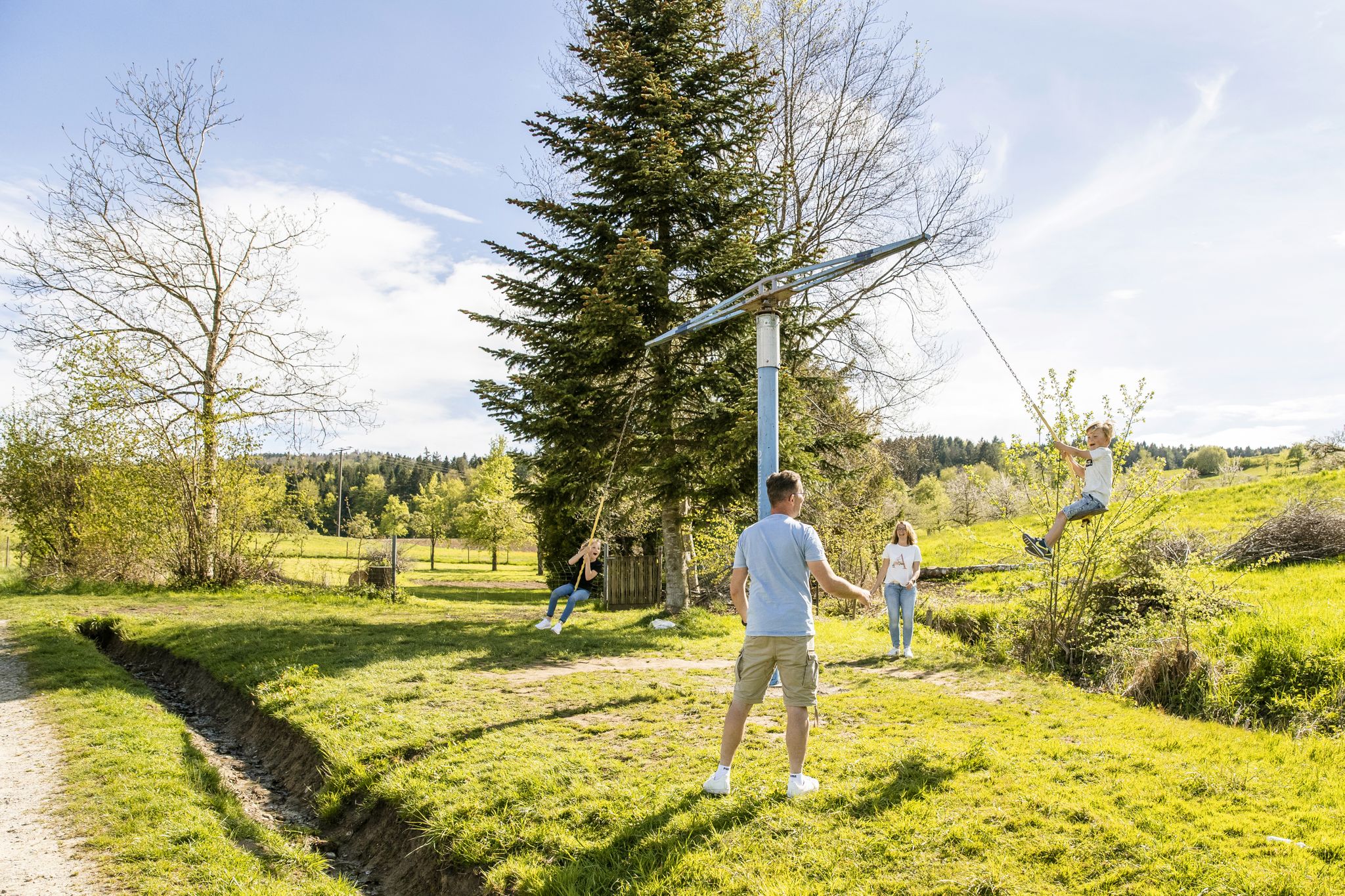
Erlebniswege für die ganze Familie – Wandern mit Kindern
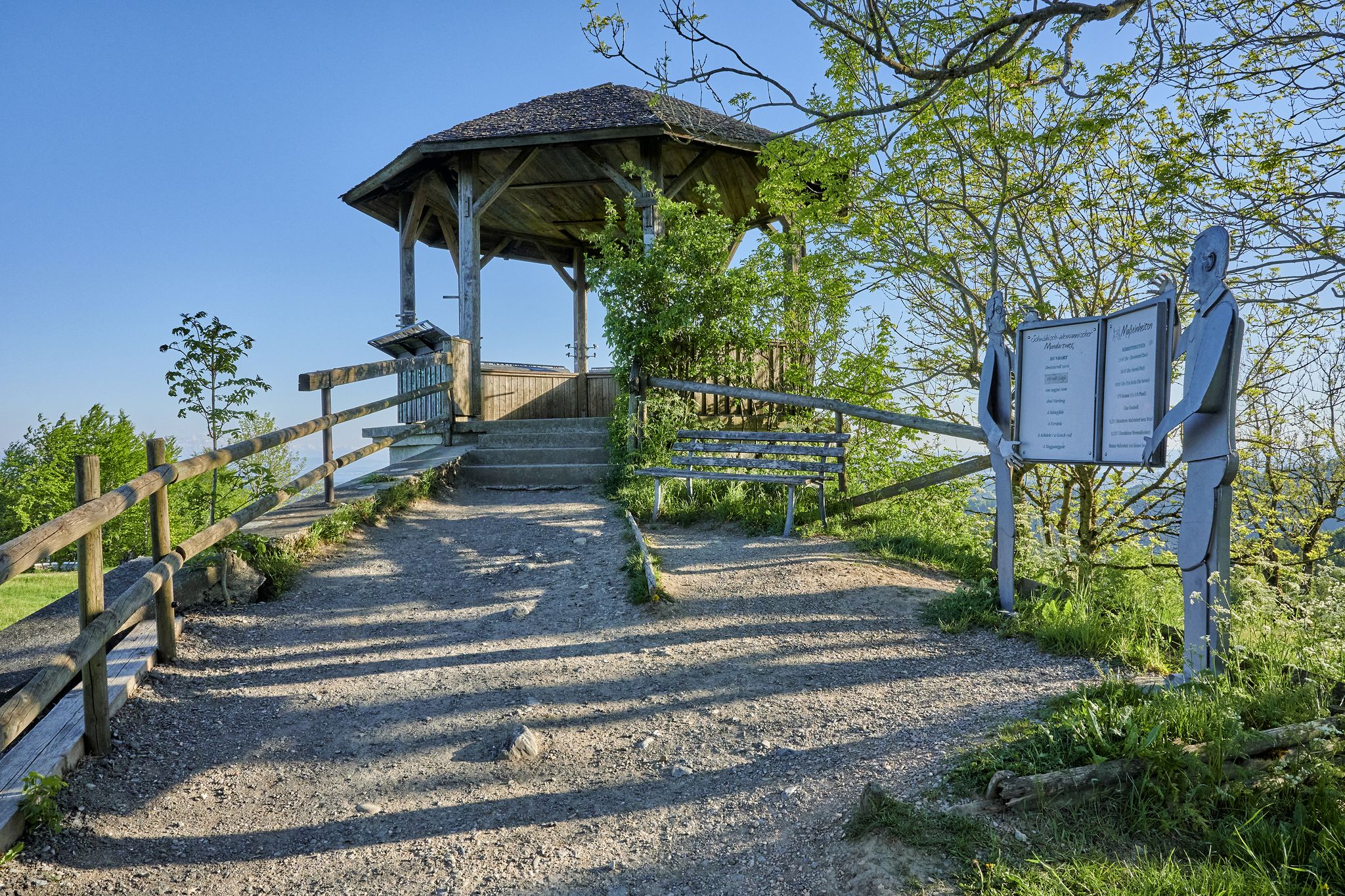
Stille Pfade, verborgene Schätze – Wandern im idyllischen Bodensee-Umland
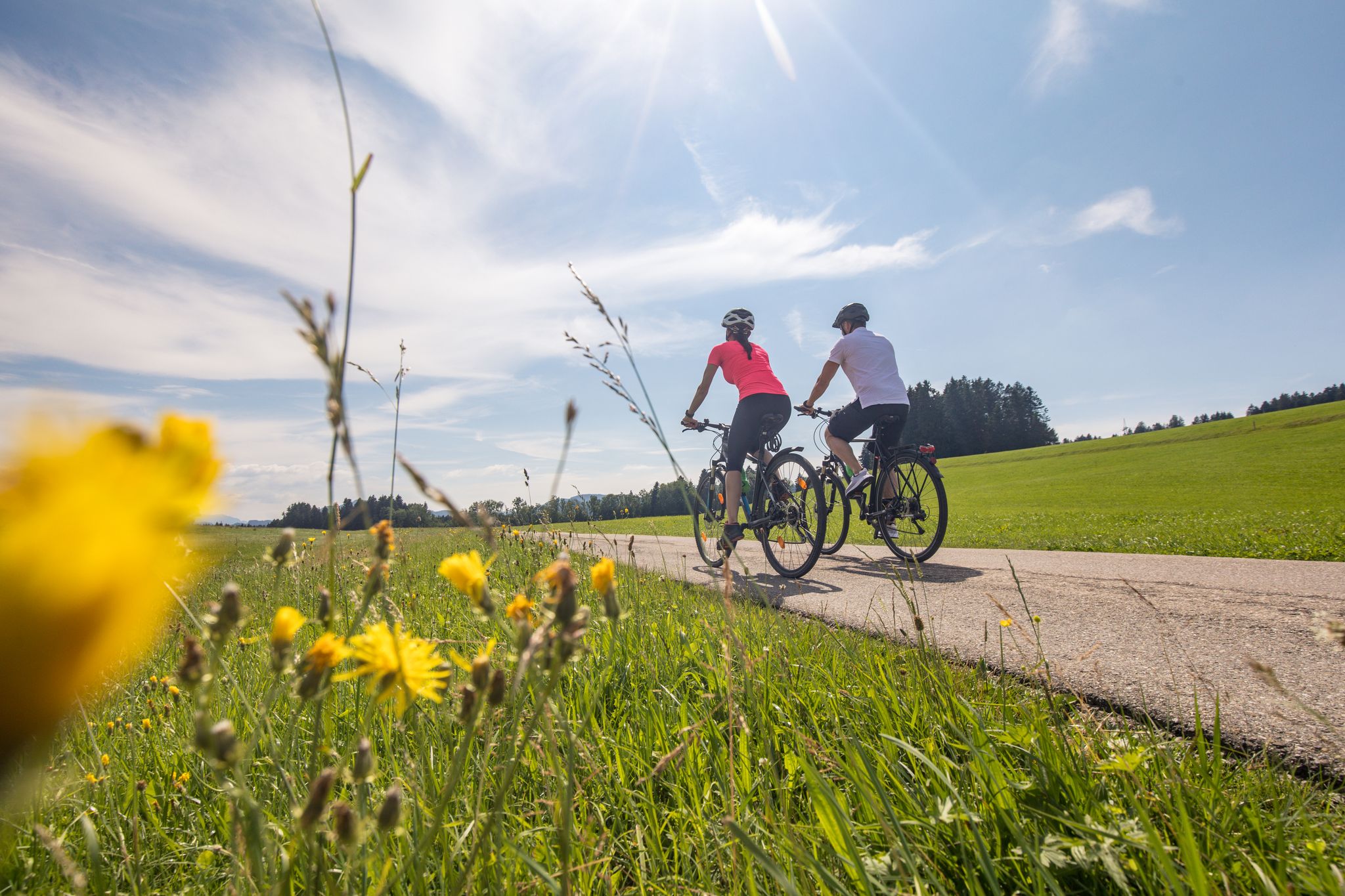
Ruhe und Natur pur - Radtouren im Bodensee Umland
Cycling around Ostrach
Running Trails around Ostrach
Road Cycling Routes around Ostrach
MTB Trails around Ostrach
Gravel biking around Ostrach
Other adventures around Ostrach


Tips from the Community

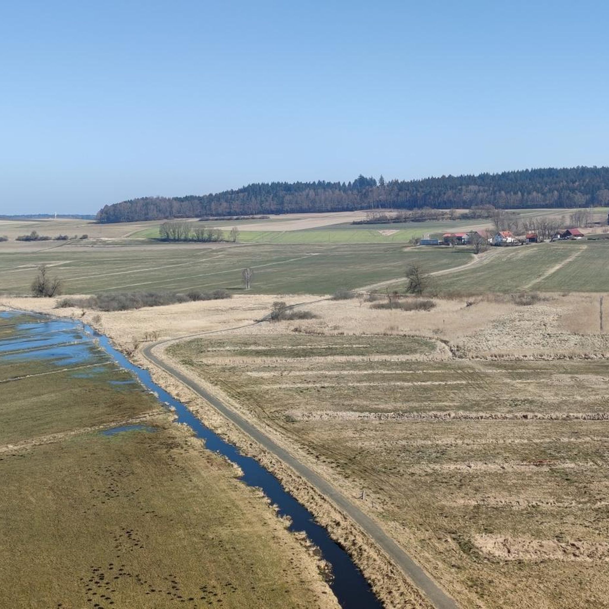
A really beautiful piece of nature.
0
0

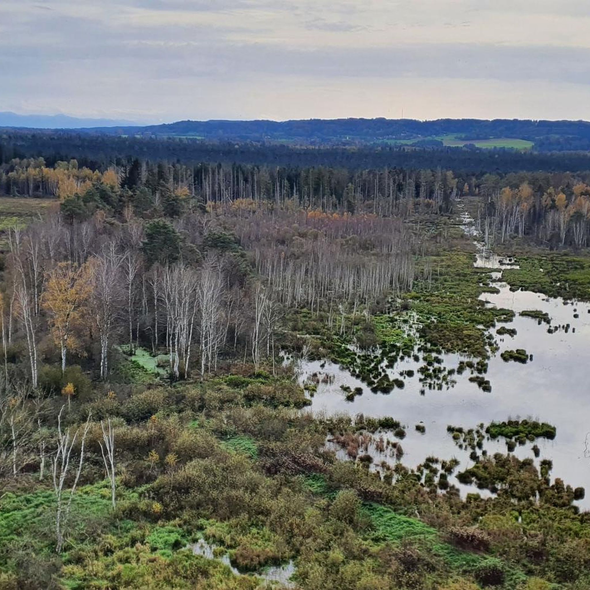
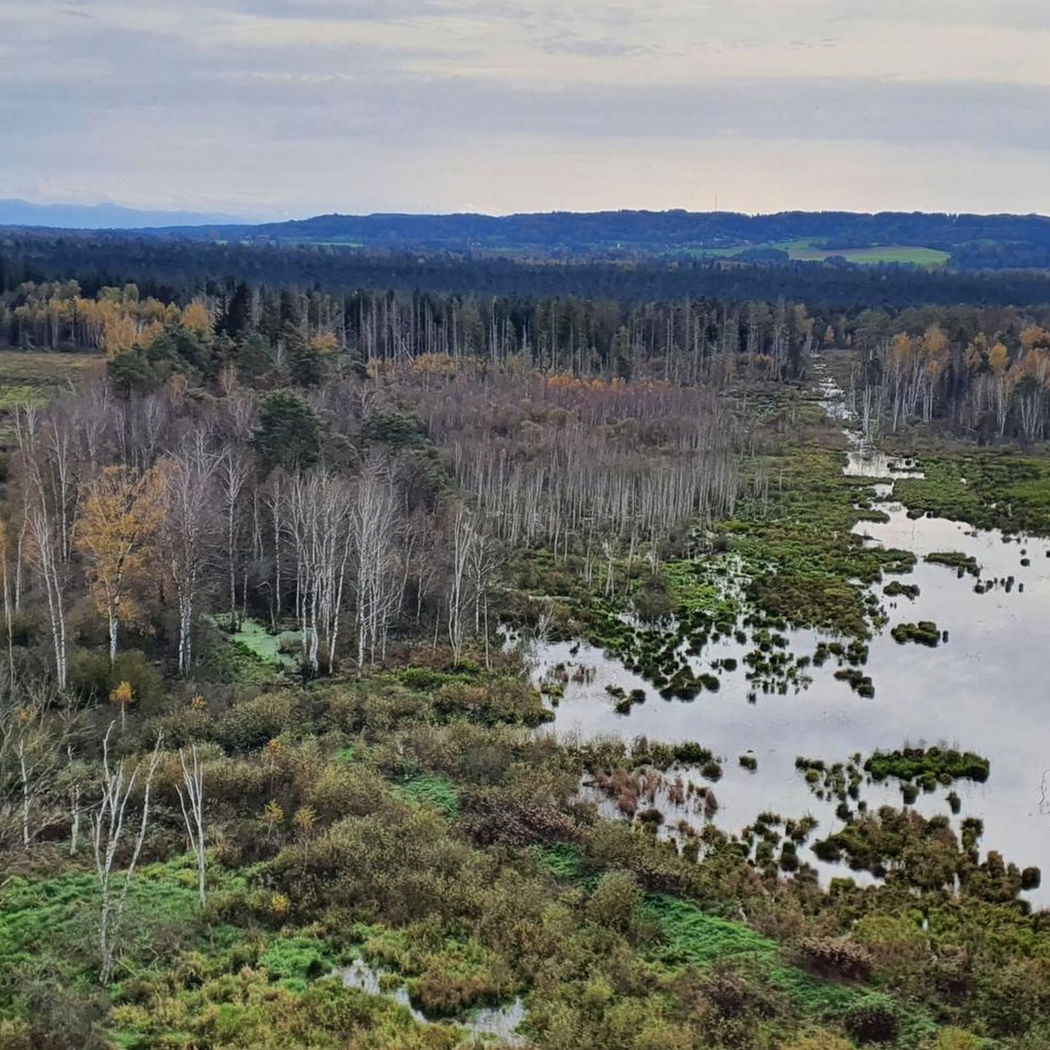
A dreamlike place to enjoy 🤩 and switch off. A magnificent play of colors in the sunshine ☀️ One of my favorite places 🥰
0
0

The Pfrungener Ried is always worth a visit. We'll be back soon.
2
0

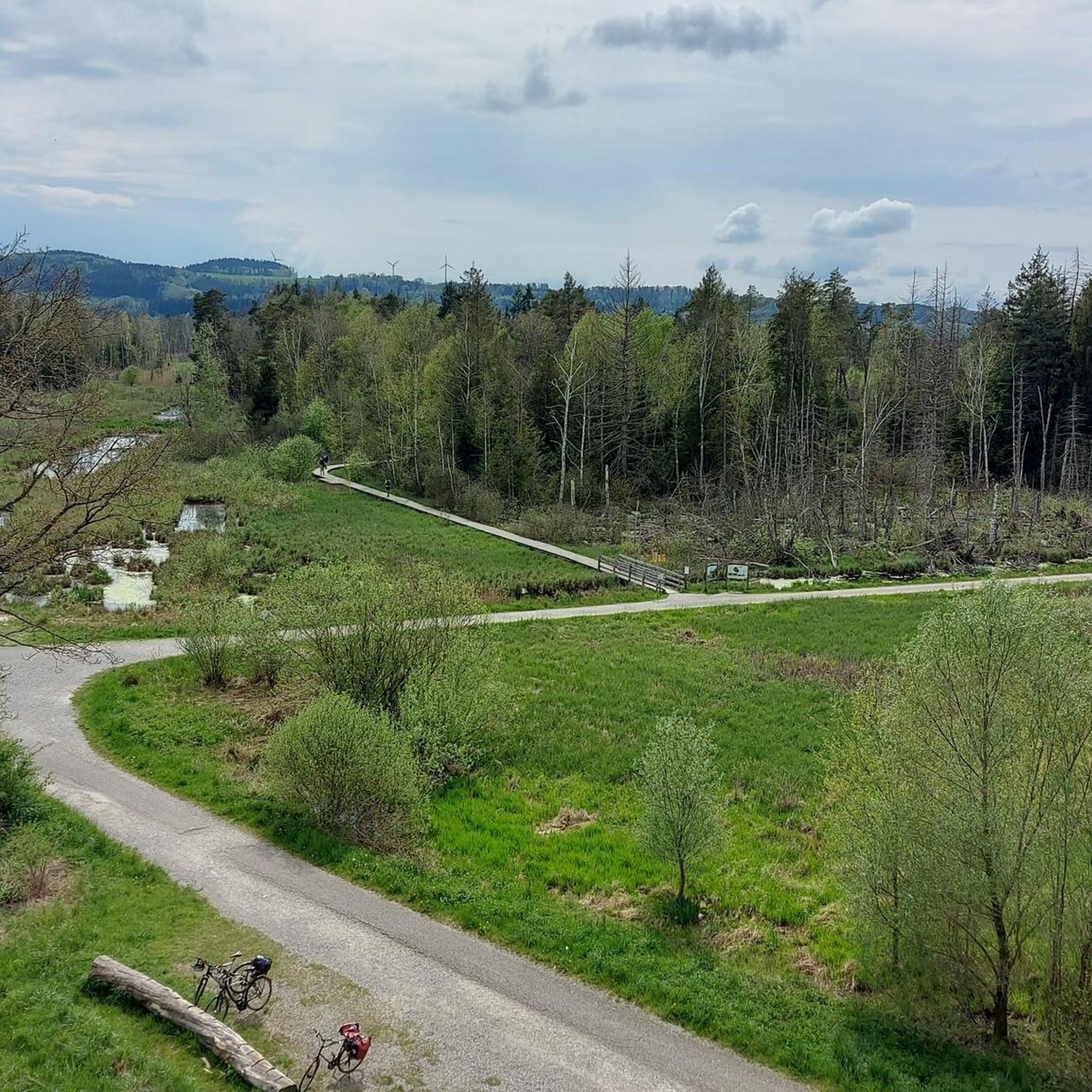
Observation platform with information board - Bannwald 🌳🌲🌳 Table platform - Table forest area - Pfrunger-Burgweiler Ried / Pfrunger Ried - Ostrach - Sigmaringen district
3
0
Fünfeckweiher 🌊 - Pfrunger-Burgweiler Ried / Pfrunger Ried - Ostrach - Sigmaringen District
2
0
Information board - Protected forest 🌳🌲🌳 - Pfrunger Ried - Largest protected forest in Baden-Württemberg - 441 hectares of undisturbed forest conservation area
2
0
Beautiful wooden bridge over the Tiefenbach stream 🌊 - Pfrunger-Burgweiler Ried / Pfrunger Ried - Ostrach - Sigmaringen district
2
0
The Vogelsee, created by industrial peat extraction between 1970 and 1996, is a habitat for beavers and kingfishers. Source: https://de.wikipedia.org/wiki/Pfrunger-Burgweiler_Ried
2
0
Frequently Asked Questions
How many hiking trails are available around Ostrach?
Ostrach offers a wide network of hiking trails, with over 90 routes available for exploration. These range from easy strolls to more challenging excursions, catering to various fitness levels and preferences.
Are there easy hiking trails suitable for beginners or families with children?
Yes, Ostrach has many easy trails perfect for beginners and families. For instance, the Five-sided Pond – Bannwaldturm Parking Area loop from Laubbach is an easy 6.8 km trail through the protected Bannwald forest. The Ostrachtal Valley also features a family-friendly, stroller-accessible hike along the Ostrach river near Hinterstein, offering views of waterfalls.
What kind of natural landscapes can I expect to see while hiking in Ostrach?
Ostrach's hiking trails showcase diverse landscapes, including the extensive fen and wetland areas of the Pfrunger-Burgweiler Ried, significant protected forests like the Bannwald, and the scenic Ostrachtal Valley with its river and waterfalls. You'll also find tranquil lakes, such as the Vogelsee, and access to the Upper Danube Nature Park.
Are there any circular hiking routes in Ostrach?
Yes, many trails in Ostrach are circular, allowing you to start and end at the same point. A popular moderate option is the Vogelsee loop from Burgweiler, which covers 10.1 km. Another is the Bannwaldturm Parking Area loop from Burgweiler, a 11.2 km moderate route.
Can I bring my dog on the hiking trails in Ostrach?
Many trails in Ostrach are dog-friendly, allowing you to enjoy the natural beauty with your canine companion. It's always recommended to keep dogs on a leash, especially in protected areas like the Pfrunger-Burgweiler Ried or near wildlife, and to check specific trail regulations if available.
Are there any waterfalls to see on hikes around Ostrach?
Yes, the Ostrachtal Valley, particularly near Hinterstein, is known for its impressive natural scenery, including beautiful waterfalls along the Ostrach river. A family-friendly hike in this area allows you to enjoy the rushing water and cascades.
What are some notable landmarks or attractions I can visit while hiking in Ostrach?
Hikers can explore several interesting landmarks. The Bannwald Tower in the Pfrunger-Burgweiler Ried offers panoramic views. You can also find historical sites like Königseggwald Castle or hike towards Sigmaringen Castle. The Five-sided Pond is another natural highlight.
What do other hikers enjoy most about hiking in Ostrach?
The area is highly rated by the komoot community, with an average score of 4.7 stars from over 1000 reviews. Reviewers often praise the diverse landscapes, from extensive wetlands to protected forests, and the variety of well-maintained routes suitable for all levels.
Are there opportunities for wildlife spotting on the trails?
Given the extensive wetlands of the Pfrunger-Burgweiler Ried and the protected Bannwald forest, Ostrach offers excellent opportunities for wildlife spotting. Hikers might encounter various bird species, small mammals, and unique flora, especially in the quieter sections of the trails.
Are there any moderate hiking trails for those looking for a bit more challenge?
Absolutely. For those seeking a moderate challenge, the bwegt-Wanderweg – Robber's Trail is a popular 8.5 km route featuring varied terrain and some elevation gain. Another moderate option is the Five-sided Pond – Wooden plank path in the forest loop from Burgweiler, which is 8.2 km long.
Is there parking available at the trailheads in Ostrach?
Yes, many popular hiking routes in Ostrach, especially those leading into areas like the Bannwald forest or the Pfrunger-Burgweiler Ried, have designated parking areas at or near their trailheads. For example, the Five-sided Pond – Bannwaldturm Parking Area loop from Laubbach indicates a parking area as part of its starting point.
Most popular routes around Ostrach
Most popular attractions around Ostrach

Get inspired with the komoot mobile app


Explore more
Browse the best Hikes in other regions.
