The best walks and hikes in Ostprignitz-Ruppin
4.6
(9864)
34,304
hikers
1,413
hikes
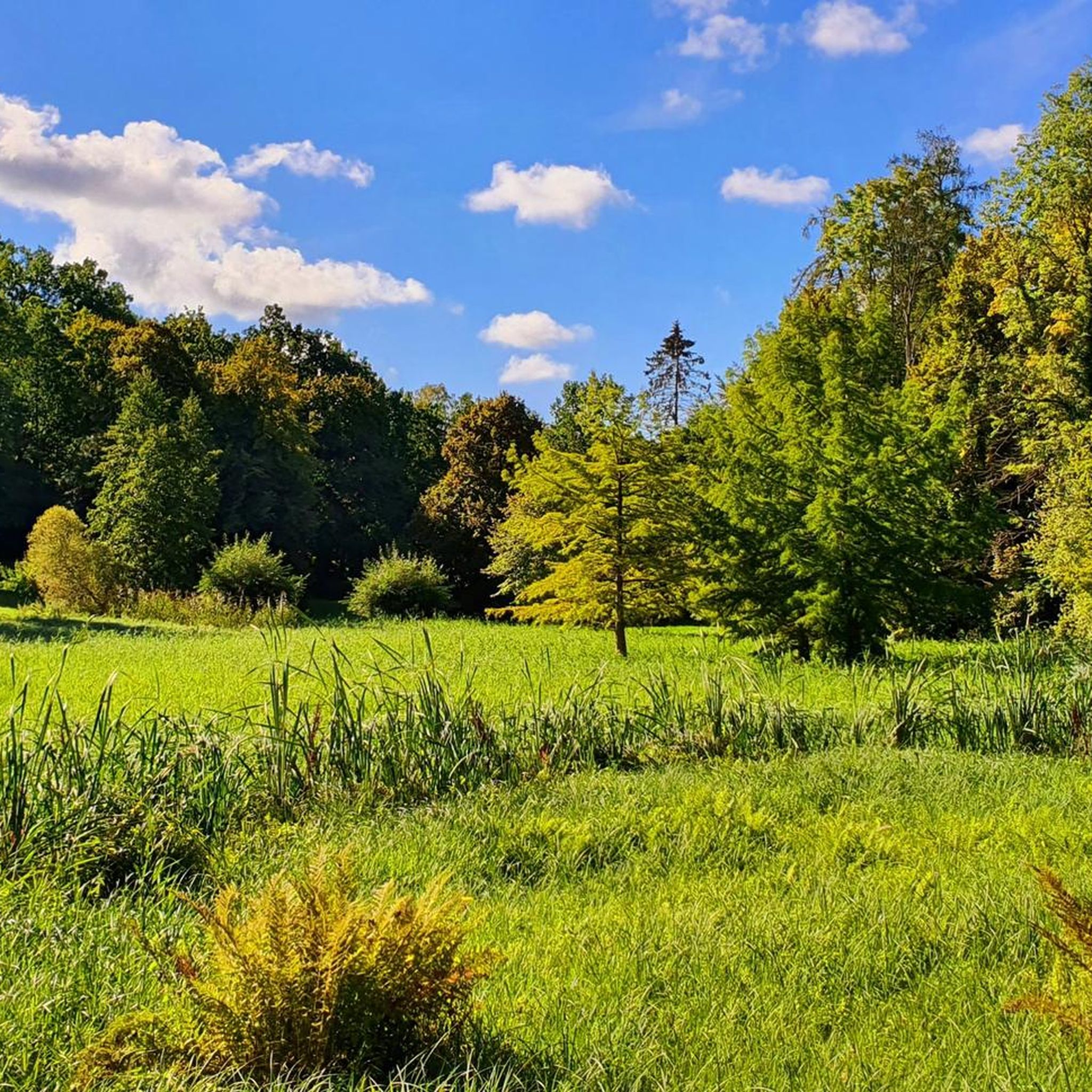
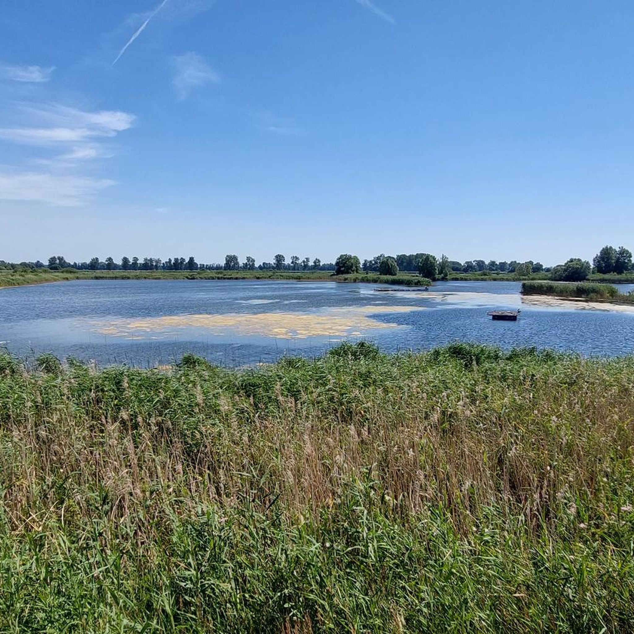
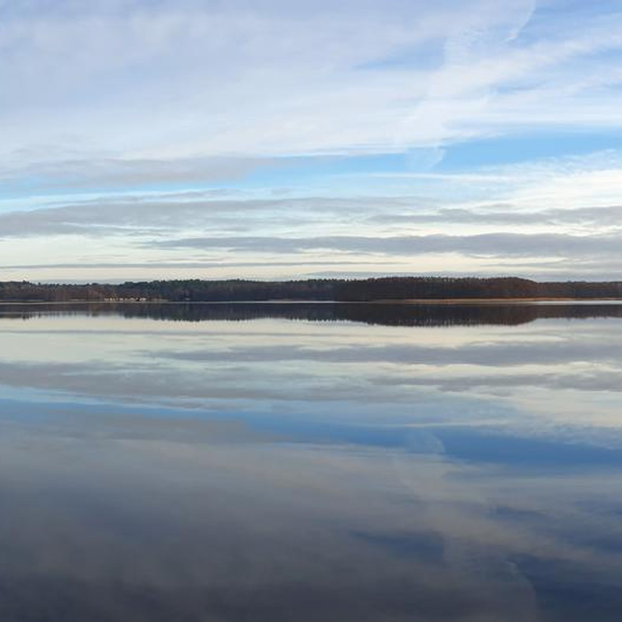
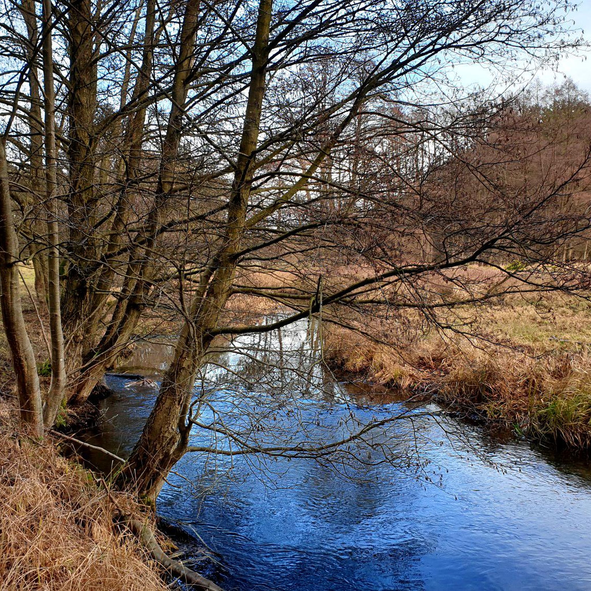
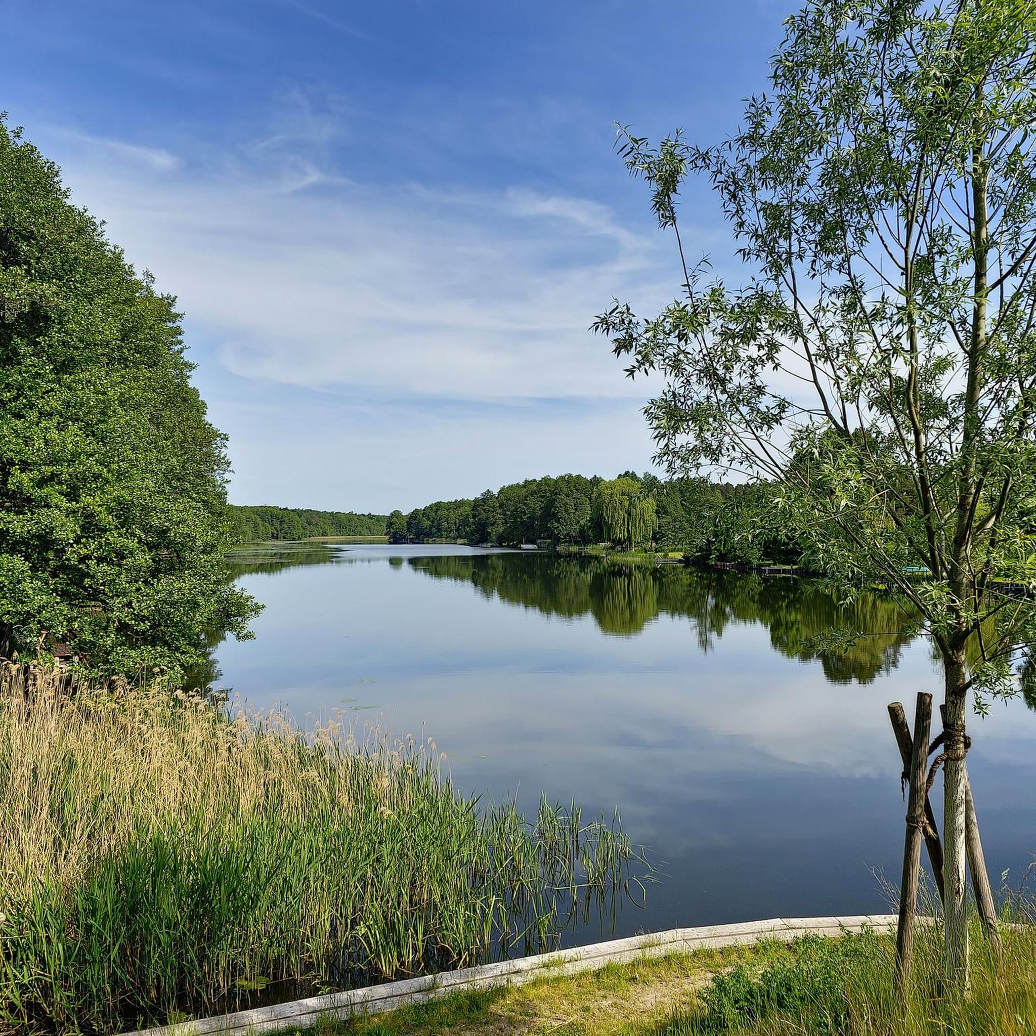
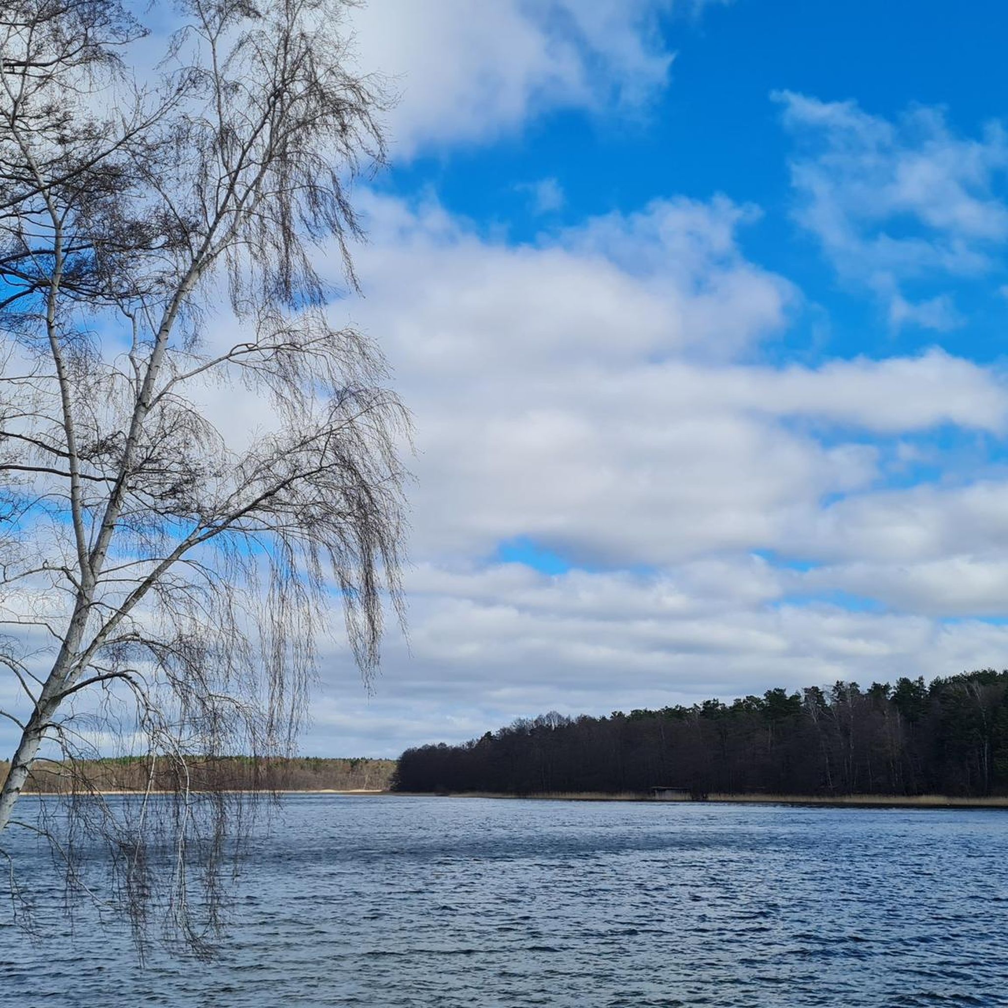
Hiking in Ostprignitz-Ruppin offers diverse natural landscapes, characterized by numerous lakes, dense forests, and expansive heathlands. The region, often referred to as the "Ruppiner Seenland," features extensive waterways like the Ruppiner See and the Rheinsberger Seengebiet. Hikers can also explore the Kyritz-Ruppiner Heide, one of Europe's largest continuous heathlands, and varied terrain in areas like Ruppiner Schweiz. This area provides a network of trails through green beech and pine forests, meadows, and along the shores of lakes.
Best hiking trails…
Last updated: August 8, 2026
4.8
(362)
990
hikers
Moderate hike. Good fitness required. Easily-accessible paths. Suitable for all skill levels.
4.8
(508)
1,651
hikers
12.3km
03:09
50m
50m
Moderate hike. Good fitness required. Easily-accessible paths. Suitable for all skill levels.

Sign up for free
4.8
(181)
568
hikers
6.94km
01:49
60m
60m
Easy hike. Great for any fitness level. Easily-accessible paths. Suitable for all skill levels.
4.8
(219)
634
hikers
Moderate hike. Good fitness required. Easily-accessible paths. Suitable for all skill levels.
4.8
(209)
607
hikers
Moderate hike. Good fitness required. Easily-accessible paths. Suitable for all skill levels.
4.8
(515)
1,664
hikers
8.73km
02:14
30m
30m
Moderate hike. Good fitness required. Easily-accessible paths. Suitable for all skill levels.
4.2
(147)
506
hikers
Moderate hike. Good fitness required. Easily-accessible paths. Suitable for all skill levels.
4.8
(102)
321
hikers
10.7km
02:49
90m
90m
Moderate hike. Good fitness required. Easily-accessible paths. Suitable for all skill levels.
4.8
(222)
751
hikers
8.31km
02:12
70m
70m
Moderate hike. Good fitness required. Easily-accessible paths. Suitable for all skill levels.
4.8
(425)
1,165
hikers
Moderate hike. Good fitness required. Easily-accessible paths. Suitable for all skill levels.
Get access to more routes and recommendations from other explorers.
Sign up for free
Already have an account?
Our route recommendations are based on thousands of hikes, rides, and runs completed by other people on komoot.
Start today with a free account
Your next adventure awaits.
Login or Signup
Other adventures in Ostprignitz-Ruppin


Tips from the Community

Beautiful natural spot for crossing the Lindower Rhin, which meets and flows through the Wutzsee here.
1
0
Wonderful paths. Simply fantastic to walk and so beautiful...
1
0

Clearest lake ever in Brandenburg.
0
0

Lindow is a nice little town, the "Süße Ecke" is recommended
0
0

Beautifully located swimming spot, will be used more often from next week 🏊🏊
0
0

The name "Rhin" (pronounced: "Rien") is not to be confused with the well-known river in France. It is a typically North German word for a slow, marshy watercourse.
0
0
The mill was first documented in 1530 and originally belonged to the Lindow convent (later the Lindow ladies' convent and office). It is one of the last remaining water and windmills in the region. In the Middle Ages, it served the monastery, which was one of the richest in the March of Brandenburg. Fires destroyed parts of the complex in 1805 and 1846; it was rebuilt afterwards. The current two-story main building dates from 1848 (or reconstruction after 1846) and is an example of Prussian rural architecture.
0
0

Beautiful lake; in the so-called black lake next door there is a fishing hut with good fish.
0
0
Frequently Asked Questions
How many hiking trails are there in Ostprignitz-Ruppin?
Ostprignitz-Ruppin offers a vast network of trails, with over 1,400 hiking routes available for exploration. These range from easy strolls to more challenging treks, catering to various experience levels.
What kind of terrain can I expect on hikes in Ostprignitz-Ruppin?
The region is characterized by diverse landscapes. You'll find numerous trails winding along the shores of its many lakes, through dense forests, and across expansive heathlands. Areas like the Ruppiner Schweiz offer more varied terrain, while the Kyritz-Ruppiner Heide provides open, heath-dominated landscapes.
Are there family-friendly hiking options in Ostprignitz-Ruppin?
Yes, Ostprignitz-Ruppin has many easy walks suitable for families. For instance, the route around Bolten Mill – View of Kalksee loop from Binenwalde is an easy 6.9 km trail that offers pleasant scenery without significant elevation changes.
Can I bring my dog on hikes in Ostprignitz-Ruppin?
Many trails in Ostprignitz-Ruppin are dog-friendly, especially those through forests and along lake shores. It's always recommended to keep dogs on a leash, particularly in nature reserves or near wildlife, and to check local regulations for specific areas.
Are there many circular hiking routes available?
Yes, circular routes are very common in Ostprignitz-Ruppin, allowing you to start and end at the same point. Examples include the Great Wummsee and Little Wummsee – View of Großer Wummsee loop from Wumm- und Twernsee or the Grienerick Lake – View of Rheinsberg Palace loop from Bungalowsiedlung "Am Rheinsberger See".
Where can I find hikes around lakes or waterways?
Ostprignitz-Ruppin is known as the "Ruppiner Seenland," so lake-side hikes are abundant. You can explore trails around the Ruppiner See, Rheinsberger Seengebiet, or take a walk around Great Zechliner Lake. The region's clear-water lakes, connected by streams and canals, offer many picturesque waterside paths.
What historical or cultural attractions can I see while hiking?
Many routes integrate historical landmarks. You can hike past Rheinsberg Palace, a Rococo-style castle, or the Wustrau Castle. The region also has connections to writer Theodor Fontane, with routes following his footsteps through the landscapes he described.
Are there any hikes with notable viewpoints?
Yes, for expansive views, consider visiting the Kyritz-Ruppiner Heide. From the 15-meter-high Heath Tower on Heinz-Sielmann-Hügel, you can enjoy panoramic vistas of the heathland. Many lake-side trails also offer beautiful scenic overlooks.
What natural parks are in the region, and can I spot wildlife?
The Stechlin-Ruppiner Land Nature Park is a significant protected area within Ostprignitz-Ruppin. Hiking through its forests, moorlands, and heathlands provides opportunities to spot wildlife such as deer, foxes, and various bird species, including rare ones like the hoopoe in the Kyritz-Ruppiner Heide.
Are there easy or beginner-friendly hikes?
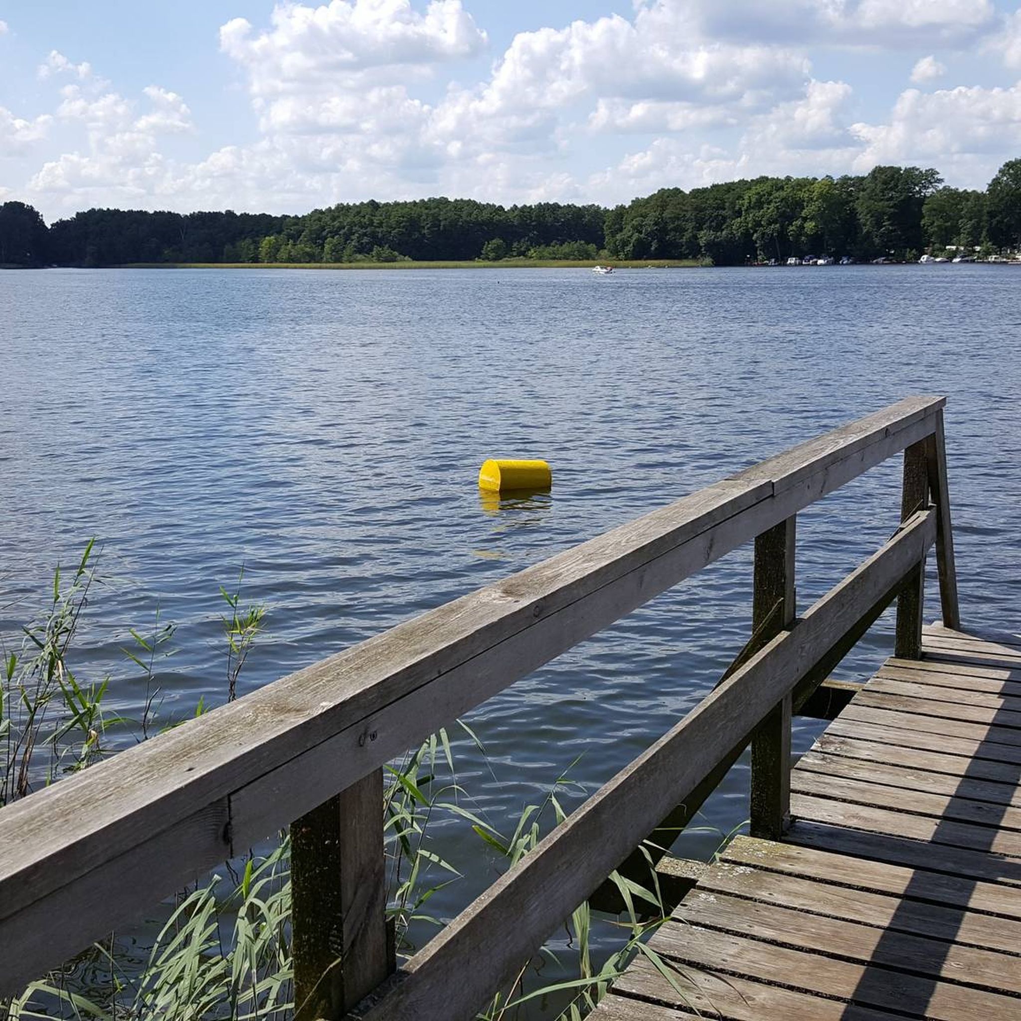
Absolutely. Ostprignitz-Ruppin offers a good selection of easy hikes. For example, the Lake Wutz – Bathing area with jetty loop from Lindow (Mark) is a moderate 8.7 km route with minimal elevation, suitable for beginners looking for a pleasant walk.
How accessible are the trailheads by public transport or car?
Many trailheads in Ostprignitz-Ruppin are accessible by car, often with designated parking areas. Public transport options, such as regional buses and trains, connect some towns and villages, providing access to various starting points for hikes. It's advisable to check specific route details for public transport connections.
When is the best time of year to go hiking in Ostprignitz-Ruppin?
Spring and autumn are particularly pleasant for hiking, with mild temperatures and beautiful natural colors. Summer offers warm weather for lake activities combined with hiking, while winter can provide unique snowy landscapes, though some trails might be less accessible.
What do other hikers enjoy most about hiking in Ostprignitz-Ruppin?
The area is highly rated by the komoot community, with an average score of 4.5 stars from over 8,800 reviews. Hikers often praise the region's tranquil lake districts, the extensive and diverse forests, and the unique open landscapes of the heathlands.
Most popular routes in Ostprignitz-Ruppin
Most popular attractions in Ostprignitz-Ruppin

Get inspired with the komoot mobile app


Didn’t find what you were looking for?
Check out more Hikes throughout Ostprignitz-Ruppin below and find the perfect route in your destination.
Explore more
Browse the best Hikes in other regions.
