The best walks and hikes around Oberwolfach
4.4
(3400)
10,289
hikers
80
hikes
Hiking around Oberwolfach, nestled in Germany's Central Black Forest, offers a diverse natural landscape characterized by varied topography. The region features gentle hills, dense forests, and the scenic Wolf valley, which branches into numerous smaller side valleys. Trails often lead through the Wolfach forest, providing varied terrain for exploration.
Best hiking trails around Oberwolfach
- The most popular hiking route is View of Oberwolfach-Walke – View of Oberwolfach Church loop from Oberwolfach, a 7.6 miles (12.3 km) trail that takes 3 hours 45 minutes to complete. This route offers expansive views of the Oberwolfach area.
- Another top favourite among local hikers is Kreuzsattel Hut – Harkhof Snack Hut loop from Kreuzsattelhütte, an easy 3.6 miles (5.8 km) path. This loop provides a pleasant walk through forest and open areas, often starting from a hut.
- Local hikers also love the Kreuzsattel Hut – Brandenkopf Lookout Tower loop from Kreuzsattelhütte, a 5.4 miles (8.7 km) trail leading through dense forest to the Brandenkopf Mountain, often completed in about 2 hours 38 minutes.
- Hiking around Oberwolfach is defined by varied topography, dense forests, and the prominent Brandenkopf Mountain. The network offers options for different ability levels, from easy strolls to more challenging routes.
- The routes in Oberwolfach are highly rated by the komoot community with an average score of 4.5 stars from over 2,700 reviews. More than 9,000 hikers have used komoot to explore Oberwolfach's varied terrain.
Last updated: October 8, 2026
4.7
(165)
454
hikers
Hard hike. Good fitness required. Sure-footedness, sturdy shoes and alpine experience required.
4.7
(154)
434
hikers
Moderate hike. Good fitness required. Easily-accessible paths. Suitable for all skill levels.

4.7
(97)
309
hikers
5.87km
01:42
150m
150m
Easy hike. Great for any fitness level. Easily-accessible paths. Suitable for all skill levels.
4.5
(48)
141
hikers
8.70km
02:38
290m
290m
Moderate hike. Good fitness required. Easily-accessible paths. Suitable for all skill levels.
4.5
(41)
129
hikers
10.4km
03:16
390m
390m
Moderate hike. Good fitness required. Easily-accessible paths. Suitable for all skill levels.
Get access to more routes and recommendations from other explorers.
Already have an account?
Our route recommendations are based on thousands of hikes, rides, and runs completed by other people on komoot.
Start today with a free account
Your next adventure awaits.
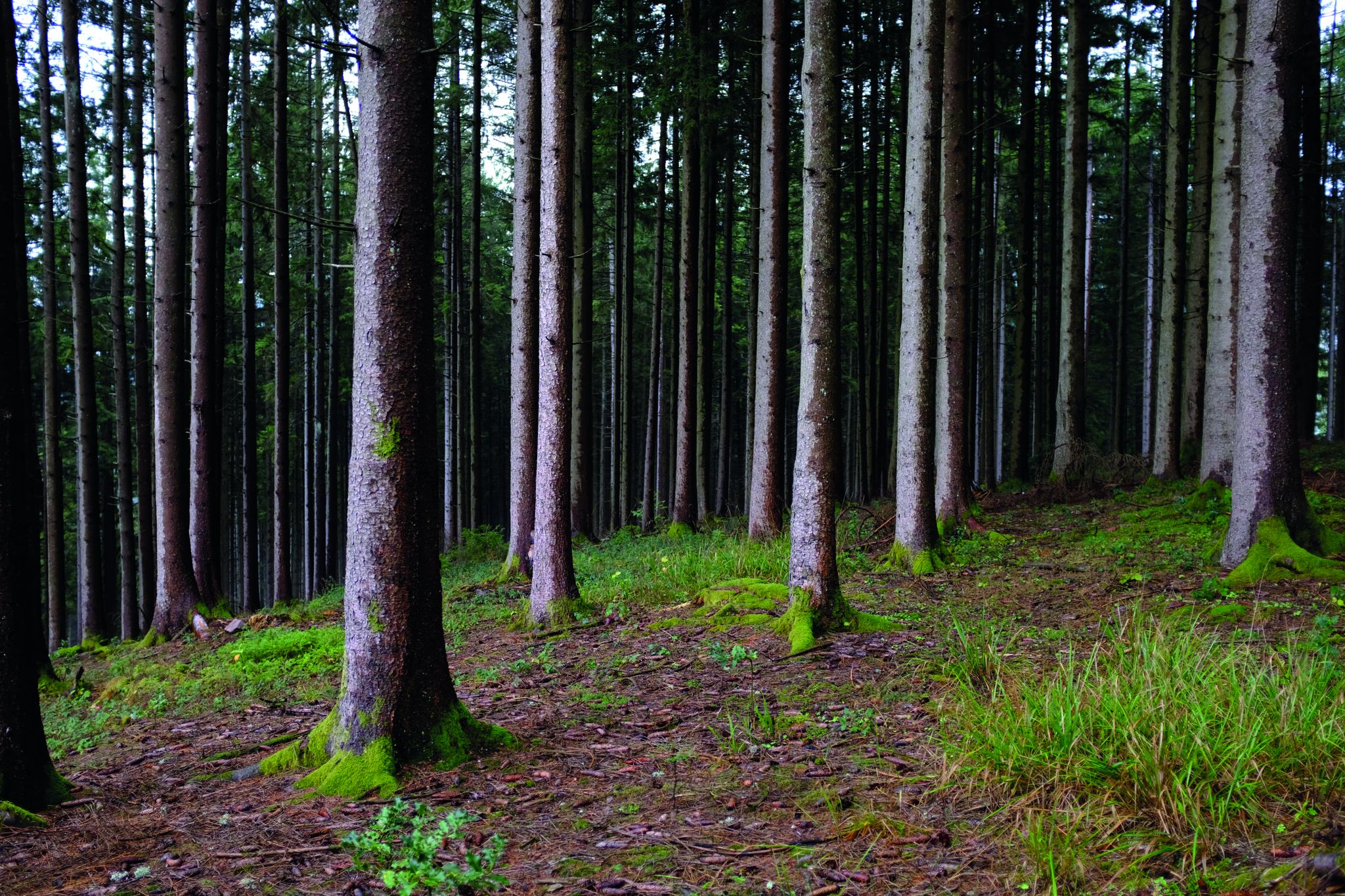
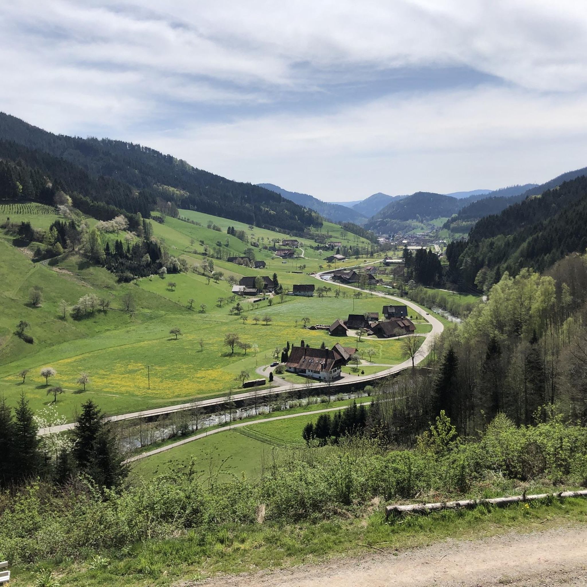
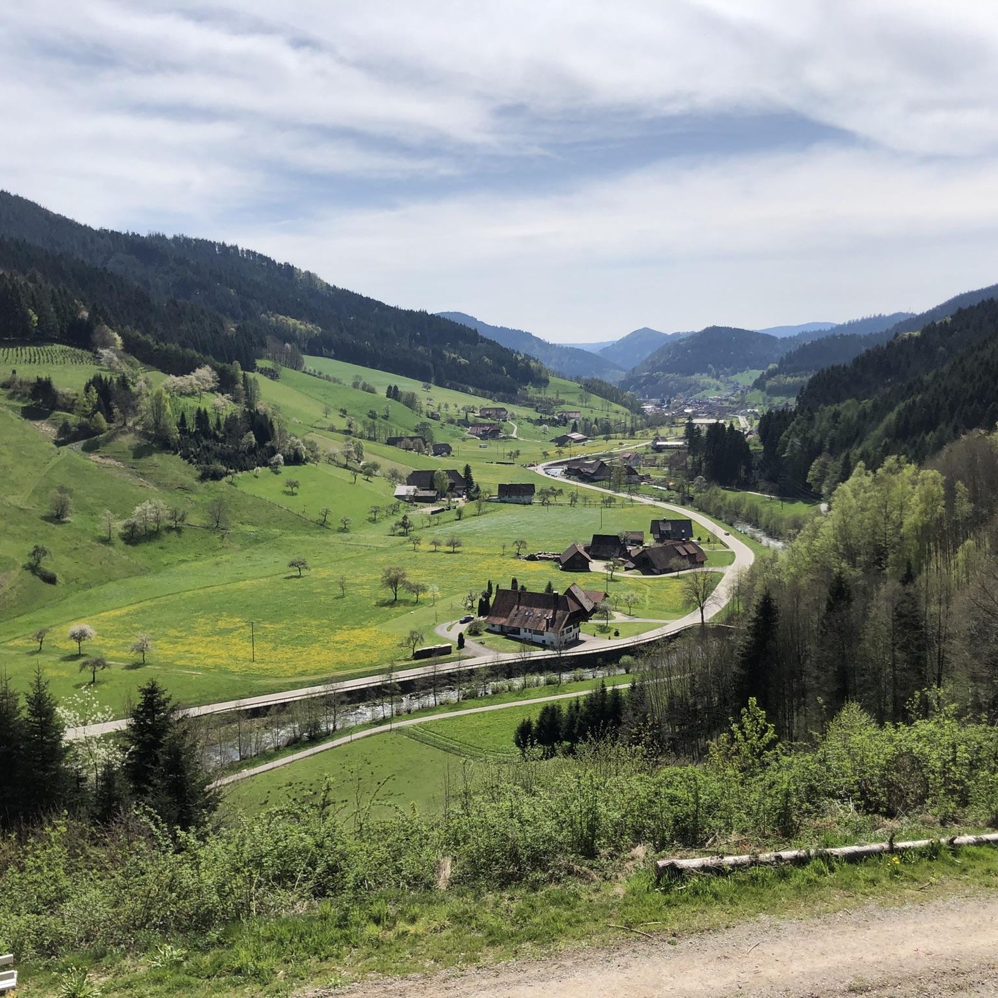

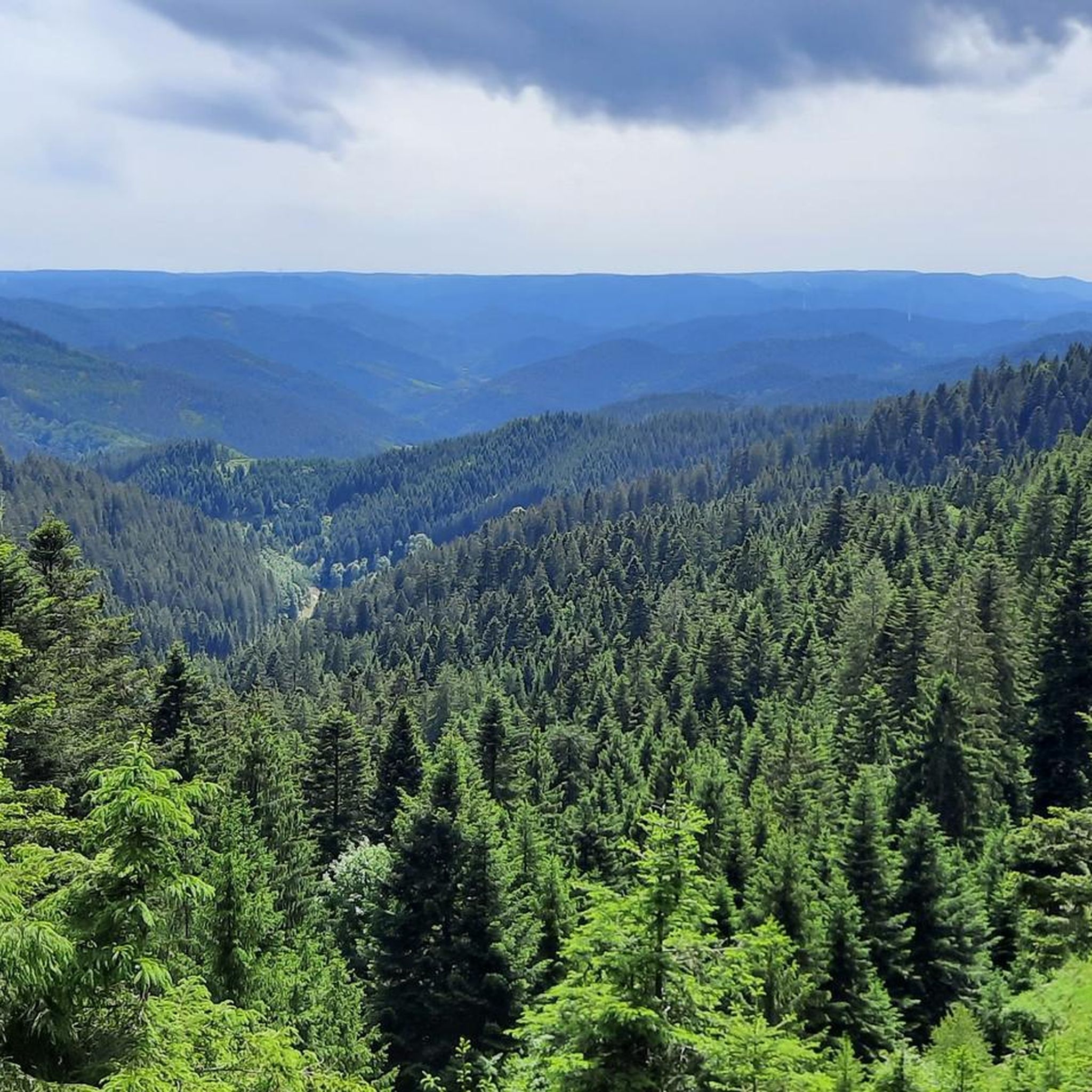

Other adventures around Oberwolfach

Tips from the Community

Unfortunately, the water only trickled a little. There are numerous such stone wells in this area.
1
0

The Brandenkopf is with 945 meters the highest elevation in the Middle Black Forest. It is located on the municipal areas of Oberharmersbach, Hausach and Fischerbach and is considered the local mountain of the Harmersbach valley. Observation tower: At the summit stands the 32-meter-high Brandenkopf Tower, a stone observation tower of the Schwarzwaldverein. From the observation platform, there is a wide panoramic view over the Black Forest to the Vosges and, in very clear weather, to the Swiss Alps. Gastronomy: Directly below the tower, the mountain inn Wanderheim Brandenkopf invites you to stop for refreshments with Black Forest specialties. Hiking & Cycling: The Brandenkopf is a popular hub for long-distance hiking trails (such as the Westweg) as well as a destination for numerous mountain bike and hiking tours from Oberharmersbach, Hausach or Zell am Harmersbach. Brandenkopf transmitter: The mountain also features a distinctive, 114-meter-high transmission tower for radio and telecommunication signals.
0
0

On the Hirzwasen stands a wayside shrine erected in 1848.
2
0

Very nice pavilion
0
0

Kaltengrabenhütte is what it says on the door... great hut with an indoor area and a covered outdoor area.
3
0

Pretty early on. Super nicely done.
2
0
A magnificent panoramic view. This view is simply breathtaking. However, we also had the weather, which allowed us to enjoy it.
4
0
Frequently Asked Questions
How many hiking trails are available around Oberwolfach?
Oberwolfach offers a wide variety of hiking opportunities, with over 70 trails recorded on komoot. These range from easy strolls to more challenging routes, catering to different fitness levels.
What kind of terrain can I expect on hikes around Oberwolfach?
The region is characterized by a diverse and picturesque natural landscape. You'll find everything from gentle hills to dense forests and breathtaking vantage points. Many trails traverse the scenic Wolf valley and the Wolfach forest, offering varied topography and beautiful natural scenery.
Are there easy hiking trails suitable for beginners or casual walkers in Oberwolfach?
Yes, Oberwolfach has plenty of easy trails. Approximately half of the routes are considered easy. An example is the Kreuzsattel Hut – Harkhof Snack Hut loop from Kreuzsattelhütte, an easy 3.6-mile (5.8 km) path that offers a pleasant walk through forest and open areas.
Are there any trails that lead to waterfalls in Oberwolfach?
Yes, the region is home to beautiful waterfalls. The Griesbach Waterfall is a notable highlight, considered one of Oberwolfach's most beautiful spots. You can find more details about it and other waterfalls like the Burgbach Waterfall and Holchen Waterfall in the area.
What are some notable viewpoints or landmarks I can see while hiking?
Oberwolfach offers several impressive viewpoints and landmarks. The Burgbachfelsen Pavilion provides great views. For panoramic vistas, consider hikes that lead to Brandenkopf Mountain, the highest mountain in the Middle Black Forest, offering incomparable views of the entire region. The Kreuzsattel Hut – Brandenkopf Lookout Tower loop from Kreuzsattelhütte is a good option for this.
Are there family-friendly hiking options in Oberwolfach?
Many trails in Oberwolfach are suitable for families. The path to the Griesbach Waterfall, for instance, is ideal for family outings. The region's varied topography includes gentle routes that are perfect for all ages to enjoy the natural beauty.
Can I bring my dog on the hiking trails in Oberwolfach?
Generally, dogs are welcome on hiking trails in the Black Forest region. However, it's always recommended to keep your dog on a leash, especially in forested areas, near wildlife, or when passing through agricultural land, to ensure safety for everyone and protect the local fauna.
Are there circular hiking routes available in Oberwolfach?
Yes, Oberwolfach boasts numerous circular hiking trails that cater to all fitness levels. These well-signposted routes often lead through picturesque villages and past idyllic lakes. Examples include the View of Oberwolfach-Walke – View of Oberwolfach Church loop from Oberwolfach and the View of Wolfach – Elmle Viewpoint with Shelter loop from Wolfach.
What is the best time of year to go hiking in Oberwolfach?
The mild climate of Oberwolfach makes it suitable for hiking throughout the year. Spring offers blooming flowers, summer provides lush green landscapes, and autumn transforms the forests into a vibrant display of colors. Even winter hikes can be beautiful, though some higher elevation trails might require appropriate gear.
Are there places to eat or rest along the hiking trails?
Yes, many of the well-signposted routes in Oberwolfach offer opportunities to stop at cozy inns or snack huts for regional specialties. For example, the Schmalzerhisli Refreshment Hut – View of the Black Forest loop from Grube Clara passes by a refreshment hut, providing a convenient stop during your hike.
What do other hikers enjoy most about hiking in Oberwolfach?
The area is highly rated by the komoot community, with an average score of 4.5 stars from over 2,700 reviews. Hikers often praise the varied topography, the dense forests, and the prominent Brandenkopf Mountain, highlighting the diverse options for different ability levels and the well-maintained paths.
Is there public transport available to reach trailheads in Oberwolfach?
While specific public transport connections to every trailhead can vary, Oberwolfach is generally accessible within the Black Forest region. For detailed information on bus and train schedules to specific starting points, it's best to consult local public transport websites or the official tourism site for the National Park Region Black Forest at nationalparkregion-schwarzwald.de.
Most popular routes around Oberwolfach
Most popular attractions around Oberwolfach

Get inspired with the komoot mobile app


Explore more
Browse the best Hikes in other regions.
