The best walks and hikes around Oberwambach
4.6
(7626)
23,597
hikers
801
hikes
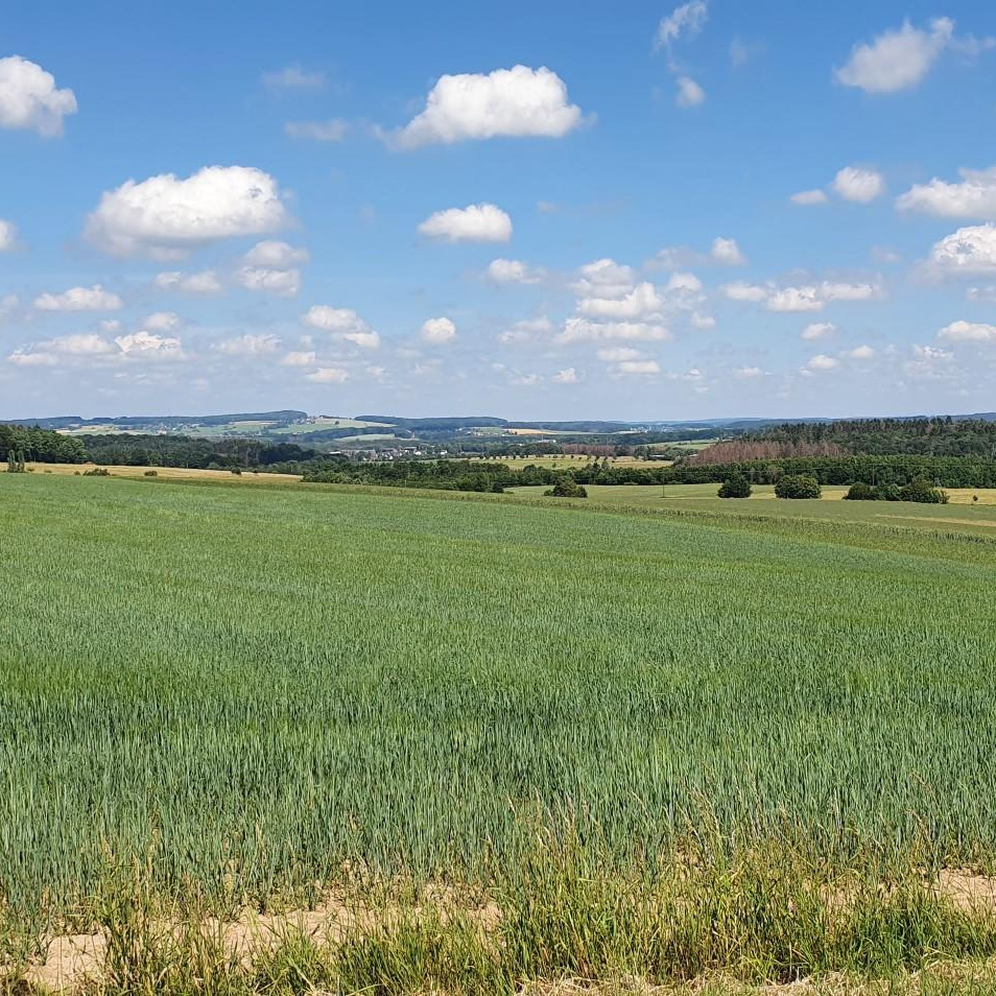
Hiking around Oberwambach reveals a landscape characterized by rolling hills, extensive forests, and river valleys, notably the Wied. The region offers varied terrain suitable for different hiking experiences, from gentle paths to more challenging ascents. These routes provide opportunities to explore the natural environment of the Westerwald.
Best hiking trails around Oberwambach
- The most popular hiking route is Wooden Bridge over the Wied – Bridge Over the Wied loop from Berod, a 15.2 miles (24.4 km) trail that takes…
Last updated: October 8, 2026
4.8
(12)
36
hikers
24.4km
06:40
370m
370m
Hard hike. Very good fitness required. Easily-accessible paths. Suitable for all skill levels.
4.8
(8)
46
hikers
17.8km
04:57
340m
340m
Moderate hike. Good fitness required. Easily-accessible paths. Suitable for all skill levels.

4.8
(70)
207
hikers
Hard hike. Very good fitness required. Easily-accessible paths. Suitable for all skill levels.
4.3
(7)
24
hikers
Moderate hike. Good fitness required. Easily-accessible paths. Suitable for all skill levels.
5.0
(4)
11
hikers
9.24km
02:30
120m
130m
Moderate hike. Good fitness required. Easily-accessible paths. Suitable for all skill levels.
Get access to more routes and recommendations from other explorers.
Already have an account?
Our route recommendations are based on thousands of hikes, rides, and runs completed by other people on komoot.
Start today with a free account
Your next adventure awaits.

Tips from the Community

The tower is very well maintained and preserved 👍 The view from here is magnificent 😄
0
0

For the big thirst
0
0

The region's cultural and historical highlight. A guided tour on Sundays is worthwhile to understand the value of the original 12th-century frescoes.
1
0

The interesting design of the house's facade and surrounding areas invites reflection. It's easy to strike up a conversation with the residents.
1
0
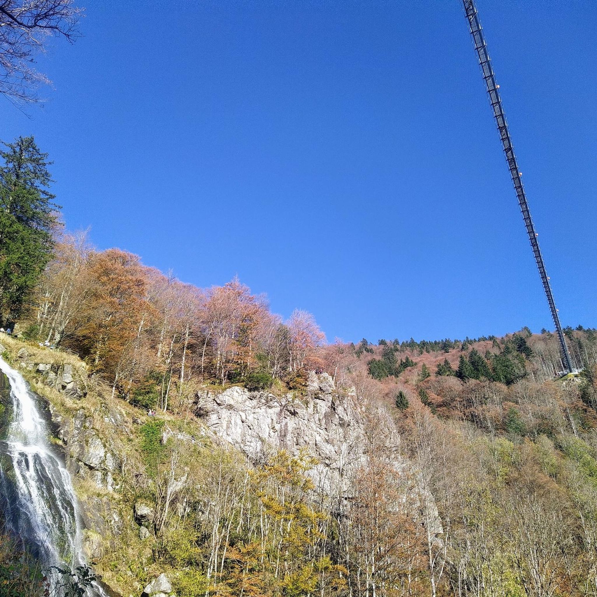
This bridge is relatively new or has been restored. The path in front of and behind the bridge is very easy to walk.
2
0
The tower can be seen from afar and offers a good orientation point.
1
0
Great view of the landscape. It's worth climbing the tower.
1
0

Nice place for a break.
2
0
Frequently Asked Questions
How many hiking trails are available around Oberwambach?
There are over 750 hiking trails in the Oberwambach area, offering a wide variety of experiences. This includes over 440 easy routes, 260 moderate trails, and 45 more challenging options.
Are there easy hiking trails suitable for beginners in Oberwambach?
Yes, Oberwambach offers numerous easy hiking trails perfect for beginners or those seeking a relaxed walk. One such option is the Grill Hut Rodenbach loop from Rodenbach bei Puderbach, which is an easy 3.8 km route.
Are there circular hiking routes in the Oberwambach region?
Many of the trails around Oberwambach are designed as circular routes, allowing you to start and end at the same point. Examples include the Pond near Alberthofen – Fish pond near Alberthofen loop from Rodenbach bei Puderbach, a moderate 8 km trail, and the Lautzert Sports Field – Die Dreispitz loop from Oberwambach, a moderate 9.2 km route.
What kind of scenery can I expect on hikes around Oberwambach?
Hiking around Oberwambach offers diverse scenery characterized by rolling hills, dense forests, and the picturesque Wied river valley. You'll find a mix of open landscapes and shaded woodland paths, providing a true Westerwald experience.
Are there any interesting landmarks or attractions to see along the hiking trails?
Yes, the region features several points of interest. You might encounter historical sites like the Reichenstein Castle Ruins Trail or enjoy natural beauty spots. The Bismarck Tower Altenkirchen – Bridge Over the Wied loop from Oberwambach offers views of the Bismarck Tower.
Can I hike with my dog in Oberwambach?
Most hiking trails in the Oberwambach area are dog-friendly, allowing you to enjoy the natural beauty with your canine companion. It's always recommended to keep dogs on a leash, especially in nature reserves or near livestock, and to carry water for them.
Are there places to eat or rest along the hiking trails?
Yes, you can find places to rest and refuel. The area has various huts and cafes. For example, the Wilhelmsteg Café & Beer Garden offers a pleasant stop, and you might find facilities like the Astert Playground, Grill Hut, and Rest Area.
What is the best time of year to hike in Oberwambach?
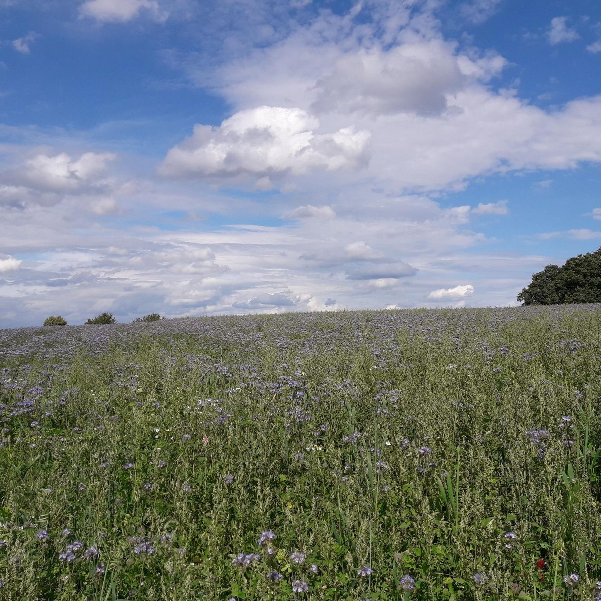
The Oberwambach region is beautiful year-round. Spring brings blooming wildflowers, summer offers lush green forests, autumn showcases vibrant fall foliage, and even winter can be magical with snow-covered landscapes. The best time depends on your preference for weather and scenery.
Are there options for winter hiking in Oberwambach?
Yes, many trails in Oberwambach are suitable for winter hiking, offering a peaceful and scenic experience. Be sure to check weather conditions, trail accessibility, and wear appropriate footwear and clothing for potentially icy or snowy paths.
Where can I find parking for hiking trails in Oberwambach?
Parking is generally available at trailheads and in the villages surrounding Oberwambach. Many routes start from easily accessible locations, often near public parking areas or designated hiking car parks.
What do other hikers enjoy most about hiking in Oberwambach?
The hiking trails around Oberwambach are highly rated by the komoot community, with an average score of 4.6 stars from over 6,000 reviews. Hikers often praise the well-maintained paths, the diverse natural landscapes, and the tranquility of the Westerwald forests and river valleys.
How long do hikes typically take around Oberwambach?
Hike durations vary significantly. Easy routes like the Grill Hut Rodenbach loop can be completed in just over an hour. Longer, more challenging trails, such as the Wooden Bridge over the Wied – Bridge Over the Wied loop from Berod, can take over 6 hours to complete.
Most popular routes around Oberwambach
Most popular attractions around Oberwambach

Get inspired with the komoot mobile app


Explore more
Browse the best Hikes in other regions.
