The best walks and hikes around Oberrüti
4.6
(1693)
14,193
hikers
708
hikes
Hiking around Oberrüti offers diverse landscapes, primarily defined by its proximity to the Reuss River. The region features accessible riverside trails, varied terrain including paths through forests, and opportunities for viewpoints. These natural features contribute to a network of trails suitable for different hiking preferences.
Best hiking trails around Oberrüti
- The most popular hiking route is Reuss Bridge Sins – St. Wolfgang Church and Hamlet loop from Hünenberg, a 6.9 miles (11.1 km) trail that takes 2 hours 53 minutes to complete. This moderate route follows the Reuss River and passes historical landmarks.
- Another top favourite among local hikers is Reuss Riverside Trail – Binz Mill loop from Hünenberg, an easy 3.7 miles (6.0 km) path. This trail offers a serene environment along the Reuss River, suitable for relaxed walks.
- Local hikers also love the Reuss Bridge Sins – St. Wolfgang Church and Hamlet loop from Sins, a 7.3 miles (11.7 km) trail leading through the riparian landscape of the Reuss River, often completed in about 3 hours 3 minutes.
- Hiking around Oberrüti is defined by the Reuss River, varied terrain, and accessible viewpoints. The network offers options for different ability levels, from easy strolls to more moderate routes.
- The routes in Oberrüti are highly rated by the komoot community with an average score of 4.6 stars from over 1,500 reviews. More than 14,000 hikers have used komoot to explore Oberrüti's varied terrain.
Last updated: May 15, 2026
4.8
(5)
41
hikers
6.03km
01:36
60m
60m
Easy hike. Great for any fitness level. Easily-accessible paths. Suitable for all skill levels.
5.0
(6)
30
hikers
Moderate hike. Good fitness required. Easily-accessible paths. Suitable for all skill levels.

Sign up for free
4.3
(4)
29
hikers
Moderate hike. Good fitness required. Easily-accessible paths. Suitable for all skill levels.
5.0
(5)
38
hikers
13.8km
03:32
50m
50m
Moderate hike. Good fitness required. Easily-accessible paths. Suitable for all skill levels.
3.8
(5)
32
hikers
Moderate hike. Good fitness required. Easily-accessible paths. Suitable for all skill levels.
Get access to more routes and recommendations from other explorers.
Sign up for free
Already have an account?
Our route recommendations are based on thousands of hikes, rides, and runs completed by other people on komoot.
Start today with a free account
Your next adventure awaits.
Login or Signup
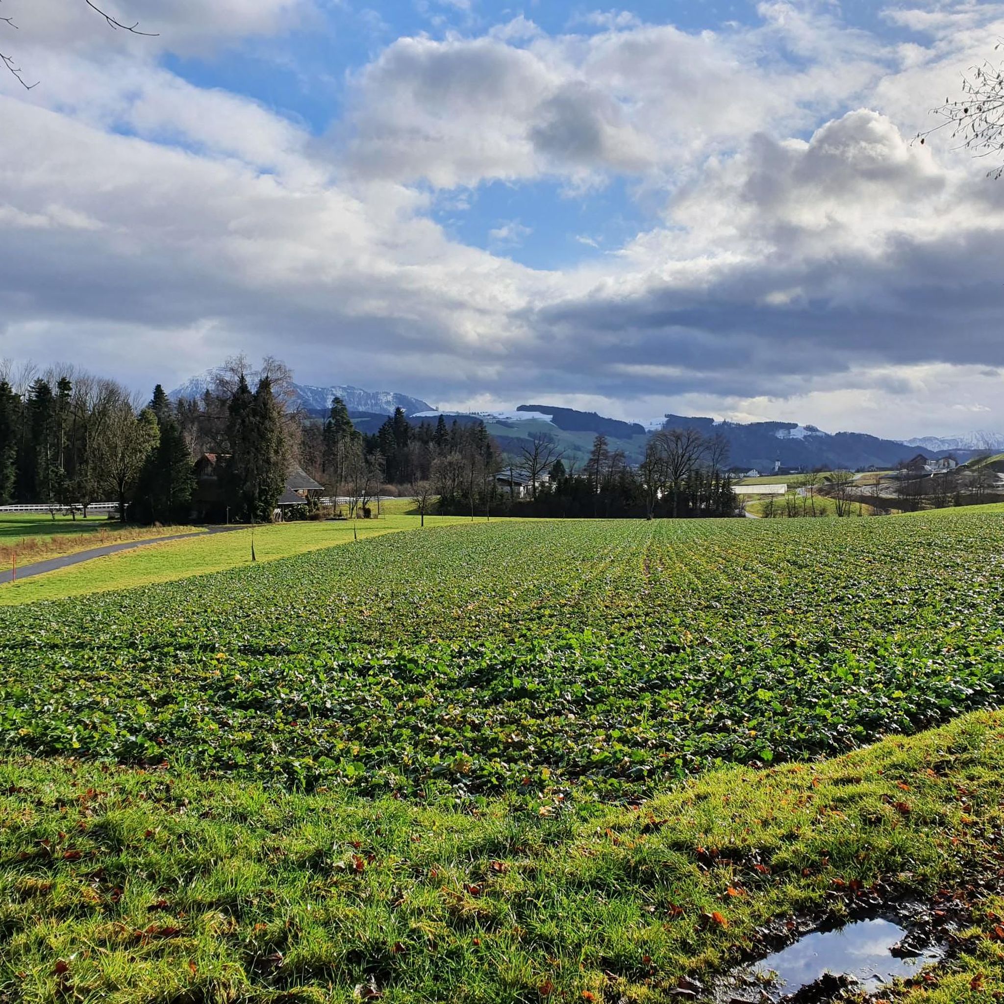
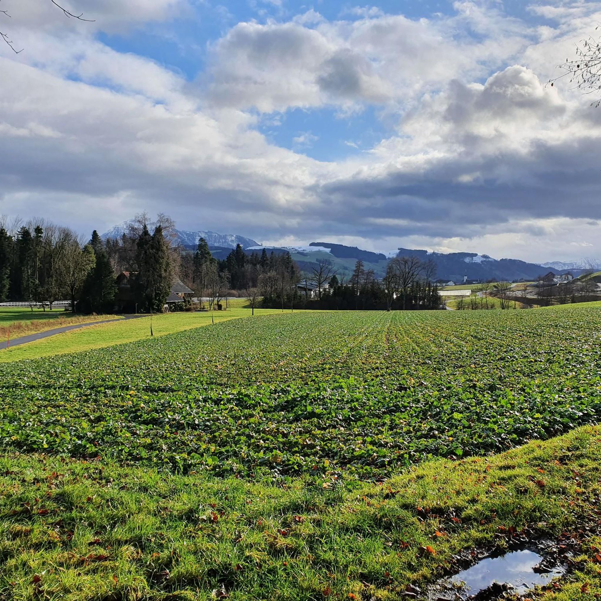
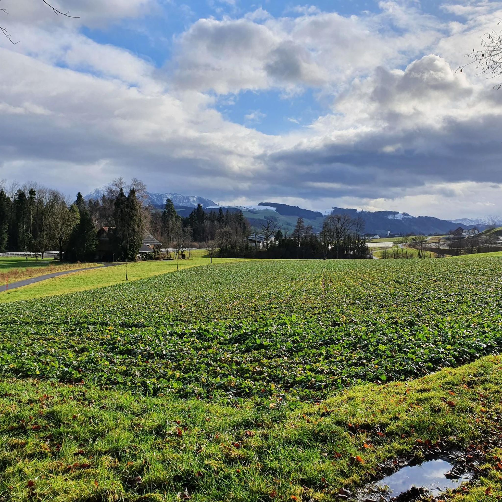

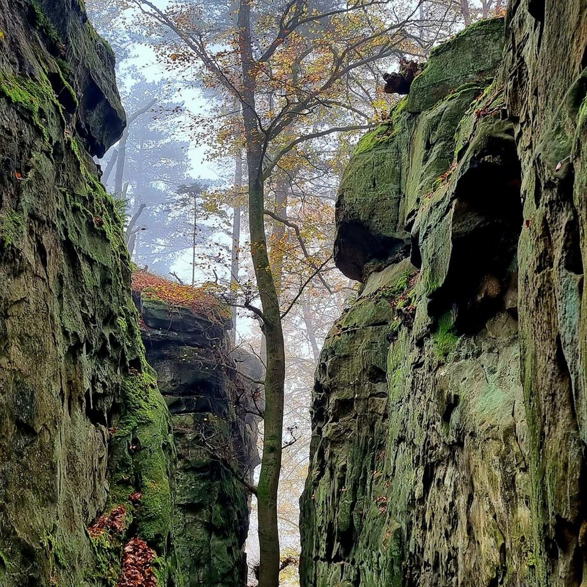
Tips from the Community

Easily accessible directly in the Reussrank!
0
0

They are currently building. Nevertheless, cormorants, ducks, and signs of a beaver can be seen.
0
0

The Vineyard Chapel belongs to the Hünenberg Chäppeligenossen (Church Guild) and was consecrated in 1771. It is a private chapel, in which 14 families from the village of Hünenberg participate. 🤩 Very beautiful view and tranquility!
0
0

A cool hike concludes with a visit to the Zollhuus restaurant. A lovely garden restaurant with regional delicacies. www.zoll-huus.ch
2
0

beautiful nature park on the way to Rigi
0
0
Beautiful facade, building with history
1
0

The path runs for several kilometers along the Reuss dam. This is lined with magnificent trees and wild plants. There are several gravel and sand banks along the way, as well as small barbecue areas. On the other side of the Reuss, a somewhat narrow path leads directly along the water, with a view of the prominent river, the mountains, open fields and meadows. Here and there you cross a forest, which guarantees a welcome cooling off on hot days.
1
0
Frequently Asked Questions
How many hiking trails are available in Oberrüti?
Oberrüti offers a wide selection of hiking opportunities, with over 700 routes available. These trails cater to various preferences, from easy strolls to more challenging excursions through diverse landscapes.
What kind of terrain can I expect on hikes around Oberrüti?
The terrain around Oberrüti is quite varied, primarily defined by its proximity to the Reuss River. You'll find easily accessible riverside trails, paths winding through forests, and routes leading to scenic viewpoints. The area offers a mix of flat sections along the river and gentle ascents to higher ground.
Are there easy hiking trails suitable for beginners or relaxed walks in Oberrüti?
Yes, Oberrüti is well-suited for beginners and those seeking relaxed walks. Over 400 of the available routes are classified as easy. A great example is the Reuss Riverside Trail – Binz Mill loop from Hünenberg, an easy 3.7-mile (6.0 km) path that offers a serene environment along the Reuss River.
Can I find circular hiking routes in Oberrüti?
Many of the hiking trails in Oberrüti are designed as circular routes, allowing you to start and end at the same point. For instance, the Reuss Bridge Sins – St. Wolfgang Church and Hamlet loop from Sins is a popular circular trail that leads through the riparian landscape of the Reuss River.
Are the hiking trails in Oberrüti suitable for families with children?
Yes, Oberrüti offers many family-friendly options, especially along the Reuss River. The easily accessible paths and relatively flat terrain of routes like the Reuss Riverside Trail – Binz Mill loop from Hünenberg are ideal for families looking for a pleasant outdoor experience.
Are dogs allowed on the hiking trails around Oberrüti?
Generally, dogs are welcome on hiking trails in the Oberrüti region. However, it's always advisable to keep them on a leash, especially in nature protection areas, near livestock, or in crowded sections. Please be mindful of local regulations and other hikers.
What are some notable natural features or attractions I can see while hiking in Oberrüti?
While hiking around Oberrüti, you'll primarily enjoy the beautiful riparian landscape of the Reuss River. The broader region also offers access to stunning natural features. You might encounter views of Lake Zug, which is known for its beautiful sunsets, or even distant panoramas of Lake Lucerne and Mount Pilatus from certain viewpoints. For a specific attraction, consider visiting Hoben Alpine Farm, which is nearby.
Are there any viewpoints along the hiking trails in Oberrüti?
Yes, the region around Oberrüti offers several opportunities for scenic viewpoints. While the immediate riverside trails are generally flat, routes that venture slightly higher, such as those from the Bireggwald area, can provide expansive views, including an 'Oberrüti viewpoint' that offers panoramas of Lake Lucerne and Mount Pilatus.
How can I reach the hiking trails in Oberrüti using public transport?
Oberrüti is generally well-connected. Public transport options, including bus services, can take you to the vicinity of many trailheads. It's recommended to check local bus schedules to plan your journey to specific starting points for the hiking routes.
Is parking available near the hiking trailheads in Oberrüti?
Parking facilities are typically available in and around Oberrüti, especially near popular starting points for hiking trails and in the village center. However, availability can vary, so it's a good idea to check for designated parking areas before your hike, especially during peak seasons.
What is the best time of year to go hiking in Oberrüti?
The hiking season in Oberrüti is generally pleasant from spring through autumn. Spring brings lush greenery, while autumn offers vibrant colors. Summer is also popular, though riverside trails can be busy. Winter hiking is possible, especially on cleared paths, but conditions can vary, so check local weather and trail reports.
Are there options for longer or more challenging hikes in the Oberrüti area?
While many trails are easy to moderate, Oberrüti does offer options for longer and slightly more challenging hikes. For example, the Reussdamm Nature Trail – Reuss River Path loop from Sins is a moderate 8.6-mile (13.8 km) route. The broader region also includes parts of the multi-day Freiämterweg, indicating opportunities for more extensive trekking.
Where can I find places to eat or drink near the hiking trails in Oberrüti?
You'll find various cafes and restaurants in Oberrüti and the surrounding villages like Sins and Hünenberg, which are often starting or ending points for hikes. These establishments offer opportunities to refuel and relax after your walk. For a specific nearby option, consider Hoben Alpine Farm.
What do other hikers say about their experience in Oberrüti?
The hiking trails in Oberrüti are highly rated by the komoot community, with an average score of 4.6 stars from over 1,500 reviews. Hikers often praise the serene environment along the Reuss River, the well-maintained paths, and the diverse scenery that makes for enjoyable walks.
Most popular attractions around Oberrüti

Get inspired with the komoot mobile app


Explore more
Browse the best Hikes in other regions.
