The best cycling routes around Oberpöring
4.5
(211)
769
riders
37
rides
Touring cycling routes around Oberpöring, located in the district of Deggendorf, Germany, traverse a landscape characterized by rolling hills and dense forests. The region is bordered by the Isar River and features varied terrain including the Isar and Vils river valleys. This setting provides diverse cycling experiences across gentle hills and along riverbanks.
Best touring cycling routes around Oberpöring
- The most popular touring cycling route is Bockerlbahn Cycle Path – Vilskanal Bridge loop from Oberpöring, a 26.9 miles (43.3…
Last updated: August 6, 2026
4.8
(149)
390
riders
Easy bike ride. Great for any fitness level. Mostly paved surfaces. Suitable for all skill levels.
4.7
(32)
126
riders
43.3km
03:03
280m
280m
Moderate bike ride. Good fitness required. Mostly paved surfaces. Suitable for all skill levels.

Sign up for free
4.5
(15)
47
riders
73.7km
04:21
260m
260m
Moderate bike ride. Good fitness required. Mostly paved surfaces. Suitable for all skill levels.
4.5
(6)
36
riders
38.4km
02:16
100m
100m
Moderate bike ride. Good fitness required. Mostly paved surfaces. Suitable for all skill levels.
5.0
(2)
10
riders
35.0km
02:02
70m
70m
Moderate bike ride. Good fitness required. Mostly paved surfaces. Suitable for all skill levels.
Get access to more routes and recommendations from other explorers.
Sign up for free
Already have an account?
Our route recommendations are based on thousands of hikes, rides, and runs completed by other people on komoot.
Start today with a free account
Your next adventure awaits.
Login or Signup
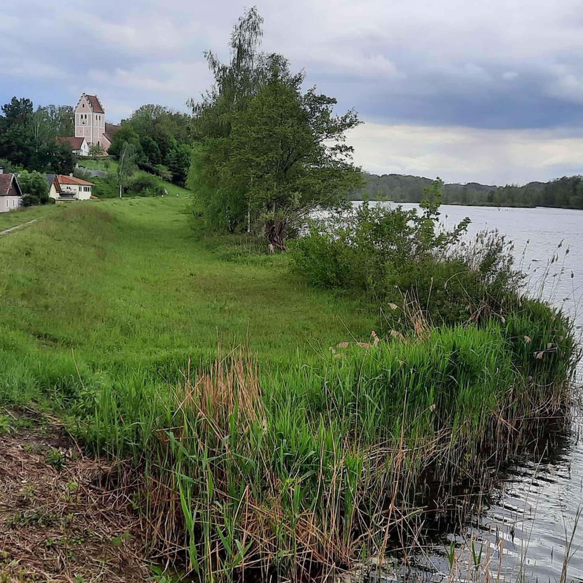
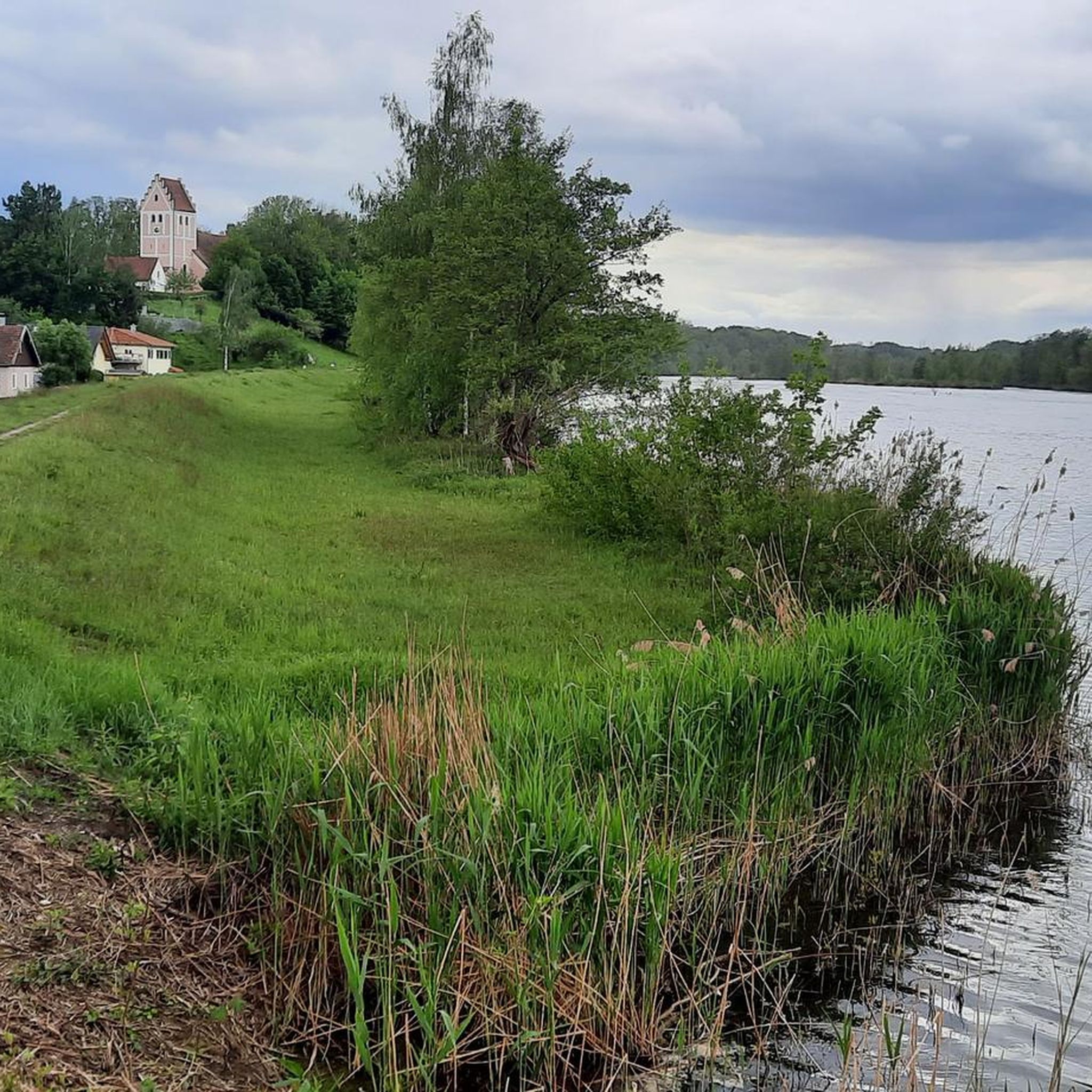
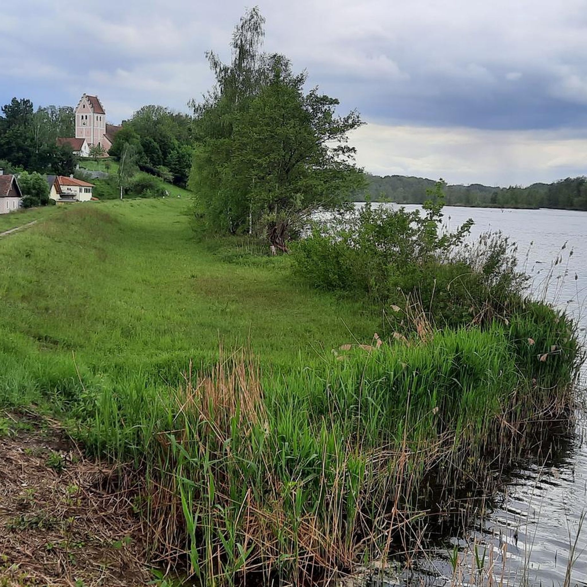
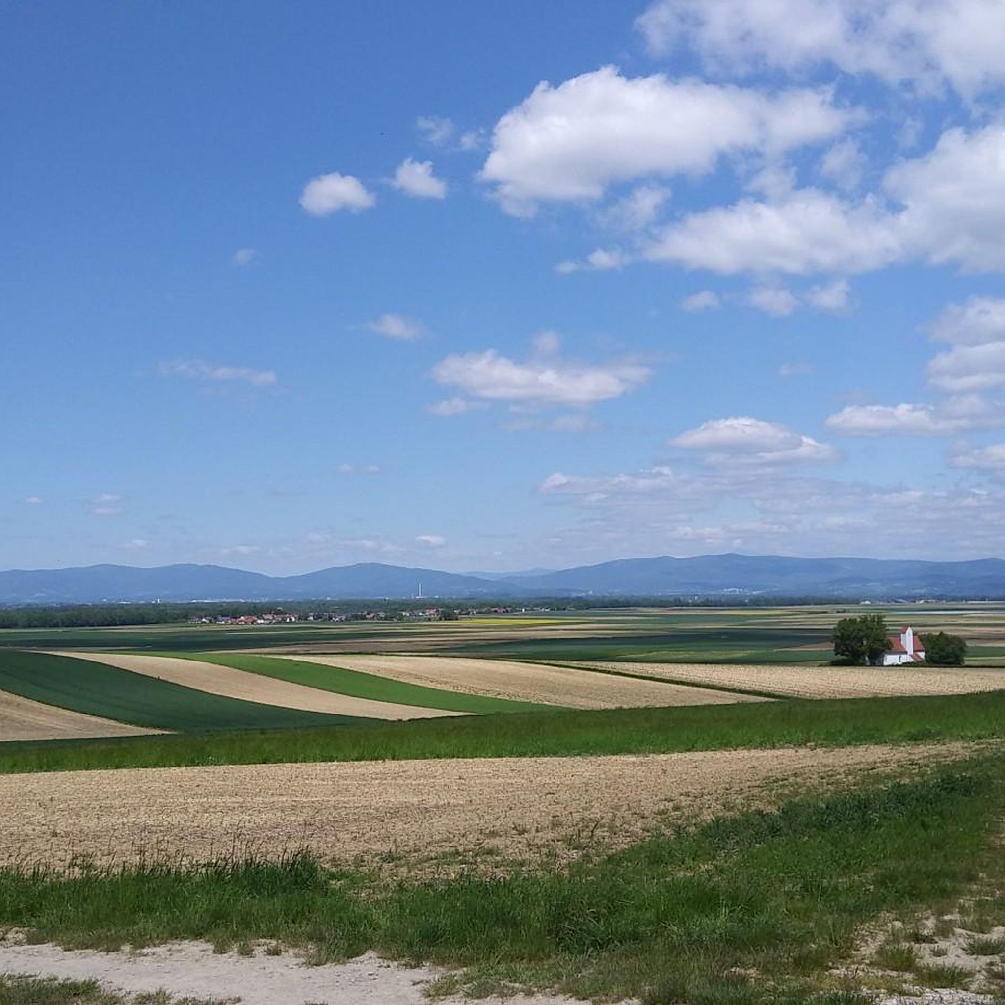
Tips from the Community

Very varied river cycle path with lots of shade and a good, stable surface. Lots of nature!
0
0

Directly on the river, good place to stay overnight with a campervan
0
0

Imposing dam for power generation.
0
0

The Hilgartsberg is primarily known for the castle ruins of the same name, which majestically perch on a steep slope above the Danube in the Lower Bavarian market town of Hofkirchen (Passau district). It is considered one of the most historic sites in the region.
0
0

Inn P51 in Eichendorf
0
0

The parish church was built in 1899 and is dedicated to Saint Lawrence, Deacon of Rome.
0
0

Finish line for "Radler" fans... let's go
1
0
A lot of nature that is worth looking at not only with your head on the speedometer
3
0
Frequently Asked Questions
How many touring cycling routes are available around Oberpöring?
There are over 35 touring cycling routes around Oberpöring. The majority of these routes are classified as easy or moderate, with 17 easy routes and 19 moderate routes, making the area accessible for various skill levels.
What kind of terrain can I expect on touring cycling routes near Oberpöring?
The terrain around Oberpöring is characterized by rolling hills and dense forests, with significant portions traversing the scenic Isar and Vils river valleys. You'll find varied experiences, from gentle riverside paths to routes with moderate elevation changes, offering a diverse cycling landscape.
Are there any circular touring cycling routes in the Oberpöring area?
Yes, many routes around Oberpöring are designed as loops. For example, the Danube Riverside – Vils Riverside Trail loop from Oberpöring (VGem) offers a longer circular tour through two river valleys. Another popular option is the Bockerlbahn Cycle Path – Bockerlbahn Cycle Path loop from Oberpöring, which follows a historic railway line.
What are some family-friendly touring cycling options around Oberpöring?
For families, routes along the river valleys are often ideal due to their generally flatter profiles. The Zeholfing Isar Bridge – Lower Isar Fishermen's Educational Trail loop from Oberpöring is a moderate 21.3 km path that offers views of the Isar River and passes an educational trail, providing points of interest for younger riders. Many of the 17 easy routes are also suitable for families.
Can I bring my dog on the touring cycling routes in Oberpöring?
Generally, dogs are welcome on most public cycling paths in Germany, including those around Oberpöring, provided they are kept on a leash and under control. Always ensure your dog is comfortable with the distance and terrain, and carry water for them. Specific rules may apply in nature reserves, so check local signage.
What is the best time of year for touring cycling in Oberpöring?
The best time for touring cycling in Oberpöring, and Lower Bavaria in general, is typically from spring through autumn (April to October). During these months, the weather is usually mild and pleasant, and the natural landscapes, especially the river valleys and forests, are at their most beautiful. Winter cycling is possible but may be limited by snow and ice.
Are there any interesting landmarks or natural attractions to see along the cycling routes?
Yes, the region offers several points of interest. You can cycle past the Bockerl Bridge in Landau an der Isar, an industrial monument. The St. Joseph's Chapel (Landau an der Isar) offers a peaceful spot with views. Nature lovers will appreciate the Floodplain landscape on the Isar Cycle Path near Oberpöring and the Isar Wave Plattling. The area also provides access to the larger Bavarian Forest National Park for more extensive natural experiences.
Where can I find parking for touring cycling routes in Oberpöring?
Parking is generally available in and around Oberpöring, particularly at trailheads or designated public parking areas within the town and surrounding villages. Many routes, like the Citizens' Hospital – Plattling loop from Oberpöring (VGem), often start from accessible points where parking can be found. Look for signs indicating 'Parkplatz' or 'P' for parking facilities.
Are there places to eat or stay overnight along the touring cycling routes?
Yes, the region around Oberpöring, including towns like Landau an der Isar and Plattling, offers traditional restaurants, breweries, and cafes where you can enjoy regional specialties. For overnight stays, there are accommodations available, some of which are part of the 'Bett+Bike' program, catering specifically to cyclists. It's advisable to check for options in advance, especially along popular routes like the Isar Cycle Path.
What do other touring cyclists enjoy most about cycling in Oberpöring?
The touring cycling routes around Oberpöring are highly rated by the komoot community, with an average score of 4.6 stars from over 60 reviews. Cyclists often praise the picturesque river valleys, the blend of gentle hills and dense forests, and the well-maintained paths that offer diverse and enjoyable experiences for all ability levels.
Are there any long-distance cycle paths accessible from Oberpöring?
Yes, Oberpöring provides excellent access to significant long-distance cycle paths. The renowned Isar Cycle Path, a 299 km journey from the Isar's source to its mouth in Deggendorf, passes nearby, offering extensive routes along the vibrant green river. The Danube Cycle Path is also within reach, providing further opportunities for longer tours.
What is the elevation profile like on the touring routes?
The touring routes around Oberpöring feature a mix of gentle and moderate elevation changes. For instance, the Isarmündung Nature Reserve – Plattling loop from Oberpöring has an elevation gain of around 100 meters, while the Bockerlbahn Cycle Path – Bockerlbahn Cycle Path loop from Oberpöring involves about 300 meters of ascent. This variety ensures engaging rides without overly strenuous climbs, fitting the 'gentle hills' characteristic of the region.
Most popular routes around Oberpöring
Most popular attractions around Oberpöring

Get inspired with the komoot mobile app


Explore more
Browse the best Cycling routes in other regions.
