The best MTB trails around Oberleichtersbach
4.5
(189)
566
riders
66
rides
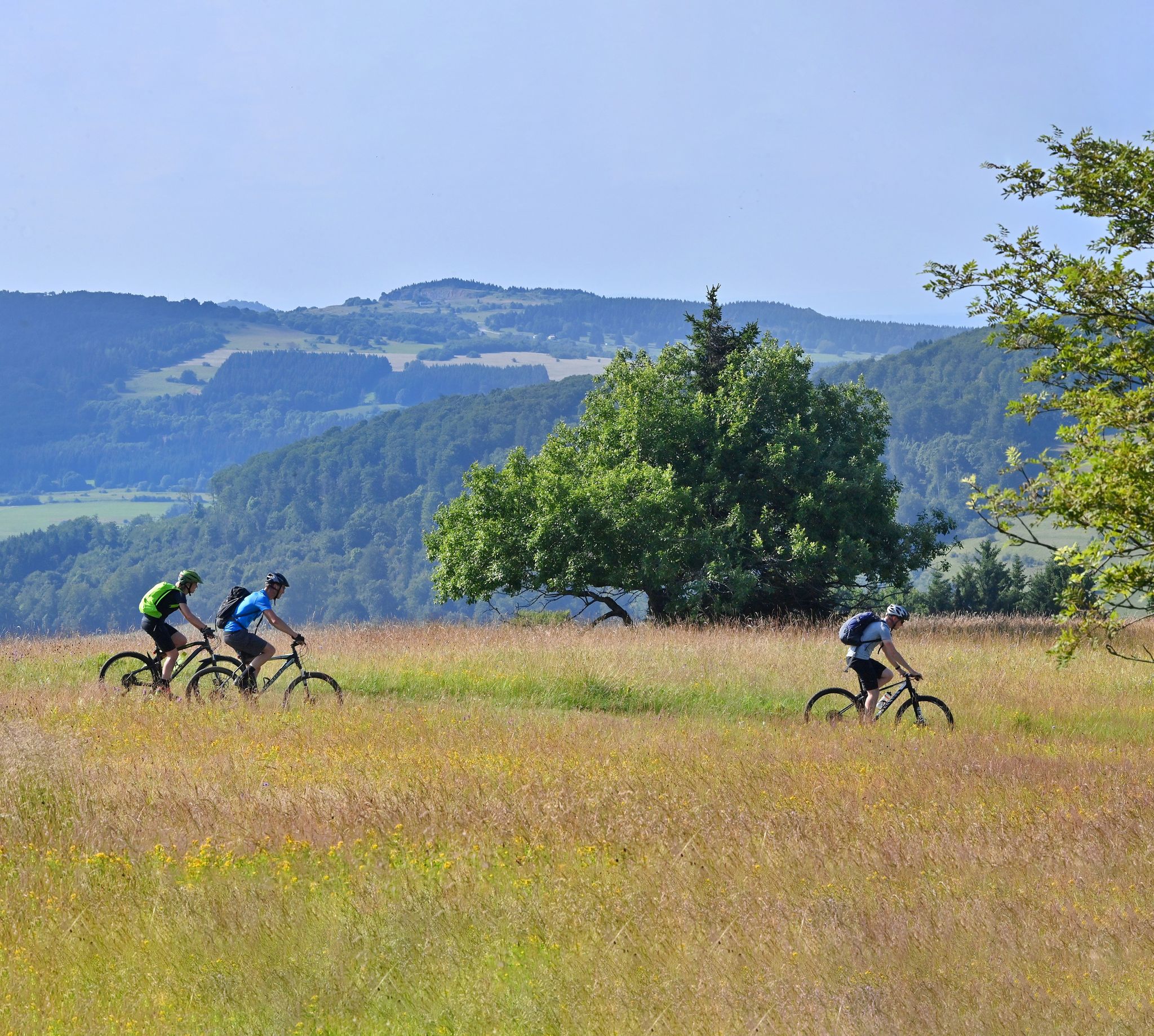
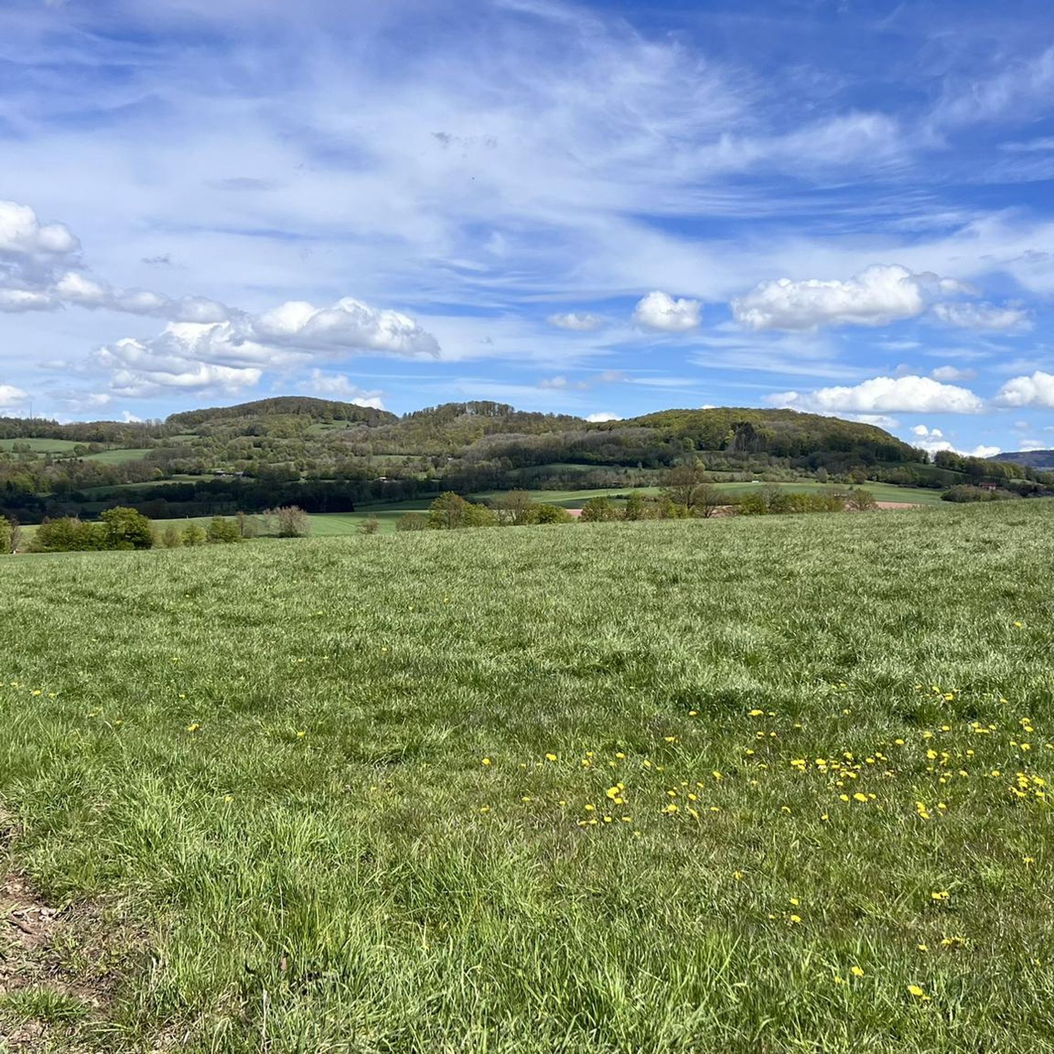
Mountain biking around Oberleichtersbach offers diverse terrain within the Bavarian Rhön Nature Park. The region is characterized by rolling hills, dense forests, and picturesque river valleys, providing varied landscapes for outdoor activities. Situated in the Adelsberger Wald, it features a low mountain range geology with elevation changes suitable for mountain biking.
Best mountain bike trails around Oberleichtersbach
- The most popular mountain bike trail is Rhoen MTB Circuit 7 | Heegkopfrunde - Unterleichtersbach, a 19.0 miles (30.6 km) trail that…
Last updated: October 1, 2026
4.8
(12)
32
riders
30.6km
02:44
470m
470m
Moderate mountain bike ride. Good fitness required. Advanced riding skills necessary.
4.9
(49)
136
riders
48.0km
04:14
980m
980m
Hard mountain bike ride. Very good fitness required. Advanced riding skills necessary.

4.2
(18)
40
riders
Moderate mountain bike ride. Good fitness required. Advanced riding skills necessary.
4.5
(4)
20
riders
38.0km
02:55
520m
520m
Moderate mountain bike ride. Good fitness required. Suitable for all skill levels.
4.7
(24)
56
riders
28.8km
02:22
510m
510m
Moderate mountain bike ride. Good fitness required. Advanced riding skills necessary.
Get access to more routes and recommendations from other explorers.
Already have an account?
Our route recommendations are based on thousands of hikes, rides, and runs completed by other people on komoot.
Start today with a free account
Your next adventure awaits.

Other adventures around Oberleichtersbach

Tips from the Community

It is an interesting section of the path. I suspect that people have immortalized themselves here who ensured that we can wander through the forest with pleasant thoughts. My thanks go out to them.
0
0

Unfortunately, the crate of drinks will no longer be offered until further notice. Such a sign from the local association.
0
0


A truly beautiful mill in the Schondra Valley. Absolutely worth a visit.
0
0
You HAVE to drive here! Simply amazing and pure nature.
0
0

It's nice that these drink crates are being restocked. 👍🏻 I hope everyone is honest about these very fair prices. (My shandy was delicious. 🍻)
0
0
Great view. Drinks box with great prices!
0
0
Frequently Asked Questions
How many mountain bike trails are there around Oberleichtersbach?
There are nearly 80 mountain bike trails around Oberleichtersbach, offering a wide range of options for different skill levels. The region is known for its diverse terrain within the Bavarian Rhön Nature Park.
Are there easy mountain bike trails suitable for beginners in Oberleichtersbach?
Yes, Oberleichtersbach offers 15 easy mountain bike trails, perfect for beginners or those looking for a more relaxed ride. These routes typically feature rolling hills and scenic forest paths, allowing you to enjoy the natural beauty of the Adelsberger Wald.
What kind of challenging mountain bike trails can I find in Oberleichtersbach?
For experienced riders, there are 7 difficult mountain bike trails around Oberleichtersbach. These routes often include significant elevation gains and technical sections, such as the View of Volkersberg – Kleine Haube loop from Dreistelzer Forst, which covers 48.5 km with nearly 1000 meters of ascent. The low mountain range geology provides varied and demanding terrain.
Are there any circular mountain bike routes in the area?
Yes, many of the mountain bike trails around Oberleichtersbach are circular routes, allowing you to start and end at the same point. A popular example is the Rhoen MTB Circuit 7 | Heegkopfrunde - Unterleichtersbach, a moderate 30.6 km loop offering panoramic views and passing a basalt lake.
What are the best seasons for mountain biking in Oberleichtersbach?
The best seasons for mountain biking in Oberleichtersbach are generally spring, summer, and autumn. Spring offers lush greenery, while autumn provides vibrant foliage. Summers are pleasant, but it's always advisable to check local weather conditions, especially after heavy rain, as some unpaved sections might become muddy.
What scenic viewpoints or natural attractions can I see along the trails?
Many trails offer breathtaking views and pass by interesting natural features. You can find routes that lead to the Platzer Kuppe summit for excellent all-round views, or pass by the unique Basalt Lake Tintenfass. The region's rolling hills and dense forests provide a picturesque backdrop for your rides.
Are there any family-friendly mountain biking options in Oberleichtersbach?
While many trails are moderate to difficult, families can find suitable options among the 15 easy routes. The broader Rhön region also features adventure trails like the 'Pure Nature' trail, which explores streams and forests, offering a child-friendly outdoor experience. When planning, look for routes with less elevation gain and smoother terrain.
What do other mountain bikers enjoy most about the trails in Oberleichtersbach?
The mountain bike trails in Oberleichtersbach are highly rated by the komoot community, with an average score of 4.6 stars from over 170 reviews. Riders often praise the diverse terrain, the scenic beauty of the Bavarian Rhön Nature Park, and the well-maintained network of paths that cater to various skill levels.
Are there places to eat or drink along the mountain bike routes?
The region around Oberleichtersbach, being part of the Rhön, has various villages and towns that may offer cafes, pubs, or traditional inns. While specific routes might not have facilities directly on the trail, planning your ride to pass through or near a town like Oberleichtersbach itself or nearby communities will provide opportunities for refreshments.
Can I reach the mountain bike trailheads using public transport?
While specific public transport connections directly to all trailheads might be limited, the Rhön region has some public transport options. For example, the 'Rhönexpress Rail Cycle Path' utilizes a former railway line, suggesting some accessibility. It's recommended to check local bus schedules or regional train connections to nearby towns and plan your route accordingly.
What is the typical length and duration of mountain bike trails in Oberleichtersbach?
Mountain bike trails in Oberleichtersbach vary significantly in length and duration. You can find shorter routes like the View of the Teufels Tintenfass – Rhön Mountain Lodge loop from Oberleichtersbach, which is 26.4 km and takes around 2 hours, up to longer, more challenging rides such as the Hunting lodge at the edge of the forest – Giant Bench Near Obererthal loop from Dreistelzer Forst, spanning nearly 59 km and taking over 4 hours.
What kind of terrain can I expect on the mountain bike trails?
The terrain around Oberleichtersbach is characterized by rolling hills, dense forests, and picturesque river valleys within a low mountain range. You can expect a mix of forest paths, gravel tracks, and some unpaved sections. The region's geological makeup provides varied surfaces, from smooth sections to more technical, root-filled singletracks, especially in the forested areas.
Most popular routes around Oberleichtersbach
Most popular attractions around Oberleichtersbach

Get inspired with the komoot mobile app


Explore more
Browse the best MTB trails in other regions.
