The best walks and hikes around Oberdorf im Burgenland
4.6
(206)
1,553
hikers
213
hikes
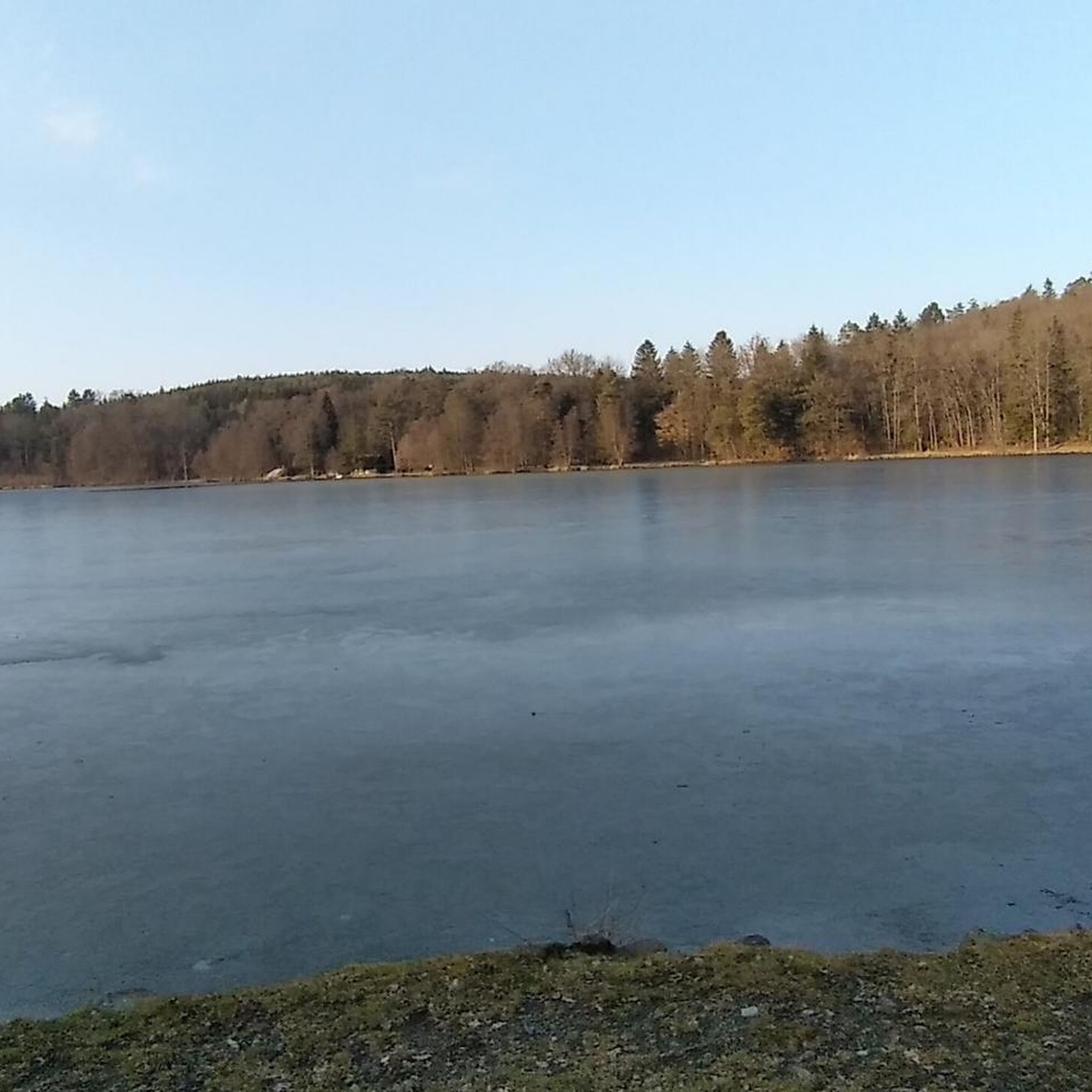
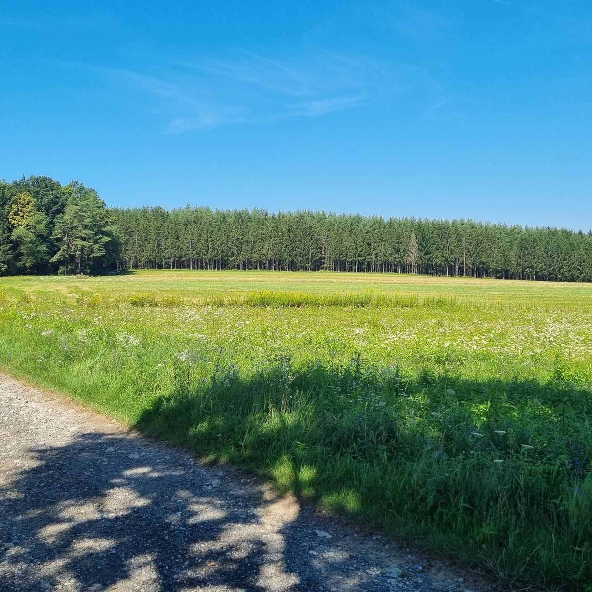
Hiking trails around Oberdorf im Burgenland are situated at the foot of the Geschriebenstein, between the foothills of the Alps and the Pannonian lowlands. This geographical position provides a diverse landscape, featuring rolling hills, expansive plains, and forested areas. The region is characterized by well-marked paths that traverse gentle hills, meadows, and forests, offering varied terrain for outdoor activities. Notable natural features include the Geschriebenstein, the Rotenturm-Oberdorfer Fish Ponds, and the surrounding Günser Mountains.
Best hiking trails around Oberdorf im Burgenland
- The most popular hiking route is Großer Teich – KOI — Dining by the Pond loop from Oberdorf im Burgenland, a 5.1 miles (8.2 km) trail that takes 2 hours 18 minutes to complete. This moderate route features an elevation gain of 520 feet (159 meters).
- Another top favourite among local hikers is Culinary delights by the pond – KOI — Dining by the Pond loop from Rotenturm an der Pinka, a moderate 6.7 miles (10.8 km) path. This route offers views of the local ponds and surrounding countryside, with an elevation gain of 612 feet (187 meters).
- Local hikers also love the Koi Ponds Oberdorf – KOI — Dining by the Pond loop from KOI, a 3.2 miles (5.1 km) trail leading through the tranquil pond areas, often completed in about 1 hour 19 minutes. This easy route has a minimal elevation gain of 80 feet (24 meters).
- Hiking around Oberdorf im Burgenland is defined by rolling hills, expansive plains, and tranquil fish ponds. The network offers options for various ability levels, from easy strolls to moderate climbs.
- The routes in Oberdorf im Burgenland are highly rated by the komoot community with an average score of 4.6 stars from over 200 reviews. More than 1500 hikers have used komoot to explore Oberdorf im Burgenland's varied terrain.
Last updated: May 14, 2026
5.0
(3)
9
hikers
7.92km
02:13
150m
150m
Moderate hike. Good fitness required. Easily-accessible paths. Suitable for all skill levels.
6
hikers
5.13km
01:19
20m
20m
Easy hike. Great for any fitness level. Easily-accessible paths. Suitable for all skill levels.

Sign up for free
5.0
(2)
9
hikers
Moderate hike. Good fitness required. Easily-accessible paths. Suitable for all skill levels.
3
hikers
Easy hike. Great for any fitness level. Easily-accessible paths. Suitable for all skill levels.
1
hikers
7.38km
02:01
110m
110m
Moderate hike. Good fitness required. Easily-accessible paths. Suitable for all skill levels.
Get access to more routes and recommendations from other explorers.
Sign up for free
Already have an account?
Our route recommendations are based on thousands of hikes, rides, and runs completed by other people on komoot.
Start today with a free account
Your next adventure awaits.
Login or Signup

Tips from the Community

Beautiful view and the perfect place for a break
0
0

Also called Baumgartner Kreuz. Named after the noble donor.
0
0

A stone Jesus cross in memory of the fallen of the World Wars.
0
0
At the square below the church - and next to the castle - you will find the Marian column. It dates from the second half of the 17th century.
0
0
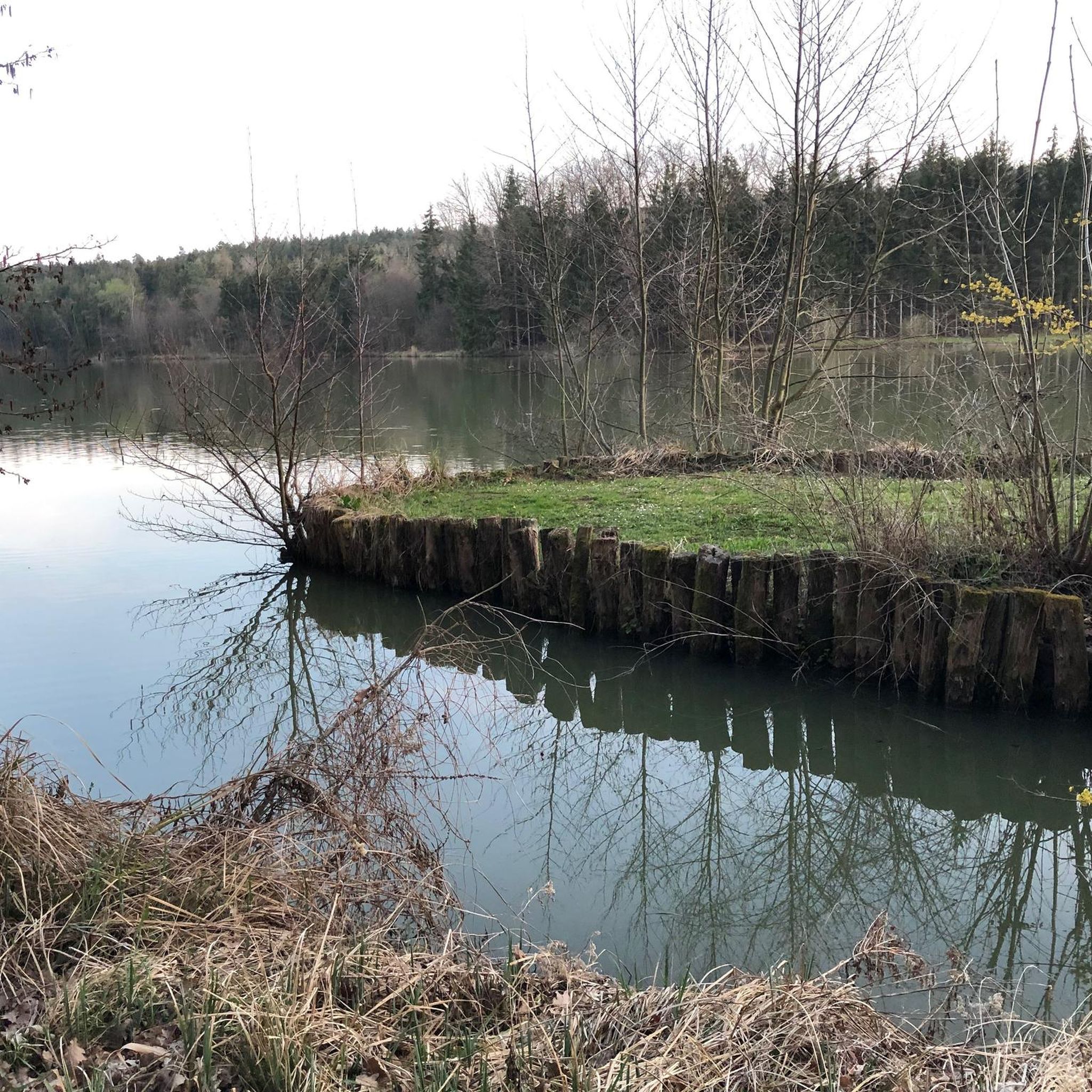
Here you can take a leisurely break during a pond circuit and let your soul dangle...
0
0
Here you will pass a Jesus cross and a place to rest.
0
0
Just below the church you will find the local monument commemorating the fallen of the World Wars.
0
0
Beautiful church in an elevated position. We only hiked past it, but we liked what we saw.
0
0
Frequently Asked Questions
What types of hiking trails can I expect in Oberdorf im Burgenland?
Oberdorf im Burgenland offers a diverse landscape for hiking, situated between the foothills of the Alps and the Pannonian lowlands. You'll find well-marked paths traversing gentle hills, meadows, and forests, with options ranging from easy strolls around tranquil fish ponds to moderate climbs with varied terrain.
Are there easy hiking trails suitable for beginners or families in Oberdorf im Burgenland?
Yes, there are many easy trails. For instance, the Koi Ponds Oberdorf – KOI — Dining by the Pond loop from KOI is an easy 3.2-mile (5.1 km) route with minimal elevation gain, perfect for a relaxed walk. The region also features the 'Nature Pure' themed hiking trail, which is ideal for families with educational discovery stations.
What is the best time of year to go hiking in Oberdorf im Burgenland?
The best seasons for hiking in Oberdorf im Burgenland are spring, when nature is in full bloom, and autumn, which offers mild weather and vibrant foliage. The region generally enjoys over 300 days of sunshine annually, making it pleasant for outdoor activities.
Are there any circular hiking routes available?
Yes, many routes in the area are circular. A popular moderate option is the Großer Teich – KOI — Dining by the Pond loop from Oberdorf im Burgenland, which covers 5.1 miles (8.2 km) and takes about 2 hours 18 minutes. Another moderate circular route is Culinary delights by the pond – KOI — Dining by the Pond loop from Rotenturm an der Pinka, offering views of local ponds.
What natural features or landmarks can I see while hiking in the area?
Hikers can enjoy a variety of natural features and landmarks. The region is known for its tranquil fish ponds, such as the Rotenturm-Oberdorfer Fish Ponds. You can also find trails leading to the picturesque Maria Bild Pilgrimage Church, or explore the educational wine trail. The highest mountain in Burgenland, the Geschriebenstein, offers impressive panoramic views from its peak.
Are there any specific attractions or points of interest near the hiking trails?
Yes, there are several attractions. You can visit KOI — Dining by the Pond, or explore Rotenturm Castle. The area also features various ponds like Fuchsschweifteich Pond and Stieber Pond, which are popular for their serene environments.
How many hiking routes are available in Oberdorf im Burgenland?
There are over 200 hiking routes available around Oberdorf im Burgenland, catering to various skill levels. This includes approximately 130 easy routes, nearly 80 moderate routes, and a few more challenging options.
What do other hikers say about the trails in Oberdorf im Burgenland?
The routes in Oberdorf im Burgenland are highly rated by the komoot community, with an average score of 4.6 stars from over 200 reviews. Hikers often praise the well-marked paths, the diverse scenery of rolling hills and tranquil ponds, and the overall pleasant outdoor experience.
Are there any trails that offer good viewpoints?
Yes, the region's diverse landscape, situated at the foot of the Geschriebenstein and Günser Mountains, provides many opportunities for scenic views. The summit of the Geschriebenstein, for example, offers impressive panoramic views of the entire surrounding area. Trails through the gentle hills also provide expansive vistas of the Pannonian lowlands.
Can I access hiking trails in Oberdorf im Burgenland using public transport?
While specific public transport connections directly to trailheads may vary, Oberdorf im Burgenland is part of a well-developed region. It's advisable to check local bus schedules or regional transport options to reach the starting points of your chosen hikes.
Are there any cafes or restaurants near the hiking trails for a break?
Yes, you can find places to refresh. For example, KOI — Dining by the Pond is a highlight in the area, offering a spot to eat by the water. There are also other local establishments that cater to hikers, especially in and around the villages.
What is the typical difficulty level of hikes in Oberdorf im Burgenland?
The majority of hikes in Oberdorf im Burgenland are classified as easy or moderate. Out of over 200 routes, about 130 are easy and nearly 80 are moderate, making the area accessible for most fitness levels. There are only a few difficult trails.
Most popular routes around Oberdorf im Burgenland
Most popular attractions around Oberdorf im Burgenland

Get inspired with the komoot mobile app


Explore more
Browse the best Hikes in other regions.
