The best road cycling routes around Nörvenich
4.4
(1200)
10,594
riders
28
rides
Road cycling around Nörvenich offers routes through the flat to gently rolling landscape of the Rhenish Loess Plateau. The region is characterized by open fields, agricultural lands, and scattered villages, with low elevation gains making it suitable for various skill levels. Road bike trails Nörvenich with elevation are generally mild, featuring gradual ascents rather than steep climbs. The area provides a network of paved roads connecting historical sites and rural vistas.
Best road cycling routes around Nörvenich
- The most popular…
Last updated: October 7, 2026
5.0
(3)
18
riders
Moderate road ride. Great for any fitness level. Some segments of this route may be unpaved and difficult to ride.
5.0
(1)
11
riders
41.3km
01:41
120m
120m
Moderate road ride. Great for any fitness level. Some segments of this route may be unpaved and difficult to ride.

5.0
(1)
10
riders
Moderate road ride. Great for any fitness level. Some segments of this route may be unpaved and difficult to ride.
5.0
(2)
15
riders
22.6km
00:55
60m
60m
Easy road ride. Great for any fitness level. Mostly well-paved surfaces and easy to ride.
8
riders
48.8km
02:04
210m
210m
Moderate road ride. Good fitness required. Mostly well-paved surfaces and easy to ride.
Get access to more routes and recommendations from other explorers.
Already have an account?
Our route recommendations are based on thousands of hikes, rides, and runs completed by other people on komoot.
Start today with a free account
Your next adventure awaits.

Tips from the Community


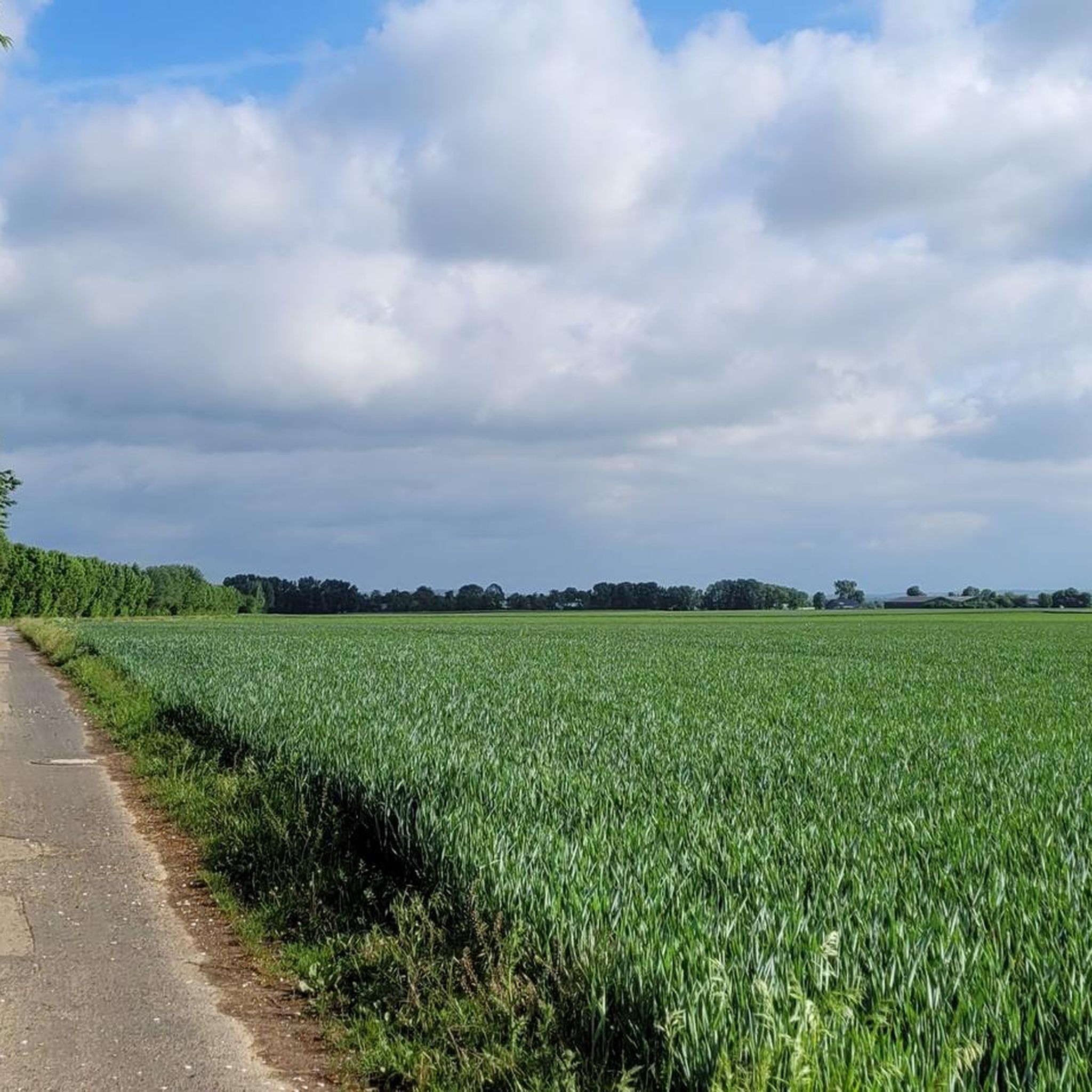
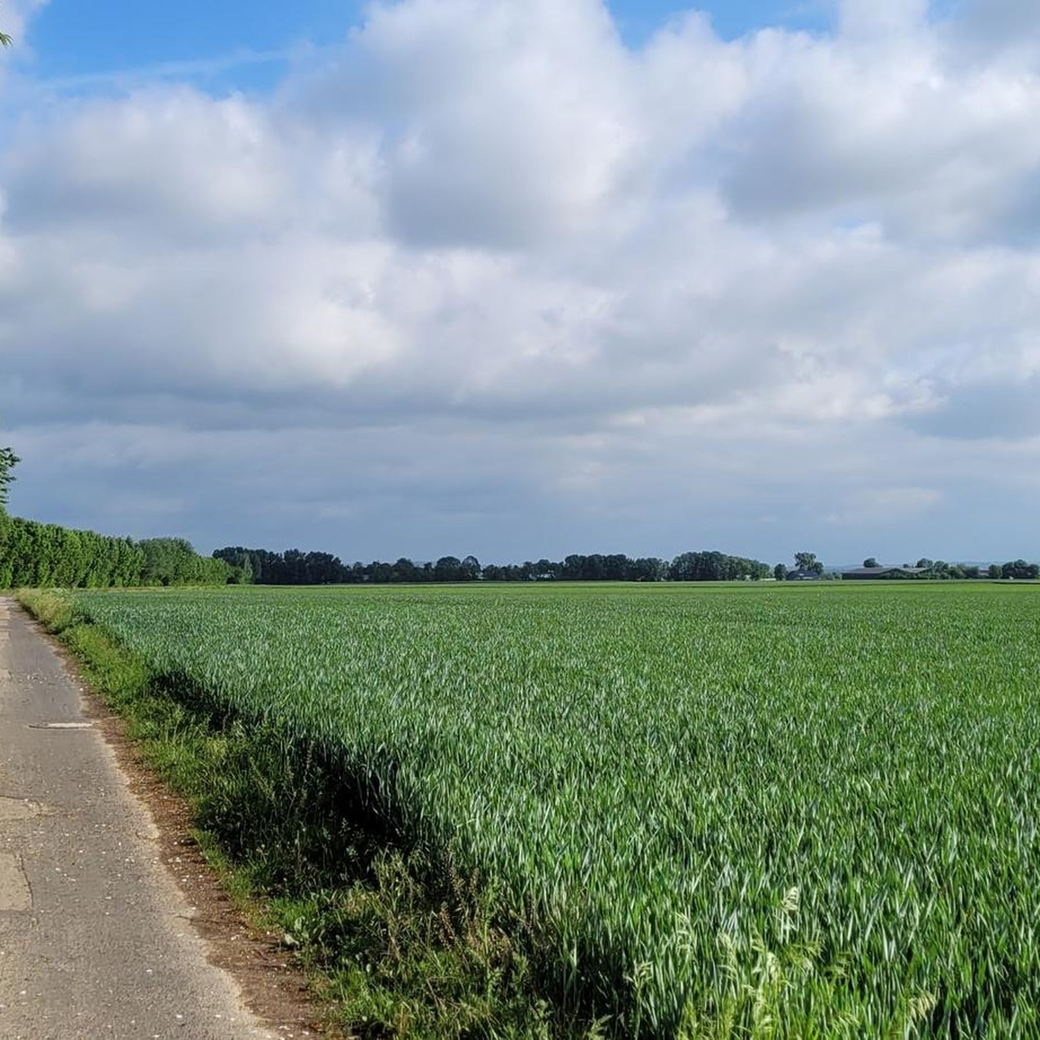
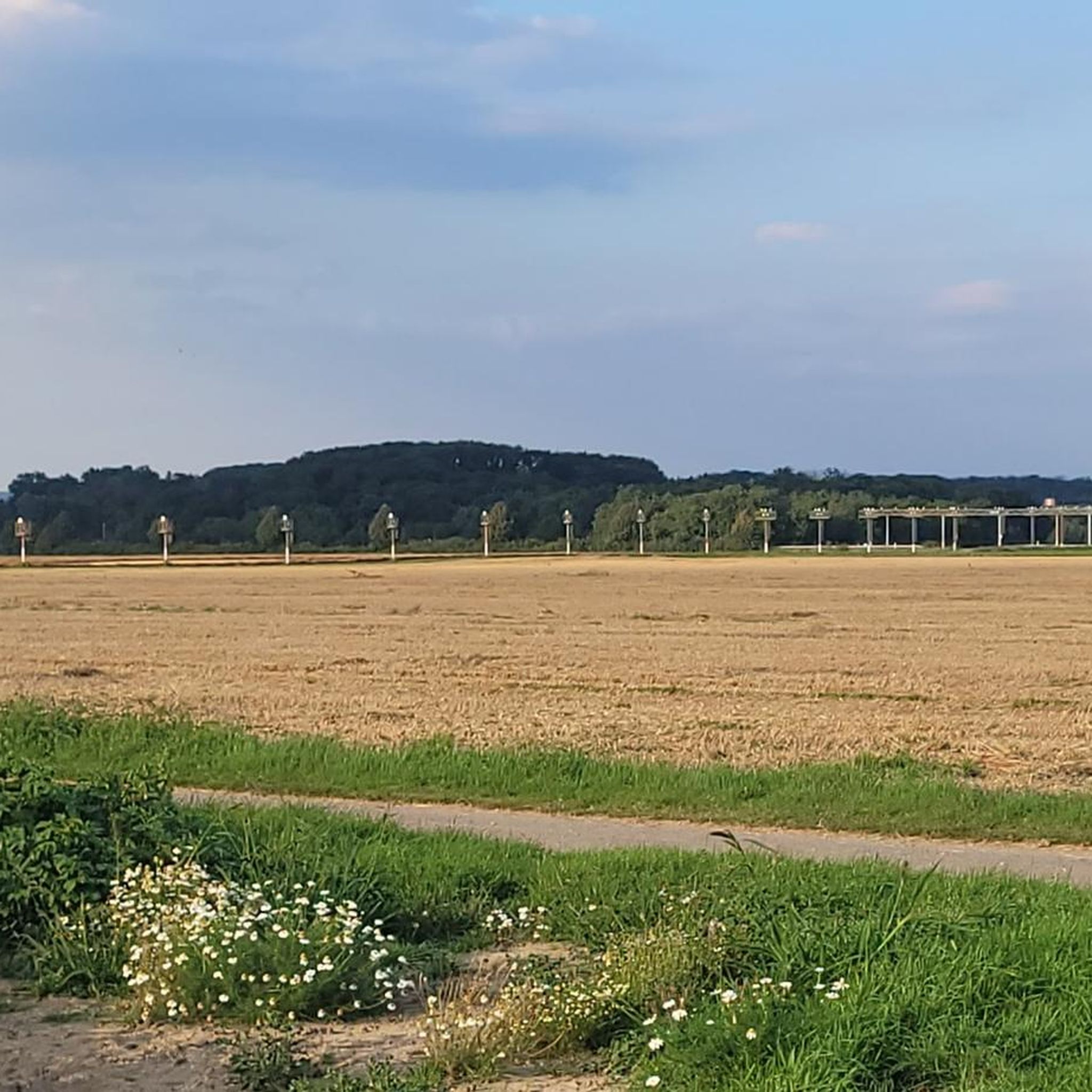
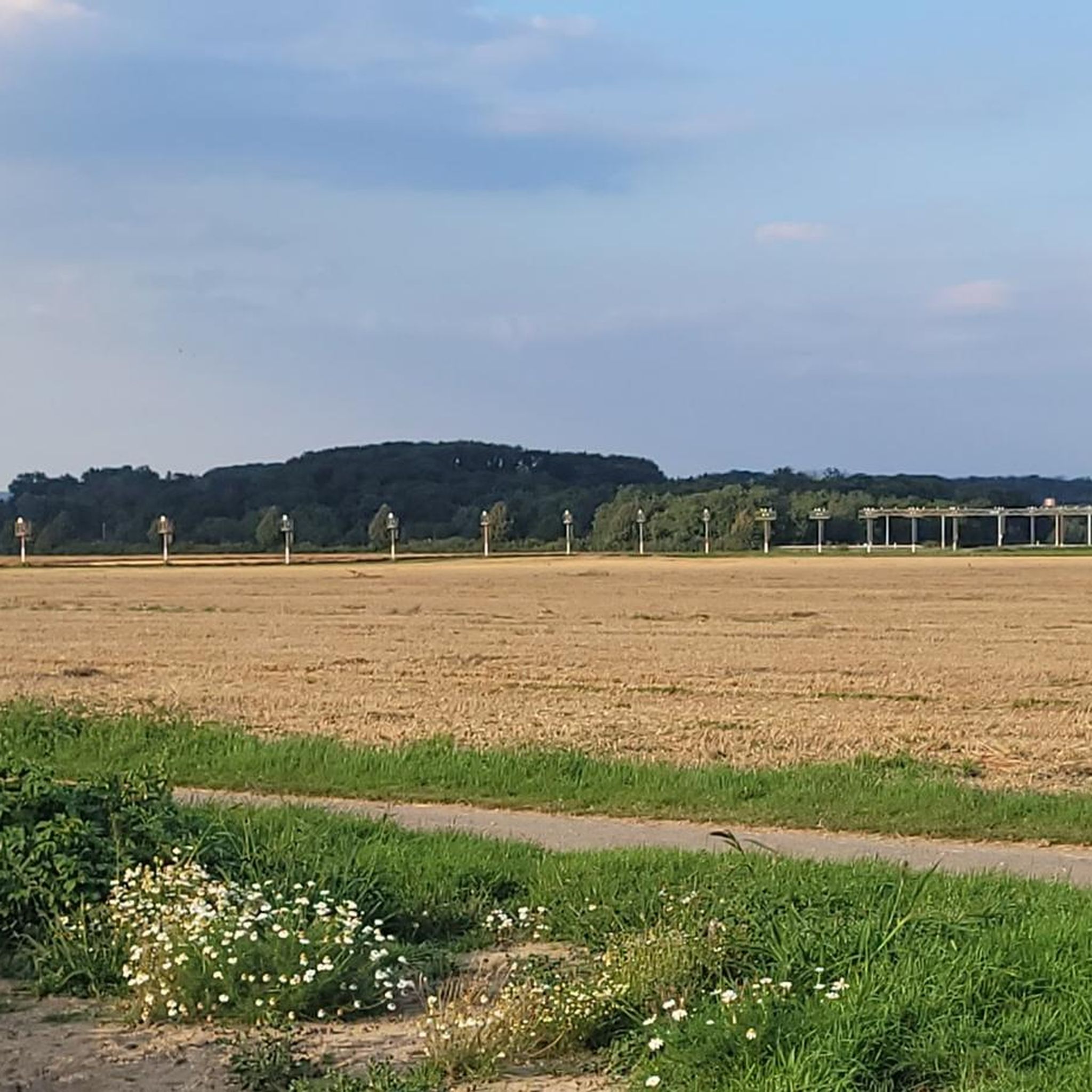
Cover your ears when a jet 🛩️ appears above you.
1
0
Nice cycle path
0
0
Frequently Asked Questions
What are the typical distances and difficulty levels for road cycling routes in Nörvenich?
Road cycling routes in Nörvenich generally range from easy to moderate, with a few more challenging options. You'll find routes like the View of Nörvenich Air Base – Nörvenich Castle loop from Nörvenich, which is an easy 11.5 miles (18.4 km) ride, up to moderate routes like the Niederberg Castle – Herrig–Erp Country Road loop from Wissersheim, spanning 25.9 miles (41.7 km).
Is parking available near the starting points of road cycling routes in Nörvenich?
Yes, many road cycling routes in the Nörvenich area start from villages like Nörvenich, Wissersheim, and Eggersheim, where public parking is typically available. It's advisable to check local parking regulations upon arrival.
Are there road cycling routes with significant elevation gains in Nörvenich?
The Nörvenich region, situated on the Rhenish Loess Plateau, is characterized by a flat to gently rolling landscape. Road cycling routes here feature low elevation gains and gradual ascents rather than steep climbs, making them suitable for various skill levels without demanding significant climbing.
Are there family-friendly road cycling routes in Nörvenich?
Yes, Nörvenich offers several easy road cycling routes that are well-suited for families. The generally flat terrain and quiet country roads provide a safe and enjoyable experience for cyclists of all ages. An example is the View of Nörvenich Air Base – Nörvenich Castle loop from Nörvenich, an easy 11.5-mile route.
What is the best time of year for road biking in Nörvenich?
The best time for road biking in Nörvenich is typically from spring through autumn (April to October). During these months, the weather is generally mild and pleasant, with less chance of rain, making for ideal cycling conditions through the open fields and rural landscapes.
What kind of views can I expect on road cycling routes in Nörvenich?
Road cycling routes in Nörvenich offer scenic views of open fields, agricultural lands, and scattered villages. You can also enjoy unique sights such as the Nörvenich Air Base and several historical castles, including Nörvenich Castle and Bergerhausen Castle, which are often visible along the routes.
Are there any circular road cycling routes in the Nörvenich area?
Yes, many of the road cycling routes around Nörvenich are designed as loops, allowing you to start and end in the same location. Examples include the Bergerhausen Castle – View of Nörvenich Air Base loop from Wissersheim and the View of Nörvenich Air Base – Bergerhausen Castle loop from Oberbolheim.
What do other road cyclists enjoy most about road cycling in Nörvenich?
The road cycling experience in Nörvenich is highly rated by the komoot community, with an average score of 4.5 stars. Reviewers often praise the quiet country roads, the flat to gently rolling terrain suitable for various skill levels, and the pleasant views of castles and the air base.
What historical sites or landmarks can I see along the road cycling routes?
The Nörvenich area is rich in historical landmarks. Along the routes, you can encounter several castles, such as Nörvenich Castle, Bergerhausen Castle, and Türnich Castle. These historical sites add a cultural dimension to your ride through the rural landscape.
How many road cycling routes are available in Nörvenich?
There are over 25 road cycling routes available in Nörvenich, offering a diverse range of options for different preferences and skill levels. These routes have been explored by more than 200 road cyclists using komoot.
Are there any viewpoints along the road cycling routes in Nörvenich?
While the region is generally flat, some routes offer specific viewpoints. For instance, the View of Nörvenich Air Base – Nörvenich Castle loop from Nörvenich provides clear views of the Nörvenich Air Base. Additionally, you might find scenic spots like Angel's View or the Gerda Rössler Hut View of Obermaubach Reservoir in the wider area, which can be incorporated into longer rides.
Can I find cafes or refreshment stops along the road cycling routes?
The road cycling routes often pass through or near small villages. While specific cafes are not listed for every route, these villages typically offer opportunities for refreshments, such as local bakeries or small eateries, especially in larger starting points like Nörvenich or Wissersheim.
Are there advanced road cycling routes for experienced riders in Nörvenich?
While Nörvenich is known for its gentle terrain, there is at least one difficult road cycling route available for experienced riders seeking a greater challenge. The majority of routes are easy to moderate, but longer distances and slightly more varied terrain can be found for those looking to push themselves.
Most popular routes around Nörvenich
Most popular attractions around Nörvenich

Get inspired with the komoot mobile app


Explore more
Browse the best Road cycling routes in other regions.
