The best road cycling routes around Niederwaldkirchen
4.6
(21)
818
riders
41
rides
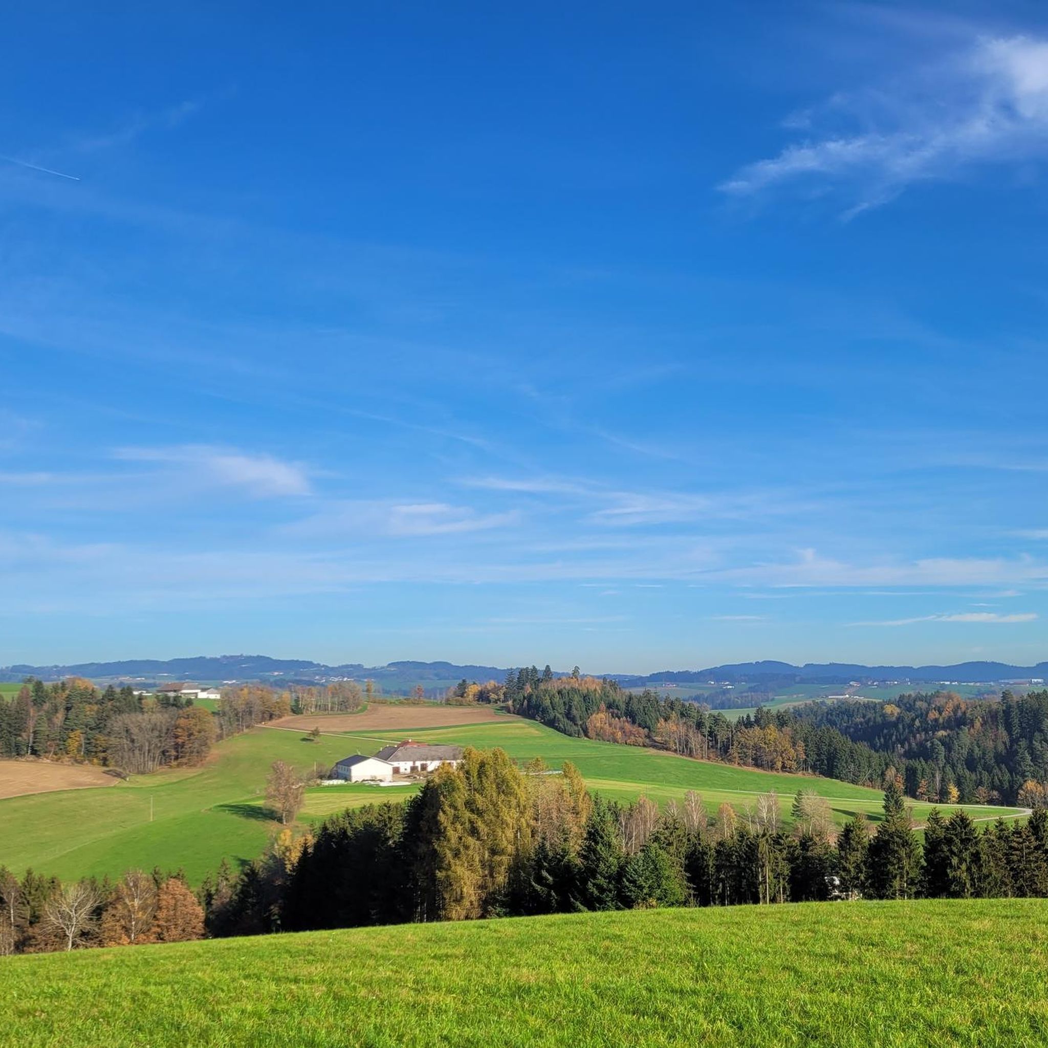
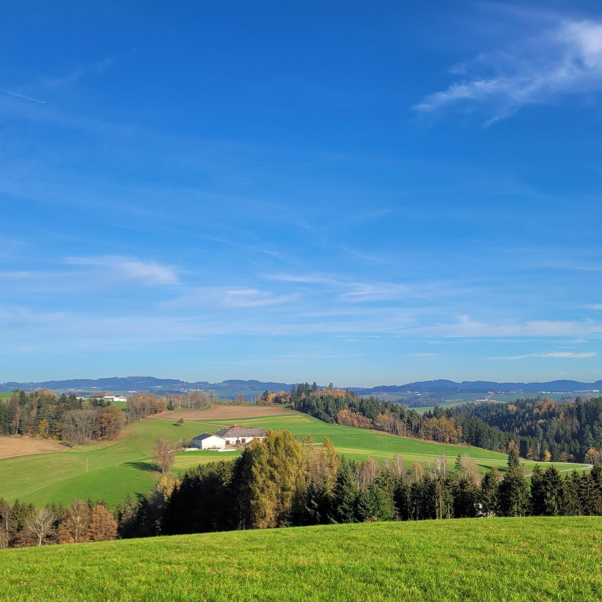
Road cycling routes around Niederwaldkirchen traverse the hilly Upper Mühlviertel region of Upper Austria, characterized by its granite-rich terrain. The landscape features rolling hills, picturesque valleys, and a mix of gentle climbs and more challenging ascents. This area offers varied topography suitable for road cyclists seeking both endurance challenges and scenic rides through forests, meadows, and traditional hamlets.
Best road cycling routes around Niederwaldkirchen
- The most popular road cycling route is Danube Cycle Path South Bank – Schlögen Loop loop from Neuhaus-Niederwaldkirchen, a 55.5 miles (89.4 km) trail that takes 4 hours 5 minutes to complete. This difficult route incorporates sections of the renowned Danube Cycle Path with significant elevation changes.
- Another top favourite among local road cyclists is Aschach on the Danube – Schlögen Loop loop from Neuhaus-Niederwaldkirchen, a difficult 41.7 miles (67.1 km) path. This route offers varied terrain along the Danube and through the Schlögen area.
- Local road cyclists also love the St. Anna Church – Haslach an der Mühl loop from Niederwaldkirchen, a 23.4 miles (37.6 km) trail leading through the Mühlviertel landscape, often completed in about 1 hour 58 minutes.
- Road cycling around Niederwaldkirchen is defined by rolling hills, granite formations, and picturesque valleys, with routes often incorporating views of the Danube. The network offers options for different ability levels, from moderate to difficult.
- The routes in Niederwaldkirchen are highly rated by the komoot community with an average score of 4.6 stars from more than 20 reviews. More than 800 road cyclists have used komoot to explore Niederwaldkirchen's varied terrain.
Last updated: May 11, 2026
4.9
(10)
265
riders
Hard road ride. Very good fitness required. Some segments of this route may be unpaved and difficult to ride.
4.0
(1)
74
riders
67.1km
03:31
1,080m
1,080m
Hard road ride. Very good fitness required. Mostly well-paved surfaces and easy to ride.

Sign up for free
5.0
(2)
73
riders
Moderate road ride. Good fitness required. Mostly well-paved surfaces and easy to ride.
64
riders
Moderate road ride. Good fitness required. Mostly well-paved surfaces and easy to ride.
5.0
(2)
34
riders
Moderate road ride. Good fitness required. Mostly well-paved surfaces and easy to ride.
Get access to more routes and recommendations from other explorers.
Sign up for free
Already have an account?
Our route recommendations are based on thousands of hikes, rides, and runs completed by other people on komoot.
Start today with a free account
Your next adventure awaits.
Login or Signup

Tips from the Community

Aschach an der Donau is one of those places that you visit and immediately feel like you are in a postcard. It is one of the oldest and most charming market towns in Upper Austria (Eferding district) and is located directly on the great Danube loop. For centuries, Aschach was an important hub for shipping and trade. This is still reflected in the townscape today. The row of houses directly on the Danube promenade largely dates from the 16th century (Renaissance and Baroque). The facades are magnificently restored and a popular photo motif.
0
0

The trip costs 3 euros per person (including bicycle)
4
0

Ottensheim-Wilhering Power Plant and Lock! This impressive facility on the Danube plays an important role in energy generation and shipping. Here are some interesting aspects: ### General Information - **Location**: The power plant and lock are located in the municipality of **Wilhering** in **Upper Austria**. - **Year of Construction**: The power plant was built from **1970 to 1975** and is a run-of-river power plant. ### Technical Features 1. **Lock**: - The lock has **two lock chambers** measuring **230 × 24 m**. - It allows ships to pass through and overcomes the height difference in the river. 2. **Power Plant**: - The power plant has an **capacity** of approximately **30 MW** and uses the current of the Danube to generate electricity. - It is part of a project with **72 million euros** being invested to ensure the lifespan and efficiency of the power plant for another **50 years**. 3. **Water level**: - The river dam length is **16 km**, and the dam target is at an altitude of approximately **250 m**. ### Significance - **Energy generation**: The power plant contributes significantly to the region's electricity supply and is an important component of renewable energy sources in Austria. - **Shipping**: The lock is a central point for inland navigation on the Danube, enabling the transport of goods and passengers. ### Summary The **Ottensheim-Wilhering power plant and lock** are not only technical masterpieces, but also crucial elements for the energy supply and shipping in the region. A visit to this facility offers exciting insights into the world of hydropower and engineering! ✨
2
0

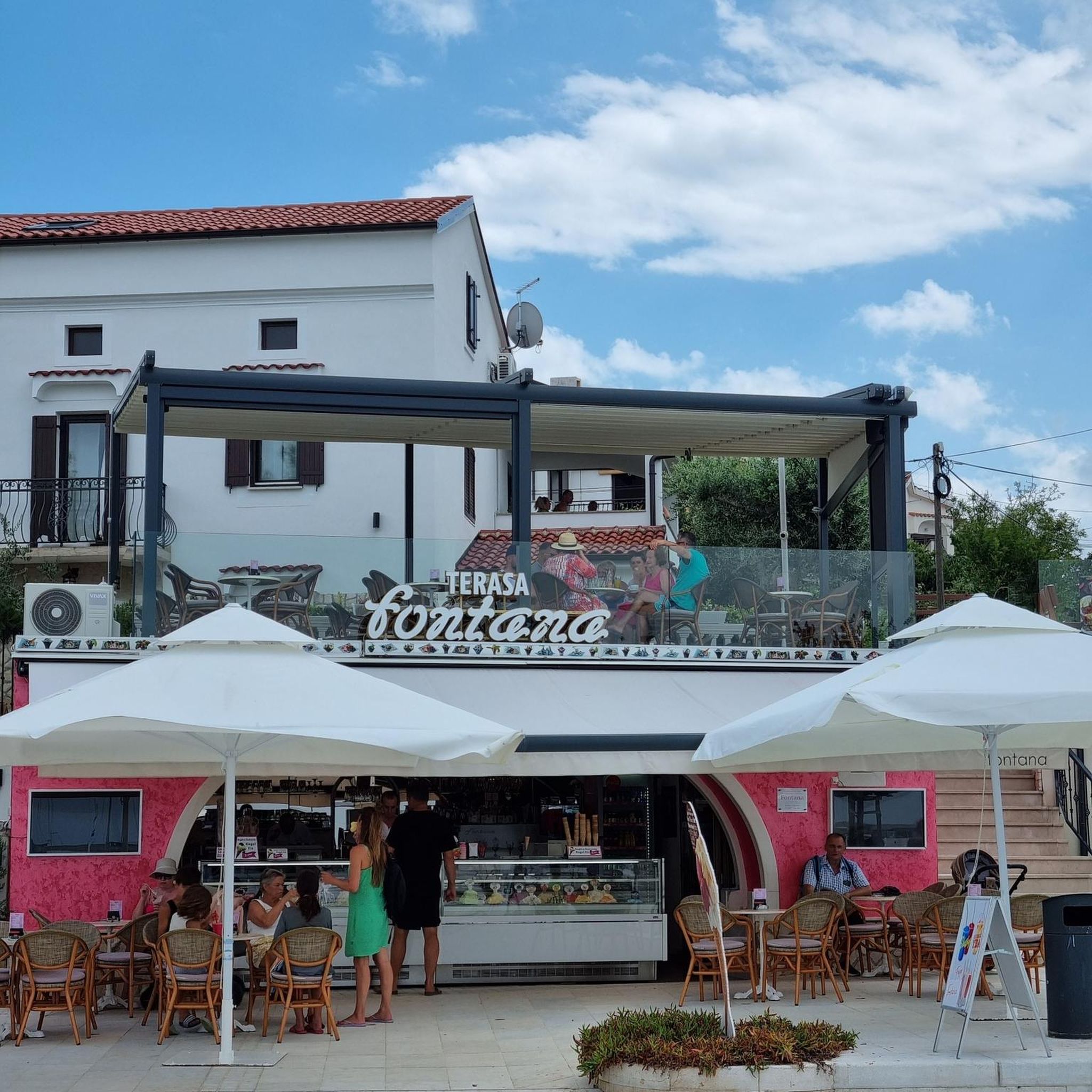
Many cafes and restaurants along the Danube, perfect for a break on your bike tour.
1
0


The rustic restaurant invites you to linger, where you'll be treated to predominantly traditional cuisine.
5
0

beautiful little town on the Danube
1
0
The tower was built between 1483 and 1487 and was severely damaged in a fire in 1910. Since 1927, the Old Tower, a relic of the former fortification, has housed the Haslach Heimathaus (Haslach Local History Museum).
5
0
Frequently Asked Questions
How many road cycling routes are available around Niederwaldkirchen?
There are over 40 road cycling routes around Niederwaldkirchen, offering a diverse range of experiences. These routes traverse the hilly Upper Mühlviertel region, providing options for various fitness levels.
What kind of terrain can I expect on road cycling routes near Niederwaldkirchen?
The terrain around Niederwaldkirchen is characterized by the hilly Upper Mühlviertel region, featuring rolling hills, picturesque valleys, and granite formations. You can expect a mix of gentle climbs and more challenging ascents, with routes often incorporating views of the Danube Valley.
Are there challenging road cycling routes with significant climbs?
Yes, the region offers numerous challenging routes. For instance, the Aschach on the Danube – Schlögen Loop loop from Neuhaus-Niederwaldkirchen is a difficult 67.1 km path with over 1000 meters of elevation gain. Many routes in the area feature substantial elevation changes, catering to advanced cyclists.
Are there easier road cycling routes suitable for beginners?
While many routes are moderate to difficult, some offer a less strenuous experience. The St. Anna Church – Haslach an der Mühl loop from Niederwaldkirchen is a moderate 37.6 km route through the Mühlviertel landscape, suitable for those looking for a less intense ride.
What scenic viewpoints can I find along road cycling routes?
Road cycling routes in the Mühlviertel often lead to stunning panoramic views. The Hansberg, an 'Aussichtsberg' at 840 meters, offers expansive vistas from the Bohemian Forest to the Alps. Routes like the View of Waxenberg Castle Ruins – Waxenberg loop from Neuhaus-Niederwaldkirchen also provide scenic outlooks.
Are there any historical or cultural landmarks to see while cycling?
Yes, the region is rich in cultural heritage. The 'Marterlweg' near Niederwaldkirchen features numerous ancient cross pillars, wayside shrines, and chapels, some dating back to the 1500s. These 'Kleindenkmäler' offer interesting points of reflection along your ride. The 'Granitpilgern' route also highlights the region's unique granite geological heritage.
What natural attractions are near the road cycling routes?
The Pesenbachtal is an idyllic valley known for its scenic beauty, featuring the striking Kerzenstein, a twelve-meter-high natural monument formed by stacked granite blocks. You can also find highlights like the Trail Along the Pesenbach. Additionally, there are several lakes nearby, such as the Rodl Natural Swimming Pool, Gramastetten and the View of the Neufelden Reservoir.
Can I combine road cycling with sections of the Danube Cycle Path?
Absolutely. Niederwaldkirchen's proximity to the Danube Valley allows for routes that incorporate sections of the renowned Danube Cycle Path. The Danube Cycle Path South Bank – Schlögen Loop loop from Neuhaus-Niederwaldkirchen is a prime example, offering a varied journey through gentle hills towards the iconic Schlögener Schlinge.
Are there places to stop for refreshments or accommodation along the routes?
The Mühlviertel region is dotted with idyllic villages and traditional inns. Many routes pass through these charming settlements, providing opportunities for culinary stops and experiencing local culture. You'll find various cafes, pubs, and accommodation options catering to cyclists.
What do other road cyclists enjoy about the routes in Niederwaldkirchen?
The road cycling routes around Niederwaldkirchen are highly rated by the komoot community, with an average score of 4.6 stars from over 20 reviews. Cyclists often praise the varied terrain, the scenic beauty of the Upper Mühlviertel, and the quiet, low-traffic side roads that make for a serene cycling experience.
What is the best time of year for road cycling in the Mühlviertel region?
The spring and autumn months generally offer the most pleasant conditions for road cycling in the Mühlviertel. Temperatures are milder, and the landscapes are particularly beautiful with blooming flora or vibrant fall colors. Summer can also be excellent, but it's advisable to start earlier in the day to avoid the midday heat.
Are there any loop road cycling routes around Niederwaldkirchen?
Yes, many of the road cycling routes around Niederwaldkirchen are designed as loops, allowing you to start and end at the same point. Examples include the Aschach on the Danube – In the Rodl Valley loop from Neuhaus-Niederwaldkirchen and the St. Anna Church – Haslach an der Mühl loop from Niederwaldkirchen, providing convenient circular tours.
Most popular routes around Niederwaldkirchen
Most popular attractions around Niederwaldkirchen

Get inspired with the komoot mobile app


Explore more
Browse the best Road cycling routes in other regions.
