The best walks and hikes around Niedertiefenbach
4.6
(7012)
21,695
hikers
839
hikes
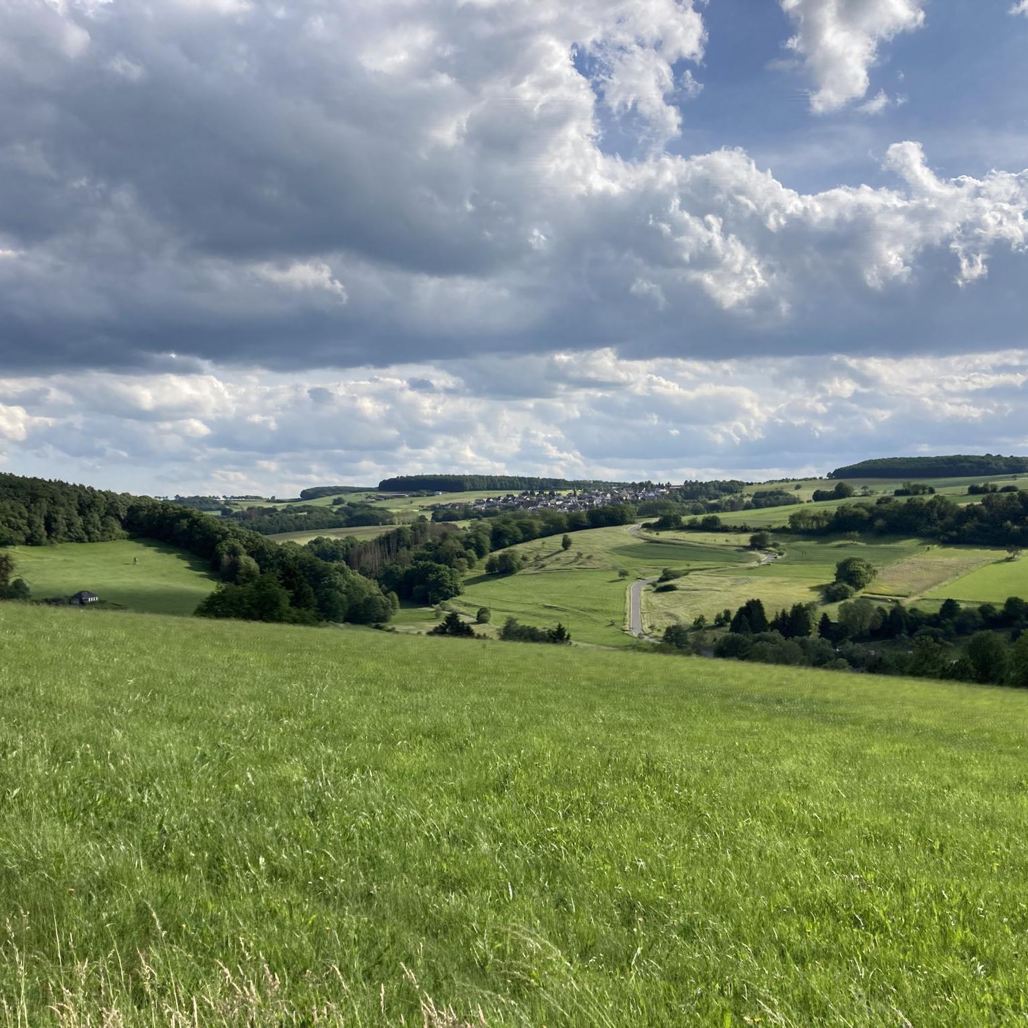
Hiking around Niedertiefenbach offers access to the Taunus Mountains, characterized by extensive forests, rolling hills, and scenic valleys. The region is situated near the Nassau Nature Park, featuring the Lahn Valley and distinct natural features like gorge-like upper valley sections. Trails often include narrow and rocky paths, with routes leading through areas like the Hasenbach Valley and Jammer Valley.
Best hiking trails around Niedertiefenbach
- The most popular hiking route is Jammertal Trail – Jammertal at the Dörsbach loop from Ergeshausen…
Last updated: October 4, 2026
4.5
(32)
95
hikers
13.2km
03:49
320m
330m
Hard hike. Good fitness required. Sure-footedness, sturdy shoes and alpine experience required.
4.5
(16)
49
hikers
15.8km
04:18
220m
220m
Moderate hike. Good fitness required. Easily-accessible paths. Suitable for all skill levels.

4.8
(16)
40
hikers
7.64km
02:16
210m
210m
Moderate hike. Good fitness required. Easily-accessible paths. Suitable for all skill levels.
4.9
(17)
43
hikers
8.17km
02:11
90m
90m
Hard hike. Good fitness required. Sure-footedness, sturdy shoes and alpine experience required.
5.0
(2)
21
hikers
Easy hike. Great for any fitness level. Easily-accessible paths. Suitable for all skill levels.
Get access to more routes and recommendations from other explorers.
Already have an account?
Our route recommendations are based on thousands of hikes, rides, and runs completed by other people on komoot.
Start today with a free account
Your next adventure awaits.
Tips from the Community

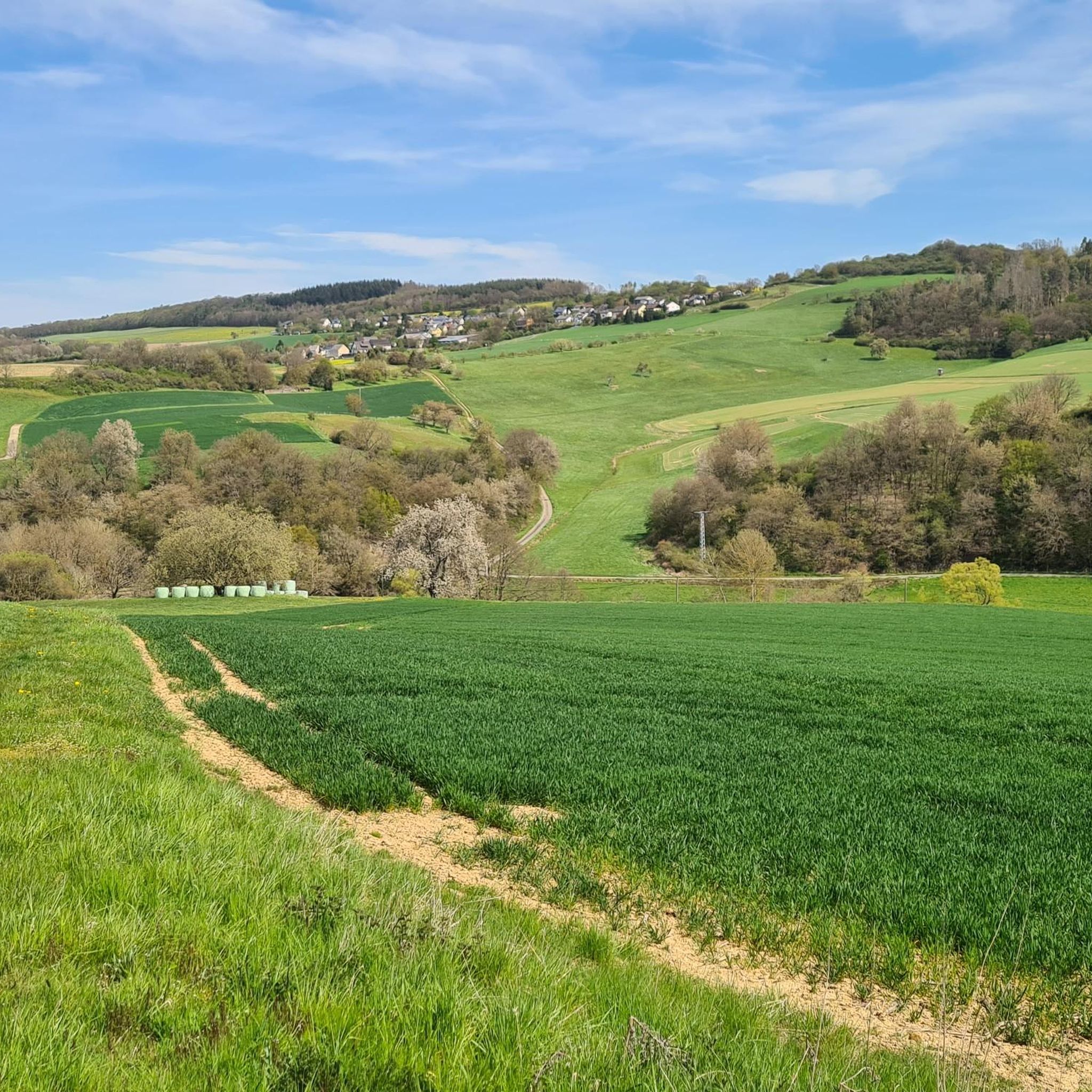
The old bridge and the church in the background - a really nice photo motif.
0
0
Here you can also refill your drink bottle.
0
0
A great spot and the view from the shelter is very nice.
0
0
The artificially created water surface has a calming effect. From the shelter, there is a beautiful view over the lake.
0
0

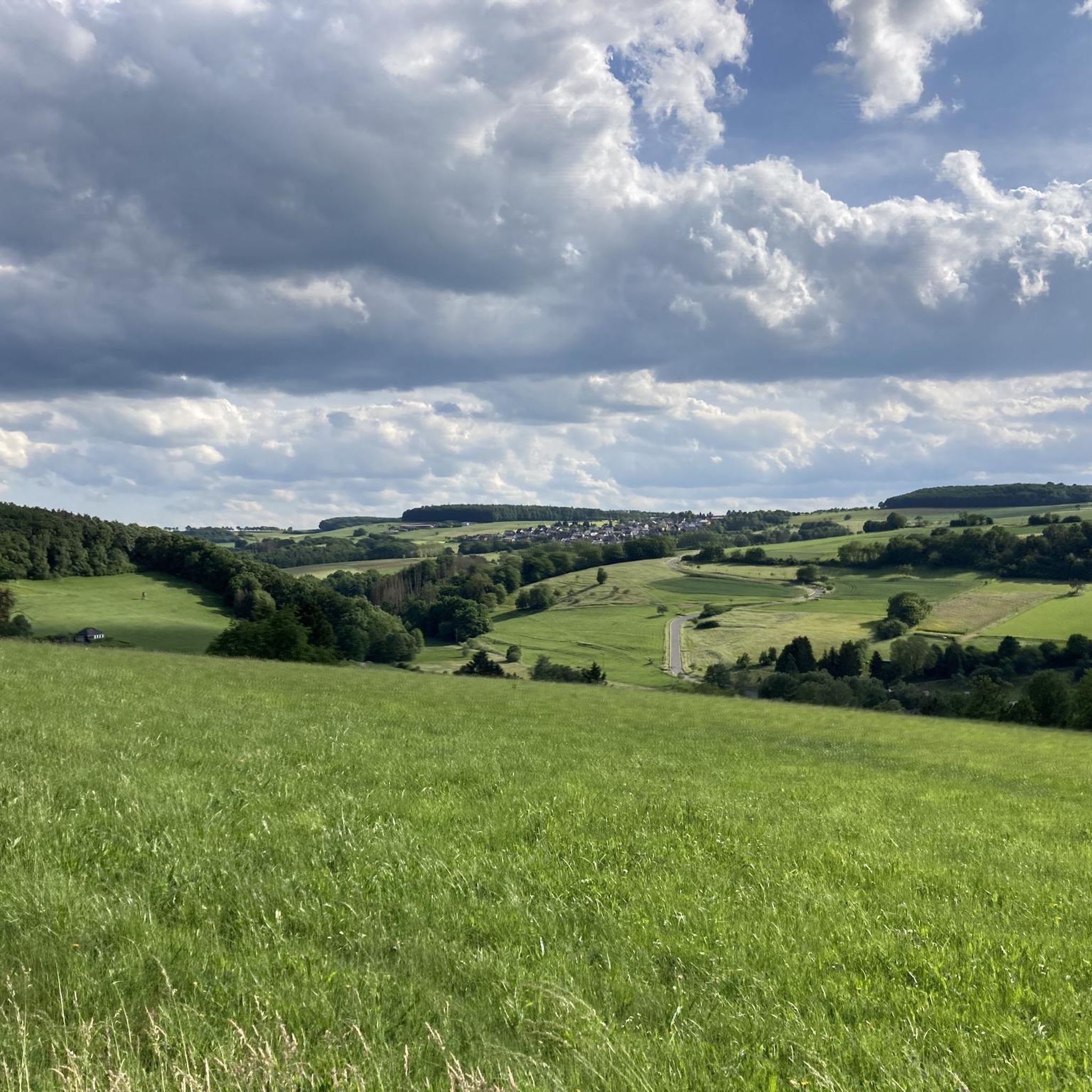
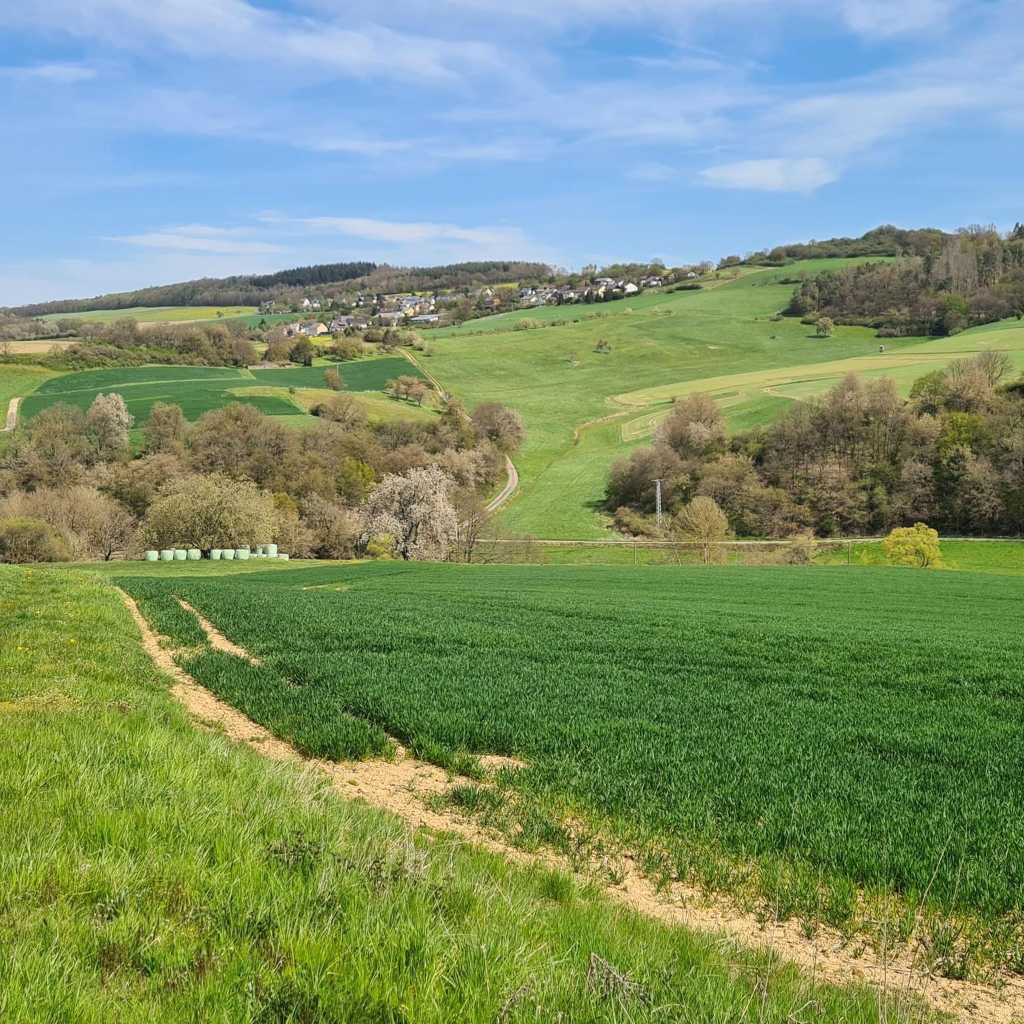
The view from here doesn't extend that far; the hilltops all still belong to the Lahn-Taunus or Rheingau-Taunus regions.
0
0

It's an apple tree instead of an olive tree😅, but that's a minor detail. You can get a drink here for 2 euros. You can find the drinks (beer, apple juice from the tree, cola) under the lever in the grass.
0
0

Several mills along the way
0
0
Beautiful hiking trail Recommended
0
0
Frequently Asked Questions
How many hiking trails are available around Niedertiefenbach?
There are over 850 hiking trails available around Niedertiefenbach. These routes cater to various ability levels, from easy walks to more challenging routes with significant elevation, exploring the extensive forests, rolling hills, and scenic valleys of the Nassau Nature Park.
What kind of terrain can I expect on hikes near Niedertiefenbach?
The terrain around Niedertiefenbach is diverse, featuring extensive forests, rolling hills, and scenic valleys. You'll encounter distinct natural features like gorge-like upper sections of valleys and areas with narrow and rocky paths, particularly within the Nassau Nature Park and along the Lahn Valley.
Are there any family-friendly hiking options in Niedertiefenbach?
Yes, Niedertiefenbach offers many family-friendly hiking options. Out of over 850 trails, more than 470 are rated as easy, making them suitable for families. An example of an easier route is the Jammertal at the Dörsbach – Jammertal and Jammertal Mill loop from Ergeshausen, which is under 6 km and has minimal elevation gain.
Can I find circular hiking routes around Niedertiefenbach?
Yes, many of the trails around Niedertiefenbach are circular routes, perfect for exploring the region without retracing your steps. Examples include the Hauserbachsee – Hauserbach Reservoir loop from Rhein-Lahn-Kreis, a moderate 15.9 km path, or the shorter Dörsbach in Jammertal – Bench Under the Olive Tree loop from Roth.
What interesting landmarks or natural features can I see while hiking?
Hikers can discover a variety of interesting landmarks and natural features. You might encounter the picturesque Teufelsdell Waterfall, the unique 19 Holes Gorge, or the historic megalithic tomb near Beselich-Niedertiefenbach. The region also features many former mills along its routes, blending natural beauty with historical human activity.
Are there any castles or viewpoints along the trails?
Yes, the area offers several castles and rewarding viewpoints. You can enjoy a view of Balduinstein Castle overlooking the Lahn valley, or visit the impressive Schaumburg Castle with its Renaissance building and park. These historical sites provide excellent destinations or scenic breaks during your hike.
What do other hikers enjoy most about hiking in Niedertiefenbach?
The hiking experiences in Niedertiefenbach are highly rated by the komoot community, with an average score of 4.6 stars from over 5,800 reviews. Hikers often praise the extensive network of trails through varied and beautiful natural settings, the peaceful atmosphere, and the blend of natural beauty with historical and cultural points of interest.
Is Niedertiefenbach accessible by public transport for hikers?
While specific public transport routes directly to all trailheads can vary, Niedertiefenbach is situated in a region with some public transport options. For detailed information on bus or train connections to specific starting points, it's advisable to check local transport schedules for the Nassau Nature Park area.
Are there parking facilities available for hikers?
Yes, many trailheads and popular hiking areas around Niedertiefenbach offer designated parking facilities. It's common to find parking at or near the starting points of well-known routes, especially those leading into the Nassau Nature Park or towards attractions like the Lahn Valley.
Are dogs allowed on the hiking trails in Niedertiefenbach?
Generally, dogs are welcome on the hiking trails around Niedertiefenbach, especially in the natural areas like the Nassau Nature Park. It's always recommended to keep dogs on a leash, especially in nature reserves, near wildlife, or when passing through agricultural areas, and to follow local regulations regarding pet waste.
What is the best time of year to go hiking in Niedertiefenbach?
Niedertiefenbach offers enjoyable hiking experiences throughout much of the year. Spring brings blooming landscapes, while autumn provides vibrant foliage in the extensive forests. Summer is ideal for longer days, and even winter can be beautiful for crisp walks, though some paths might be slippery or require appropriate gear.
Are there any challenging hikes for experienced hikers?
Yes, for experienced hikers seeking a challenge, Niedertiefenbach offers routes with significant elevation gain and more demanding terrain. For example, the Jammertal Trail – Jammertal at the Dörsbach loop from Ergeshausen is an 8.2-mile (13.2 km) difficult route with over 320 meters of elevation gain.
Most popular routes around Niedertiefenbach
Most popular attractions around Niedertiefenbach

Get inspired with the komoot mobile app


Explore more
Browse the best Hikes in other regions.
