The best MTB trails around Masserberg
4.7
(196)
495
riders
39
rides
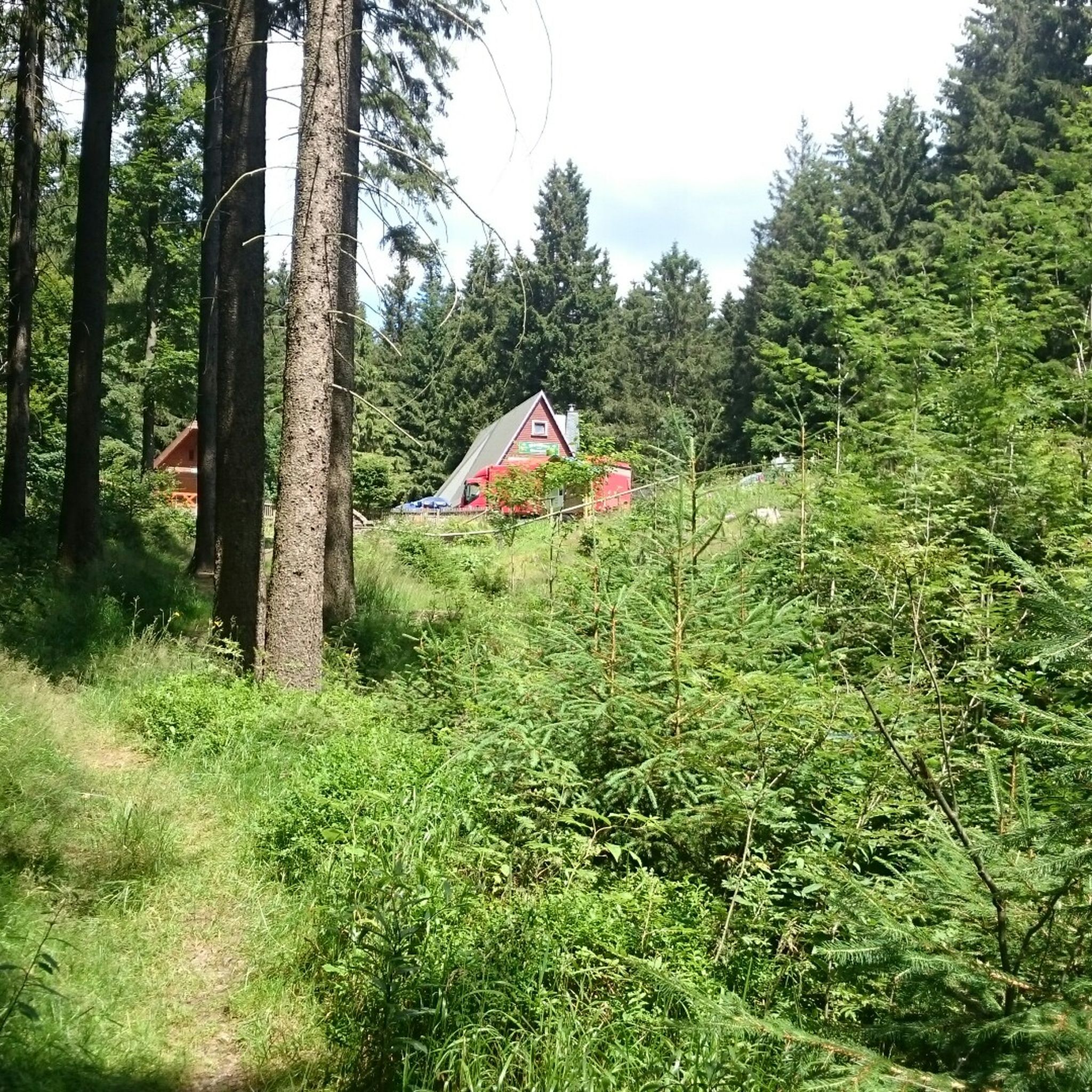
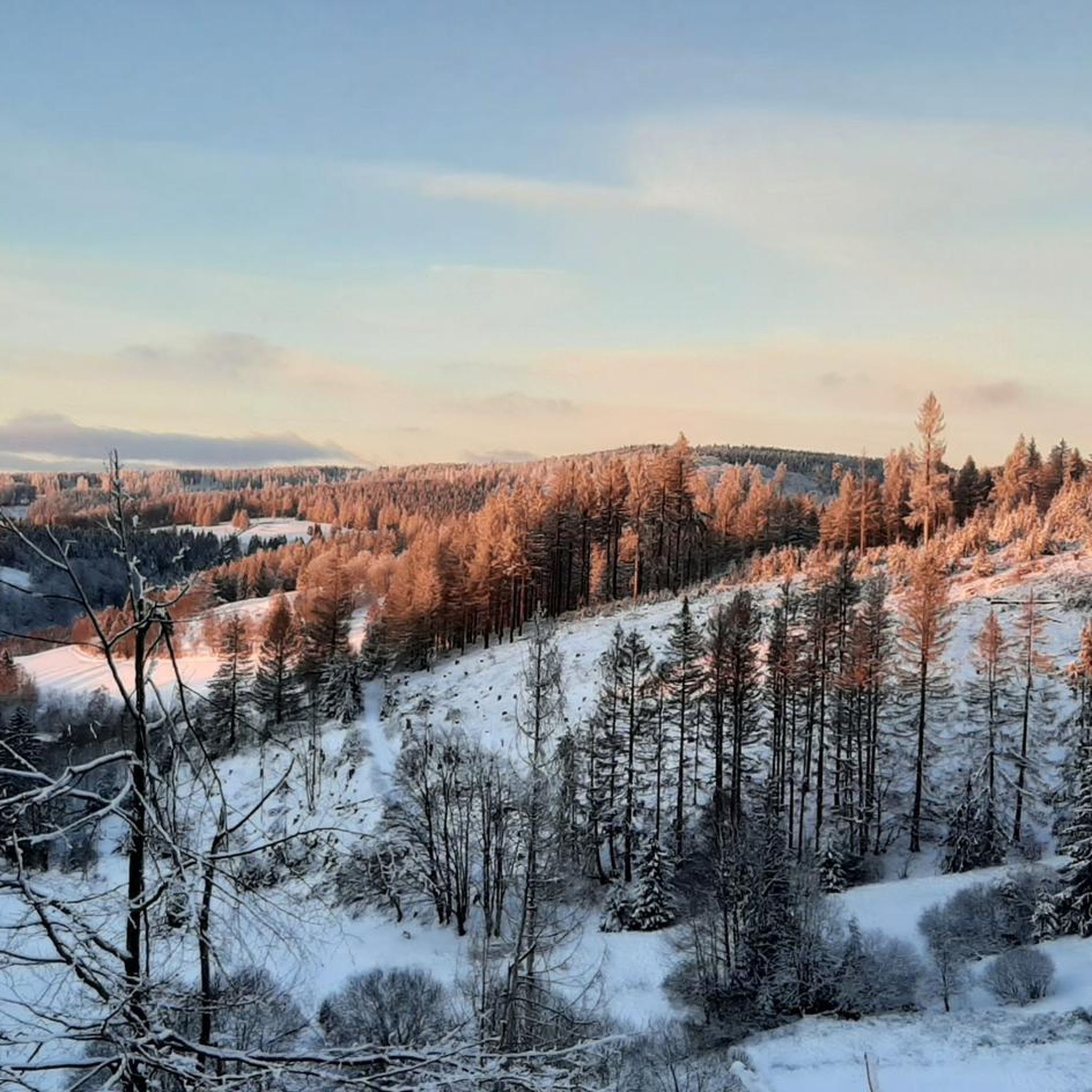
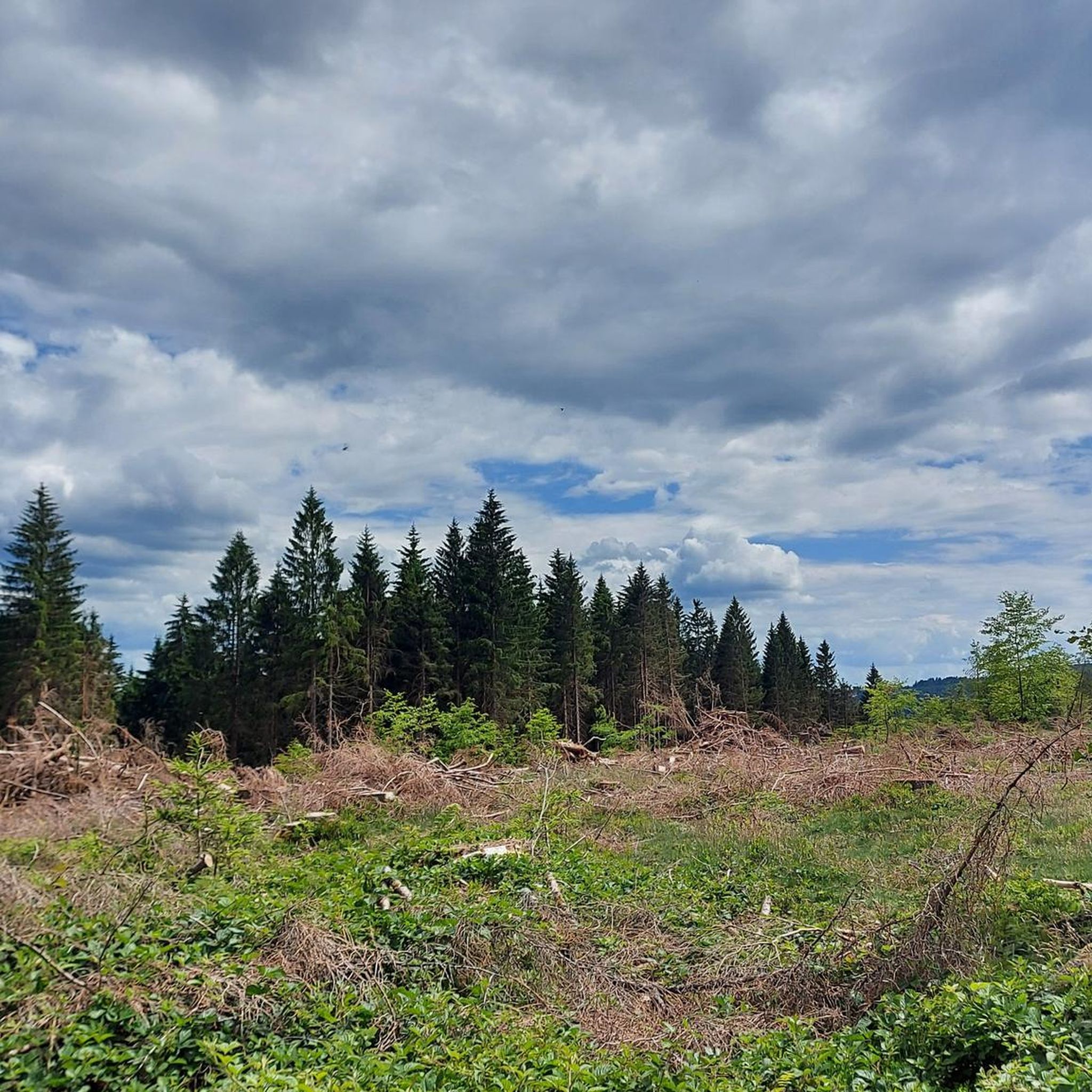
Mountain bike trails around Masserberg are set within the dense forests and rolling hills of the Thuringian Forest, a region characterized by its varied topography. The area features a comprehensive network of well-signposted routes, offering diverse terrain for mountain bikers. This includes sections of the historic Rennsteig trail and other paths that navigate through the region's natural landscapes. The trails provide options for different skill levels, from moderate paths to more challenging ascents and descents.
Best mountain bike trails around…
Last updated: September 29, 2026
4.3
(27)
59
riders
42.5km
03:50
880m
880m
Moderate mountain bike ride. Good fitness required. Advanced riding skills necessary.
4.8
(29)
91
riders
48.0km
03:29
560m
560m
Moderate mountain bike ride. Good fitness required. Suitable for all skill levels.

4.6
(18)
56
riders
23.7km
01:51
250m
250m
Easy mountain bike ride. Great for any fitness level. Suitable for all skill levels.
4.7
(10)
50
riders
74.8km
05:54
1,040m
1,040m
Hard mountain bike ride. Very good fitness required. Advanced riding skills necessary.
4.6
(12)
29
riders
Hard mountain bike ride. Very good fitness required. Advanced riding skills necessary.
Get access to more routes and recommendations from other explorers.
Already have an account?
Our route recommendations are based on thousands of hikes, rides, and runs completed by other people on komoot.
Start today with a free account
Your next adventure awaits.
Popular around Masserberg
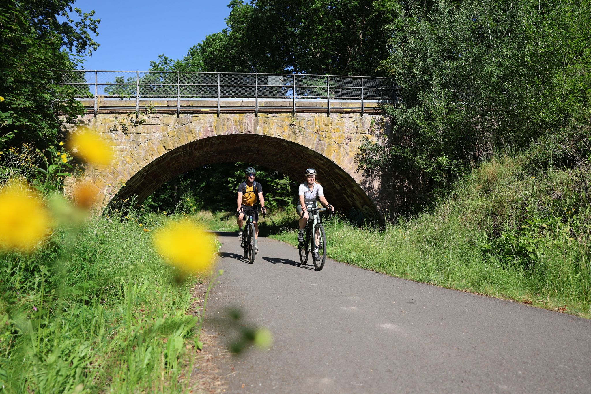
Gravel adventures in the Thuringian Forest
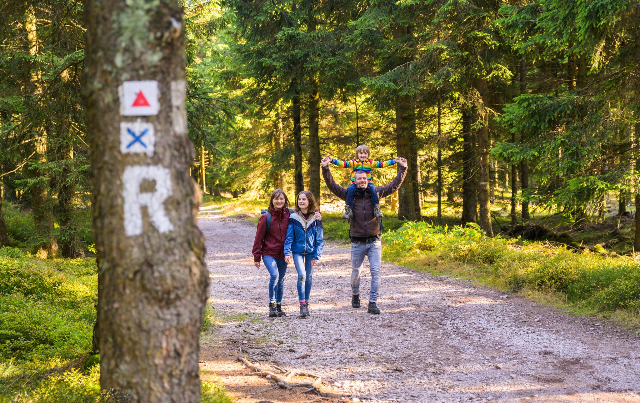
Play, nature and good fun – family hikes in the Thuringian Forest

Long distance hiking trails in the Thuringian Forest
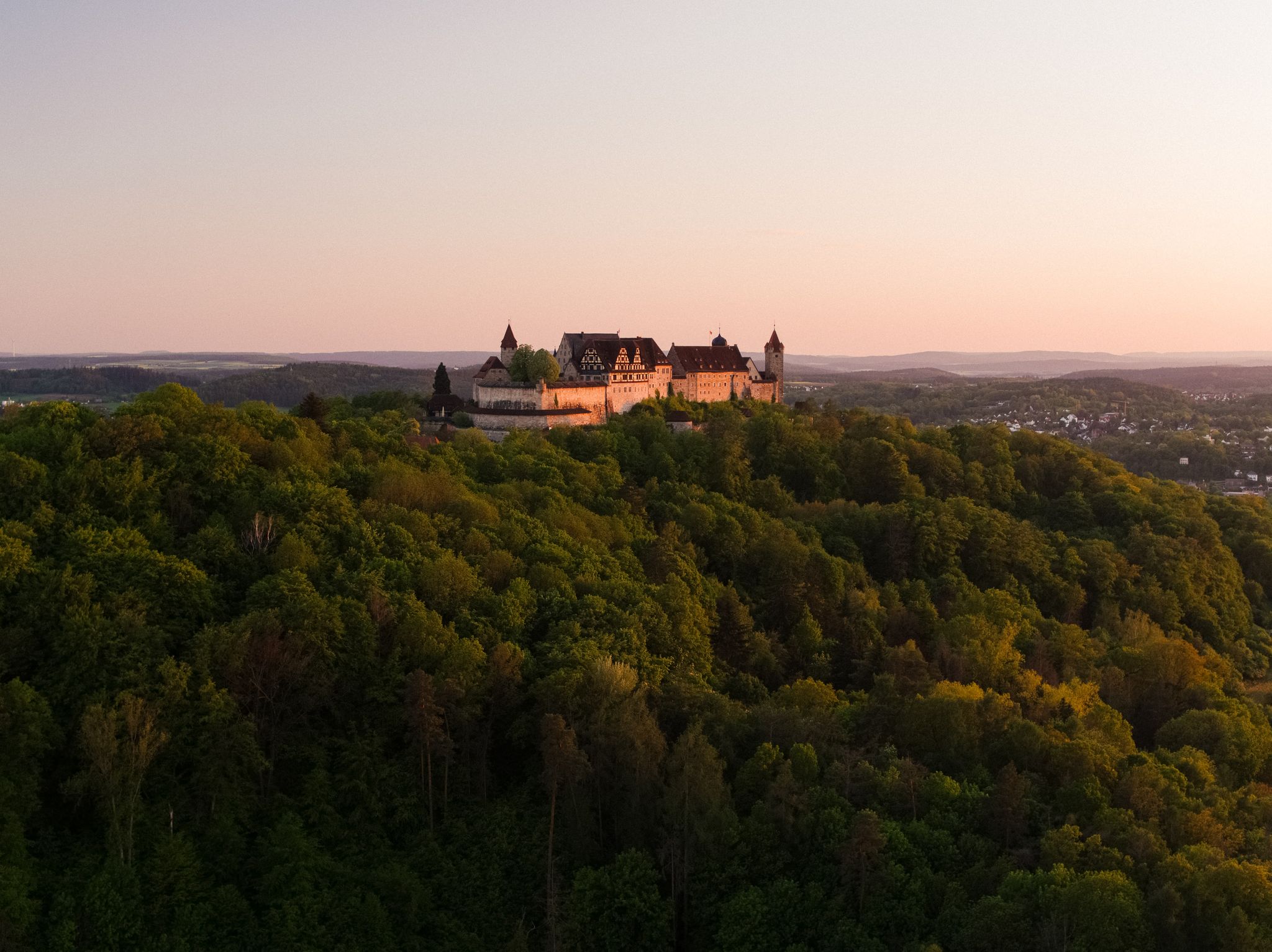
Hike the Coburg.Rennsteig Trail in Germany – Thuringia and Franconia
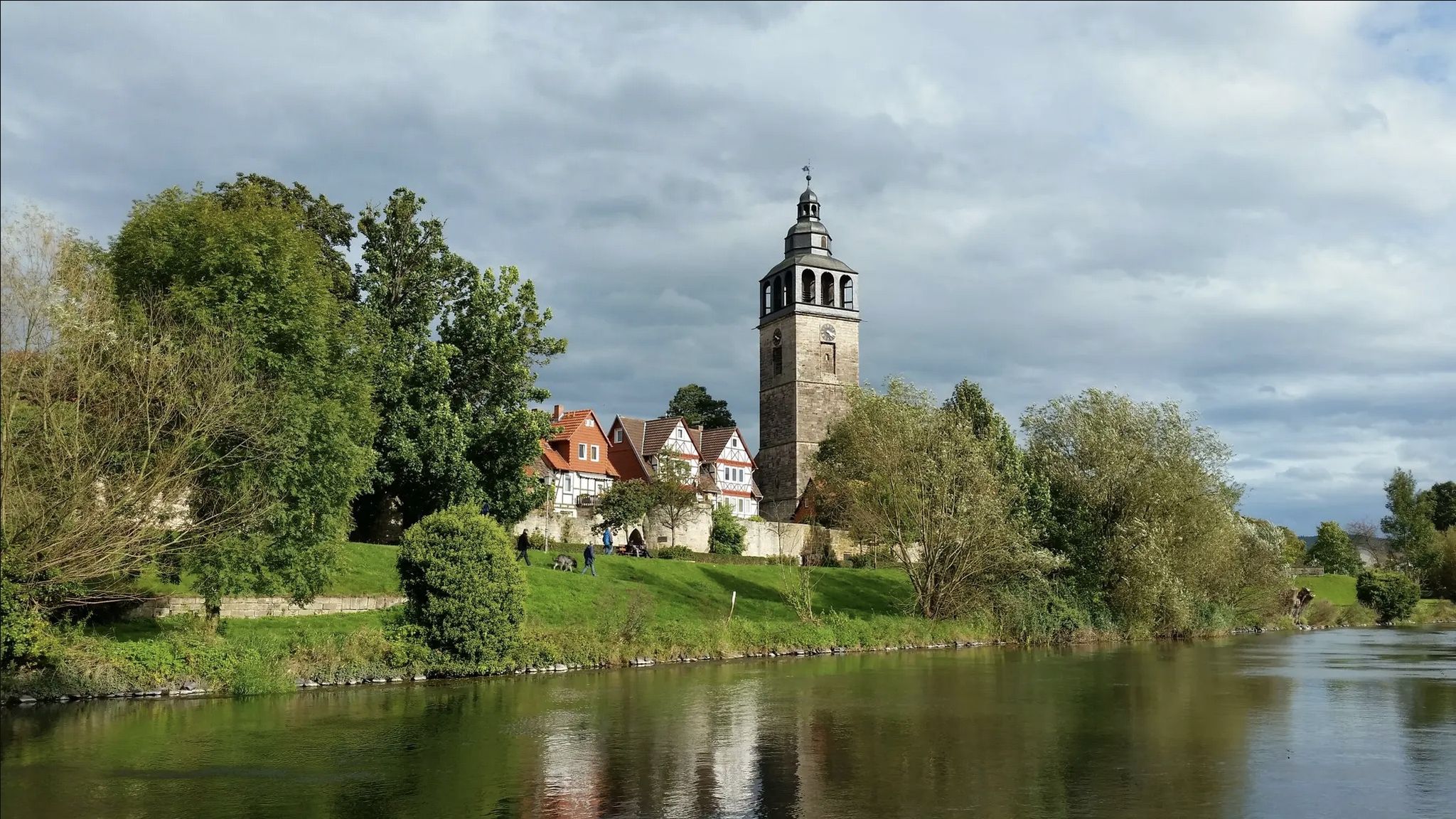
Werra-Burgen-Steig trail – castles and forests in 3 states
Hiking around Masserberg
Cycling around Masserberg
Running Trails around Masserberg
Road Cycling Routes around Masserberg

Gravel biking around Masserberg
Other adventures around Masserberg


Tips from the Community

At the Schildwiese rest stop, there is a very special piece of Rennsteig history: a small customs house that is reminiscent of the former division of Germany. It was created by Günther Schmidt from Spechtsbrunn. With a lot of humor, he has designed a place here that recalls the time when the Rennsteig was actually divided by the border. Today, you can hike here without any passport control.
10
0
During the Rennsteig Church Day on June 20, 2009, the memorial at Schildwiese was inaugurated. The metal cross, over four meters high, was designed by the builders from original parts of the old border fence. In front of it, a plaque on a stone block commemorates the people who died in this section of the inner-German border, and all victims of the wall and barbed wire during the German division.
7
0
The "Zollhaus" at the Rennsteig border monument is not a restored historical building. The hut was erected and equipped in autumn 2016 by the Frankenwaldverein Kleintettau. It is intended to commemorate the vibrant customs history of this border region and the era of German division. The monument also includes a historical border stone and two posts with the coats of arms of the Free State of Bavaria and the district of Kronach on one side, and the Free State of Thuringia and the district of Saalfeld-Rudolstadt on the other.
13
0

Top location on the Rennsteig: The proximity to the famous ridge trail allows for a combination of forest descents and ridge tours. Varied topography: Steep ascents from the Tannengrund or Reuscheltal demand stamina, but reward with brisk descents. Nature experience: The reservoir, with its bays, is reminiscent of a small fjord landscape in the middle of the dense low mountain forest. Tour combinations: Perfect as a stopover or turning point for larger loops, which often start in Schleusingen or Masserberg.
3
0
The Schönbrunn dam is located in the southern Thuringian Forest in the municipality of Schleusegrund (Hildburghausen district, Thuringia). It was commissioned in 1977. The dam is located about 20 kilometers south of Ilmenau and 15 kilometers northeast of Schleusingen. The river Schleuse is dammed. Source: https://de.wikipedia.org/wiki/Talsperre_Sch%C3%B6nbrunn#:~:text=Die%20Talsperre%20Sch%C3%B6nbrunn%20liegt%20im,Gestaut%20wird%20der%20Fluss%20Schleuse.
3
0
The Schönbrunn dam in the Thuringian Forest is attractive for mountain biking due to its charming combination of idyllic, flat shore paths and challenging, hilly ascents in the surrounding mountainous terrain around the Rennsteig. The circuit offers constant views of the blue water of the reservoir and the forest-rich heights of the Thuringian Forest.
3
0

The historic customs house on the border between Bavaria and Thuringia near Kleintettau (Markt Tettau) is a reconstructed historic customs station. It is located directly on the legendary Rennsteig hiking trail on the so-called Schildwiese. Today, the small building serves as a historical site and border memorial, commemorating the decades-long inner-German division.
5
0

Those who push ahead from Masserberg towards Langertfelsen and Neustadt on the Rennsteig will be rewarded with distant views and plenty of mountain air.
1
0
Frequently Asked Questions
How many mountain bike trails are available around Masserberg?
There are over 40 mountain bike trails around Masserberg listed on komoot, offering a wide range of options for different skill levels. This includes 5 easy routes, 22 moderate routes, and 13 difficult routes.
What is the terrain like for mountain biking in Masserberg?
The terrain around Masserberg is characterized by dense forests and rolling hills within the Thuringian Forest. You'll encounter varied topography, including sections of the historic Rennsteig trail, moderate forest paths, and more challenging ascents and descents.
Are there any easy mountain bike trails suitable for beginners or families in Masserberg?
Yes, Masserberg offers 5 easy mountain bike trails, which are great for beginners or families looking for a less strenuous ride. These routes typically feature gentler gradients and less technical terrain, allowing for a more relaxed experience in nature.
What is the best time of year for mountain biking in Masserberg?
The best seasons for mountain biking in Masserberg are spring and summer. During these months, the weather is mild, and the natural surroundings are in full bloom, providing ideal conditions for exploring the trails.
What are some notable natural attractions or viewpoints accessible by bike in Masserberg?
You can explore several natural attractions and viewpoints. The historic Rennsteig offers extensive views, and the Thuringian Forest Nature Trail is a great option. While not directly on a bike trail, the Blessberg Observation Tower provides panoramic views across the Thuringian Forest to Franconia and the Fichtelgebirge.
Are there any bike parks or technical trails for experienced riders near Masserberg?
Yes, for those seeking more technical challenges, the region is home to the Silbersattel bike park, which features a variety of routes with different difficulty levels, including jumps and curves. Additionally, the Rennsteig Technical Trail Section offers single tracks with numerous technical passages and steep descents.
What kind of elevation gain can I expect on mountain bike trails in Masserberg?
The elevation gain varies significantly depending on the trail's difficulty. For example, a moderate route like Werra Spring Fehrenbach – Three-current brick loop from Masserberg involves around 550 meters of ascent, while a difficult route such as Eisfelder Resting Place – Three-current brick loop from Masserberg can have over 1000 meters of elevation gain.
Are there any circular mountain bike routes in Masserberg?
Yes, many of the mountain bike routes in Masserberg are circular, allowing you to start and end at the same point. An example is the moderate Ersteberg Shelter – Center of the Rennsteig loop from Masserberg, which is about 31 km long.
What do other mountain bikers enjoy most about the trails in Masserberg?
The mountain bike trails in Masserberg are highly rated by the komoot community, with an average score of 4.7 stars from over 150 reviews. Riders often praise the varied terrain, the comprehensive network of well-signposted routes, and the beautiful forest scenery of the Thuringian Forest.
Are there any gorges or valleys to explore near the mountain bike trails?
Yes, the region around Masserberg features several picturesque gorges and valleys. You can find highlights such as Fehrenbacher Grund, Eselsgrund, and Wohlrosetal, which offer scenic views and can be incorporated into your rides.
Can I find places to eat or drink along the mountain bike routes?
While specific cafes or pubs directly on every trail are not listed, Masserberg is a climatic health resort with amenities. Many routes pass through or near villages where you can find refreshment stops. The Werra Spring (Werraquelle) Fehrenbach, for instance, has a hut for refreshments.
Is it possible to reach the mountain bike trails using public transport?
Masserberg is generally well-connected within the Thuringian Forest region. While direct public transport access to every trailhead might vary, local bus services often connect the main towns and villages, which can serve as starting points for many routes. It's advisable to check local transport schedules for specific connections.
Most popular routes around Masserberg
Most popular attractions around Masserberg

Get inspired with the komoot mobile app


Explore more
Browse the best MTB trails in other regions.
