The best walks and hikes around Neustadt am Kulm
4.6
(342)
1,491
hikers
60
hikes
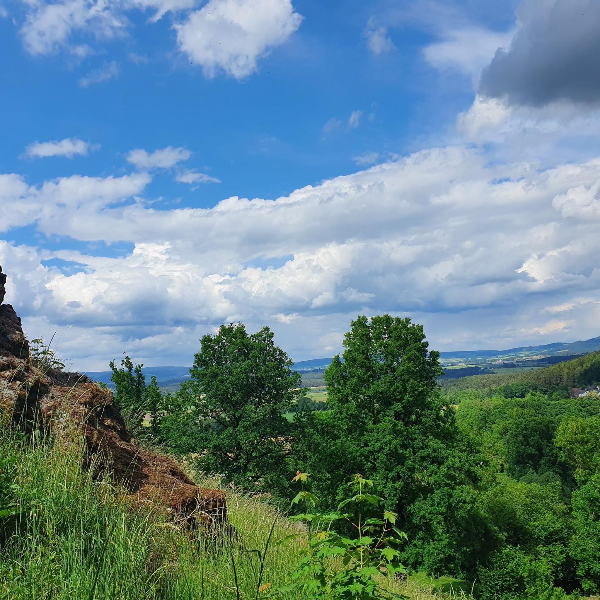
Hiking around Neustadt am Kulm offers diverse experiences within a low mountain range landscape. The region is dominated by the Rauher Kulm, a 681-meter (2,234 ft) basalt mountain, a remnant of ancient volcanic activity. Hikers can explore paths through basalt boulders and extensive wooded areas, including mixed and old beech forests. This area also features rolling hills and forms part of the European watershed.
Best hiking trails around Neustadt am Kulm
- The most popular hiking route is Circular rampart at Rauher Kulm – Rauher Kulm Lookout Tower loop from Neustadt am Kulm, a 5.4 miles (8.8 km) trail that takes 2 hours 33 minutes to complete, offering views from the observation tower.
- Another top favourite among local hikers is Rauher Kulm Lookout Tower – Rauher Kulm Lookout Tower loop from Neustadt am Kulm, an easy 2.9 miles (4.6 km) path that circles the prominent basalt mountain.
- Local hikers also love the Parking Lot P2 Rauher Kulm loop from Neustadt am Kulm, a 5.3 miles (8.5 km) trail leading through varied forests and past the Rauher Kulm, often completed in about 2 hours 22 minutes.
- Hiking around Neustadt am Kulm is defined by basalt mountains, rolling hills, and extensive mixed forests. The network offers options for various ability levels, from easy walks to more challenging routes with significant elevation gain.
- The routes in Neustadt am Kulm are highly rated by the komoot community with an average score of 4.6 stars from over 290 reviews. More than 1300 hikers have used komoot to explore Neustadt am Kulm's varied terrain.
Last updated: July 17, 2026
4.8
(36)
159
hikers
Moderate hike. Good fitness required. Easily-accessible paths. Suitable for all skill levels.
4.6
(43)
160
hikers
Easy hike. Great for any fitness level. Easily-accessible paths. Suitable for all skill levels.

Sign up for free
4.8
(34)
106
hikers
Moderate hike. Good fitness required. Easily-accessible paths. Suitable for all skill levels.
4.9
(28)
121
hikers
Easy hike. Great for any fitness level. Easily-accessible paths. Suitable for all skill levels.
5.0
(4)
8
hikers
Hard hike. Very good fitness required. Easily-accessible paths. Suitable for all skill levels.
Get access to more routes and recommendations from other explorers.
Sign up for free
Already have an account?
Our route recommendations are based on thousands of hikes, rides, and runs completed by other people on komoot.
Start today with a free account
Your next adventure awaits.
Login or Signup
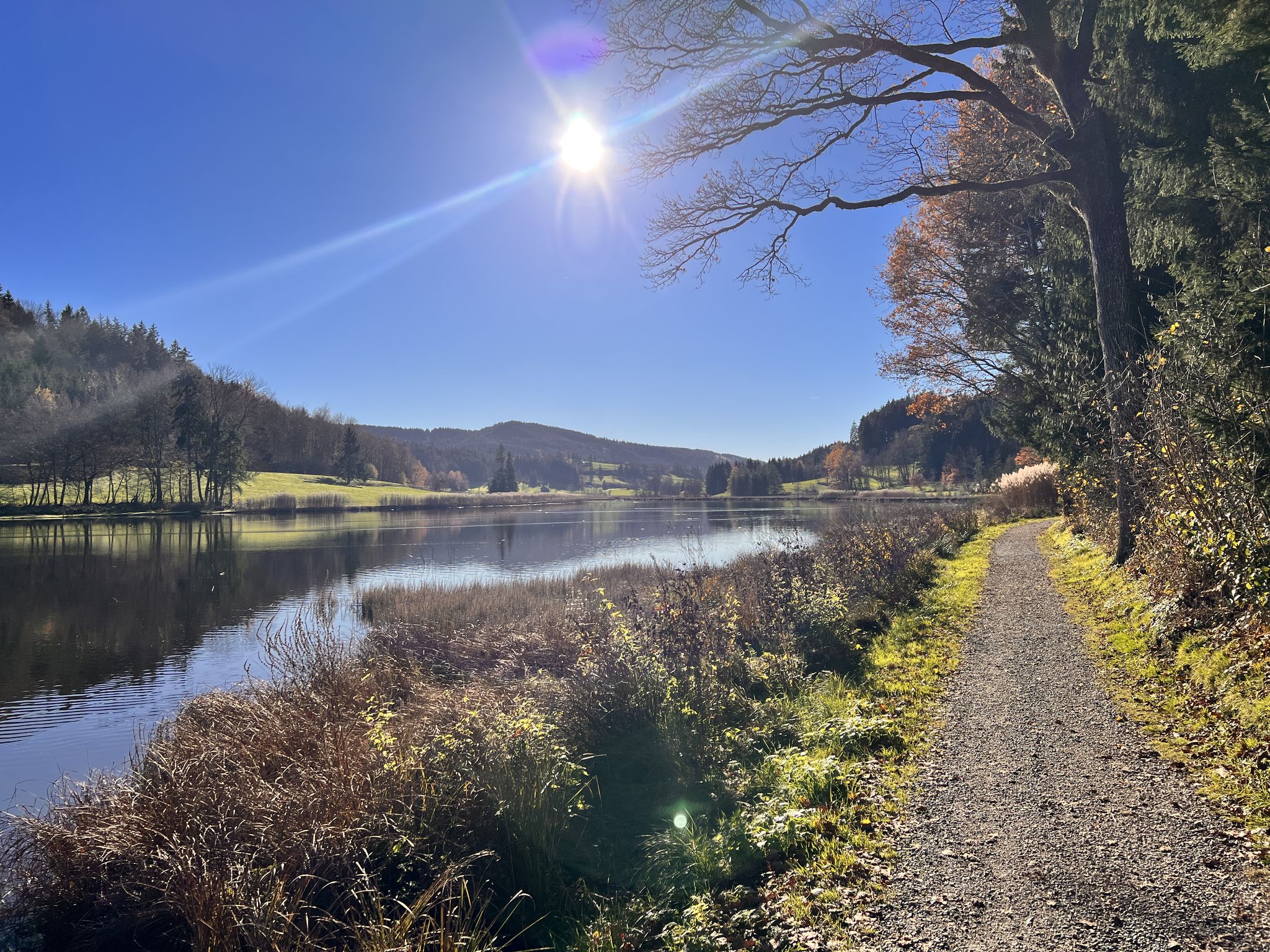
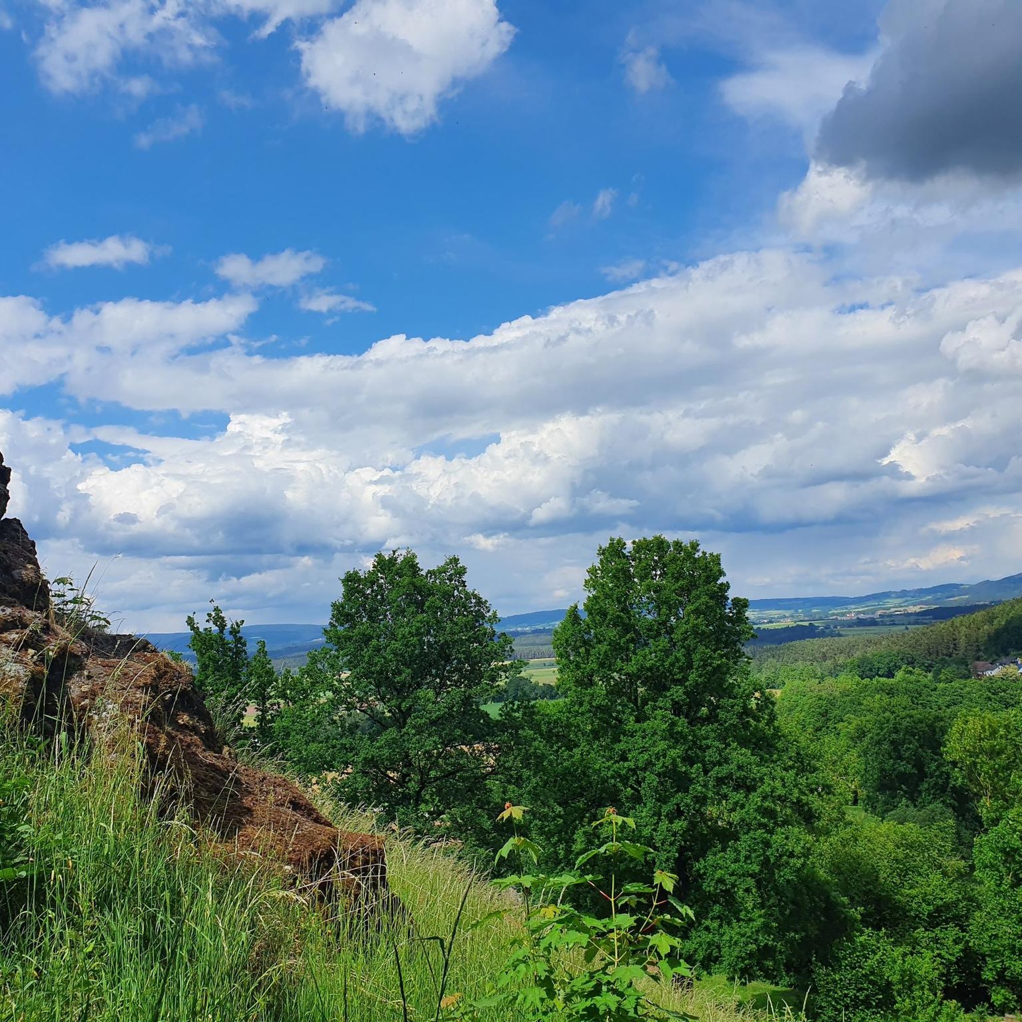
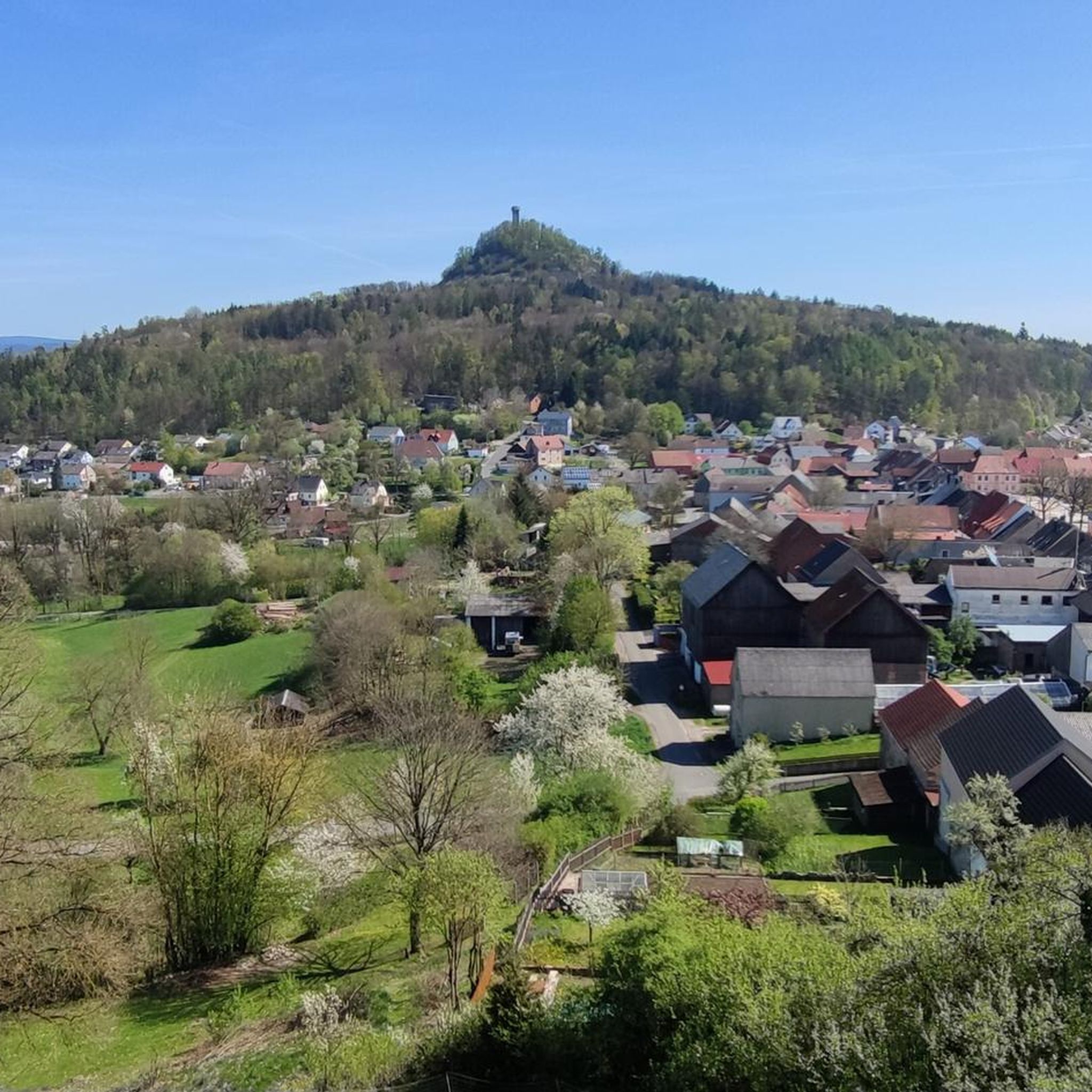
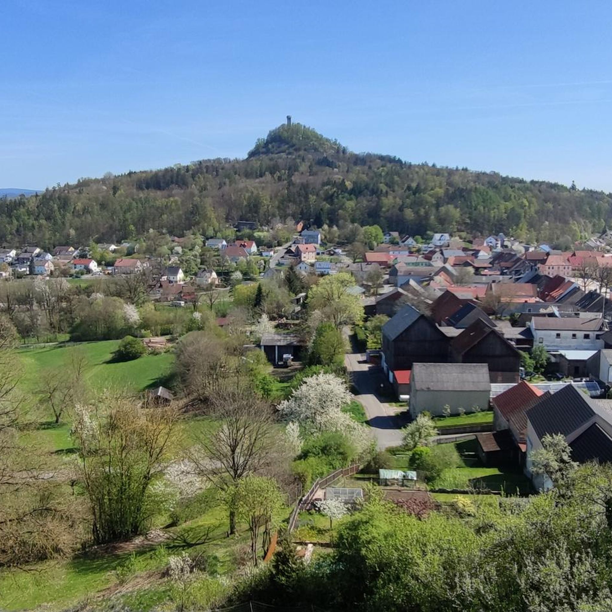

Other adventures around Neustadt am Kulm

Tips from the Community

It's always wonderful to be here again
0
0

Panoramic view from the pilgrimage site Barbaraberg.
0
0

It's best combined with a tour of Speinshart Monastery. The Stations of the Cross and Barbaraberg Church are well worth seeing.
1
0

very beautifully laid out path
1
0
challenging climb - respect to our little miniature pinscher lady that she always found a way to overcome it
0
0
There is something to rest
0
0

The rampart on the Rauher Kulm is a fortification at the foot of the Rauher Kulm. Gate area of the rampart Area disturbed by quarrying The Rauher Kulm, as a basalt mountain in the otherwise flat surroundings, was already visited by people in prehistoric times. The rampart made of basalt blocks runs around the foot of the mountain. Finds point to the Bronze Age, the Celts, the time of the Carolingians and the Slavic settlement chambers. Fighting took place during the time of the Hungarian invasions. Even if the rampart has been disturbed by later interventions, including the creation of an English garden across the entire mountain or the mining of the basalt in quarries, the course can be recognized from the basalt boulders. There is a lower main rampart with at least two gate areas and another fortified area at medium height. The hilltop castle is, however, classified as largely late medieval. Several burial mounds are also known. It is assumed that the settlement was located within the protective wall, so that it was not just a refuge. The predominantly stone remains were reinforced by wooden structures, among other things. There is evidence of post-and-slot walls, kennel-shaped walls and additionally secured gate areas. The cartographer Johann Christoph Stierlein made a drawing of the Rauher Kulm and recorded both the rampart and the hilltop castle.[1] The rampart was researched at the beginning of the 20th century by Adalbert Neischl on behalf of the Nuremberg Natural History Society and Hugo Obermaier, who completed Neischl's work. Hans Losert has been carrying out excavations for over ten years and is responsible for the scientific analysis.
1
0
Frequently Asked Questions
What makes hiking in Neustadt am Kulm unique?
Neustadt am Kulm is distinguished by its unique geological formations, particularly the Rauher Kulm, a 681-meter basalt mountain formed from ancient volcanic activity. Hikers can explore paths through basalt boulders, extensive mixed forests, and enjoy panoramic views from the observation tower atop the Kulm. The region also forms part of the European watershed.
How many hiking trails are available in Neustadt am Kulm?
There are over 60 hiking routes around Neustadt am Kulm, catering to various skill levels. This includes 33 easy trails, 26 moderate routes, and a couple of more challenging options for experienced hikers.
Are there any easy, family-friendly hikes around Neustadt am Kulm?
Yes, Neustadt am Kulm offers several easy routes suitable for families. An excellent option is the Rauher Kulm Lookout Tower – Rauher Kulm Lookout Tower loop from Neustadt am Kulm, an easy 4.6 km path that circles the prominent basalt mountain. The Rauher Kulm Lookout Tower – Circular rampart at Rauher Kulm loop from Neustadt am Kulm is another easy, shorter option.
What kind of natural features can I expect to see on the trails?
Beyond the striking basalt formations of the Rauher Kulm, you'll encounter rolling hills, varied mixed forests, and old beech forest stands. A notable natural attraction is the Höllbacher Wasserfall, an impressive waterfall ideal for a scenic stop. The region's volcanic past is evident in the basalt boulders along many paths.
Are there any circular walks available?
Yes, many routes in Neustadt am Kulm are circular. A popular choice is the Circular rampart at Rauher Kulm – Rauher Kulm Lookout Tower loop from Neustadt am Kulm, which offers views from the observation tower. Another option is the Parking Lot P2 Rauher Kulm loop from Neustadt am Kulm, leading through varied forests and past the Rauher Kulm.
What are the best seasons for hiking in Neustadt am Kulm?
The best seasons for hiking in Neustadt am Kulm are spring and autumn. During these times, temperatures are mild, and nature is at its most vibrant, offering beautiful scenery with blooming flowers or colorful foliage.
Are there any historical landmarks or attractions to visit along the hiking routes?
Yes, hikers can explore several historical sites. The Circular rampart at Rauher Kulm itself has historical significance. Additionally, the Waldeck Castle Ruins, one of the oldest castles in the Upper Palatinate, offers both historical interest and phenomenal views. You can also find the Old Cellar Vault at Waldeck Castle Ruins nearby.
What do other hikers enjoy most about the trails in Neustadt am Kulm?
The trails in Neustadt am Kulm are highly rated by the komoot community, with an average score of 4.6 stars from over 290 reviews. Hikers often praise the diverse terrain, the unique basalt formations, and the rewarding panoramic views from the Rauher Kulm observation tower.
Is there an observation tower or viewpoint with good views?
Yes, the observation tower on top of the Rauher Kulm is a key attraction. Standing 25 meters tall, it provides breathtaking panoramic views across the landscape, including the red roofs of Neustadt am Kulm, and on clear days, even to the distant Fichtel Mountains and Franconian Switzerland.
Are there any challenging hikes for experienced trekkers?
While most trails are easy to moderate, the region does offer some more demanding climbs. The 'Ascent of Rauher Kulm' tours, such as the Ascent of Rauher Kulm – Circular rampart at Rauher Kulm loop from Neustadt am Kulm, involve significant elevation gain, rewarding hikers with spectacular views from the summit.
Can I find places to eat or drink near the hiking trails?
Yes, there are options for refreshments. For example, the Tauritzmühle Beer Garden and Inn is a highlight in the area, offering a place to relax and refuel after your hike. You might also find local inns and cafes in Neustadt am Kulm itself.
Most popular routes around Neustadt am Kulm
Most popular attractions around Neustadt am Kulm

Get inspired with the komoot mobile app


Explore more
Browse the best Hikes in other regions.
