The best road cycling routes around Neuhaus am Inn
4.6
(664)
10,549
riders
518
rides
Road cycling around Neuhaus am Inn offers diverse terrain, from flat paths along the Inn River to gentle ascents through rolling hills. The region is characterized by lush green meadows and riparian forests, providing scenic routes. Cyclists can explore the Lower Inn Valley, which features a network of well-maintained paths and cycleways. This landscape provides varied road cycling terrain suitable for different fitness levels.
Best road cycling routes around Neuhaus am Inn
- The most popular road cycling route is Upper…
Last updated: May 16, 2026
4.0
(11)
127
riders
Moderate road ride. Great for any fitness level. Some segments of this route may be unpaved and difficult to ride.
4.7
(6)
93
riders
62.1km
03:14
970m
970m
Hard road ride. Very good fitness required. Some segments of this route may be unpaved and difficult to ride.

Sign up for free
4.7
(6)
62
riders
44.7km
02:00
120m
120m
Moderate road ride. Great for any fitness level. Some segments of this route may be unpaved and difficult to ride.
3.5
(2)
26
riders
50.1km
02:31
680m
680m
Moderate road ride. Good fitness required. Mostly well-paved surfaces and easy to ride.
4.3
(3)
76
riders
57.0km
02:39
260m
260m
Moderate road ride. Good fitness required. Mostly well-paved surfaces and easy to ride.
Get access to more routes and recommendations from other explorers.
Sign up for free
Already have an account?
Our route recommendations are based on thousands of hikes, rides, and runs completed by other people on komoot.
Start today with a free account
Your next adventure awaits.
Login or Signup
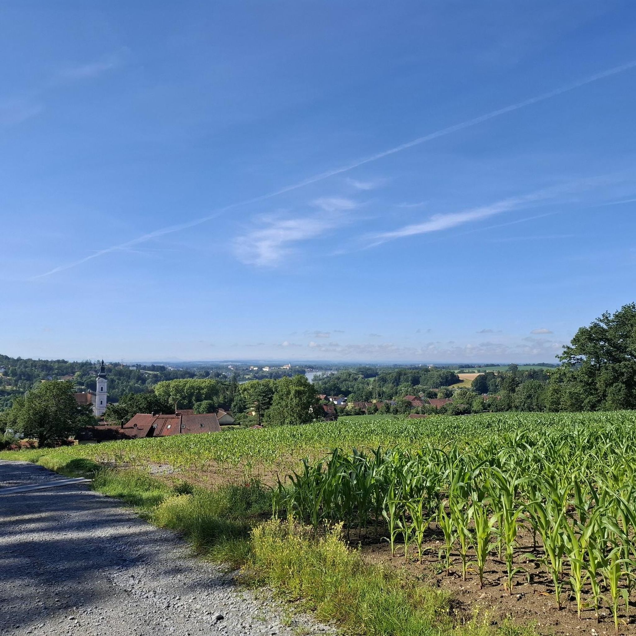
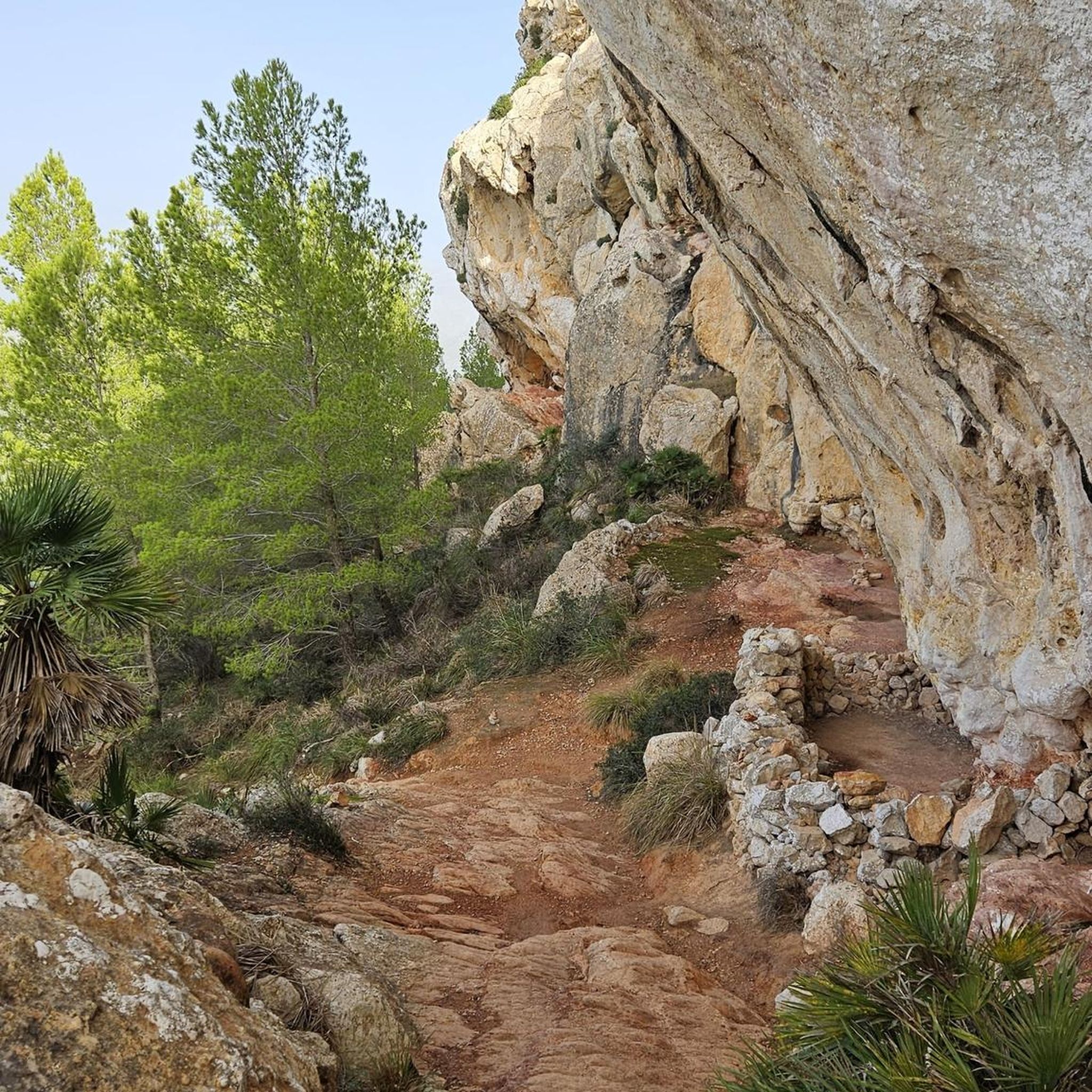
Other adventures around Neuhaus am Inn

Tips from the Community

Beautiful structure, must be used on foot, was not displayed multiple times during route planning, so pay close attention.
0
0

Ried im Innkreis is a town in western Upper Austria with 12,766 inhabitants, located approximately 80 kilometers west of Linz and 60 kilometers northeast of Salzburg. It is the district capital of the Ried district and a regional center within the Innviertel region. It is also the center of the Ried im Innkreis judicial district.
2
0
Ried is situated in the heart of the Innviertel hill country, in a depression of the Alpine foothills north of the Hausruck Forest. The town's name derives from the Middle High German word "Riet" (also: "Rieth," "Reet," "Rohr," and similar terms), meaning reeds growing on riverbanks and marshy ground. A spot where the gradient of the two rivers, Oberach and Breitsach, slowed and saturated the soil gave the town its name. The two rivers converge north of the old town to form the Rieder Bach, a stream that flows for 2.6 kilometers before emptying into the Antiesen River outside the town limits. Ried im Innkreis lies at an altitude of 433 meters. It extends 3.2 kilometers from north to south and 3.6 kilometers from west to east, covering a total area of 6.7 square kilometers.
3
0
Originally a 15th-century Gothic church, the nave was demolished in 1720 and replaced with a new Baroque structure. At the same time, the chancel was also redesigned in the Baroque style. The tower was heightened in 1731/32, its upper section was altered in 1868, and a new spire was added in 1930.
2
0
Ried im Innkreis is a town in western Upper Austria with 12,766 inhabitants, located approximately 80 kilometers west of Linz and 60 kilometers northeast of Salzburg. It is the district capital of the Ried district and a regional center within the Innviertel region. It is also the center of the Ried im Innkreis judicial district.
2
0

The Mariensteg is a 145-meter-long bridge that connects the municipalities of Neuburg am Inn and Wernstein am Inn across the border.
1
0
The town square and the brewery and tanner's house in Ried im Innkreis.
0
0
The Roman Catholic parish church of Saints Peter and Paul.
0
0
Frequently Asked Questions
What kind of terrain can I expect when road cycling around Neuhaus am Inn?
The region offers diverse terrain, from flat, well-maintained paths along the Inn River to gentle ascents through the rolling hills of the Bavarian Forest. You'll encounter lush green meadows and impressive riparian forests, providing scenic beauty. The Lower Inn Valley features a network of well-maintained paths and cycleways, with some routes also including unpaved sections.
How many road cycling routes are available in Neuhaus am Inn?
There are over 500 road cycling routes around Neuhaus am Inn, catering to various preferences and fitness levels. This includes 65 easy routes, 385 moderate routes, and 83 difficult routes, ensuring options for every cyclist.
What is the best time of year for road cycling in Neuhaus am Inn?
Spring and summer are the prime cycling seasons in Neuhaus am Inn, offering lush green meadows and impressive riparian forests. The weather during these months is generally ideal for exploring the region's diverse landscapes.
Are there family-friendly or easy road cycling routes in the area?
Yes, Neuhaus am Inn offers numerous easy routes suitable for families and beginners. For example, the Schärding Town Square – Upper Town Square, Schärding loop from Suben is an easy 30.7 km path with minimal elevation gain, perfect for a relaxed ride. The Inn Cycle Path, which passes through Neuhaus am Inn, is also known for its mostly flat sections and family-friendly nature.
Are there challenging road cycling routes for experienced cyclists?
Absolutely. For those seeking a challenge, there are 83 difficult routes in the region. A notable example is the View of Schloss Neuburg – View of Obernzell loop from Schärding, a difficult 61.5 km path featuring significant elevation gain and offering views of historic landmarks.
What historical landmarks or attractions can I see along road cycling routes?
Many routes pass by significant landmarks. You can cycle past Neuhaus Castle on the Inn, a historic castle rebuilt in 1724. The charming Baroque town of Schärding, with its Silberzeile, is also easily accessible and offers a pleasant break. Further afield, the 'three-river city' of Passau, with its historic Old Town, is a cultural highlight.
Are there any scenic viewpoints along the road cycling routes?
Yes, the region offers several scenic spots. You can find viewpoints like the Panoramic view with Veste, Ortsspitze, and the confluence of the Ilz and Danube near Passau, or the Inn Promenade Schärding. Schweiklberg Monastery also provides breathtaking panoramic views of Neuhaus am Inn and the surrounding valley.
Are there circular road bike routes available around Neuhaus am Inn?
Yes, many routes are designed as loops, allowing you to start and end in the same location. Examples include the Upper Town Square, Schärding – Obernberg am Inn Market Square loop from Schärding and the Inn Promenade – Passau Gate loop from Schärding, which leads through river landscapes.
What do other road cyclists say about the routes in Neuhaus am Inn?
The road cycling routes in Neuhaus am Inn are highly rated by the komoot community, with an average score of 4.6 stars from over 600 reviews. More than 10,000 road cyclists have used komoot to explore the varied terrain, often praising the serene river landscapes and rolling hills.
Are there places to stop for refreshments or accommodation along the routes?
Yes, the region is well-equipped for cyclists. The charming Baroque town of Schärding, directly adjacent to Neuhaus am Inn, offers lively cafes and is a popular spot for a break. Many routes also pass through smaller villages where you can find local eateries and guesthouses.
Where can I find parking for road cycling in Neuhaus am Inn?
Many popular starting points for routes, such as Schärding, offer parking facilities. It's advisable to check local parking options in the specific town or village where you plan to begin your ride.
Are there specific routes that follow river paths?
Yes, the Inn Cycle Path is a major European cycle path that passes directly through Neuhaus am Inn, offering scenic and cultural insights along the river. The Rottal Cycle Path also follows the Rottal river valley, showcasing idyllic river meadows.
Most popular routes around Neuhaus am Inn
Most popular attractions around Neuhaus am Inn

Get inspired with the komoot mobile app


Explore more
Browse the best Road cycling routes in other regions.
