The best walks and hikes around Neuensorger Forst
4.6
(6409)
20,693
hikers
1,084
hikes
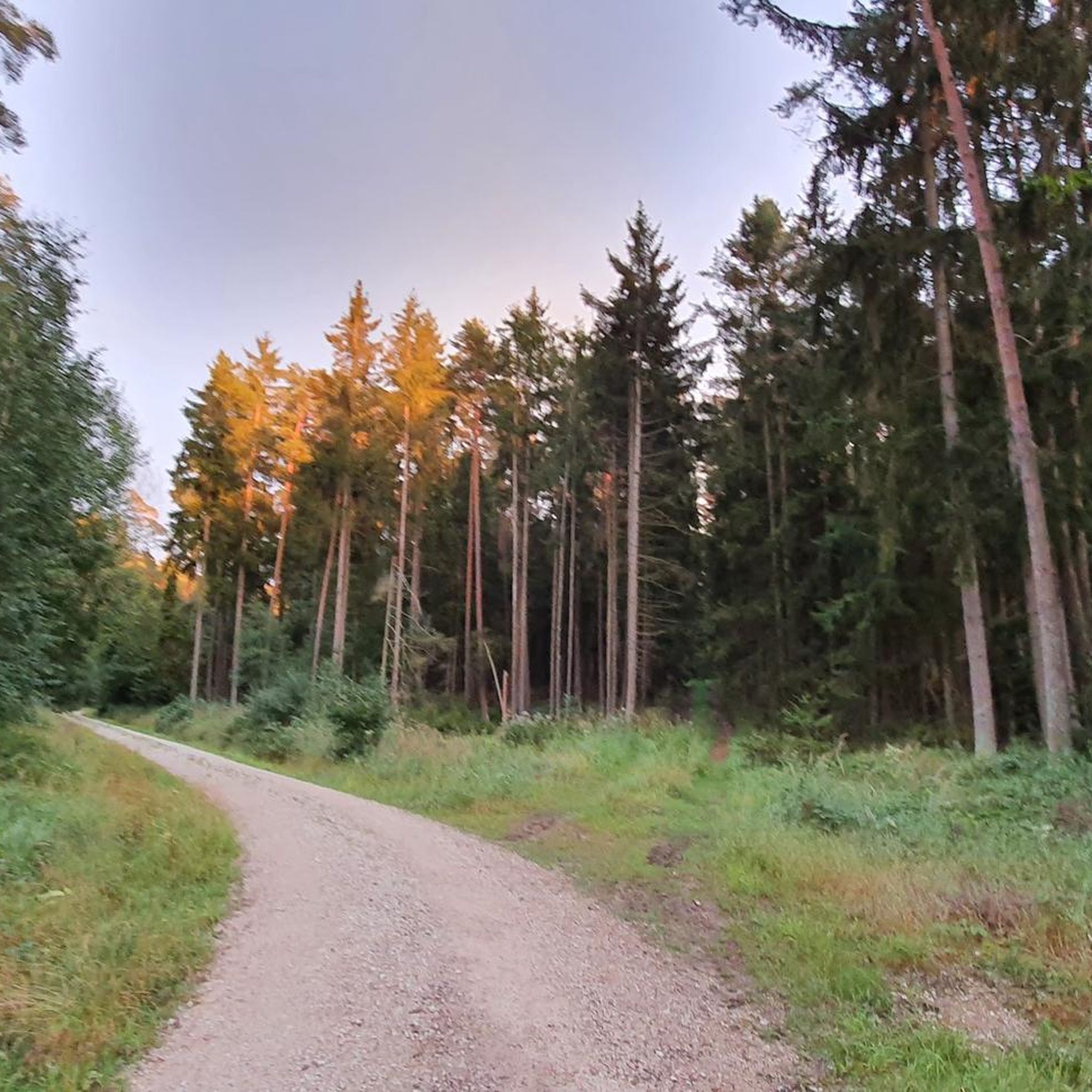
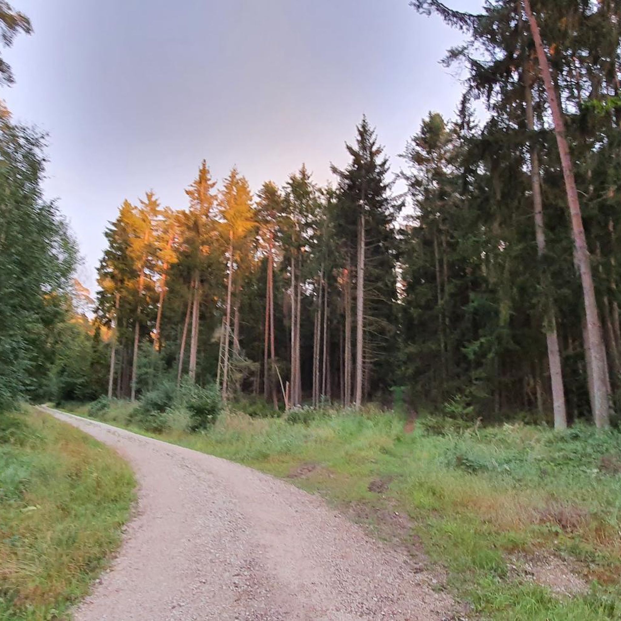
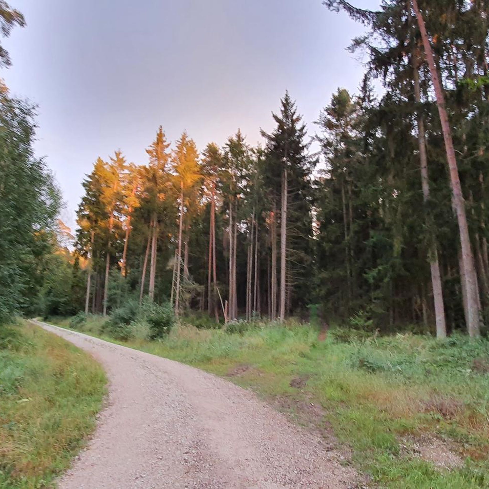
Hiking around Neuensorger Forst offers diverse experiences within the Upper Franconia region of Bavaria, Germany. This state forest is characterized by varied terrain, including dense woodlands and notable elevations. The area features the Hohe Aßlitz, the highest point at 379 meters, and the Lutzenstein Rock, which provides scenic views. The landscape is part of a broader region known for its natural beauty and geological formations.
Best hiking trails around Neuensorger Forest
- The most popular hiking route is Hohe Asslitz Summit…
Last updated: July 25, 2026
4.6
(27)
93
hikers
6.40km
01:49
130m
130m
Easy hike. Great for any fitness level. Easily-accessible paths. Suitable for all skill levels.
4.7
(15)
41
hikers
Easy hike. Great for any fitness level. Easily-accessible paths. Suitable for all skill levels.

Sign up for free
4.7
(13)
28
hikers
3.68km
01:00
40m
40m
Easy hike. Great for any fitness level. Easily-accessible paths. Suitable for all skill levels.
5.0
(2)
19
hikers
11.4km
03:08
170m
170m
Moderate hike. Good fitness required. Easily-accessible paths. Suitable for all skill levels.
5.0
(3)
19
hikers
Easy hike. Great for any fitness level. Easily-accessible paths. Suitable for all skill levels.
Get access to more routes and recommendations from other explorers.
Sign up for free
Already have an account?
Our route recommendations are based on thousands of hikes, rides, and runs completed by other people on komoot.
Start today with a free account
Your next adventure awaits.
Login or Signup

Tips from the Community

Protected by two thuja bushes, this beautiful wayside cross can be found on Privatgrund on Sportplatzstraße.
1
0
Now the path leads us directly along the pond. The last two information boards "fresh fish" 12 and Neuenseer Weiher" 13 point to the long-standing fish farming tradition. The coots and great crested grebes will announce you loudly. [ Source: from the flyer Nature Trail "Around the Neuenseer Weiher" ]
1
0
Information about the former water supply in Neuensee is told to us by the information board "Tiefbrunnen" 9. Here everyone can enjoy fresh spring water directly from the well. [ Source: from the nature trail flyer: "Rund um den Neuenseer Weiher" ]
1
0
The former bathing area invites children to explore and discover. A wild bee hotel, bat boxes, and the "Wasser" 4 information board complement this romantic spot by the former beer cellar and waterworks. [ Source: from the flyer Nature Trail: "Rund um den Neuenseer Weiher" ]
1
0

Large bench with table for a break
0
0


Located in the Rödertal - nice resting place - children can have fun here by the water
1
0
Frequently Asked Questions
What natural landmarks or viewpoints can I discover in Neuensorger Forest?
Neuensorger Forest offers several notable natural features. You can visit the Lutzenstein Rock, which provides a beautiful viewpoint over the Neuenseer Weiher (Neuensee Lake). The Hohe Aßlitz Summit, at 379 meters, is the highest elevation, and while dense trees may obscure panoramic views, it's a significant point. Additionally, the Titus Cave is an accessible attraction, often featured on popular hiking loops.
Are there family-friendly hiking trails in Neuensorger Forest?
Yes, Neuensorger Forest has many easy trails suitable for families. Over 600 of the routes are classified as easy, offering gentle exploration of the forest's natural features. For example, the Titus Cave – Hohe Asslitz Summit loop from Michelau in Oberfranken is an easy 3.6-mile (5.8 km) path that explores both the Hohe Aßlitz and Titus Cave.
Can I bring my dog on the hiking trails in Neuensorger Forest?
Generally, dogs are welcome on the hiking trails in Neuensorger Forest. It's always recommended to keep your dog on a leash, especially in areas with wildlife or near other hikers, and to clean up after them. The forest environment provides a great setting for walks with your canine companion.
What is the best time of year to go hiking in Neuensorger Forest?
Neuensorger Forest is enjoyable throughout the year, with each season offering a unique experience. Spring brings fresh greenery, summer provides cool shade under the canopy, and autumn transforms the forest with vibrant colors. Even in winter, the trails can be beautiful for a crisp walk, though some paths might be slippery or covered in snow.
Are there options for winter hiking in Neuensorger Forest?
Yes, winter hiking is possible in Neuensorger Forest. The trails remain accessible, offering a peaceful and often picturesque experience with snow-covered trees. Be sure to wear appropriate footwear for potentially icy or snowy conditions and check local weather forecasts before heading out.
Is there parking available for hikers in Neuensorger Forest?
While specific parking areas are not detailed in the guide, the forest is situated between several municipalities like Ebersdorf bei Coburg, Weidhausen bei Coburg, Michelau in Oberfranken, and Lichtenfels. It is generally possible to find parking near trailheads or in the surrounding villages, which serve as common starting points for hikes.
How can I reach Neuensorger Forest using public transport?
Neuensorger Forest is located in Upper Franconia, Bavaria. While direct public transport access into the forest itself might be limited, you can typically reach the nearby municipalities such as Michelau in Oberfranken or Lichtenfels via regional train or bus services. From these towns, you can then access various trailheads on foot or with a short local connection.
What do other hikers enjoy the most about hiking in Neuensorger Forest?
The area is highly rated by the komoot community, with an average score of 4.6 stars from over 5,400 reviews. Hikers often praise the diverse forest environments, the well-maintained trails, and the opportunity to explore natural features like the Hohe Aßlitz summit and the Lutzenstein Rock viewpoint. The variety of routes caters to different ability levels, making it popular among many.
Are there places to eat or drink near the hiking trails in Neuensorger Forest?
Neuensorger Forest is surrounded by several charming Bavarian municipalities, including Michelau in Oberfranken and Lichtenfels. These towns offer various options for refreshments, from traditional Bavarian pubs and restaurants to cafes where you can enjoy a meal or a drink after your hike.
What are the different difficulty levels of hiking trails available?
Neuensorger Forest offers a range of hiking trails to suit various fitness levels. The majority of routes are classified as easy, with over 600 options for a gentle walk. There are also moderate trails for those seeking a bit more challenge, and a smaller number of difficult routes for experienced hikers looking for a more demanding excursion.
Are there any circular walks available in Neuensorger Forest?
Yes, many of the trails in Neuensorger Forest are designed as circular walks, allowing you to start and end your hike at the same point. An example is the Hohe Asslitz Summit loop from Neuensorger Forst, which offers a convenient way to explore the area without retracing your steps.
How many hiking trails are there in Neuensorger Forest?
Neuensorger Forest boasts an extensive network of hiking trails, with over 1,000 routes available for exploration. This includes a wide variety of options, from easy strolls to more challenging hikes, ensuring there's something for every preference and fitness level.
Most popular routes around Neuensorger Forst
Most popular attractions around Neuensorger Forst

Get inspired with the komoot mobile app


Explore more
Browse the best Hikes in other regions.
