The best road cycling routes around Neuharlingersiel
4.5
(150)
2,254
riders
33
rides
Road cycling around Neuharlingersiel is characterized by its flat terrain and extensive network of cycle paths. The region features a picturesque coastline and the unique Wadden Sea, a UNESCO World Heritage site. Minimal elevation changes across the East Frisian countryside make it suitable for relaxed exploration. Routes primarily follow the coast, offering views of the North Sea.
Best road cycling routes around Neuharlingersiel
- The most popular road cycling route is North Sea Dike Cycling Path – Benser Siel loop from Neuharlingersiel, an 11.5 miles (18.5 km) trail that takes about 47 minutes to complete. This easy route follows the North Sea dike, offering open coastal views.
- Another top favourite among local road cyclists is Pelde Mill, Esens – North Sea Dike Cycling Path loop from Neuharlingersiel, a moderate 32.2 miles (51.8 km) path. This route combines coastal sections with inland views, passing by the historic Pelde Mill.
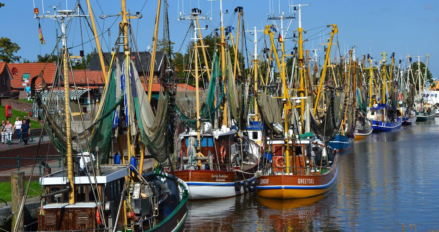
- Local road cyclists also love the Neuharlingersiel Harbor – Neuharlingersiel Harbour loop from Neuharlingersiel, a 12.2 miles (19.7 km) trail leading through the charming harbor area, often completed in about 47 minutes.
- Road cycling around Neuharlingersiel is defined by coastal paths, the Wadden Sea, and flat terrain. The network offers options for easy and moderate ability levels.
- The routes in Neuharlingersiel are highly rated by the komoot community with an average score of 4.6 stars from more than 20 reviews. More than 400 road cyclists have used komoot to explore Neuharlingersiel's varied terrain.
Last updated: May 20, 2026
4.3
(3)
85
riders
Easy road ride. Great for any fitness level. Mostly well-paved surfaces and easy to ride.
5.0
(2)
50
riders
Moderate road ride. Good fitness required. Mostly well-paved surfaces and easy to ride.

Sign up for free
5.0
(1)
52
riders
Easy road ride. Great for any fitness level. Mostly well-paved surfaces and easy to ride.
4.7
(6)
19
riders
Moderate road ride. Good fitness required. Some segments of this route may be unpaved and difficult to ride.
23
riders
36.0km
01:25
50m
50m
Easy road ride. Great for any fitness level. Mostly well-paved surfaces and easy to ride.
Get access to more routes and recommendations from other explorers.
Sign up for free
Already have an account?
Our route recommendations are based on thousands of hikes, rides, and runs completed by other people on komoot.
Start today with a free account
Your next adventure awaits.
Login or Signup
Other adventures around Neuharlingersiel

Tips from the Community

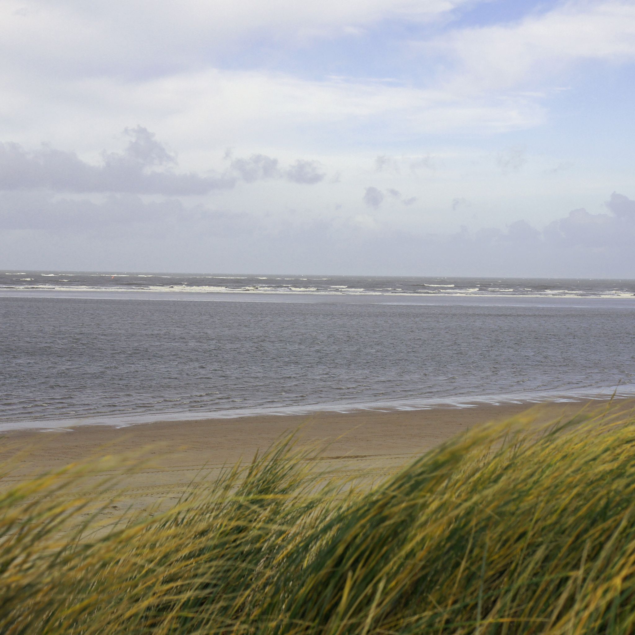
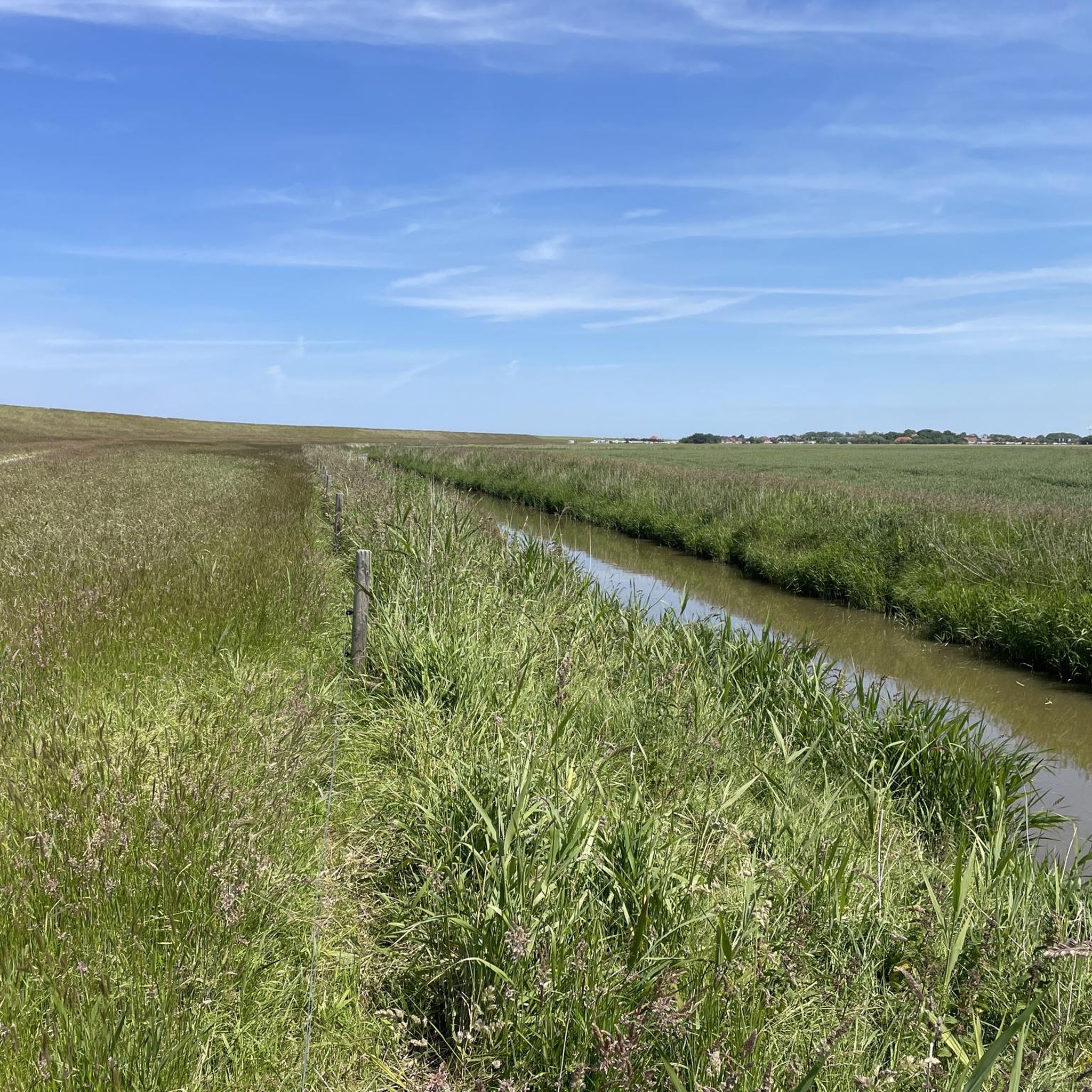
The cycle path directly on the water with a view of the islands is simply great and it always looks different.
0
0

Great idea - great recipes - and delicious!
0
0
The sea rescue boat was christened WALTHER MÜLLER on July 30, 1977, in Bardenfleth, named after a supporter of the DGzRS. It belongs to the 9 m class of the DGzRS. The rescue boat was decommissioned in 2006 and handed over to the open-air harbor museum Dornumersiel/Westeraccumersiel. The former rescue boat WALTHER MÜLLER now stands in front of the old rescue shed (N53°40'23" E7°28'45") in Westeraccumersiel. It is intended to commemorate the sea rescue station at the Friedrichschleuse, which existed until 1960, and was ceremonially renamed on October 8, 2006, in honor of the first coxswain 'EPPE DE BLOOM' of the former station.
0
0

The Westeraccum Windmill is a beautiful old mill.
0
0

The bicycle highway along the dike. Wide, smooth tarmac road, with the occasional sheep gate and the occasional crossing animal. Overall, perfect for a brisk road bike ride!
0
0

Very wide cycle path, here the racing bike rolls
0
0

Everything at once: A velodrome – by the sea, on the mudflats, sheep huddled in the grass in strong winds, geese, beach chairs. 10 km ascent/descent depending on the wind direction.
2
0
Frequently Asked Questions
What is the general terrain like for road cycling around Neuharlingersiel?
The region around Neuharlingersiel is characterized by its exceptionally flat terrain, making it ideal for road cyclists of all levels. You'll find minimal elevation changes across the East Frisian countryside, allowing for relaxed exploration and scenic rides along the coast and through charming villages.
How many road cycling routes are available in the Neuharlingersiel area?
There are over 30 road cycling routes around Neuharlingersiel, offering a variety of distances and experiences. These routes are well-suited for exploring the coastal landscapes and inland areas.
Are there easy road cycling routes suitable for beginners or leisurely rides?
Yes, Neuharlingersiel offers several easy road cycling routes. For example, the North Sea Dike Cycling Path – Benser Siel loop from Neuharlingersiel is an easy 11.5-mile (18.5 km) trail that follows the North Sea dike, providing open coastal views without significant climbs.
What kind of natural features and landscapes can I expect to see while cycling?
You'll primarily experience the unique coastal landscape, including the UNESCO World Heritage Wadden Sea, extensive sandy beaches, and coastal paths. Many routes offer refreshing sea air and expansive views of the North Sea. Inland, you might encounter idyllic parks and green spaces.
Are there any specific landmarks or attractions I can visit along the road cycling routes?
Absolutely. Many routes pass by or near interesting points. You can cycle past the historic Neuharlingersiel Harbour and Fishermen’s Statues, or explore other nearby harbors like Carolinensiel Museum Harbor and Harlesiel Harbour. Some routes also offer views of lakes and birdwatching spots, such as the Birdwatching Spot at the North Sea.
What is the best time of year for road cycling in Neuharlingersiel?
The flat terrain makes Neuharlingersiel enjoyable for road cycling for much of the year. Spring and summer generally offer the most pleasant weather with fresh sea air and longer daylight hours, perfect for coastal rides. However, the region's charm can be experienced in other seasons too, with appropriate gear.
Are there any longer or more challenging road cycling routes for experienced riders?
While the region is generally flat, there are moderate routes that offer longer distances. For instance, the Pelde Mill, Esens – North Sea Dike Cycling Path loop from Neuharlingersiel is a moderate 32.2-mile (51.8 km) path that combines coastal sections with inland views, passing by the historic Pelde Mill. There are no routes classified as difficult in this area.
Can I find circular road cycling routes in Neuharlingersiel?
Yes, many of the road cycling routes around Neuharlingersiel are designed as loops, allowing you to start and end in the same location. Examples include the Neuharlingersiel Harbor – Neuharlingersiel Harbour loop from Neuharlingersiel, which is a charming 12.2-mile (19.7 km) ride through the harbor area.
What do other road cyclists say about the routes in Neuharlingersiel?
The road cycling routes in Neuharlingersiel are highly rated by the komoot community, with an average score of 4.6 stars from over 20 reviews. Cyclists often praise the well-maintained paths, the stunning coastal scenery, and the relaxed atmosphere for enjoyable rides.
Are there family-friendly road cycling options in Neuharlingersiel?
The flat terrain and extensive network of paved cycle paths make Neuharlingersiel very suitable for family-friendly road cycling. Many easy routes, particularly those along the dike, are perfect for families looking for a relaxed and safe riding experience with scenic views.
Where can I find parking for road cycling routes in Neuharlingersiel?
Neuharlingersiel offers various parking options, especially near the harbor and main attractions, which often serve as convenient starting points for cycling routes. Specific parking details can often be found on local tourism websites or within individual route descriptions on komoot.
Are there opportunities to combine cycling with other activities, like boat trips?
Yes, Neuharlingersiel's harbor is a vibrant hub where you can easily combine your cycling trip with other activities. From here, you can take boat trips, including excursions to the nearby island of Spiekeroog or tours into the Wadden Sea, offering a diverse outdoor experience.
Most popular routes around Neuharlingersiel
Most popular attractions around Neuharlingersiel

Get inspired with the komoot mobile app


Explore more
Browse the best Road cycling routes in other regions.
