The best road cycling routes around Naila
4.7
(195)
2,040
riders
53
rides
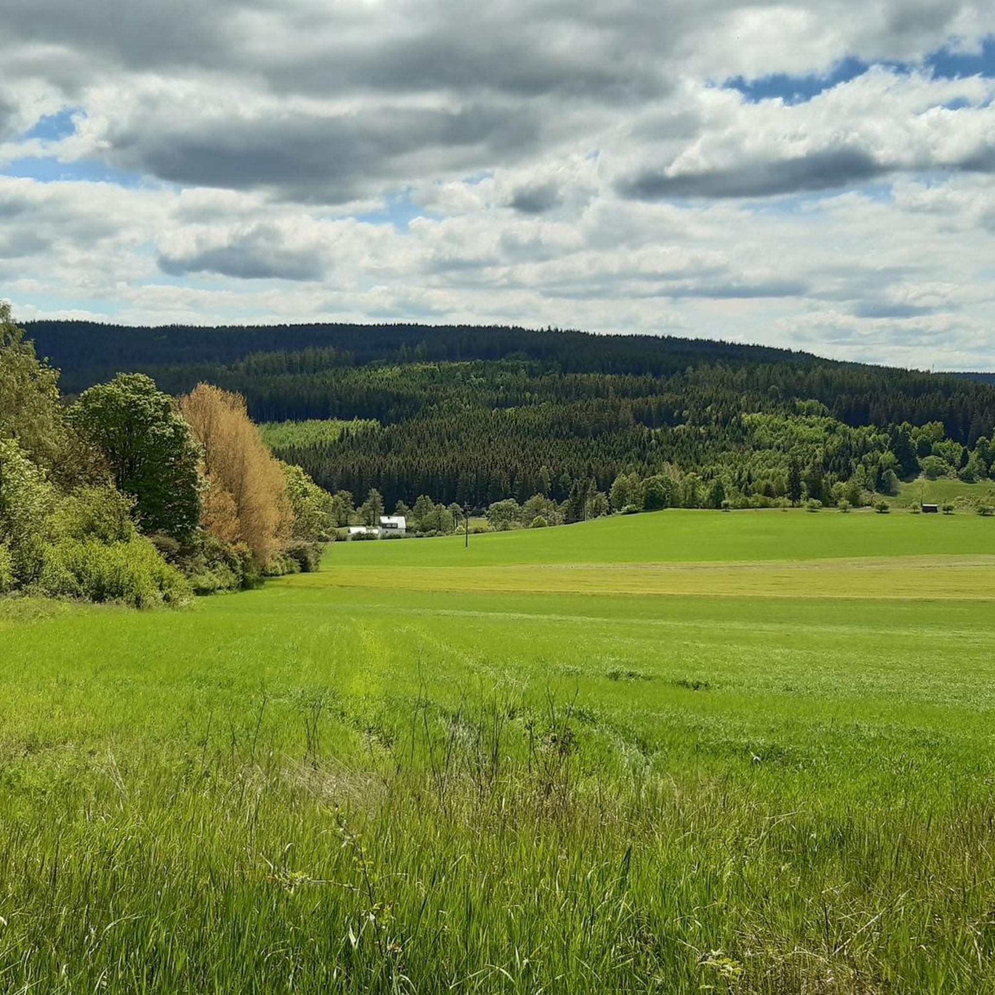
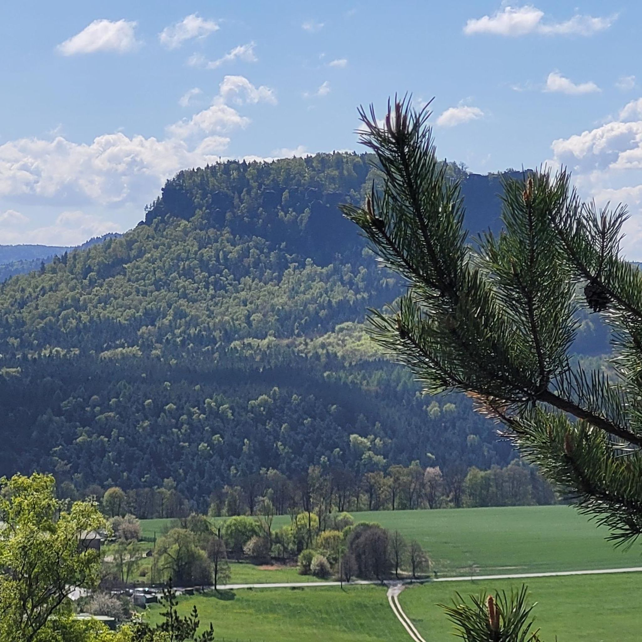
Road cycling routes around Naila are situated within the Frankenwald (Franconian Forest), a low mountain range in Upper Franconia, Germany. This region features dense forests and undulating hills, providing varied terrain for cyclists. Routes often follow river valleys, such as the Selbitz River Valley, and pass through natural formations like the Höllental gorge. The landscape offers a mix of ascents and scenic stretches suitable for road cycling.
Best road cycling routes in Naila
- The most popular road cycling route is…
Last updated: September 30, 2026
5.0
(1)
26
riders
52.0km
02:30
700m
700m
Moderate road ride. Good fitness required. Mostly well-paved surfaces and easy to ride.
3.0
(2)
24
riders
62.2km
03:01
890m
890m
Moderate road ride. Good fitness required. Mostly well-paved surfaces and easy to ride.

21
riders
Moderate road ride. Good fitness required. Some segments of this route may be unpaved and difficult to ride.
5.0
(1)
13
riders
53.1km
03:03
1,050m
1,050m
Hard road ride. Very good fitness required. Some segments of this route may be unpaved and difficult to ride.
4.5
(4)
28
riders
26.1km
01:27
270m
270m
Moderate road ride. Great for any fitness level. Some segments of this route may be unpaved and difficult to ride.
Get access to more routes and recommendations from other explorers.
Already have an account?
Our route recommendations are based on thousands of hikes, rides, and runs completed by other people on komoot.
Start today with a free account
Your next adventure awaits.




Tips from the Community

Formerly part of the Naila–Schwarzenbach railway line; the route was converted into a cycle and hiking path
1
0

A beautiful building that stands out.
0
0

Has since been restored and looks visually very appealing.
0
0

This old quarry impressed me a lot.
2
0

The only possibility for cyclists to cross the Rodach, coming from Neuses, towards the State Garden Show grounds - and vice versa.
0
0
Interesting church with beautiful interior and 15th-century frescoes.
1
0

An excellent cycle path on the former railway line. It's almost completely flat, free of potholes and uneven surfaces. The route is also relatively quiet, making it ideal for really picking up speed. The surrounding scenery is particularly charming. Overall, this cycle path is highly recommended.
0
0

Beautiful asphalted cycle path, very easy to ride.
1
0
Frequently Asked Questions
What kind of terrain can I expect on road cycling routes around Naila?
The Naila region, situated within the Frankenwald (Franconian Forest), offers diverse terrain for road cyclists. You'll encounter undulating hills and dense forests, with routes often following picturesque river valleys like the Selbitz River Valley. This mix provides both scenic stretches and challenging ascents.
Are there challenging road cycling routes in the Naila region?
Yes, Naila offers several challenging road cycling routes. For instance, the Market Square Saalburg (Saale) – Bad Lobenstein Market Square loop from Höllenthal is rated as difficult due to its significant climbs, covering 33.1 miles (53.3 km) with over 1000 meters of elevation gain. Other moderate routes like the Long Ascent to Presseck – Steinbühl Quarry Lake loop from Naila also feature notable elevation.
Are there easier road cycling options for beginners in Naila?
While many routes feature undulating terrain, there are options suitable for those seeking a less strenuous ride. The region's network includes routes with varying difficulty levels, and you can find easier stretches, particularly along river valleys. Komoot lists 2 easy routes and 37 moderate routes, offering a good range for different skill levels.
What natural features or landmarks can I see while road cycling near Naila?
Road cycling routes around Naila often pass through notable natural features. You can experience the dramatic Höllental (Frankenwald Nature Park), ride past the Rock Path Höllental, or enjoy views of the Steinbühl Quarry Lake. The region is also characterized by the dense forests of the Frankenwald.
Are there any scenic viewpoints along the road cycling routes?
Yes, the hilly landscape of the Frankenwald provides numerous scenic viewpoints. For example, the View of the Höllental and Lichtenberg castle ruins offers a stunning panorama. Many routes wind through elevated areas, providing expansive views over the forested valleys and the surrounding low mountain range.
Can I find circular road cycling routes around Naila?
Yes, many of the road cycling routes around Naila are designed as loops, allowing you to start and end your tour in the same location. Examples include the Steinbühl Quarry Lake – Bausenberger Bridge loop from Naila and the Luther Church, Bad Steben – Langesbühl loop from Naila, providing convenient options for exploring the region.
When is the best time of year for road cycling in Naila?
The best time for road cycling in Naila is typically from spring through autumn. During these seasons, the weather is generally milder, and the natural beauty of the Frankenwald is at its peak, with lush forests in spring and summer, and vibrant colors in autumn. Winter can be challenging due to colder temperatures and potential snow or ice.
Where can I park my car when starting a road cycling tour in Naila?
Naila, being a hub for outdoor activities, generally offers parking facilities suitable for visitors. While specific cycling-dedicated parking areas are not detailed, you can typically find parking in and around the town center or near popular trailheads, especially for routes that start directly from Naila.
Is public transport available for cyclists in the Naila area?
Public transport options in the Naila area may include regional buses and trains. Policies regarding bicycle transport can vary, so it's advisable to check with local transport providers for their specific rules and any additional fees for carrying bicycles, especially during peak times.
Are there places to stop for refreshments or accommodation along the road cycling routes?
The Naila region and its surrounding towns offer various opportunities for refreshments and accommodation. You'll find cafes, pubs, and guesthouses in towns like Naila, Bad Steben, and other villages along the routes. These establishments cater to tourists and cyclists, providing places to rest and refuel.
What do other cyclists enjoy most about road cycling in Naila?
The road cycling experience in Naila is highly rated by the komoot community, with an average score of 4.4 stars from over 30 reviews. Cyclists often praise the diverse terrain, which includes both challenging ascents and scenic river valleys, as well as the beautiful natural landscapes of the Frankenwald.
How many road cycling routes are available around Naila?
There are over 50 road cycling routes available around Naila on Komoot, offering a wide variety of options for different preferences and skill levels. This extensive network allows cyclists to explore the diverse landscapes of the Frankenwald.
Most popular routes around Naila
Most popular attractions around Naila

Get inspired with the komoot mobile app


Explore more
Browse the best Road cycling routes in other regions.
