The best walks and hikes around Münster-Sarmsheim
4.6
(1534)
7,191
hikers
20
hikes
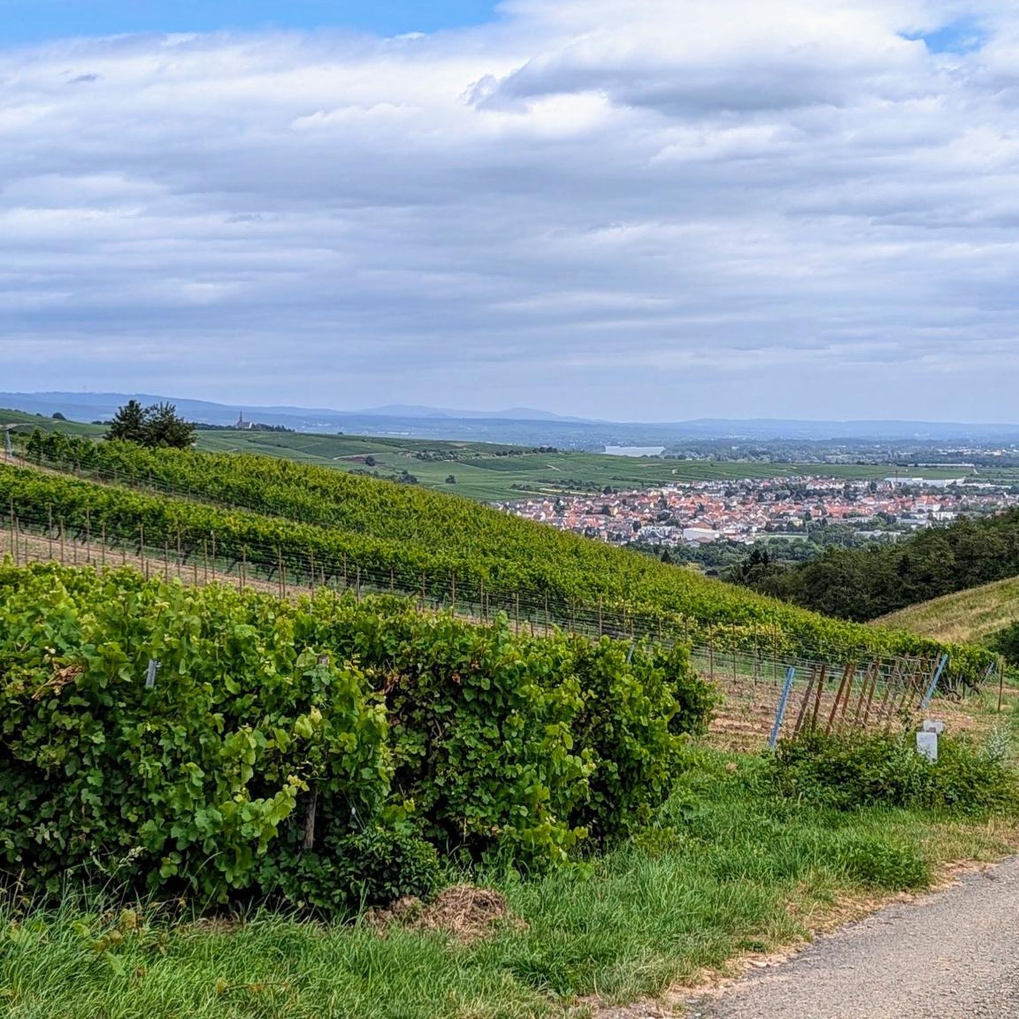
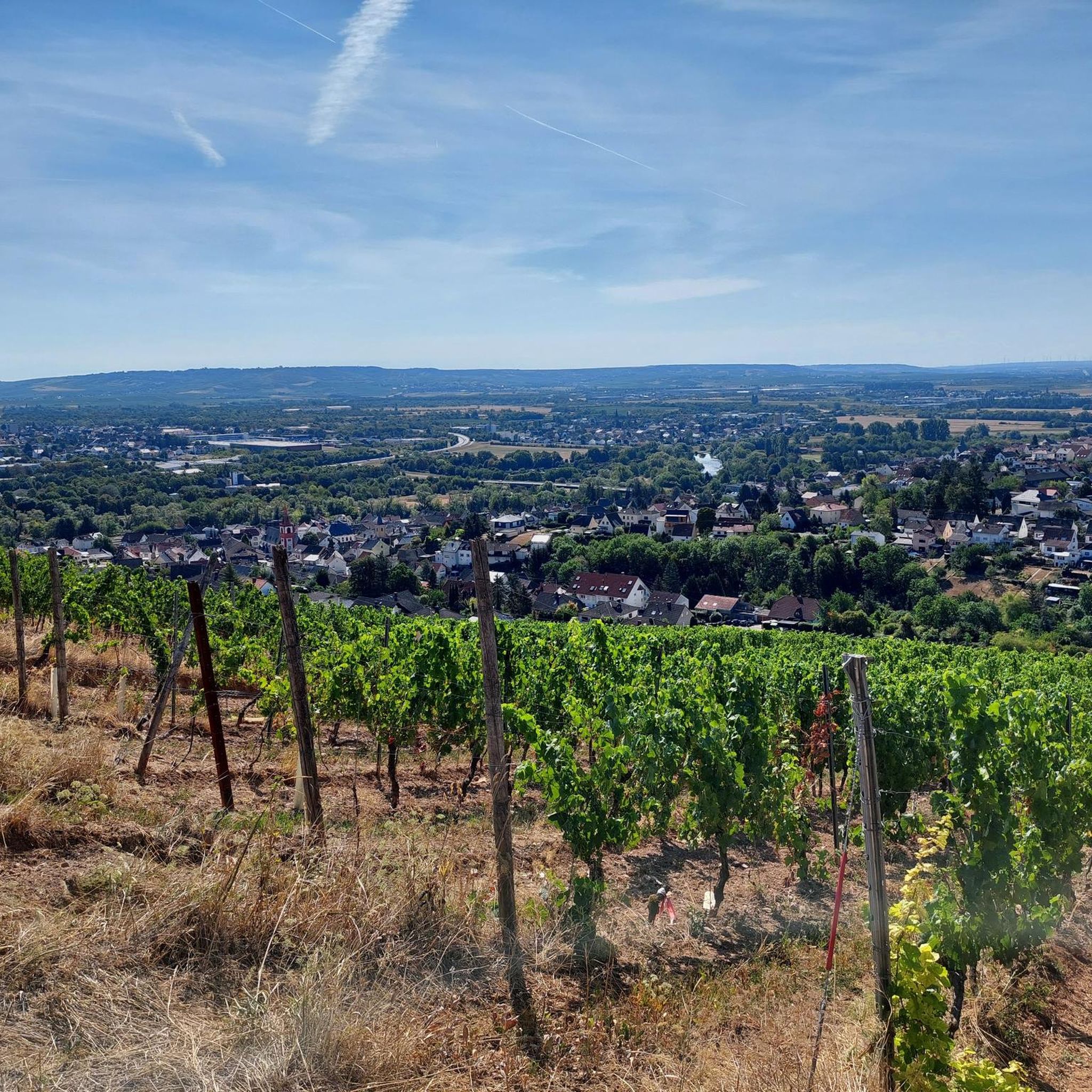
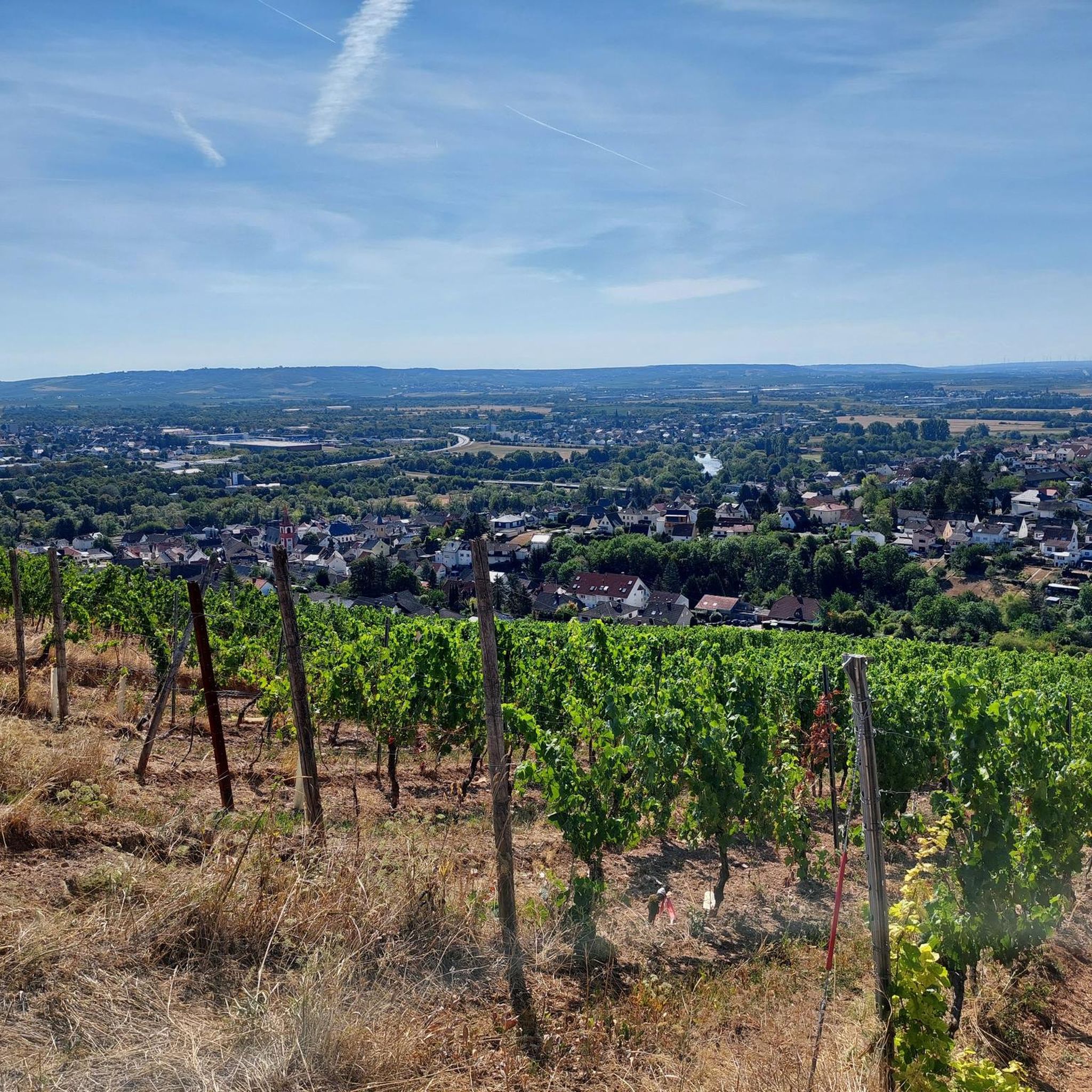
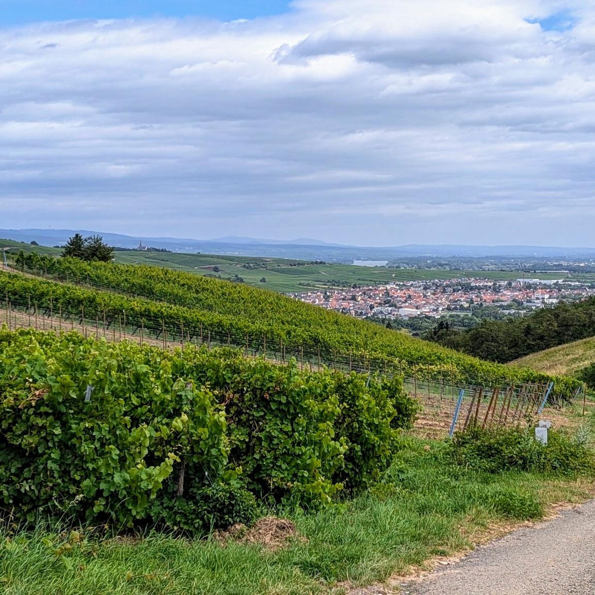
Hiking trails around Münster-Sarmsheim traverse a diverse landscape shaped by the Rhine and Nahe river valleys. The region features extensive vineyards, dense forests, and the open southern slopes of the Hunsrück, providing varied terrain for exploration. Elevated viewpoints offer broad perspectives over the valleys and the municipality. This geographical setting creates a range of hiking opportunities from riverine paths to vineyard trails and forest routes.
Best hiking trails around Münster-Sarmsheim
- The most popular hiking route is Keßlerberg Shelter – Troll…
Last updated: October 4, 2026
4.8
(5)
32
hikers
Moderate hike. Good fitness required. Easily-accessible paths. Suitable for all skill levels.
4.6
(5)
18
hikers
8.96km
02:30
170m
170m
Moderate hike. Good fitness required. Easily-accessible paths. Suitable for all skill levels.

4.8
(5)
16
hikers
14.9km
04:13
320m
320m
Moderate hike. Good fitness required. Easily-accessible paths. Suitable for all skill levels.
4.7
(3)
17
hikers
7.25km
02:03
160m
160m
Moderate hike. Good fitness required. Easily-accessible paths. Suitable for all skill levels.
14
hikers
6.14km
01:44
130m
130m
Easy hike. Great for any fitness level. Easily-accessible paths. Suitable for all skill levels.
Get access to more routes and recommendations from other explorers.
Already have an account?
Our route recommendations are based on thousands of hikes, rides, and runs completed by other people on komoot.
Start today with a free account
Your next adventure awaits.
Tips from the Community

A beautiful, small resting spot on the edge of the Binger Wald. It offers a small fountain as well as lovingly designed sculptures of a market woman with a billy goat and another billy goat with a frog.
1
0

One of the oldest medieval stone bridges in Germany. The short stop is worthwhile for anyone who wants to discover a piece of history on their bike tour.
3
0

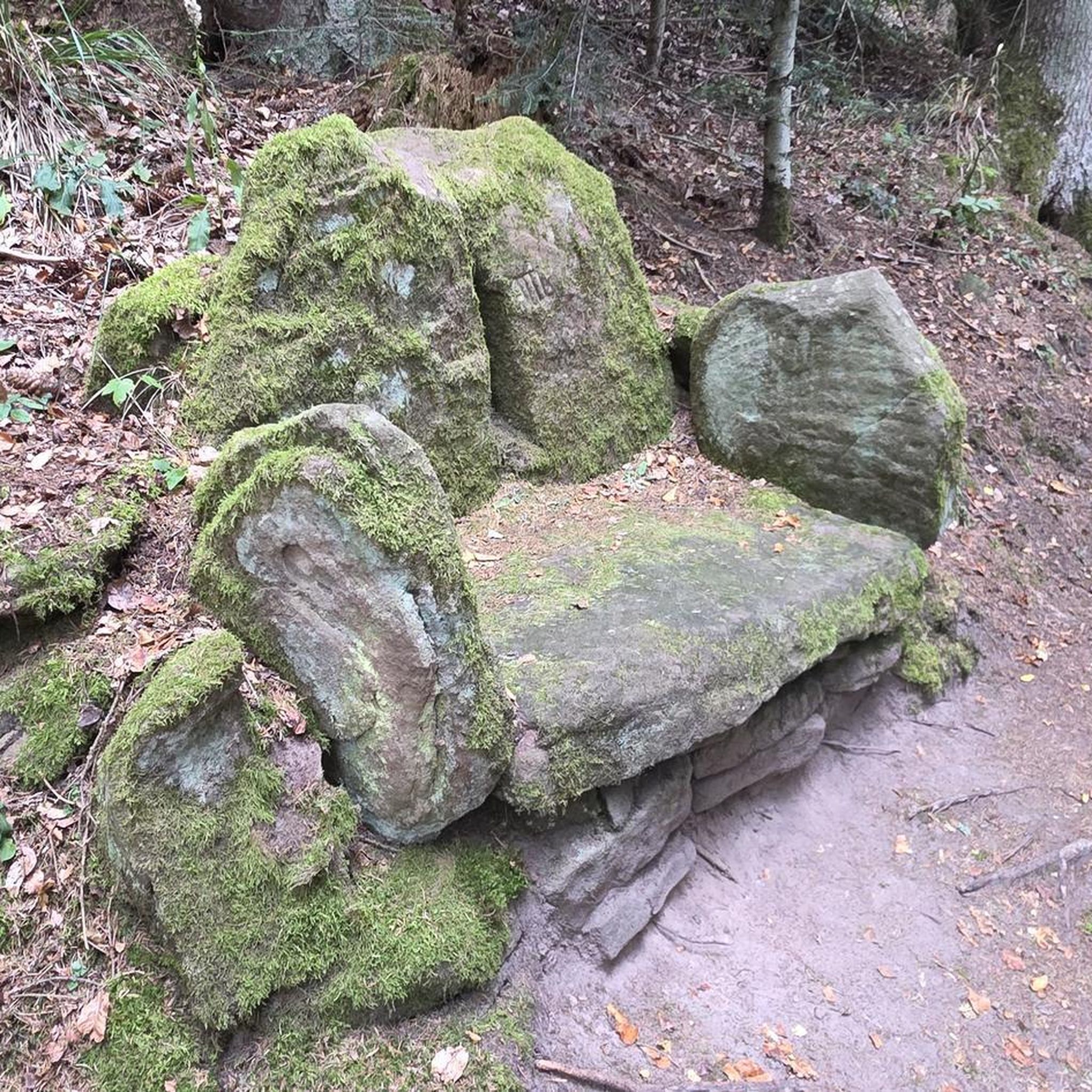
Keßlerberg Hütte with rest area
1
0
The new Drusus Bridge, still visible today, was built 100 years later under Archbishop Willigis (975-1011). This bridge was destroyed by the French in 1689. It was rebuilt by 1772. In March 1945, a special command blew up the bridge arch in front of the advancing troops of the Allies. Today, the 1000-year-old Drusus Bridge, in new splendor, once again shapes the cityscape of Bingen.
1
0
The Drusus Bridge owes its name to the Roman general Drusus, who is said to have built the first wooden bridge over the Nahe. It probably originated in the decade before Christ's birth, but was probably in a different location. At that time, Drusus fortified the left bank of the Rhine border of the Roman Empire by building fortifications and may have had a convenient path built across the Nahe. The wooden bridge was destroyed in 70 AD. The current stone bridge is a construction from the 11th century.
2
0
At the Rhine-Nahe corner is the impressive Poseidon sculpture, which was created by the Kiel artist Jo Kley at the beginning of the State Garden Show in 2008.
1
0

Frequently Asked Questions
How many hiking trails are available around Münster-Sarmsheim?
There are 18 hiking trails documented on komoot for the Münster-Sarmsheim area. These include 10 easy routes and 8 moderate routes, offering diverse options for various fitness levels.
What kind of landscapes can I expect to see while hiking in Münster-Sarmsheim?
The region offers a diverse landscape shaped by the confluence of the Rhine and Nahe river valleys. You'll find extensive vineyards, dense forests, and the open southern slopes of the Hunsrück. Many trails provide breathtaking views over the valleys and the municipality, often passing through unique natural features like the Troll Rocks or along the Krebsbach stream.
Are there any easy or family-friendly hiking routes in Münster-Sarmsheim?
Yes, there are 10 easy routes suitable for families or those looking for a relaxed walk. An example is the Old Vineyard Hut – Keßlerberg Shelter loop from Münster-Sarmsheim, an easy 6.1 km trail. The Troll Rocks loop from Münster-Sarmsheim is another easy option, covering 4.2 km and featuring interesting natural formations.
What are some notable viewpoints or landmarks to discover on a hike?
The region is rich in viewpoints and landmarks. The "Naheblick" Viewpoint offers extensive vistas over the entire valley. You can also visit the impressive Niederwald monument, located above Rüdesheim, which provides fantastic panoramic views of the Rhine and Nahe estuary. Historic sites like Rheinstein Castle also offer cultural interest and great views.
Are there any circular hiking routes in the area?
Many of the hiking trails around Münster-Sarmsheim are circular routes, allowing you to start and end at the same point. Popular options include the Keßlerberg Shelter – Troll Rocks loop from Münster-Sarmsheim (9.3 km) and the Krebsbach Crossing – View of Münster-Sarmsheim loop from Münster-Sarmsheim (7.4 km).
What do other hikers say about the trails in Münster-Sarmsheim?
The hiking routes in Münster-Sarmsheim are highly rated by the komoot community, with an average score of 4.6 stars from over 1400 reviews. Hikers often praise the varied terrain, the stunning views over the Rhine and Nahe valleys, and the well-maintained paths through vineyards and forests.
Can I find trails that pass by water features like lakes or streams?
Yes, several trails incorporate water features. The Krebsbach Crossing – View of Münster-Sarmsheim loop from Münster-Sarmsheim, for instance, crosses the Krebsbach stream. Additionally, you can find nearby lakes such as Offermannteich and Hunsfelsen Quarry Lake, which are points of interest in the wider region.
What is the best time of year to go hiking in Münster-Sarmsheim?
Spring and autumn are particularly recommended for hiking in Münster-Sarmsheim. In spring, nature comes alive with colorful blooms, especially in the vineyards. Autumn offers warm hues across the landscape, making for very scenic walks. The weather during these seasons is generally pleasant for outdoor activities.
Are there any long-distance hiking trails accessible from Münster-Sarmsheim?
Yes, Münster-Sarmsheim is close to renowned long-distance trails. The Rheinsteig, a famous trail along the Rhine, offers challenging tours with spectacular views. The Rheinhöhenweg also traverses the vineyards, allowing for longer excursions into the region's viticultural landscape.
Are there any trails that explore the geological features of the area?
Yes, the region's unique geology is a highlight for some routes. The Mee(h)rSehenTour Rümmelsheim, for example, is a moderate hike that specifically delves into the geological features of the Mainz Basin, offering insights into the area's natural history.
What are some unique natural formations I might encounter?
Beyond the river valleys and vineyards, you can discover specific natural formations like the "Troll Rocks," which add a unique character to several hiking loops. The Krebsbach stream also features prominently in some routes, offering a tranquil natural element.
Most popular routes around Münster-Sarmsheim
Most popular attractions around Münster-Sarmsheim

Get inspired with the komoot mobile app


Explore more
Browse the best Hikes in other regions.
