The best walks and hikes around Mühlenbach
4.5
(610)
1,955
hikers
65
hikes
Hiking trails Mühlenbach Black Forest offer a diverse range of outdoor experiences within the Central Black Forest, situated between 260 and 800 meters above sea level. The region is characterized by picturesque side valleys of the Kinzig valley, including Stollengrund, Bärenbach, and Büchern, which feature lush, maintained landscapes. This area provides a classic Black Forest backdrop with varied terrain suitable for different fitness levels. Hikers can explore approximately 100 kilometers of marked trails that traverse these natural features.
Best hiking…
Last updated: October 8, 2026
4.5
(71)
217
hikers
11.2km
03:18
320m
320m
Moderate hike. Good fitness required. Easily-accessible paths. Suitable for all skill levels.
4.8
(30)
110
hikers
8.79km
02:56
370m
370m
Moderate hike. Good fitness required. Mostly accessible paths. Sure-footedness required.

4.6
(29)
112
hikers
Moderate hike. Great for any fitness level. Mostly accessible paths. Sure-footedness required.
4.7
(19)
89
hikers
16.7km
05:04
560m
560m
Hard hike. Very good fitness required. Easily-accessible paths. Suitable for all skill levels.
4.6
(12)
58
hikers
17.1km
05:07
500m
500m
Hard hike. Very good fitness required. Easily-accessible paths. Suitable for all skill levels.
Get access to more routes and recommendations from other explorers.
Already have an account?
Our route recommendations are based on thousands of hikes, rides, and runs completed by other people on komoot.
Start today with a free account
Your next adventure awaits.


Tips from the Community

The Urenkopfturm is a striking observation tower on the 554-meter-high Urenkopf, the local mountain of Haslach im Kinzigtal. Inaugurated in November 2014, the tower impresses with its special architecture made of massive Douglas fir logs and an internal steel structure. Those who climb the 183 grid steps will be rewarded with a spectacular panoramic view. Tower height & platform: The tower is a total of 34.05 meters high. The spacious viewing platform is located at a height of 33 meters. Panorama: In clear weather, the 360-degree view extends over the Central Black Forest and the Kinzigtal valley to Kandel, the Rhine Valley, the French Vosges, and even to the Swabian Jura.
0
0

Since November 2014, there has been an approximately 34-meter-high observation tower (Urenkopfturm) on the Urenkopf (554.9 m above sea level, the town's local mountain), which was built as a steel-wood construction. Source: https://de.wikipedia.org/wiki/Haslach_im_Kinzigtal
2
0
The tower structure consists of 4 vertical main supports made of Douglas fir logs, supplemented on both sides by a V-shaped pair of struts, also made of Douglas fir logs. The logs are clamped into a 90 cm thick reinforced concrete foundation slab. Due to the tower's height, the logs are joined at approx. 2/3 of the height. The logs are connected and braced with horizontal frames and diagonal braces made of hot-dip galvanized steel. To optimize the service life, the load-bearing wooden components are arranged exclusively vertically and are additionally pressure-impregnated in an autoclave. The staircase consists of stair stringers made of U-steel with closely meshed grating steps. The longitudinal axis of the tower and staircase structure is aligned with the center of Haslach. From each intermediate landing, there is a clear view without obstruction by structural elements. The spacious viewing platform allows for an unimpeded 360° panoramic view. The name "urenkopf" Urenkopf, Urenwald: Originally Murenwald (18th century), meaning a marshy, swampy forest – Middle High German "mour" = swamp, morass. The "Kopf" (head) is the tip or summit of this mountain with the Murenwald. In a painting from 1688, the still almost treeless Urenkopf mountain is visible behind the small town. Dimensions Platform height above ground: 32.95 m Total height of the viewing tower: 34.05 m Total height including flagpole: approx. 40.00 m Full storeys: 12 Number of steps: 183 Size of the viewing platform: 43 m² Technical data Foundations Reinforced concrete foundation: 80 m² Concrete used: 70 m³ Reinforcing steel: 6 t Wood construction Douglas fir logs: 65 m³ Douglas fir sawn timber: 2 m³ Log lengths: 22 + 11 m Steel construction Structural and connection steel: 21 t Stair and railing construction: 18 t Source: https://info.haslach.de/familien-freizeit/aussichtsturm-urenkopf/zahlen-daten-fakten
3
0


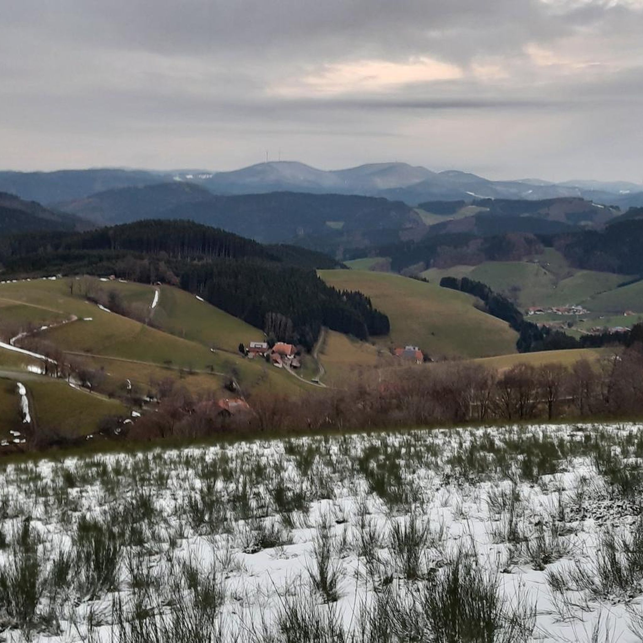
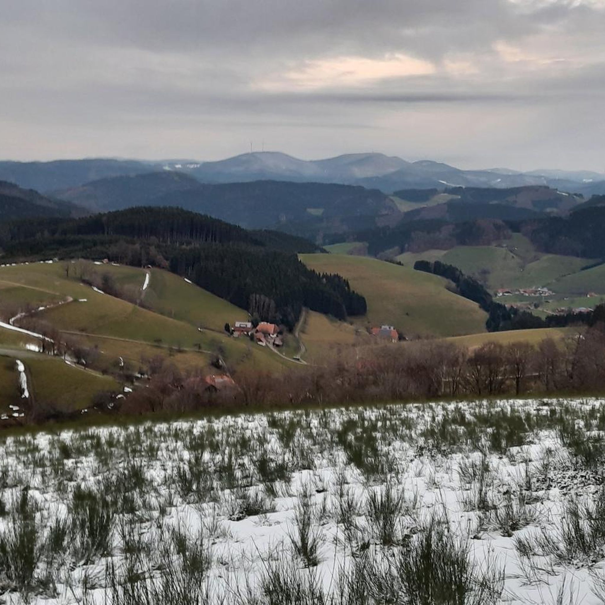
The wind turbines that have been built here have disappeared the beautiful Black Forest and these views.
0
0
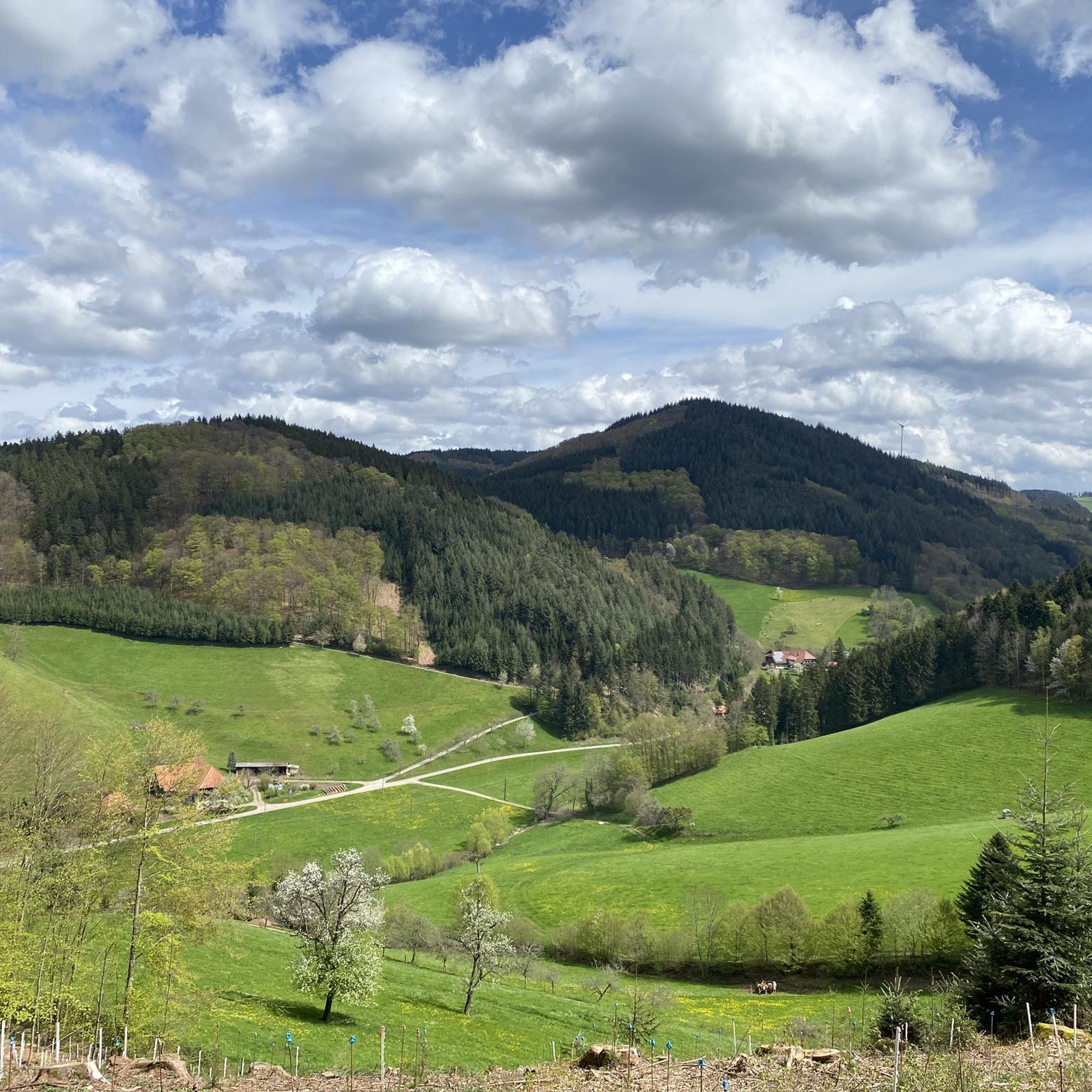
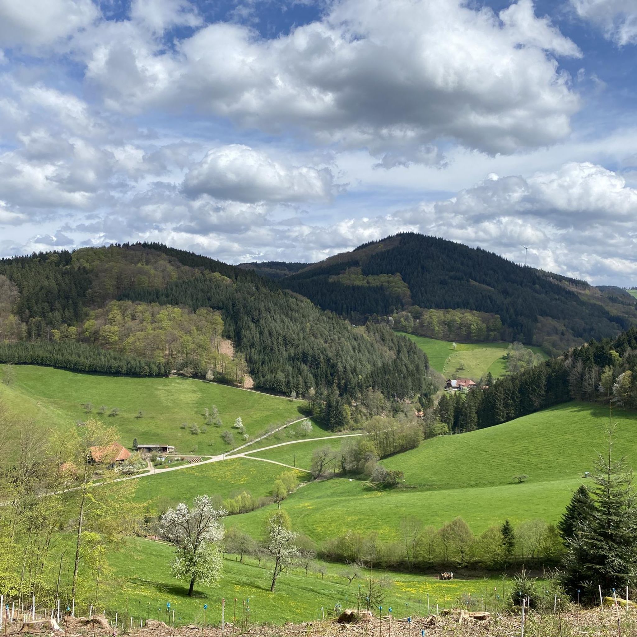
Great vantage point overlooking Mühlenbach
0
0

Unfortunately it no longer exists. The bench collapsed and fell down the hill.
2
0
Frequently Asked Questions
How many hiking trails are available in Mühlenbach?
Mühlenbach offers a wide selection of hiking experiences, with over 60 marked trails. These routes cater to various preferences, including 21 easy, 37 moderate, and 5 difficult options, ensuring there's a suitable path for every hiker.
What kind of terrain can I expect on Mühlenbach's hiking trails?
The hiking trails in Mühlenbach traverse the quintessential Black Forest landscape, characterized by picturesque side valleys like Stollengrund, Bärenbach, and Büchern. You'll encounter varied terrain, from gentle paths along streams to more demanding ascents, all set against a backdrop of lush, well-maintained natural beauty between 260 and 800 meters above sea level.
When is the best time of year to go hiking in Mühlenbach?
Mühlenbach's pleasant climate makes it an excellent hiking destination year-round. The lush side valleys and well-maintained trails offer beautiful scenery in spring and summer, vibrant colors in autumn, and serene, often snow-dusted landscapes in winter. The region is suitable for outdoor activities throughout the seasons.
Are there any family-friendly hiking options in Mühlenbach?
Yes, Mühlenbach offers several options suitable for families. The "Mühlenwelt am Heimbach" (Mill World on the Heimbach) is a notable barrier-free path that combines natural beauty with historical insights into water-powered mills, perfect for an easy stroll. Many of the region's trails are designed for various fitness levels, including easier routes ideal for families.
Can I bring my dog on the hiking trails in Mühlenbach?
Generally, dogs are welcome on hiking trails in the Black Forest region. However, it's always advisable to keep your dog on a leash, especially in nature reserves, near livestock, or in crowded areas, to ensure the safety and comfort of both your pet and other hikers. Please be mindful of local signage regarding specific rules.
Where can I find scenic viewpoints on the trails around Mühlenbach?
Mühlenbach is known for its panoramic vistas. You can enjoy stunning views from locations like the Huberfelsen Viewpoint and Landwassereck. A popular route that highlights these spots is the View of Landwassereck – Huberfelsen Viewpoint loop from Büchereck, offering expansive Black Forest scenery.
Are there any unique natural features or historical sites to explore along the trails?
Absolutely. Beyond the general Black Forest scenery, you can explore the historical "Mühlenwelt am Heimbach" with its ancient mills. For natural monuments, consider visiting Karlstein. The region also has historical sites like the Grube Wenzel Show Mine and the Segen Gottes Silver Mine, offering a glimpse into the area's past.
Are there circular hiking routes available in Mühlenbach?
Yes, many of the hiking routes around Mühlenbach are designed as loops, allowing you to start and end at the same point. Examples include the Rotweinbänkle Rest Area – Urenkopf Tower loop from Mühlenbach and the Landwassereck Pass – View of Landwassereck loop from Prechtaler Schanze-Ecklesberg, which are popular choices for their convenience and scenic variety.
What do other hikers say about the trails in Mühlenbach?
The trails in Mühlenbach are highly regarded by the komoot community, boasting an impressive average rating of 4.6 stars from over 500 reviews. Hikers frequently praise the classic Black Forest scenery, the well-marked paths, and the diverse terrain that caters to all ability levels. Over 1,900 hikers have already explored Mühlenbach's routes with komoot.
Are there any challenging hikes for experienced trekkers?
Yes, Mühlenbach offers several challenging routes for those seeking a more demanding experience. For instance, the View of the Black Forest – Mühlenbach Village loop from Büchereck is a difficult 16.8 km trail with significant elevation gain, providing a strenuous workout and rewarding views. There are 5 difficult trails in total for experienced hikers.
Are there places to eat or stay near the hiking trails in Mühlenbach?
Mühlenbach and its surrounding villages offer various options for refreshments and accommodation. You'll find traditional Black Forest guesthouses, restaurants, and cafes where you can enjoy local cuisine and relax after your hike. Many are conveniently located near trailheads or within easy reach of the hiking network.
Is public transport available to access hiking trails in Mühlenbach?
Mühlenbach is part of the Black Forest region, which generally has a good public transport network. While specific trail access points may vary, local buses often connect the village with surrounding areas, making it possible to reach various trailheads without a car. It's recommended to check local bus schedules for the most up-to-date information.
Most popular routes around Mühlenbach
Most popular attractions around Mühlenbach

Get inspired with the komoot mobile app


Explore more
Browse the best Hikes in other regions.
