The best walks and hikes around Moorgrund
4.6
(35431)
115,639
hikers
81
hikes
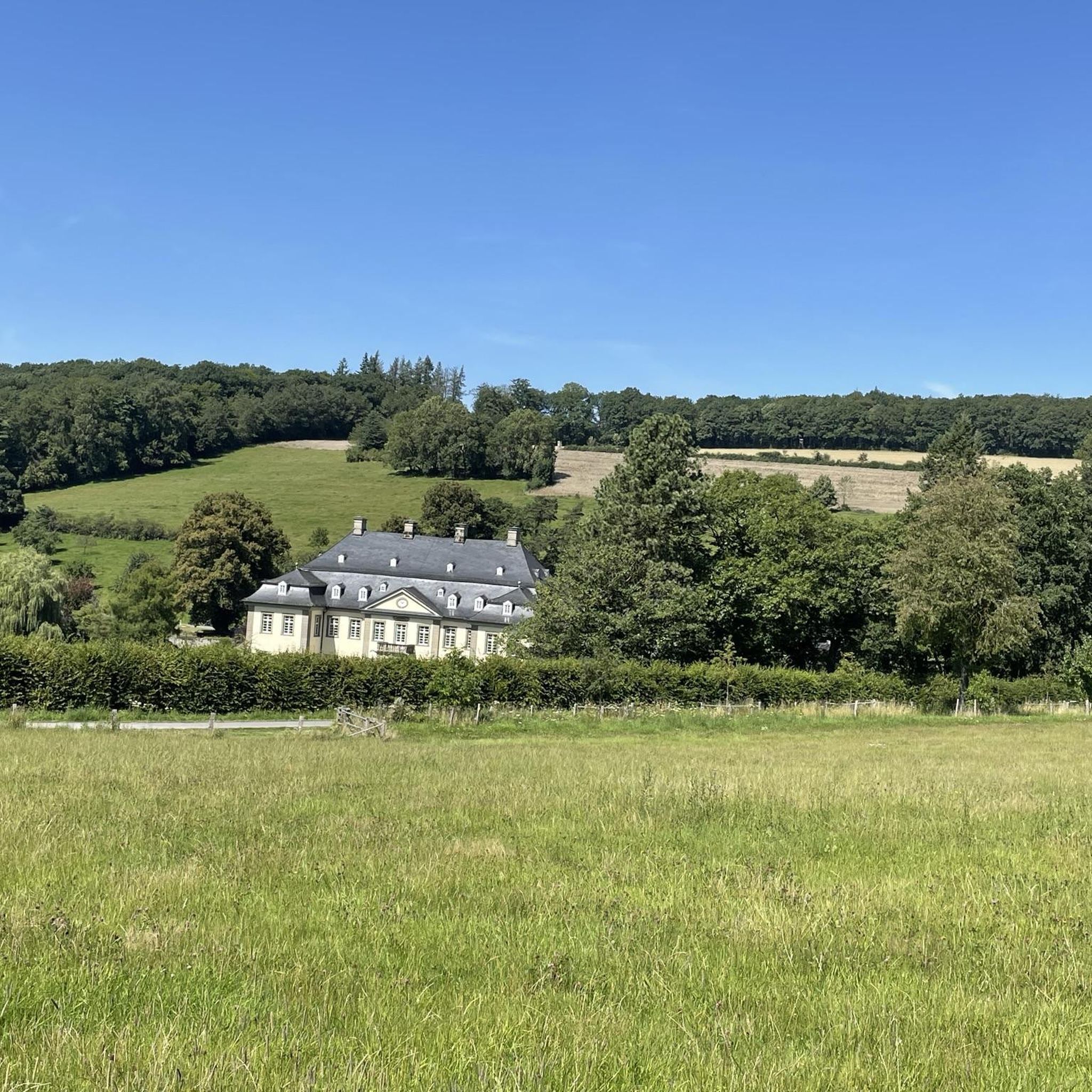
Hiking around Moorgrund offers access to diverse landscapes within the Thuringian Forest and Rhön Mountains regions. The area is characterized by dense forests, green valleys, and undulating hills, typical of Germany's low mountain ranges. Moorgrund itself suggests the presence of moorland, featuring distinct flora and fauna. This geographical setting provides a variety of terrain for outdoor exploration.
Best hiking trails around Moorgrund
- The most popular hiking route is Landgrave Gorge – Dragon Gorge loop from Etterwinden, a 15.7 miles…
Last updated: October 28, 2026
4.8
(228)
717
hikers
25.2km
07:11
580m
580m
Hard hike. Very good fitness required. Easily walkable paths.
4.5
(15)
70
hikers
11.3km
03:13
250m
250m
Moderate hike. Good fitness required. Easily walkable paths.

4.8
(9)
35
hikers
6.53km
01:48
110m
110m
Easy hike. Easily walkable paths.
4.8
(9)
38
hikers
Easy hike. Easily walkable paths.
4.6
(24)
26
hikers
10.2km
02:48
170m
170m
Moderate hike. Good fitness required. Easily walkable paths.
Get access to more routes and recommendations from other explorers.
Already have an account?
Our route recommendations are based on thousands of hikes, rides, and runs completed by other people on komoot.
Start today with a free account
Your next adventure awaits.
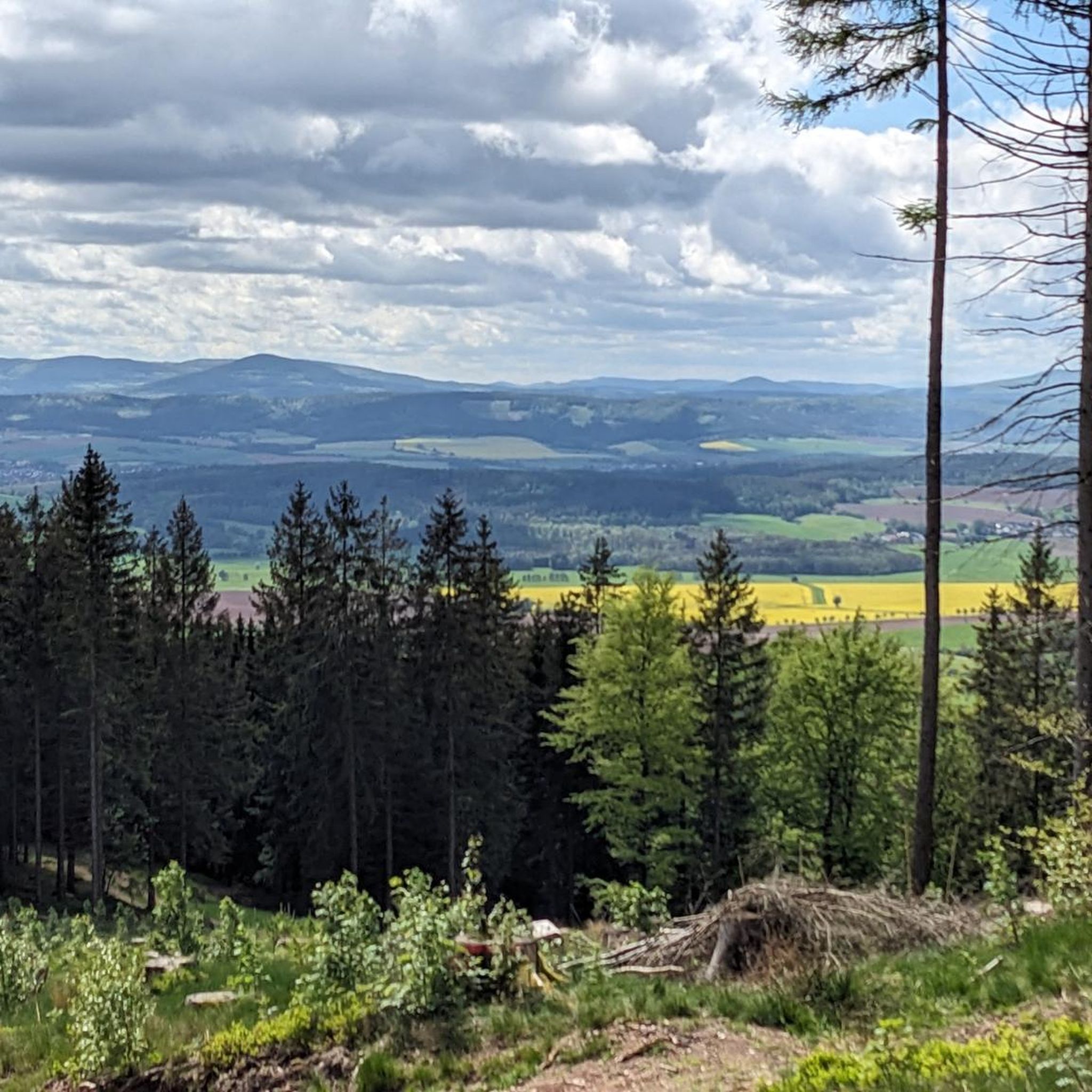
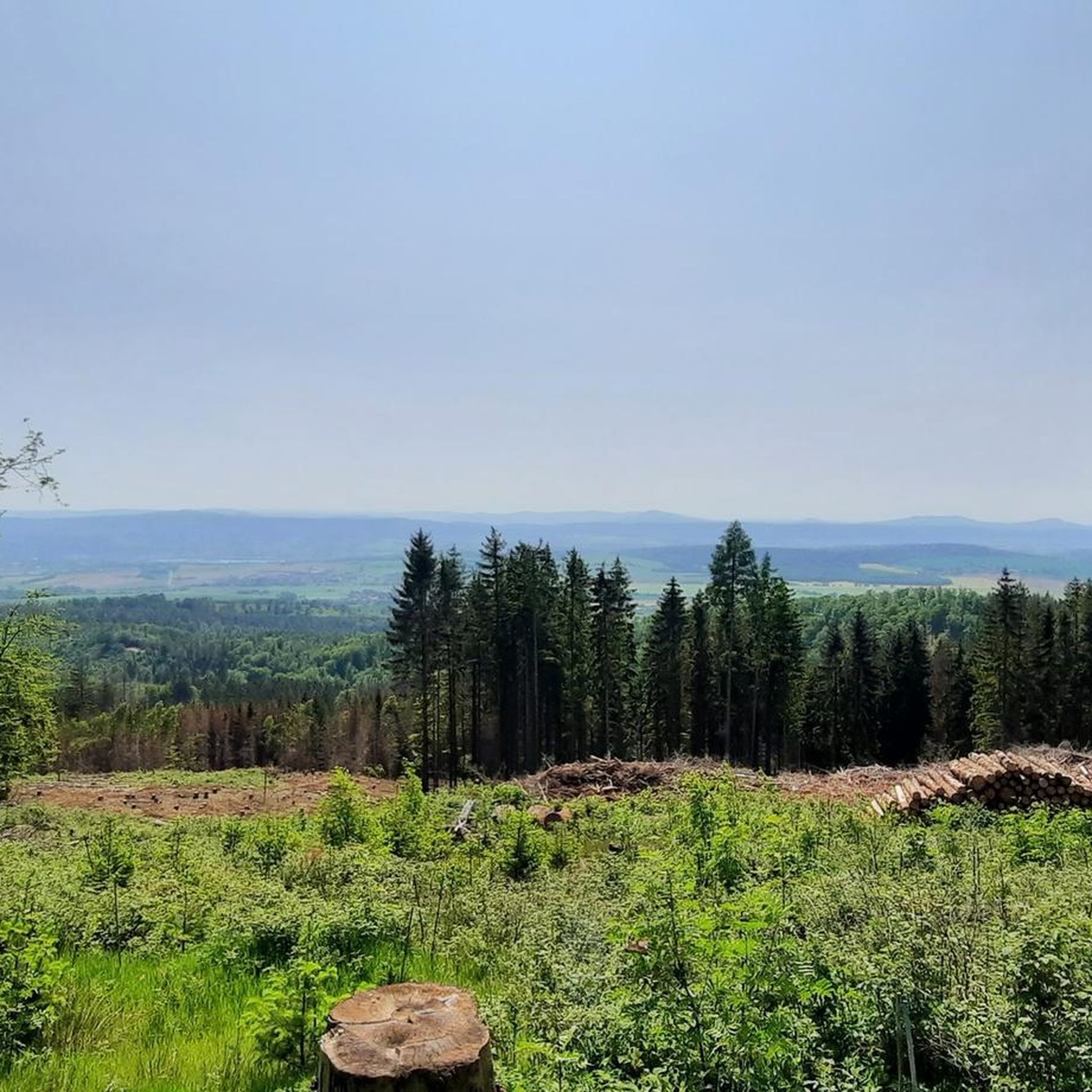
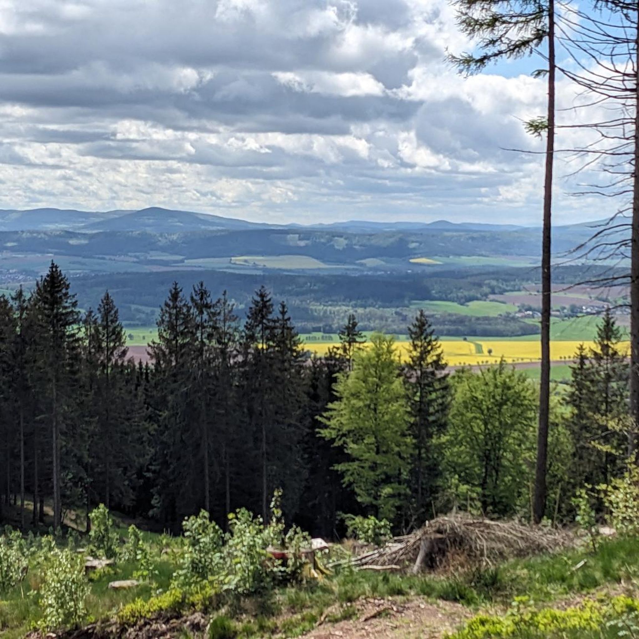
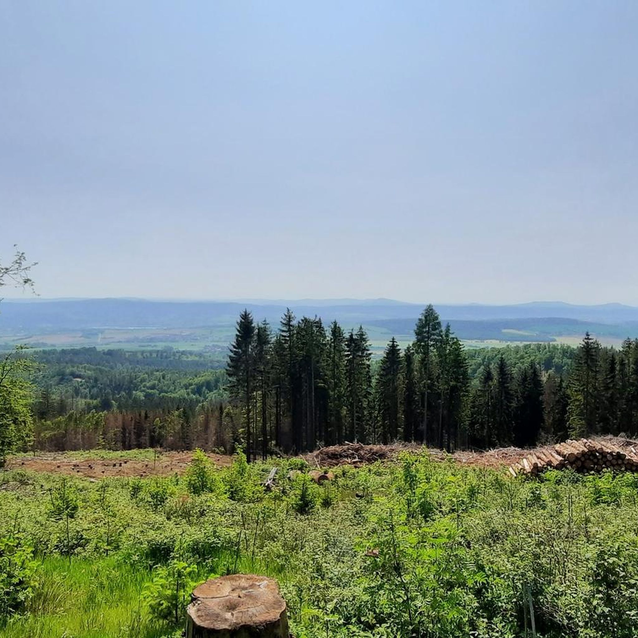
Tips from the Community

beautiful view, top route, simply recommendable for everyone
0
0

The Pummpälzweg is a legend and hiking trail in the Thuringian Forest, which illustrates the stories about the Thuringian goblin Pummpälz with enchanting wood sculptures from the Empfertshausen woodcarving school.
2
0
The symbolic key of the Ruhlaer Häuschen is a wooden key, hung high in a tree, not far from the Ruhlaer Häuschen crossroads.
1
0

This is said to have once been where the key to the remains of the Ruhla cottage was hidden.
1
0

A nice little eye-catcher with a lovely story.
0
0
A nice little eye-catcher with a lovely story.
0
0

The path is named after the goblin Pummpälz from Thuringian legends. The goblin was said to have ambushed hikers, jumped on their necks to be carried, and slapped them in the face.
1
0

Located just before the "Altenberger See" camping park in Eisenach, this spot can be used as a good starting point for many hikes.
0
0
Frequently Asked Questions
How many hiking trails are available in Moorgrund?
There are over 80 hiking trails around Moorgrund, offering a wide range of options for different skill levels and preferences. The komoot community has rated these routes highly, with an average score of 4.7 stars.
Are there easy hiking trails suitable for beginners or families in Moorgrund?
Yes, Moorgrund offers over 40 easy hiking routes, perfect for beginners or family outings. An example is the Lake Altenberg – Altenberger Lake Camping Park loop from Etterwinden, which is 4.1 miles (6.5 km) long and leads through forests and past Lake Altenberg.
What kind of natural landscapes can I expect to see while hiking in Moorgrund?
Moorgrund is characterized by dense forests, green valleys, and undulating hills, typical of Germany's low mountain ranges. The region's name also suggests the presence of moorland, which features unique flora and fauna. You'll find a blend of accessible trails and tranquil natural environments.
Are there any notable landmarks or attractions to see along the hiking trails?
Yes, the broader region around Moorgrund offers several interesting sights. You can explore natural wonders like the dramatic Dragon Gorge, known for its unique rock formations, or visit historical sites such as Wartburg Castle. There are also viewpoints like the Great Drachenstein Oak and Viewpoint offering panoramic vistas.
What do other hikers enjoy most about hiking in Moorgrund?
The hiking trails in Moorgrund are highly rated by the komoot community, with an average score of 4.7 stars from over 2,500 reviews. Hikers often praise the diverse terrain, from dense forests to green valleys, and the well-maintained paths that cater to various fitness levels. The tranquility and natural beauty of the region are frequently highlighted.
Are there any circular hiking routes in Moorgrund?
Yes, many of the routes in Moorgrund are circular, allowing you to start and end at the same point. An example is the Gumpelstadt Village Center – Rest Area by the Willows loop from Gumpelstadt, an easy 3.5-mile (5.7 km) trail.
Can I bring my dog on the hiking trails in Moorgrund?
Most hiking trails in Moorgrund are dog-friendly, allowing you to enjoy the natural surroundings with your canine companion. It's always a good idea to keep your dog on a leash, especially in areas with wildlife or near livestock, and to check for any specific local regulations.
What is the best time of year to go hiking in Moorgrund?
Moorgrund offers pleasant hiking experiences throughout much of the year. Spring and autumn provide comfortable temperatures and beautiful scenery with blooming flowers or vibrant fall foliage. Summer is also popular, with shaded forest trails offering respite from the heat. Winter hiking is possible, but trails may be snowy or icy, requiring appropriate gear.
Are there any moderate hiking trails for those looking for a bit more challenge?
Absolutely. Moorgrund features 31 moderate hiking routes. A popular choice is the Wilhelmsthal Palace – Lake Altenberg loop from Etterwinden, which is 6.3 miles (10.2 km) long and offers varied terrain and scenic views.
Is parking available near the trailheads in Moorgrund?
While specific parking details vary by trailhead, many popular starting points for hikes in and around Moorgrund, especially those near villages or attractions, typically offer designated parking areas. It's advisable to check the route details on komoot for specific parking information for your chosen trail.
Are there any hiking routes that pass by a lake?
Yes, you can find routes that include lakes, adding to the scenic beauty. The Lake Altenberg – Altenberger Lake Camping Park loop from Etterwinden is an easy trail that takes you past Lake Altenberg, offering pleasant views and a refreshing atmosphere.
Are there any particularly challenging or difficult hikes in the Moorgrund area?
For experienced hikers seeking a challenge, Moorgrund offers 6 difficult routes. The Landgrave Gorge – Dragon Gorge loop from Etterwinden is a demanding 15.7-mile (25.3 km) trail with significant elevation gain, exploring the dramatic Dragon Gorge.
Can I access hiking trails in Moorgrund using public transport?
Public transport options to reach trailheads in Moorgrund may be available, particularly to larger villages or towns within the region. However, accessibility can vary, so it's recommended to research local bus or train schedules to specific starting points before your hike.
Most popular routes around Moorgrund
Most popular attractions around Moorgrund

Get inspired with the komoot mobile app


Explore more
Browse the best Hikes in other regions.
