The best MTB trails in Montana
4.9
(15)
1,185
riders
134
rides
Mountain biking in Montana offers access to rugged terrain, diverse landscapes, and extensive trail systems. The region, known as "Big Sky Country," features majestic mountains, dense forests, alpine meadows, and clear rivers. Its vast wilderness provides a setting for a wide array of outdoor adventures, with trails winding through varied elevations and natural features.
Best mountain bike trails in Montana
- The most popular mountain bike trail is Blacktail Mountain Trail, a 7.5 miles (12.1 km) trail that takes 1 hour 10 minutes to complete. This easy route offers scenic views of the surrounding landscape.
- Another top favourite among local mountain bikers is Round Meadows Trail, an easy 3.4 miles (5.4 km) path. This trail winds through forests and meadows, providing a gentle ride.
- Local mountain bikers also love the Bangtail Divide Trail, a 30.9 miles (49.8 km) trail leading through mountainous terrain with panoramic views, often completed in about 4 hours 54 minutes.
- Mountain biking in Montana is defined by rugged mountains, alpine meadows, and extensive forests. The network offers options for all ability levels, from easy forest rides to challenging technical descents.
- The routes in Montana are highly rated by the komoot community with an average score of 4.9 stars from over 10 reviews. More than 1000 mountain bikers have used komoot to explore Montana's varied terrain.
Last updated: August 3, 2026
12.1km
01:10
210m
220m
Embark on an easy mountain biking adventure along the Blacktail Mountain Trail, a route designed for a pleasant journey through the local landscape. This trail spans 7.5 miles (12.1 km) and involves a manageable elevation gain of 678 feet (207 metres), making it accessible for most riders. You can expect to complete the ride in about 1 hour and 9 minutes. As you pedal, keep an eye out for glimpses of the surrounding Flathead Valley and views of Flathead Lake, offering scenic rewards without extreme challenges.
When planning your visit to the Blacktail Mountain Trail, you will find parking generally available at the trailhead, which makes starting your ride quite convenient. Be aware that many trails in the Blacktail Mountain area are multi-use, so you should be prepared to share the path with hikers and other outdoor enthusiasts. While this specific route is easy, some trails in the broader Blacktail Mountain region are in isolated wilderness, so carrying bear spray is a good precaution to consider for your safety.
This mountain biking route offers a straightforward way to enjoy the outdoors within the Flathead National Forest. It provides an excellent opportunity to experience the natural environment without facing extreme challenges. The trail serves as a good introduction to the area, allowing you to appreciate the local scenery and the expansive Flathead Valley from a unique perspective.
5.43km
00:18
40m
40m
If you are looking for an easy mountain biking experience near Whitefish, Montana, the Round Meadows Trail offers a pleasant ride through diverse terrain. You will navigate peaceful forests and open meadows, with interconnected loops providing flexibility to extend or shorten your adventure. This route covers 3.4 miles (5.4 km) with a gentle elevation gain of 123 feet (37 metres), making it an ideal choice for beginners or a quick spin, typically taking around 17 minutes to complete.
Planning your visit to the Round Meadows Trail is straightforward, as the trailhead provides ample parking, restrooms, and clear informational signage to guide you. This multi-use system is popular year-round; in summer, you will share the paths with hikers and horse riders, while winter transforms it into a destination for cross-country skiers and snowshoers. Dogs are also welcome to join you, provided they are off-leash and under voice control, adding to the trail's family-friendly appeal.
The Round Meadows Trail stands out for its accessible nature and the opportunity to explore the beautiful Flathead National Forest. As you ride, keep an eye out for the scenic aspen groves that add a touch of natural beauty to the landscape, creating a memorable backdrop for your mountain biking outing. It is a great way to immerse yourself in the outdoors and enjoy the varied ecosystems of the region.

Sign up for free
43
riders
49.8km
04:54
1,270m
1,280m
The Bangtail Divide Trail offers a challenging mountain biking experience, covering 30.9 miles (49.8 km) with a significant 4165 feet (1269 metres) of elevation gain. This difficult route typically takes around 4 hours and 53 minutes to complete. As you ride, you will traverse open plateaus with consistent singletrack, winding through dense lodgepole pine, spruce, and fir forests, interspersed with vibrant wildflower meadows. Look out for the Ridgetop Singletrack, a highlight offering incredible panoramic views of the Bridger, Crazy, and Absaroka Mountains.
Planning your ride on the Bangtail Divide Trail is key, as it is a point-to-point route best ridden south to north, making a shuttle highly recommended. The optimal time to visit is from late spring to fall, though be prepared for potentially wet sections in the forested areas during spring. This is a multi-use trail, so you may encounter hikers, trail runners, and even motorcyclists along the way.
Located within the vast Custer Gallatin National Forest, the Bangtail Divide Trail is renowned for its outstanding and diverse scenery. It presents a significant physical challenge, rewarding your effort with expansive views across multiple mountain ranges. This route stands out in the region for its combination of demanding terrain and stunning high-altitude vistas, making it a memorable adventure for experienced mountain bikers.
32
riders
7.93km
01:05
400m
400m
The Hot Sauce and Hello Kitty Loop at Marshall Mountain delivers a classic mountain biking experience: a solid climb followed by a grin-inducing descent. You'll navigate the "Hot Sauce" singletrack before hitting the famous "Hello Kitty" flow trail, known for its playful berms, rollers, and intermediate jumps. All features are rollable, making it accessible, but an optional jump line offers tabletops for those who want to catch some air. This 4.9-mile (7.9 km) loop with 1305 feet (398 metres) of elevation gain is a moderate ride, typically taking around 1 hour and 5 minutes.
To make the most of your visit, plan to ride during the dry season when the trails are in prime condition. The loop is located at Marshall Mountain in Missoula, Montana, a popular spot for local riders. While specific parking information isn't detailed, arriving earlier in the day is always a good strategy to ensure you find a convenient spot, especially on weekends.
The "Hello Kitty" trail is a standout feature, highly regarded as a local favorite and meticulously maintained by trail crews, including significant contributions from MTB Missoula. Its design caters to a wide range of intermediate riders, offering both a safe, rollable experience and the option for more advanced jumps. This commitment to trail quality makes it a notable and reliable choice for mountain bikers in the Missoula area.
23
riders
23.9km
02:23
490m
490m
Embark on a moderate mountain biking journey along the Whitefish Trail: Lion Mountain, Skyles, and Beaver Lake Loop. This route covers 14.9 miles (23.9 km) and ascends 1613 feet (492 metres), taking about 2 hours and 22 minutes to complete. You will encounter diverse landscapes, from the dry montane forest on Lion Mountain, where a climb leads to sweeping vistas and a clear view of Skyles Lake, to the beautiful forests surrounding the pristine waters of Beaver Lake. The trail promises an enjoyable experience with many natural features and scenic viewpoints.
This trail is part of a continuously expanding, community-driven project that is easily accessible from downtown Whitefish. As a multi-use system, you will share the path with hikers, runners, dog walkers, and even horseback riders. It is important to be mindful of other users, especially in sections closer to town which can experience heavier foot traffic. Plan your visit with this in mind to ensure a smooth and respectful experience for everyone.
The Whitefish Trail system is notable for its ongoing development and community support, making it a vital outdoor resource in the region. This particular loop highlights the area's natural beauty, showcasing both elevated views and serene lakeside environments. It's an excellent choice if you are looking for a route that combines varied terrain with accessible natural features, all within a well-maintained trail network.
15
riders
20.3km
02:22
760m
750m
The Jumbo Saddle to Marshall Mountain loop offers a dynamic mountain biking adventure near Missoula, Montana, blending challenging climbs with rewarding views. You'll navigate a mix of paved and unpaved sections, dirt roads, and technical singletrack, all while enjoying panoramic vistas of Missoula, the Bitterroot Mountains, and the Rattlesnake. This moderate 12.6-mile (20.3 km) route, with its 2480 feet (756 metres) of elevation gain, provides a diverse riding experience that keeps things interesting over its estimated 2 hours and 22 minutes duration.
Planning your ride on this loop requires checking for seasonal closures, which typically run from December 1 to May 1. These restrictions are in place to protect wintering wildlife and ensure rider safety from potential avalanche risks on steeper sections. Given the trail's moderate difficulty and significant elevation, it's best to start with good fitness, and be prepared for some technical spots that might require pushing your bike.
This route stands out by effectively integrating the Mount Jumbo area with the purpose-built trails of Marshall Mountain Park, offering a comprehensive tour of the local biking landscape. Beyond the views, the Mount Jumbo Wildlife Management Area provides a chance to spot wintering elk and deer, adding a wildlife element to your ride. It's a popular choice for those seeking a substantial workout and a true taste of Missoula's mountain biking scene.
5.0
(1)
14
riders
9.82km
00:57
260m
260m
The Ewok and Fenceline Loop offers a pleasant, easy mountain biking experience through forested terrain, likely featuring Ponderosa pines and providing a refreshing escape into nature. This 6.1-mile (9.8 km) route is designed for accessibility, making it a good choice for those new to mountain biking or seeking a relaxed ride. You'll navigate gentle climbs and descents, with 857 feet (261 metres) of elevation gain, offering a mild workout without being overly strenuous.
To plan your visit, head to the trailhead located within the Lolo National Forest. Parking is generally available, but arriving earlier in the day is recommended, especially on weekends. Always ensure you carry sufficient water, particularly during warmer weather, and check for any specific local regulations or seasonal advisories for the Rattlesnake National Recreation Area before you go.
While the name might evoke images of a famous Washington trail, this particular Ewok and Fenceline Loop is situated in Montana's Lolo National Forest, offering its own unique charm. It's an ideal option for a quick outing, with an estimated duration of just 57 minutes, allowing you to fit a refreshing ride into a busy schedule.
10
riders
22.7km
02:22
590m
590m
The Reservoir Trail Loop offers a moderate mountain biking experience, covering 14.1 miles (22.7 km) with an elevation gain of 1952 feet (595 metres). You can expect to complete this route in about 2 hours and 22 minutes. As you ride, you will encounter varied terrain, moving through forested areas that provide shade and then opening up to expansive vistas where you might catch glimpses of the reservoir and foothills.
To plan your visit, know that the trail is generally accessible, making it a good option for a day trip. Parking is usually available directly at Whitefish Mountain Resort, which makes for a straightforward start to your ride. Always remember to check local conditions before heading out, especially during the shoulder seasons, to be aware of any unexpected closures or weather impacts that could affect your journey.
This route is notable for its blend of natural beauty and diverse environments. As you pedal, keep an eye out for local wildlife that inhabits the area. The trail combines the tranquility of wooded sections with the open views, providing a balanced and engaging ride for those looking to explore the Whitefish Mountain Resort area on two wheels.
9
riders
9.85km
01:08
350m
360m
The Mount Ascension: Entertainment and Little Moab Loop delivers a dynamic mountain biking experience, blending flowy singletrack with technical rock features. You'll climb through wooded slopes, enjoying views over Helena, before descending on the fast-rolling Entertainment Trail through meadows and forests. The highlight for many is the Little Moab Trail, with its unique bare limestone outcrops and rock gardens, offering a technical challenge reminiscent of Utah's famous slickrock.
This moderate 6.1-mile (9.9 km) loop, with 1145 feet (349 metres) of elevation gain, typically takes about 1 hour and 8 minutes to complete. It's part of the Mount Ascension City Park trail system, easily accessible from downtown Helena. Remember, it's mountain bikes only, one-directional, and e-bikes are not allowed. The north-facing wooded climb makes it a good option for warmer afternoons.
What truly sets this trail apart is the combination of classic Mount Ascension riding with two distinct descents. The Little Moab section provides a unique geological experience, while the Entertainment Trail offers pure downhill flow. From the summit of Mount Ascension, you'll be treated to panoramic views in all directions, making the effort well worth it.
10
riders
18.1km
01:49
370m
370m
Embark on a moderate mountain biking adventure along the Whitefish Trail: Beaver and Woods Lakes Loop. This route spans 11.2 miles (18.1 km) and features a total elevation gain of 1229 feet (375 metres), offering a dynamic ride through beautiful forested areas. You can expect rolling terrain and a mix of singletrack, providing an engaging experience for various skill levels. The Woods Lake section is a highlight, with three scenic overlooks providing picturesque views of Woods Lake, Whitefish Lake, and the distant Whitefish Range.
Plan your visit between late April and October for the best mountain biking conditions on this loop. The estimated duration for completing the trail is around 1 hour and 49 minutes. You will find convenient parking available at the Beaver Lake trailhead, making it easy to start your ride. Remember that this is a multi-use trail, and it is also dog-friendly, so you can bring your furry companion along.
This trail offers a classic Montana outdoor experience, where you might even spot some local wildlife as you ride. The network is known for its well-maintained paths and scenic beauty, making it a popular choice for those looking to explore the natural surroundings of Whitefish. It's a great way to immerse yourself in the region's environment while enjoying a rewarding mountain bike ride.
Get access to more routes and recommendations from other explorers.
Sign up for free
Already have an account?
Our route recommendations are based on thousands of hikes, rides, and runs completed by other people on komoot.
Start today with a free account
Your next adventure awaits.
Login or Signup
Popular around Montana
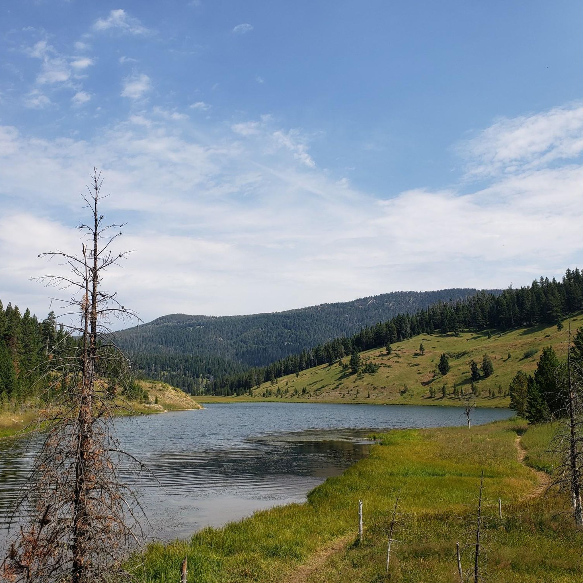
MTB Trails in Custer Gallatin National Forest
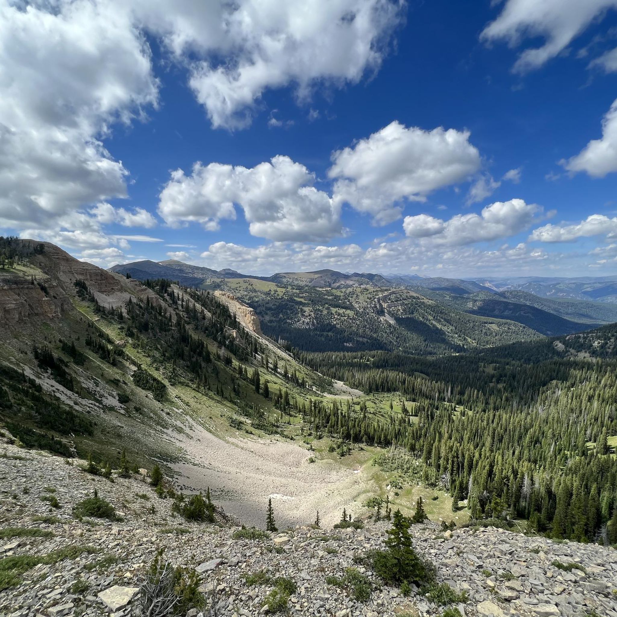
MTB Trails in Gallatin County
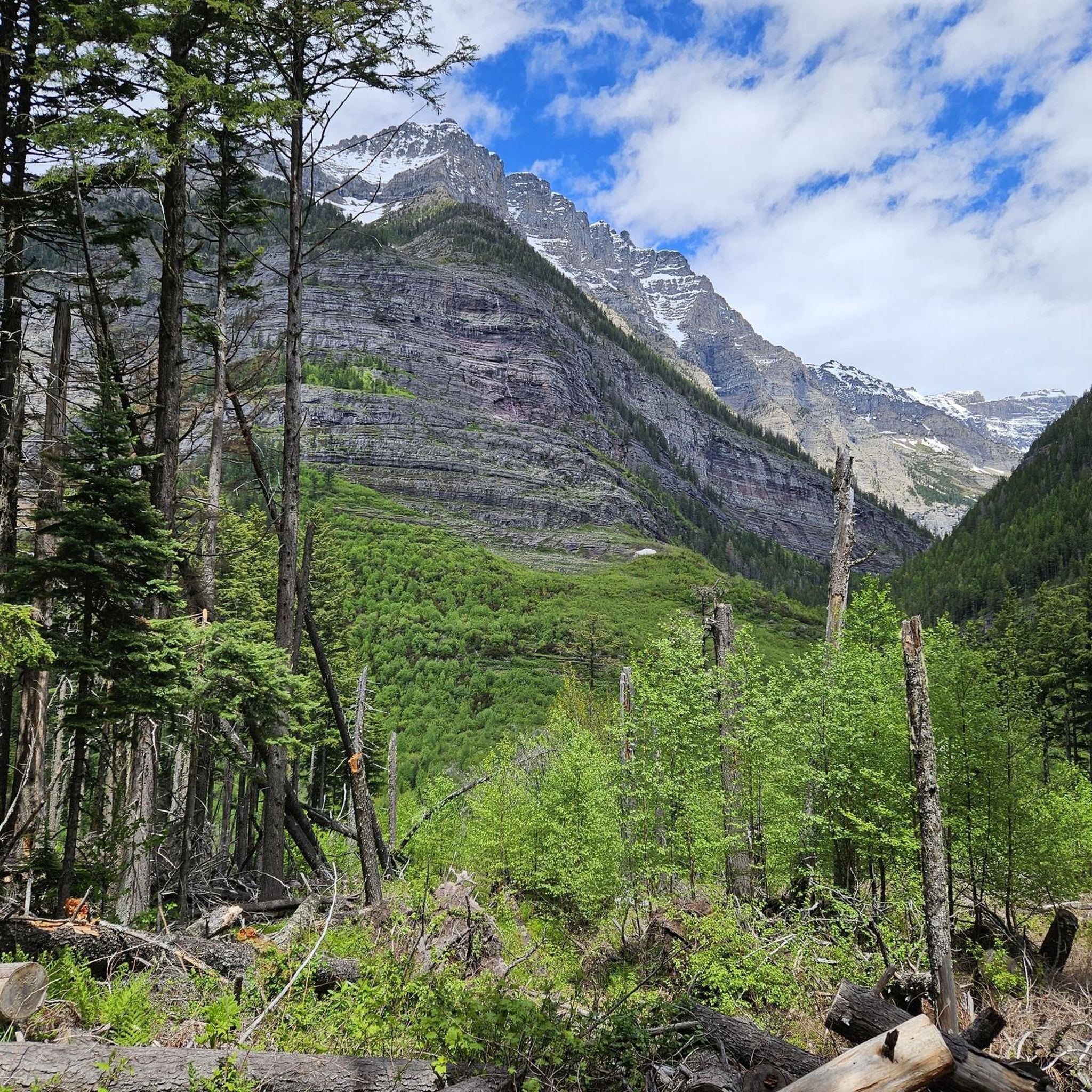
MTB Trails in Flathead County
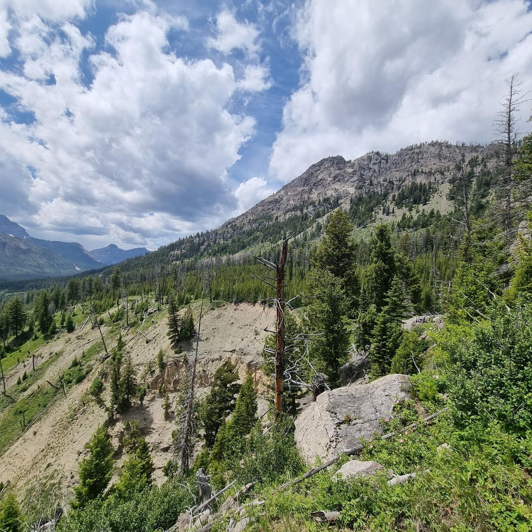
MTB Trails in Park County
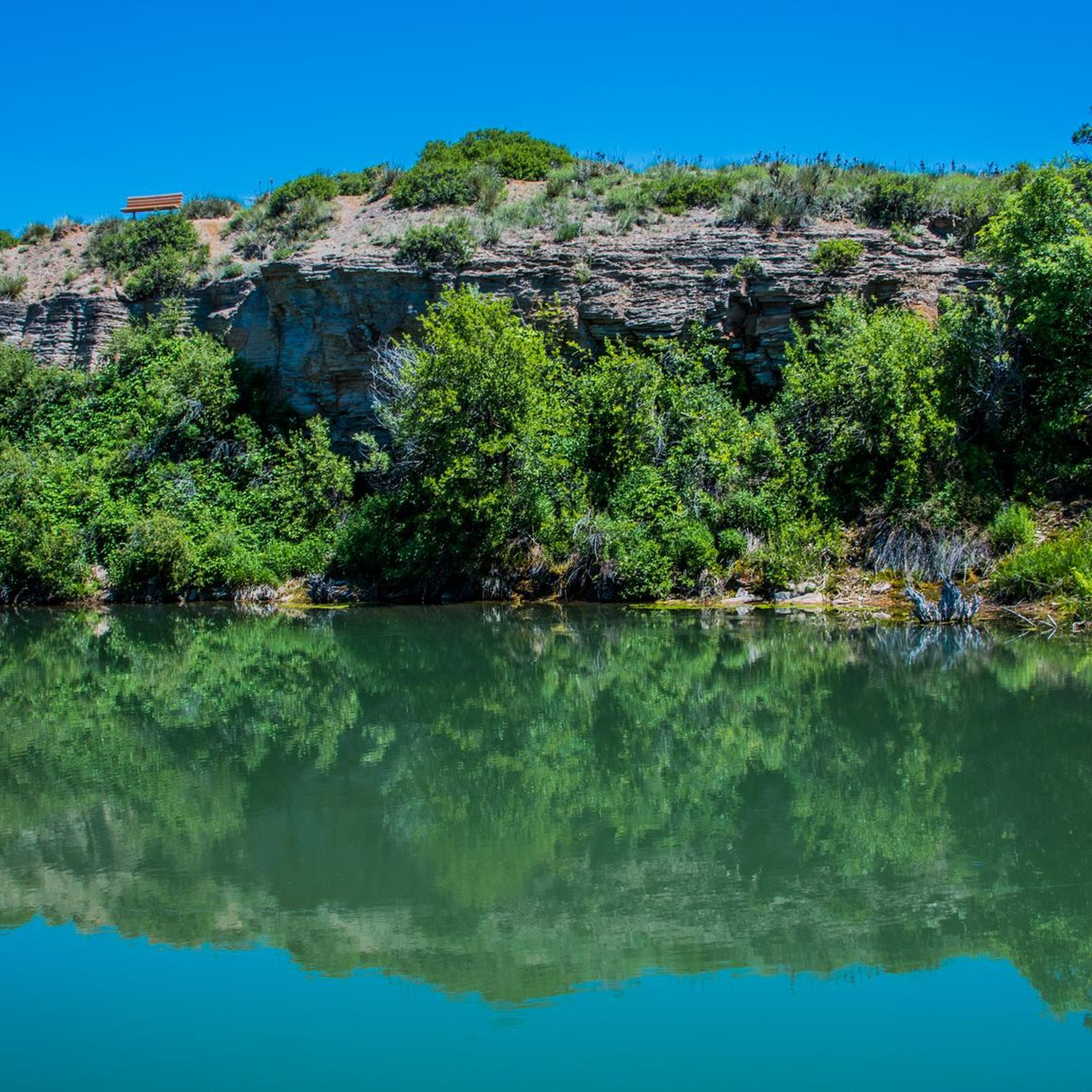
MTB Trails in Helena-Lewis And Clark National Forest
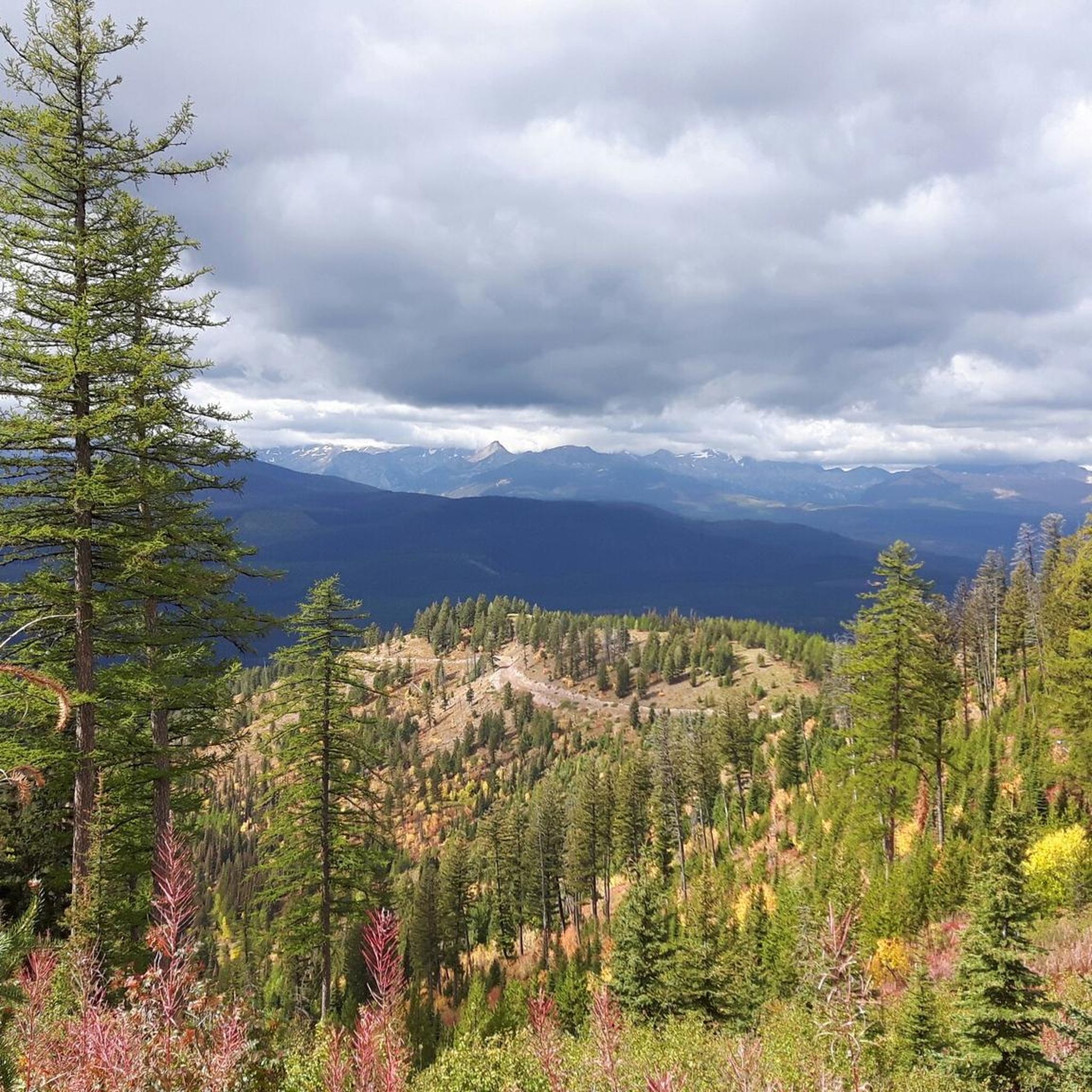
MTB Trails in Missoula County
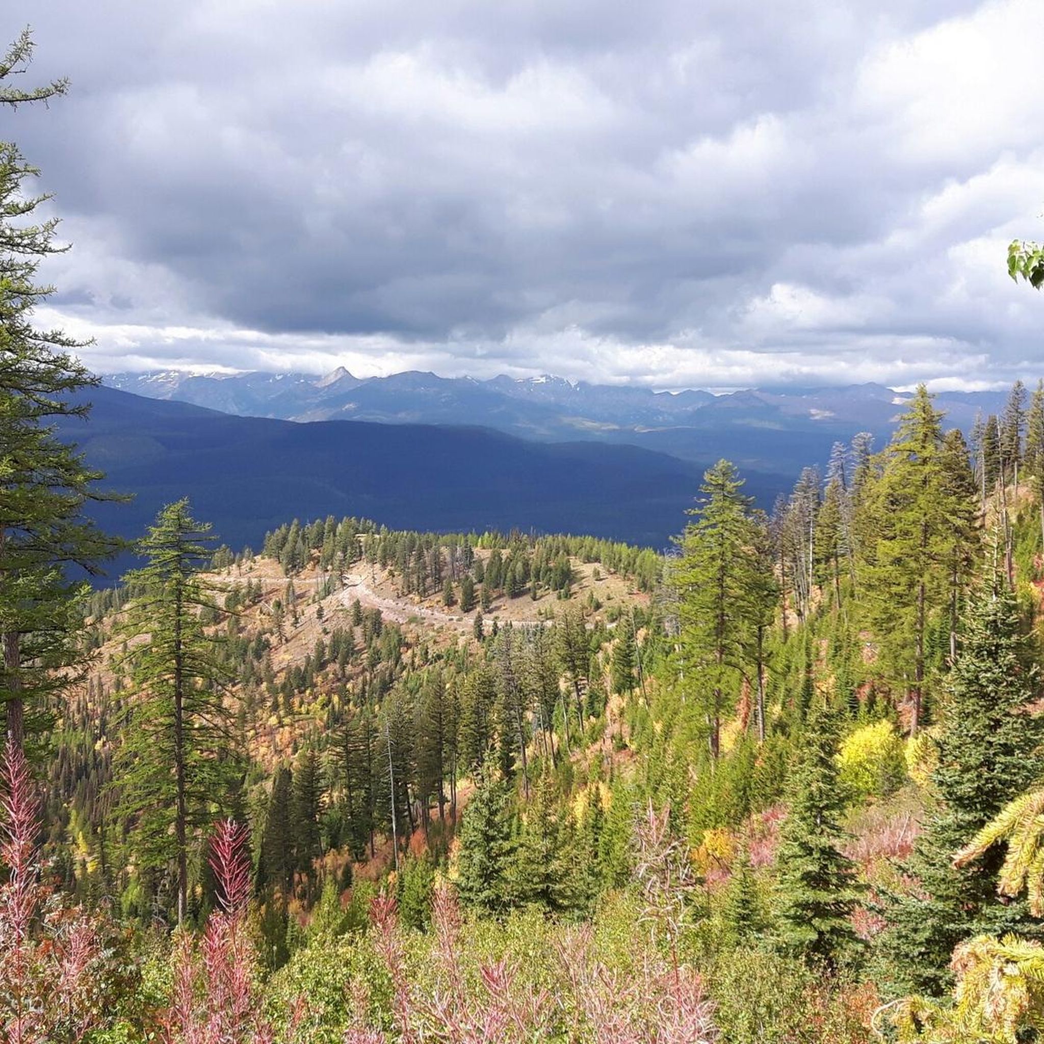
MTB Trails in Lolo National Forest
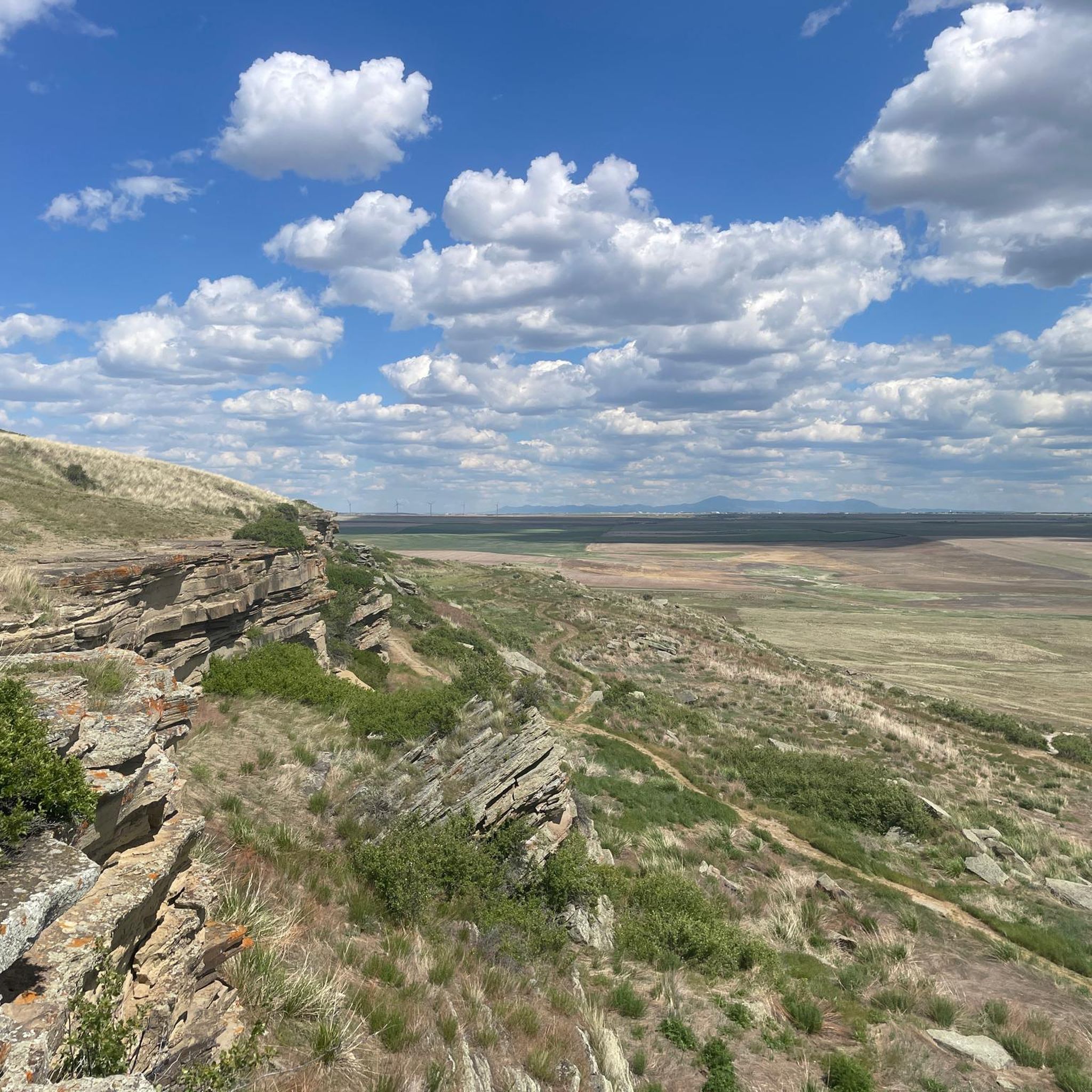
MTB Trails in Lewis and Clark County
MTB Trails in Jefferson County
MTB Trails in the Cabinet Mountains
Other adventures in Montana


Tips from the Community

Mount Ascension is just outside of Helena and gives a nice view of the surrounding natural areas as well as the city. It is a well-maintained trail and open year-round, but in the winter, watch out for ice in the shady areas.
0
0
The end of Beaver Lake Road gives access to the south end of Beaver Lake. Beaver Lake is fishable and has kokanee and rainbow trout.
0
0
Placemark Trail is open to hikers, mountain bikers and horseback riders. This trail and the nearby trails are on a permanent conservation easement on Stoltze Land and Lumber Company.
0
0
Woods Lake is 19.8 acres in size, has Redside Shiner, a native fish, and also has Rainbow Trout, which were introduced to this lake. The lake can be completely circumnavigated by the Woods Lake Loop Trail.
0
0
Little Beaver Lake is a secluded feeling lake, but can be reached by shorter or longer trails. Fishermen use spinning, fly fishing, or baitcasting to catch fish here. The best time to fish here is usually the morning or afternoon.
0
0
This area has a rewarding view over Skyles Lake. From this angle, the lake looks like the shape of a heart. The lake has lots of types of fish, like largemouth bass, northern pike, and yellow perch.
0
0

This is a jumping off point for a lot of trails. There's a couple of easy options through the valley and some others that climb up the ridgelines and lead to some great views.
0
0
While technically this trail is rideable in both directions local etiquette suggests that uphill traffic is better taking the parallel Sawmill Gulch Road so that downhill traffic can feel the flow. Whichever direction you ride keep an eye out for oncoming traffic.
0
0
Frequently Asked Questions
How many mountain bike trails are available in Montana?
Montana offers a vast network of mountain biking opportunities. On komoot, you can find over 130 mountain bike tours, ranging from easy forest rides to challenging technical descents through rugged terrain.
What is the best time of year for mountain biking in Montana?
The ideal time for mountain biking in Montana is typically from late spring through early fall. During these months, the weather is generally mild and dry, with summer offering long daylight hours and autumn providing vibrant fall colors. Always check local conditions before heading out.
What kind of terrain can I expect on Montana's mountain bike trails?
Montana, known as 'Big Sky Country,' features incredibly diverse terrain. You'll find trails winding through majestic mountains, dense forests, alpine meadows, and alongside clear rivers. The landscape includes everything from well-maintained singletrack to rugged, technical descents, catering to various skill levels.
Are there mountain bike trails suitable for beginners in Montana?
Yes, Montana has many trails perfect for beginners. For instance, the Blacktail Mountain Trail is an easy 7.5-mile route offering scenic views, and the Round Meadows Trail is another easy option, a 3.4-mile path winding through forests and meadows.
Where can I find more challenging mountain bike trails in Montana?
For experienced riders seeking a challenge, Montana offers plenty of difficult routes. The Bangtail Divide Trail, for example, is a difficult 30.9-mile route leading through mountainous terrain with panoramic views, often completed in about 5 hours. Other areas like Big Sky Resort also feature challenging lift-accessed downhill runs.
Are there circular mountain bike routes in Montana?
Yes, many mountain bike trails in Montana are designed as loops, allowing you to start and end at the same point. Examples include the Hot Sauce and Hello Kitty Loop, a moderate 4.9-mile ride, and the Ewok and Fenceline Loop, an easy 6.1-mile option.
What notable landmarks or natural features can I see along mountain bike trails in Montana?
Montana's trails often lead to stunning natural attractions. You might encounter impressive gorges like Avalanche Creek Gorge or Sunrift Gorge. The region is also home to beautiful waterfalls such as St. Mary Falls and Ousel Falls. Many trails offer breathtaking viewpoints, like Red Rock Point, showcasing the state's 'Big Sky' vistas.
What kind of wildlife might I encounter while mountain biking in Montana?
Montana is rich in wildlife. Depending on the area, you might spot deer, elk, moose, and various bird species. In more remote areas, there's a chance of seeing larger animals like black bears or even grizzly bears, especially in regions bordering Glacier National Park. Always be aware of your surroundings and carry bear spray if recommended for the area.
Are there specific trail systems known for mountain biking in Montana?
Yes, Montana boasts several renowned trail systems. The Whitefish Trail System offers over 40 miles of trails, including the scenic Skyles Trail. Other popular areas include the Bangtail Divide near Bozeman, Copper City Trails near Butte, and the South Hills Trail System in Helena and Missoula, which includes trails like Mount Helena Ridge.
What do other mountain bikers enjoy most about mountain biking in Montana?
The mountain biking experience in Montana is highly rated by the komoot community, with an average score of 4.9 stars. Reviewers often praise the rugged mountains, diverse landscapes, and extensive trail systems that cater to all ability levels, from easy forest rides to challenging technical descents. The stunning views and sense of wilderness are frequently highlighted.
Are there any mountain bike trails near Flathead Lake?
Yes, Flathead Lake, one of the largest natural freshwater lakes in the western U.S., is surrounded by areas with mountain biking opportunities. The Whitefish Trail System, which includes routes like Whitefish Trail: Lion Mountain, Skyles, and Beaver Lake Loop, is relatively close and offers stunning views, including those of Whitefish Lake, which is part of the Flathead region.
Can I find mountain bike trails that are less crowded in Montana?
While popular trails can see more traffic, Montana's 'Big Sky Country' offers vast wilderness, making it possible to find less crowded routes. Exploring trails outside of peak tourist seasons (summer weekends) or venturing into less-known areas like the Copper City Trails near Butte can provide a more solitary experience. Many trails in National Forests also offer a sense of solitude.
What is the average length and duration of mountain bike trails in Montana?
Mountain bike trails in Montana vary significantly in length and duration. You can find shorter, easier rides like the Round Meadows Trail, which is about 3.4 miles and takes around 18 minutes. Longer, more challenging routes, such as the Reservoir Trail Loop, can be over 14 miles and take several hours to complete, depending on your pace and skill level.
Most popular routes in Montana
Most popular attractions in Montana

Get inspired with the komoot mobile app


Didn’t find what you were looking for?
Check out more MTB trails throughout Montana below and find the perfect route in your destination.
Explore more
Browse the best MTB trails in other regions.
