The best traffic-free bike rides around Valmeinier
4.1
(5)
105
riders
2
rides
No traffic gravel bike trails around Valmeinier are situated in the heart of the Maurienne Valley, Savoie, France, offering a diverse and challenging environment for gravel cycling. The region is characterized by significant elevation changes, deep valleys, and numerous mountain passes, providing varied terrain for riders. Trails often traverse unpaved roads, forest paths, and sections of paved roads, catering to the versatility of gravel bikes. This mountainous landscape, dominated by peaks like Mont Thabor, offers panoramic views and a car-free environment on many paths.
Best no traffic gravel bike trails around Valmeinier
- The most popular no traffic gravel bike trail is Fréjus Pass – Valfréjus loop from Valfréjus, a 13.3 miles (21.4 km) trail that takes 2 hours 15 minutes to complete. This difficult route features substantial climbs through alpine terrain.
- Another top favourite among local gravel bikers is Valloire Village Center – Valloire Village loop from Valloire, a difficult 15.3 miles (24.7 km) path. This route navigates through high mountain terrain, offering extensive views of the Maurienne Valley.
- Local gravel bikers also love the Col d'Albanne (1656 m) – Lake Pramol loop from Montricher-Albanne, a 7.8 miles (12.6 km) trail leading through mountain passes and valleys, often completed in about 1 hour 2 minutes.
- Gravel biking around Valmeinier is defined by mountain passes, alpine villages, and varied surfaces including unpaved roads and forest paths. The network offers options for different ability levels, from moderate climbs to more difficult routes with significant elevation gains.
- The routes in Valmeinier are highly rated by the komoot community with an average score of 4.1 stars from 5 reviews. More than 100 gravel bikers have used komoot to explore Valmeinier's varied terrain.
Last updated: October 12, 2026
5
riders
21.4km
02:15
990m
990m
Hard gravel ride. Very good fitness required. Mostly paved surfaces. Suitable for all skill levels.
5
riders
24.7km
02:45
980m
980m
Hard gravel ride. Very good fitness required. Mostly paved surfaces. Suitable for all skill levels.

6
riders
12.6km
01:03
290m
290m
Moderate gravel ride. Good fitness required. Mostly paved surfaces. Suitable for all skill levels.
Our route recommendations are based on thousands of hikes, rides, and runs completed by other people on komoot.
Start today with a free account
Your next adventure awaits.
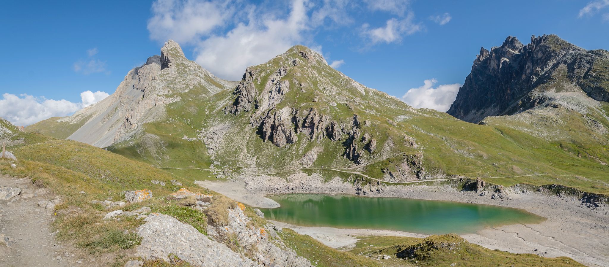
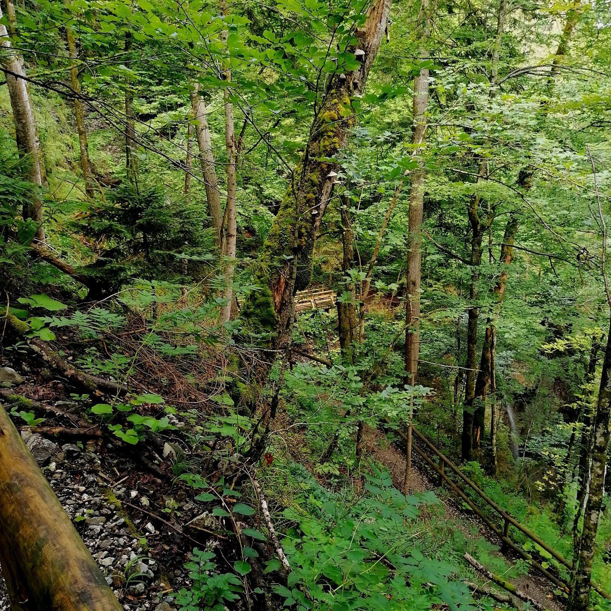
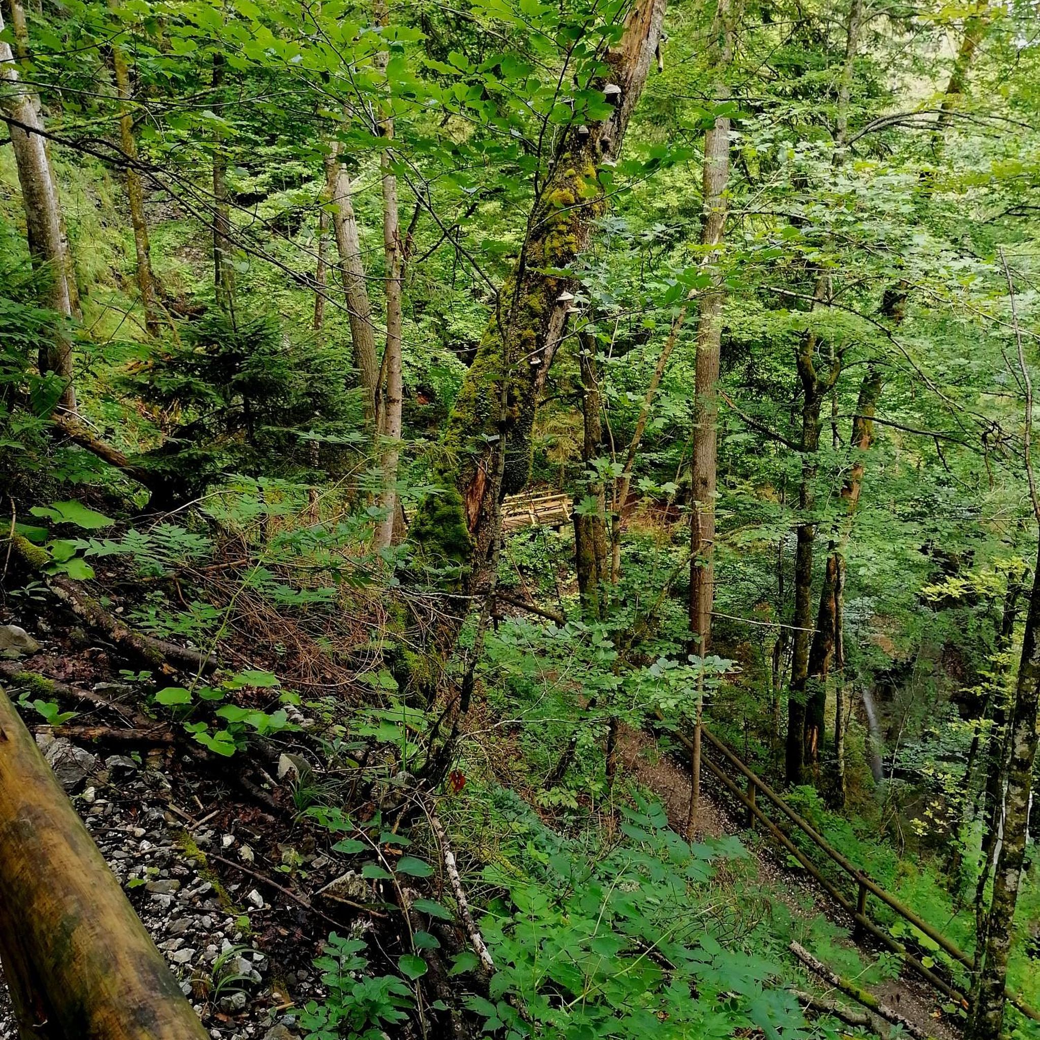
Other adventures around Valmeinier

Tips from the Community

super mega pretty here
0
0


Valloire, located in Savoy at the foot of the Col du Galibier, has ancient origins linked to the name "Vallis Aurea" (Golden Valley) dating back to the 11th century.
10
0

Beautiful mountain village between the Tèlègraphe and the Galibier.
16
0
I took a lot of photos here, these sculptures made with straw are incredible.
14
0
This cave which pays homage to the Madonna is located in Valloire.
14
0
Frequently Asked Questions
How many no-traffic gravel bike trails are available around Valmeinier?
While Valmeinier and the surrounding Maurienne Valley offer a vast network of trails, this guide specifically focuses on curated no-traffic gravel bike routes. Currently, you'll find a selection of 2 dedicated routes, with more being added as we discover and verify them for their car-free experience. These routes are chosen for their stunning alpine scenery and the peaceful riding they offer.
What kind of terrain can I expect on Valmeinier's no-traffic gravel trails?
The no-traffic gravel trails around Valmeinier are characterized by the region's mountainous environment. You can expect varied surfaces, including unpaved roads, forest paths, and sections of paved roads, often with significant elevation changes. These routes are ideal for gravel bikes, offering a blend of challenging climbs and rewarding descents through alpine landscapes.
Are there any easy or beginner-friendly no-traffic gravel routes in Valmeinier?
While many routes in the Valmeinier area feature challenging climbs, this guide includes options suitable for different skill levels. For a moderately challenging ride, consider the Col d'Albanne (1656 m) – Lake Pramol loop from Montricher-Albanne, which offers a manageable elevation gain over 12.5 km. It's a great way to experience the region's beauty without tackling the most strenuous ascents.
What are some of the more challenging no-traffic gravel routes for experienced riders?
Experienced gravel bikers seeking substantial elevation gains and longer distances will find rewarding challenges. The Fréjus Pass – Valfréjus loop from Valfréjus is a difficult route spanning over 21 km with nearly 1000 meters of ascent. Another demanding option is the Valloire Village Center – Valloire Village loop from Valloire, covering almost 25 km with similar elevation gains, offering extensive views of the Maurienne Valley.
What natural attractions can I see along these no-traffic gravel bike trails?
The trails often lead through breathtaking natural landscapes. You might encounter stunning views of the majestic Mount Thabor, which dominates the region. Some routes also offer glimpses of the famous Col du Galibier, or lead to serene spots like Lac Vert. Keep an eye out for the beautiful Fontcouverte Waterfall, a highlight in the area.
Are there any circular no-traffic gravel bike routes in Valmeinier?
Yes, several of the no-traffic gravel routes in this guide are designed as loops, allowing you to start and finish at the same point. For example, the Col d'Albanne (1656 m) – Lake Pramol loop from Montricher-Albanne is a circular route that takes you through diverse scenery. The Valloire Village Center – Valloire Village loop from Valloire also offers a fantastic circular experience.
What is the best time of year for gravel biking in Valmeinier?
The best time for gravel biking in Valmeinier is typically from late spring through early autumn (May to October). During these months, the weather is generally favorable, and most mountain passes and trails are free of snow. Summer offers warmer temperatures and longer daylight hours, while early autumn provides stunning fall foliage. Always check local weather conditions before heading out, especially for higher elevation routes.
What do other gravel bikers say about the no-traffic trails in Valmeinier?
The Valmeinier area is highly rated by the komoot community, with an average score of 4.1 stars. Reviewers often praise the stunning alpine landscapes, the quiet and car-free environment on many paths, and the rewarding challenge of the climbs. The quality of the gravel tracks and the overall riding experience are frequently highlighted.
Can I access these gravel trails using public transport?
Valmeinier is accessible by public transport, particularly during peak seasons. While direct access to every trailhead might require some planning, regional bus services often connect to main villages like Valmeinier, Valloire, and Saint-Michel-de-Maurienne. From these points, you can often cycle directly to the start of many routes. It's advisable to check local bus schedules and bike carriage policies in advance.
Are there places to park my car near the trailheads?
Yes, parking is generally available in and around the main villages and starting points for many routes. For instance, if you're starting the Fréjus Pass – Valfréjus loop, you'll find parking options in Valfréjus. Similarly, routes starting from Valloire or Montricher-Albanne will have designated parking areas. Look for public car parks in these villages, which are usually well-indicated.
Are there any cafes or places to refuel along the no-traffic gravel routes?
While many of the no-traffic routes venture into more remote alpine areas, you'll often find opportunities to refuel in the villages they pass through or near their starting/ending points. Valmeinier and Valloire offer a selection of cafes, restaurants, and shops. It's always a good idea to carry sufficient water and snacks, especially on longer or more isolated sections, as amenities might be sparse between villages.
Most popular routes around Valmeinier
Most popular attractions around Valmeinier

Get inspired with the komoot mobile app


Explore more
Browse the best Gravel rides in other regions.
