The best cycling routes in Mississippi
4.4
(14)
182
riders
41
rides
Touring cycling in Mississippi offers diverse landscapes, from the flat coastal plains along the Gulf of Mexico to the rolling hills and hardwood forests of the state's interior. The region is characterized by its extensive river systems, including the iconic Mississippi River, and features like the Natchez Trace Parkway, which provides dedicated routes for cyclists. Terrain varies from paved scenic byways to multi-use trails, traversing wetlands, agricultural lands, and historic areas.
Best touring cycling routes in Mississippi
- The most popular touring cycling route is Natchez Trace Parkway Alternative Multi-use Trail, a 23.0 miles (37.0 km) trail that takes 2 hours 9 minutes to complete. This route offers a dedicated cycling experience along a historic scenic byway.
- Another top favourite among local touring cyclists is Biloxi Bay Bridge and Boardwalk Loop, a moderate 25.1 miles (40.5 km) path. This route provides coastal views, crossing bridges and featuring boardwalk sections near the Gulf Coast.
- Local touring cyclists also love the Great River Road Bike Trail, a 41.2 miles (66.3 km) trail leading through landscapes alongside the Mississippi River, often completed in about 4 hours 28 minutes.
- Touring cycling in Mississippi is defined by its Gulf Coast barrier islands, the Mississippi River, and extensive hardwood forests, with routes offering options for easy, moderate, and difficult ability levels.
- The routes in Mississippi are highly rated by the komoot community with an average score of 4.6 stars from over 10 reviews. More than 160 touring cyclists have used komoot to explore Mississippi's varied terrain.
Last updated: August 31, 2026
3.5
(2)
6
riders
37.0km
02:09
170m
170m
The Natchez Trace Parkway Alternative Multi-use Trail offers a delightful touring cycling experience, providing a quieter, off-road option parallel to the historic Parkway. You'll cycle through diverse scenery, from dense forests and open farmland to peaceful creeks, with highlights like the Chisha Foka Multi-use Path offering stunning views of the Barnett Reservoir and seasonal wildflowers. This moderate route covers 23.0 miles (37.0 km) with 556 feet (170 metres) of elevation gain, typically completed in about 2 hours and 8 minutes, making it a rewarding journey for those exploring Natchez Trace Parkway multi-use trail routes cycling.
When planning your ride, note that these multi-use sections are especially beneficial in areas like Ridgeland/Jackson, Mississippi, where the main Parkway can experience moderate to heavy vehicle traffic. You'll find restroom facilities roughly every twenty miles along the Parkway, and bicycle-only campgrounds are available for longer trips. For parking and trailheads for Natchez Trace alternative cycling, look for access points in communities along the route, and consider visiting during spring for wildflowers or fall for foliage to experience the best time of year to cycle Natchez Trace alternative trail.
What makes this trail truly stand out is its blend of safety, natural beauty, and historical significance. It allows you to immerse yourself in the region's rich past and picturesque landscapes without the constant presence of cars, offering a more relaxed and continuous ride. The Parkway and its alternative trails are steeped in history, providing access to various natural attractions and historic sites, making it a unique way to explore the area.
3
riders
40.5km
02:41
40m
40m
The Biloxi Bay Bridge and Boardwalk Loop offers a fantastic touring bicycle experience, letting you cruise along the Mississippi Gulf Coast with expansive water views. You'll spend significant time cycling over the impressive Biloxi Bay Bridge and along the dedicated Biloxi Boardwalk, providing a smooth and scenic ride. It's a great way to soak in the coastal atmosphere and enjoy a long, uninterrupted stretch of cycling.
This moderate route covers 25.1 miles (40.5 km) with a gentle 135 feet (41 metres) of elevation gain, typically taking about 2 hours and 40 minutes to complete. Parking is generally available near the start point, and it's best to plan your ride during pleasant weather to fully enjoy the open-air experience. Remember to bring water, especially if you're cycling during warmer periods.
This loop is one of the popular bike trails in Biloxi, Mississippi, offering a unique blend of engineering marvel and natural beauty. Cycling routes like this provide a wonderful opportunity to explore the Mississippi Gulf Coast by bike, connecting communities and offering a fresh perspective on the region's waterfront. It's a prime example of family-friendly cycling in Biloxi Bay, suitable for anyone looking for a longer, enjoyable ride.

Sign up for free
2
riders
61.1km
03:41
390m
390m
The Oxford to Hurricane Landing Public Use Area cycling loop is a fantastic way to explore the region on your touring bicycle. This route offers a moderate challenge, covering 38.0 miles (61.1 km) with 1283 feet (391 metres) of elevation gain, and you can expect to complete it in about 3 hours and 41 minutes. It's a great choice for cyclists looking for a substantial ride that culminates at the tranquil Hurricane Landing Public Use Area.
When planning your ride, consider starting from Oxford, where you'll find typical town amenities and parking. Since this is a touring cycling route, be prepared for varied road conditions and ensure your bike is in good shape. Always carry sufficient water and snacks, especially if you're riding during warmer parts of the day, as specific services along the route may be limited.
This loop provides a good opportunity to experience the local Mississippi landscape, offering a less-trafficked option for cycling routes near Oxford Mississippi. While detailed descriptions of specific scenic viewpoints are not readily available, the journey to and from Hurricane Landing Public Use Area itself offers a pleasant escape for a dedicated cycling adventure.
1
riders
51.2km
02:55
160m
160m
The Ross R. Barnett Reservoir loop via Natchez Trace Parkway offers a delightful touring bicycle experience, blending extensive water views with the lush southern scenery of the Parkway. You'll cycle past the sparkling Ross R. Barnett Reservoir for miles, often spotting wildlife like egrets and herons, before diving into shaded tunnels of trees. The smooth, paved surfaces make for a comfortable ride, perfect for soaking in the Mississippi landscape.
This moderate 31.8-mile (51.2 km) route, with a gentle 530 feet (161 metres) of elevation gain, typically takes around 2 hours and 55 minutes. Access is convenient, with parking available at the Reservoir Overlook at milepost 105.6, which also connects to the Chisha Foka Multi-Use Trail. While the Parkway is generally serene, consider using the multi-use paths near urban areas during peak times for a safer, more relaxed journey.
What makes this route special is its integration with the historic Natchez Trace Parkway, a 444-mile recreational road known for its lack of commercial traffic and stop signs. This section provides a unique opportunity to cycle a piece of history, following an ancient pathway while enjoying modern amenities like dedicated multi-use trails. It's an excellent choice for cyclists seeking a long, scenic, and relatively easy day trip.
1
riders
48.2km
02:49
290m
290m
This touring cycling route offers a delightful blend of history and river views, guiding you through a landscape that feels both serene and engaging. You'll pedal along stretches of the iconic Natchez Trace, known for its gentle curves and tree-lined sections, before transitioning to the more open vistas of the Mississippi River Trail. The journey includes notable landmarks like the charming Bridge of Sighs and the expansive Bluff Park, providing excellent spots to pause and take in the scenery.
Planning your outing is relatively simple, as the route is easily accessible with convenient parking options near the starting point. This moderate 29.9-mile (48.2 km) loop, with 957 feet (292 metres) of elevation gain, typically takes around 2 hours and 49 minutes to complete. It's a fantastic option for a half-day adventure, especially during the pleasant spring and autumn seasons when the weather is most conducive to cycling.
The Natchez Trace and Mississippi River Trail Loop stands out as one of the popular cycling trails in the region, offering a unique opportunity to experience two distinct, historically significant pathways in a single ride. It's an excellent choice for touring cyclists looking for a manageable yet rewarding distance, providing a taste of both the tranquil inland parkway and the majestic riverfront. This route is particularly well-suited for those seeking a balanced ride without extreme climbs or technical sections.
1
riders
39.7km
02:16
110m
110m
The Tanglefoot Trail: New Albany to Ecru Loop offers a delightful touring cycling journey, covering 24.7 miles (39.7 km) with a minimal 362 feet (110 metres) of elevation gain. This moderate route, typically completed in about 2 hours and 16 minutes, guides you through a charming tapestry of Southern scenery, from dense hardwood forests to expansive cotton and soybean fields. You'll enjoy a smooth ride on its 10-foot-wide asphalt surface, with the section near Ecru particularly noted for its beautiful open fields.
Planning your ride is straightforward, with convenient amenities available along the way. The New Albany trailhead plaza serves as a great starting point, and you'll find parking, restrooms, and water at the various "whistle stops" in towns like Ecru. The trail is well-equipped with self-service bike repair stations, and you can even rent bikes from the local library in New Albany, making it accessible for everyone.
This trail holds significant historical value as Mississippi's longest "Rails to Trails" conversion, following the path of a railroad built in 1871 by Colonel William C. Faulkner, great-grandfather of the Nobel Prize-winning author. It was inducted into the Rail-Trail Hall of Fame in 2019, preserving ancient paths once used by the Chickasaw Indians. The route connects several small towns, allowing you to experience local charm and access businesses, making it a unique blend of history and nature.
1
riders
41.2km
02:20
110m
110m
This segment of the Underground Railroad Bicycle Route in Mississippi offers a unique blend of history and scenic touring cycling. You'll pedal through lush green landscapes and past charming small towns, often tracing the path of the Tombigbee River, which historically guided freedom seekers. The route's character is often described as feeling like you're cycling through a William Faulkner novel, providing a deeply evocative experience.
Planning your ride on this moderate 25.6-mile (41.2 km) section is straightforward, with its gentle 353 feet (108 metres) of elevation gain making it quite accessible for most cyclists. You can expect to complete it in about 2 hours and 20 minutes. The route largely utilizes rural roads with light traffic, making for a peaceful journey; consider visiting in spring or fall for the most pleasant weather.
The true highlight of this route is its profound historical connection, memorializing the Underground Railroad. While cycling, you'll encounter historical markers and learn about the clandestine network that helped enslaved African Americans find freedom. This particular section, developed by the Adventure Cycling Association, loosely follows these historic paths, integrating sites that bring this pivotal period to life.
66.3km
04:28
40m
40m
If you're looking for a long, enjoyable touring cycling experience without the grind of significant climbs, the Great River Road Bike Trail is a solid choice. This moderate route stretches for 41.2 miles (66.3 km) and features a remarkably gentle 142 feet (43 metres) of elevation gain, making it accessible for many riders. You can expect to spend about 4 hours and 27 minutes pedaling, with plenty of opportunities to take in the scenery, including a great view of the Mississippi River.
Planning your ride along the Great River Road Bike Trail is straightforward, as the route's low elevation gain means it's less susceptible to extreme weather conditions like snow. While specific trailhead parking information isn't provided, long bike trails typically offer various access points along their length. It's always wise to check local conditions before you go and ensure you have adequate water and supplies for the duration of your ride.
This trail stands out as a prime example of Great River Road cycling trails, offering a chance to experience the historic river corridor from the saddle of your bike. Its relatively flat profile makes it a good option for beginners or families looking for a longer ride, contrasting with more advanced cycling routes that demand significant climbing. The focus here is on steady progress and enjoying the journey alongside one of America's most iconic rivers.
5.0
(1)
1
riders
13.7km
00:46
10m
10m
The Historic Pascagoula Bike Trail offers a wonderfully easy touring cycling experience, perfect for a relaxed outing. This route, spanning 8.5 miles (13.7 km) with a negligible 30 feet (9 metres) of elevation gain, guides you through what promises to be a journey of local historical interest. While specific historical sites are not detailed, the path provides a gentle way to explore the area, with the Round Island Lighthouse serving as a notable landmark along the way. It's an ideal choice for those seeking a low-effort ride with a touch of local flavor.
Planning your visit to this Pascagoula cycling route is straightforward, as its easy difficulty means it's accessible to most riders. The estimated time to complete the trail is around 45 minutes, making it a great option for a quick spin or a leisurely afternoon. Since specific parking details aren't provided, it's a good idea to check local city guides or maps for convenient access points before you head out. Consider riding during the cooler parts of the day, especially if you're visiting during warmer seasons.
This trail stands out as a family-friendly bike ride, suitable for beginners or anyone looking for a smooth, paved experience. Its minimal elevation gain ensures a comfortable journey, allowing you to focus on the surroundings rather than strenuous effort. For those interested in Pascagoula historical sites cycling, this route offers a starting point to connect with the area's past, providing a pleasant way to combine exercise with local exploration.
46.2km
02:47
320m
320m
The Okatibbee Lake loop offers a delightful touring cycling experience, tracing the shores of the expansive 3,800-acre lake. You'll find yourself cruising mostly on paved surfaces, enjoying open water vistas interspersed with sections bordered by lush forest vegetation, providing a refreshing escape into nature. Keep an eye out for local wildlife, including various bird species and even bald eagles, especially during migratory seasons.
This moderate 28.7-mile (46.2 km) route features 1058 feet (322 metres) of elevation gain, typically taking around 2 hours and 47 minutes to complete. The area is managed by the Army Corps of Engineers, ensuring well-maintained facilities like picnic areas and the Twiltley Branch campground, which means easy access and parking for your ride. It's a great choice for cyclists seeking a scenic, accessible loop with a good balance of effort and reward.
One of the standout features is the extensive paved dam, offering a flat, easy mile-long stretch with panoramic views across the lake. Beyond cycling, the lake is a hub for recreational activities, including swimming, making it an ideal spot to combine your ride with other outdoor pursuits. The predominantly paved terrain makes it suitable for a wide range of touring bicycles and skill levels, providing a solid outing near Meridian, MS.
Get access to more routes and recommendations from other explorers.
Sign up for free
Already have an account?
Our route recommendations are based on thousands of hikes, rides, and runs completed by other people on komoot.
Start today with a free account
Your next adventure awaits.
Login or Signup
Popular around Mississippi
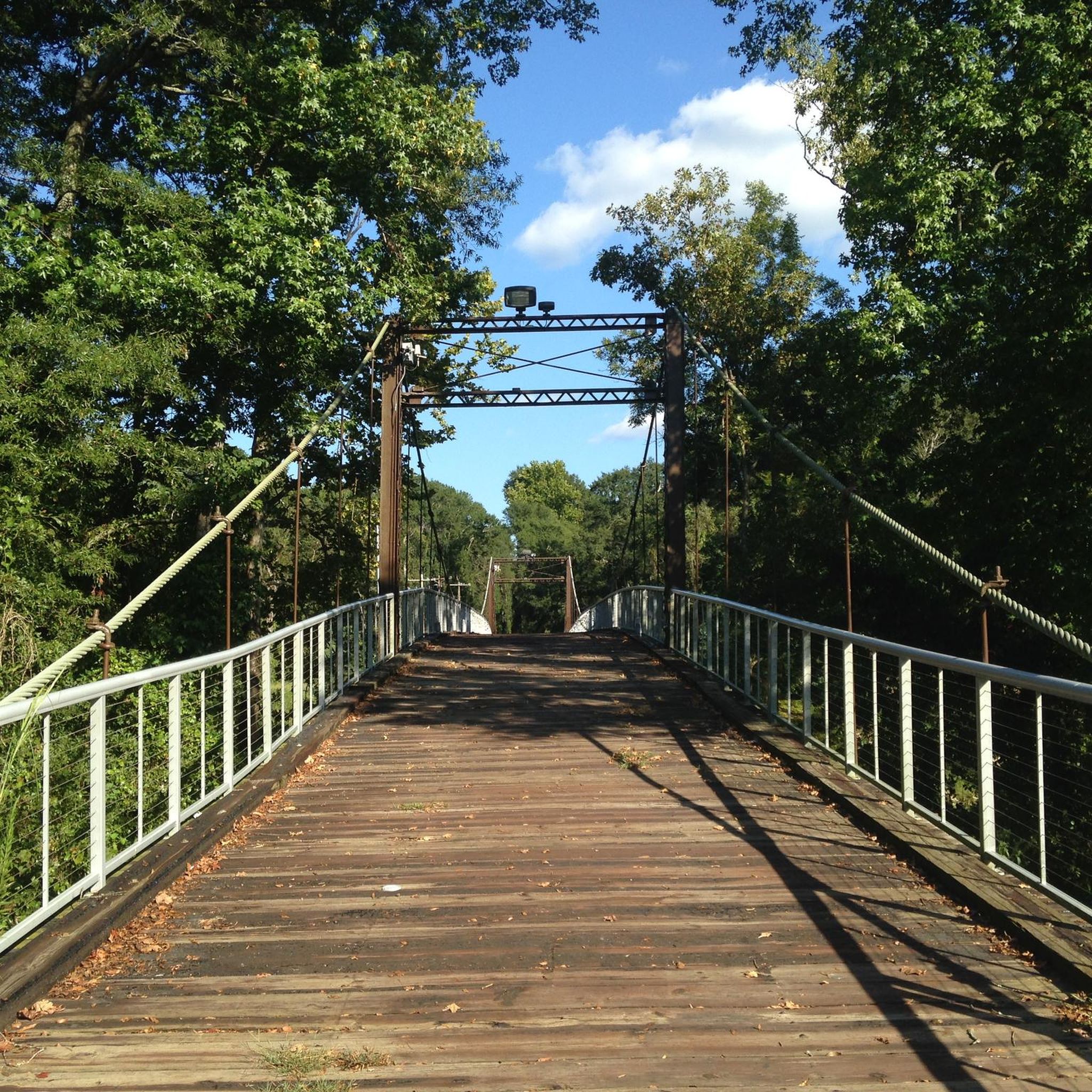
Cycling in Hinds County
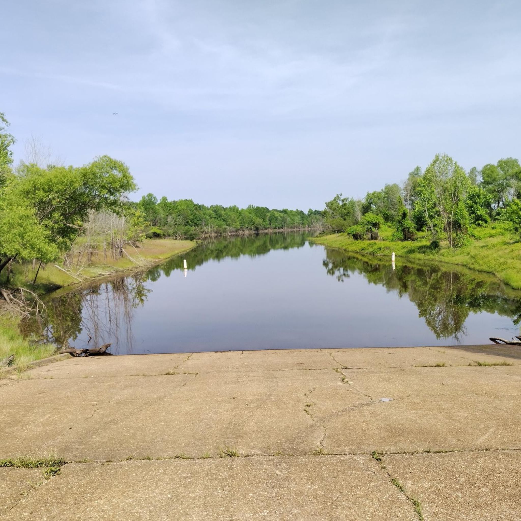
Cycling in Lafayette County
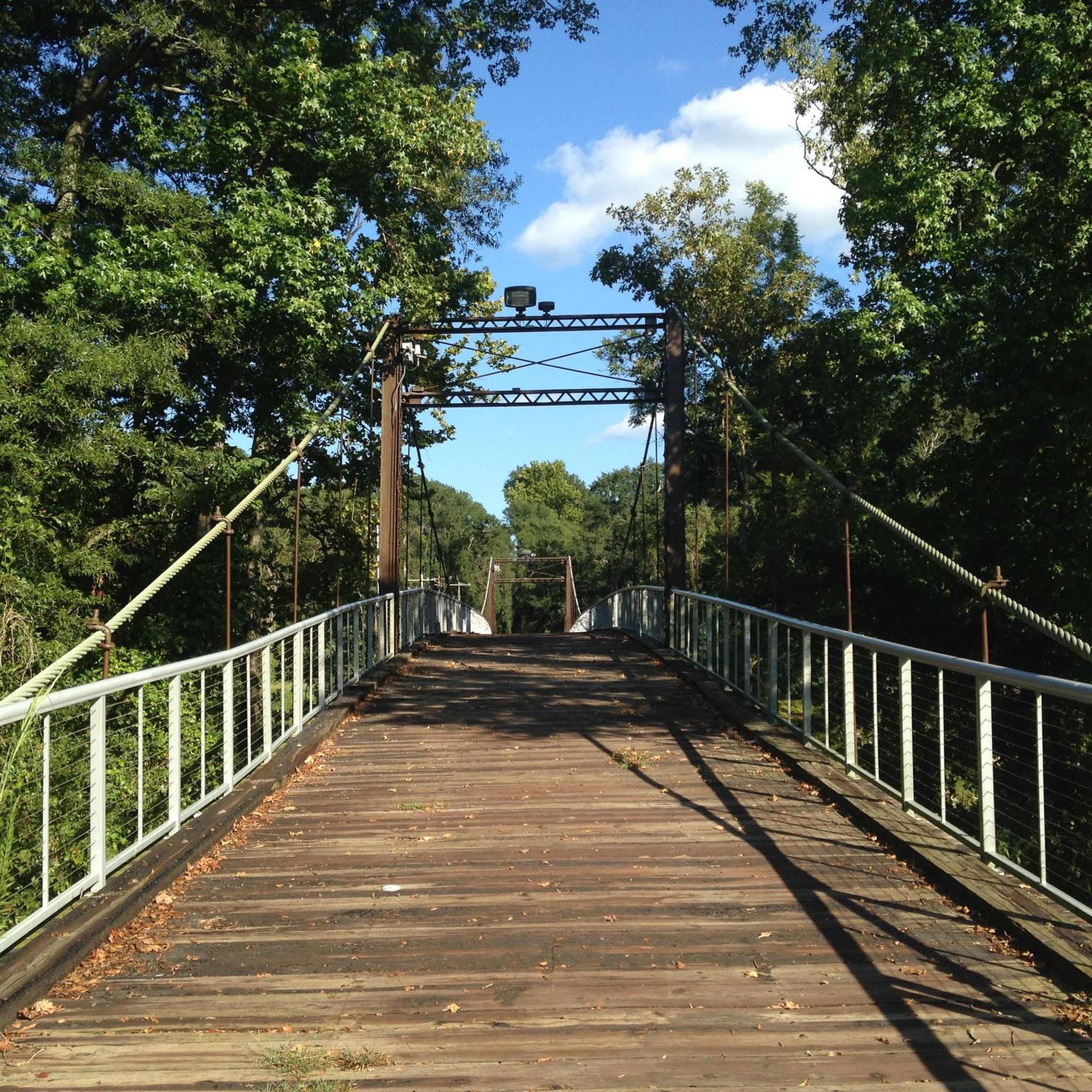
Cycling in Rankin County
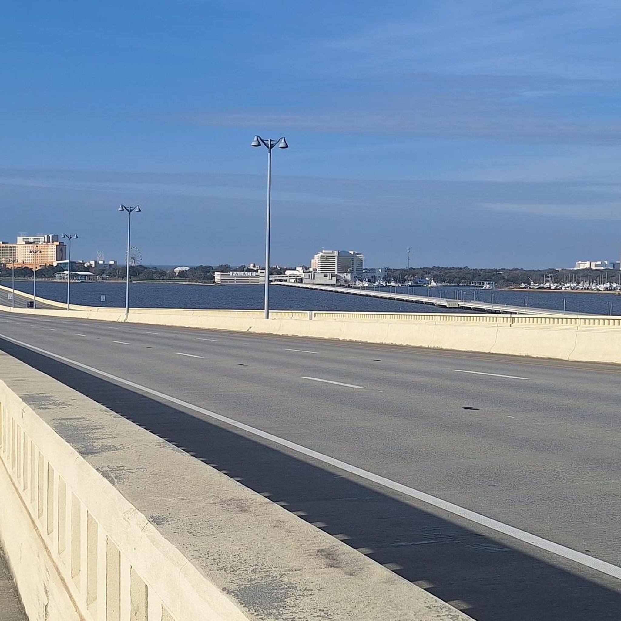
Cycling in Jackson County

Cycling in National Forests In Mississippi
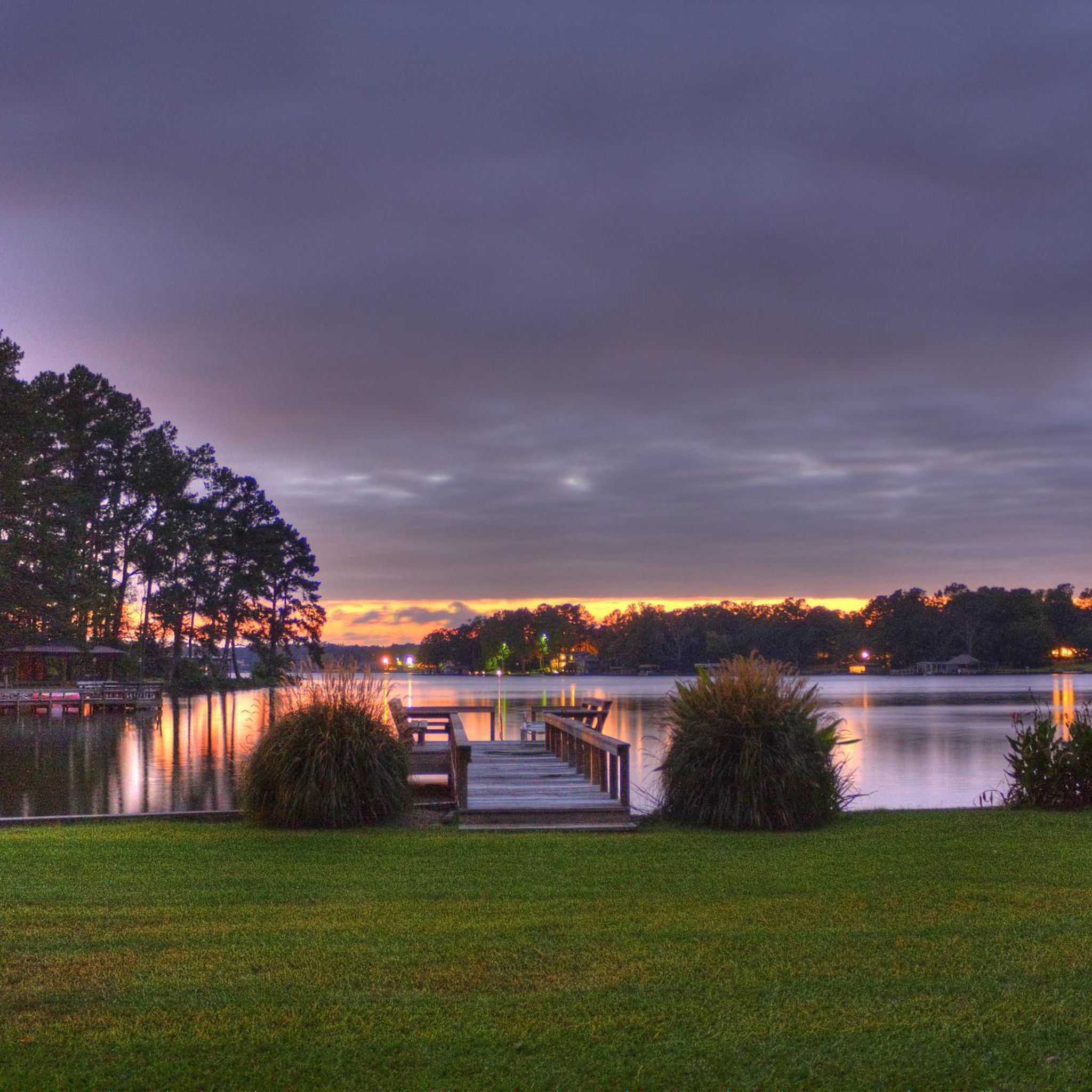
Cycling in Madison County
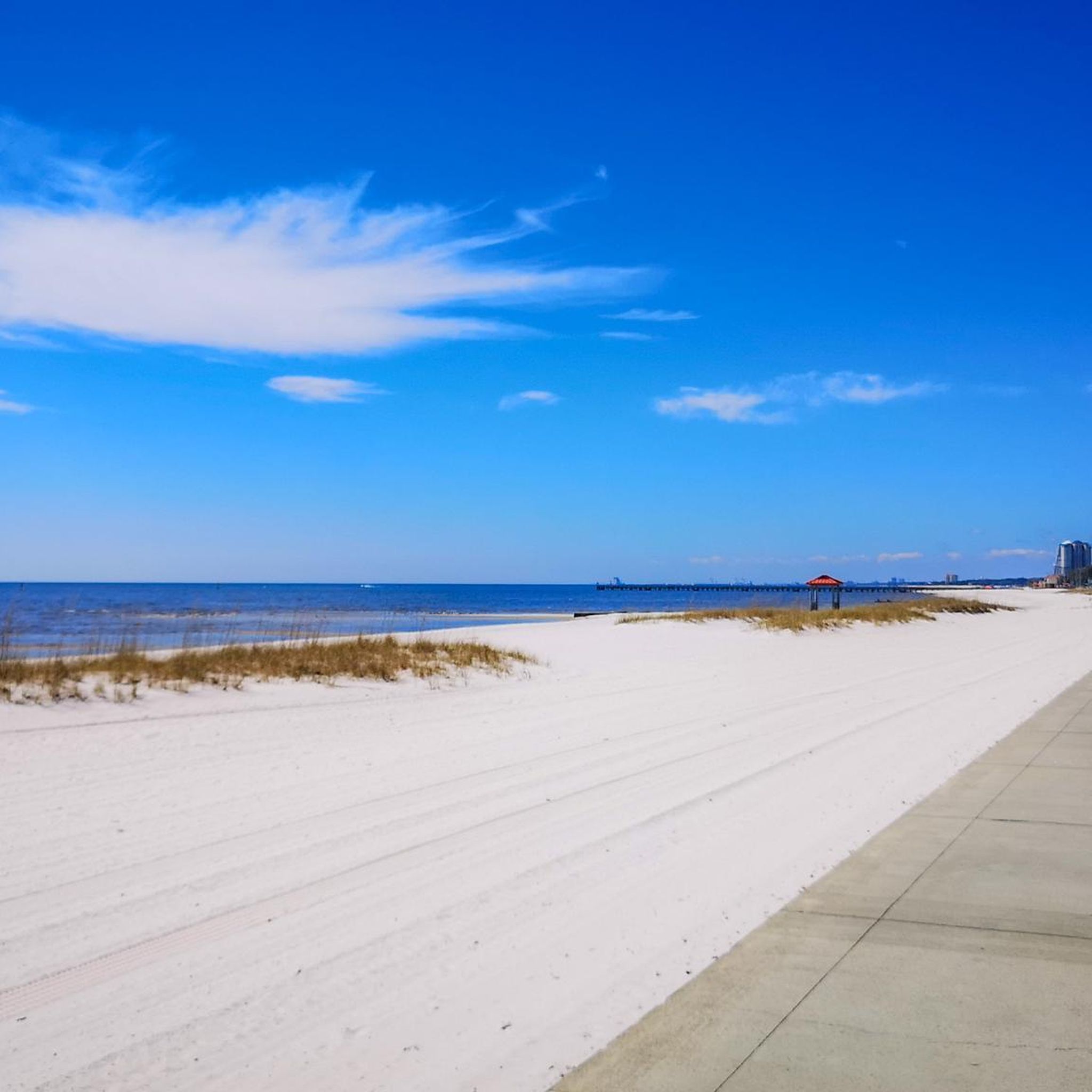
Cycling in Harrison County

Cycling in DeSoto County
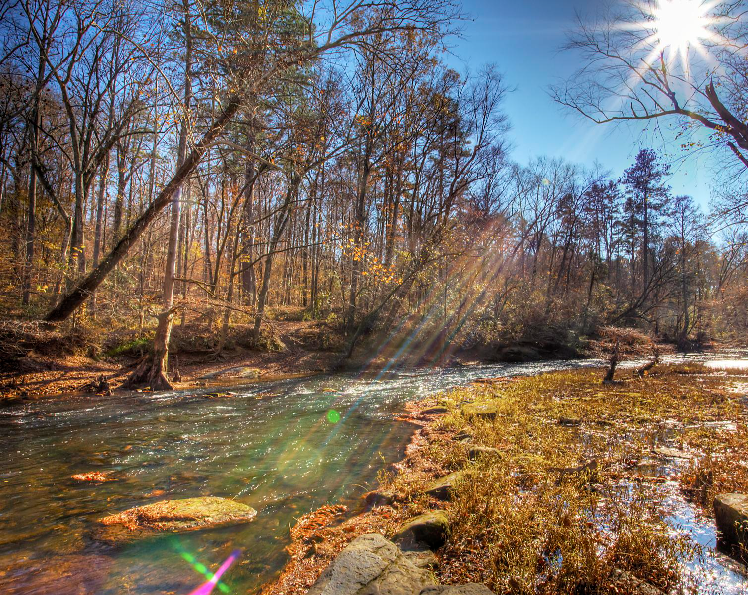
Natchez Trace Parkway — Biking through 10,000 years of history

The rhythms of the river – road trip along the Mississippi


Tips from the Community

The Bridge of Sighs in Natchez has connected two sections of the Bluff Trail over Roth Hill Road since 2015. Reminiscent of a former wooden bridge, it offers sweeping views of the Mississippi River and the "Under-the-Hill" neighborhood. The atmosphere is particularly impressive at sunset. The bridge is part of the waterfront promenade and accessible at all times. It is illuminated in the evenings, ensuring it remains easily accessible even after dark.
1
0

Great view of the Mississippi River. There is an area with seating that is off the road, so you can sit and enjoy the great view and tranquil surroundings.
0
0
Great view point of the Ross E. Barnett Reservoir. While there are no benches or picnic tables, there is a large grass area that you can sit on to have a picnic or take a break.
0
0

There is a great overlook of Ross R Barnett Reservoir from the parking area. This parking area is the southern side of the Natchez Trace Village Dam, and the lake is a popular spot for boating and fishing.
0
0
This park is built on a bluff at the edge of Natchez. As the park is elevated on the bluff, there are great views over the Mississippi River. There are many benches in the park to sit, relax and enjoy the view.
0
0
The Bridge of Sighs is one of the best places to get a view of the MIssissippi River. It is a pedestrian bridge that stretches over Roth’s Hill Road in Natchez and was constructed in 2005. It is a replica of an old bridge that used to span this area that was constructed in the 19th century.
1
0
Okatibbee Lake is a 3,800 acre lake that was created when a dam was constructed. It is a great place to stop for a break and enjoy the calm waters. There are picnic areas and swimming is allowed in the lake.
0
0
The lighthouse was constructed in 1859. It originally stood on Round Island in the Mississippi Sound but was toppled by Hurricane Georges in 1998. In 2010, the base of the lighthouse and other parts that remained after the hurricane were moved to Pascagoula and restored.
0
0
Frequently Asked Questions
How many touring cycling routes are available in Mississippi?
Komoot offers over 40 touring cycling routes across Mississippi. These routes cater to various skill levels, with 16 easy, 21 moderate, and 6 difficult options, ensuring there's a suitable path for every cyclist.
Are there any family-friendly touring cycling routes in Mississippi?
Yes, Mississippi offers several routes suitable for families. The Historic Pascagoula Bike Trail is an easy, shorter option at 13.6 km, perfect for a relaxed family outing. Additionally, many sections of the Natchez Trace Parkway are known for their smooth pavement and minimal traffic, making them ideal for families.
What kind of scenic views can I expect on Mississippi's touring cycling routes?
Mississippi's routes offer diverse scenery. You can experience coastal views along the Biloxi Bay Bridge and Boardwalk Loop, historic landscapes and hardwood forests on the Natchez Trace Parkway Alternative Multi-use Trail, or riverine vistas along the Great River Road Bike Trail. The state's varied terrain includes everything from Gulf Coast beaches to rolling hills and cypress swamps.
Are there any circular touring cycling routes in Mississippi?
Yes, several routes are designed as loops. For example, the Oxford to Hurricane Landing Public Use Area loop offers a moderate 61 km ride. Another option is the Ross R. Barnett Reservoir loop via Natchez Trace Parkway, which is a 51 km moderate route.
What are some longer touring cycling routes for experienced cyclists?
For those seeking longer rides, the Great River Road Bike Trail spans 66.3 km, offering extensive views alongside the Mississippi River. Another substantial option is the Oxford to Hurricane Landing Public Use Area loop at 61 km.
What kind of historical or natural attractions can I explore along the routes?
Mississippi's routes often pass by significant historical and natural sites. You can visit ancient Native American mounds like Pharr Mounds or Emerald Mound. The Natchez Trace and Mississippi River Trail Loop offers a blend of natural beauty and historical context. For unique natural features, consider exploring areas near Closest falls or the Black Creek National Recreation Trail.
What do other touring cyclists say about the routes in Mississippi?
The touring cycling routes in Mississippi are highly regarded by the komoot community, with an average rating of 4.6 stars from over 10 reviews. Cyclists often praise the diverse landscapes, from coastal paths to historic parkways, and the variety of routes available for different skill levels.
Are there any routes that combine the Natchez Trace with other trails?
Yes, the Natchez Trace and Mississippi River Trail Loop is a great example, combining sections of the iconic Natchez Trace with paths along the Mississippi River for a varied touring experience.
What is the best time of year to go touring cycling in Mississippi?
The best time for touring cycling in Mississippi is typically during the spring (March to May) and fall (September to November). These seasons offer milder temperatures, lower humidity, and beautiful natural scenery, making for more comfortable rides. Summers can be very hot and humid, while winters are generally mild but can have occasional cold snaps.
Are there any routes that are less crowded or considered 'hidden gems'?
While popular routes like the Natchez Trace Parkway can attract many cyclists, exploring trails like the Tanglefoot Trail: New Albany to Ecru Loop or the Chautauqua Lake loop might offer a more serene experience. These routes provide beautiful scenery away from the busiest areas.
Can I find routes that are suitable for beginners?
Absolutely. Mississippi has 16 easy touring cycling routes. The Historic Pascagoula Bike Trail is an excellent choice for beginners, offering a relatively flat and shorter distance. Many sections of the Longleaf Trace also provide gentle terrain suitable for those new to touring cycling.
Are there any routes that focus on historical significance?
Yes, the Underground Railroad Bicycle Route (Mississippi) offers a unique historical perspective, tracing paths related to the Underground Railroad. The Natchez Trace Parkway itself is a historic byway, rich with cultural and historical markers.
Most popular routes in Mississippi
Most popular attractions in Mississippi

Get inspired with the komoot mobile app


Didn’t find what you were looking for?
Check out more Cycling routes throughout Mississippi below and find the perfect route in your destination.
Explore more
Browse the best Cycling routes in other regions.
