The best gravel rides in Oxford County
5.0
(3)
19
riders
4
rides
Gravel biking in Oxford County offers an extensive network of unpaved roads and varied terrain. The region is characterized by rolling hills, quiet farm lanes, and tree-lined roads that pass through wetlands and forests. Cyclists can explore routes that feature views of agricultural landscapes and natural areas, providing a diverse experience for different skill levels.
Best gravel bike trails in Oxford County
- The most popular gravel bike trail is Crystal Lake – Davis Hill Dirt Road loop from Conway Lake…
Last updated: October 29, 2026
5.0
(1)
2
riders
28.2km
02:08
400m
400m
Moderate gravel ride. Good fitness required. Mostly paved surfaces.
5.0
(2)
3
riders
39.5km
02:33
500m
500m
Hard gravel ride. Very good fitness required. Mostly paved surfaces.

2
riders
13.7km
01:04
200m
200m
Moderate gravel ride. Good fitness required. Mostly paved surfaces.
4
riders
78.7km
04:52
470m
470m
Hard gravel ride. Very good fitness required. Mostly paved surfaces.
1
riders
Hard gravel ride. Very good fitness required. Mostly paved surfaces.
Our route recommendations are based on thousands of hikes, rides, and runs completed by other people on komoot.
Start today with a free account
Your next adventure awaits.

Other adventures in Oxford County

Tips from the Community


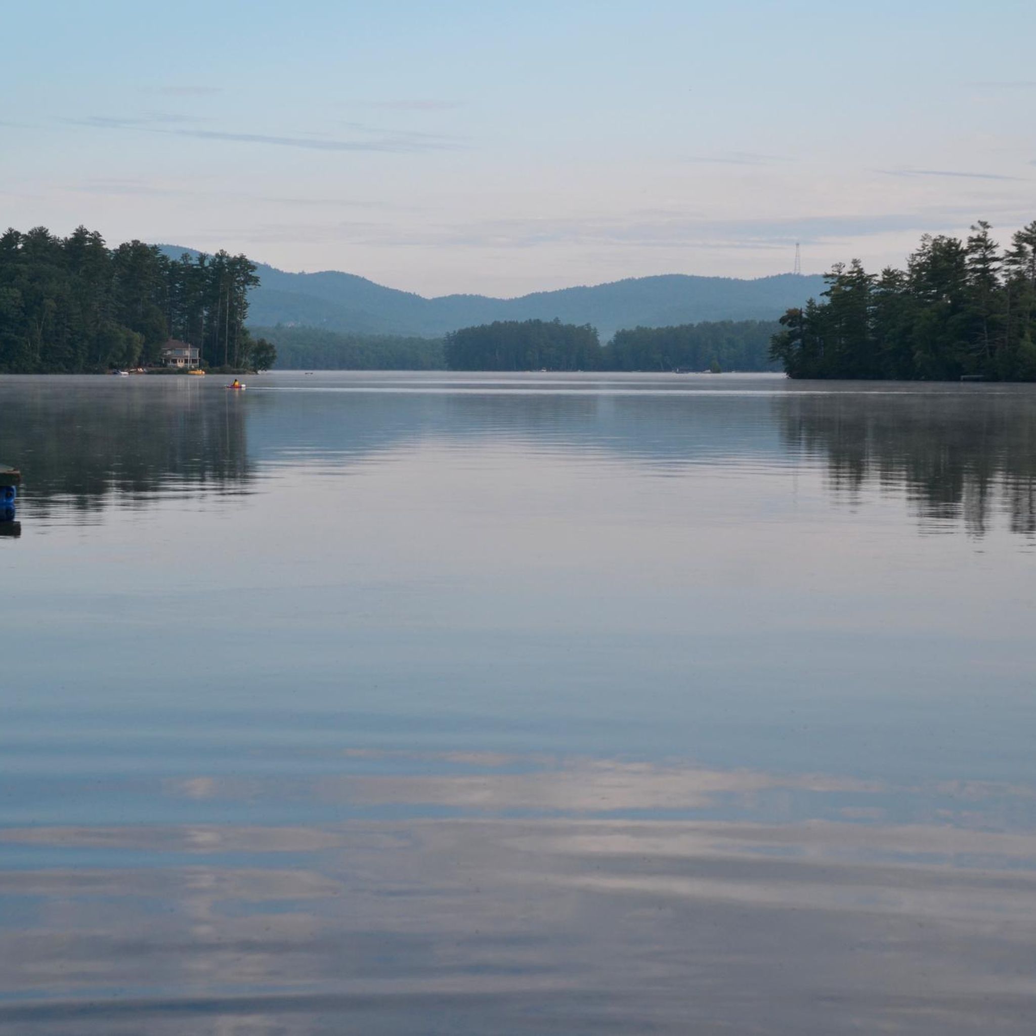
Crystal Lake is a 401-acre lake and is closed to motorized boats. It's a great spot for kayaking, paddleboarding, and canoeing. From the shores, you can see the 'Little White Church', which is the most photographed church in New England.
0
0

Province Lake straddles both Maine and New Hampshire. The road runs right along the waters edge with uninterrupted views across to the forests and mountains in the distance. It's like you're riding along the beach.
0
0

Everything is possible! I went from east to west w a 35kg, approx 80lb, loaded touring bike and I made it. Took me about 45min but it's a great ride. Then head down into Conway! Not much traffic, great road quality. It's short and steep, I walked about 600m (the two 17% parts).
0
0

There's a brook here that you have to cross that doesn't show up on Komoot's map. It was about a foot deep at the start, then shallower but slippery stones. Not bad generally, but was tricky with my road shoes.
0
0

A typical wide, well packed NH dirt road, which you can blast along on a CX bike or even road bike with 25+ tyres. Low trafficked, as there aren't many homes on this stretch either. Heading northwards you'll also pick up a couple of fun climbs!
0
0

Hurricane Mountain Road is very challenging, especially with a fully loaded touring rig. Great road condition!
0
0
If you've ever wanted to push the limit, then Hurricane Mountain Road is for you. From the north, it's 3.5km climb at 10%, from the south, it's a 2.5km climb at 11%. Both sides have their own character, but both will empty your tank. The narrow, freshly asphalted (2020) road, which doesn't have a huge amount of traffic weaves through the forest and alongside a brook (Southside). Gradients change, curves probe your micro gradient management, you chase shadows as you look to keep cool. It's a regional classic, and a great leveler of any cyclist. the feeling you get at the top will be exhilarating... and then there's the downhill to look forward too!
1
0
Frequently Asked Questions
What makes Oxford County a great destination for gravel biking?
Oxford County, Ontario, is renowned for its extensive network of unpaved roads, picturesque landscapes, and a vibrant local cycling community. It offers a diverse mix of winding rural roads, forested trails, and charming small towns, making it ideal for cyclists of all levels. The region's grid system of roadways and vast agricultural lands provide endless scenic riding opportunities.
Are there routes suitable for beginners or families?
Yes, Oxford County offers routes that cater to various skill levels. While specific beginner-only routes aren't detailed, the region's extensive network includes quiet farm lanes and less challenging sections. The local tourism board provides resources that can help identify easier options, often incorporating sections of the Hickson Trail which is generally accessible.
What kind of terrain can I expect on Oxford County gravel trails?
You can expect a diverse range of terrain, including rolling hills, quiet farm lanes, tree-lined roads, and stretches that pass through wetlands and dense forests. Many routes feature hard-packed gravel, with some sections offering a more 'rough and ready' experience, particularly on trails like the Hickson Trail. You'll often be surrounded by bucolic farmlands and meadows.
Are there any long-distance gravel routes in Oxford County?
For those seeking longer rides, routes like the 74km Woodstock, Hickson Trail, Wolverton route or the 75km Big Bad Wolve route offer substantial distances. The Trans Canada Trail also provides a 17km unpaved rail trail segment east from Tillsonburg, which can be incorporated into longer excursions.
What are some notable natural features or landmarks I might see?
Cyclists can enjoy views of the Thames River, vast agricultural landscapes, and the natural settings of the Hickson Trail. The Pittock Conservation Area in Woodstock offers trails and views of the Pittock Reservoir/Dam. For a historical stop, the African Methodist Episcopal Cemetery near Otterville is a notable landmark.
Can I find places to eat or drink along the routes?
Many routes pass through or near charming towns like Ingersoll and Tillsonburg, offering opportunities to stop at local establishments. You might find places like Kintore Coffee Co. in Embro, The Olde Bakery Café in Ingersoll, or Gunn's Hill Artisanal Cheese for a snack or refreshment.
What is the best time of year for gravel biking in Oxford County?
The region offers enjoyable riding conditions through much of the year. Spring and fall provide pleasant temperatures and vibrant scenery. While winter riding is possible, conditions can vary with snow and ice. Summer offers warm weather, but it's advisable to carry plenty of water and be mindful of sun exposure.
Are there any circular gravel bike loops available?
Yes, many of the well-curated routes in Oxford County are designed as loops. Examples include the moderate 32-kilometer Gravel King Ride and the more extensive 75km Big Bad Wolve route, both of which offer circular experiences starting and ending in convenient locations.
Where can I find more detailed maps or official route information?
The local cycling community, in collaboration with Tourism Oxford and Ontario By Bike, has developed and published numerous easy-to-follow gravel cycling routes. You can find digital maps with information on surface type, difficulty levels, and safety notes on the Tourism Oxford website.
What do other gravel bikers enjoy most about Oxford County?
The komoot community rates the gravel biking experience in Oxford County highly, with an average score of 5.0 stars. Riders often praise the extensive network of quiet gravel roads, the scenic rural charm of the farmlands, and the variety of terrain that keeps rides engaging. The well-curated routes and opportunities to visit local businesses are also frequently highlighted.
Is parking available at trailheads?
While specific parking details for every trailhead are not listed, routes often start from towns or designated areas where parking is generally available. For example, routes starting in Woodstock or Tillsonburg would typically have accessible parking options. It's always recommended to check specific route details for parking information before heading out.
Most popular routes in Oxford County
Most popular attractions in Oxford County

Get inspired with the komoot mobile app


Explore more
Browse the best Gravel rides in other regions.
