The best hikes from bus stations around Oberkatz
4.5
(2168)
6,834
hikers
164
hikes
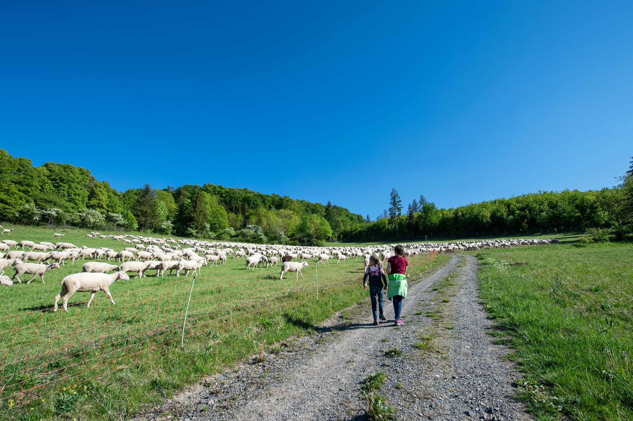
Hiking around Oberkatz, situated within the Rhön Biosphere Reserve, features diverse landscapes characterized by a varied topography of forests, open fields, and calcareous grasslands. This region is part of the Rhön low mountain range, offering expansive views and prominent elevations such as Hohe Geba and Hohe Löhr. The village lies in the Katzgrund, with the Katza river adding to the varied terrain. This area provides a network of bus station hiking trails suitable for exploring the distinctive Rhön cultural landscape.
Best bus station hiking trails around Oberkatz
- The most popular bus station hiking route is Hohe Löhr (638 m) – Hohe Geba Summit loop from Oberkatz, an 8.4 miles (13.5 km) trail that takes 3 hours 54 minutes to complete. This moderate route includes significant elevation gain, leading to panoramic views from the summits.
- Another top favourite among local hikers is Extratour Gebaweg Premium Trail – Hohe Löhr (638 m) loop from Oberkatz, a moderate 6.1 miles (9.9 km) path. This trail offers varied terrain through the Rhön landscape, including ascents to the Hohe Löhr.
- Local hikers also love the Schäferweg Trail – Extratour Gebaweg Premium Trail loop from Oberkatz, a 6.7 miles (10.7 km) trail leading through forests and open fields, often completed in about 3 hours 18 minutes.
- Hiking around Oberkatz is defined by rolling hills, expansive vistas, and varied forest and grassland paths. The network offers options for different ability levels, from easy strolls to more challenging routes.
- The routes in Oberkatz are highly rated by the komoot community with an average score of 4.6 stars from over 2100 reviews. More than 6800 hikers have used komoot to explore Oberkatz's varied terrain.
Last updated: September 26, 2026
4.7
(6)
26
hikers
13.5km
03:55
340m
340m
Moderate hike. Good fitness required. Easily-accessible paths. Suitable for all skill levels.
3
hikers
9.90km
02:54
270m
270m
Moderate hike. Good fitness required. Easily-accessible paths. Suitable for all skill levels.
1
hikers
10.7km
03:18
390m
390m
Moderate hike. Good fitness required. Easily-accessible paths. Suitable for all skill levels.
Get access to more routes and recommendations from other explorers.
Already have an account?
Our route recommendations are based on thousands of hikes, rides, and runs completed by other people on komoot.
Start today with a free account
Your next adventure awaits.
Popular around Oberkatz


Tips from the Community

Magnificent hiking trail with great views.
0
0

This is a great stamp point.
3
0

and stamps - you have to have been here ;-)
0
0

Beautiful landscape that we wouldn't have discovered without our stamp addiction.
4
0
Great hut with summit book, very well maintained.
8
0
The view🫠
8
0
There are plenty of well-signposted hiking trails in this truly beautiful Rhön Biosphere Reserve.
0
0
Frequently Asked Questions
How many hiking trails are accessible from bus stations around Oberkatz?
There are over 160 hiking trails around Oberkatz that are easily accessible from local bus stations. These routes cater to various preferences, with 64 easy, 88 moderate, and 14 difficult options available.
What kind of terrain can I expect on bus-accessible hikes in the Oberkatz area?
The Oberkatz area, nestled in the Rhön Biosphere Reserve, offers a diverse landscape. You'll encounter rolling hills, expansive open fields, and forests, characteristic of the Rhön's 'Land of Open Vistas'. Trails often feature varied topography, including calcareous grasslands and ascents to prominent elevations like the Hohe Geba and Hohe Löhr.
Are there any family-friendly or dog-friendly hiking options from Oberkatz bus stops?
Yes, the region is great for families and dogs. The Schäferweg Trail, for example, is a moderate loop that follows old sheep tracks and features interactive stations, making it ideal for families. Many trails are suitable for dogs, but always ensure they are leashed and respect local wildlife.
Which bus-accessible trails offer the best viewpoints around Oberkatz?
For stunning panoramic views, consider routes that lead towards the Hohe Geba or Hohe Löhr. The Rhön region is known for its 'Land of Open Vistas'. You can also visit the Noah's Segel Observation Tower on the Ellenbogen, which offers extensive views of the Rhön, including Staufelsberg and Engelsberg.
Are there any circular hiking routes starting from bus stations in Oberkatz?
Yes, many routes are designed as circular walks, allowing you to return to your starting point without retracing your steps. An example is the Hohe Löhr (638 m) – Hohe Geba Summit loop from Oberkatz, which offers a comprehensive experience of the local landscape.
What natural landmarks or attractions can I see along the bus-accessible trails?
The trails around Oberkatz offer access to several natural and historical landmarks. You can explore the Hohe Geba Summit, known for its panoramic views, or discover the Noah's Segel Observation Tower on the Ellenbogen. Other points of interest include the Kolben Nature Reserve and the historic Witch's Linden.
Are there any lakes or water features accessible from bus station hikes?
While the immediate bus station hikes might not lead directly to large lakes, the wider region around Oberkatz features several water bodies. You can find the Grimmelbach Reservoir, Seeba Lake, and Filke Fishing Ponds in the vicinity, which can be incorporated into longer excursions or visited separately.
What is the best time of year to go hiking from Oberkatz bus stops?
The Rhön Biosphere Reserve is beautiful year-round. Spring brings blooming wildflowers, while summer offers lush green landscapes. Autumn provides vibrant foliage and comfortable temperatures. Even winter can be enchanting, with snow-covered hills, though some trails might require appropriate gear. The 'Land of Open Vistas' is particularly stunning on clear days in any season.
Are there any challenging hikes accessible by bus from Oberkatz?
Yes, for those seeking a challenge, there are 14 difficult routes available. An example of a moderate yet demanding route is the Hohe Löhr (638 m) – Hohe Geba Summit loop from Oberkatz, which covers over 13 km with significant elevation gain, requiring good fitness.
What do other hikers say about the trails around Oberkatz?
The hiking trails around Oberkatz are highly regarded by the komoot community, boasting an average rating of 4.5 stars from over 2,100 reviews. Hikers often praise the diverse landscapes, the expansive views from points like the Hohe Geba, and the well-maintained trail networks that cater to various fitness levels.
Are there options for refreshments or cafes along bus-accessible routes?
While specific cafes directly on every bus-accessible route might vary, the Hohe Geba summit, a focal point for several hiking routes, features a snack bar. Additionally, the village of Oberkatz and other nearby towns offer various refreshment options. It's always a good idea to check opening times, especially during off-peak seasons.
Most popular attractions around Oberkatz

Get inspired with the komoot mobile app


Explore more
Browse the best Hikes in other regions.
