The best walks and hikes around Fifth Corgary Or First Croagh
5.0
(1)
27
hikers
3
hikes
Hiking around Fifth Corgary Or First Croagh features a landscape characterized by river valleys, woodlands, and gentle hills. The region's hiking trails often follow waterways like the River Finn, offering accessible paths through natural settings. Elevations are generally moderate, with some routes providing more significant climbs through gaps and forested areas. This area provides a mix of easy riverside loops and longer, more challenging trails.
Best hiking trails around Fifth Corgary Or First Croagh
- The most popular hiking route is…
Last updated: August 6, 2026
5.0
(1)
10
hikers
3.18km
00:49
10m
10m
Easy hike. Great for any fitness level. Easily-accessible paths. Suitable for all skill levels.
7
hikers
10.8km
03:10
300m
300m
Moderate hike. Good fitness required. Easily-accessible paths. Suitable for all skill levels.

Sign up for free
30.1km
08:13
460m
460m
The Salmon Leap from Barnesmore Gap is a difficult 18.7-mile hike in County Donegal, offering stunning views and the chance to see salmon.
4
hikers
6.06km
01:36
50m
50m
Easy hike. Great for any fitness level. Easily-accessible paths. Suitable for all skill levels.
6
hikers
4.06km
01:03
20m
20m
Easy hike. Great for any fitness level. Easily-accessible paths. Suitable for all skill levels.
Our route recommendations are based on thousands of hikes, rides, and runs completed by other people on komoot.
Start today with a free account
Your next adventure awaits.
Login or Signup
Popular around Fifth Corgary Or First Croagh

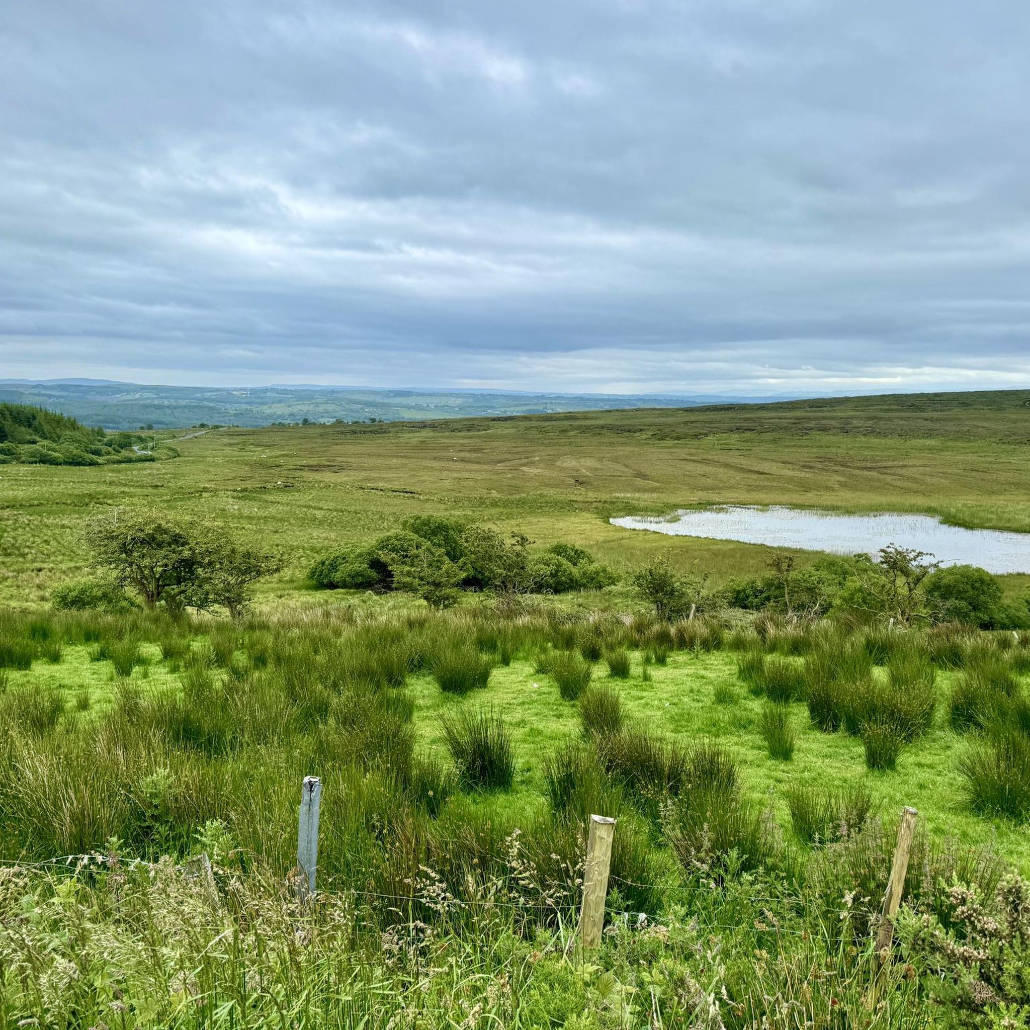
Tips from the Community

A clear track ascends to Croaghonagh, one of the principal peaks above the Barnesmore Gap. Expect vast views across beautiful Donegal. You can spot distant Errigal on a clear day, a fine sight.
0
0
A legendary peak dominates the distant skyline of the ascent of Croaghonagh. The unmistakable shape of Errigal entices the eye, a clarion call for eager hillwalkers and scramblers. Errigal is Donegal's most famous mountain, a great pyramid of quartzite that dominates the scenery for many miles around.
0
0
Rising to an elevation of 1,480 feet (451 m) above the Barnesmore Gap, Croaghonagh is a worthy objective, despite the infrastructure on its summit. The peak that glares back across at Croaghonagh from the other side of the road is the slightly higher Croaghconnellagh. Amazing to think that just around 13,000 years ago, a great glacier would have occupied the valley below.
0
0

Drumboe Woods is managed mixed leaf woodland on the north side of the River Finn. There are several waymarked walking trails here, with details of the routes on the noticeboard at the start.
0
0
A useful footbridge over the Riber Finn, linking Ballybofey with the riverside trails and Drumboe woodland trails.
0
0

Be sure to use the Riverside Walk on both sides, definitely the most beautiful part of the loop!
0
0

A short hike from the car park and picnic site at Barnesmore Gap will bring you to a great view of Barnes Lough. Particular lovely on a clear day when the view really opens up.
0
0
A well maintained forestry path snakes its way through sweeping countryside views. You can follow signs for the salmon leap along here. Keep an eye out for the black markers with yellow arrows.
0
0
Frequently Asked Questions
How many hiking trails are available in the Croagh Patrick area?
The Croagh Patrick area, including nearby regions, offers a variety of hiking experiences. Our guide features four distinct routes, ranging from easy riverside loops to more challenging, longer treks.
What are the difficulty levels of hikes around Croagh Patrick?
You'll find a mix of difficulty levels. Our selection includes three easy routes, such as the River Finn riverside loop from Ballybofey, and one difficult route, the Salmon Leap from Barnesmore Gap, which is a significant challenge.
Are there any easy, family-friendly hikes in the area?
Yes, there are several easy options suitable for families. The River Finn Footbridge – Drumboe Woods loop from MacCumhaill Park is a pleasant 6 km walk, and the River Finn riverside loop from Ballybofey is even shorter at just over 3 km, offering gentle terrain.
What kind of terrain can I expect when hiking Croagh Patrick?
The terrain around Croagh Patrick is quite varied. While some routes, like those along the River Finn, offer relatively flat and easy paths, the main ascent of Croagh Patrick itself (the 'Pilgrim Path') features a mix of grassy and rocky sections, becoming progressively steeper with loose scree on the upper slopes. Sturdy hiking boots are highly recommended for the mountain.
What are the best times of year to hike Croagh Patrick?
The spring and summer months, generally from April to September, are considered the best times to hike Croagh Patrick. During this period, you're more likely to experience better weather and clearer views of Clew Bay and the surrounding Mayo countryside. However, the mountain can be hiked year-round with appropriate preparation for unpredictable weather.
Are there any notable landmarks or viewpoints to see while hiking Croagh Patrick?
Absolutely. From the summit of Croagh Patrick, you'll be treated to breathtaking panoramic views of Clew Bay, dotted with its numerous islands. The mountain itself is a significant pilgrimage site, featuring a small chapel at its peak. The surrounding area also offers a unique blend of coastal vistas and rugged mountain landscapes.
Are there circular hiking routes available?
Yes, our guide includes several circular routes. For example, the River Finn riverside loop from Ballybofey and the River Finn Footbridge – Drumboe Woods loop from MacCumhaill Park are both excellent circular options for a complete experience.
How can I get to the hiking trails around Croagh Patrick using public transport?
While specific public transport details for every trailhead are best checked locally, the town of Westport is a major hub near Croagh Patrick. From Westport, you can often find local bus services or taxis to the base of the mountain in Murrisk, where the main Visitor Centre is located. For routes further afield, planning ahead with local transport providers is advisable.
Where can I find parking for Croagh Patrick hikes?
For the main Croagh Patrick ascent, a dedicated visitor center at the base of the mountain in Murrisk provides parking facilities. For other routes, such as those along the River Finn, parking is typically available near the starting points in towns like Ballybofey or MacCumhaill Park. Always check local signage for parking regulations.
Are there places to eat or stay near the hiking trails?
Yes, the vibrant town of Westport is conveniently located near Croagh Patrick and offers a wide range of amenities, including traditional pubs, restaurants, and various accommodation options. At the base of Croagh Patrick in Murrisk, you'll also find some facilities and amenities for hikers.
What makes Croagh Patrick a unique hiking destination?
Croagh Patrick is unique due to its profound blend of natural beauty, historical significance, and spiritual importance. It's not just a mountain; it's a sacred site with over 5,000 years of history, famously associated with Saint Patrick. The challenging ascent combined with the stunning coastal and mountain views makes for an unforgettable experience. You can learn more about its history on irishtourism.com.
What is the longest hike available in this guide?
The longest hike featured in this guide is the Salmon Leap from Barnesmore Gap. This challenging route spans over 30 kilometers and typically takes more than 8 hours to complete, offering a significant adventure for experienced hikers.
Most popular routes around Fifth Corgary Or First Croagh

Get inspired with the komoot mobile app


Explore more
Browse the best Hikes in other regions.
