The best walks and hikes around Miehlen
4.7
(202)
722
hikers
55
hikes
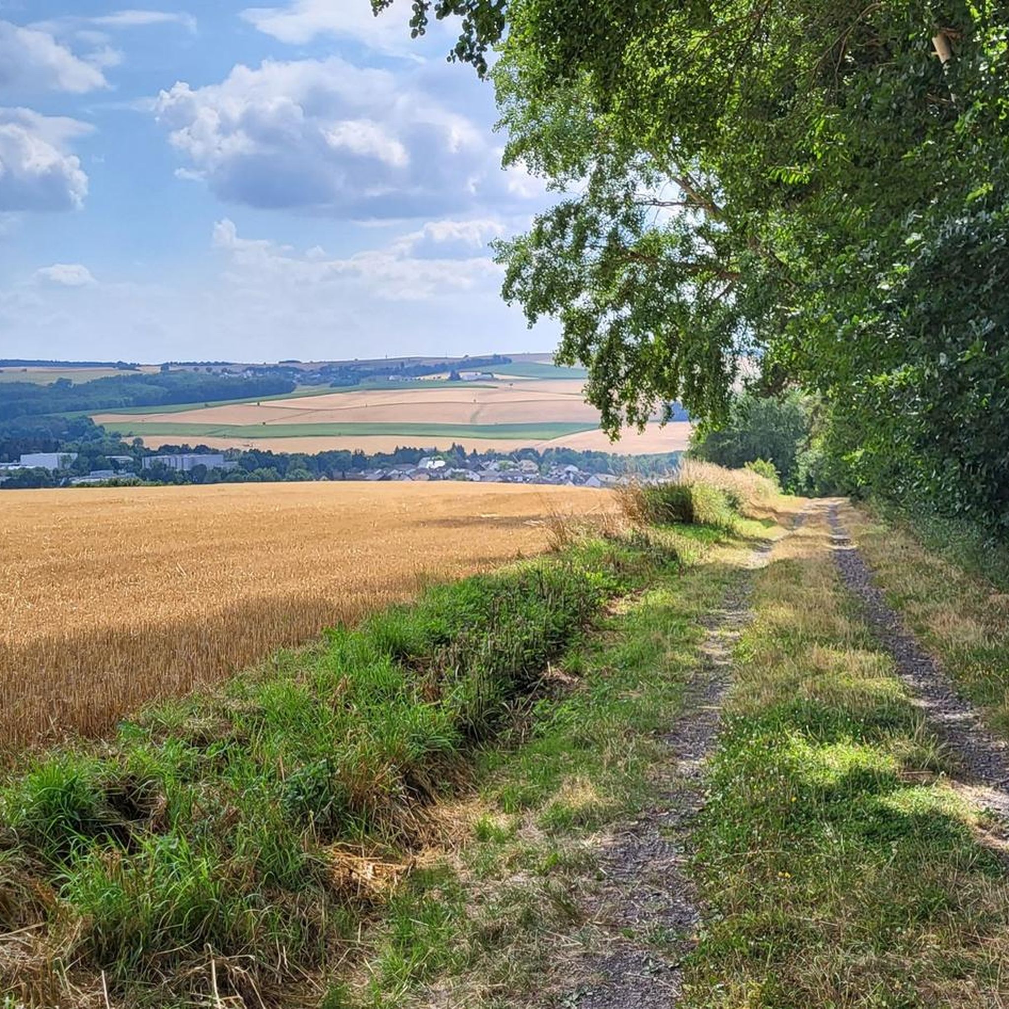
Hiking around Miehlen offers access to varied landscapes within the Taunus region. The area is characterized by rolling hills, dense woodlands, and historical sites, including remnants of the Roman Limes. Numerous streams and small lakes, such as the Hauserbachsee and Miehlener Lake, are integrated into the local trail network. The terrain generally features moderate elevation changes, suitable for a range of hiking abilities.
Best hiking trails around Miehlen
- The most popular hiking route is Limes Fort Pohl – Hauserbachsee loop…
Last updated: October 4, 2026
4.6
(18)
44
hikers
13.6km
03:41
200m
200m
Moderate hike. Good fitness required. Easily-accessible paths. Suitable for all skill levels.
4.4
(5)
19
hikers
11.2km
03:03
170m
170m
Moderate hike. Good fitness required. Easily-accessible paths. Suitable for all skill levels.

5.0
(4)
24
hikers
23.0km
06:19
360m
360m
Hard hike. Very good fitness required. Sure-footedness, sturdy shoes and alpine experience required.
4.7
(6)
20
hikers
9.69km
02:31
60m
70m
Moderate hike. Good fitness required. Easily-accessible paths. Suitable for all skill levels.
5.0
(1)
17
hikers
3.60km
00:56
20m
20m
Easy hike. Great for any fitness level. Easily-accessible paths. Suitable for all skill levels.
Get access to more routes and recommendations from other explorers.
Already have an account?
Our route recommendations are based on thousands of hikes, rides, and runs completed by other people on komoot.
Start today with a free account
Your next adventure awaits.
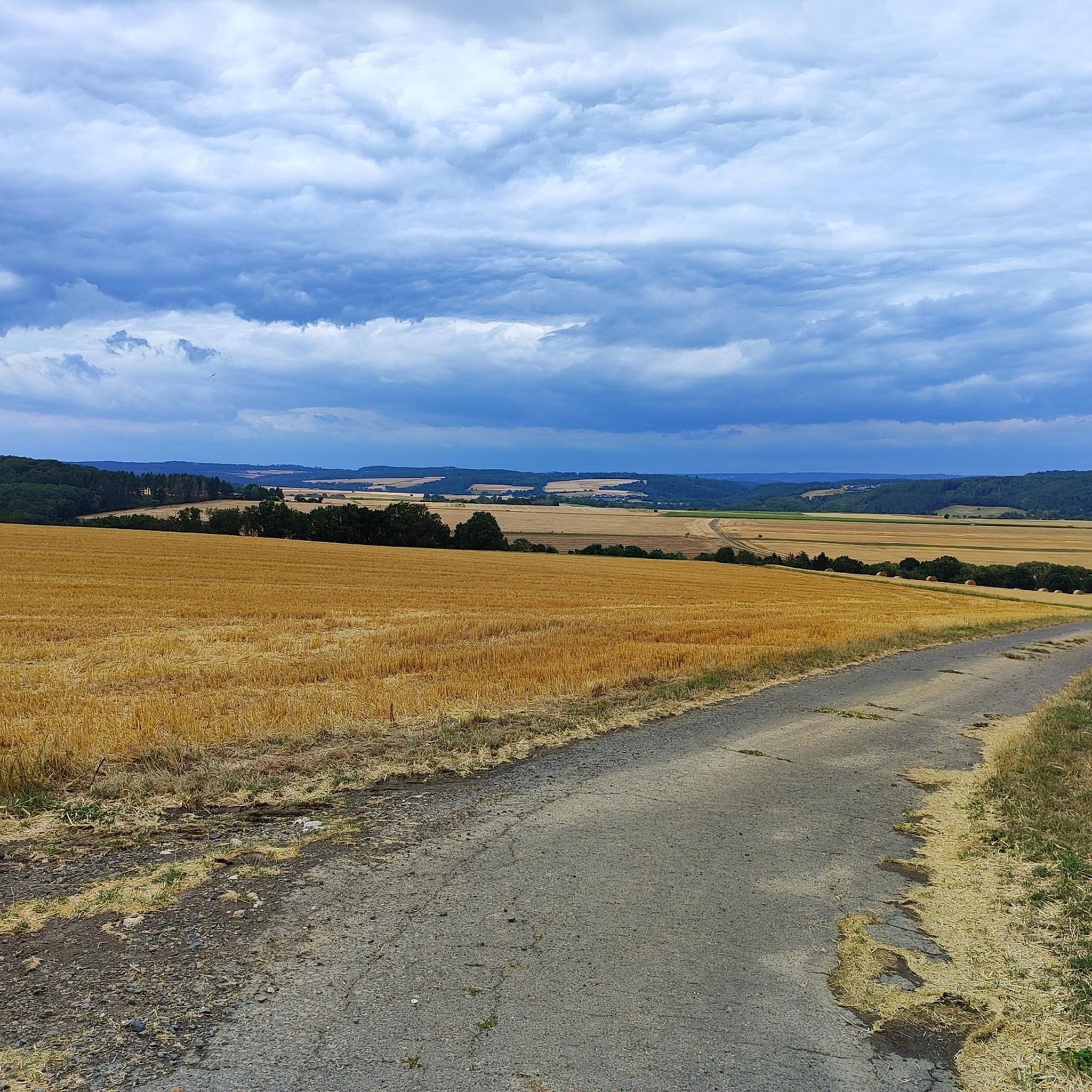
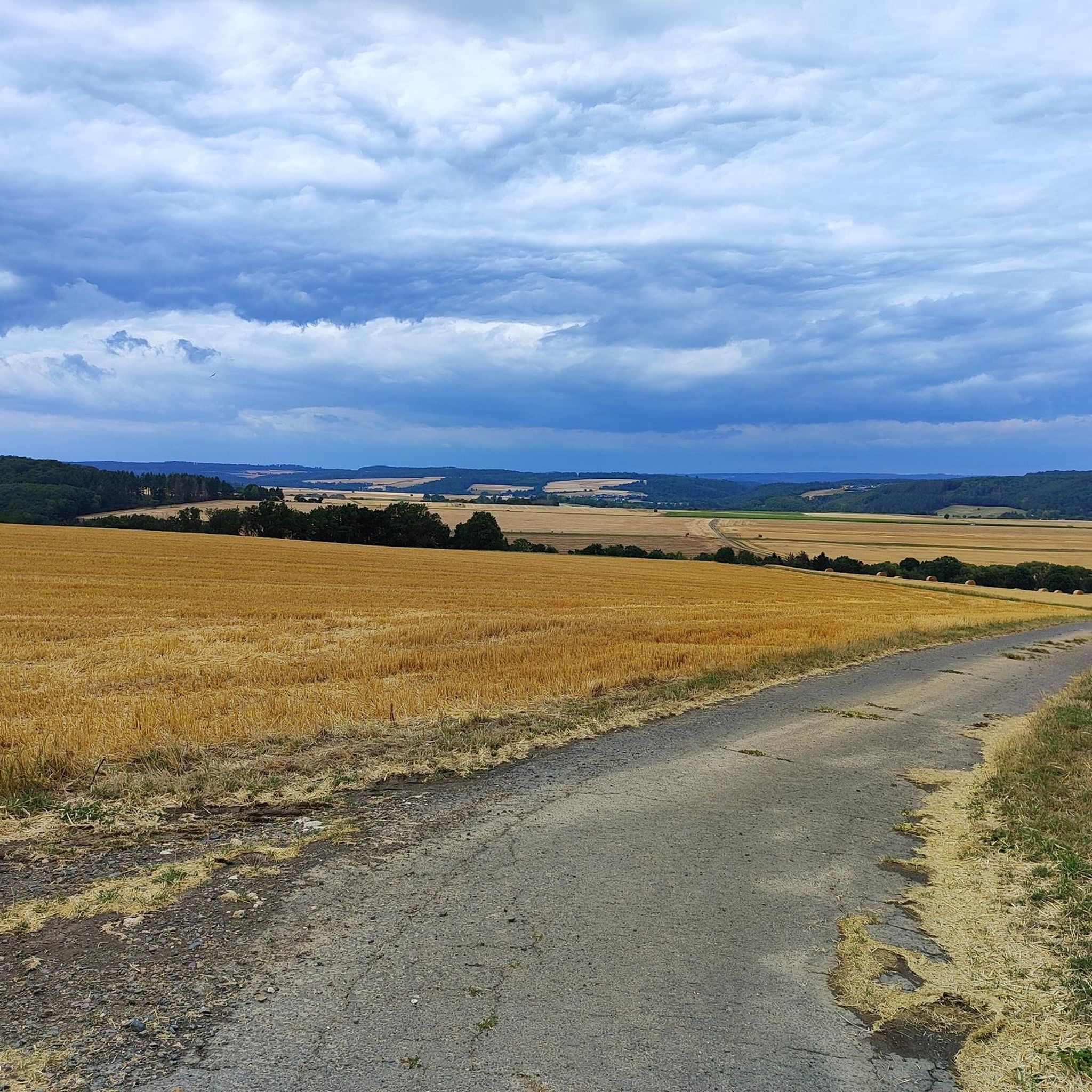
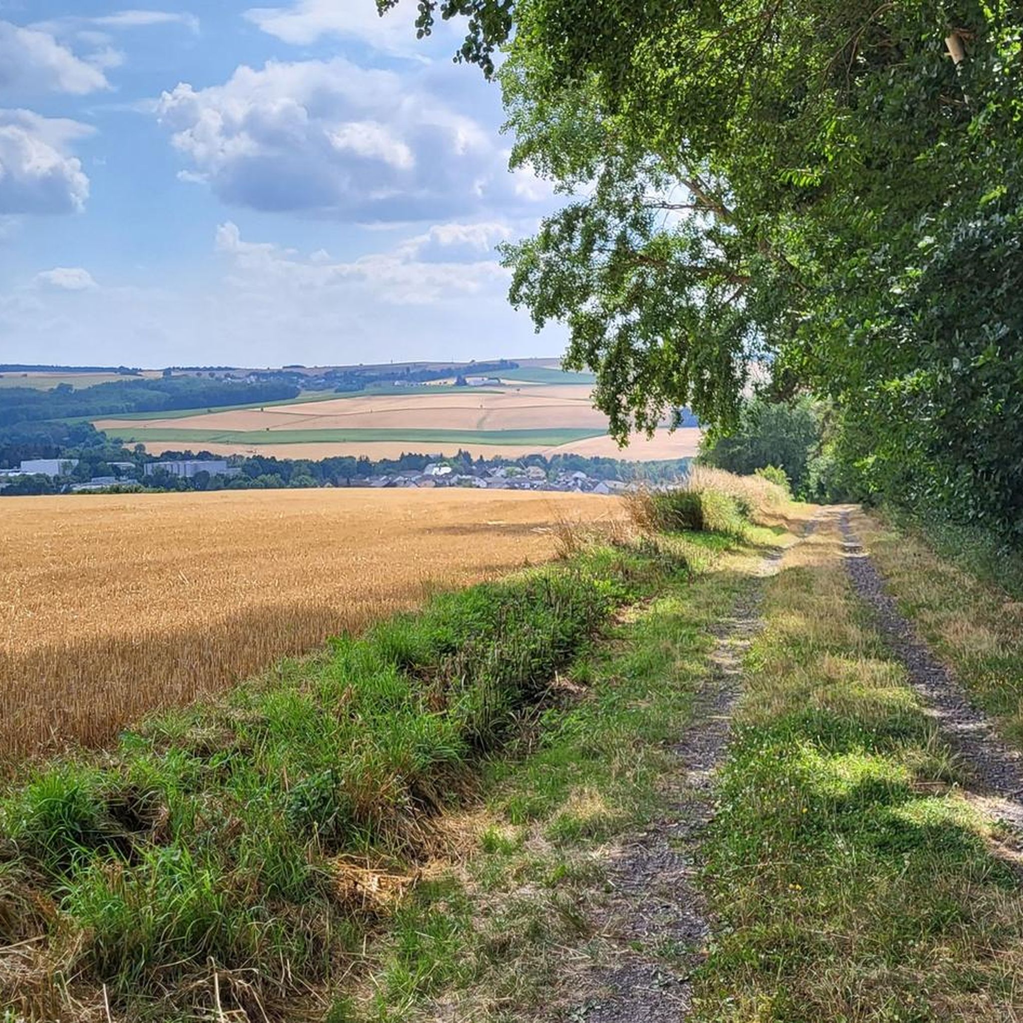
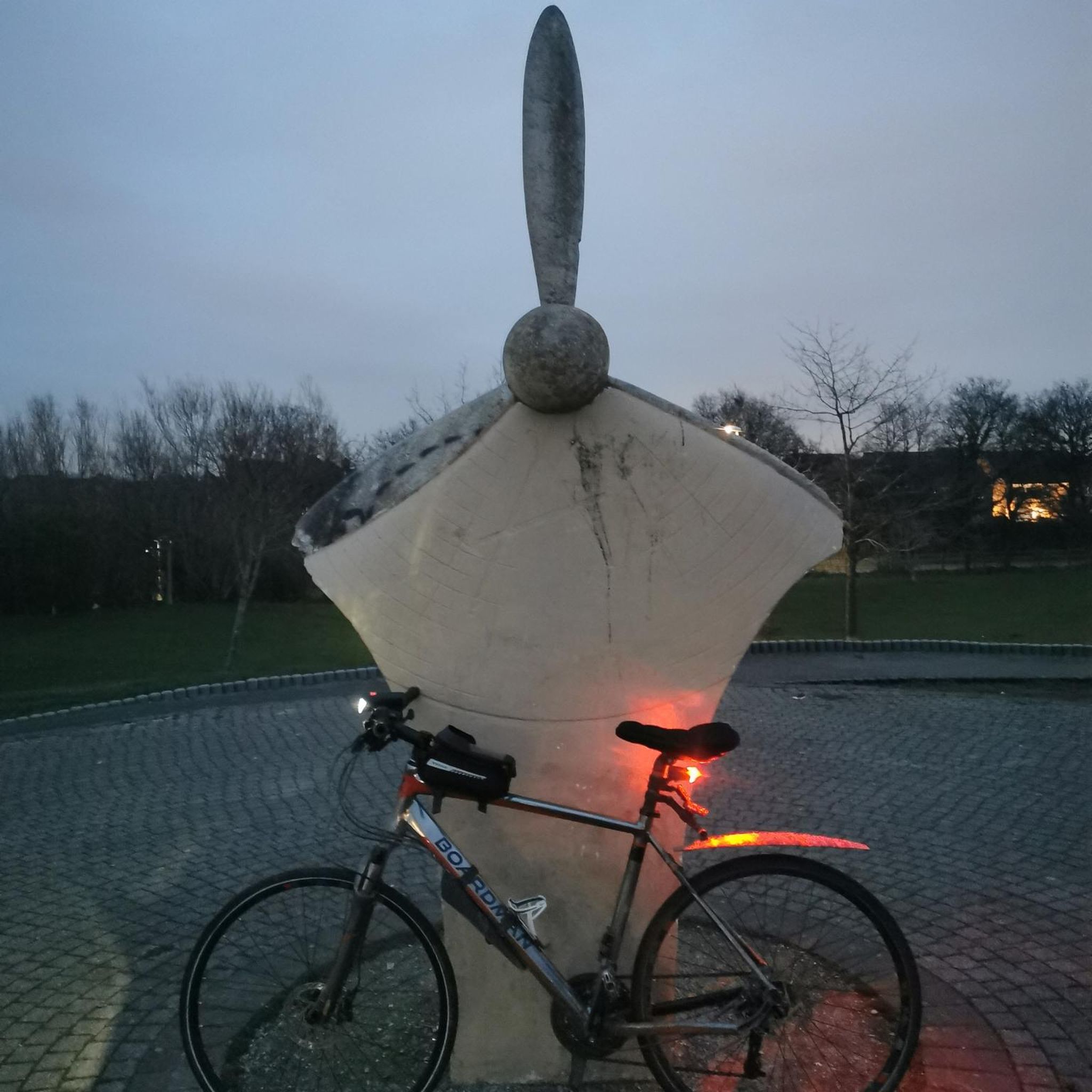
Tips from the Community

The old bridge and the church in the background - a really nice photo motif.
0
0
Very vividly presented how life was like at the Limes wall.
0
0
Here you can also refill your drink bottle.
0
0
A great spot and the view from the shelter is very nice.
0
0
The artificially created water surface has a calming effect. From the shelter, there is a beautiful view over the lake.
0
0

Rock passage in the Mühlbachtal. Short clip filmed with the DJI Neo 2. It finally worked on the 3rd try 😁 https://youtu.be/pKT0AohOr7o
1
0

Whoever rides their bike here for the next 20m needs to know what they are doing. Don't do this if you are alone. It goes far down to the stream
0
0

Beautiful spot on the Mühlbach, which forms a small waterfall here
0
0
Frequently Asked Questions
What kind of terrain and difficulty can I expect on Miehlen's hiking trails?
The hiking trails around Miehlen are primarily characterized by rolling hills, dense woodlands, and paths along streams and small lakes within the Taunus region. The terrain generally features moderate elevation changes, making it suitable for a range of hiking abilities. There are 32 easy routes and 26 moderate routes, with no difficult trails listed, offering accessible options for most hikers.
Are there easy hiking trails suitable for beginners around Miehlen?
Yes, Miehlen offers a good selection of easy hiking trails perfect for beginners or those seeking a relaxed walk. For example, the Limes Fort Pohl – Hauserbachsee loop from Hunzel is an easy 4.3-mile (6.9 km) trail that leads through forested areas and past the historic Limes fort, typically completed in under two hours. Many of these routes also have convenient parking options.
Are there many circular hiking routes available in Miehlen?
Yes, many of the hiking routes around Miehlen are designed as circular loops, allowing you to start and end at the same point without retracing your steps. A popular option is the Limes Fort Pohl – Hauserbachsee loop from Miehlen, a moderate 8.4-mile (13.5 km) trail that combines historical exploration with natural lake scenery.
Can I explore historical sites like the Roman Limes while hiking?
Absolutely. The Miehlen area is rich in history, featuring remnants of the Roman Limes, a UNESCO World Heritage site. Several trails incorporate these historical elements. For instance, the Hauserbachsee – Limes Fort Pohl loop from Miehlen is a moderate 6.9-mile (11.2 km) path that traverses woodlands and passes directly by the Roman fort, offering a blend of nature and history.
Are there any natural attractions like waterfalls or caves to discover?
Yes, the region around Miehlen features several natural attractions. You can find beautiful waterfalls such as the Teufelsdell Waterfall or explore gorges like the 19 Holes Gorge. Additionally, there are interesting cave formations, including the Wild Women’s Cave rock formation and the Hembergers Grube Slate Mine, offering unique sights along your hikes.
What is the typical duration of hikes in the Miehlen area?
Hikes in Miehlen vary in length and duration, catering to different preferences. Many popular routes range from 1.5 to 4 hours. For example, the Hauserbachsee – Miehlener Lake loop from Miehlen is a moderate 4.7-mile (7.5 km) trail that typically takes about 2 hours and 7 minutes to complete, offering a pleasant walk around the local lakes.
Are dogs allowed on the hiking trails around Miehlen?
Generally, dogs are welcome on hiking trails in the Miehlen area, especially in the natural woodland and open field sections. It's always recommended to keep your dog on a leash, particularly in nature reserves, near livestock, or in areas with wildlife. Please be mindful of local signage regarding dog regulations.
What do other hikers say about the trails in Miehlen?
The hiking trails in Miehlen are highly regarded by the komoot community, with an impressive average rating of 4.7 stars from over 170 reviews. Hikers often praise the varied landscapes, the well-maintained paths, and the combination of natural beauty with historical points of interest like the Roman Limes and tranquil lake paths.
Can I access hiking trails in Miehlen using public transport?
While some starting points for hikes in Miehlen might be accessible via local bus services, public transport options can be limited in rural areas of the Taunus. It's advisable to check local bus schedules in advance or consider driving to trailheads, as many routes offer convenient parking facilities.
What is the best time of year to go hiking in Miehlen?
The best time to go hiking in Miehlen is typically from spring through autumn (April to October). During these months, the weather is generally mild and pleasant, with blooming wildflowers in spring, lush greenery in summer, and vibrant foliage in autumn. Winter hiking is also possible, but trails may be muddy or icy, requiring appropriate gear.
Are there any trails that offer a mix of nature and cultural sights?
Yes, many trails in Miehlen offer a rich blend of natural beauty and cultural exploration. For example, the Synagogue Memorial Nastätten loop from Miehlen is a moderate 6-mile (9.6 km) hike that combines scenic paths with a visit to a significant historical memorial, providing a thoughtful and engaging experience.
Most popular attractions around Miehlen

Get inspired with the komoot mobile app


Explore more
Browse the best Hikes in other regions.
