The best walks and hikes around Mézières (FR)
4.4
(283)
2,426
hikers
155
hikes
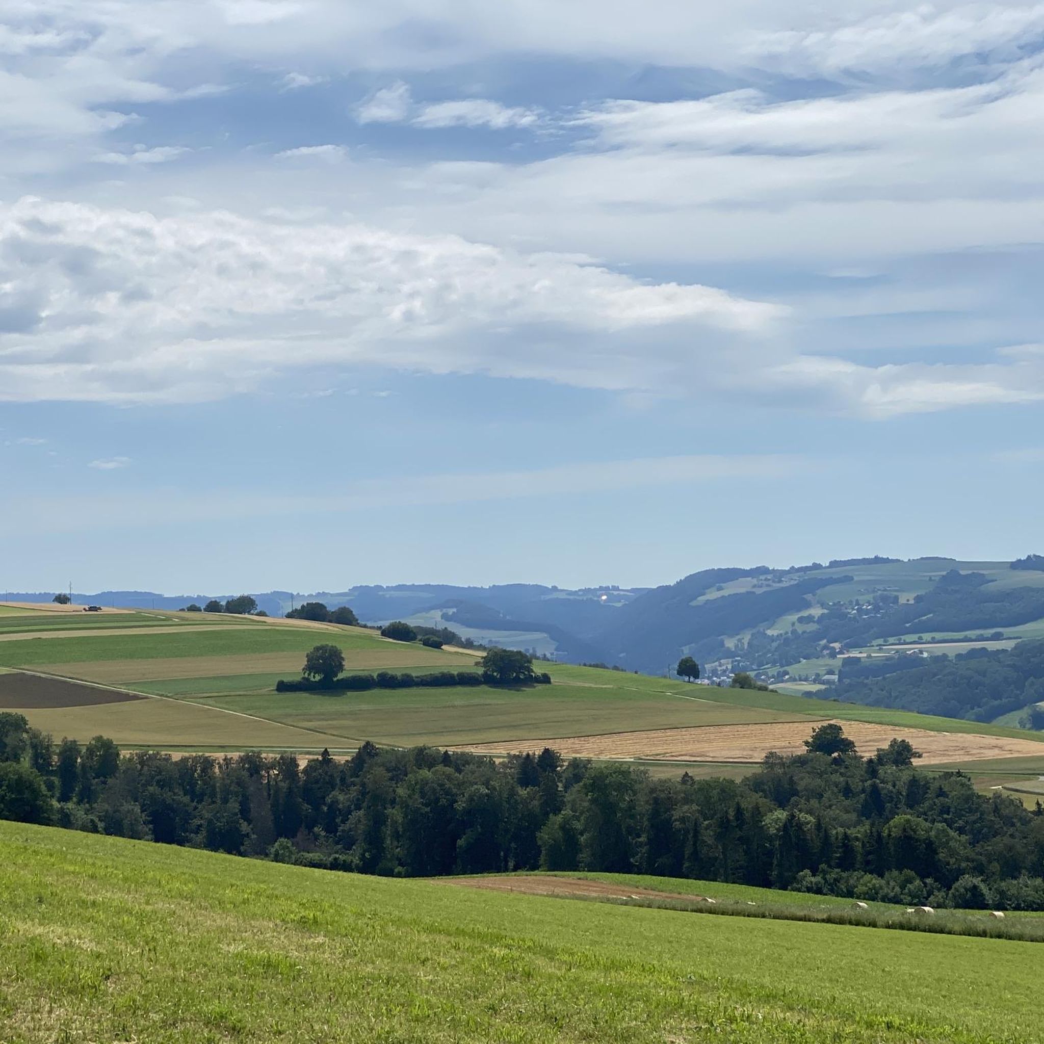
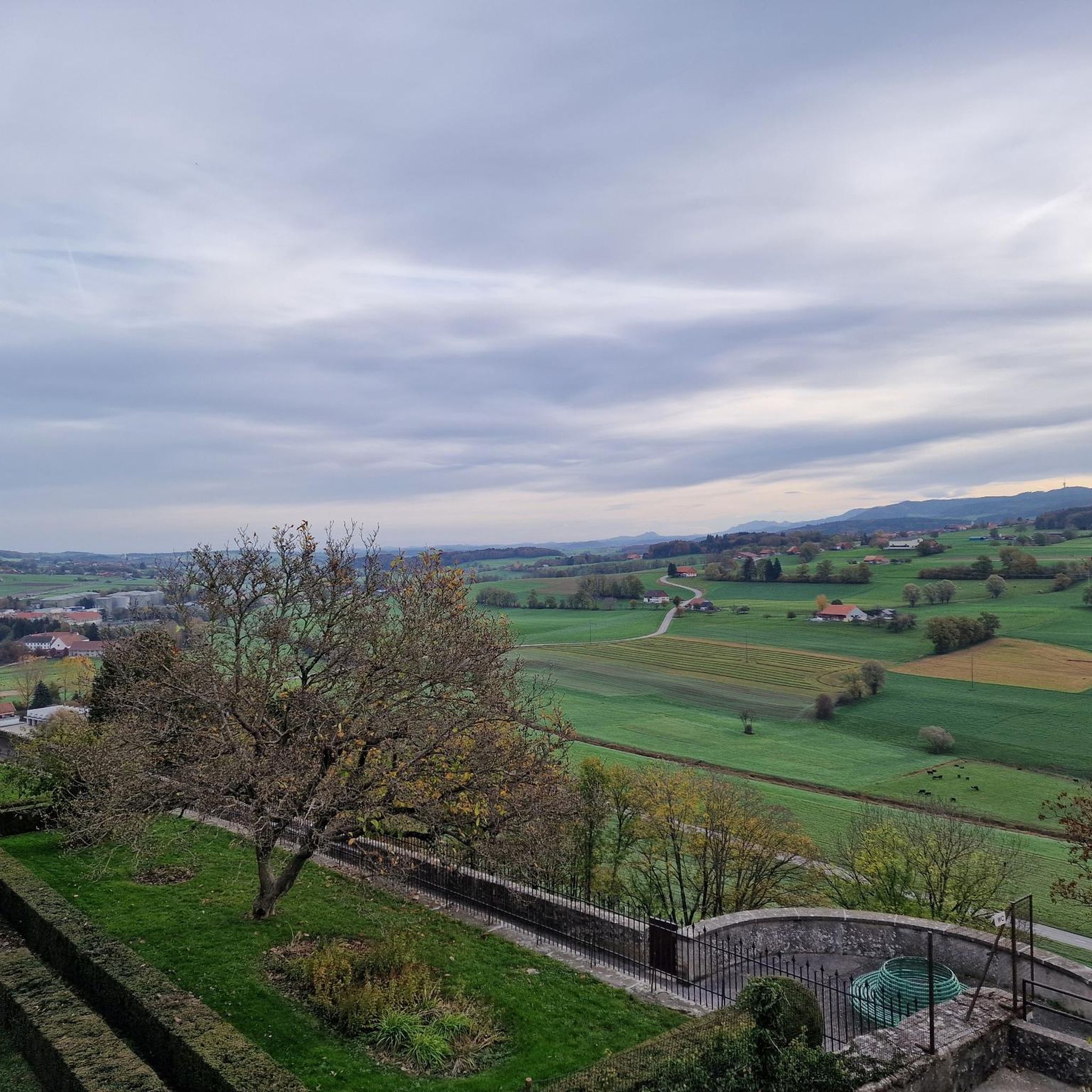
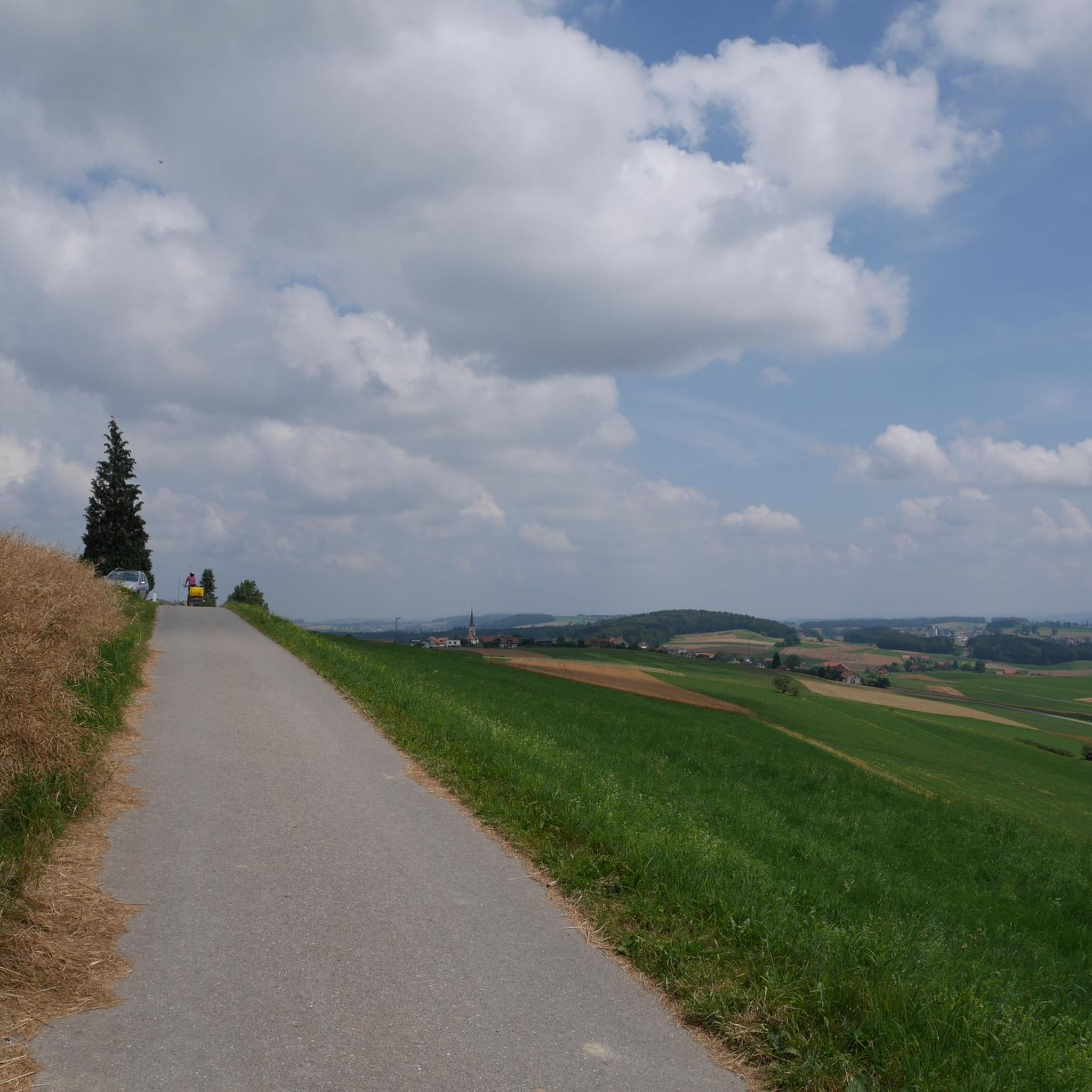
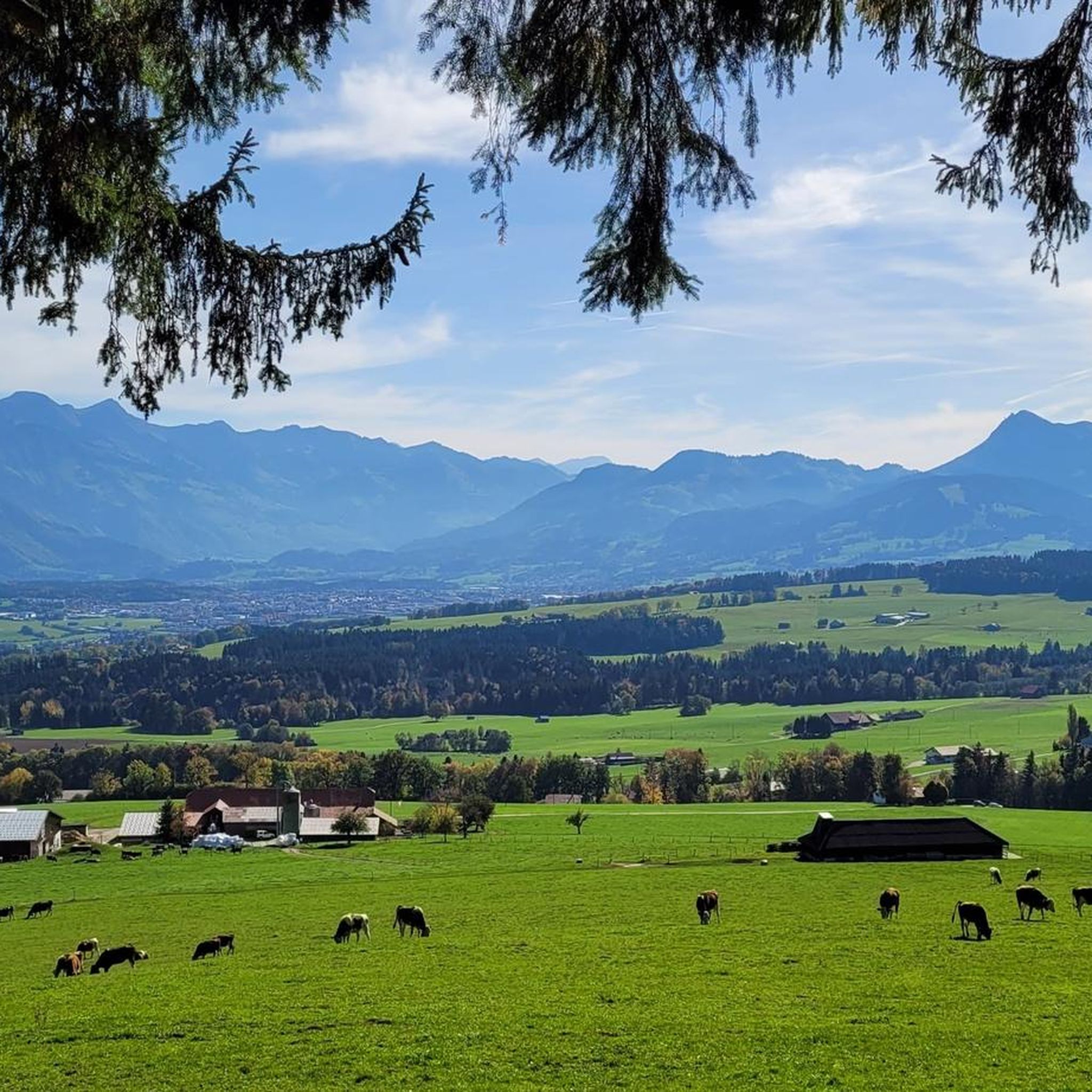
Hiking around Mézières (FR) offers a variety of trails through a landscape characterized by rolling hills, agricultural lands, and scattered woodlands. The region features moderate elevation changes, with routes often connecting charming villages and providing views of the surrounding countryside. Paths typically traverse open fields and forested sections, catering to different hiking preferences.
Best hiking trails around Mézières (FR)
- The most popular hiking route is Romont Old Town – View of Romont loop from Romont, a 6.3 miles (10.2…
Last updated: October 9, 2026
4.0
(4)
17
hikers
10.6km
02:55
170m
180m
Moderate hike. Good fitness required. Easily-accessible paths. Suitable for all skill levels.
4.0
(2)
23
hikers
10.9km
03:08
270m
270m
Moderate hike. Good fitness required. Easily-accessible paths. Suitable for all skill levels.

4.7
(3)
10
hikers
10.9km
03:03
210m
200m
Moderate hike. Good fitness required. Easily-accessible paths. Suitable for all skill levels.
5.0
(4)
5
hikers
19.7km
05:37
450m
450m
Hard hike. Very good fitness required. Easily-accessible paths. Suitable for all skill levels.
4
hikers
8.21km
02:24
220m
220m
Moderate hike. Good fitness required. Easily-accessible paths. Suitable for all skill levels.
Get access to more routes and recommendations from other explorers.
Already have an account?
Our route recommendations are based on thousands of hikes, rides, and runs completed by other people on komoot.
Start today with a free account
Your next adventure awaits.

Tips from the Community

pretty here, very pretty
0
0

Small stone bridge towards the hamlet of Treize-Cantons
0
0

L'abbaye de la Fille-Dieu is a monastery of Cistercian nuns located near the town of Romont in the canton of Fribourg (Switzerland). Founded in the 13th century, the abbey has experienced the vicissitudes of history, but the praise of God and monastic life were never interrupted. At the beginning of the 20th century, it affiliated with the Cistercian Order of the Strict Observance (Trappist).
0
0

A beautiful castle, with free access to the battlements. Inside is the Glass Museum and a café.
0
0
Frequently Asked Questions
How many hiking trails are available around Mézières (FR)?
There are over 150 hiking routes around Mézières (FR) listed on komoot, offering a wide variety of options for different skill levels and preferences. This includes 65 easy, 86 moderate, and 5 difficult trails.
What kind of terrain can I expect on hikes in Mézières (FR)?
The hiking trails around Mézières (FR) are characterized by rolling hills, agricultural lands, and scattered woodlands. You'll often find paths traversing open fields and forested sections, with moderate elevation changes. Routes frequently connect charming villages, providing diverse scenery.
Are there any easy, family-friendly hikes in the Mézières (FR) area?
Yes, Mézières (FR) offers several easy trails suitable for families. A good option is the Hiking loop from Vuisternens-devant-Romont, which is a 1.6-mile (2.5 km) trail leading through village surroundings and gentle countryside, typically completed in about 42 minutes.
What do other hikers enjoy most about the trails in Mézières (FR)?
The hiking routes in Mézières (FR) are highly rated by the komoot community, with an average score of 4.4 stars from over 220 reviews. Hikers often praise the varied terrain, the scenic views of the countryside, and the well-maintained paths that connect charming local villages.
Are there any circular hiking routes around Mézières (FR)?
Yes, many routes in the region are designed as loops. For example, the Romont Old Town – View of Romont loop from Romont is a popular moderate circular trail offering panoramic views and passing through historic areas.
Are there any challenging hikes for experienced hikers in Mézières (FR)?
For those seeking a more challenging experience, Mézières (FR) does offer some difficult routes. The Lovatens Village – Dompierre Village loop from Romont is a difficult 12.3-mile (19.7 km) trail with significant elevation changes, providing a strenuous day hike.
What are some notable natural attractions or viewpoints along the trails?
The region features several beautiful viewpoints and natural attractions. You can find stunning vistas such as View of Lake Gruyère from Avry and Panoramic View of Lake Gruyère. There are also tranquil spots like Étang des Gurles, a peaceful lake.
Is it possible to access hiking trails in Mézières (FR) using public transport?
Mézières (FR) is a well-connected region, and many villages that serve as trailheads are accessible by public transport. It's advisable to check local bus or train schedules for specific starting points of your chosen hike.
Where can I find parking for hiking trails in Mézières (FR)?
Many trailheads in and around Mézières (FR) offer designated parking areas, especially in or near villages. For example, the Parcours VTT Lucens / Cremin – Car Park is a known parking spot that can serve as a starting point for various routes.
What is the best time of year to go hiking in Mézières (FR)?
The region's rolling hills and agricultural landscapes are beautiful throughout the spring, summer, and autumn. Spring brings blooming wildflowers, summer offers warm weather for longer days, and autumn showcases vibrant foliage. Winter hiking is also possible, but trails may be muddy or icy, requiring appropriate gear.
Are there any hikes that pass by lakes or ponds in the Mézières (FR) area?
Yes, several routes offer views of or pass by local water bodies. You can explore trails near Étang des Gurles or the Pond by the Broye, providing serene natural settings during your hike.
Are there any hikes with historical or cultural landmarks in Mézières (FR)?
Many trails in the region connect charming villages and pass through historic areas. The Romont – La Tour à Boyer loop from Romont, for instance, features varied terrain and local landmarks, offering a blend of nature and cultural interest.
Most popular routes around Mézières (FR)
Most popular attractions around Mézières (FR)

Get inspired with the komoot mobile app


Explore more
Browse the best Hikes in other regions.
