The best hikes from bus stations around gmina Głuszyca
4.7
(1581)
24,868
hikers
13
hikes
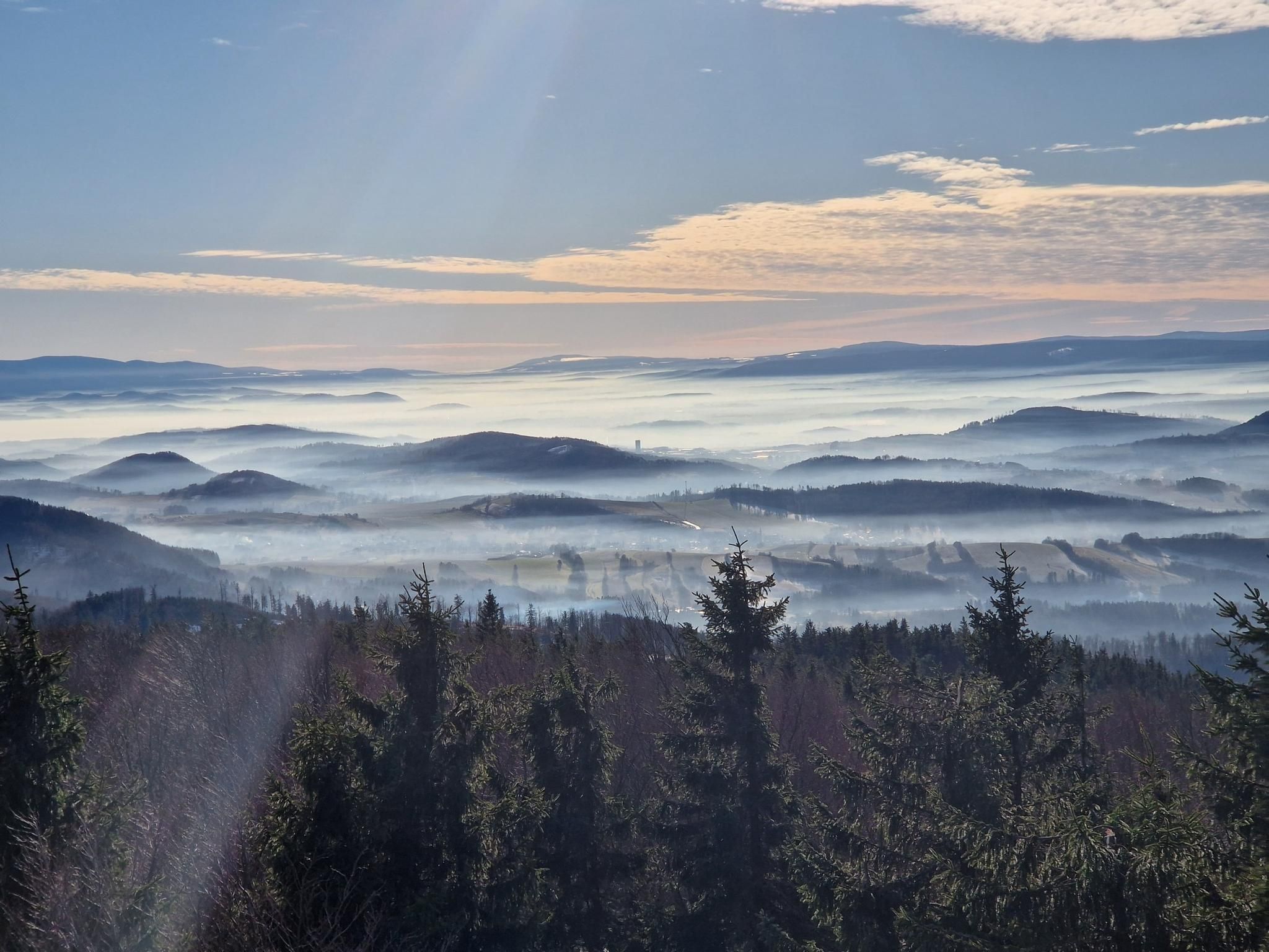
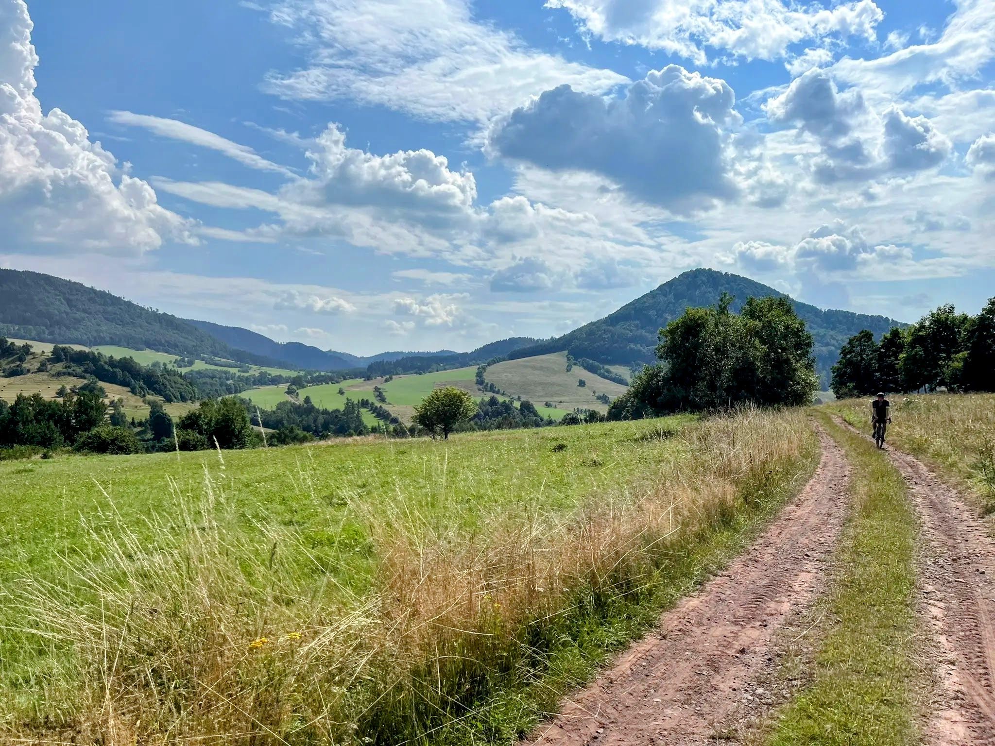
Bus station hiking trails around gmina Głuszyca are situated within the central Sudetes, characterized by the Dry Mountains and the Owl Mountains Landscape Park. The region features a diverse mountainous landscape with significant natural features, including Waligóra Peak, which is the highest point in the Dry Mountains. Hikers can find varied terrain, from dense forests and rocky outcrops to unique geological formations. The area offers a network of trails suitable for exploring its natural and historical attractions.
Best bus station…
Last updated: November 9, 2026
4.8
(10)
71
hikers
18.5km
05:34
580m
580m
Hard hike. Very good fitness required. Easily walkable paths.
29
hikers
23.6km
07:42
970m
970m
Hard hike. Very good fitness required. Sure-footedness, sturdy shoes and alpine experience required.

5.0
(3)
31
hikers
11.8km
03:27
330m
330m
Moderate hike. Good fitness required. Easily walkable paths.
26
hikers
Hard hike. Very good fitness required. Easily walkable paths.
4.0
(1)
15
hikers
Moderate hike. Good fitness required. Easily walkable paths.
Get access to more routes and recommendations from other explorers.
Already have an account?
Our route recommendations are based on thousands of hikes, rides, and runs completed by other people on komoot.
Start today with a free account
Your next adventure awaits.
Popular around gmina Głuszyca


Tips from the Community

A short, very steep trail in the Kamienny Mountains, leading to the summit and viewing platform of Gomólnik Mały.
0
0


The trail is well marked. Many steep strenuous ascents and descents. The tour is not recommended in rainy weather
0
0

This object makes an impression. Attention, it is cold and wet inside.
2
0

A tribute to a remarkable figure: a local manufacturer, enthusiast, and popularizer of the Owl Mountains. He built, among other things, the Sowa mountain hut and the observation tower at the summit of Wielka Sowa. A man on a mission, respect!
0
0


Another great place in the Dry Mountains in the Sudetes. The magnificent ruins of a 13th-century castle on Rogowiec Hill, rising 870 meters above sea level. This castle, along with the fortresses of Radosno, Grodno, and Nowy Dwór, was one of the defensive castles on the Czech border. The views from above are incredible (those sunsets, you know why you live). Lean against the walls and admire the view.
1
0
Frequently Asked Questions
How many bus station hiking trails are available in gmina Głuszyca?
There are 12 hiking trails accessible directly from bus stations in gmina Głuszyca. These routes offer a convenient way to explore the diverse landscapes of the Dry Mountains and the Owl Mountains Landscape Park without needing a car.
What types of terrain and difficulty can I expect on bus-accessible hikes in gmina Głuszyca?
The trails in gmina Głuszyca accessible by bus range from moderate to difficult. You'll encounter varied terrain, including forest paths, rocky sections, and ascents to peaks like Waligóra. The region is characterized by the picturesque Dry Mountains, offering a good challenge for hikers. There are 10 moderate routes and 2 difficult routes available.
Are there any family-friendly hiking options from bus stations in gmina Głuszyca?
While most routes are moderate to difficult, some moderate trails can be suitable for families with older children or those accustomed to hiking. For example, the Shelter Andrzejówka – Złota Woda Stream loop from gmina Głuszyca is a moderate 11.7 km route that offers beautiful scenery without extreme elevation changes, making it a good option for a longer family outing.
Can I find circular hiking routes starting from bus stations in gmina Głuszyca?
Yes, many of the bus-accessible routes in gmina Głuszyca are circular, allowing you to start and end your hike at the same point, often near a bus stop. An example is the Gomulnik Mały Viewing Platform – Ruins of Rogowiec Castle loop from gmina Głuszyca, which offers historical sights and panoramic views on a moderate 9.2 km loop.
What historical landmarks or natural features can I see on these bus-accessible trails?
Gmina Głuszyca's bus-accessible trails are rich in both natural beauty and historical sites. You can explore the ruins of the 13th-century Ruins of Rogowiec Castle, discover unique geological formations like the 'Rock Gates' on the slopes of Rogowiec, or visit the scenic Kamyki Quarry in Głuszyca, which resembles a mountain lake. Some routes also pass by the Grodno Castle in the wider region.
Are there any mountain huts or places to rest along the bus station hiking routes?
Yes, the region features Schronisko Andrzejówka, a well-known mountain hut located on the Three Valleys Pass beneath Waligóra. It serves as an excellent base and junction for many trails, offering accommodation, a buffet, and a bar. Several routes, such as the Shelter Andrzejówka – Waligóra Peak loop from gmina Głuszyca, start or pass by this convenient spot.
What do other hikers say about the bus-accessible trails in gmina Głuszyca?
The bus-accessible trails in gmina Głuszyca are highly rated by the komoot community, with an average score of 4.77 stars from over 1200 ratings. Hikers often praise the diverse mountainous landscape, the well-marked trails, and the opportunity to combine natural exploration with historical discoveries.
Are there any trails that lead to significant viewpoints or peaks from a bus station?
Absolutely. Many trails offer stunning panoramic views. The Shelter Andrzejówka – Waligóra Peak loop from gmina Głuszyca, for instance, takes you to Waligóra Peak, the highest point in the Dry Mountains, rewarding you with remarkable vistas. Another challenging route, the Carl Wiesen Monument – Chapel on Wielka Sowa loop from gmina Głuszyca, offers access to the wider region's majestic Mount Wielka Sowa, known for its extensive views.
Can I visit any underground attractions or unique sites via bus-accessible hikes?
Yes, you can explore unique historical sites. The Soboń Complex Bunkers – Osówka Underground City loop from gmina Głuszyca is a moderate 14.2 km route that allows you to discover the Soboń Complex Bunkers and the Osówka Underground City, offering a fascinating glimpse into the region's wartime history.
What is the best time of year to hike the bus-accessible trails in gmina Głuszyca?
Gmina Głuszyca offers great hiking opportunities throughout the year. Spring and autumn provide pleasant temperatures and vibrant foliage, while summer is ideal for longer days and exploring higher elevations. Winter hiking is also possible, especially in the Owl Mountains Landscape Park, but requires appropriate gear and caution due to snow and ice conditions.
Are there any lakes or water features accessible on these trails?
While the region is mountainous, some trails offer views or access to water features. The Kamyki Quarry in Głuszyca, now resembling a mountain lake, is a notable natural attraction. Additionally, the wider area features Bystrzyckie Lake and the hydroelectric dam in Zagorze Śląskie, which can be seen from some routes or are accessible nearby.
Most popular routes around gmina Głuszyca
Most popular attractions around gmina Głuszyca

Get inspired with the komoot mobile app


Explore more
Browse the best Hikes in other regions.
