The best walks and hikes around Mettmenstetten
4.5
(18)
276
hikers
44
hikes
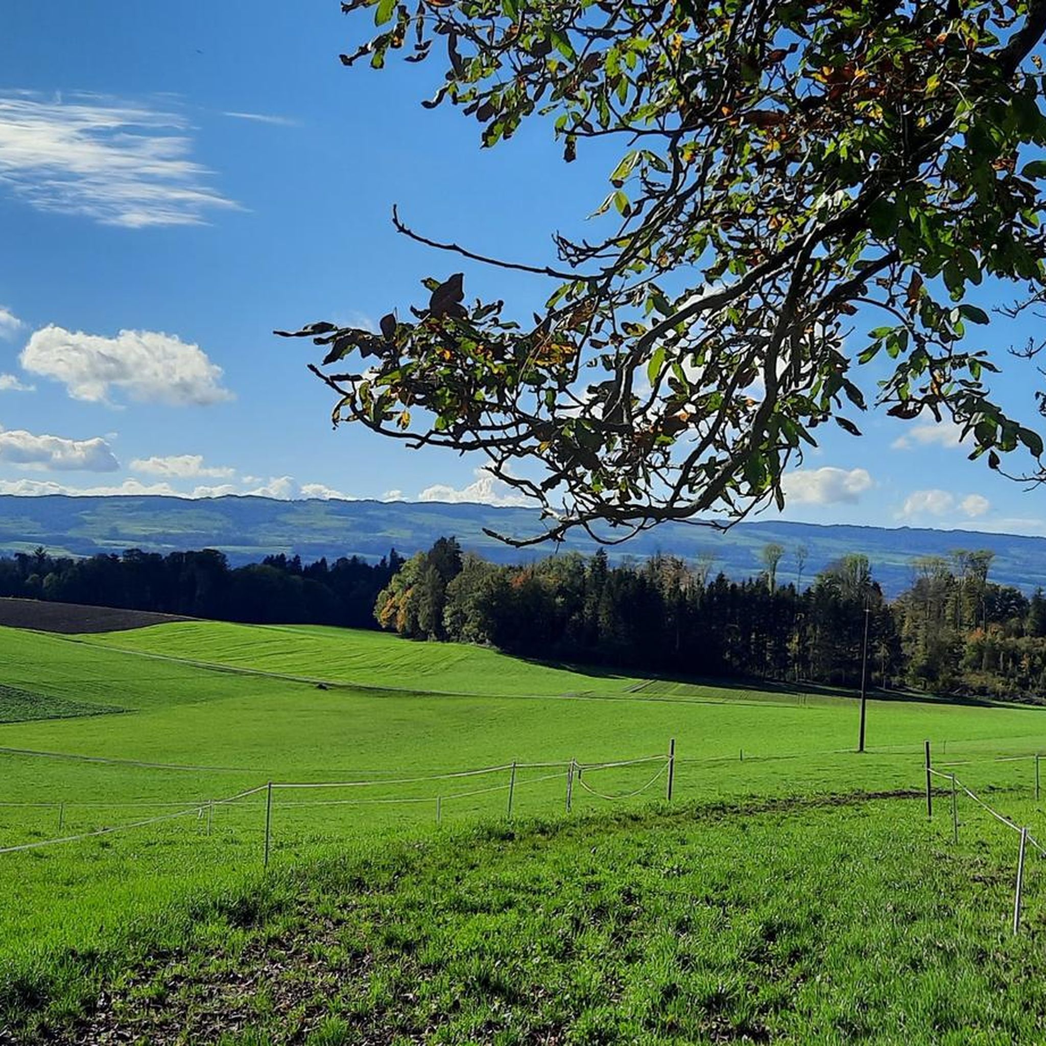
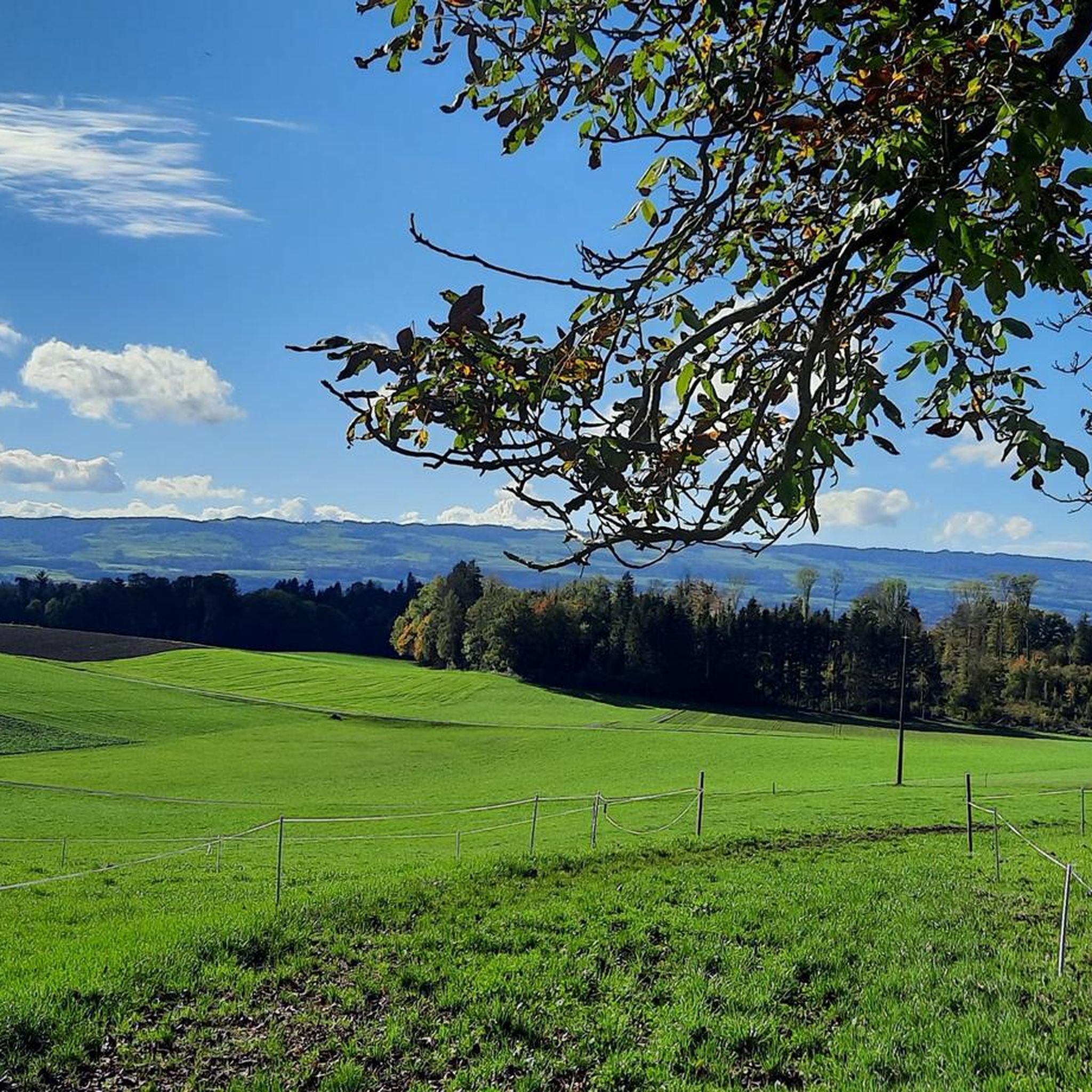
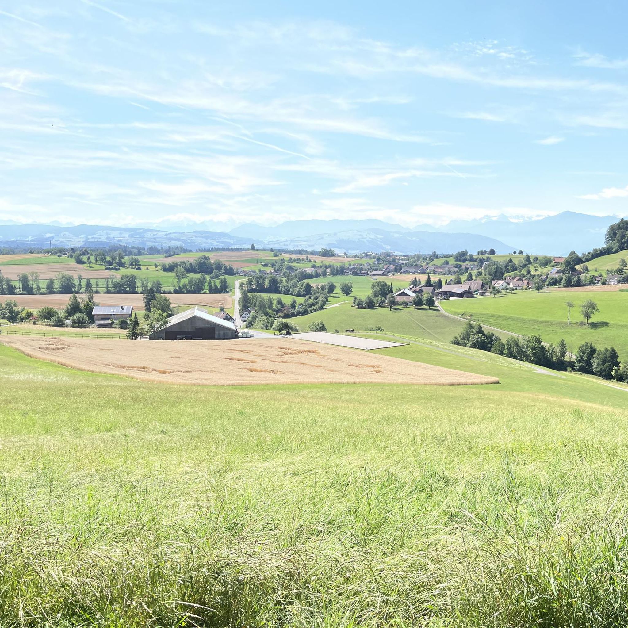
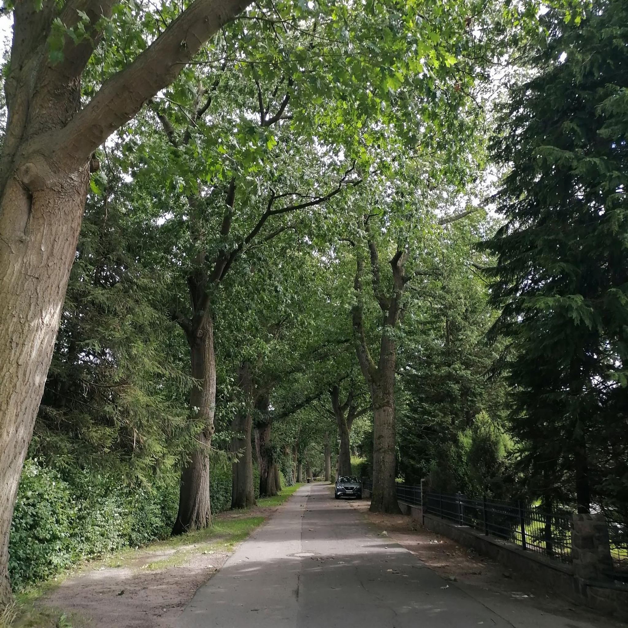
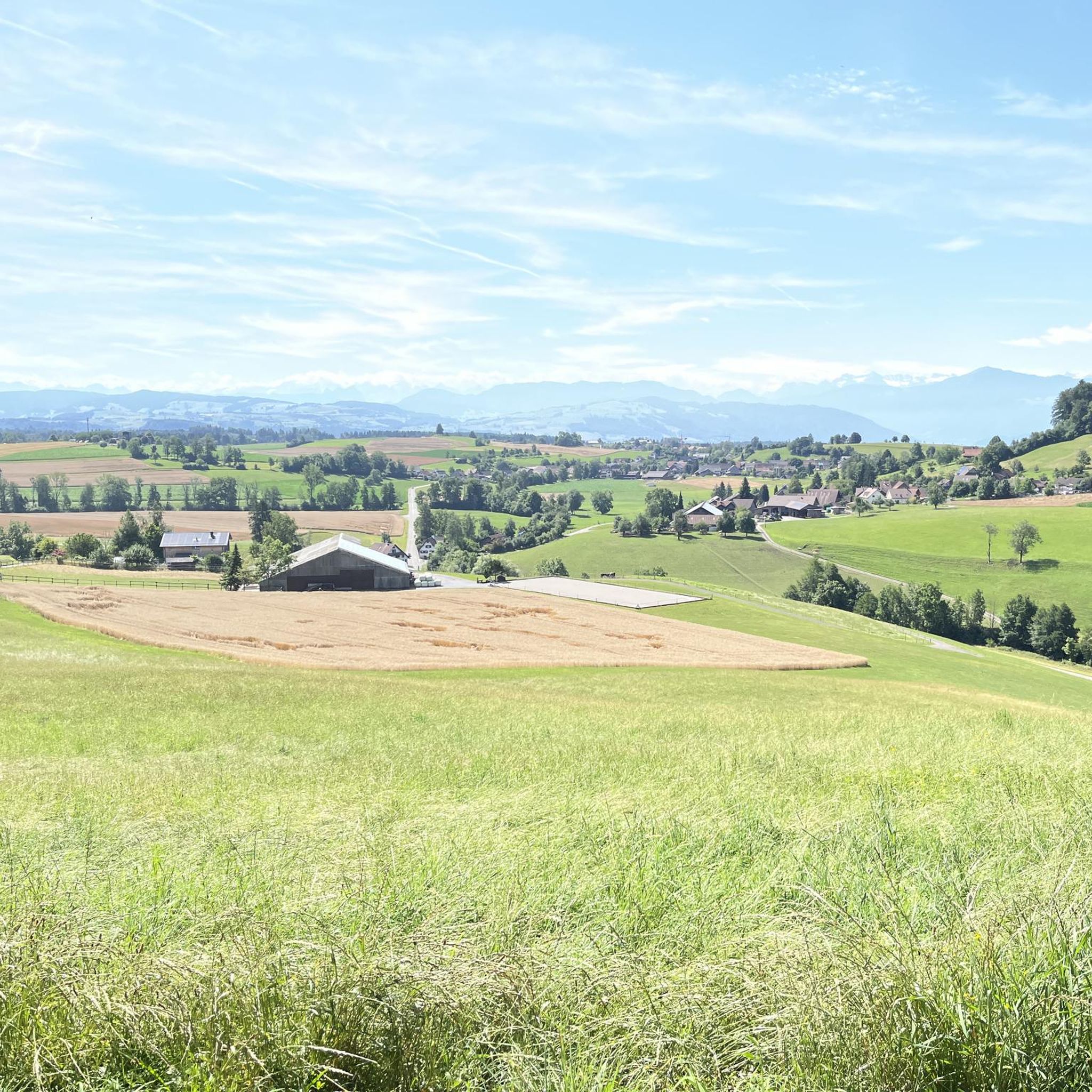
Hiking around Mettmenstetten offers diverse landscapes in the canton of Zurich, Switzerland. The region features rolling hills, forests, and proximity to scenic Lake Türlersee. Elevated points provide views of Lake Zug and the distant Swiss Alps, creating varied terrain for outdoor exploration.
Best hiking trails around Mettmenstetten
- The most popular hiking route is View of Lake Türlersee – Türlersee loop from Mettmenstetten, a 9.7 miles (15.6 km) trail that takes 4 hours 38 minutes to complete. This moderate route…
Last updated: September 30, 2026
4.4
(7)
35
hikers
15.5km
04:36
460m
460m
Moderate hike. Good fitness required. Easily-accessible paths. Suitable for all skill levels.
4.3
(3)
16
hikers
Moderate hike. Good fitness required. Easily-accessible paths. Suitable for all skill levels.

17
hikers
7.24km
01:54
60m
60m
Easy hike. Great for any fitness level. Easily-accessible paths. Suitable for all skill levels.
5.0
(1)
11
hikers
5.75km
01:31
60m
60m
Easy hike. Great for any fitness level. Easily-accessible paths. Suitable for all skill levels.
5.0
(1)
13
hikers
6.87km
01:50
70m
70m
Easy hike. Great for any fitness level. Easily-accessible paths. Suitable for all skill levels.
Get access to more routes and recommendations from other explorers.
Already have an account?
Our route recommendations are based on thousands of hikes, rides, and runs completed by other people on komoot.
Start today with a free account
Your next adventure awaits.

Tips from the Community

Numerous barbecue areas, benches, and jetties leading out into the lake invite you to linger and observe nature. Thanks to the many shady sections, Türlersee is also a worthwhile destination on hot days.
0
0

You are not allowed to swim here. The wooden pier is for fishing purpose only.
0
0

take a break and rest
0
0

In good weather, it is advisable to come by bike. The surrounding parking areas are also quickly filled at peak times.
2
0

The Türlersee is always worth a hike!
2
0

The Kurhaus Paradies used to be here. Einstein was here three times when he was studying in Zurich. From here you have a fantastic view of the Knonauer Amt, Lake Zug and the Alps.
4
0

Here the view extends to the Alps and Lake Zug
0
0

Frequently Asked Questions
How many hiking trails are available around Mettmenstetten?
Mettmenstetten offers a wide selection of outdoor adventures, with over 40 hiking routes available. These trails cater to various preferences, from leisurely strolls to more challenging excursions.
What kind of terrain can I expect on hikes near Mettmenstetten?
The terrain around Mettmenstetten is quite varied, featuring rolling hills, dense forests, and scenic lake views. You can expect paths that wind through picturesque landscapes, often providing glimpses of Lake Türlersee and distant panoramic vistas of Lake Zug and the majestic Swiss Alps from elevated points.
Are there easy hiking trails suitable for beginners or families in Mettmenstetten?
Yes, Mettmenstetten is very welcoming for beginners and families. Approximately 30 of the available routes are rated as easy. For instance, the Rossmatten Oak – Alfi Schmitte loop from Mettmenstetten is an easy 2.8-mile (4.6 km) trail that takes about an hour and 12 minutes, leading through pleasant forested areas.
Are there any circular hiking routes around Mettmenstetten?
Many of the trails around Mettmenstetten are designed as circular routes, allowing you to start and end in the same location. A popular option is the View of Lake Türlersee – Türlersee loop from Mettmenstetten, a moderate 9.7-mile (15.6 km) trail that offers continuous views of the lake.
What are some notable viewpoints or landmarks I can see while hiking in Mettmenstetten?
Hikers can enjoy several impressive viewpoints and natural landmarks. Elevated points like the Gallows Field offer panoramic views of Lake Zug and the Swiss Alps. The scenic Lake Türlersee itself is a major attraction. Additionally, you might explore natural features like the Höllgrotten Caves or the Natural Tunnels Along the Sihl, which are nearby attractions.
What do other hikers enjoy the most about hiking in Mettmenstetten?
The komoot community highly rates the hiking experience in Mettmenstetten, with an average score of 4.2 stars from over 10 reviews. Hikers often praise the diverse landscapes, the continuous views of Lake Türlersee, and the panoramic vistas of Lake Zug and the Alps from trails like the View of the Alps and Lake Zug – Gallows Field with Pond loop from Mettmenstetten.
Are there any dog-friendly hiking trails in Mettmenstetten?
Many trails in Mettmenstetten are suitable for hiking with dogs, offering varied terrain and natural surroundings. It's always recommended to keep dogs on a leash, especially in forested areas or near livestock, and to check local regulations for specific routes. The region's extensive network of paths through forests and along lakesides provides plenty of options for you and your canine companion.
Are there places to eat or rest along the hiking trails?
While specific cafes directly on every trail might be limited, the region does offer options for refreshments. You can find places like the Limi-Hütte or the Alpwirtschaft Brunegg, which are huts and cabins in the broader area that can serve as good resting points or places to grab a bite.
What is the best time of year to go hiking in Mettmenstetten?
Mettmenstetten offers enjoyable hiking experiences throughout much of the year. Spring and autumn provide pleasant temperatures and vibrant scenery, while summer is ideal for longer days and warmer weather. Even in winter, some trails are suitable for snowshoeing or winter walks, though conditions can vary. Always check local weather forecasts before heading out.
Are there any moderate hikes for those looking for a bit more challenge?
Yes, Mettmenstetten has several moderate hikes for those seeking a greater challenge. The Dream Path – Forest Trail – Rossmatten Oak loop from Mettmenstetten is a moderate 4.7-mile (7.6 km) route that takes about 2 hours to complete, offering a good balance of distance and elevation gain through varied landscapes.
Is there parking available at the trailheads in Mettmenstetten?
Parking is generally available at various starting points for hikes around Mettmenstetten. While specific parking details can vary by trailhead, many popular routes are accessible by car with designated parking areas nearby. It's advisable to check the route details on komoot for specific parking information for your chosen trail.
Most popular routes around Mettmenstetten
Most popular attractions around Mettmenstetten

Get inspired with the komoot mobile app


Explore more
Browse the best Hikes in other regions.
