The best family-friendly hikes and walks in Presidential Range-Dry River Wilderness
4.5
(248)
4,755
hikers
84
hikes
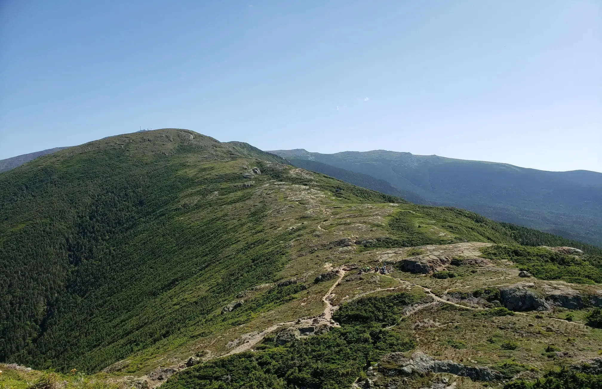
Family friendly hiking trails in Presidential Range-Dry River Wilderness traverse a rugged landscape characterized by majestic mountain peaks, extensive ridgelines, and diverse ecosystems. The region features dense spruce-fir and northern hardwood forests, as well as the most expansive area of alpine tundra east of the Mississippi River. The Dry River carves a path through the wilderness, fed by numerous tributary streams, and Oakes Gulf, a large glacial cirque, marks its headwaters. This area offers a variety of terrain, from river…
Last updated: October 13, 2026
4.3
(3)
63
hikers
20.3km
07:53
970m
1,090m
Hard hike. Very good fitness required. Mostly accessible paths. Sure-footedness required.
10
hikers
12.4km
05:56
810m
940m
Hard hike. Very good fitness required. Mostly accessible paths. Sure-footedness required.

7
hikers
13.9km
05:49
1,130m
1,120m
Hard hike. Very good fitness required. Easily-accessible paths. Suitable for all skill levels.
4
hikers
20.7km
10:17
1,510m
1,660m
Hard hike. Very good fitness required. Mostly accessible paths. Sure-footedness required.
4.82km
02:32
970m
0m
Hard hike. Very good fitness required. Easily-accessible paths. Suitable for all skill levels.
Get access to more routes and recommendations from other explorers.
Already have an account?
Our route recommendations are based on thousands of hikes, rides, and runs completed by other people on komoot.
Start today with a free account
Your next adventure awaits.
Popular around Presidential Range-Dry River Wilderness
Other adventures in Presidential Range-Dry River Wilderness

Tips from the Community

Mount Pierce stands at 4,310 feet and is toward the southern end of the Presidential Range. From its summit, you get sweeping views north toward Mount Eisenhower and Mount Washington from a mix of alpine scrub and rocky ledges. Named after Franklin Pierce, the only U.S. president from New Hampshire, it’s a must stop if tagging all the peaks along on the Presidential Traverse, or those looking for a challenging day hike.
1
0

Okay, so Zeta Pass isn't exactly spilling over in spectacular views. But it's a junction between the Appalachian Trail and the Carter Dome Trail, opening the door to some great views. It also offers access to/from the Nineteen Mile Brook Trailhead, which is a bit more than 7 miles away from this spot.
0
0

Nestled in the White Mountain National Forest, the Mizpah Spring Hut is a cozy stop for hikers exploring the Presidential Range. Offering bunk accommodations, hearty meals, and potable water, it’s a great place to rest and recharge while enjoying breathtaking views of the surrounding mountains. Whether you're tackling a challenging trail or looking for a serene overnight retreat, this Appalachian Mountain Club hut is a memorable part of any White Mountains adventure.
0
0

Middle Carter Mountain is a peak within the Carter-Moriah Range of the White Mountains that tops out at over 4,600 feet in elevation.
0
0
South Carter Mountain is a peak within the Carter-Moriah Range of the White Mountains that tops out at 4,420 feet in elevation.
0
0

Glen Ellis Falls is a super popular 64-foot waterfall at the end of a short path. The trail is pretty rocky and features steps and bridges to wind its way to the base of the falls. This isn't a great trail for fast running, but it's cool to be able to jog to the falls. Be aware that with how popular this trail is, you'll likely have to dodge people for a decent portion of the run.
0
0
Wildcat Mountain (Wildcat A) is the tallest and easternmost peak in the Wildcat group. There are actually several sub peaks (west to east: Wildcat E, D, C and B; the two that count on the New Hampshire 4000 footer list are Wildcat A and Wildcat D) leading up to the main Wildcat as you climb the long ridge line up from Pinkham Notch past the ski area. Because of this, Wildcat Mountain is a challenging, but rewarding peak to get to!
0
0
There is a small backcountry hut here (Carter Notch Hut) near these two small ponds. You can actually catch a view of Carter Dome from down here.
0
0
Frequently Asked Questions
How many family-friendly hiking trails are available in Presidential Range-Dry River Wilderness?
There are over 90 family-friendly hiking routes in the Presidential Range-Dry River Wilderness, offering a wide range of experiences from easy strolls to more challenging adventures suitable for families with older children. You'll find a good selection of trails to explore, with 16 easy and 37 moderate options.
What is the best time of year for family hiking in the Presidential Range-Dry River Wilderness?
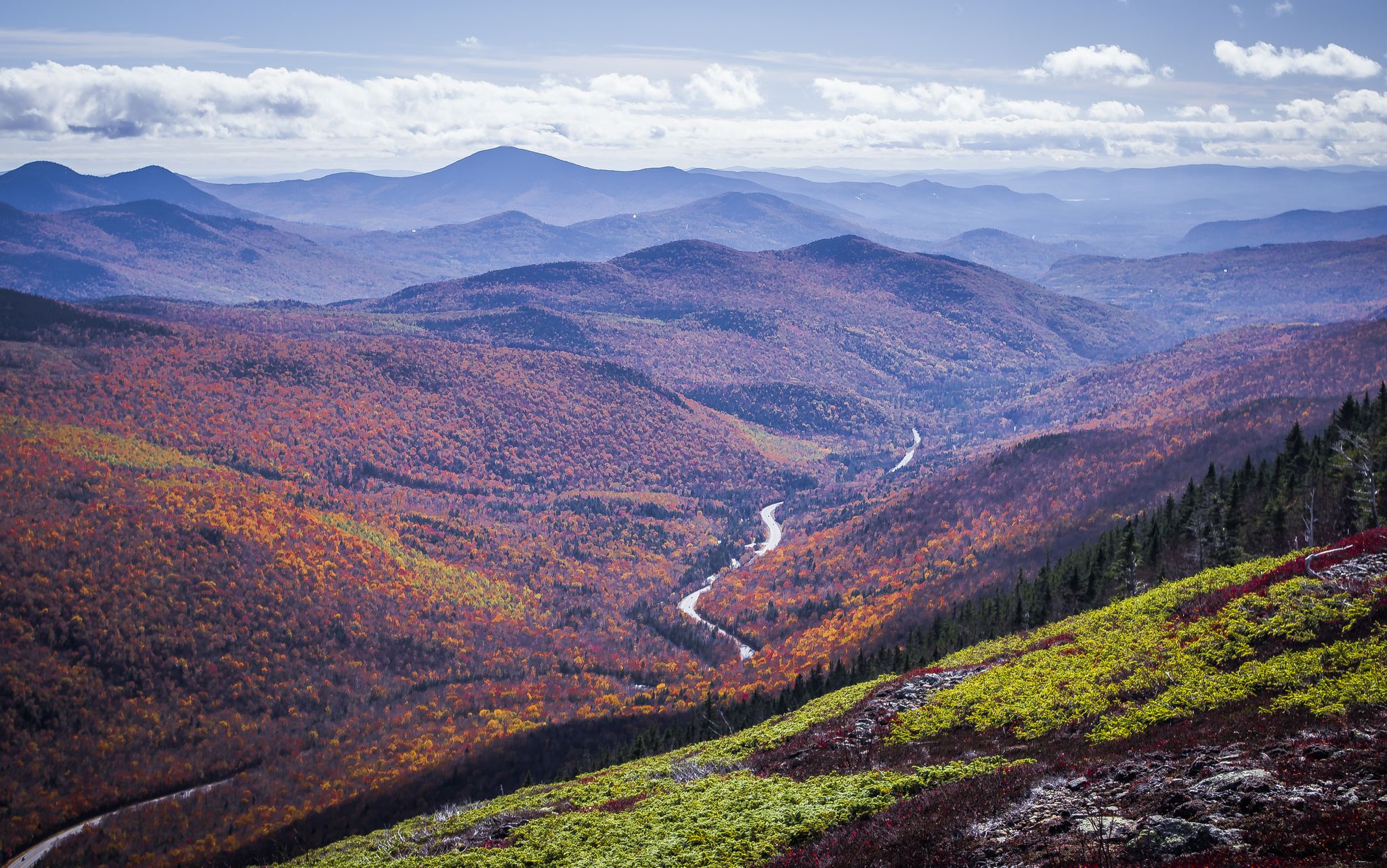
The summer months are ideal for family hiking, offering pleasant temperatures and full access to trails. Autumn is also spectacular, especially in the southern reaches of the wilderness, as the northern hardwood forests transform with vibrant fall foliage. Be aware that weather conditions, particularly on higher summits, can be extreme and unpredictable year-round, so always check forecasts.
Are there any trails with waterfalls that are suitable for families?
Yes, the region features beautiful cascades and waterfalls. A great option for families is the Bemis Brook Waterfalls Trail – Arethusa Falls loop from Hart's Location. This moderate loop trail is known for its varied forest terrain and picturesque waterfalls, making it a rewarding experience for all ages.
What kind of natural features or landmarks can we see on family hikes?
The Presidential Range-Dry River Wilderness is rich in natural beauty. You can explore diverse ecosystems ranging from dense forests to alpine tundra. Notable landmarks and viewpoints include the Mount Jackson Summit, offering excellent views, and the Mount Isolation, known for its solitude and panoramic vistas. The Dry River itself carves a striking path through the heart of the area.
Are there any loop hikes suitable for families in the area?
Yes, loop hikes are a great way to experience varied scenery without retracing your steps. The Bemis Brook Waterfalls Trail – Arethusa Falls loop from Hart's Location is a moderate loop that takes you past beautiful waterfalls. For families with older, more experienced hikers, the challenging Mount Pierce, Jackson, and Webster Loop offers panoramic White Mountain views across three summits.
What do other hikers enjoy most about family-friendly trails in Presidential Range-Dry River Wilderness?
The area is highly rated by the komoot community, with an average score of 4.5 stars. Reviewers often praise the stunning natural beauty, the sense of wilderness, and the variety of trails that cater to different skill levels. Many appreciate the opportunity to experience the rugged landscapes and breathtaking vistas of the White Mountain National Forest.
Are there any easy, short hikes suitable for families with young children or toddlers?
While many trails in the Presidential Range-Dry River Wilderness can be challenging, there are easier options. Look for trails designated as 'easy' in the guide, which typically feature shorter distances and less elevation gain, making them more suitable for families with young children or those using strollers on paved or well-maintained sections. Always check individual route details for specific terrain information.
Can we spot any wildlife while hiking with family?
Yes, the wilderness is home to a variety of wildlife. As you explore the trails, you might have the chance to observe deer, moose, and even black bears. Remember to maintain a safe distance and never feed wild animals. Early mornings or late afternoons are often the best times for wildlife spotting.
Are there any huts or shelters along the trails where families can rest or stay overnight?
Yes, the Appalachian Mountain Club (AMC) operates several huts in the region. The Lakes of the Clouds Hut, located between Mount Monroe and Mount Washington, offers stunning alpine views and serves as a vital stop for hikers to replenish water or seek refuge. The Mizpah Spring Hut is another option. These huts provide accommodations and meals during the summer and early fall seasons, but reservations are highly recommended.
What should families consider regarding parking and public transport for these trails?
Parking is generally available at trailheads, often requiring a fee or a White Mountain National Forest pass. Public transport options are limited within the wilderness itself, so planning your route with car access in mind is usually necessary. Always check specific trailhead information for parking availability and any required permits or fees before you go.
What kind of weather conditions should we prepare for in the Presidential Range-Dry River Wilderness?
The Presidential Range is renowned for experiencing some of the most extreme weather conditions on Earth, characterized by unpredictable high wind speeds and whiteout conditions on its higher summits. Even in summer, temperatures can drop significantly, and storms can develop rapidly. Always pack layers, waterproof gear, and be prepared for sudden changes in weather, especially when venturing to higher elevations.
Most popular routes in Presidential Range-Dry River Wilderness
Most popular attractions in Presidential Range-Dry River Wilderness

Get inspired with the komoot mobile app


Explore more
Browse the best Hikes in other regions.
