The best city hikes and walks around Benicia
4.6
(48)
270
hikers
13
hikes
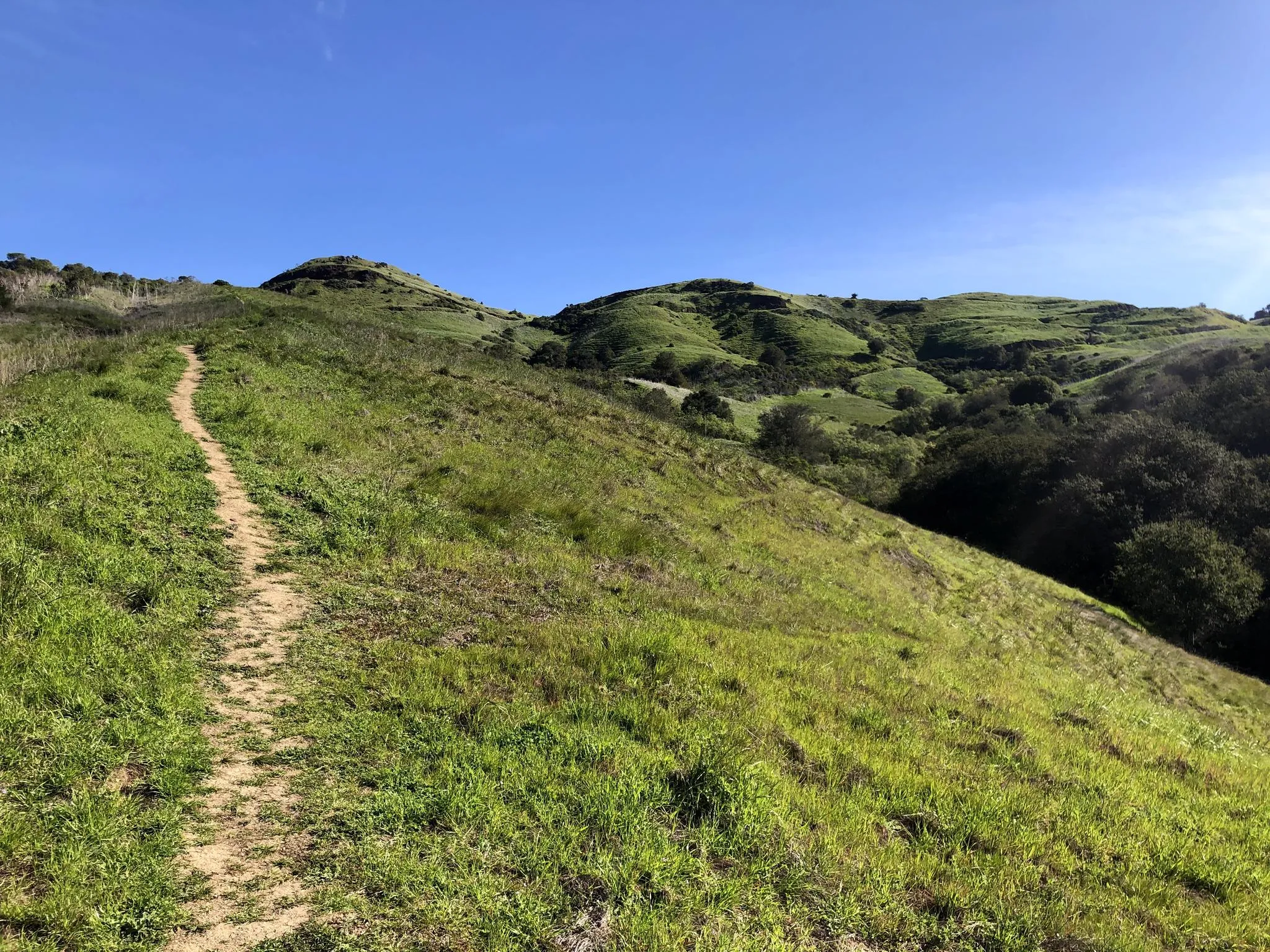
Urban hiking trails around Benicia offer diverse landscapes along the Carquinez Strait and San Pablo Bay. The region features tidal marsh wetlands, rolling grassy hillsides, and waterfront paths. Many routes provide views of these waterways, distant mountains, and landmarks like the Carquinez Bridge. The terrain includes both flat shoreline sections and hillsides offering panoramic vistas.
Best urban hiking trails around Benicia
- The most popular urban hiking route is San Francisco Bay Trail: Benicia Arsenal Loop, a 4.4 miles (7.1…
Last updated: October 24, 2026
1
hikers
3.97km
01:01
20m
10m
Easy hike. Easily walkable paths.
5.0
(2)
2
hikers
3.41km
00:52
0m
0m
Easy hike. Easily walkable paths.

6.69km
01:44
40m
40m
Easy hike. Easily walkable paths.
16
hikers
Easy hike. Easily walkable paths.
5.0
(2)
5
hikers
4.95km
01:16
20m
20m
Easy hike. Easily walkable paths.
Get access to more routes and recommendations from other explorers.
Already have an account?
Our route recommendations are based on thousands of hikes, rides, and runs completed by other people on komoot.
Start today with a free account
Your next adventure awaits.
Popular around Benicia
Other adventures around Benicia

Tips from the Community

The Benicia Marina is located on the Carquinez Straight. There is a paved trail that takes you around the perimeter of the marina and gives you good views of the water.
0
0

The Fischer-Hanlon House preserves one of the few examples of heavy timber frame construction with mortise and tenon joints used prior to the advent of balloon framing in California in the mid-19th century. The building was possibly used as a hotel during the Gold Rush period. It was purchased by Joseph Fischer, a Benicia businessman who moved the building to its present site and converted it into a residence. Fischer had migrated from Switzerland to New York in 1845. In 1849 he moved to California. A lucrative butcher business sponsored his remaining in Benicia, rather than attempting to mine. At that time, and for twenty years thereafter, Benicia was a city to be reckoned with. In 1853-54, it was the capital of California. The State House was adjacent to the Fischer property. Once known as the Athens of the West, Benicia declined following removal of the capital to Sacramento and removal of the county seat to Fairfield. Three generations of the Fischer family lived here. Joseph Fischer and his wife left their home to their three children, Martha Fischer Quinn, Joseph Fischer and Elizabeth Fischer Hanlon. Martha and Joseph resided in the house until their death, whereupon Elizabeth Hanlon's three daughters inherited it.
0
0
From 1860 to 1861, Benicia was indirectly involved in the Pony Express. When riders missed their connection with a steamer in Sacramento, they continued on to Benicia and crossed over to Martinez via the ferry.
1
0
A well sheltered port extends out into the Carquinez Strait, for yachts, recreational boats and small fishing vessels.
1
0
Large urban park, covering one long city block, with a band stand, meadows, picnic areas, play grounds, and several monuments.
1
0
For a short period of time, Benicia became California's State Capital city, before the role shifted to Sacramento permanently
1
0
Well managed community garden shared by neighbors, growing an abundance of vegetables.
1
0
Small grass area above a beach cove at 6th and West I Streets.
1
0
Frequently Asked Questions
How many urban hiking trails are available in Benicia?
Benicia offers a selection of 10 urban hiking trails, primarily focusing on easy routes along the waterfront and through local parks. These trails provide excellent opportunities to explore the city's scenic natural features.
What kind of views can I expect on Benicia's urban trails?
Benicia's urban trails are renowned for their stunning waterfront views. You can expect expansive panoramas of the Carquinez Strait and San Pablo Bay, often including landmarks like the Carquinez Bridge and distant mountains. Many routes traverse rolling grassy hillsides, offering 360-degree vistas from higher elevations.
Are Benicia's urban hiking trails suitable for families?
Yes, many of Benicia's urban trails are family-friendly, offering easy and accessible options. Routes like the San Francisco Bay Trail: Benicia Marina Loop are relatively short and flat, perfect for a leisurely stroll with children. The mild Bay Area weather makes it enjoyable for families year-round.
Are dogs allowed on Benicia's urban hiking trails?
Yes, many urban trails in Benicia are dog-friendly. The Benicia waterfront trails, including sections of the San Francisco Bay Trail, generally welcome leashed dogs. Always check local signage for specific regulations within parks or sensitive wetland areas like the Benicia State Recreation Area.
What are some popular urban trails for a scenic walk in Benicia?
For scenic urban walks, consider the San Francisco Bay Trail: Benicia Waterfront, which offers continuous views of the Carquinez Strait. Another excellent choice is the Bay Area Ridge Trail: Benicia Shoreline, providing beautiful waterfront vistas and a pleasant urban experience.
Are there any circular urban hiking routes in Benicia?
Yes, you can find circular urban hiking routes in Benicia. The San Francisco Bay Trail: Benicia Marina Loop is a great example, offering a convenient loop around the marina area. Another option is the San Francisco Bay Trail: Benicia Arsenal Loop, which provides a longer circular experience.
What kind of wildlife can I spot on Benicia's urban trails?
Benicia's urban trails, especially those near the waterfront and wetland areas, offer opportunities for wildlife spotting. You might encounter various bird species, including songbirds, shorebirds, waterfowl, and raptors like the Northern Harrier. Ground squirrels are also common along the paths.
What do other hikers say about urban hiking in Benicia?
The urban hiking trails in Benicia are highly rated by the komoot community, with an average score of 4.8 stars. Reviewers often praise the stunning waterfront views, the well-maintained paths, and the accessibility of the trails for all fitness levels. The mild weather and diverse scenery are frequently highlighted as key attractions.
Are there any nearby attractions or points of interest along Benicia's urban trails?
Yes, Benicia's urban trails offer access to several points of interest. You can enjoy views of the Benicia-Martinez Bridge, explore the historic Arsenal district, or visit the Rodeo Marina. The trails also provide glimpses of the Martinez Regional Shoreline and offer scenic viewpoints like the Little Bull Valley Carquinez Overlook.
What is the best time of year to go urban hiking in Benicia?
Benicia's mild Bay Area weather makes it a great destination for urban hiking year-round. Spring and fall offer comfortable temperatures and often clear skies, perfect for enjoying the waterfront views. Even in winter, the weather is generally pleasant, though you might want to bring layers for cooler mornings or evenings.
Where can I find information about parking for Benicia's urban trails?
Parking is generally available near popular access points for Benicia's urban trails, especially along the waterfront and near downtown areas. For specific parking details, it's best to check local city maps or the Benicia Parks and Recreation website. Many trailheads are located close to public parking lots.
Are there cafes or restaurants near Benicia's urban hiking paths?
Yes, Benicia's downtown and waterfront areas, where many urban trails are located, offer a variety of cafes and restaurants. You'll find options for refreshments and meals conveniently close to the paths, perfect for a break before or after your hike.
Most popular attractions around Benicia

Get inspired with the komoot mobile app


Explore more
Browse the best Hikes in other regions.
