The best traffic-free bike rides around Scottsdale
4.2
(73)
3,835
riders
13
rides
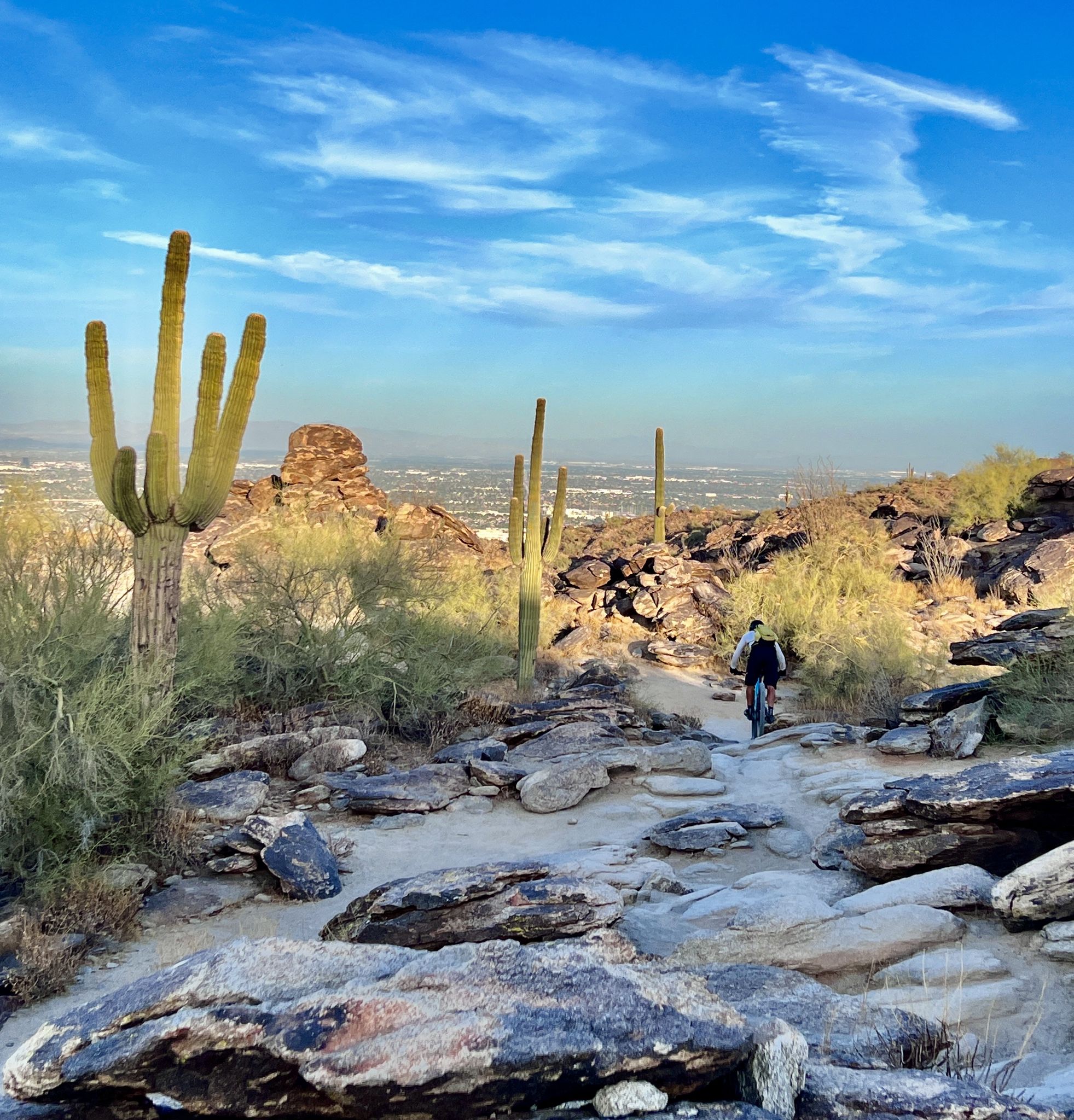
Road cycling around Scottsdale is defined by the expansive Sonoran Desert landscape, featuring iconic saguaro cacti and rugged terrain. The region is bordered by the McDowell Mountains, which offer varied elevation changes for cyclists. Scottsdale's extensive network of bikeways and urban greenbelts provides numerous no traffic road cycling routes.
Best no traffic road cycling routes around Scottsdale
- The most popular no traffic road cycling route is Tempe Town Lake – Elmore Pedestrian Bridge loop from Scottsdale, a 32.1 miles…
Last updated: November 7, 2026
48
riders
Moderate road ride. Good fitness required. Mostly well-paved surfaces and easy to ride.
5.0
(2)
31
riders
25.3km
01:02
130m
130m
Easy road ride. Mostly well-paved surfaces and easy to ride.

28
riders
29.6km
01:23
270m
270m
Easy road ride. Mostly well-paved surfaces and easy to ride.
20
riders
39.4km
01:49
340m
340m
Moderate road ride. Good fitness required. Some segments of this route may be unpaved and difficult to ride.
18
riders
57.1km
03:01
660m
660m
Moderate road ride. Good fitness required. Mostly well-paved surfaces and easy to ride.
Get access to more routes and recommendations from other explorers.
Already have an account?
Our route recommendations are based on thousands of hikes, rides, and runs completed by other people on komoot.
Start today with a free account
Your next adventure awaits.


Other adventures around Scottsdale

Tips from the Community

Scottsdale Rotary Park is an 8-acre park with picnic areas and restrooms. Short, paved multi-use paths trace the perimeter of this small park.
0
0

This place is great for taking a break and enjoying the beautiful scenery. You can hop off your bike and relax by the water.
0
0

Scottsdale Rotary Park Picnic Area is a nice green area to break and rehydrate in. It's 8 acres in size with two drop-in ramadas, a playground, shaded picnic areas, and a restroom.
0
0
Pass over the Central Arizona Central Canal and continue up the road for about 0.6 miles (1km) to Taliesin West. This area was Frank Lloyd Wright’s desert laboratory and winter home. It is now a UNESCO World Heritage Site. It is open to the public, and reservations are strongly recommended. Taliesin West is open from 10:00 a.m. to 5:00 p.m.
0
0
Fountain Park is a 64-acre recreation park in the center of town. It was constructed in 1970 and is home to a 29-acre, 100 million-gallon lake with a fountain! The huge fountain spout will go off every hour for 15 minutes between 9:00 a.m. and 9:00 p.m.The only time I will not erupt is in windy conditions.
0
0
A great, almost unobstructed view of Camelback Mountain from East McDonald Drive on the north side of the mountain This hike is very popular, so in the early, cooler hours of the morning, keep your eyes out for spotting the headlamps of early bird hikers.
0
0

This area provides an ideal spot to pause, relax, and savor the beautiful scenery. Take pleasure in the glistening water reflecting the sunlight, observe ducks gracefully swimming in the lake, and perhaps even spot some fishermen in the vicinity.
0
1
Camelback Walk Greenbelt is a walking and riding path that is paved and flat. It is a nice, easy urban ride. The trail passes through the northeastern most part of McCormick Ranch. Trail maintenance is done by the McCormick Ranch POA. The entire trail, from end to end, spans about 20 miles.
0
0
Frequently Asked Questions
How many traffic-free road cycling routes are available in Scottsdale?
There are 13 dedicated traffic-free road cycling routes in Scottsdale featured in this guide. These routes offer a variety of experiences across the Sonoran Desert landscape.
What is the best time of year for traffic-free road cycling in Scottsdale?
The best season for road cycling in Scottsdale is typically from late fall through early spring (October to April). During these months, the weather is mild and sunny, making for ideal riding conditions. Summers can be extremely hot, so early morning rides are essential if cycling during that period.
What kind of terrain can I expect on Scottsdale's traffic-free road cycling routes?
Scottsdale's traffic-free road cycling routes primarily feature paved surfaces, often following greenbelts, canal paths, or dedicated bike lanes. While many routes are relatively flat, some, especially those venturing closer to the McDowell Mountains, may include gentle inclines and descents, offering varied elevation profiles within the Sonoran Desert scenery.
Are there any easy, traffic-free road cycling routes suitable for beginners in Scottsdale?
Yes, there are 6 easy traffic-free road cycling routes in Scottsdale. An example is the Sunrise Trail loop from Andalusia, which offers a pleasant ride with manageable distances and elevation, perfect for those new to road cycling or looking for a relaxed outing.
Are there challenging traffic-free road cycling routes in Scottsdale?
Yes, for those seeking more of a challenge, there are 7 moderate traffic-free road cycling routes. Routes like the Taliesin West – Taliesin West loop from Notre Dame Prepratory High School offer longer distances and more significant elevation gains, providing a rewarding workout amidst scenic desert views.
Can I find circular traffic-free road cycling routes in Scottsdale?
Many of the traffic-free road cycling routes in Scottsdale are designed as loops, allowing you to start and end at the same point without retracing your path. For instance, the Tempe Town Lake – Elmore Pedestrian Bridge loop from Scottsdale is a great option for a longer circular ride.
What natural landmarks can I see along traffic-free road cycling routes in Scottsdale?
The routes often provide views of the iconic Sonoran Desert landscape, including saguaro cacti and the McDowell Mountains. You might also encounter highlights such as Papago Park, known for its distinctive red rock formations, or catch glimpses of Camelback Mountain in the distance.
Are there any scenic viewpoints on the traffic-free road cycling routes?
While dedicated viewpoints might require a short detour from some routes, many paths offer expansive panoramic views of the Sonoran Desert and surrounding mountain ranges. The Ridgeback Overlook, for example, provides excellent vistas and is accessible from some nearby areas.
What do other road cyclists enjoy most about the traffic-free routes in Scottsdale?
The komoot community highly rates the traffic-free road cycling routes in Scottsdale, with an average score of 4.6 stars. Reviewers frequently praise the well-maintained paths, the stunning Sonoran Desert scenery, and the peace of mind that comes with cycling away from vehicle traffic. The consistent sunshine is also a major draw.
Is public transport available to access traffic-free road cycling routes in Scottsdale?
Yes, Scottsdale's public transport system, including Valley Metro buses, offers access to various points along the extensive network of bikeways and greenbelts. Many routes, such as those along the Indian Bend Wash Greenbelt, have multiple access points that are often reachable via public transit, making it convenient to start your ride.
Are there family-friendly traffic-free road cycling routes in Scottsdale?
Absolutely. Many of Scottsdale's traffic-free routes, particularly those along the Indian Bend Wash Greenbelt or shorter park loops like the Chaparral Lake Loop, are flat, well-paved, and ideal for families with children. These routes offer a safe and enjoyable environment for cyclists of all ages.
Where can I park to access traffic-free road cycling routes in Scottsdale?
Parking is generally available at various access points along the traffic-free road cycling routes. Many parks, such as those along the Indian Bend Wash Greenbelt, offer dedicated parking lots. For routes like the Roadbike loop from Galloway Wash, you can often find parking near the suggested starting points or nearby public facilities.
Most popular routes around Scottsdale
Most popular attractions around Scottsdale

Get inspired with the komoot mobile app


Explore more
Browse the best Road cycling routes in other regions.
