The best traffic-free bike rides in Lake Tahoe Basin Management Unit
4.6
(30)
2,754
riders
5
rides
Road cycling in Lake Tahoe Basin Management Unit offers diverse routes amidst a landscape characterized by crystal-clear waters, panoramic mountain views, and dense pine forests. The region encompasses 154,851 acres across California and Nevada, providing a mix of challenging ascents and leisurely rides. Key features include the iconic Lake Tahoe, surrounding granite peaks, and the Truckee River, which carves scenic paths through the area. This environment provides varied terrain for road cyclists seeking no traffic routes.
Best no traffic road…
Last updated: May 27, 2026
53
riders
43.8km
01:54
200m
200m
Easy road ride. Great for any fitness level. Mostly well-paved surfaces and easy to ride.
6
riders
22.1km
01:18
370m
370m
Moderate road ride. Good fitness required. Mostly well-paved surfaces and easy to ride.

Sign up for free
9
riders
23.2km
01:06
290m
290m
Easy road ride. Great for any fitness level. Mostly well-paved surfaces and easy to ride.
5.0
(2)
37
riders
44.5km
02:10
550m
550m
Moderate road ride. Good fitness required. Mostly well-paved surfaces and easy to ride.
5.0
(13)
7
riders
37.3km
01:49
220m
220m
Easy road ride. Great for any fitness level. Mostly well-paved surfaces and easy to ride.
Our route recommendations are based on thousands of hikes, rides, and runs completed by other people on komoot.
Start today with a free account
Your next adventure awaits.
Login or Signup
Popular around Lake Tahoe Basin Management Unit

American Discovery Trail — Walking from sea to shining sea

Tahoe Rim Trail — Hiking along the Jewel of the Sierra

American Discovery Trail — Riding coast to coast

California to Nevada – hiking between Volcanoes, Water & Forest
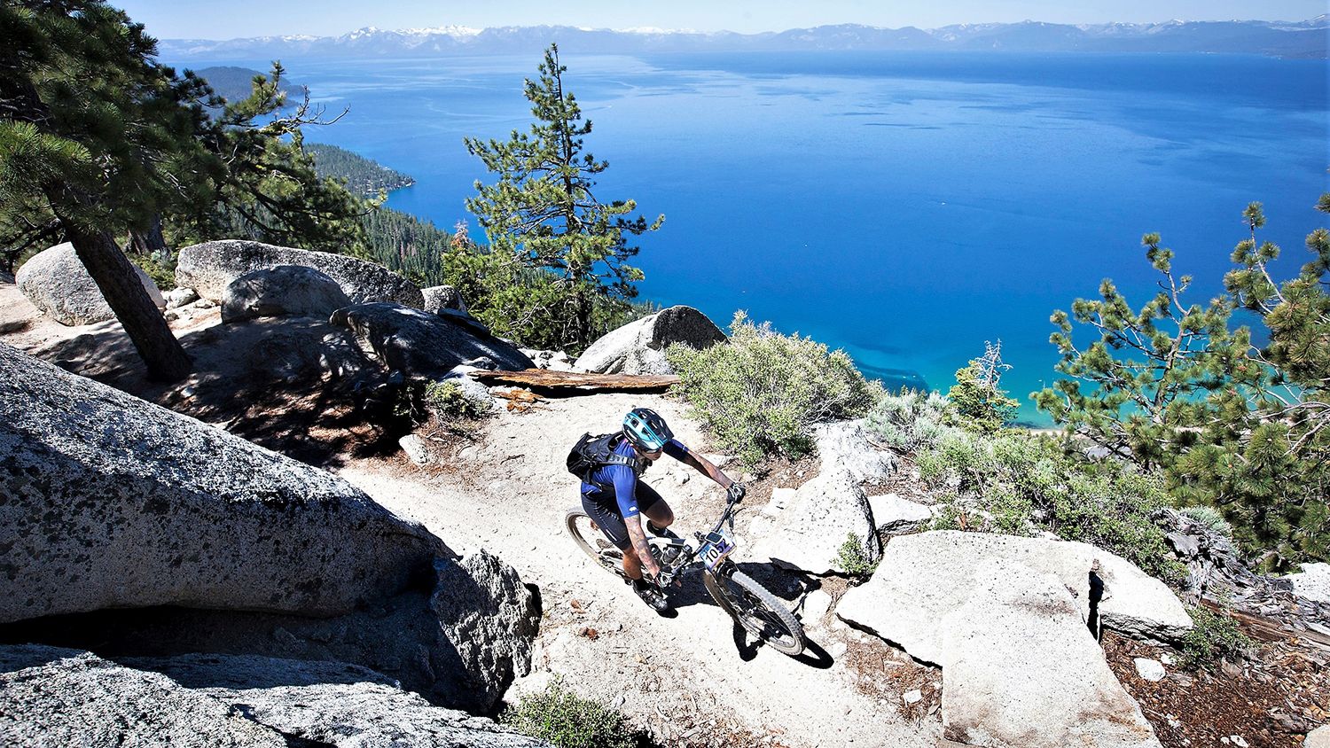
Rocky trails and magical views – MTB Tours in Nevada

Circumnavigating Lake Tahoe in the Sierra Nevada – Tahoe Rim Trail

Unforgettable MTB Adventures – IMBA Epic Trails in USA and Canada

Traffic-free bike rides in Lake Tahoe Basin Management Unit

Traffic-free bike rides in Lake Tahoe Basin Management Unit
Other adventures in Lake Tahoe Basin Management Unit


Tips from the Community

The Tahoe Rim Trail crosses the 121-mile-long Truckee River. Stare down into the crystal clear, cold water. Truckee River is the only outlet of Lake Tahoe, and it empties into Pyramid Lake, creating an Truckee River is the only outlet of Lake Tahoe and it empties into Pyramid Lake creating an endorheic (closed) basin. (closed) basin.
0
0

Very Nice and Easy trail for all, ride it from Tahoe City all the way to Palisades if you like. beautiful scenery and views along the Truckee River.
0
0

This state park has nearly two miles of shoreline and over 2,500 acres of forested mountains. The name of this park changed from Sugar Pine Point State Park to Ed Z'berg Sugar Pine Point State Park in 2009 to honor Edwin L. Z'berg, a very environmentally-involved California state assemblyman.
0
0

Cycling along Emigrant Trail Road next to Mesa Vista reveals stunning mountain vistas. The majestic peaks, including the Sierra Nevada Range, stand as a breathtaking backdrop. Riders are treated to the grandeur of the landscape, offering a scenic journey through the rugged beauty of the surrounding mountains.
0
0

The Historic Truckee River Bike Path is a popular ride for individuals and families alike. Flat and well paved, the main obstacles will be other trail users. This path provides easy access to the Truckee River as well as connections to many other trails in the area.
0
0
Alpine Meadows Road is the main driving path from the highway to Alpine Meadows Ski Resort. This road and the trails around it should only be run in the summer or during snow-free times because during the winter it is a notorious avalanche zone. Also, be careful running here, as the shoulder is almost nonexistent.
0
0
This 2.3-mile paved bike path travels through the scenic Squaw Valley, commonly called one of the most beautiful alpine valleys in the country.
0
0
Frequently Asked Questions
How many traffic-free road cycling routes are available in the Lake Tahoe Basin Management Unit?
There are several dedicated traffic-free road cycling routes in the Lake Tahoe Basin Management Unit. Our guide features 4 routes, with 3 of them being easy and 1 moderate, offering a range of options for different skill levels.
What do other cyclists say about the traffic-free road cycling routes in Lake Tahoe Basin Management Unit?
The traffic-free road cycling routes in the Lake Tahoe Basin Management Unit are highly rated by the komoot community, with an average score of 4.7 out of 5 stars. Cyclists often praise the stunning lake views, well-maintained paths, and the peaceful, car-free environment.
Are there easy, traffic-free road cycling routes suitable for beginners in the Lake Tahoe Basin Management Unit?
Yes, the Lake Tahoe Basin Management Unit offers several easy, traffic-free road cycling routes perfect for beginners. For example, the Truckee River Trail – Truckee River Trail loop from Tahoma is an easy 43.8 km ride with minimal elevation gain, following the scenic Truckee River. Another great option is the Olympic Valley – Truckee River Trail loop from Olympic Valley, which is a shorter 23.2 km easy route.
Can I find family-friendly, traffic-free road cycling options in the Lake Tahoe Basin Management Unit?
Absolutely! Many of the traffic-free routes are ideal for families. The Tahoe East Shore Trail, for instance, is a 5.6-mile paved path offering stunning lake views and access to beaches, with mostly flat terrain. The South Tahoe Bikeway, also known as the Pope Baldwin Bike Path, is another easy paved trail featuring amazing water views and picnic areas, perfect for a family outing.
Are there any circular or loop routes for traffic-free road cycling?
Yes, several routes are designed as loops, allowing you to start and end at the same point. The Truckee River Trail – Truckee River Trail loop from Tahoma and the Olympic Valley – Truckee River Trail loop from Olympic Valley are both excellent examples of traffic-free loop routes. For a slightly more challenging loop, consider the Emigrant Trail mountain views loop from Fay-Luther Trail Head.
What scenic viewpoints or natural features can I expect along these traffic-free road cycling routes?
The Lake Tahoe Basin Management Unit is renowned for its breathtaking scenery. Along these routes, you can expect panoramic views of Lake Tahoe's crystal-clear waters, towering granite peaks, and dense pine forests. Specific highlights include the vibrant emerald waters of Emerald Bay and the scenic Truckee River. Many paths offer direct access to beaches and picnic areas, allowing you to fully immerse yourself in the natural beauty.
Are there any waterfalls accessible near the traffic-free road cycling routes?
Yes, the region features beautiful waterfalls that can be accessed near some cycling routes. You might consider visiting Cascade Falls Trailhead or Upper Eagle Falls. These natural attractions offer stunning views and a refreshing break from your ride.
What is the best time of year for traffic-free road cycling in the Lake Tahoe Basin Management Unit?
The best time for traffic-free road cycling in the Lake Tahoe Basin Management Unit is typically from late spring through early autumn (May to October). During these months, the weather is generally mild, and the trails are clear of snow. Summer offers warm temperatures perfect for enjoying the lake, while fall brings beautiful foliage. Some lower elevation paths might be accessible in winter, but many higher routes will be snow-covered.
Are there places to park near the traffic-free road cycling trailheads?
Yes, many popular traffic-free road cycling routes in the Lake Tahoe Basin Management Unit have designated parking areas at or near their trailheads. For example, the Tahoe East Shore Trail has parking available at its access points. It's always a good idea to check specific route details for the most convenient parking options.
Can I find cafes or pubs near the traffic-free road cycling routes?
Yes, the Lake Tahoe Basin Management Unit is well-equipped with amenities. Many towns and villages along or near the cycling routes, such as Incline Village, South Lake Tahoe, and Truckee, offer a variety of cafes, restaurants, and pubs where you can refuel and relax. The Tahoe Bike Coalition can also provide information on local services.
Are there any longer traffic-free road cycling routes for extended rides?
For a longer traffic-free ride, the Truckee River Trail – Truckee River Trail loop from Tahoma covers approximately 43.8 km. Another option is the Emigrant Trail mountain views loop from Fay-Luther Trail Head, which is around 44.5 km and offers moderate difficulty with more elevation.
Most popular routes in Lake Tahoe Basin Management Unit
Most popular attractions in Lake Tahoe Basin Management Unit

Get inspired with the komoot mobile app


Explore more
Browse the best Road cycling routes in other regions.
