The best hikes from bus stations in Norfolk County
4.6
(809)
8,444
hikers
21
hikes
Bus station hiking trails in Norfolk County, Massachusetts, offer access to a diverse landscape of rolling hills, woodlands, and reservoirs. The region is characterized by extensive parklands, including the vast Blue Hills Reservation, which features varied terrain from gentle paths around ponds to more challenging ascents. Hikers can explore forested areas, open spaces, and numerous natural features accessible via public transport.
Best bus station hiking trails in Norfolk County
- The most popular bus station hiking route is Brookline Reservoir Park…
Last updated: November 8, 2026
7
hikers
1.75km
00:27
0m
10m
The Brookline Reservoir Park Trail offers a peaceful escape with serene water views and lush surroundings that change with the seasons. This easy hiking route is a quick 1.1 miles…
4.5
(4)
35
hikers
24.0km
07:10
700m
700m
Embark on the Skyline Trail for a difficult hiking adventure that spans 14.9 miles (24.0 km) and challenges you with 2307 feet (703 metres) of elevation gain. This route offers…

5.0
(1)
18
hikers
3.61km
01:08
140m
140m
Easy hike. Easily walkable paths.
5.0
(2)
11
hikers
10.3km
02:51
180m
180m
Moderate hike. Good fitness required. Easily walkable paths.
7
hikers
Moderate hike. Good fitness required. Easily walkable paths.
Get access to more routes and recommendations from other explorers.
Already have an account?
Our route recommendations are based on thousands of hikes, rides, and runs completed by other people on komoot.
Start today with a free account
Your next adventure awaits.
Popular around Norfolk County

Hikes from bus stations in Webb Memorial State Park

Hikes from bus stations in Abigail Adams State Park

Hikes from bus stations around Quincy

Hikes from bus stations around Milton

Hikes from bus stations around Brookline
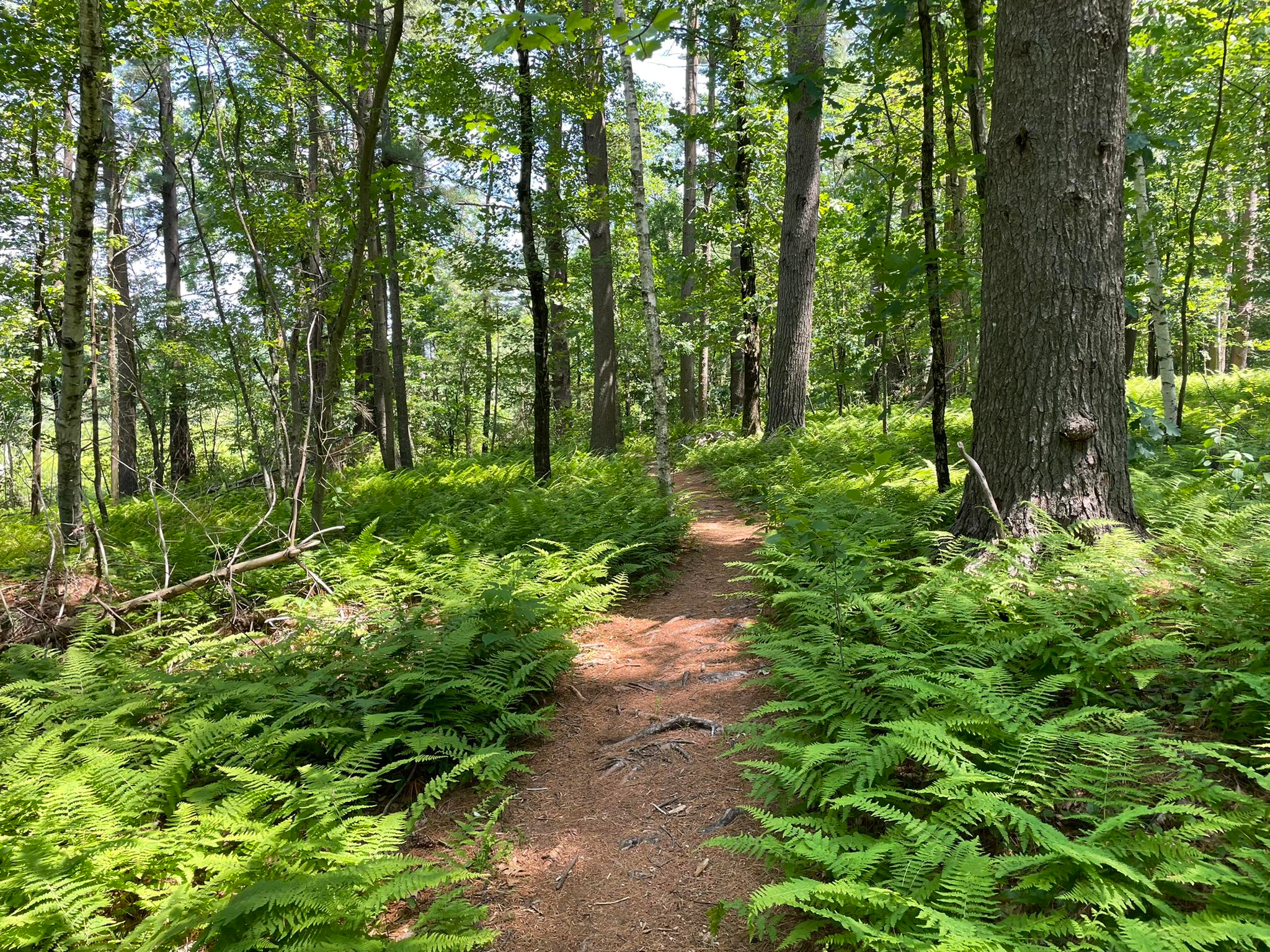
Bay Circuit Trail and Greenway — Walking the Emerald Necklace
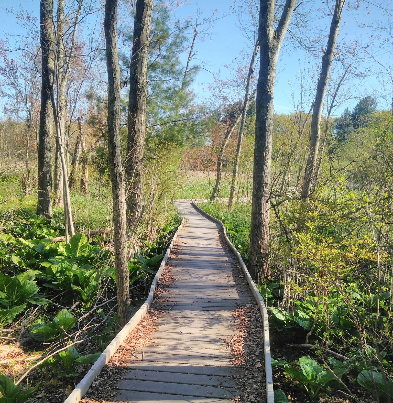
Bay Circuit Trail & Greenway — Pedal Boston’s Greenbelt

Tips from the Community

A very challenging route as it is very rocky
0
0
A wonderful area where you can do many different activities. I both cycle and do trail runs here. It is often challenging, especially when running, because it often goes uphill and downhill.
0
0
Nice view to Boston. There are some differnt place with awsome views
0
0
Frequently Asked Questions
How many bus-accessible hiking trails are available in Norfolk County?
There are nearly 30 hiking routes in Norfolk County that are easily accessible from bus stations. These trails range from easy strolls to more challenging ascents, catering to various fitness levels.
What types of terrain can I expect on bus-accessible hikes in Norfolk County?
Norfolk County offers diverse terrain. In Massachusetts, you'll find rolling hills, extensive woodlands, and trails around ponds and reservoirs, such as those in the Blue Hills Reservation. In Ontario, trails often follow former rail lines through old-growth forests and wetlands, like the Lynn Valley Trail. Expect a mix of natural paths, some with exposed tree roots, and paved sections.
Are there any easy, family-friendly bus station hikes?
Yes, there are 11 easy routes perfect for families. The Great Blue Hill Summit loop from Great Blue Hill offers a manageable climb with rewarding views. Another gentle option is the Brookline Reservoir Park Trail, ideal for a leisurely walk.
Can I find longer or more challenging bus-accessible hikes in the area?
Absolutely. For a significant challenge, consider the Skyline Trail, a difficult route spanning over 24 km with substantial elevation changes. There are 16 moderate routes available, such as the Rattlesnake Hill – The Crags loop from Granite Railway Incline, offering a good balance of distance and ascent.
What natural attractions can I see along these bus-accessible routes?
Many trails offer access to beautiful natural features. You can explore areas like the Stony Brook Wildlife Sanctuary, known for birdwatching, or enjoy the tranquility of Saint Moritz Pond. Several routes also lead to scenic viewpoints and summits, including the Great Blue Hill Summit and Noon Hill Lookout.
Are there any circular bus routes that connect to hiking trails?
While specific circular bus routes directly linked to trails aren't detailed, many bus lines serve trailheads within larger park systems like the Blue Hills Reservation in Massachusetts, allowing for point-to-point or loop hikes by utilizing different bus stops. Always check local transit schedules for the most current information on connecting services.
What do other hikers enjoy most about bus-accessible trails in Norfolk County?
The komoot community highly rates these trails, with an average score of 4.7 stars from over 700 reviews. Hikers often praise the convenience of public transport access, the variety of landscapes from dense woodlands to open reservoirs, and the well-maintained paths that make for enjoyable outings.
Are these trails suitable for dog walking?
Many trails in Norfolk County are dog-friendly, especially those in larger conservation areas and state parks. However, specific rules can vary by location, particularly within wildlife sanctuaries or protected areas. It's always best to check local regulations for the specific trail you plan to hike, and ensure your dog is leashed and you clean up after them.
What is the best time of year to hike these bus-accessible trails?
Spring and fall are generally ideal for hiking in Norfolk County, offering pleasant temperatures and beautiful scenery, from spring blooms to vibrant autumn foliage. Summer can be enjoyable, but be prepared for warmer weather and potential insects. Winter hiking is also possible, especially on well-maintained paths, but requires appropriate gear for snow and ice.
Are there any trails that offer views of the wider region?
Yes, several trails provide excellent panoramic views. The Wolcott Hill loop from Great Blue Hill offers vistas, and the View of Miso Hill, Magoniscook Hill, Great Blue Hill, and Wolcott Hill from Buck Hill is a notable viewpoint. The Blue Hills Reservation, in particular, is known for its elevated spots that offer expansive views of the surrounding landscape, including the Boston skyline on clear days.
Most popular routes in Norfolk County
Most popular attractions in Norfolk County

Get inspired with the komoot mobile app


Didn’t find what you were looking for?
Check out more Hikes throughout Norfolk County below and find the perfect route in your destination.
Explore more
Browse the best Hikes in other regions.
