The best traffic-free bike rides in El Paso County
4.6
(83)
2,930
riders
83
rides
Touring cycling in El Paso County, Colorado, offers diverse landscapes characterized by high-altitude mountain roads, extensive pine forests, and open plains. The region is situated along the Front Range, providing a mix of challenging ascents and serene, flatter routes. Natural features include the iconic Pikes Peak and vast stretches of Pike National Forest. This varied terrain supports a wide range of no traffic touring cycling routes.
Best no traffic touring cycling routes in El Paso County
- The most popular no traffic touring cycling route is Pikes Peak Highway: Cascade to the Summit of Pikes Peak, a difficult 21.2 miles (34.2 km) trail that takes 4 hours 5 minutes to complete. This route ascends to the summit of Pikes Peak, providing expansive mountain views.
- Another top favourite among local touring cyclists is Pineries Trail, an easy 8.3 miles (13.3 km) path. This trail winds through serene pine forests, offering an accessible and scenic ride.
- Local touring cyclists also love the Falcon Trail Loop, a 12.7 miles (20.5 km) trail leading through varied terrain near the Air Force Academy, often completed in about 2 hours 7 minutes.
- Touring cycling in El Paso County is defined by high-altitude mountain roads, extensive pine forests, and open plains. The network offers options for different ability levels, from easy paths to challenging mountain ascents.
- The routes in El Paso County are highly rated by the komoot community with an average score of 4.5 stars from over 55 reviews. More than 2700 touring cyclists have used komoot to explore El Paso County's varied terrain.
Last updated: November 8, 2026
4.0
(2)
77
riders
13.3km
00:54
130m
130m
63
riders
20.5km
02:07
390m
400m

43
riders
80.4km
06:35
460m
460m
The Colorado Front Range Trail offers a challenging touring bicycle experience, covering 50.0 miles (80.4 km) with a significant 1493 feet (455 metres) of elevation gain. This difficult route takes you through diverse landscapes, from the serene Pike National Forest to open plains and foothills. You'll cycle past natural features like Pikeview Reservoir and the Palmer Lake Regional Recreation Area, often with sweeping views of Denver and the majestic Rocky Mountains in the distance. Expect a journey that blends urban sections with quiet rural communities, typically taking around 6 hours and 34 minutes to complete.
Before you set out on this touring bicycle adventure, understand that the Colorado Front Range Trail is an ongoing project. This means you will encounter many separate, completed segments along the way. Careful planning is essential to navigate any gaps that may require you to ride on roads to connect sections. You should research specific segments for amenities like water and resupply points before you go, ensuring a smoother journey.
This trail stands out as a significant effort to connect communities and natural areas across Colorado's Front Range. It provides a unique perspective on the region's varied terrain, from high mountain views to expansive plains. The route is notable for traversing both bustling urban centers and peaceful rural communities, showcasing the diverse character of the area. As an evolving project, it represents a long-term vision for accessible outdoor recreation.
5.0
(1)
32
riders
48.4km
04:08
320m
320m
23
riders
14.2km
01:27
270m
270m
The Talon and Sundance Loop offers a dynamic touring cycling adventure through Cheyenne Mountain State Park, showcasing continuous views of the iconic Cheyenne Mountain. You'll pedal through a mix of natural, unpaved, and gravel paths, transitioning from the mostly flat and wide Sundance Trail to the more challenging, elevation-gaining sections of the Talon trail. Expect to traverse mixed pine forests, open meadowlands, and granite outcrops, with the chance to spot wildflowers in summer and even the NORAD antennas from higher vantage points.
To enjoy this moderate 8.8-mile (14.2 km) route with its 898 feet (274 metres) of elevation gain, plan your visit between April and October, with spring and fall providing ideal cycling conditions. An entrance fee is required for Cheyenne Mountain State Park, and you'll want a mountain, sturdy gravel, or hybrid bike to handle the varied terrain. The trail is clearly marked with color-coded signs, ensuring an easy navigation experience.
Beyond the scenic beauty, the loop is a haven for wildlife, with frequent sightings of deer and bighorn sheep. It's a fantastic way to experience the diverse ecosystems of Colorado, offering a blend of physical challenge and natural immersion. This route stands out for its consistent mountain vistas and the opportunity to explore both wide, gentle paths and narrower, more technical climbs within a single, well-maintained park system.
Get access to more routes and recommendations from other explorers.
Already have an account?
Our route recommendations are based on thousands of hikes, rides, and runs completed by other people on komoot.
Start today with a free account
Your next adventure awaits.
Popular around El Paso County

Traffic-free bike rides around Colorado Springs

Traffic-free bike rides in Bear Creek Regional Park

Traffic-free bike rides in Cheyenne Mountain State Park

Traffic-free bike rides in Black Forest Regional Park

Traffic-free bike rides in Fountain Creek Regional Park
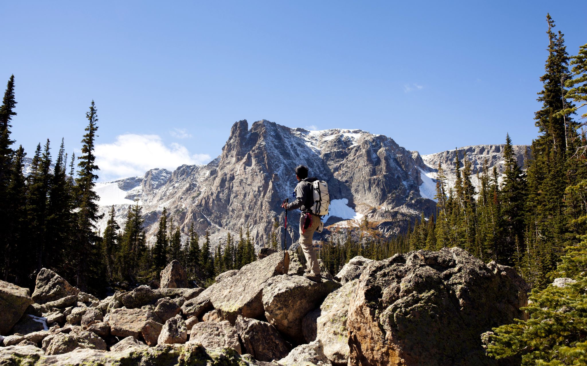
From the mountain peaks to the prairie – Rocky Mountains and Great Plains

Traffic-free bike rides in El Paso County

Traffic-free bike rides in El Paso County
Other adventures in El Paso County

Tips from the Community

Go early to get a parking spot around Palmer Lake.
0
0

Anyone know when AF will open up the portion of Santa Fe Trail?
0
0

Beware Of Geese, great spot to relax with some shade. It's a very heavily traveled trail so keep speeds down if biking.
0
0

One of the three lakes located in the Tri-Lakes area, this lake is the northernmost and is situated in the town of Palmer Lake. There's a pleasant trail encircling the lake, where you'll often find people fishing and enjoying the surroundings. If you plan to fish here, be sure to have your Colorado State fishing license.
1
0
This 6 mile long trail of paved concert runs along Cottonwood Creek and passing by Cottonwood Creek Park. Along the way, you'll be rewarded with stunning views of the Front Range.
0
0
This park offers a variety of sports activities, including soccer, baseball, and football. The highlight is the Frisbee golf course that runs through the area. The park features diverse terrain, ranging from paved pathways to rugged gravel and dirt trails that run alongside Cottonwood Creek.
0
0
This trail stretches for 14 miles from Woodmen to Monument. The section between Lee Lake and the South Gate entrance of the Air Force area offers a well-maintained gravel trail with some pleasant hills and follows alongside Monument Creek.
1
0

Frog Pond is a charming small body of water nestled within the expansive Pineries Open Space. This breathtaking area is home to a diverse array of wildlife, making it the perfect spot for nature lovers to soak up some natural beauty, explore the trails, observe the local flora and fauna, or relax and enjoy the peaceful surroundings.
0
0
Frequently Asked Questions
How many no-traffic touring cycling routes are available in El Paso County?
There are over 90 dedicated no-traffic touring cycling routes in El Paso County, offering a wide range of experiences from easy scenic rides to challenging mountain ascents. You'll find options suitable for all skill levels.
What kind of terrain can I expect on no-traffic touring routes in El Paso County?
El Paso County, Colorado, offers diverse terrain. You can expect high-altitude mountain roads, extensive pine forests, and open plains. Routes like the Pikes Peak Highway provide challenging climbs with expansive mountain views, while the Pineries Trail winds through serene pine forests on an easier path.
Are there any easy, no-traffic touring cycling routes suitable for beginners or families?
Yes, El Paso County has several easy, no-traffic options. The Pineries Trail is an 8.3-mile easy path through serene pine forests, perfect for a relaxed ride. Many urban and natural loops also provide accessible and scenic experiences.
What are some notable landmarks or natural features I can see along these routes?
El Paso County is rich in natural beauty. You can cycle past iconic formations like the Three Graces rock formation in Garden of the Gods Park, or reach the breathtaking Pikes Peak summit on more challenging routes. Other highlights include North Gateway Rock and the Keyhole Rock (Sleeping Giant).
What is the best time of year for no-traffic touring cycling in El Paso County?
The best time to visit El Paso County, Colorado, for touring cycling is generally from late spring through early fall (May to October). During these months, the weather is typically mild, and mountain passes are clear of snow. Always check local weather and road conditions, especially for high-altitude routes like Pikes Peak, as conditions can change rapidly.
Are there any long-distance, no-traffic touring routes available?
For those seeking longer distances, the Colorado Front Range Trail offers a challenging 50-mile route through Pike National Forest, featuring diverse terrain and expansive views. This route provides a significant touring experience without vehicle traffic.
Can I find circular no-traffic touring routes in El Paso County?
Yes, many routes in El Paso County are designed as loops, allowing you to start and end at the same point. The Falcon Trail Loop near the Air Force Academy is a moderate 12.7-mile option with varied terrain. Other urban and natural loops also provide convenient circular options.
What do other touring cyclists enjoy most about cycling in El Paso County?
The komoot community highly rates touring cycling in El Paso County, with an average score of 4.5 stars from 55 ratings. Reviewers often praise the stunning mountain vistas, the variety of terrain from serene forests to challenging ascents, and the well-maintained trails that offer a true escape from traffic.
Are there any routes that offer unique wildlife viewing opportunities?
While not exclusively for wildlife viewing, routes that traverse through natural areas like the Pineries Trail or sections of the Colorado Front Range Trail offer opportunities to observe local flora and fauna in their natural habitats. Keep an eye out for deer, various bird species, and other small mammals, especially during quieter times of the day.
What are the difficulty levels of the no-traffic touring routes?
El Paso County offers a good mix of difficulty levels. Approximately 35 routes are rated easy, 40 are moderate, and 16 are considered difficult. This ensures that whether you're a beginner or an experienced touring cyclist, you'll find a no-traffic route that matches your skill and fitness level.
Are there any routes that offer significant elevation gain for a challenging ride?
Absolutely. For a significant challenge, the Pikes Peak Summit via Pikes Peak Highway route involves over 1500 meters of elevation gain over 42 kilometers, providing an epic and rewarding ascent to one of Colorado's most famous peaks.
Most popular routes in El Paso County
Most popular attractions in El Paso County

Get inspired with the komoot mobile app


Didn’t find what you were looking for?
Check out more Cycling routes throughout El Paso County below and find the perfect route in your destination.
Explore more
Browse the best Cycling routes in other regions.
