Routes

Planner

Features

Updates

App

Login or Signup

Get the App

Login or Signup

Login or Signup

Routes
Hikes

Santa Clara County

Routes
Hikes

Santa Clara County

The best family-friendly hikes and walks in Santa Clara County

4.6

(607)

9,990

hikers

483

hikes

Family friendly hiking trails in Santa Clara County traverse a diverse landscape shaped by the Santa Cruz Mountains and the Diablo Range. The region features extensive redwood forests, rolling grasslands, oak woodlands, and chaparral-covered hills. Numerous creeks and reservoirs, such as Stevens Creek and Lexington Reservoir, add to the natural beauty. This varied terrain provides a wide range of outdoor experiences for hikers.

Best family friendly hiking trails in Santa Clara County

  • The most popular family friendly hiking route is Stephen E. Abbors, Coyote, and High Meadow Loop, an 8.0 miles (12.8 km) trail that takes 3 hours 55 minutes to complete. This route offers significant elevation gain and expansive views.
  • Another top favourite among local hikers is Wildcat Loop Trail, a moderate 6.0 miles (9.7 km) path. This trail winds through varied terrain with moderate elevation changes, providing a good workout.
  • Local hikers also love the Penitencia Creek and North Rim Loop, a 4.8 miles (7.8 km) trail leading through creek-side environments and gentle hills, often completed in about 2 hours 6 minutes.
  • Hiking in Santa Clara County is defined by redwood forests, oak woodlands, and rolling grasslands, offering a mix of shaded paths and open vistas. The extensive network provides options for various ability levels, from easy strolls to more challenging climbs.
  • The routes in Santa Clara County are highly rated by the komoot community with an average score of 4.6 stars from more than 600 reviews. More than 10,000 hikers have used komoot to explore Santa Clara County's varied terrain.

Last updated: May 10, 2026

4.7

(6)

124

hikers

#1.

Stephen E. Abbors, Coyote, and High Meadow Loop

12.8km

03:55

490m

420m

Embark on the Stephen E. Abbors, Coyote, and High Meadow Loop for a moderate hiking experience that transitions through diverse landscapes. You will climb through shady bay laurel woods before reaching sunny chaparral, offering panoramic views of the Santa Clara Valley. This 8.0-mile (12.8 km) route involves a significant elevation gain of 1592 feet (485 metres) and typically takes around 3 hours and 55 minutes to complete, providing a good workout.

When planning your visit, be aware that parking at the trailhead can be challenging, especially on weekends. It is advisable to arrive early to secure a spot. While the initial sections of the trail tend to be quite popular, you will find the upper half of the loop generally less crowded, offering a more peaceful journey.

This loop is a fantastic way to experience the natural beauty of Rancho San Antonio Open Space Preserve. As you hike, keep an eye out for local wildlife such as deer and bobcats. The High Meadow Vista Point is a highlight, where you can pause on a bench and enjoy expansive views that, on a clear day, can stretch all the way to Stanford Campus and even the San Francisco skyline.

Navigate with device

Send to Phone

Save

Moderate

5.0

(4)

86

hikers

9.71km

02:45

210m

220m

Embark on the Wildcat Loop Trail for a moderate hiking experience that blends varied terrain with scenic views. This 6.0-mile (9.7 km) route will take you about 2 hours and 45 minutes to complete, with a total elevation gain of 693 feet (211 metres). You'll find yourself traversing both flat fire roads and shaded singletrack sections, encountering several climbing switchbacks along the way. As you ascend, look out for the seven numbered switchbacks leading to a summit, where you can enjoy expansive views of the bay and even San Jose. The descent often guides you through a cool, damp canyon, offering a refreshing change of scenery.

Since this is a popular trail, especially on weekends, you might want to arrive early to secure parking at the trailhead. The route is generally accessible throughout the year, with each season offering its own unique charm. While no specific permits or fees are mentioned for accessing the trail itself, planning your visit during off-peak hours can enhance your experience. Consider starting your hike in the morning to avoid crowds and enjoy cooler temperatures, particularly during warmer months. This approach will give you a more peaceful journey through the preserve.

The Wildcat Loop Trail is a highlight within the Rancho San Antonio Open Space Preserve, known for its diverse ecosystems. The trail's design thoughtfully combines different environments, from open areas to shaded canyons, providing a dynamic hiking experience. You can pause at the High Meadow Viewpoint for expansive vistas, adding another layer to your exploration of this natural area. This route is a great choice if you are looking for a substantial hike that offers both physical challenge and rewarding scenery within the region.

Moderate
guide_signup
Let us show you the way with the komoot mobile app
With a free komoot account, you can easily find, customize, and navigate endless outdoor adventures.

Sign up for free

4.3

(3)

80

hikers

Embark on the Penitencia Creek and North Rim Loop, a moderate hike spanning 4.8 miles (7.8 km) with an elevation gain of 298 feet (91 metres). This route offers a diverse experience, starting with a peaceful journey through a shaded canyon alongside the rushing Penitencia Creek. You'll pass historical remnants, such as the Historic Alum Rock Railway Bridge, before the trail begins its climb. The North Rim section then ascends, revealing expansive views of Silicon Valley and the East Bay hills, with Eagle Rock providing a prime vantage point. Expect to complete this loop in about 2 hours and 6 minutes, enjoying varied scenery throughout.

This trail is easily accessible within San Jose, making it a convenient option for a day out. If you plan to drive, be aware that parking fees may apply within Alum Rock Park, so prepare accordingly. Also, please note that pets are generally not allowed on the trails here. If you usually hike with a canine companion, you will need to make other arrangements for this particular adventure.

The Penitencia Creek and North Rim Loop provides a unique opportunity to explore the natural beauty of Alum Rock Park. It combines the tranquil atmosphere of a creek-side path with the rewarding challenge of a climb to higher elevations. This contrast gives you a comprehensive feel for the park's varied landscapes and offers a different perspective on the surrounding urban environment.

Moderate

5.0

(3)

75

hikers

10.8km

02:45

30m

20m

Embark on a moderate hike along the Adobe Creek Loop Trail, a 6.7-mile (10.8 km) route that offers continuous scenic vistas of protected bayside marshland. You'll gain a gentle 83 feet (25 metres) in elevation, making this an accessible outing for many. The trail meanders alongside Adobe Creek and Charleston Slough, providing a tranquil atmosphere as you explore the salt marshes and mudflats. Expect to spend around 2 hours and 44 minutes immersed in this unique natural setting. It's a perfect way to experience the serene beauty of the Palo Alto Baylands.

Accessing the Adobe Creek Loop Trail is straightforward, with parking generally available at the trailheads. This multi-use path welcomes both hikers and cyclists, offering a shared experience for various outdoor enthusiasts. If you plan to bring your dog, remember that the trail is dog-friendly, but they must remain on a leash at all times to protect the local wildlife. Consider starting your adventure in the morning or late afternoon for the best light and cooler temperatures.

The Adobe Creek Loop Trail is a prime location for birdwatching, especially during low tide when a wide variety of waterfowl, such as pelicans and herons, feed in the mudflats. This route provides an excellent opportunity to observe the diverse wildlife that thrives in the protected bayside marshland. The trail's flat terrain and continuous views make it an ideal spot for nature photography and quiet contemplation of the natural world.

Moderate

Embark on an easy 3.7-mile (6.0 km) hike along the Stephen E. Abbors, Wildcat, and Coyote Trail Loop, offering a diverse journey through varied landscapes. You will gain 674 feet (206 metres) over an estimated 1 hour and 46 minutes, making it a manageable outing. As you hike, you will transition from sunny chaparral and grassy hillsides into pleasantly wooded canyons. Look for dense bay trees and ferns as you pass through the Wildcat Canyon section. The route also provides increasingly scenic views of the Santa Clara Valley and the wider Bay Area.

This popular loop is located within Rancho San Antonio Open Space Preserve. If you plan to visit, arrive early, especially on weekends, to secure parking at the trailhead. The preserve is a very popular destination, so early starts are recommended to avoid crowds. Remember that dogs are generally not permitted on trails within the preserve, so leave your pets at home for this adventure. Always check for any specific preserve rules before your visit.

Beyond the natural beauty, the trail offers a unique point of interest at Deer Hollow Farm. This working farm features 19th-century buildings and various animals, providing a glimpse into local history and agriculture. Keep an eye out for local wildlife, such as deer, and in spring, you might spot wildflowers like lupine and poppies. The combination of varied terrain and historical elements makes this loop a distinctive experience in the region.

Easy
Sign up for free to see 479 more hikes in Santa Clara County.

Get access to more routes and recommendations from other explorers.

Sign up for free

Already have an account?

Our route recommendations are based on thousands of hikes, rides, and runs completed by other people on komoot.

Start today with a free account

Your next adventure awaits.

Login or Signup

Popular around Santa Clara County

Family-friendly hikes in the Santa Cruz Mountains

Family-friendly hikes around San Jose
Family-friendly hikes around Palo Alto
Family-friendly hikes in Saratoga Gap Open Space Preserve (Closed Areas)
Family-friendly hikes in Almaden Quicksilver County Park
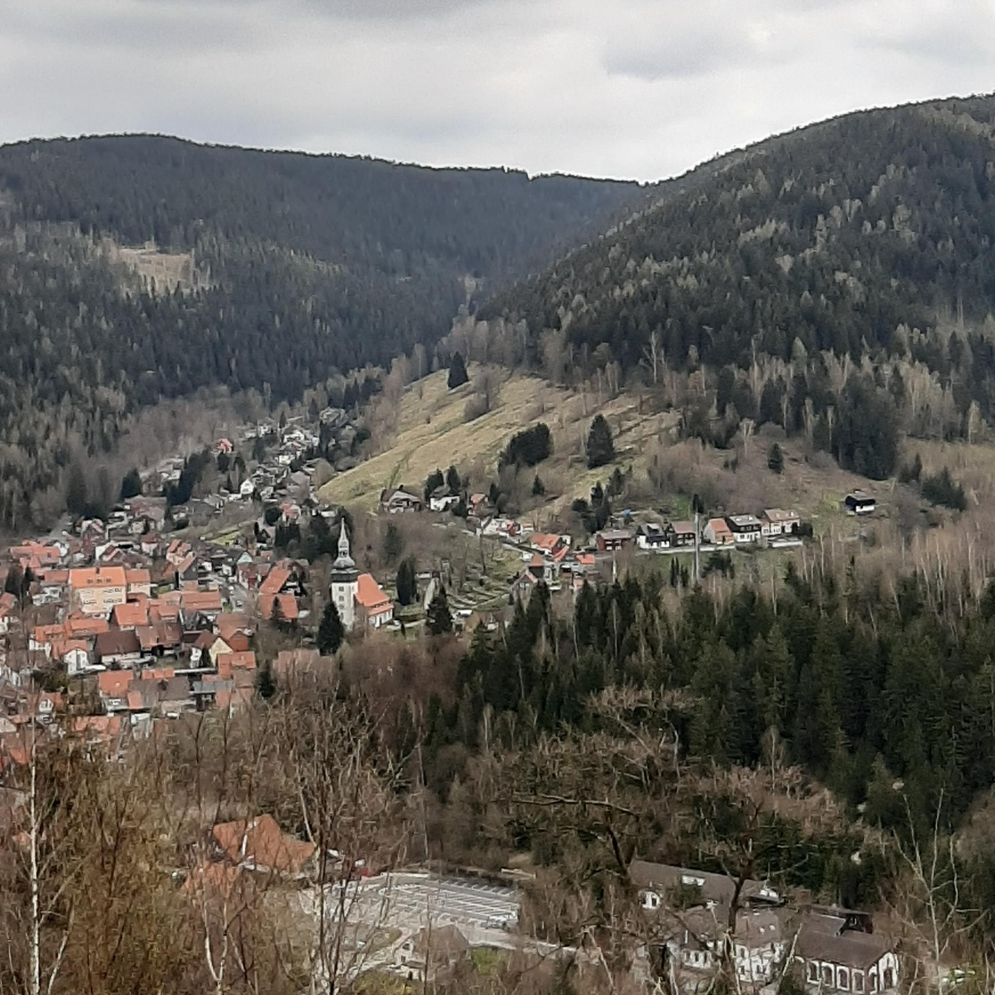
Family-friendly hikes in Rancho San Antonio Open Space Preserve
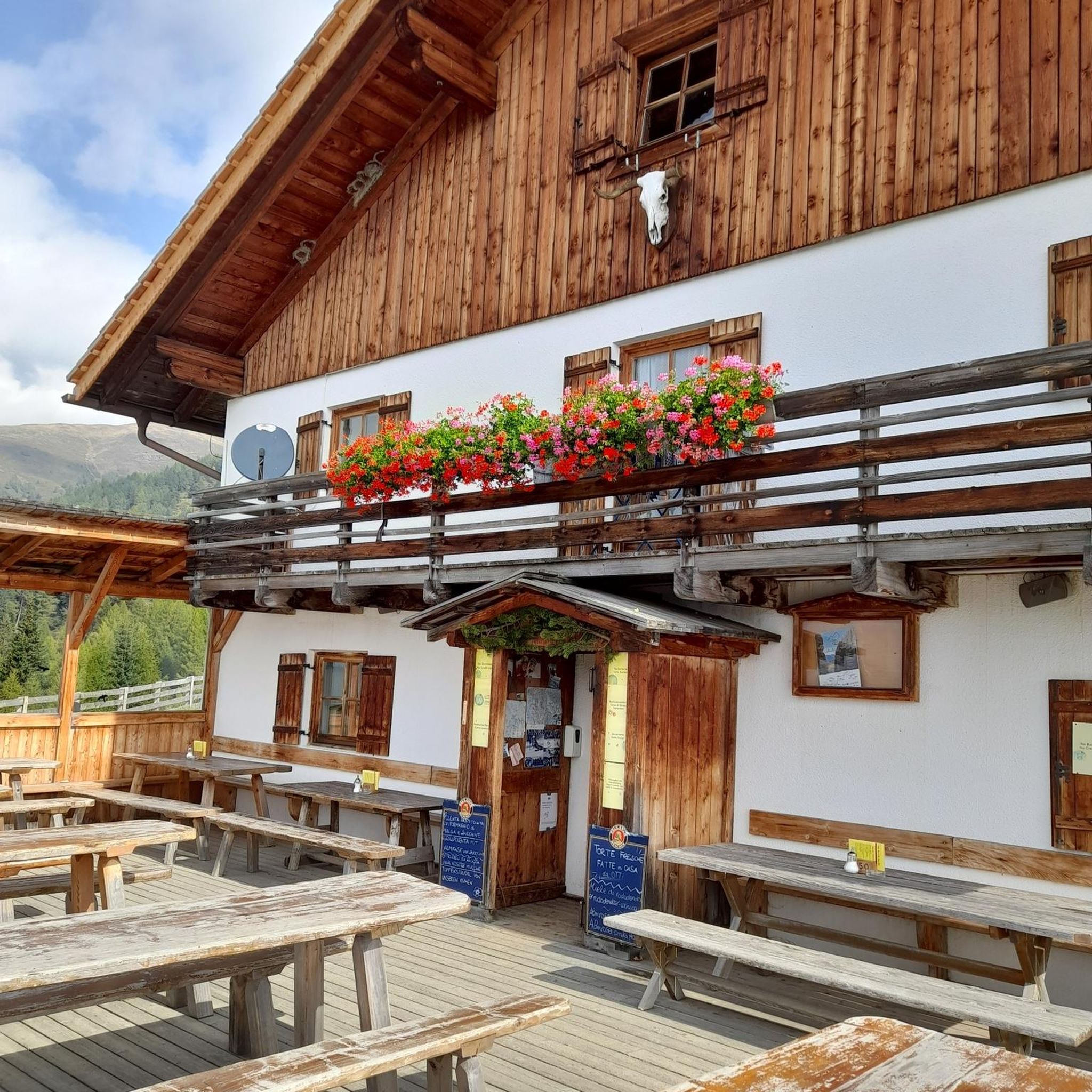
Family-friendly hikes in Mount Chual Open Space Preserve (Closed Area)
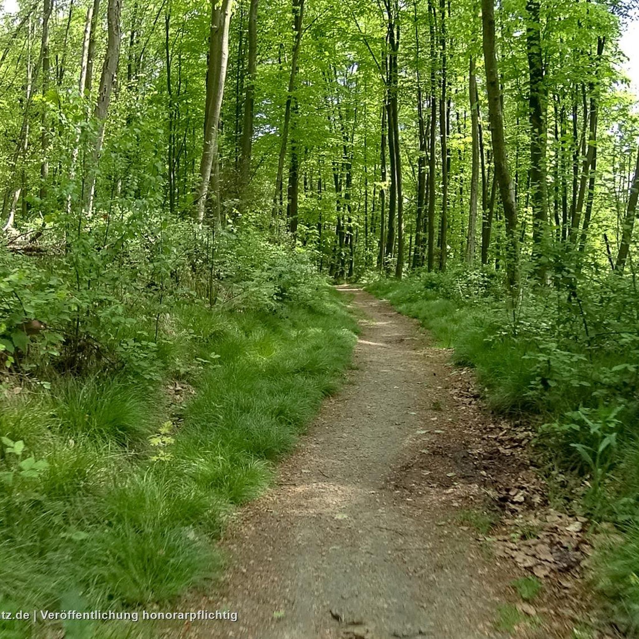
Family-friendly hikes in Monte Bello Open Space Preserve (Closed Area)

Family-friendly hikes in Rancho Canada Del Oro Open Space Preserve - Restricted Area

Family-friendly hikes in Sierra Azul Open Space Preserve (Closed Areas)

Other adventures in Santa Clara County

Bay Area Ridge Trail — Hiking the backbone of The Bay

Hiking Collection by

Andrus

Tips from the Community

ferdinand
March 24, 2025, Pelican Island at Adobe Creek

could not make a loop

0

0

This spot is a fantastic place to view the many American White Pelicans and other birds on the island of Adobe Creek. A lovely bench is here, ideal for taking a quiet break and capturing some beautiful photos.

0

0

great view of the ponds on the trail

0

0

It's really amazing that this stone bridge is still here. I understand it was originally built to easily get pack horses across the creek — and of course the people with them, too.

0

0

Rancho San Antonio County Park shares a boundary with Rancho San Antonio Open Space Preserve, which adds almost 4,000 acres of nature to the 289-acre park. The trails are well-kept and well-marked, but all bikes need to keep on paved-paths only.

0

0

Explore the reclaimed beauty of Charleston Slough, a former Leslie salt pond transforming into a marsh on the western shore of San Francisco Bay. Once altered for saltwater evaporation, the slough underwent significant restoration by the City of Mountain View in 1996, undoing the damage caused by Leslie Salt. Now, it stands as a more environmentally-friendly salt marsh.

0

0

You can see great views from this spot along the High Meadow Trail. Views include the San Francisco Bay to the northwest and the opposing mountains to the east. There is a small bench to relax on and even enjoy a picnic.

0

0

You can see great views from this spot along the Upper High Meadows Trail. Views include the San Francisco Bay to the northwest and the opposing mountains to the east.

0

0

Frequently Asked Questions

How many family-friendly hiking trails are available in Santa Clara County?

Santa Clara County offers a wide variety of options for families, with over 480 hiking trails. More than half of these, around 250 routes, are rated as easy, making them perfect for families with children.

What kind of natural landscapes can we expect to see on family hikes in Santa Clara County?

The county boasts diverse natural landscapes, from the cool, shaded redwood forests in the Santa Cruz Mountains to rolling grasslands, oak woodlands, and chaparral-covered hills. You can also find wetlands and bay shorelines in the northern part of the county, offering varied scenery for your family adventures.

Are there any easy loop trails suitable for families?

Yes, there are several easy loop trails. For a moderately challenging but rewarding loop, consider the Stephen E. Abbors, Wildcat, and Coyote Trail Loop, which is just under 6 km. Another great option is the Adobe Creek Loop Trail, which is a moderate 10.8 km route with minimal elevation gain, offering a pleasant experience for families.

What are some popular parks in Santa Clara County with family-friendly trails?

Many parks in Santa Clara County are excellent for families. Rancho San Antonio County Park and Open Space Preserve is a popular choice, featuring trails like the Stephen E. Abbors, Coyote, and High Meadow Loop. Almaden Quicksilver County Park also offers miles of scenic trails through oak woodlands and historical sites, suitable for various family skill levels.

Can we find trails with good viewpoints for families?

Absolutely! Many trails in Santa Clara County offer fantastic views. For instance, the Byrne Preserve Lookout is a great spot to aim for. The region's varied terrain, including the Santa Cruz Mountains and Diablo Range, provides numerous opportunities for panoramic vistas.

Are there any trails that are particularly good for spotting wildlife with kids?

Yes, areas like Coyote Valley Open Space Preserve and Sierra Vista Open Space Preserve are known for supporting diverse wildlife. Ulistac Natural Area, near Levi's Stadium, also features trails through seven different California natural habitats, including wetlands and oak woodlands, and has a butterfly and hummingbird garden, making it an excellent spot for kids to observe nature.

What is the best time of year to go hiking with family in Santa Clara County?

Santa Clara County enjoys an almost perfect climate, allowing for outdoor enjoyment throughout the year. Spring and fall are particularly pleasant with mild temperatures and vibrant scenery, but the region's consistent weather means you can find great hiking opportunities in any season.

Are there any specific attractions or landmarks we can visit along the trails?

Many trails lead to or pass by interesting natural features. You might encounter the majestic Old Growth Redwood Trees, or enjoy the serene waters of Uvas Reservoir or Camden Ponds. Some routes also offer views of prominent peaks like Black Mountain.

What do other hikers enjoy most about family-friendly trails in Santa Clara County?

The komoot community highly rates the family-friendly trails in Santa Clara County, with an average score of 4.58 stars from over 625 ratings. Reviewers often praise the diverse scenery, well-maintained paths, and the accessibility of trails for various ages and skill levels, making it a rewarding experience for families.

Are there any longer, moderate trails for families with older children?

For families seeking a bit more challenge, the Stephen E. Abbors, Coyote, and High Meadow Loop is a moderate 12.8 km trail with significant elevation gain. Another good option is the Wildcat Loop Trail, a 9.7 km moderate route that offers a good workout while still being enjoyable for active families.

Are there shaded trails available for hiking during warmer days?

Yes, particularly in the Santa Cruz Mountains, you can find trails that wind through redwood forests, offering cool and shaded environments. Sanborn County Park is a prime example, providing extensive trails under the canopy of redwoods, ideal for warmer days.

What about parking availability at trailheads?

Many of Santa Clara County's parks and open space preserves, such as Joseph D. Grant County Park and Rancho San Antonio County Park, are well-equipped with designated parking areas at their trailheads. It's always a good idea to check specific park websites or komoot route details for parking information, especially during peak seasons.

Most popular routes in Santa Clara County

Hiking in Santa Clara County

Most popular attractions in Santa Clara County

Places to see

Store rating

Get inspired with the komoot mobile app

With a free komoot account, you can easily find, customize, and navigate endless outdoor adventures.

or

Join komoot Now

Store rating

Didn’t find what you were looking for?

Check out more Hikes throughout Santa Clara County below and find the perfect route in your destination.

Los GatosCampbellCupertinoPalo AltoSunnyvaleLos AltosChesbro Reservoir County ParkHenry Coe State ParkAnderson Lake County ParkStevens Creek Shoreline Nature Study Area Open Space PreserveCoyote Valley Open Space PreserveSierra Azul Open Space PreserveSt. Joseph'S Hill Open Space PreserveSierra Azul Open Space Preserve (Closed Areas)Bear Creek Redwoods Open Space PreserveSanborn County ParkSierra Vista Open Space PreserveLexington Reservoir County ParkMilpitasSanta Cruz MountainsSanta Teresa County ParkSanta ClaraStanfordFremont Older Open Space PreserveFelton Station Open Space Preserve (Closed)Mountain ViewEd R. Levin County ParkLos Altos HillsMount Madonna County ParkJoseph D. Grant County ParkUpper Uvas Creek Open Space Preserve (Closed Area)San JoseEl Toro Open Space PreserveUpper Stevens Creek County ParkStevens Creek County ParkRancho Canada Del Oro Open Space Preserve - Restricted AreaUvas Reservoir County ParkCoyote Ridge Open Space PreserveMonte Bello Open Space Preserve (Closed Area)Calero County ParkRancho San Antonio County ParkLos Trancos Open Space PreserveMount Chual Open Space Preserve (Closed Area)Rancho Canada Del Oro Open Space PreserveSaratoga Gap Open Space Preserve (Closed Areas)East FoothillsFoothills Open Space PreserveMáyyan 'Ooyákma – Coyote Ridge Open Space PreserveEl Sereno Open Space Preserve (Closed Areas)Picchetti Ranch Open Space PreserveRanch Canada Del Oro Open Space Preserve (Closed Areas)Coyote Lake - Harvey Bear Ranch County ParkAlmaden Quicksilver County ParkEl Sereno Open Space PreserveUvas Canyon County ParkMonte Bello Open Space PreserveBear Creek Redwoods Open Space Preserve (Closed Area)Little Uvas Open Space Preserve (Restricted Area)Rancho San Antonio Open Space PreserveLexington Reservoir County Park (Closed Area)Saratoga Gap Open Space Preserve

Other places to explore

Nearby adventure guides

Things to Do in Máyyan 'Ooyákma – Coyote Ridge Open Space Preserve

background

Get ready to conquer new peaks

Sign up for Free

Explore
RoutesRoute plannerFeaturesHikesMTB TrailsRoad cycling routesBikepackingSitemap
Download the app
Follow Us on Socials

© komoot GmbH

Privacy Policy