The best hikes from bus stations in Napa County
4.7
(75)
1,495
hikers
9
hikes
Hiking in Napa County features a landscape characterized by rolling hills, expansive vineyards, and dense forests of oak, redwood, and Douglas fir. The region is framed by the Vaca Range and Mayacamas Mountains, with Mount St. Helena as a prominent landmark. Diverse ecosystems include riparian habitats, chaparral, and grasslands, alongside unique geological features like volcanic boulders.
Best bus station hiking trails in Napa County
- The most popular bus station hiking route is Vallejo-Benicia Buffer Trail, a 2.9 miles (4.6…
Last updated: October 24, 2026
4.65km
01:20
70m
200m
Embark on an easy hike along the Vallejo-Benicia Buffer Trail, a 2.9-mile (4.6 km) route that offers varied terrain across unpaved, hilly grasslands. You will gain 242 feet (74 metres)…
5.0
(1)
18
hikers
13.1km
03:38
230m
230m
Moderate hike. Good fitness required. Easily walkable paths.

24
hikers
11.0km
03:13
300m
300m
Moderate hike. Good fitness required. Easily walkable paths.
8
hikers
18.3km
05:03
310m
310m
Hard hike. Very good fitness required. Easily walkable paths.
5
hikers
4.31km
01:06
20m
20m
Easy hike. Easily walkable paths.
Get access to more routes and recommendations from other explorers.
Already have an account?
Our route recommendations are based on thousands of hikes, rides, and runs completed by other people on komoot.
Start today with a free account
Your next adventure awaits.

Tips from the Community

Peña Adobe Park is a smaller park within the 306-acre Lagoon Valley Park. There is a visitor center that has information on the first settlers in the area and other local history.
0
0
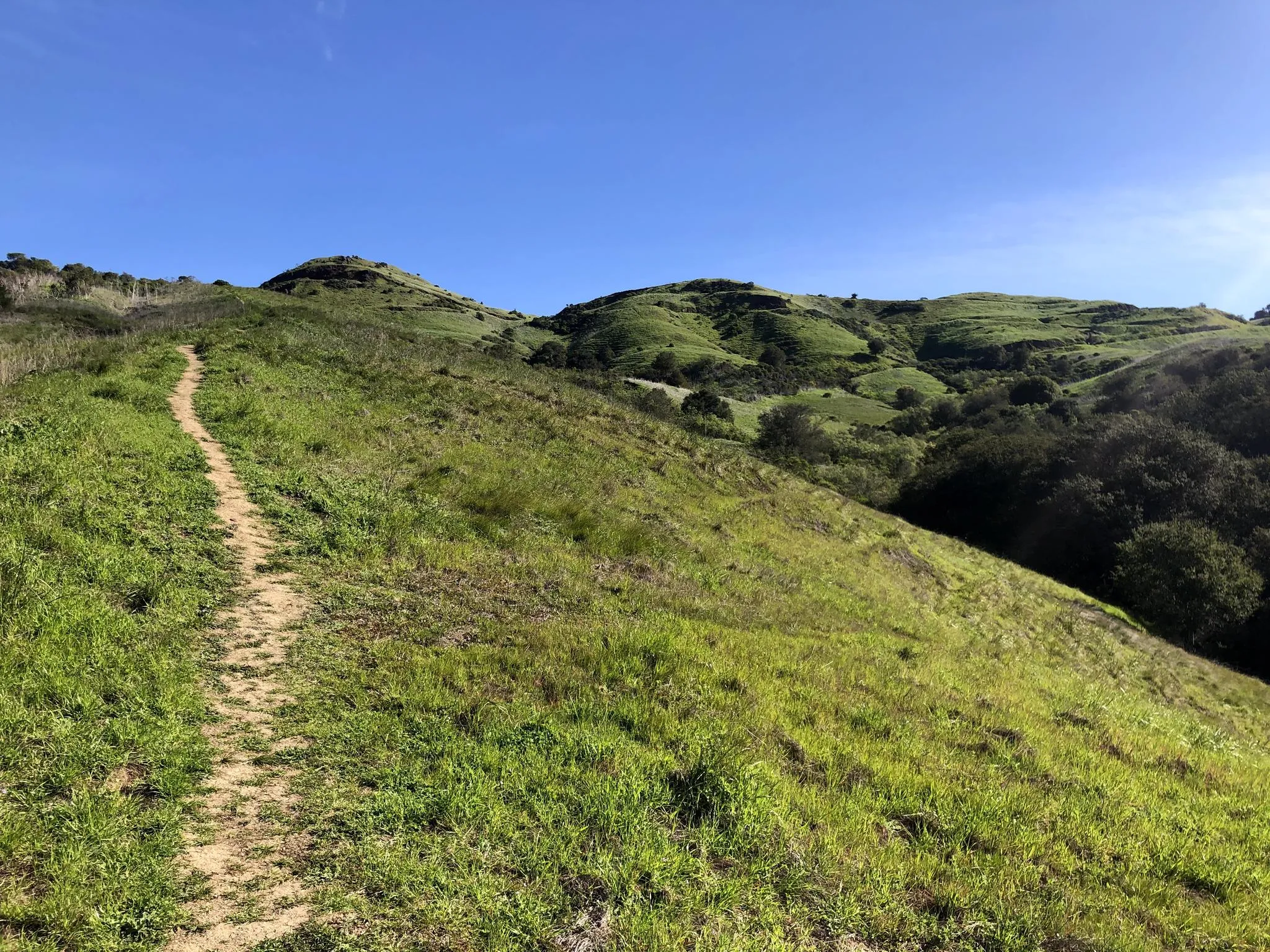
Small hill that takes you up above Peña Adobe Park and gives you great views of Lagoon Valley Regional Park and the lake.
0
0
The Lagoon Valley Park Ridge Trail is a fairly straightforward fire road that takes you up to a great viewpoint. There is some elevation change, but the gradient is fairly gentle.
0
0
Sonoma Plaza is the main square in the center of Sonoma. Along with City Hall, there are several shops and restaurants in the plaza.
0
0

Explore Sonoma State Historic Park, where history comes alive across six significant sites: Mission San Francisco Solano, Sonoma Barracks, Blue Wing Inn, La Casa Grande, Lachryma Montis, and Toscano Hotel. Established in 1909, starting with the mission, the park expanded to include locations tied to Mariano Guadalupe Vallejo. Ride through town to visit these landmarks and immerse yourself in California's rich history.
0
0

The Warren Richardson Trail is a gravel and dirt path that begins at the main entrance on the eastern side of the park. It ascends to the summit of the main ridge, then gently descends to the scenic Lake Ilsanjo, located near the park's center. It's one of the most scenic trails the park offers.
1
0

This scenic park, spanning 306 acres, surrounds the beautiful Lagoon Lake. It includes plenty of open space, multi-use trails, and is a popular place for hosting outdoor events. Several picnic tables and benches are along the water, making it an ideal place to begin and end a run.
0
0
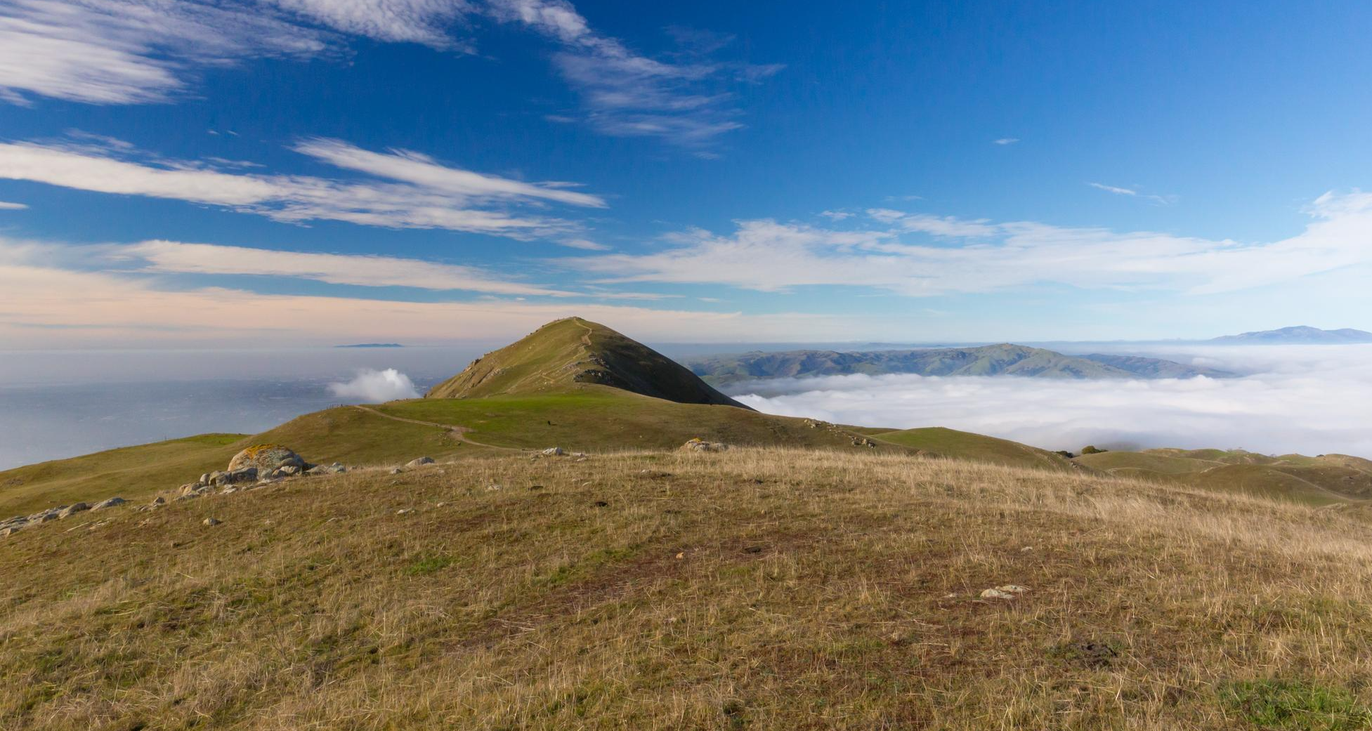
This hill offers stunning panoramic views of the valley and is a fantastic spot to take a moment to catch your breath and enjoy the scenery. There is a sign here marking the end of the trail where you can head back, or follow the path to continue the loop back to the parking area.
0
0
Frequently Asked Questions
How many bus-accessible hiking trails are available in Napa County?
There are 3 curated hiking routes in Napa County that are easily accessible from bus stations. These routes offer a convenient way to explore the region's natural beauty using public transport.
What is the general difficulty level of bus-accessible hikes in Napa County?
The bus-accessible hikes in Napa County are generally quite approachable. You'll find 2 easy routes and 1 moderate route, making them suitable for a wide range of hikers, including beginners and families.
What do other hikers enjoy most about hiking in Napa County?
The komoot community highly rates the hiking experiences in Napa County, with an average score of 4.7 stars. Reviewers often praise the diverse landscapes, from rolling vineyards to dense forests, and the rewarding views. The accessibility of trails, even those near bus stations, is also a frequently highlighted positive aspect.
Are there easy hikes accessible by bus in Napa County?
Yes, there are several easy hikes accessible by bus. For example, the Vallejo-Benicia Buffer Trail offers a pleasant 4.6 km walk, and the Browns Valley Open Space Trail is a shorter, easy option at 1.3 km. These are great for a relaxed outing.
What is the best time of year to hike in Napa County from a bus station?
Spring and fall are generally the best times for hiking in Napa County. In spring, trails burst with vibrant wildflowers, and the weather is mild. Fall offers pleasant temperatures and beautiful autumn colors. Winter can also be rewarding, especially after seasonal rains when features like Linda Falls are at their most impressive, though some trails might be muddy. Summers can be hot, so early morning hikes are recommended.
Are there any circular routes reachable by bus in Napa County?
Yes, the Peña Adobe Lagoon – Lagoon Valley Park Ridge Trail loop from Vacaville is a moderate 12.9 km circular route that can be accessed via public transport. It offers a great way to experience the area without needing to retrace your steps.
Are the bus-accessible hiking trails in Napa County suitable for families?
Many of the bus-accessible trails, particularly the easy ones, are suitable for families. Routes like the Browns Valley Open Space Trail are shorter and have minimal elevation gain, making them ideal for outings with children. The diverse landscapes also offer plenty of interesting sights for younger explorers.
What kind of natural features and viewpoints can I expect on bus-accessible trails?
Napa County's bus-accessible trails offer a variety of natural features. You can expect to see rolling hills, oak woodlands, and open grasslands. Some trails provide scenic viewpoints of the surrounding valleys. For example, the region is known for its volcanic boulders and diverse flora, which add to the scenic beauty, especially during wildflower season.
Are there any interesting landmarks or attractions near the bus-accessible trails?
While directly adjacent to bus stops, some trails are close to notable attractions. The broader Napa County area features highlights like the Napa Valley Vine Trail and Lake Hennessey. Depending on the specific bus route, you might find yourself near points of interest like the Napa River Trail, offering additional exploration opportunities.
What should I wear for hiking in Napa County, especially when using bus routes?
Given the varied terrain and potential for changing weather, it's best to dress in layers. Comfortable, sturdy hiking shoes are essential. During spring, be prepared for vibrant wildflowers but also potential mud after rains. In summer, lightweight, breathable clothing and sun protection are key. Always carry water, especially on longer routes, as amenities might not be directly at every trailhead.
Are there any less crowded hiking options accessible by bus in Napa County?
While specific crowd levels can vary, exploring trails like the Drakes Point Trail, which is a 2.1 km easy route, might offer a more tranquil experience compared to more widely known parks. Opting for hikes during off-peak hours or weekdays can also help you find more solitude.
Most popular routes in Napa County
Most popular attractions in Napa County

Get inspired with the komoot mobile app


Explore more
Browse the best Hikes in other regions.
