The best hikes from bus stations around Hoya De Teruel
4.4
(863)
5,502
hikers
68
hikes
Bus station hiking trails around Hoya De Teruel offer access to a diverse landscape characterized by varied terrain and ecosystems. The region features extensive coniferous forests, riverside poplar groves, and wide moorlands, with altitudes ranging from 1,000 to 1,500 meters. Hikers can explore unique geological formations, including eroded clay landscapes and riverine gorges, alongside water features such as the Embalse del Arquillo de San Blas and the Hoz del Río Mijares. The area provides a network of routes suitable for different fitness levels, connecting natural attractions and historical paths.
Best bus station hiking trails around Hoya De Teruel
- The most popular bus station hiking route is Aceicuca Trail, a 3.2 miles (5.1 km) trail that takes 1 hour 25 minutes to complete. This easy route features minimal elevation gain, making it accessible for many.
- Another top favourite among local hikers is Circular route to Morrón de Olba, a moderate 5.5 miles (8.9 km) path. This route includes a notable ascent, offering views of the surrounding landscape.
- Local hikers also love the Torre del Salvador – Viaducto Viejo de Teruel loop from Teruel, a 5.6 miles (9.0 km) trail leading through urban and natural landscapes, often completed in about 2 hours 30 minutes.
- Hiking around Hoya De Teruel is defined by river valleys, coniferous forests, and eroded badlands. The network offers options for different ability levels, from easy walks to more challenging ascents.
- The routes in Hoya De Teruel are highly rated by the komoot community with an average score of 4.5 stars from more than 550 reviews. More than 3,500 hikers have used komoot to explore Hoya De Teruel's varied terrain.
Last updated: October 6, 2026
4.3
(3)
13
hikers
5.10km
01:25
90m
90m
The Aceicuca Trail immerses you in the serene beauty of the Mijares River, offering an easy and accessible hiking experience. Spanning 5.1 kilometers with an elevation gain of just 90 meters, the route allows you to enjoy a leisurely stroll lasting approximately 1 hour and 24 minutes. You'll walk along gentle paths that wind beside the water, passing through the picturesque village of Olba and the historic Acueducto de la Salud, making it an ideal choice for a relaxed day in nature.
To begin your adventure on the Aceicuca Trail, head to the vicinity of Fuente de la Salud, the starting point for this circular route. Access is straightforward, and while no special permits are required, it's advisable to plan your visit during off-peak hours to ensure convenient parking. Spring and autumn mornings are perfect for enjoying the trail with mild temperatures and beautiful light.
This route stands out for its combination of riverside nature and historical elements, such as the Acueducto de la Salud, which adds a cultural touch to your walk. It's an excellent option for those looking for an introduction to hiking or for families with children, thanks to its easy difficulty and mostly flat terrain. Furthermore, the constant presence of the Mijares River offers opportunities to observe local flora and fauna, making every step an enriching experience.
4.5
(4)
7
hikers
8.85km
02:46
360m
360m
Moderate hike. Good fitness required. Easily-accessible paths. Suitable for all skill levels.

3.8
(5)
27
hikers
8.99km
02:28
150m
150m
Moderate hike. Good fitness required. Easily-accessible paths. Suitable for all skill levels.
3.7
(3)
41
hikers
5.89km
01:41
140m
140m
Easy hike. Great for any fitness level. Easily-accessible paths. Suitable for all skill levels.
4.7
(6)
29
hikers
7.85km
02:09
120m
120m
Moderate hike. Good fitness required. Easily-accessible paths. Suitable for all skill levels.
Get access to more routes and recommendations from other explorers.
Already have an account?
Our route recommendations are based on thousands of hikes, rides, and runs completed by other people on komoot.
Start today with a free account
Your next adventure awaits.
Popular around Hoya De Teruel
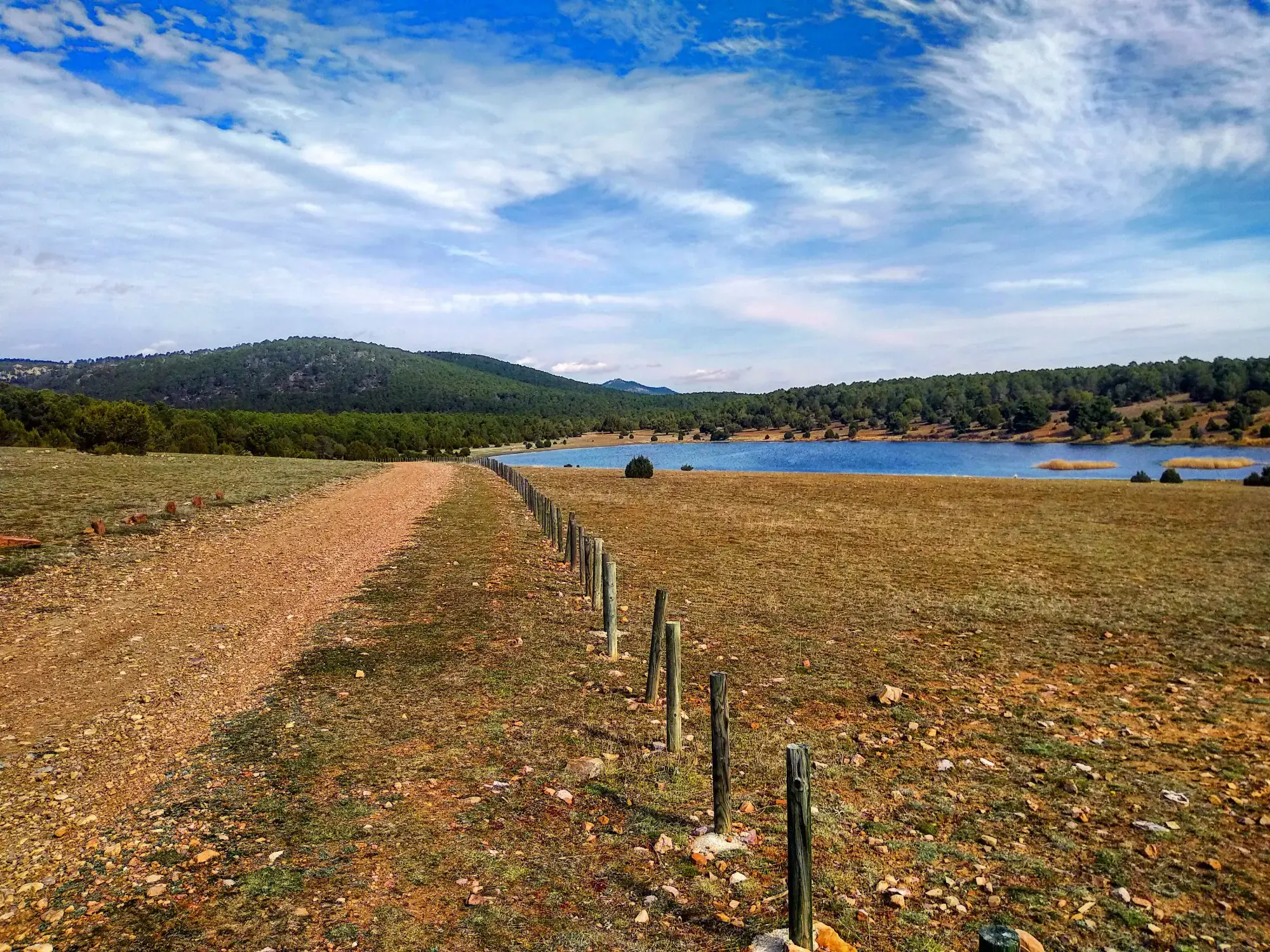
Sendero Español GR 10 — De este a oeste
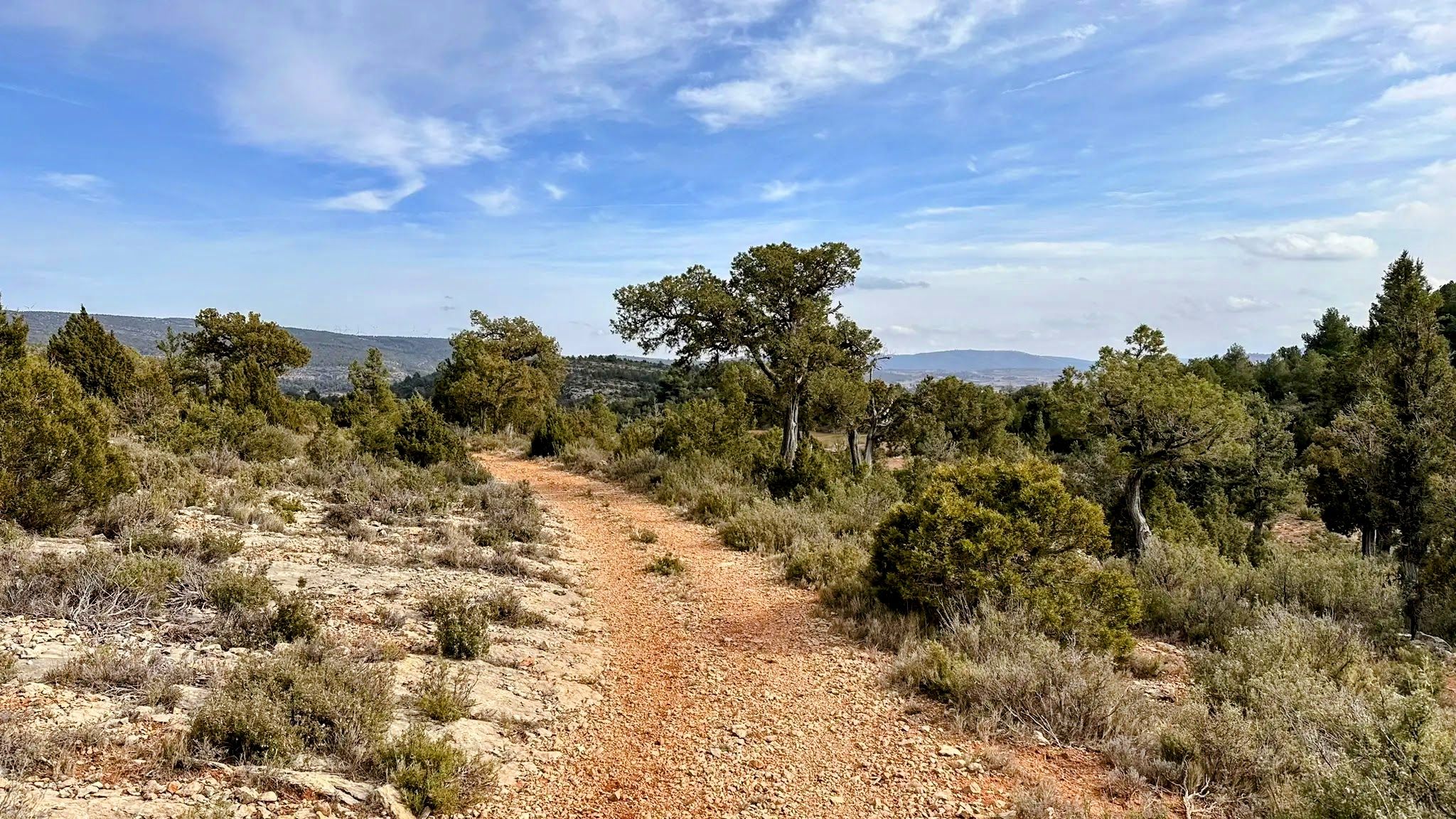
Between junipers and ravines - The Livestock Routes of the Serranía del Turia (GR 37)
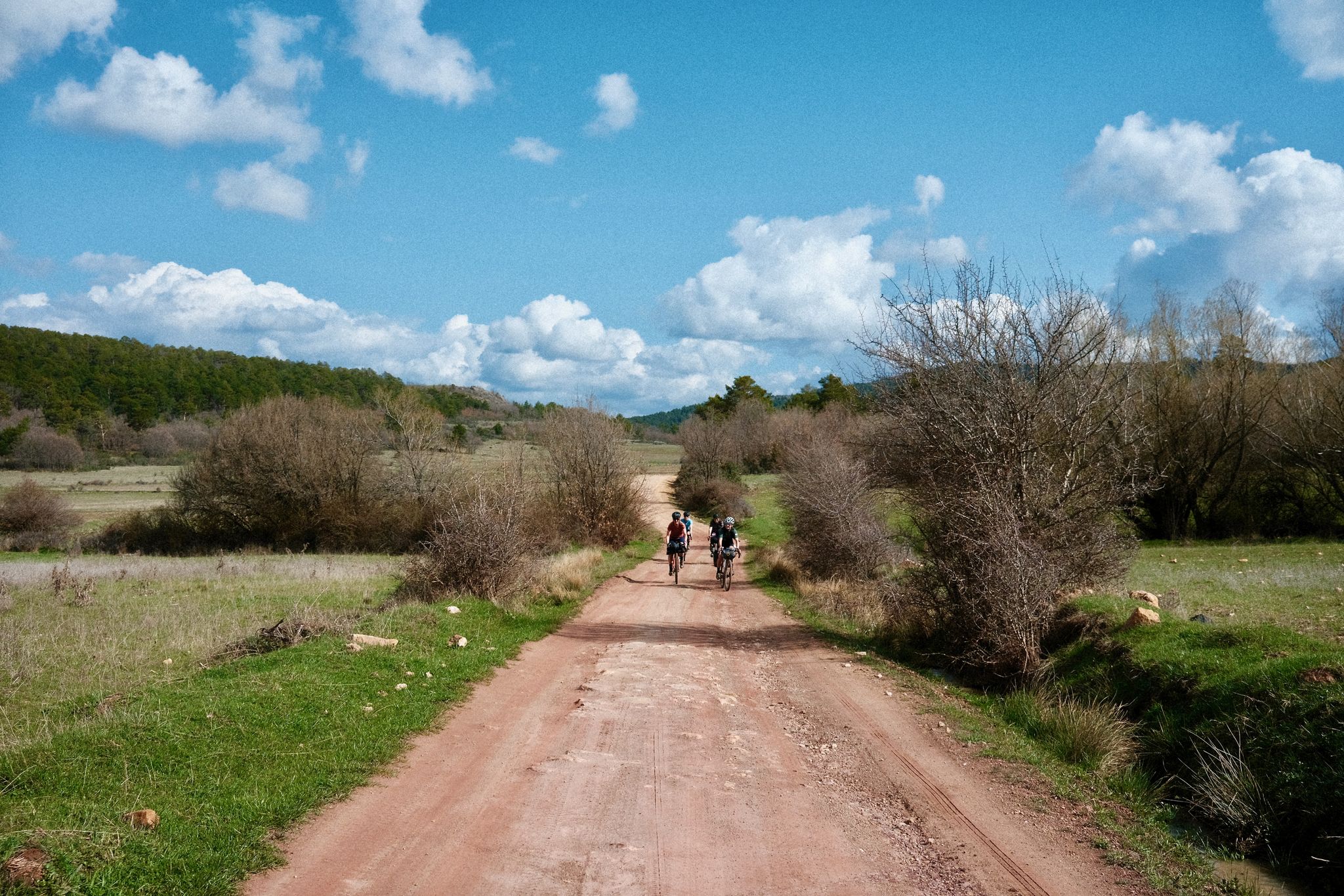
Women's Montañas Vacías 2022 — bikepack in rural Spain

MontañasVacías official — bikepacking across the Spanish Lapland

Montañas Vacías — bikepacking the wild and remote 'Empty Mountains'
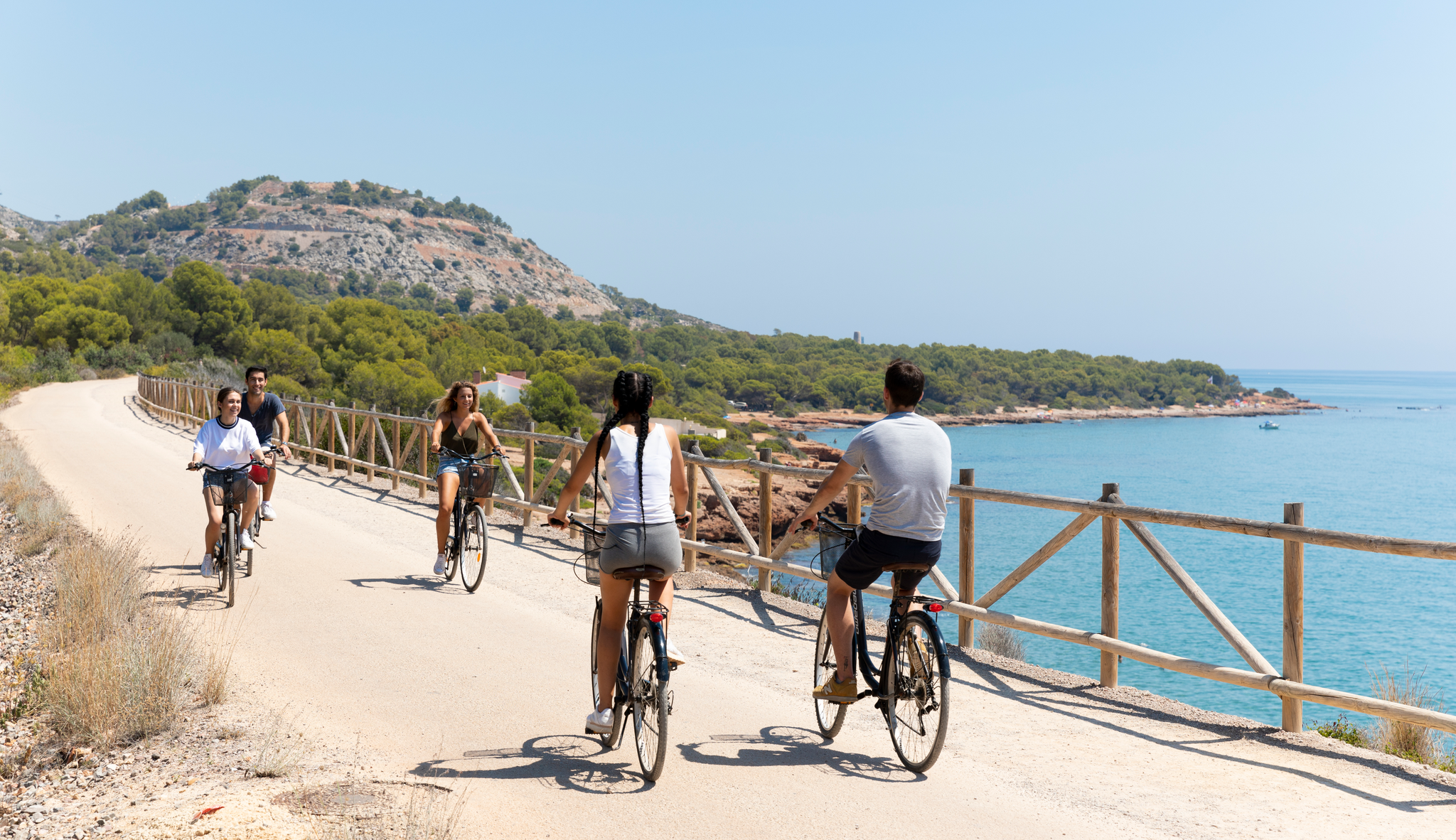
Costa del Azahar and the interior of Castellón by its greenways
Path of the Templars — Path of the True Cross (GR 250)
European Divide Trail across the Iberian Peninsula – central
An epic getaway – Santander-Mediterráneo Nature Trail
Nature in its purest form – bikepacking in the Sierra de Albarracín
Other adventures around Hoya De Teruel


Tips from the Community

Great place to rest and eat something outdoors.
0
0

Good views of the surroundings and a good starting point for routes in Enduroland
0
0

The entrance fee of €5 combined with the Museum of Sacred Art is definitely worth it.
1
0
The ascent of the tower is a must with € 3.00. There is a lot of information about Mudéjar architecture. The bell ringing and the view are an experience.
2
0

It is a spontaneous natural viewpoint, typical of high mountain areas where: There are panoramic views towards the surroundings of Vilafranca, The landscape of hills, terraces, pine forests and open areas can be observed, There are no built structures (railings, information panels, etc.).
2
0
The Los Arcos Aqueduct is located in Teruel, on Calle Bajo los Arcos (also known as Camino Bajo los Arcos), and is one of the city's most emblematic monuments. Construction: Between 1537 and 1554, designed by the French architect Quinto Pierres Vedel. Function: It served as both an aqueduct and a viaduct, supplying water to the city and allowing passage over the ravine.
4
0

This aqueduct is also a viaduct, as the piers of the second section are open to traffic. It is a work by the Frenchman Quinto Pierres Vedel, begun in 1537 and completed by the end of the 16th century. It consists of two tiers of arches. This bridge compensates for the difference in elevation between medieval and modern Teruel.
2
0
The wall of Teruel is one of the city's most important heritage sites and has been declared a Site of Cultural Interest. Although nothing remains of the old castle of Teruel, important remains of the wall remain, including walls, portals, and several towers.
11
0
Frequently Asked Questions
How many hiking trails are accessible directly from bus stations in Hoya De Teruel?
There are over 50 hiking routes in Hoya De Teruel that are easily accessible from bus stations. These routes cater to various fitness levels, including 25 easy, 27 moderate, and 2 difficult trails.
Are there any easy, family-friendly hikes accessible by bus in Hoya De Teruel?
Yes, Hoya de Teruel offers several easy, family-friendly options. For instance, the Aceicuca Trail is an easy route that provides a pleasant walk suitable for families. Many trails along the Guadalaviar River, like those near Embalse del Arquillo de San Blas, are also well-conditioned and offer gentle terrain.
What kind of landscapes can I expect to see on bus-accessible hikes in Hoya De Teruel?
Hoya de Teruel's bus-accessible hikes offer a diverse range of landscapes. You can explore extensive coniferous forests, serene riverside poplar groves, and even unique eroded clay terrains reminiscent of a 'Wild West' landscape. The region's varied ecosystems include moorlands and steppes, with altitudes ranging from 1,000 to 1,500 meters, providing a rich visual experience.
Are there any circular hiking routes reachable by bus in Hoya De Teruel?
Yes, several circular routes are accessible by bus. For a moderate challenge, consider the Circular route to Morrón de Olba. Within Teruel itself, routes like the Torre del Salvador – Viaducto Viejo de Teruel loop from Teruel offer convenient circular options starting and ending near the city's bus connections.
Can I bring my dog on the hiking trails around Hoya De Teruel?
Many trails in Hoya de Teruel are dog-friendly, allowing you to enjoy the natural beauty with your canine companion. It's always recommended to keep dogs on a leash, especially in areas with wildlife or near agricultural land, and to check local regulations for specific routes.
What are some notable natural features or landmarks I can see on these bus-accessible hikes?
You can discover a variety of natural and historical landmarks. The region features stunning riverine landscapes like the Hoz del Río Mijares and natural springs such as Fuente de la Salud in Olba. For panoramic views, some routes might offer glimpses of significant mountain passes like Puerto de Losilla or even distant peaks like Pico Javalambre.
What is the best time of year to hike from bus stations in Hoya De Teruel?
The best time to hike in Hoya de Teruel generally depends on the specific trail and your preference. Spring and autumn offer pleasant temperatures and vibrant landscapes, ideal for most routes. Summer can be warm, making early morning or late afternoon hikes preferable, especially for trails with less shade. Winter hiking is possible, particularly on lower-altitude trails, but higher elevations may experience snow.
Are there any routes that feature water elements like waterfalls or natural pools?
Yes, the region is rich in water features. In Olba, you can find natural pools perfect for a refreshing stop, and the impressive Cascada del Molino (waterfall) provides a beautiful natural spectacle. The Embalse del Arquillo de San Blas also offers scenic walks along the Guadalaviar River.
What do other hikers say about the bus-accessible trails in Hoya De Teruel?
The hiking trails in Hoya de Teruel are highly regarded by the komoot community, with an average rating of 4.5 out of 5 stars from over 550 reviews. Hikers often praise the diverse landscapes, the accessibility of trails from public transport, and the well-maintained paths that allow for enjoyable exploration of the region's natural beauty.
Are there any historical or cultural routes accessible by bus in the Hoya De Teruel area?
Yes, parts of the famous Camino del Cid, a cultural route tracing the path of Rodrigo Díaz de Vivar, run through Teruel and are accessible. Additionally, some old railway lines have been converted into Vías Verdes (greenways), offering over 90 kilometers of routes through varied terrain, including tunnels and viaducts, which can be reached via public transport connections.
Are there any viewpoints accessible from bus-friendly hiking trails in Hoya De Teruel?
Many trails in Hoya de Teruel offer rewarding viewpoints, especially those that ascend to higher ground or traverse mountain passes. While specific viewpoints vary by route, you can expect panoramic vistas of the diverse natural parks, river valleys, and unique geological formations, particularly from trails leading towards areas like Puerto Javalambre or other elevated sections.
Most popular routes around Hoya De Teruel
Most popular attractions around Hoya De Teruel

Get inspired with the komoot mobile app


Explore more
Browse the best Hikes in other regions.
